Taylor County is a county located in the U.S. state of Iowa. As of the 2020 census, the population was 5,896, making it the fourth-least populous county in Iowa. The county seat is Bedford. The county was formed in 1847 and named after General and President Zachary Taylor.
| Name: | Taylor County |
|---|---|
| FIPS code: | 19-173 |
| State: | Iowa |
| Founded: | 1847 |
| Named for: | Zachary Taylor |
| Seat: | Bedford |
| Largest city: | Bedford |
| Total Area: | 535 sq mi (1,390 km²) |
| Land Area: | 532 sq mi (1,380 km²) |
| Total Population: | 5,896 |
| Population Density: | 11/sq mi (4.3/km²) |
| Time zone: | UTC−6 (Central) |
| Summer Time Zone (DST): | UTC−5 (CDT) |
| Website: | taylorcounty.iowa.gov |
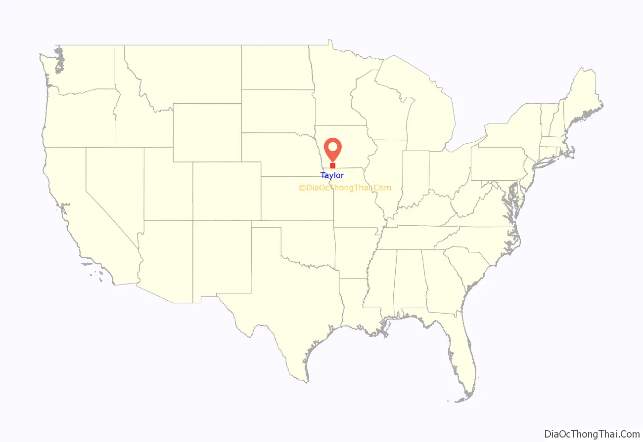
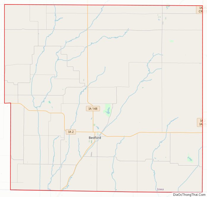
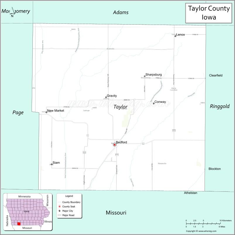
Taylor County location map. Where is Taylor County?
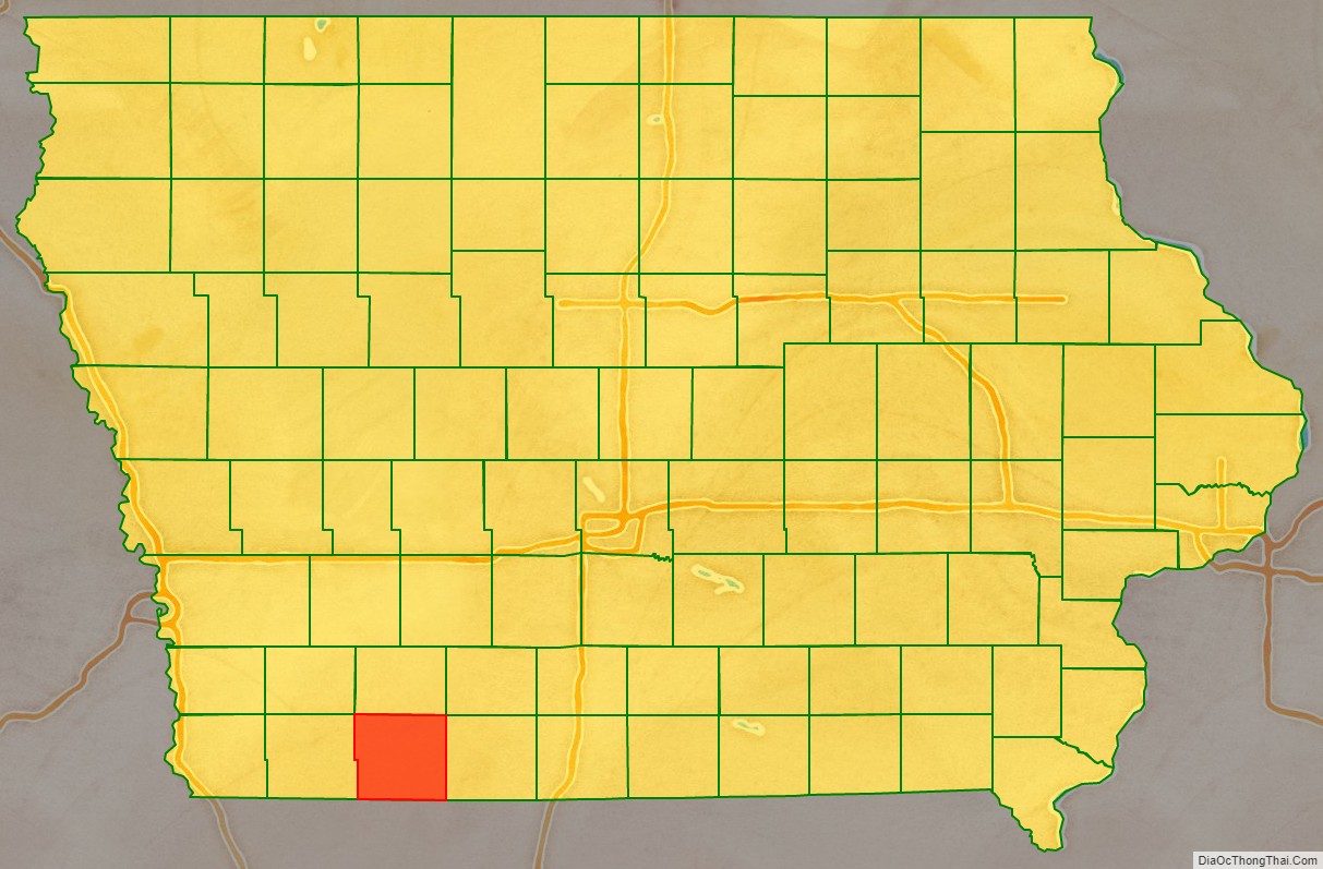
Taylor County Road Map
Geography
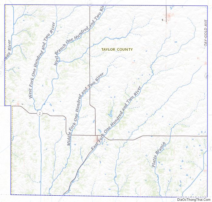
According to the U.S. Census Bureau, the county has a total area of 535 square miles (1,390 km), of which 532 square miles (1,380 km) is land and 2.8 square miles (7.3 km) (0.5%) is water.
A portion of Taylor County at one time was part of Missouri.
Major highways
- Iowa Highway 2
- Iowa Highway 25
- Iowa Highway 148
Adjacent counties
- Adams County (north)
- Ringgold County (east)
- Worth County, Missouri (southeast)
- Nodaway County, Missouri (southwest)
- Page County (west)
Taylor County Topographic Map
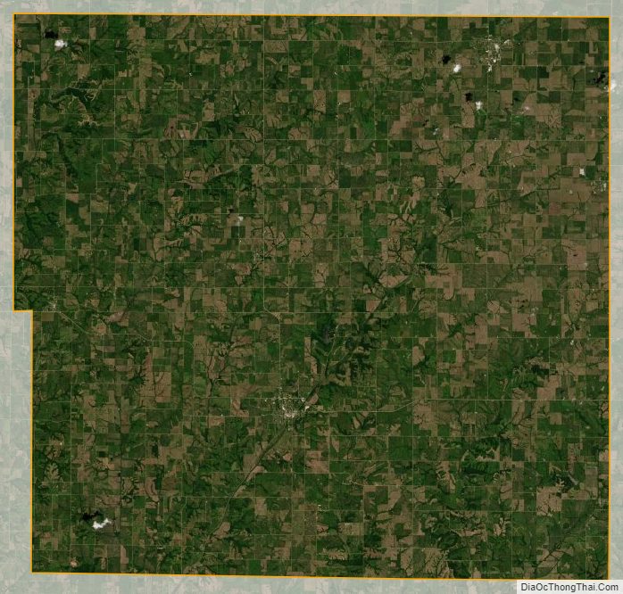
Taylor County Satellite Map
Taylor County Outline Map