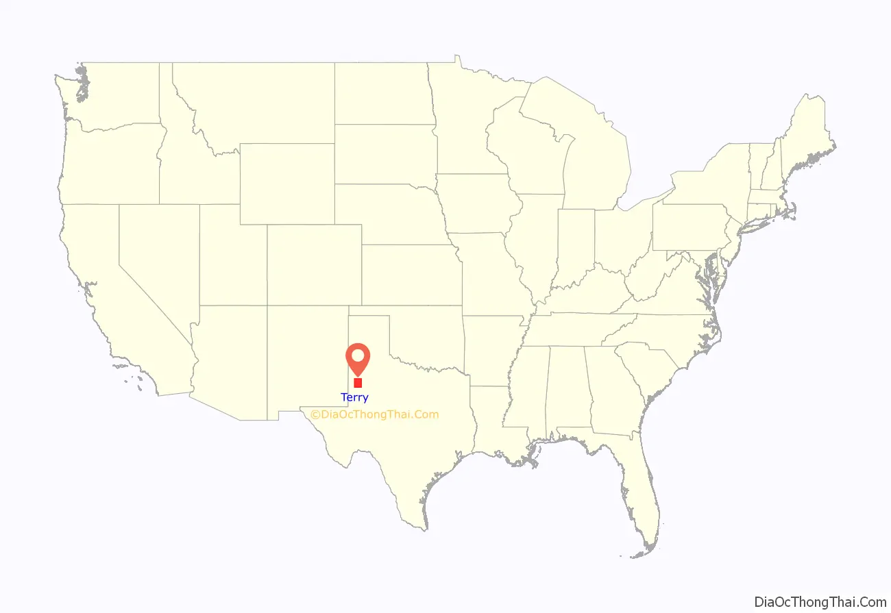
Terry County is a county located in the U.S. state of Texas. As of the 2020 census, its population was 11,831. Its county seat is Brownfield. The county was demarked in 1876 and organized in 1904. It is named for Benjamin Franklin Terry, a colonel in the Confederate Army. Terry County was one of 46 dry counties in the state of Texas, but is now a moist county. Terry County is one of the most productive pumpkin producing counties in the United States.
| Name: | Terry County |
|---|---|
| FIPS code: | 48-445 |
| State: | Texas |
| Founded: | 1904 |
| Named for: | Benjamin Franklin Terry |
| Seat: | Brownfield |
| Largest city: | Brownfield |
| Total Area: | 891 sq mi (2,310 km²) |
| Land Area: | 889 sq mi (2,300 km²) |
| Total Population: | 11,831 |
| Population Density: | 13/sq mi (5.1/km²) |
| Time zone: | UTC−6 (Central) |
| Summer Time Zone (DST): | UTC−5 (CDT) |
| Website: | www.co.terry.tx.us |
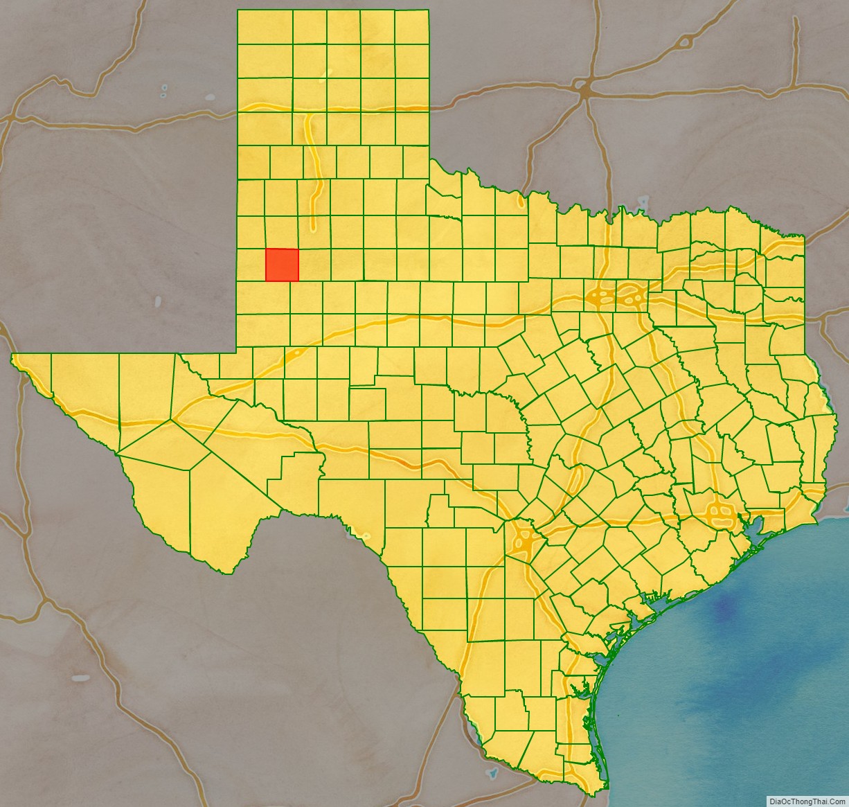
Terry County location map. Where is Terry County?
History
Terry County was formed from Bexar County in 1876 and named for Col. Benjamin Franklin Terry, who commanded the Terry’s Texas Rangers in the Civil War.
In 1877, the ill-fated Nolan Expedition crossed the county in search of livestock stolen by Comanche renegades. The various Indian tribes had moved on by the time of white settlement, due to the depletion of the buffalo herds by hunters.
Terry County was organized in 1904, with Brownfield as the county seat.
The county was settled by ranchers such as Ira J. Coulver, J. R. Quinn, Englishman Q. Bone, and Marion V. Brownfield. By 1910 Terry County had 235 farms and 23,000 acres (93 km) of improved land, with corn being the most important crop.
Terry County lies in the oil-rich north Permian Basin, and the discovery of oil in 1940 quickly led to production. By 1991 almost 363,143,000 barrels (57,735,100 m) of crude had been extracted from Terry County lands since 1940.
In 1991, Terry County was among the leading cotton counties in Texas.
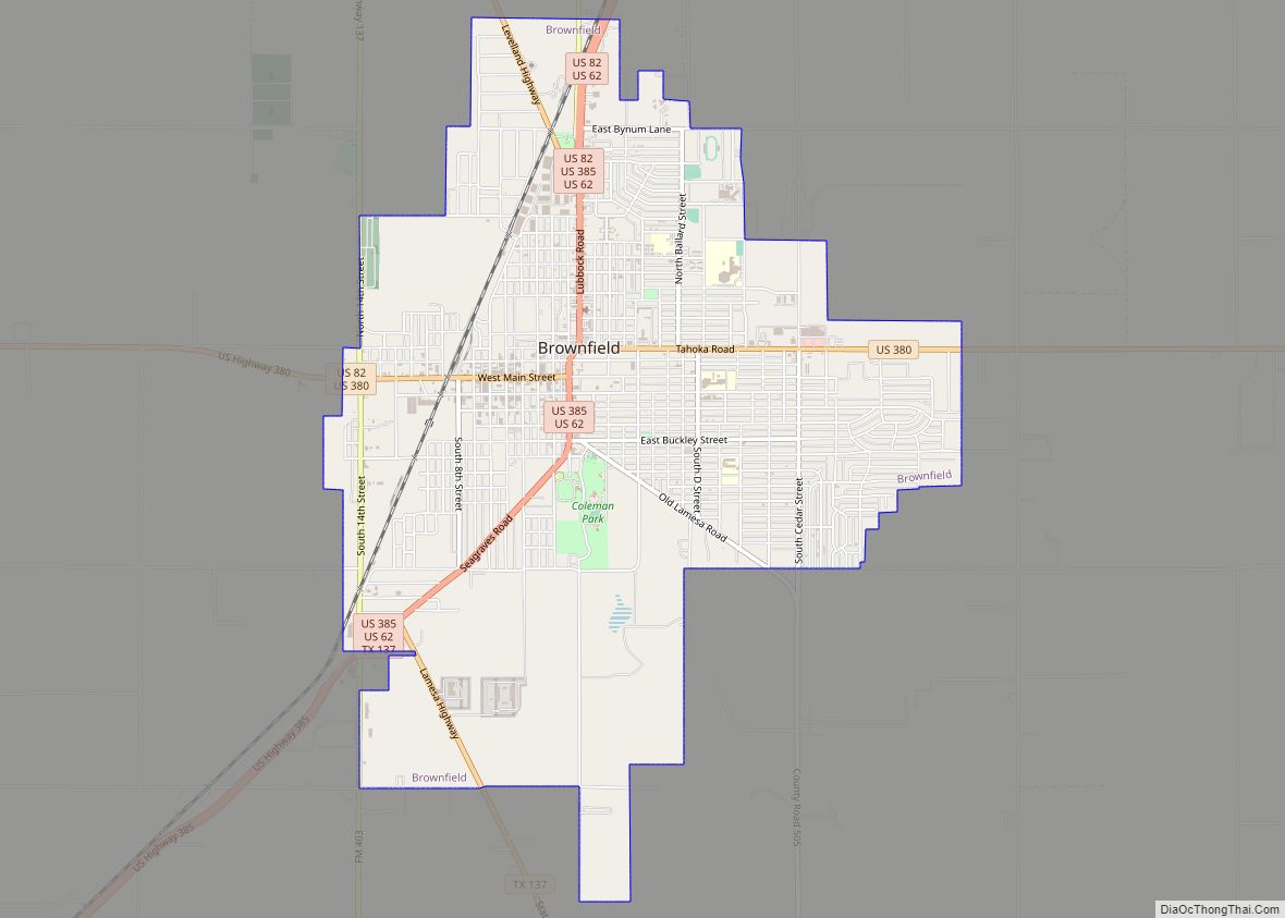
Terry County Road Map
Geography
According to the U.S. Census Bureau, the county has a total area of 891 square miles (2,310 km), of which 889 square miles (2,300 km) are land and 2.1 square miles (5.4 km) (0.2%) are covered by water.
Major highways
- U.S. Highway 62
- U.S. Highway 82
- U.S. Highway 380
- U.S. Highway 385
- State Highway 137
Adjacent counties
- Hockley County (north)
- Lynn County (east)
- Dawson County (southeast)
- Gaines County (south)
- Yoakum County (west)
- Cochran County (northwest)
- Lubbock County (northeast)
