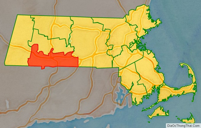
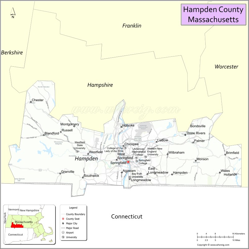
Hampden County is a non-governmental county located in the Pioneer Valley of the state of Massachusetts, in the United States. As of the 2020 census, Hampden County’s population was 465,825. Its traditional county seat is Springfield, the Connecticut River Valley’s largest city, and economic and cultural capital; with an estimated population of 154,758, approximately 1 in 3 residents of Hampden County live in Springfield. Hampden County was split from Hampshire County in 1812, because Northampton, Massachusetts, was made Hampshire County’s “shire town” in 1794; however, Springfield—theretofore Hampshire County’s traditional shire town, dating back to its founding in 1636—grew at a pace far quicker than Northampton and was granted shire town-status over its own, southerly jurisdiction. It was named for parliamentarian John Hampden. To the north of Hampden County is modern-day Hampshire County; to the west is Berkshire County; to the east is Worcester County; to the south are Litchfield County, Hartford County, and Tolland County in Connecticut. Hampden County is part of the Springfield, MA Metropolitan Statistical Area. It is the most urban county in Western Massachusetts. The Knowledge Corridor surrounding Springfield-Hartford is New England’s second most populous urban area (after Greater Boston) with 1.9 million people.
| Name: | Hampden County |
|---|---|
| FIPS code: | 25-013 |
| State: | Massachusetts |
| Founded: | 1812 |
| Named for: | John Hampden |
| Seat: | Springfield |
| Largest city: | Springfield |
| Total Area: | 634 sq mi (1,640 km²) |
| Land Area: | 617 sq mi (1,600 km²) |
| Total Population: | 465,825 |
| Population Density: | 755/sq mi (292/km²) |
| Time zone: | UTC−5 (Eastern) |
| Summer Time Zone (DST): | UTC−4 (EDT) |
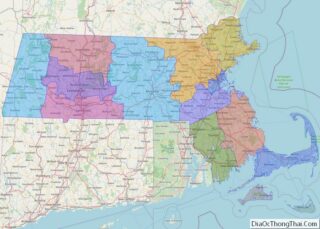
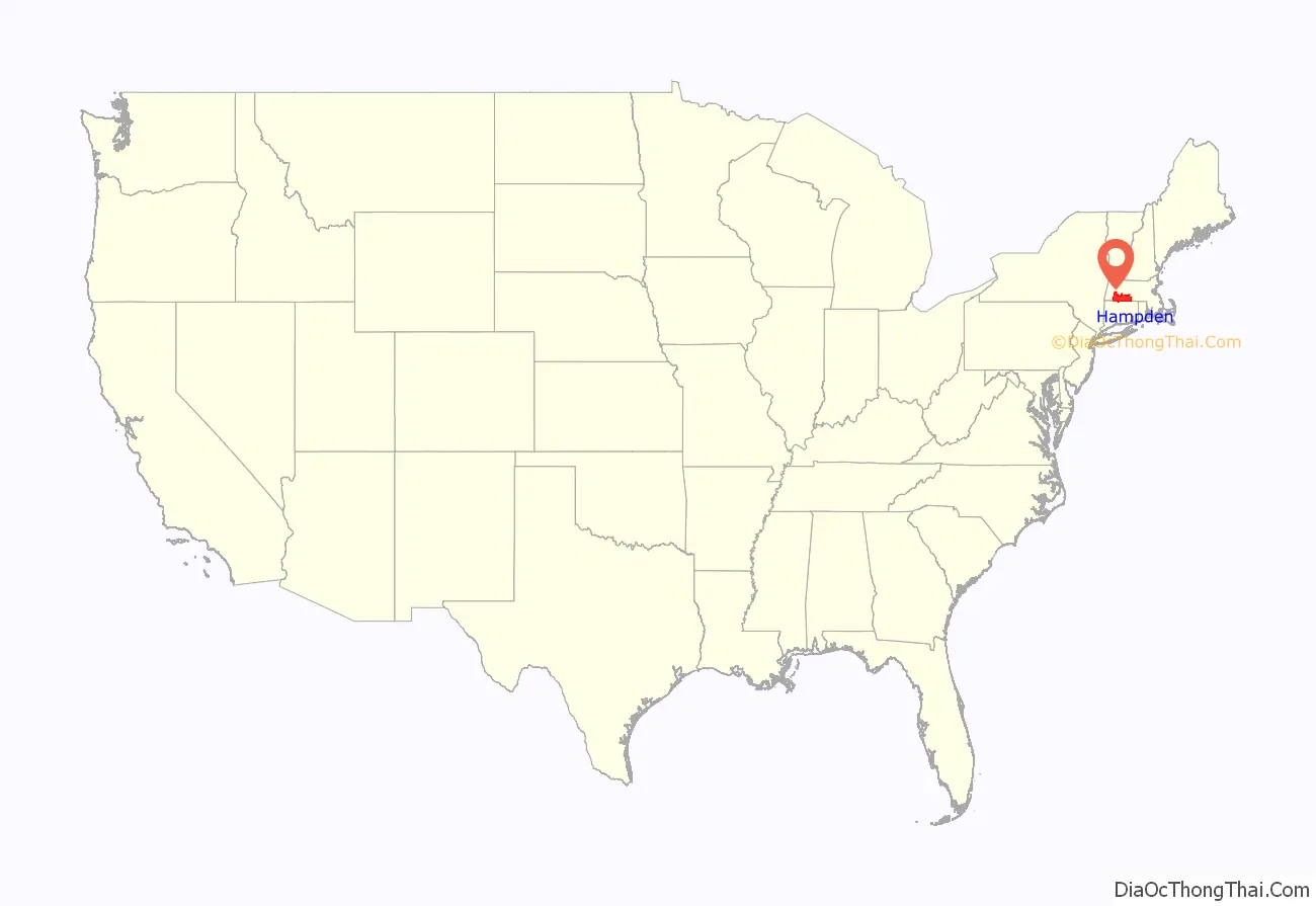
Hampden County location map. Where is Hampden County?
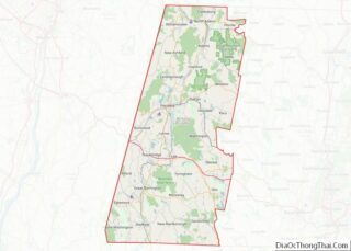
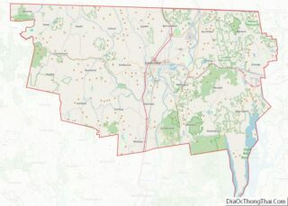
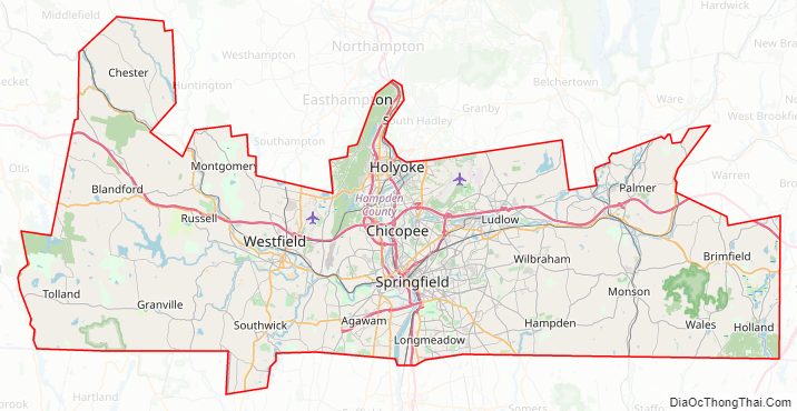
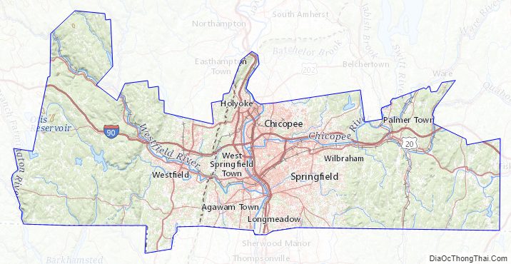
Hampden County Road Map
Geography
According to the U.S. Census Bureau, the county has a total area of 634 square miles (1,640 km), of which 617 square miles (1,600 km) is land and 17 square miles (44 km) (2.7%) is water.
Adjacent counties
- Hampshire County (north)
- Worcester County (east)
- Tolland County, Connecticut (southeast)
- Hartford County, Connecticut (south)
- Litchfield County, Connecticut (southwest)
- Berkshire County (west)
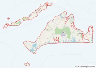
Communities
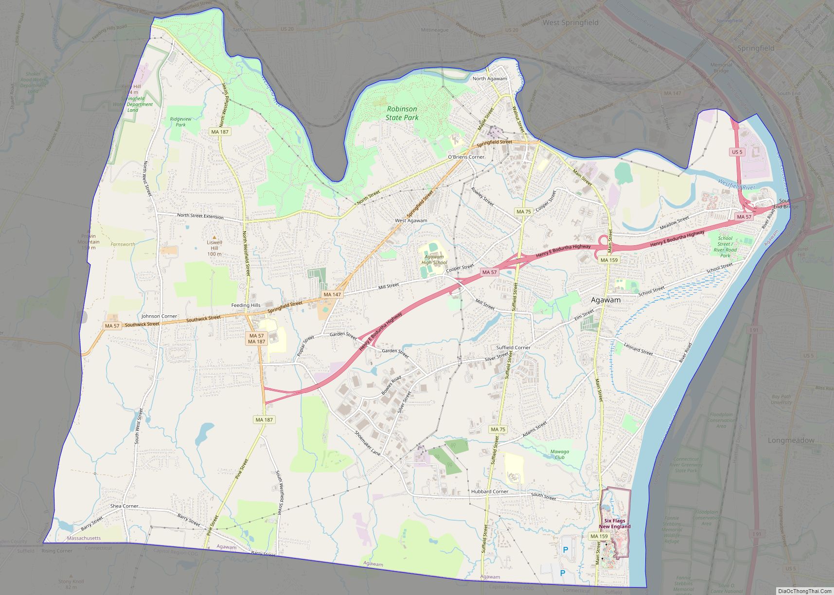
- Agawam
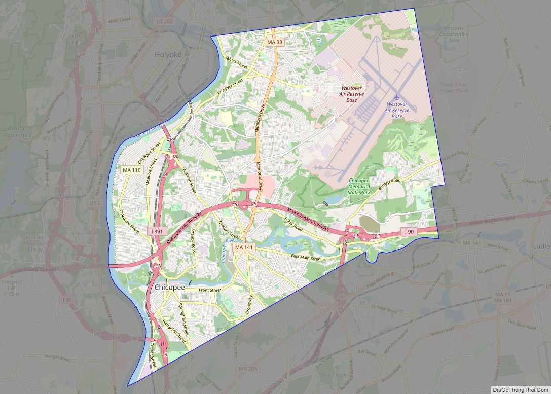
- Chicopee
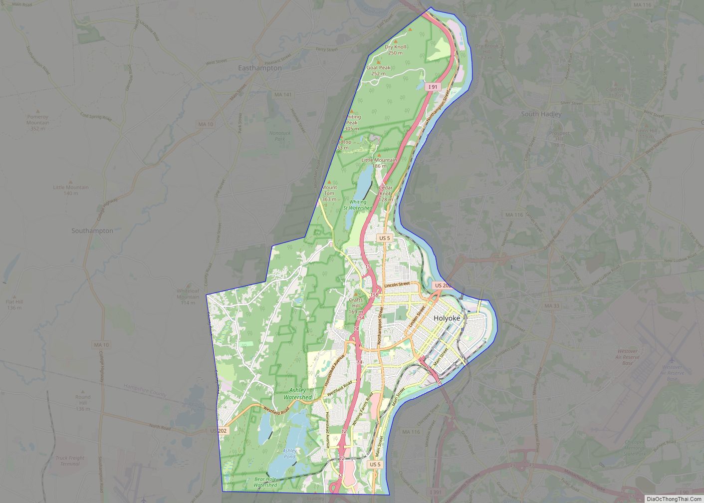
- Holyoke
- Palmer
- Springfield (traditional county seat)
- West Springfield
- Westfield
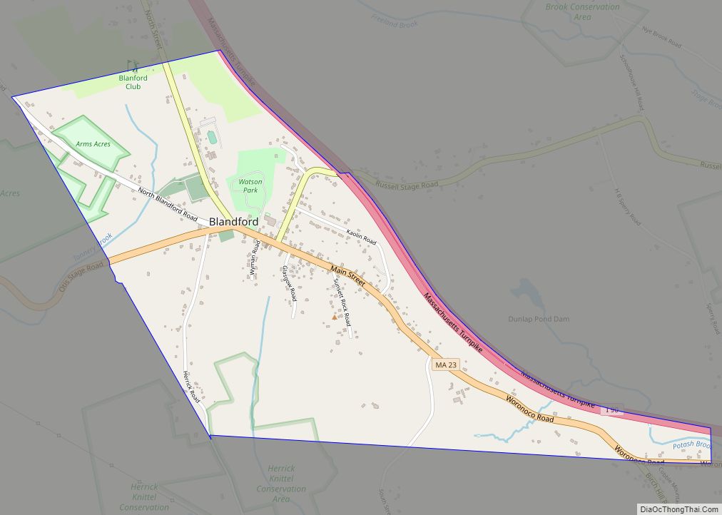
- Blandford
- Brimfield
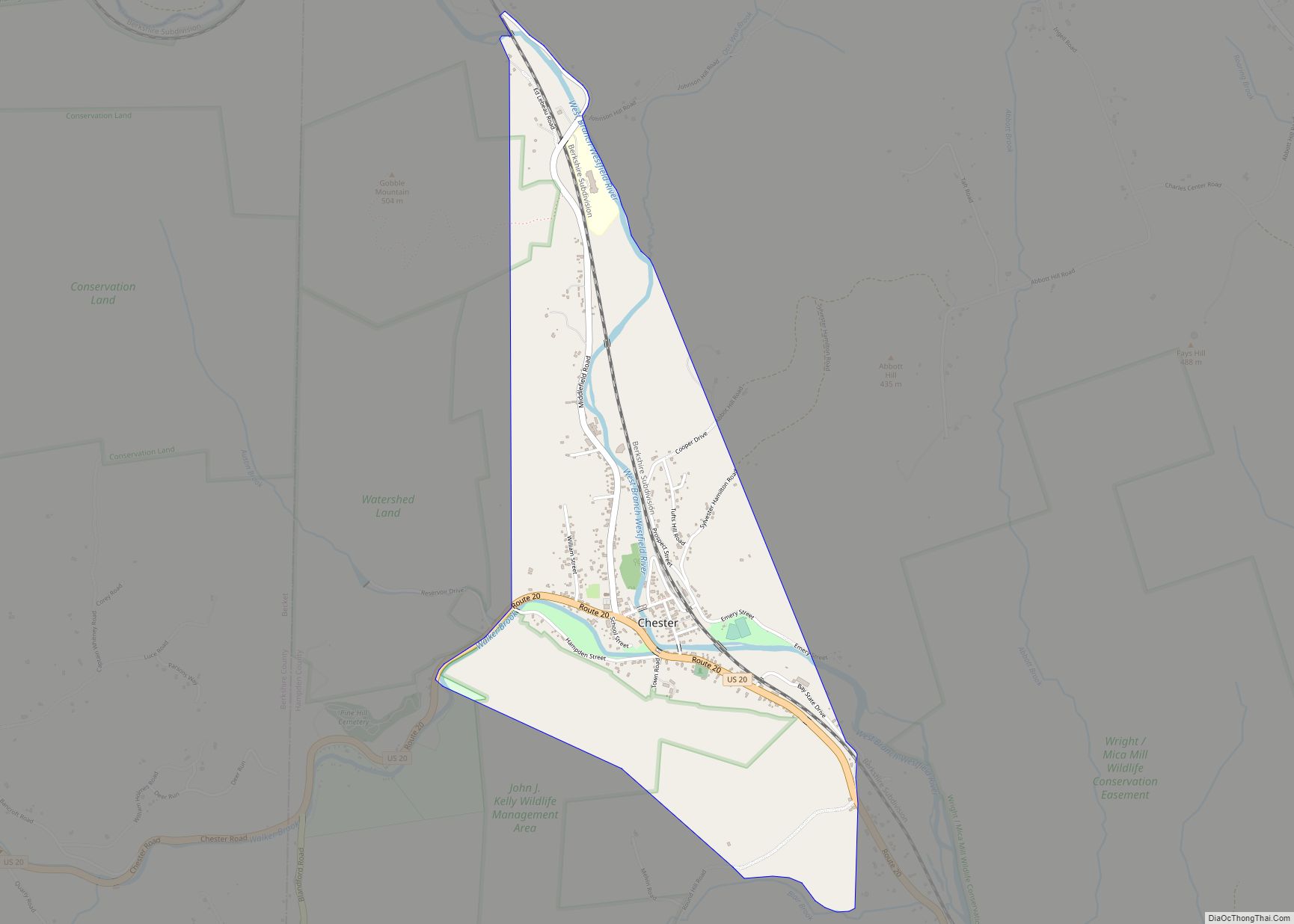
- Chester
- East Longmeadow
- Granville
- Hampden
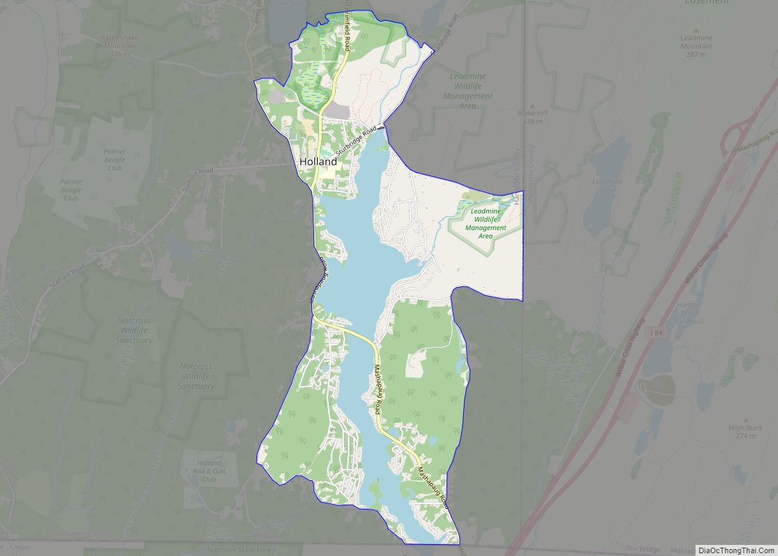
- Holland
- Longmeadow
- Ludlow
- Monson
- Montgomery
- Russell
- Southwick
- Tolland
- Wales
- Wilbraham
- Bondsville
- Depot Village
- Feeding Hills
- Three Rivers
- Woronoco
The following are neighborhoods located in Springfield or West Springfield.
- Bay
- Boston Road
- Brightwood
- East Forest Park
- East Springfield
- Forest Park
- Indian Orchard
- Liberty Heights
- McKnight
- Memorial Square
- Merrick
- Metro Center
- Old Hill
- Pine Point
- Six Corners and Maple Heights
- Sixteen Acres
- South End
- Upper Hill
The following are neighborhoods located in Chicopee.
- Aldenville
- Burnett Road
- Chicopee Center (Cabotville)
- Chicopee Falls
- Fairview
- Smith Highlands
- Westover
- Willimansett
The following are neighborhoods located in Holyoke.
- Churchill
- Downtown
- Elmwood
- The Flats
- Highlands
- Highland Park
- Homestead Avenue
- Ingleside
- Jarvis Avenue
- Oakdale
- Rock Valley
- Smith’s Ferry
- South Holyoke
- Springdale
- Whiting Farms
National Parks
- Springfield Armory National Historic Site
State parks
- Brimfield State Forest
- Chester-Blandford State Forest
- Chicopee Memorial State Park
- Connecticut River Greenway State Park
- Hampton Ponds State Park
- Holyoke Heritage State Park
- Lake Lorraine State Park (CLOSED)
- Mount Tom State Reservation
- Tolland State Forest
Hampden County Topographic Map
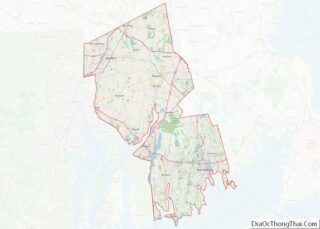
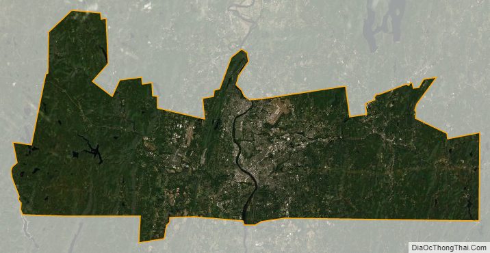
Hampden County Satellite Map
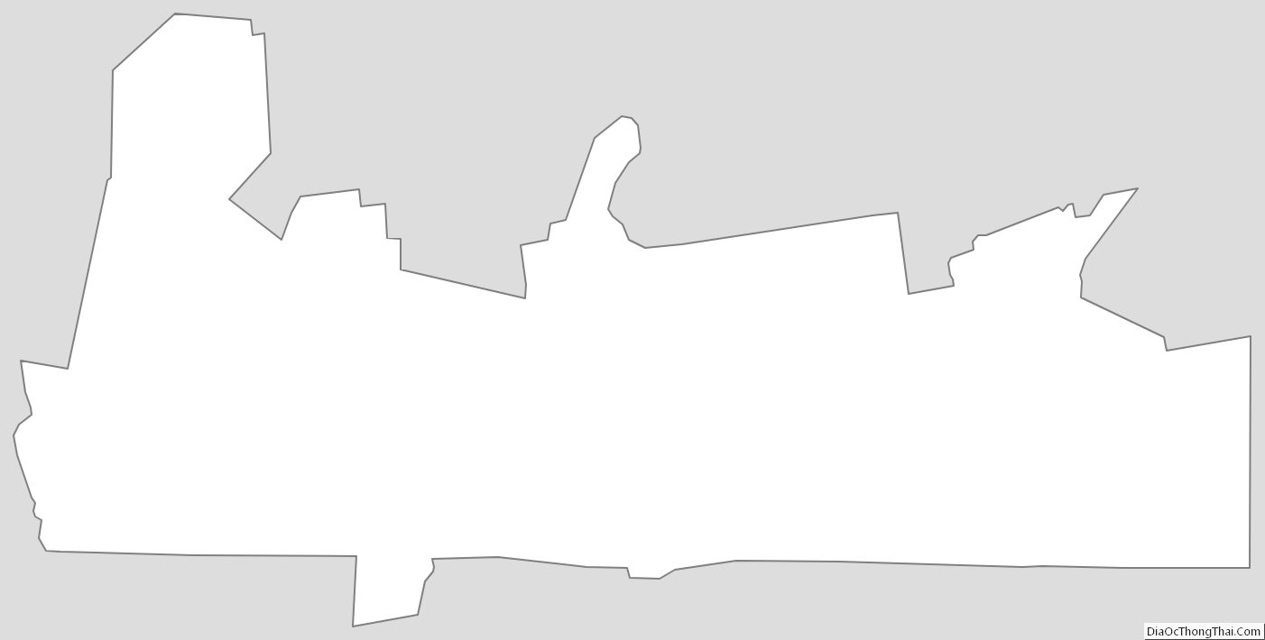
Hampden County Outline Map