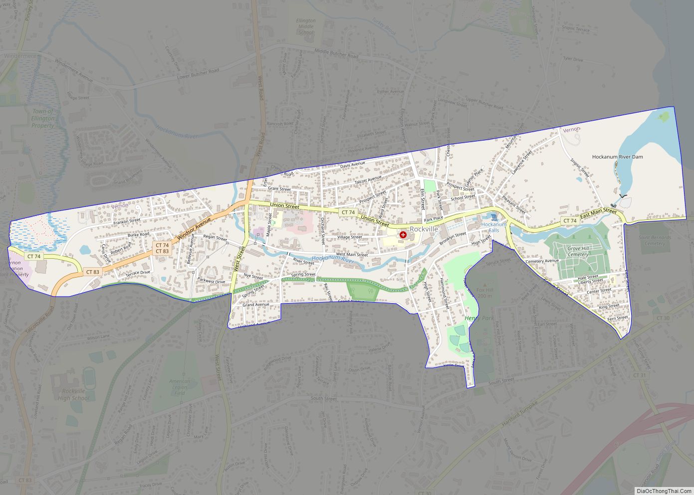
Rockville is a census-designated place and a village of the town of Vernon in Tolland County, Connecticut, United States. The population was 7,474 at the 2010 census. Incorporated as a city in 1889, it has been consolidated with the town of Vernon since 1965.
| Name: | Rockville CDP |
|---|---|
| LSAD Code: | 57 |
| LSAD Description: | CDP (suffix) |
| State: | Connecticut |
| County: | Tolland County |
| Elevation: | 367 ft (112 m) |
| Total Area: | 1.8 sq mi (5 km²) |
| Land Area: | 1.76 sq mi (4.6 km²) |
| Water Area: | 0.04 sq mi (0.1 km²) |
| Total Population: | 7,474 |
| Population Density: | 1,947.9/sq mi (752.1/km²) |
| Area code: | 860 |
| FIPS code: | 0965230 |
| GNISfeature ID: | 2377857 |
| Website: | rockvillect.org |
Online Interactive Map
Click on ![]() to view map in "full screen" mode.
to view map in "full screen" mode.
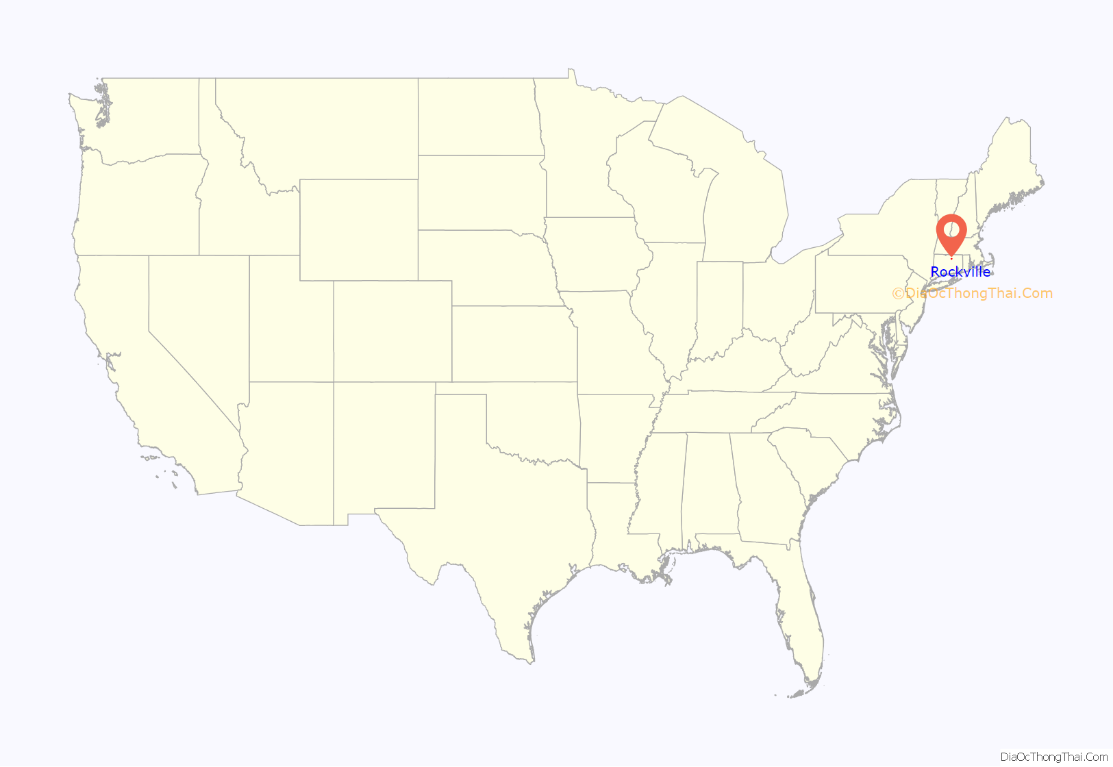
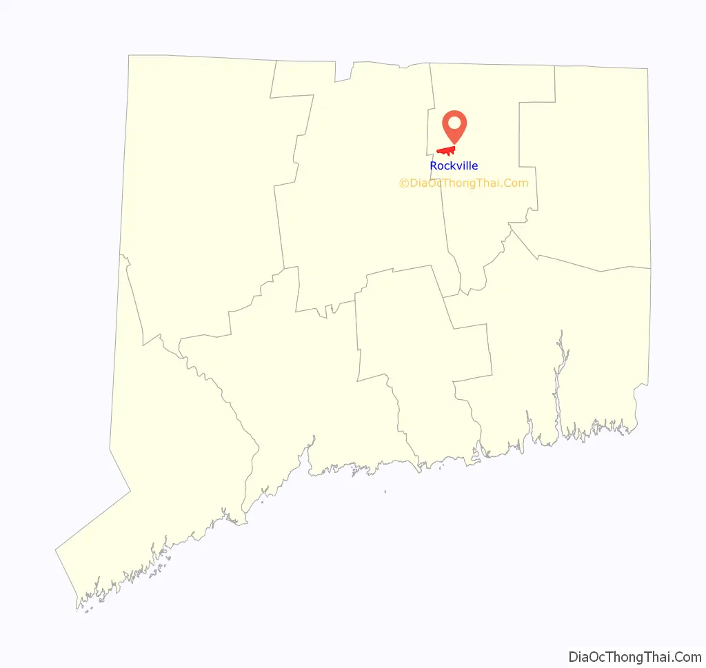
Rockville location map. Where is Rockville CDP?
History
Early settlement
In 1726, Samuel Grant traded his farm in Bolton for 500 acres (2.0 km) in the northern part of Bolton. This included the area which is now known as “Rockville” and for about the next century it was a nameless village. A prominent feature of the area is the Shenipsit Lake, or “The Snip” as it is currently affectionately called by the residents. The Snip feeds the Hockanum River which cascades 254 feet over 1.5 miles (2.4 km). The river was used by the farmers for a grist mill, a saw mill, an oil mill and even a distillery starting c. 1740.
Rock Mill
In 1821, Colonel Francis McLean built the first textile mill in what is now Rockville in partnership with George and Allyn Kellogg and Ralph Talcott, next to a spot known as “the Rock” with capital of $16,000. Francis McLean had partnered previously with some others in the Warburton Mill in Talcottville. “The Rock” was a natural dam of solid stone that made a high falls on the Hockanum River. In what is now the center of Rockville, he dammed up the Hockanum River and built a water-powered mill known as the “Rock Mill”, which was possibly also known as the McLean Woolen Factory. By 1823 his mill was in full operation. The new mill was 80 by 30 feet, and its product was blue and blue-mix satinet. In 1826 power looms were introduced.
The mill attracted people to this area and by 1836 the population grew to 440 consisting of 61 families including 89 children under the age of 10.
Name
Mail service was brought once a day by stagecoach from Vernon Center, which was the post office and place for voting for the town. In 1837, according to old records, “an amateurish notice was posted on the Rock Mill announcing a public meeting in the lecture room of the village to decide in a democratic way the most suitable name for the vicinity”. In order to have their own post office the town needed a permanent name.
- The following were some of the recommendations for naming the town.
- Frankfort – in honor of Francis Mclean builder of the “Rock Mill”
- Vernon Falls
- Grantville – in honor of Samuel Grant the first settler
- Hillborough – because the terrain is so hilly
Simon Chapman, who ran a boarding house for mill workers, submitted the name “Rockville” as common expression understood by the surrounding areas was “Going to the Rock”. Thus, Rockvillle became the official name. It was not until 1842, however, that Rockville actually acquired its own post office.
Rockville Road Map
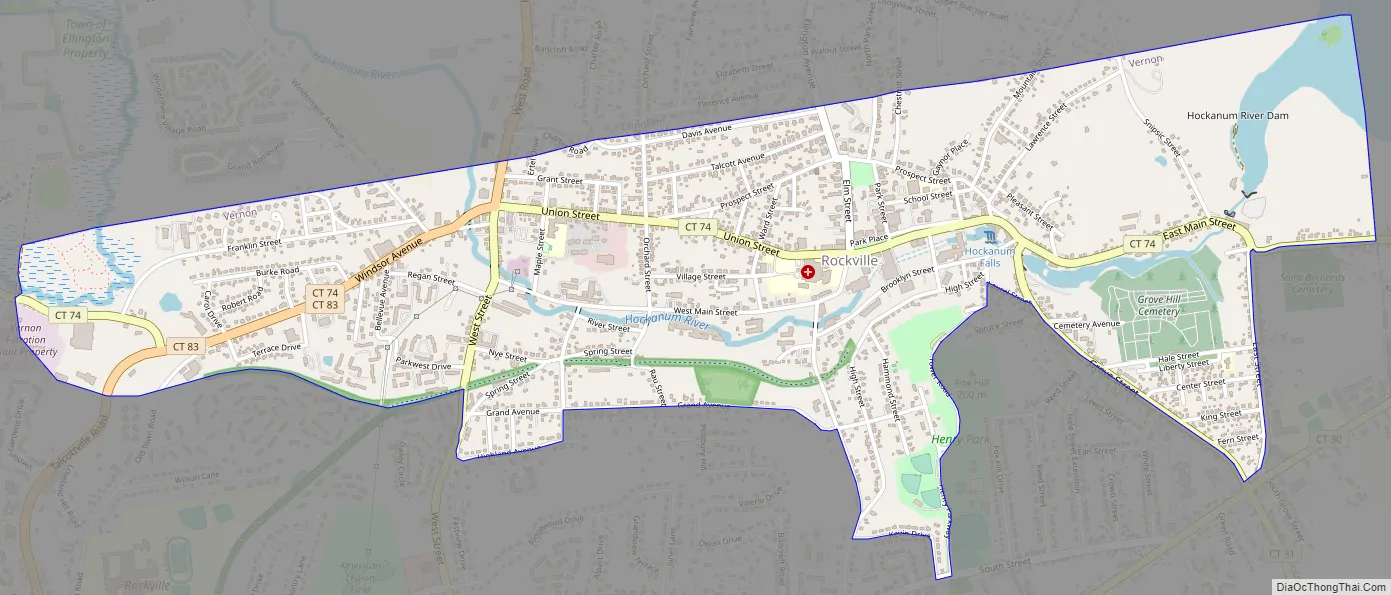
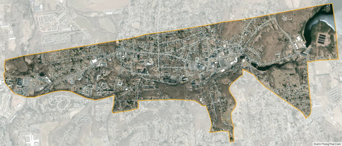
Rockville city Satellite Map
Geography
According to the United States Census Bureau, the CDP has a total area of 1.8 square miles (4.7 km), of which 1.7 square miles (4.4 km) is land and 0.04 square miles (0.10 km) (1.70%) is water.
See also
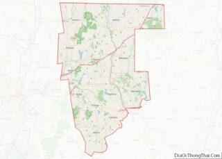
Map of Connecticut State and its subdivision: Map of other states:- Alabama
- Alaska
- Arizona
- Arkansas
- California
- Colorado
- Connecticut
- Delaware
- District of Columbia
- Florida
- Georgia
- Hawaii
- Idaho
- Illinois
- Indiana
- Iowa
- Kansas
- Kentucky
- Louisiana
- Maine
- Maryland
- Massachusetts
- Michigan
- Minnesota
- Mississippi
- Missouri
- Montana
- Nebraska
- Nevada
- New Hampshire
- New Jersey
- New Mexico
- New York
- North Carolina
- North Dakota
- Ohio
- Oklahoma
- Oregon
- Pennsylvania
- Rhode Island
- South Carolina
- South Dakota
- Tennessee
- Texas
- Utah
- Vermont
- Virginia
- Washington
- West Virginia
- Wisconsin
- Wyoming