Shelby is a city in and the county seat of Toole County, Montana, United States. The population was 3,169 at the 2020 census.
| Name: | Shelby city |
|---|---|
| LSAD Code: | 25 |
| LSAD Description: | city (suffix) |
| State: | Montana |
| County: | Toole County |
| Elevation: | 3,297 ft (1,005 m) |
| Total Area: | 5.96 sq mi (15.43 km²) |
| Land Area: | 5.78 sq mi (14.97 km²) |
| Water Area: | 0.17 sq mi (0.45 km²) |
| Total Population: | 3,169 |
| Population Density: | 548.08/sq mi (211.63/km²) |
| ZIP code: | 59474 |
| Area code: | 406 |
| FIPS code: | 3067450 |
| GNISfeature ID: | 0776465 |
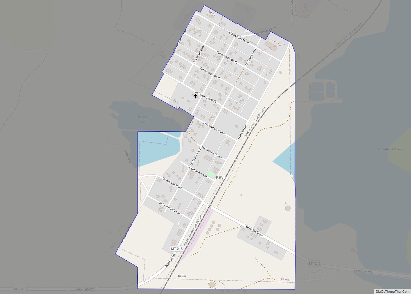
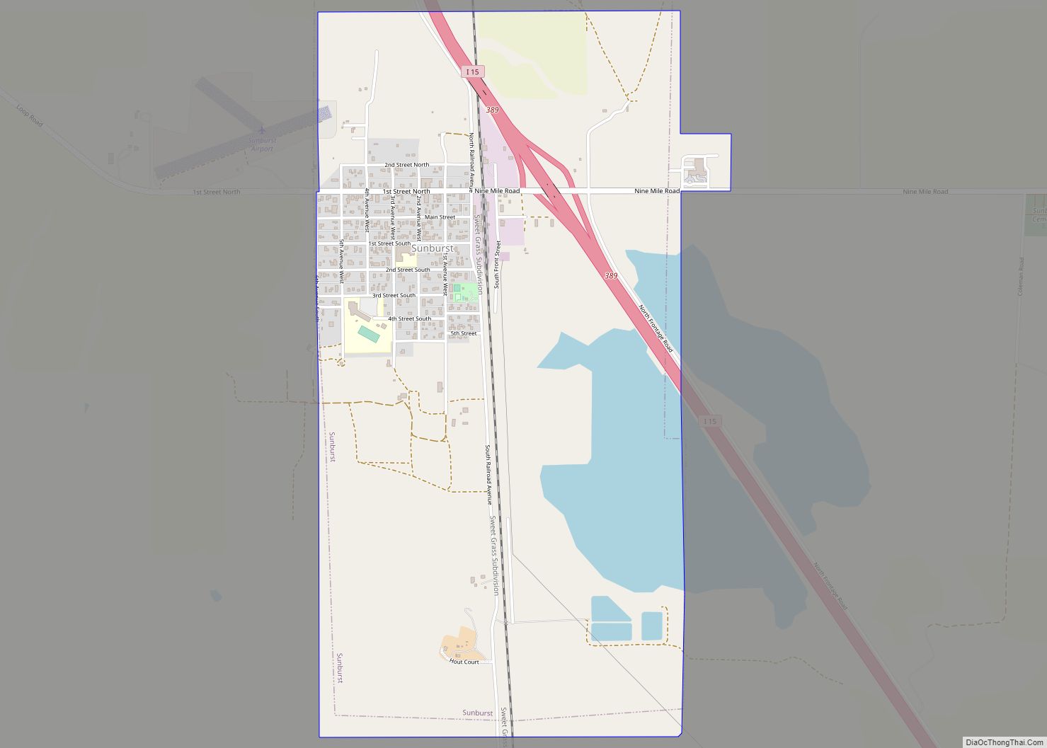
Online Interactive Map
Click on ![]() to view map in "full screen" mode.
to view map in "full screen" mode.
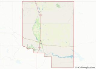
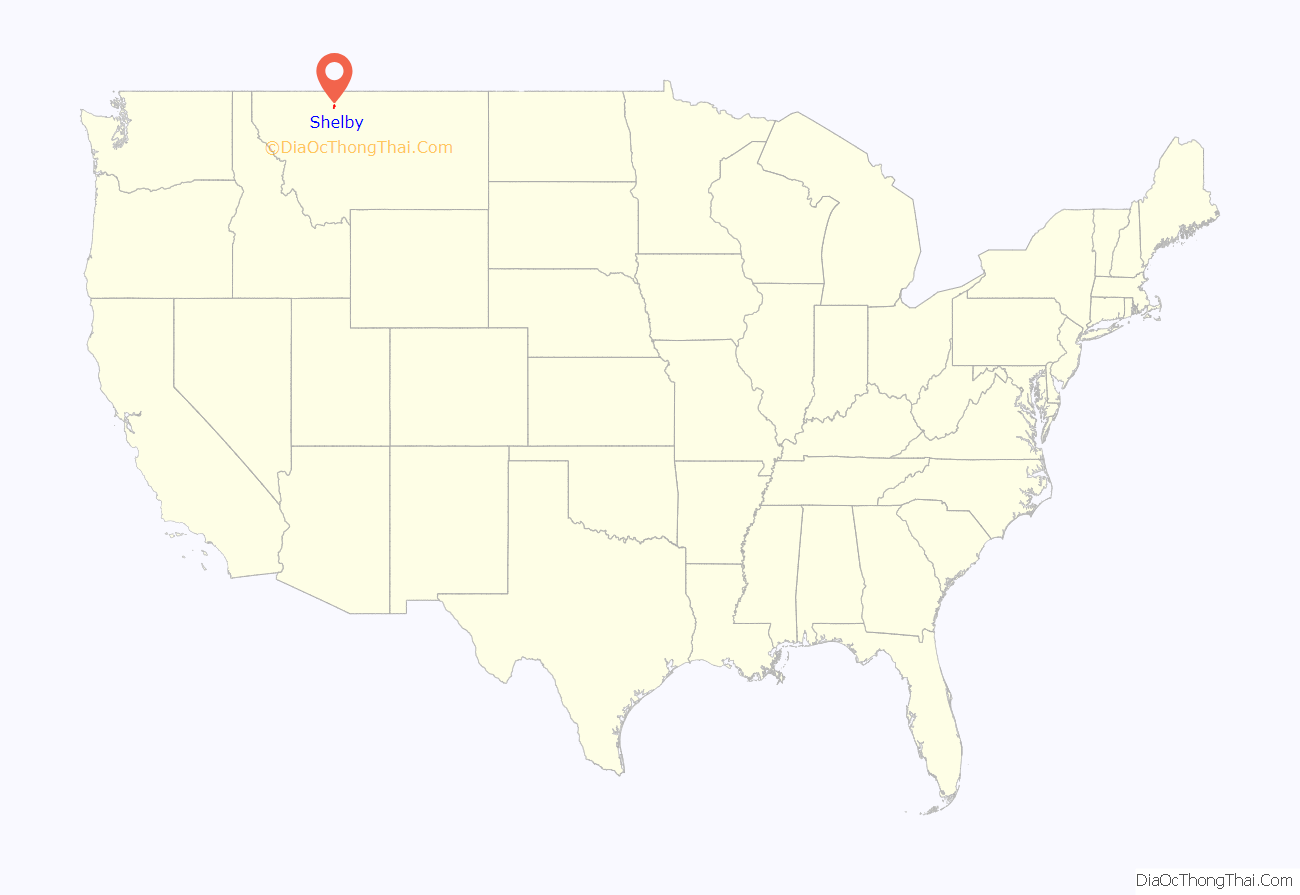
Shelby location map. Where is Shelby city?

History
Shelby was named in honor of Peter O. Shelby, General Manager of the Montana Central Railway. A railroad station was established here about 1892, at the junction of the Great Northern Railway and the Great Falls & Canada Railway.
On July 4, 1923, the town hosted a heavyweight boxing match between Jack Dempsey and Tommy Gibbons for the undisputed world Heavyweight boxing championship title. This event almost bankrupted the town of Shelby.
In the early 2000s the town hosted a dog camp named Camp Collie to help mistreated dogs that made national news.
Welker Farms, an agricultural operation known for its popular social media channels, is located near Shelby, Montana.
The Well Done Foundation, which plugs orphaned and abandoned oil wells, opened a visitors’ center in Shelby in 2020.
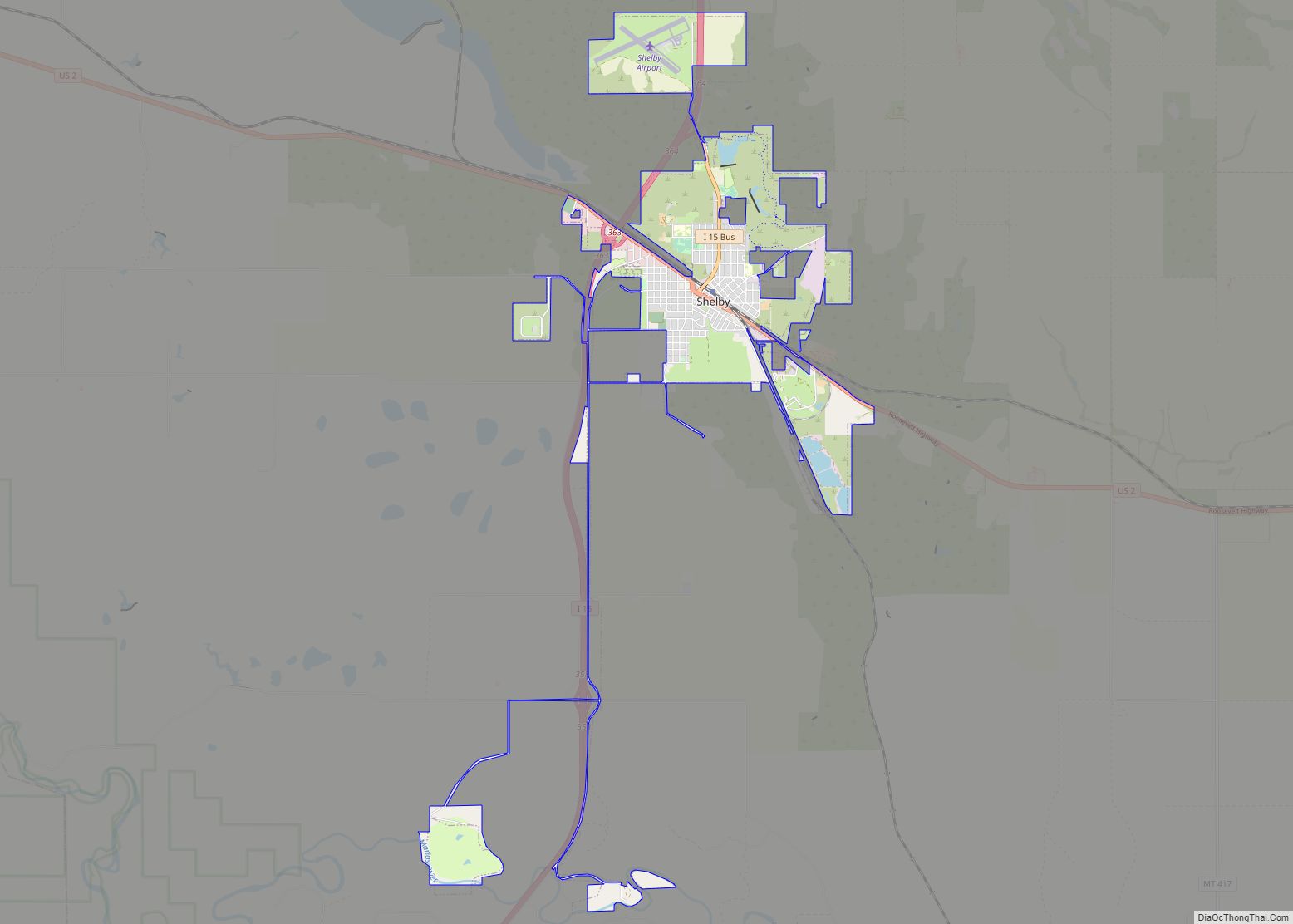
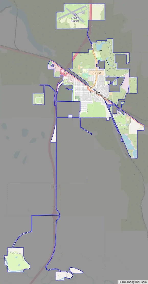
Shelby Road Map
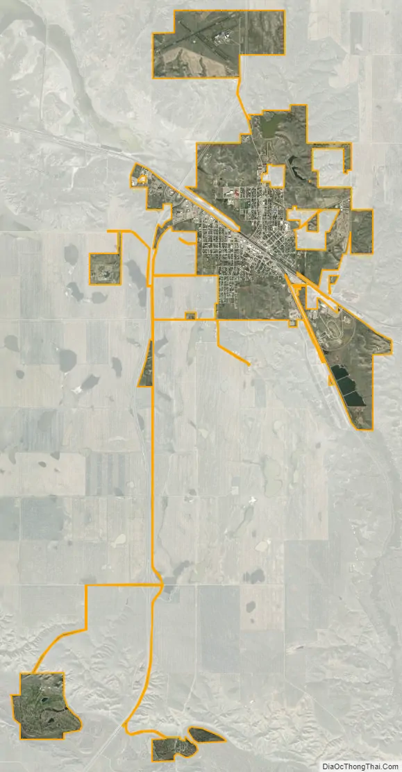
Shelby city Satellite Map
Geography
Shelby is located at 48°30′26″N 111°51′37″W / 48.50722°N 111.86028°W / 48.50722; -111.86028 (48.507270, -111.860218). It is at the intersection of Interstate 15 and U.S. Route 2. It is near the Marias River and also Aloe Lake.
According to the United States Census Bureau, the city has a total area of 6.18 square miles (16.01 km), of which 6.03 square miles (15.62 km) is land and 0.15 square miles (0.39 km) is water.
Climate
Shelby has four distinct seasons, and is considered an arid climate. Long, severe winters give way to springlike weather anywhere from March to May. Summers can be dry and hot, and the area is prone to lightning, hail, and severe thunderstorms during the summer months. Fall weather is often unpredictable, with snow falling during October some years, and temperatures well into the 60s °F (10s °C) stretching until the end of November on other years. Due to the city’s location just off of the Rocky Mountain Front, wind is a constant.
Climate data is sparse. A weather station operated in the town from the late 1990s shows slightly higher temperatures than nearby towns such as Cut Bank.
See also
Map of Montana State and its subdivision:- Beaverhead
- Big Horn
- Blaine
- Broadwater
- Carbon
- Carter
- Cascade
- Chouteau
- Custer
- Daniels
- Dawson
- Deer Lodge
- Fallon
- Fergus
- Flathead
- Gallatin
- Garfield
- Glacier
- Golden Valley
- Granite
- Hill
- Jefferson
- Judith Basin
- Lake
- Lewis and Clark
- Liberty
- Lincoln
- Madison
- McCone
- Meagher
- Mineral
- Missoula
- Musselshell
- Park
- Petroleum
- Phillips
- Pondera
- Powder River
- Powell
- Prairie
- Ravalli
- Richland
- Roosevelt
- Rosebud
- Sanders
- Sheridan
- Silver Bow
- Stillwater
- Sweet Grass
- Teton
- Toole
- Treasure
- Valley
- Wheatland
- Wibaux
- Yellowstone
- Alabama
- Alaska
- Arizona
- Arkansas
- California
- Colorado
- Connecticut
- Delaware
- District of Columbia
- Florida
- Georgia
- Hawaii
- Idaho
- Illinois
- Indiana
- Iowa
- Kansas
- Kentucky
- Louisiana
- Maine
- Maryland
- Massachusetts
- Michigan
- Minnesota
- Mississippi
- Missouri
- Montana
- Nebraska
- Nevada
- New Hampshire
- New Jersey
- New Mexico
- New York
- North Carolina
- North Dakota
- Ohio
- Oklahoma
- Oregon
- Pennsylvania
- Rhode Island
- South Carolina
- South Dakota
- Tennessee
- Texas
- Utah
- Vermont
- Virginia
- Washington
- West Virginia
- Wisconsin
- Wyoming