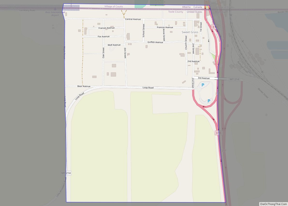
Sweet Grass (also Sweetgrass) is a census-designated place and unincorporated community in Toole County, Montana, United States, on the Canada–US border. It is the northern terminus of Interstate 15, an important route connecting western Canada, the western United States, and Mexico. The population was 65 according to the 2020 census.
In 2004, a joint border facility opened at the Sweetgrass port of entry and Coutts, Alberta, housing both Canadian and American federal authorities. At 3,540 feet (1,080 m) in elevation, it is one of the higher border crossings.
Fire service is provided through the volunteer fire department in Coutts.
| Name: | Sweet Grass CDP |
|---|---|
| LSAD Code: | 57 |
| LSAD Description: | CDP (suffix) |
| State: | Montana |
| County: | Toole County |
| Total Area: | 0.48 sq mi (1.25 km²) |
| Land Area: | 0.48 sq mi (1.25 km²) |
| Water Area: | 0.00 sq mi (0.00 km²) |
| Total Population: | 65 |
| Population Density: | 134.58/sq mi (51.94/km²) |
| FIPS code: | 3073075 |
| GNISfeature ID: | 777367 |
Online Interactive Map
Click on ![]() to view map in "full screen" mode.
to view map in "full screen" mode.
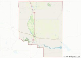
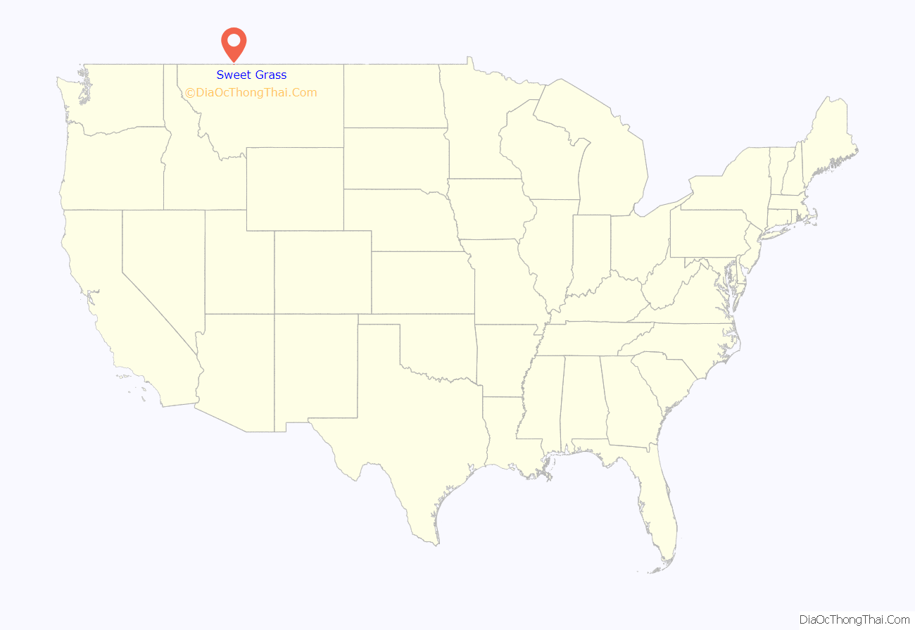
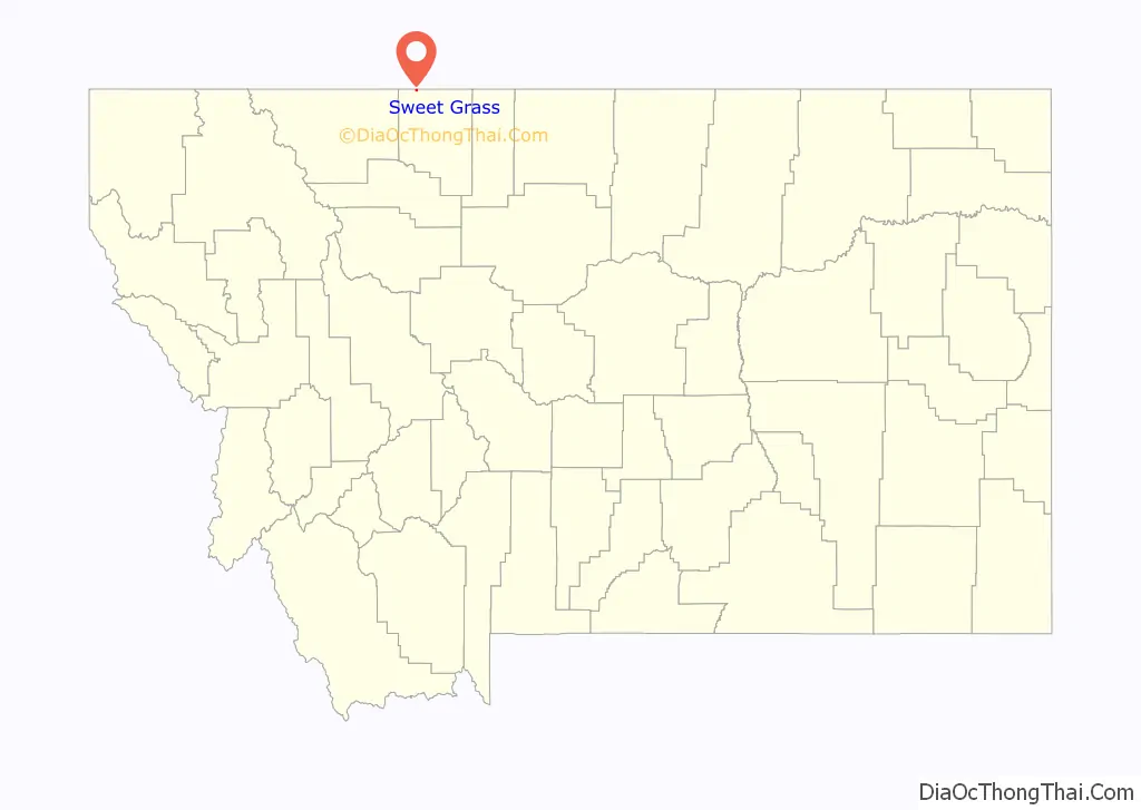
Sweet Grass location map. Where is Sweet Grass CDP?
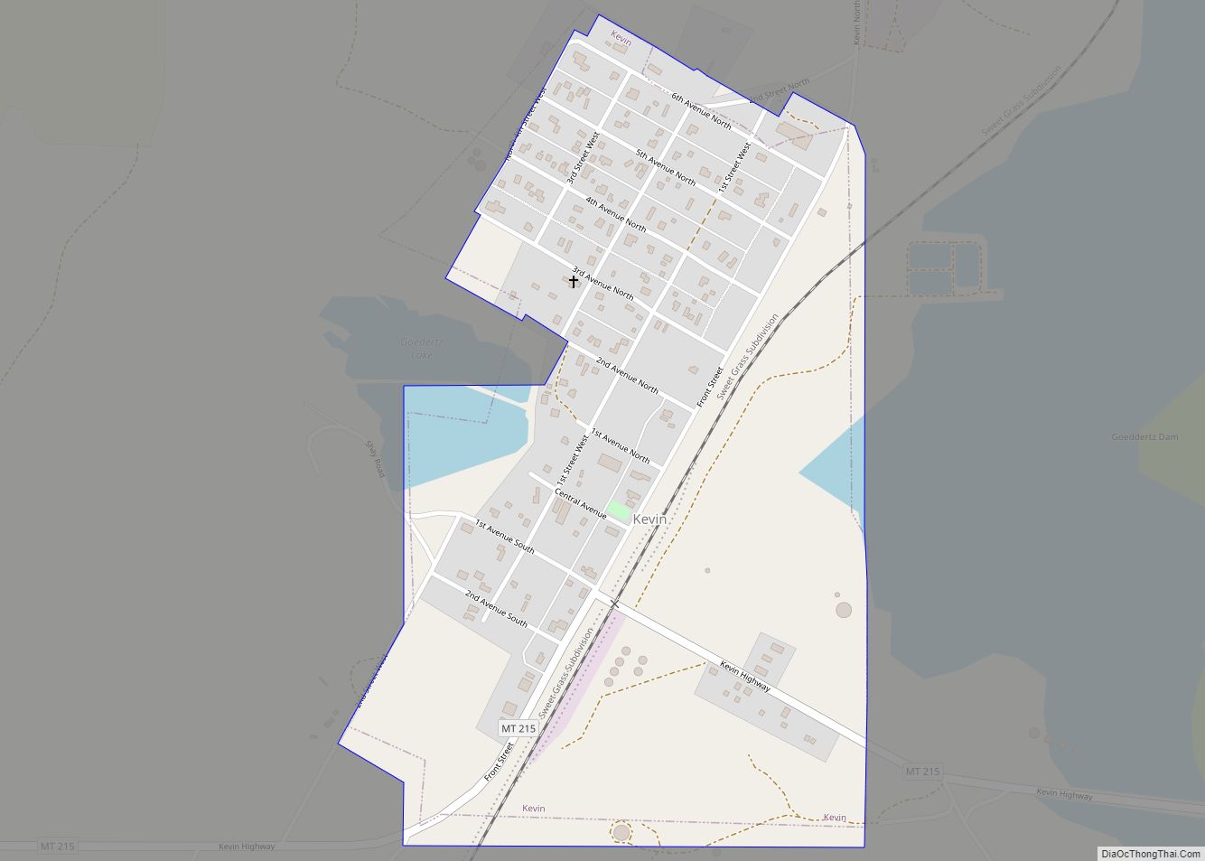
Sweet Grass Road Map
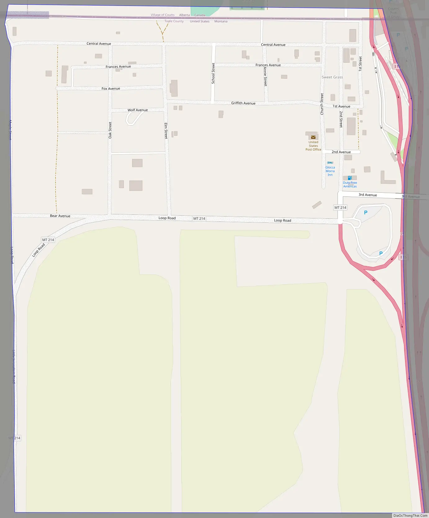
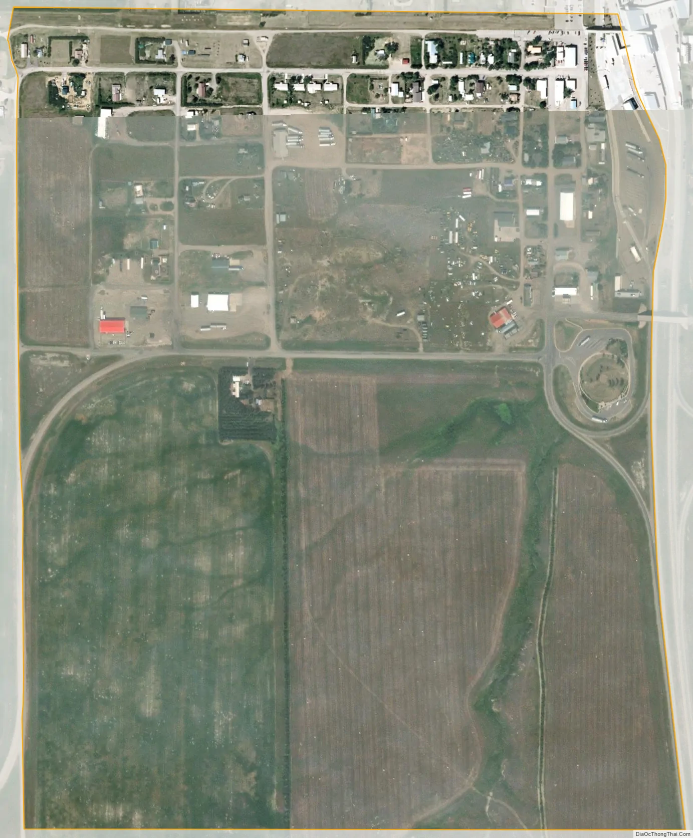
Sweet Grass city Satellite Map
See also
Map of Montana State and its subdivision:- Beaverhead
- Big Horn
- Blaine
- Broadwater
- Carbon
- Carter
- Cascade
- Chouteau
- Custer
- Daniels
- Dawson
- Deer Lodge
- Fallon
- Fergus
- Flathead
- Gallatin
- Garfield
- Glacier
- Golden Valley
- Granite
- Hill
- Jefferson
- Judith Basin
- Lake
- Lewis and Clark
- Liberty
- Lincoln
- Madison
- McCone
- Meagher
- Mineral
- Missoula
- Musselshell
- Park
- Petroleum
- Phillips
- Pondera
- Powder River
- Powell
- Prairie
- Ravalli
- Richland
- Roosevelt
- Rosebud
- Sanders
- Sheridan
- Silver Bow
- Stillwater
- Sweet Grass
- Teton
- Toole
- Treasure
- Valley
- Wheatland
- Wibaux
- Yellowstone
- Alabama
- Alaska
- Arizona
- Arkansas
- California
- Colorado
- Connecticut
- Delaware
- District of Columbia
- Florida
- Georgia
- Hawaii
- Idaho
- Illinois
- Indiana
- Iowa
- Kansas
- Kentucky
- Louisiana
- Maine
- Maryland
- Massachusetts
- Michigan
- Minnesota
- Mississippi
- Missouri
- Montana
- Nebraska
- Nevada
- New Hampshire
- New Jersey
- New Mexico
- New York
- North Carolina
- North Dakota
- Ohio
- Oklahoma
- Oregon
- Pennsylvania
- Rhode Island
- South Carolina
- South Dakota
- Tennessee
- Texas
- Utah
- Vermont
- Virginia
- Washington
- West Virginia
- Wisconsin
- Wyoming