Arcadia is a city in Trempealeau County, Wisconsin, United States, along the Trempealeau River. The population was 3,737 at the 2020 census. Arcadia is a Latino-majority city and the largest city in Trempealeau county.
| Name: | Arcadia city |
|---|---|
| LSAD Code: | 25 |
| LSAD Description: | city (suffix) |
| State: | Wisconsin |
| County: | Trempealeau County |
| Total Area: | 3.27 sq mi (8.47 km²) |
| Land Area: | 3.27 sq mi (8.47 km²) |
| Water Area: | 0.00 sq mi (0.00 km²) |
| Total Population: | 3,737 |
| Population Density: | 1,142.5/sq mi (441.1/km²) |
| ZIP code: | 54612 |
| Area code: | 608 |
| FIPS code: | 5502500 |
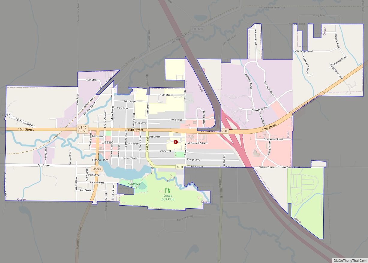
Online Interactive Map
Click on ![]() to view map in "full screen" mode.
to view map in "full screen" mode.
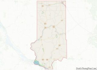
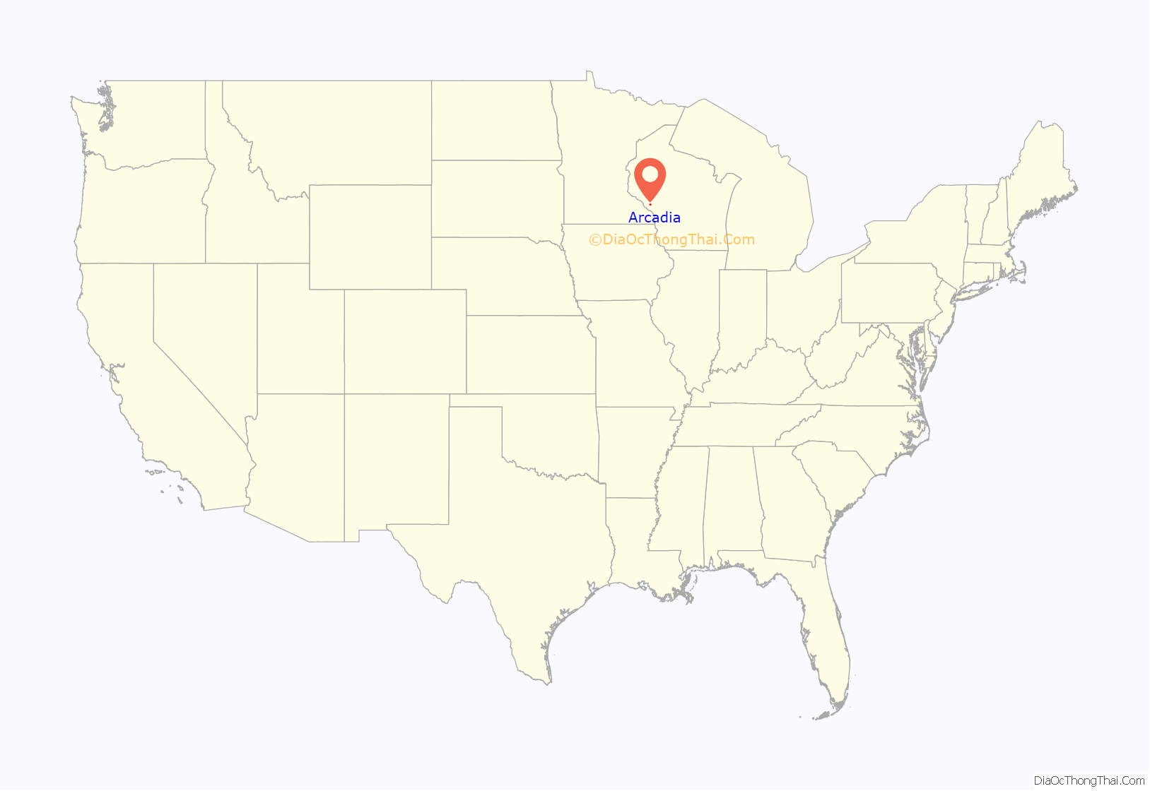
Arcadia location map. Where is Arcadia city?
History
Arcadia was founded in 1855 on a hill overlooking the Trempealeau River Valley. However, when the Green Bay and Western Railroad built a line in the river valley, the city developed along the line. In 1858, David Massuere began work on a flour mill that was then finished in 1860. In 1900, the city built a Grist Mill For Michael Stelmach and John Kamla. In 1903 Korpal Valley School was moved to the Mill. Around the early 2010s the school building collapsed and was removed, yet the Mill still stands.
Arcadia’s growth in the first decades of the 21st century has been fueled by the arrival of Hispanic and Latino immigrants. The immigrant population was targeted in a U.S. Immigration and Customs Enforcement raid in 2018. As of 2021, the city was home to about twenty Latino-owned small businesses.
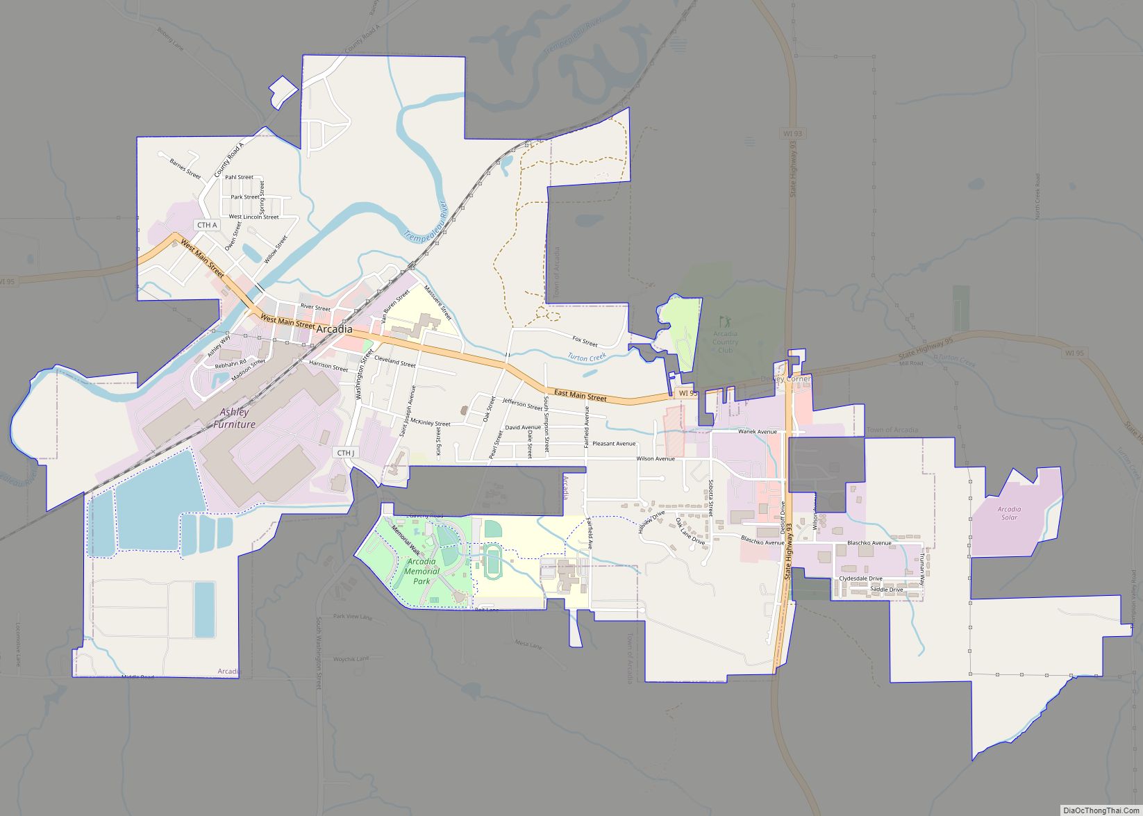
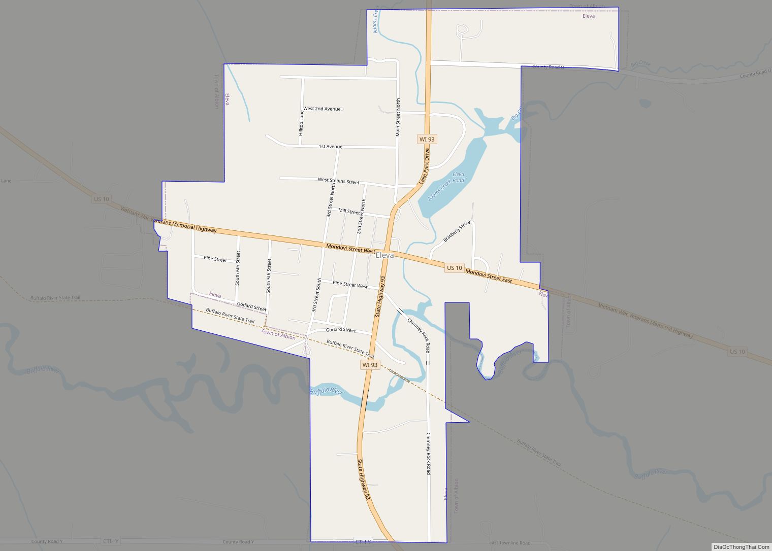
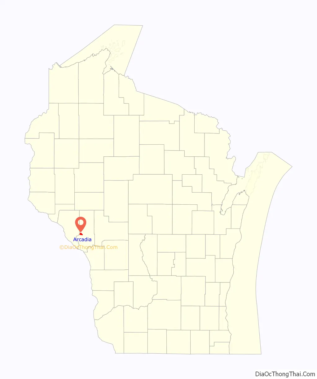
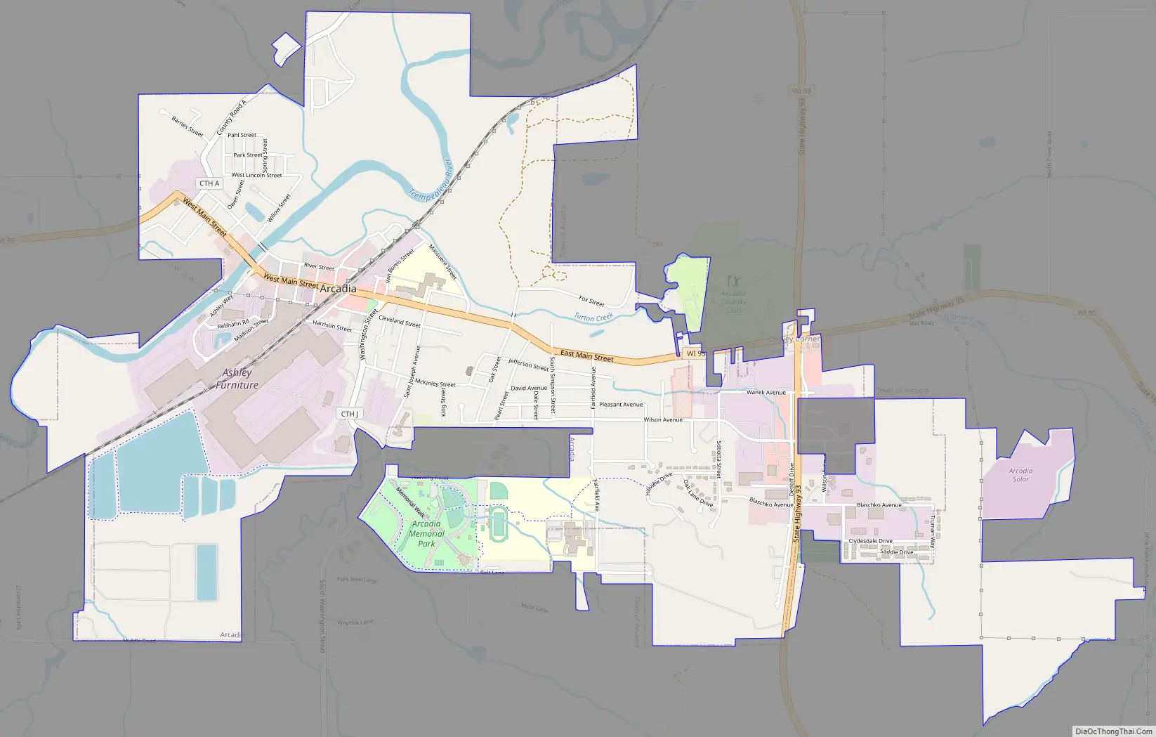
Arcadia Road Map
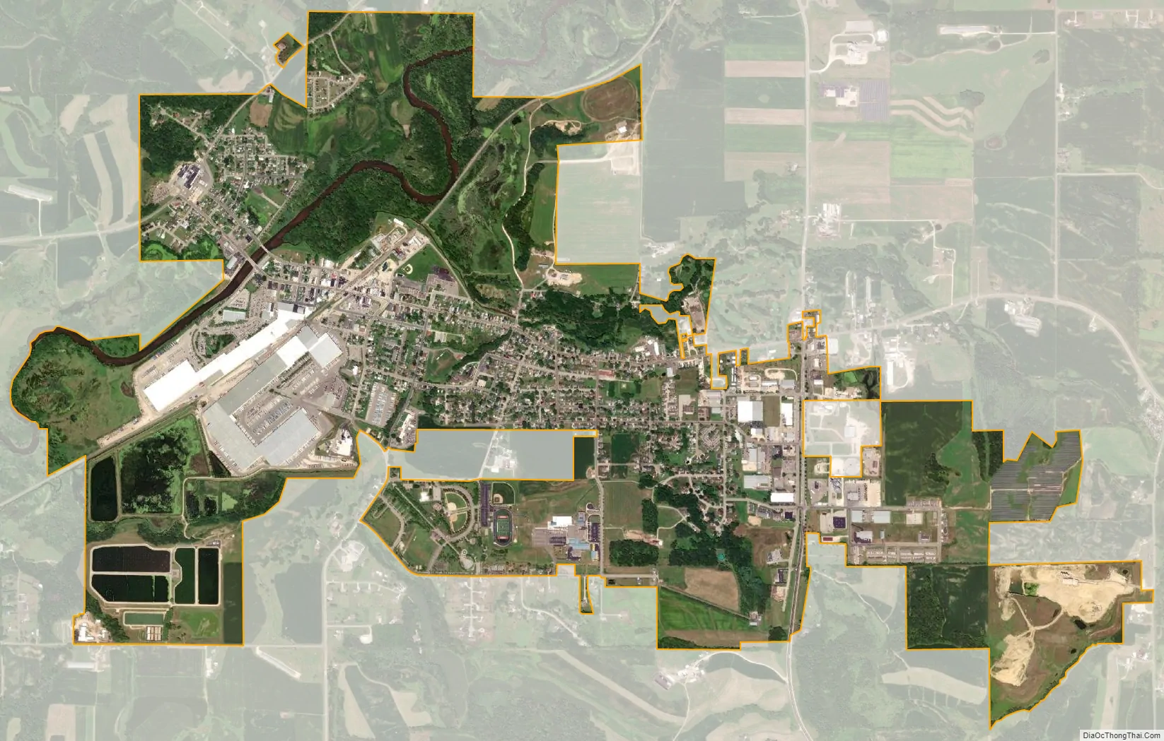
Arcadia city Satellite Map
Geography
According to the United States Census Bureau, the city has a total area of 3.27 square miles (8.47 km), all of it land.
See also
Map of Wisconsin State and its subdivision:- Adams
- Ashland
- Barron
- Bayfield
- Brown
- Buffalo
- Burnett
- Calumet
- Chippewa
- Clark
- Columbia
- Crawford
- Dane
- Dodge
- Door
- Douglas
- Dunn
- Eau Claire
- Florence
- Fond du Lac
- Forest
- Grant
- Green
- Green Lake
- Iowa
- Iron
- Jackson
- Jefferson
- Juneau
- Kenosha
- Kewaunee
- La Crosse
- Lafayette
- Lake Michigan
- Lake Superior
- Langlade
- Lincoln
- Manitowoc
- Marathon
- Marinette
- Marquette
- Menominee
- Milwaukee
- Monroe
- Oconto
- Oneida
- Outagamie
- Ozaukee
- Pepin
- Pierce
- Polk
- Portage
- Price
- Racine
- Richland
- Rock
- Rusk
- Saint Croix
- Sauk
- Sawyer
- Shawano
- Sheboygan
- Taylor
- Trempealeau
- Vernon
- Vilas
- Walworth
- Washburn
- Washington
- Waukesha
- Waupaca
- Waushara
- Winnebago
- Wood
- Alabama
- Alaska
- Arizona
- Arkansas
- California
- Colorado
- Connecticut
- Delaware
- District of Columbia
- Florida
- Georgia
- Hawaii
- Idaho
- Illinois
- Indiana
- Iowa
- Kansas
- Kentucky
- Louisiana
- Maine
- Maryland
- Massachusetts
- Michigan
- Minnesota
- Mississippi
- Missouri
- Montana
- Nebraska
- Nevada
- New Hampshire
- New Jersey
- New Mexico
- New York
- North Carolina
- North Dakota
- Ohio
- Oklahoma
- Oregon
- Pennsylvania
- Rhode Island
- South Carolina
- South Dakota
- Tennessee
- Texas
- Utah
- Vermont
- Virginia
- Washington
- West Virginia
- Wisconsin
- Wyoming