Whitehall is a city in Trempealeau County, Wisconsin, United States, along the Trempealeau River. The population was 1,645 at the 2020 census. It is the county seat of Trempealeau County.
Whitehall is situated on the former Green Bay and Western Railroad midway between La Crosse and Eau Claire.
| Name: | Whitehall city |
|---|---|
| LSAD Code: | 25 |
| LSAD Description: | city (suffix) |
| State: | Wisconsin |
| County: | Trempealeau County |
| Elevation: | 817 ft (249 m) |
| Total Area: | 3.81 sq mi (9.85 km²) |
| Land Area: | 3.81 sq mi (9.85 km²) |
| Water Area: | 0.00 sq mi (0.00 km²) |
| Total Population: | 1,645 |
| Population Density: | 413.14/sq mi (159.53/km²) |
| ZIP code: | 54773 |
| Area code: | 715 & 534 |
| FIPS code: | 5586725 |
| GNISfeature ID: | 1576681 |
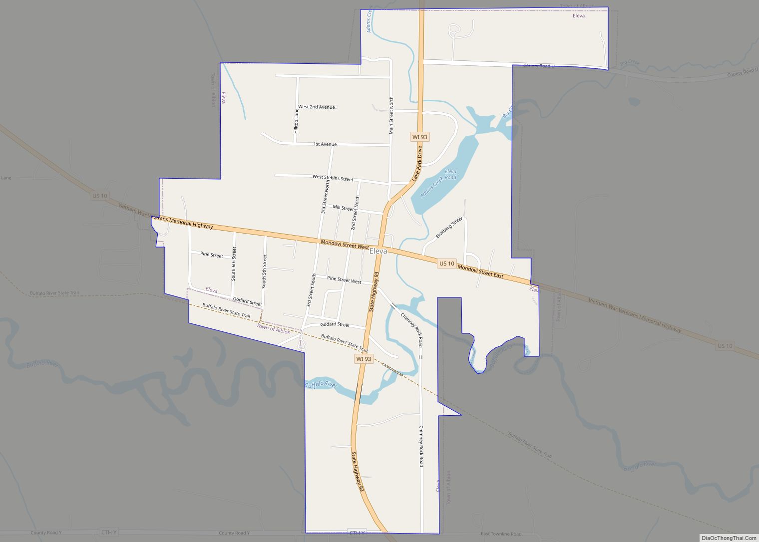
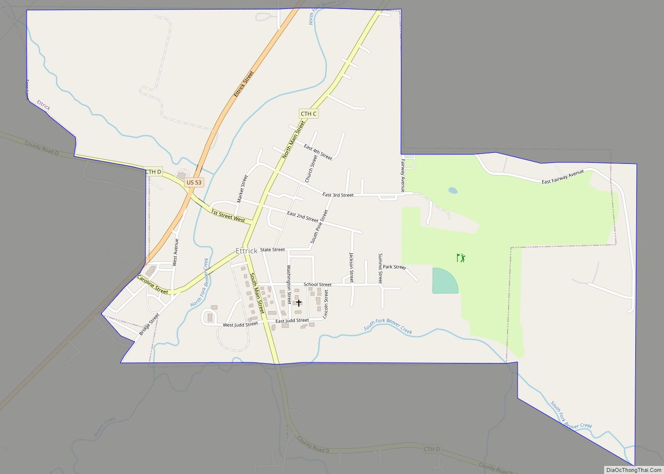
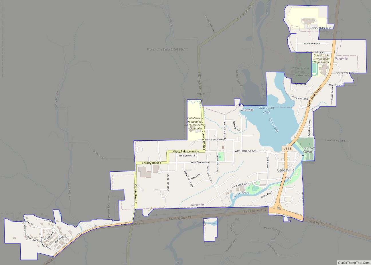
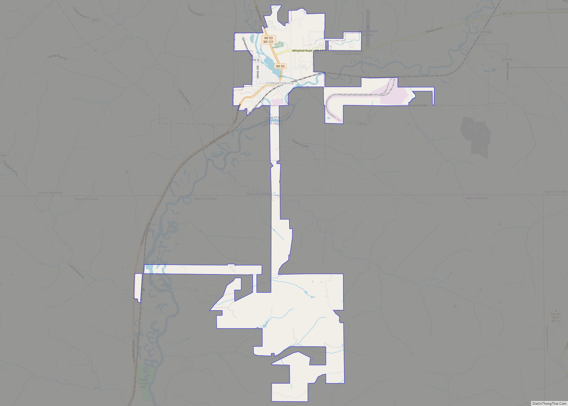
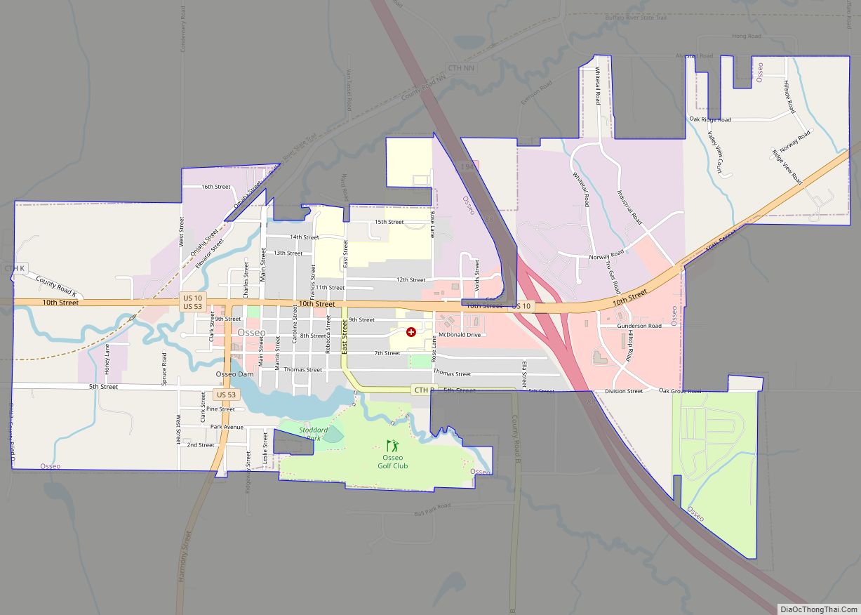
Online Interactive Map
Click on ![]() to view map in "full screen" mode.
to view map in "full screen" mode.
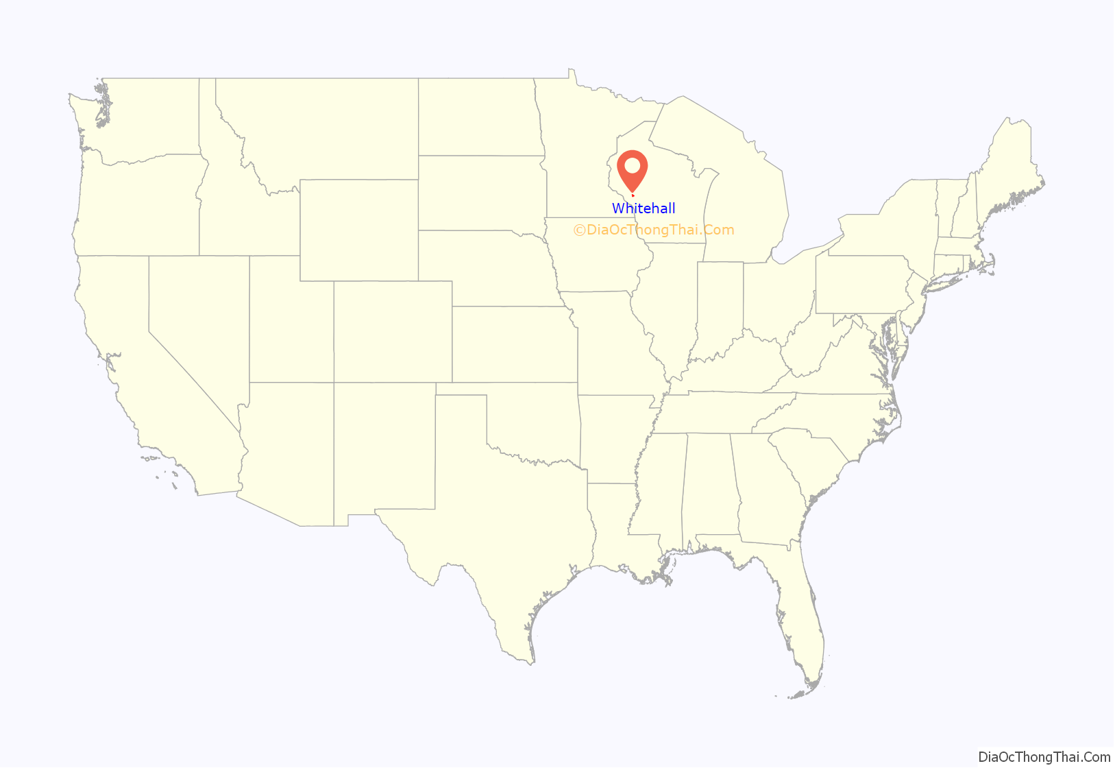
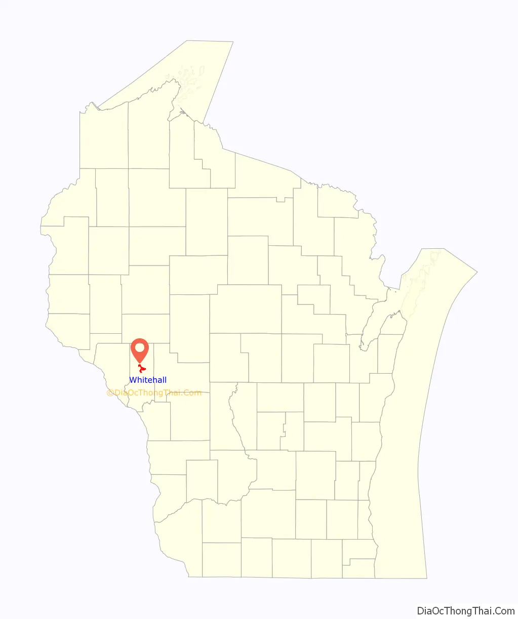
Whitehall location map. Where is Whitehall city?
History
Whitehall was started in 1860 or 1861, in an area later known as Old Whitehall about a mile from the center of the current city, by Ole Knudtson. He came to Whitehall June 25, 1860, and opened a hotel and blacksmith shop. The proprietors of the town site were Benjamin Franklin Wing and Mr. Georges. A post office called Whitehall was first established in 1861. The city was named by Benjamin F. Wing, possibly after White Hall, Illinois and Whitehall, New York.
The Green Bay railroad was built through the valley of the Trempealeau River in 1873. “The tracks were laid through the wheat field that is now Whitehall, on Sept. 2, 1873. … Where the courthouse now stands, the harvesters were gathering wheat. … On New Year’s Day, 1874, the first passenger train passed Whitehall on regular schedule. That same day the lumber was unloaded for the first depot …” Whitehall was incorporated in 1887.
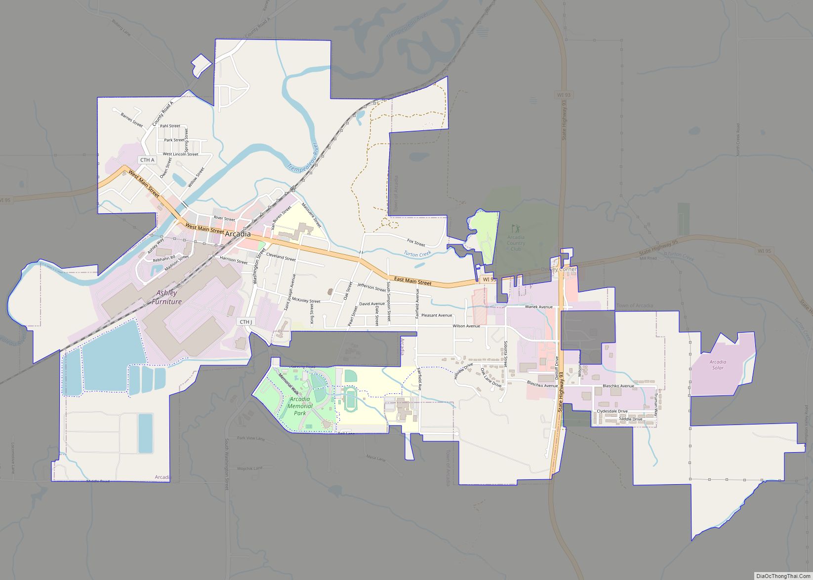
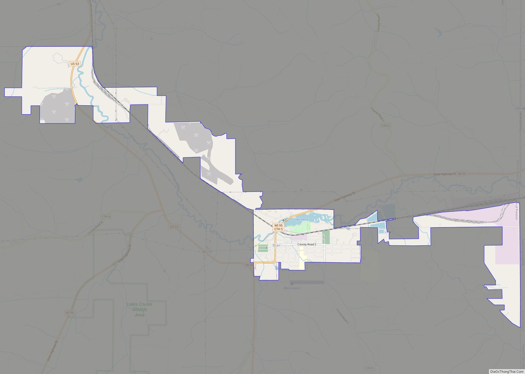
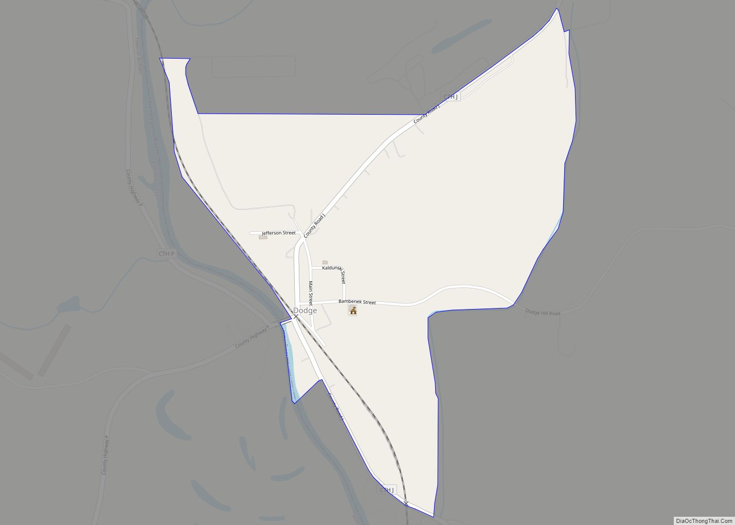
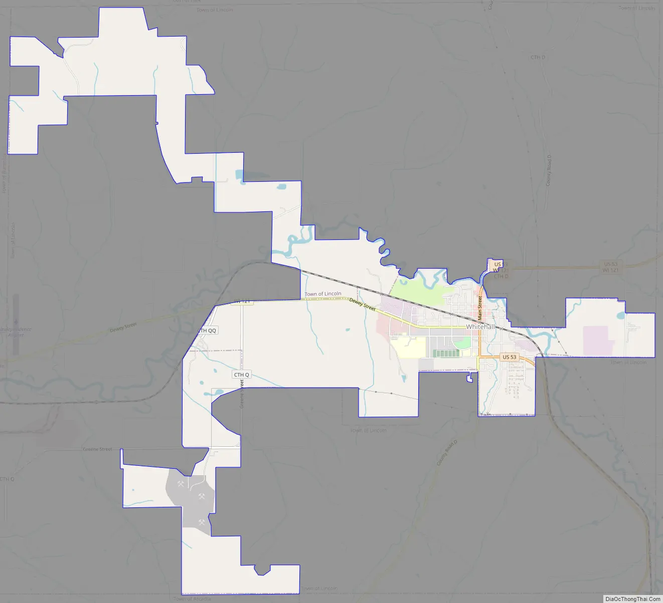
Whitehall Road Map
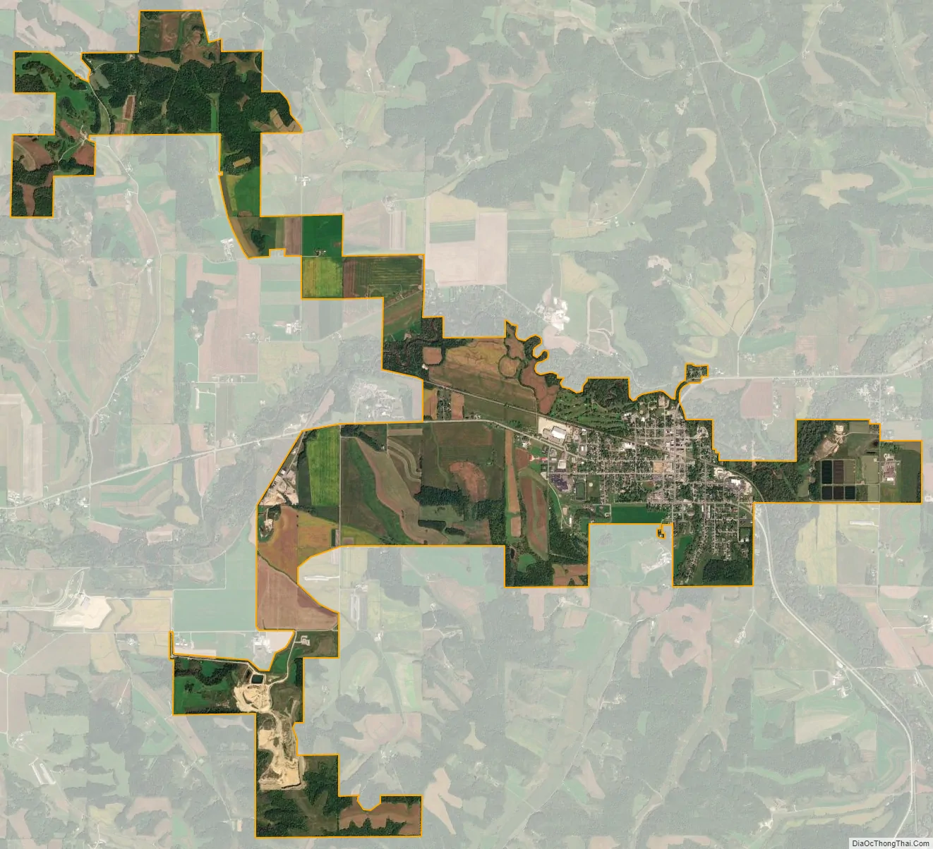
Whitehall city Satellite Map
Geography
According to the United States Census Bureau, the city has a total area of 2.80 square miles (7.25 km), all of it land.
See also
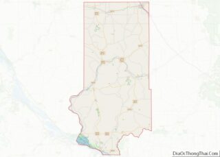
Map of Wisconsin State and its subdivision:- Adams
- Ashland
- Barron
- Bayfield
- Brown
- Buffalo
- Burnett
- Calumet
- Chippewa
- Clark
- Columbia
- Crawford
- Dane
- Dodge
- Door
- Douglas
- Dunn
- Eau Claire
- Florence
- Fond du Lac
- Forest
- Grant
- Green
- Green Lake
- Iowa
- Iron
- Jackson
- Jefferson
- Juneau
- Kenosha
- Kewaunee
- La Crosse
- Lafayette
- Lake Michigan
- Lake Superior
- Langlade
- Lincoln
- Manitowoc
- Marathon
- Marinette
- Marquette
- Menominee
- Milwaukee
- Monroe
- Oconto
- Oneida
- Outagamie
- Ozaukee
- Pepin
- Pierce
- Polk
- Portage
- Price
- Racine
- Richland
- Rock
- Rusk
- Saint Croix
- Sauk
- Sawyer
- Shawano
- Sheboygan
- Taylor
- Trempealeau
- Vernon
- Vilas
- Walworth
- Washburn
- Washington
- Waukesha
- Waupaca
- Waushara
- Winnebago
- Wood
- Alabama
- Alaska
- Arizona
- Arkansas
- California
- Colorado
- Connecticut
- Delaware
- District of Columbia
- Florida
- Georgia
- Hawaii
- Idaho
- Illinois
- Indiana
- Iowa
- Kansas
- Kentucky
- Louisiana
- Maine
- Maryland
- Massachusetts
- Michigan
- Minnesota
- Mississippi
- Missouri
- Montana
- Nebraska
- Nevada
- New Hampshire
- New Jersey
- New Mexico
- New York
- North Carolina
- North Dakota
- Ohio
- Oklahoma
- Oregon
- Pennsylvania
- Rhode Island
- South Carolina
- South Dakota
- Tennessee
- Texas
- Utah
- Vermont
- Virginia
- Washington
- West Virginia
- Wisconsin
- Wyoming