Trigg County is a county located on the far southwestern border of the U.S. state of Kentucky. As of the 2020 census, the population was 14,061. Its county seat is Cadiz. Formed in 1820, the county was named for Stephen Trigg, an officer in the American Revolutionary War who was killed at the Battle of Blue Licks, now in Robertson County, Kentucky. It was a victory for British and allied troops.
Following the Prohibition era, Trigg continued as a prohibition or dry county until 2009. That year the county’s voters narrowly approved a referendum to repeal the prohibition on alcohol sales for off-premises consumption.
Trigg County is part of the Clarksville, TN–KY Metropolitan Statistical Area.
| Name: | Trigg County |
|---|---|
| FIPS code: | 21-221 |
| State: | Kentucky |
| Founded: | 1820 |
| Named for: | Stephen Trigg |
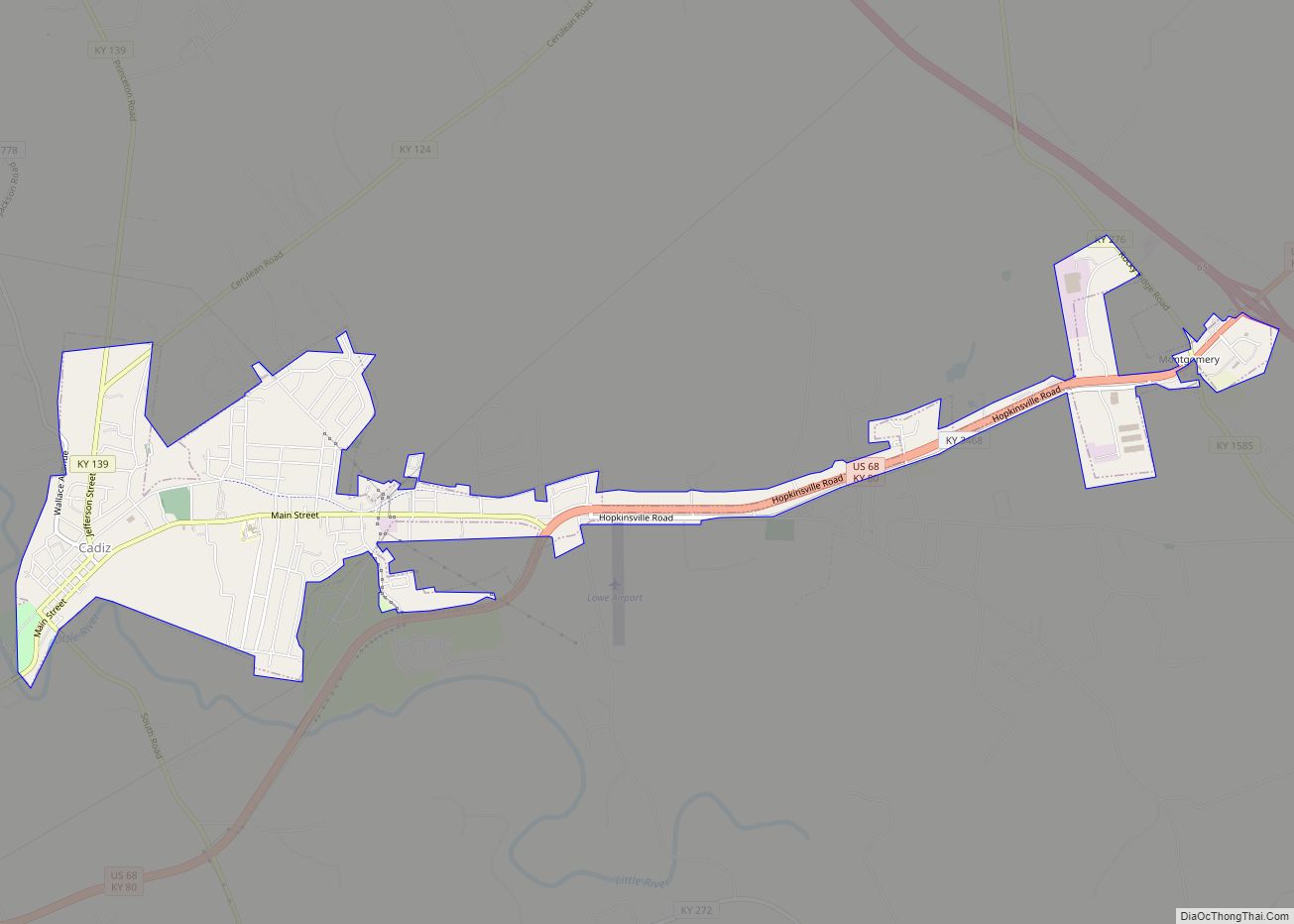
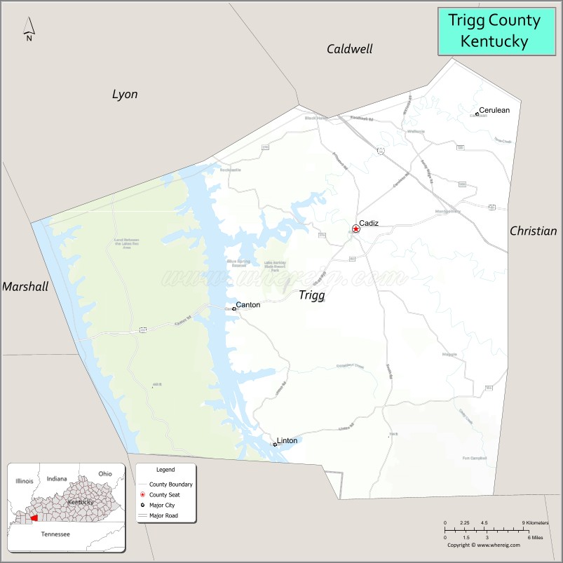
| Seat: | Cadiz |
| Largest city: | Cadiz |
| Total Area: | 481 sq mi (1,250 km²) |
| Land Area: | 441 sq mi (1,140 km²) |
| Total Population: | 14,061 |
| Population Density: | 29/sq mi (11/km²) |
| Time zone: | UTC−6 (Central) |
| Summer Time Zone (DST): | UTC−5 (CDT) |
| Website: | www.triggcounty.ky.gov |
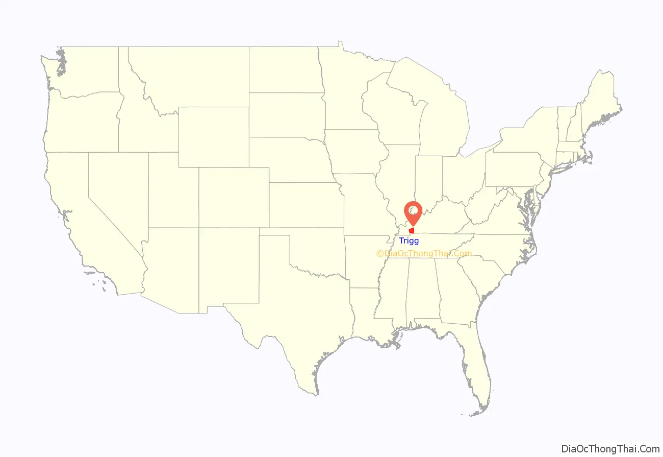
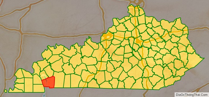
Trigg County location map. Where is Trigg County?
History
Trigg County was formed in 1820 from portions of Christian County and Caldwell counties, as its population had increased.
Trigg County was named in honor of Lt. Col. Stephen Trigg, of Virginia. Trigg had settled near Harrodsburg, Kentucky; during the American Revolutionary War, he served as an officer for the rebels and was killed on August 19, 1782, in the Battle of Blue Licks.
Trigg County Road Map
Geography
According to the United States Census Bureau, the county has a total area of 481 square miles (1,250 km), of which 441 square miles (1,140 km) is land and 40 square miles (100 km) (8.3%) is water.
Adjacent counties
- Lyon County (north)
- Caldwell County (northeast)
- Christian County (east)
- Stewart County, Tennessee (south)
- Calloway County (southwest)
- Marshall County (northwest)
National protected area
- Land Between the Lakes National Recreation Area (part)
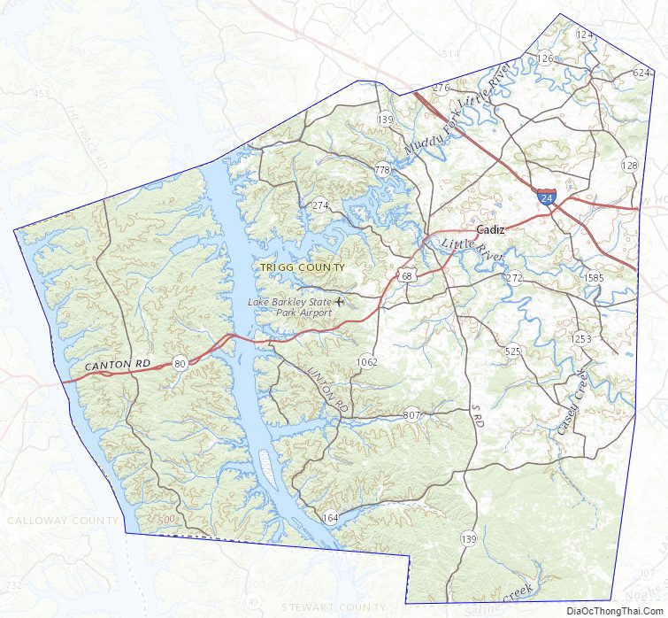
Trigg County Topographic Map
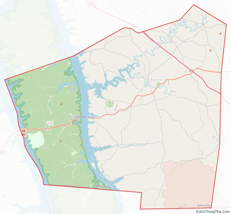
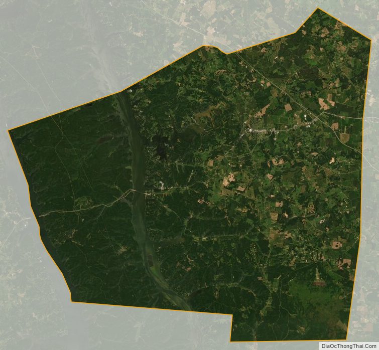
Trigg County Satellite Map
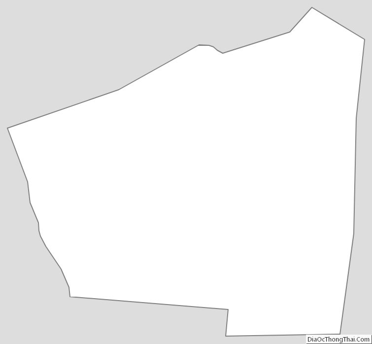
Trigg County Outline Map