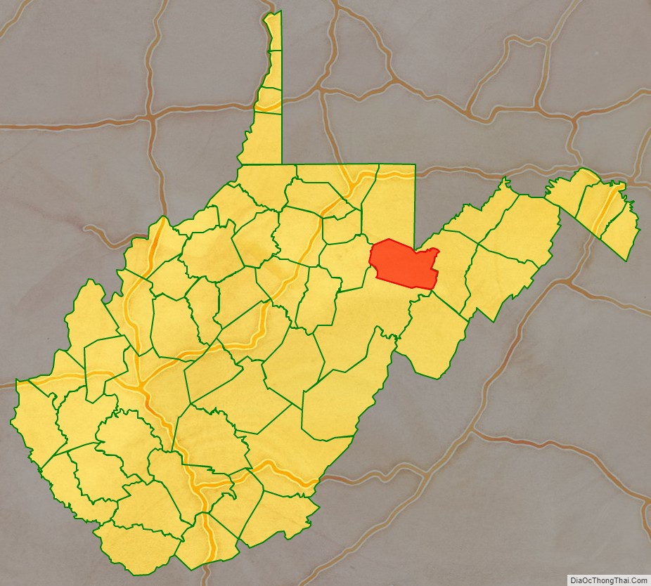
Tucker County is a county in the U.S. state of West Virginia. As of the 2020 census, the population was 6,762, making it West Virginia’s fourth-least populous county. Its county seat is Parsons. The county was created in 1856 from a part of Randolph County, then part of Virginia. In 1871, a small part of Barbour County, was transferred to Tucker County. The county was named after Henry St. George Tucker, Sr., a judge and Congressman from Williamsburg, Virginia.
| Name: | Tucker County |
|---|---|
| FIPS code: | 54-093 |
| State: | West Virginia |
| Founded: | March 7, 1856 |
| Named for: | Henry St. George Tucker, Sr. |
| Seat: | Parsons |
| Largest city: | Parsons |
| Total Area: | 421 sq mi (1,090 km²) |
| Land Area: | 419 sq mi (1,090 km²) |
| Total Population: | 6,762 |
| Population Density: | 16/sq mi (6.2/km²) |
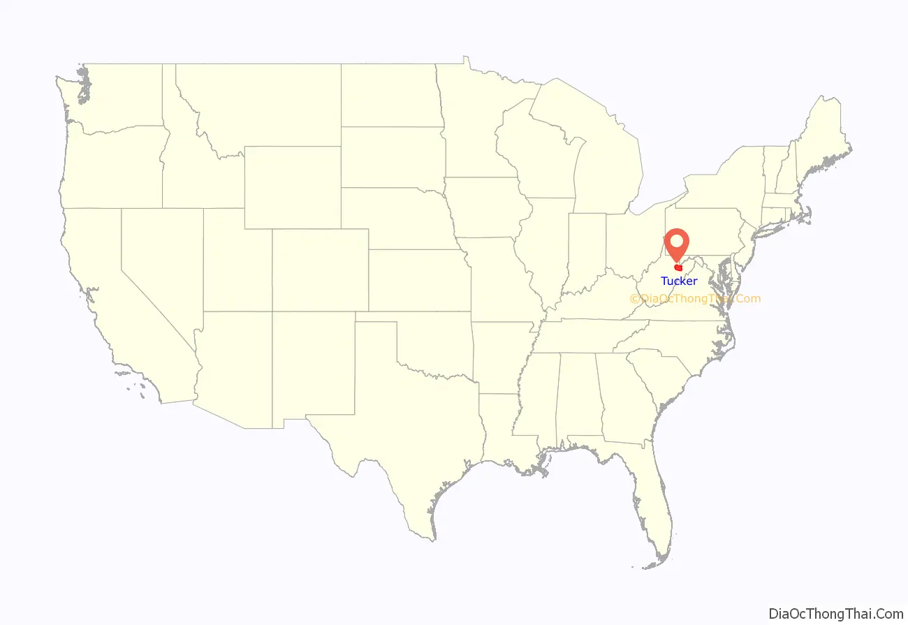
Tucker County location map. Where is Tucker County?
History
Tucker County was created in 1856 from a part of Randolph County, then part of Virginia. In 1861, as a result of the Wheeling Convention, Tucker County joined the rest of West Virginia in breaking away from Virginia to remain a part of the Union.
In 1863, West Virginia’s counties were divided into civil townships, with the intention of encouraging local government. This proved impractical in the heavily rural state, and in 1872 the townships were converted into magisterial districts. Tucker County was initially divided into three townships: Black Fork, Hannahsville, and St. George, which became magisterial districts in 1872. The following year, Hannahsville became Licking District, and in 1876, two new magisterial districts were formed: Clover from part of St. George, and Dry Fork from part of Black Fork. A sixth district, Fairfax, was organized in the 1880s, followed by a seventh, Davis, formed in the 1890s from parts of Dry Fork and Fairfax Districts.
Between 1889 and ’93, a dispute known as the Tucker County Seat War took place between the people in the town of Parsons and that of St. George, over the location of the county seat. Although nobody was killed in the “war”, the situation came to a climax when a mob of armed men from Parsons marched on St. George and took the county records by force.
Beginning in 1907, the Babcock Lumber Company of Pittsburgh, Pennsylvania, while operating out of Davis, West Virginia, clear cut the mountain ridges throughout Tucker Country. This clear cutting, with its residual slashings, converted the landscape into a “tinderbox”. By 1910, fires burned continuously — in some areas for years on end, from spring until the first snows — leaving little other than thin mineral soil and bare rock. In 1914, with the county virtually denuded of standing trees, the ground burned continually for 6 months. As a result, top soils that once produced huge timbers on the mountainsides — including the largest tree ever harvested in West Virginia, a white oak some 13 feet in diameter just 10 feet from the ground — washed down into the narrow valleys and bottom lands, which had always been too narrow for harvesting productive crops or livestock. Uncontrollable soil erosion and flooding further degraded and depopulated the region. To this day, Tucker County and surrounding regions bear the scars of this remarkable conflagration.
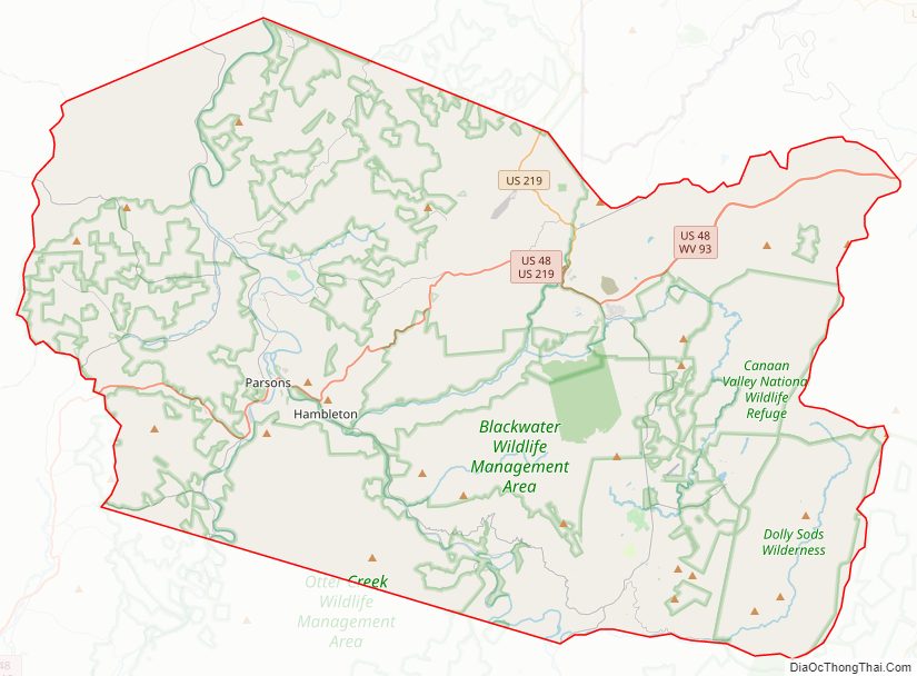
Tucker County Road Map
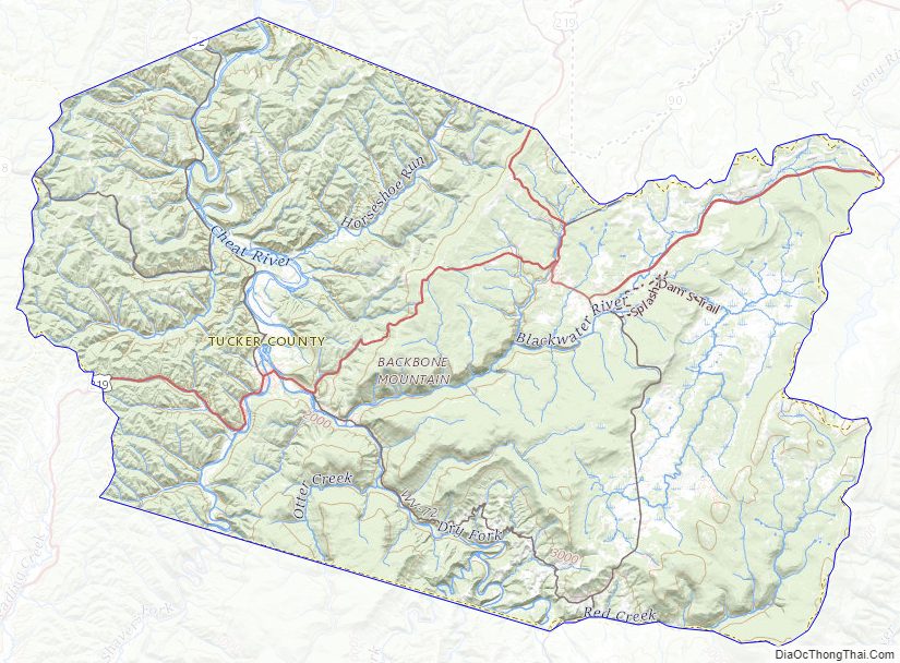
Geography
According to the United States Census Bureau, the county has a total area of 421 square miles (1,090 km), of which 419 square miles (1,090 km) is land and 2.1 square miles (5.4 km) (0.5%) is water.
Major highways
- U.S. Highway 219
- West Virginia Route 32
- West Virginia Route 38
- West Virginia Route 72
- West Virginia Route 90
- West Virginia Route 93
WV 48
Adjacent counties
- Preston County (north)
- Grant County (east)
- Randolph County (south)
- Barbour County (west)
State parks
- Blackwater Falls State Park
- Canaan Valley Resort State Park
- Fairfax Stone State Park
Federal lands
- Canaan Valley National Wildlife Refuge
- Dolly Sods Wilderness
- Fernow Experimental Forest
- Monongahela National Forest
National Natural Landmarks
- Big Run Bog
- Canaan Valley
- Fisher Spring Run Bog
Tucker County Topographic Map
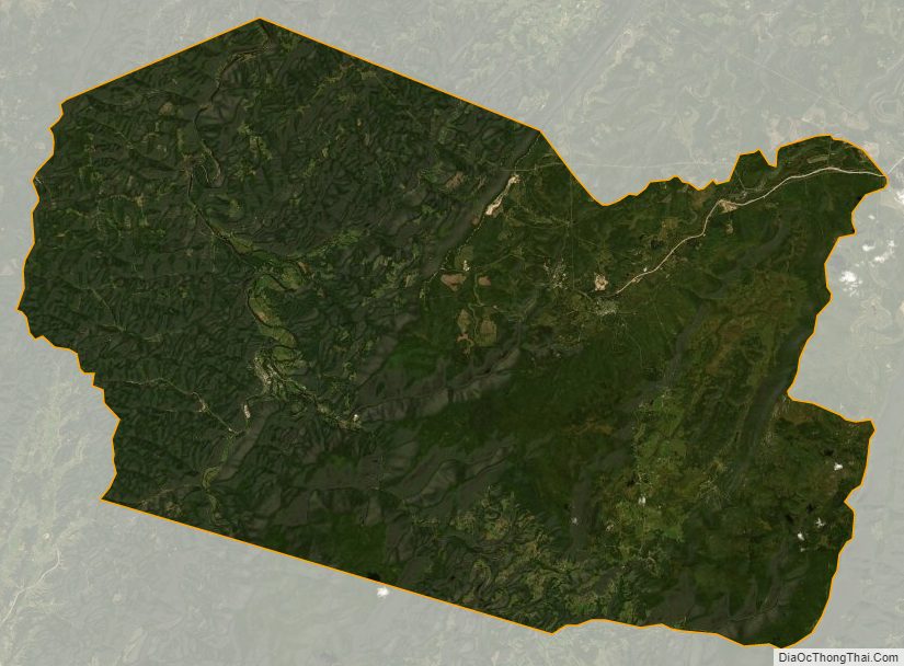
Tucker County Satellite Map
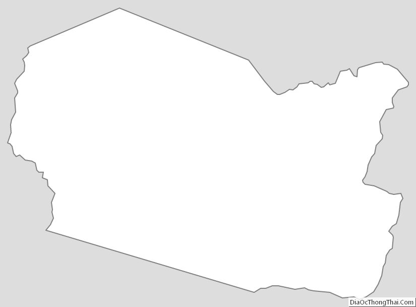
Tucker County Outline Map