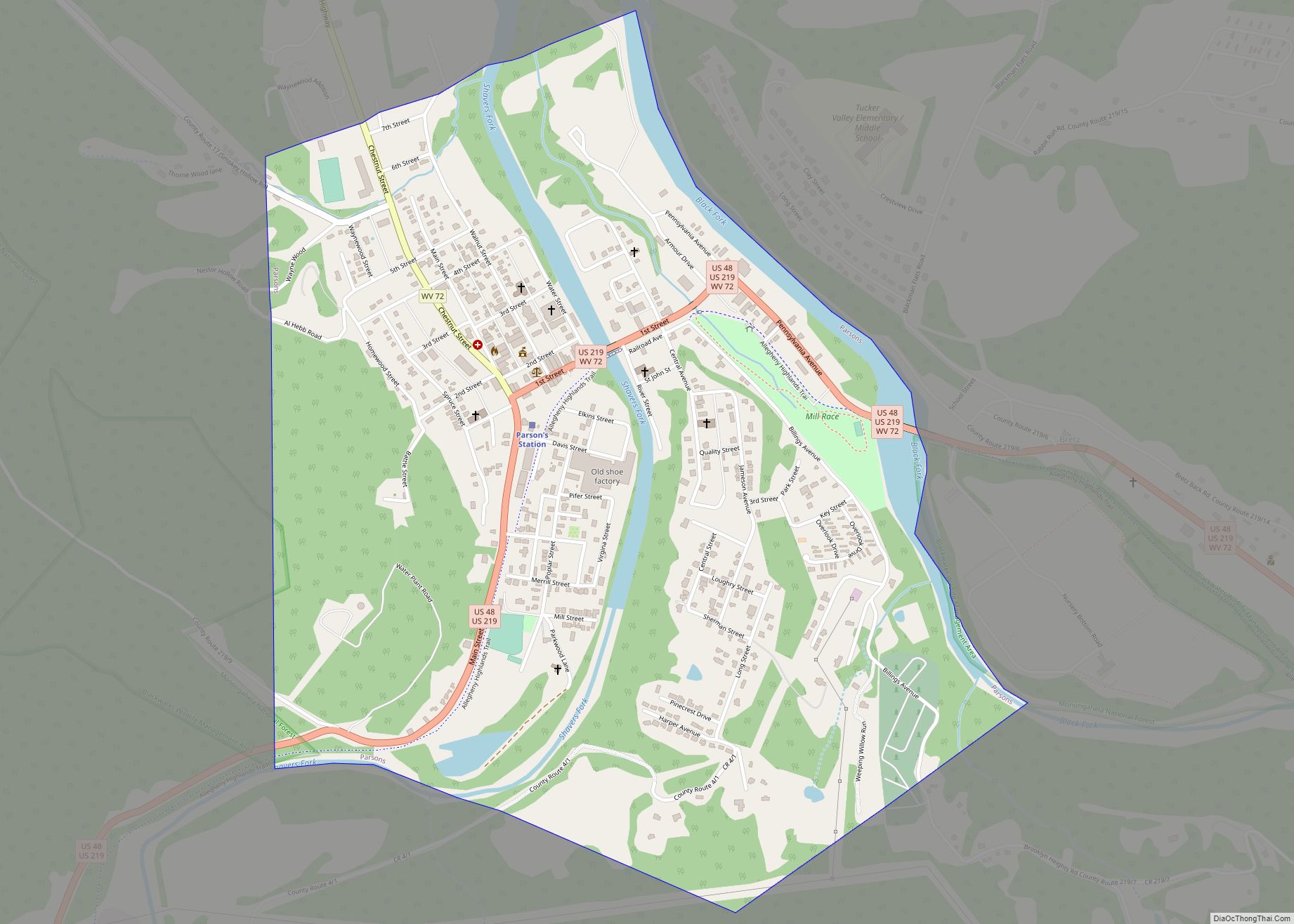
Parsons is the largest city in and county seat of Tucker County, West Virginia, United States. The population was 1,322 at the 2020 census. Parsons is located at the confluence of the Shavers Fork and the Black Fork, forming the head of the Cheat River.
| Name: | Parsons city |
|---|---|
| LSAD Code: | 25 |
| LSAD Description: | city (suffix) |
| State: | West Virginia |
| County: | Tucker County |
| Elevation: | 1,647 ft (502 m) |
| Total Area: | 1.20 sq mi (3.11 km²) |
| Land Area: | 1.12 sq mi (2.91 km²) |
| Water Area: | 0.08 sq mi (0.20 km²) |
| Total Population: | 1,322 |
| Population Density: | 1,239.75/sq mi (478.49/km²) |
| ZIP code: | 26287 |
| Area code: | 304 |
| FIPS code: | 5462284 |
| GNISfeature ID: | 1555312 |
| Website: | cityofparsonswv.com |
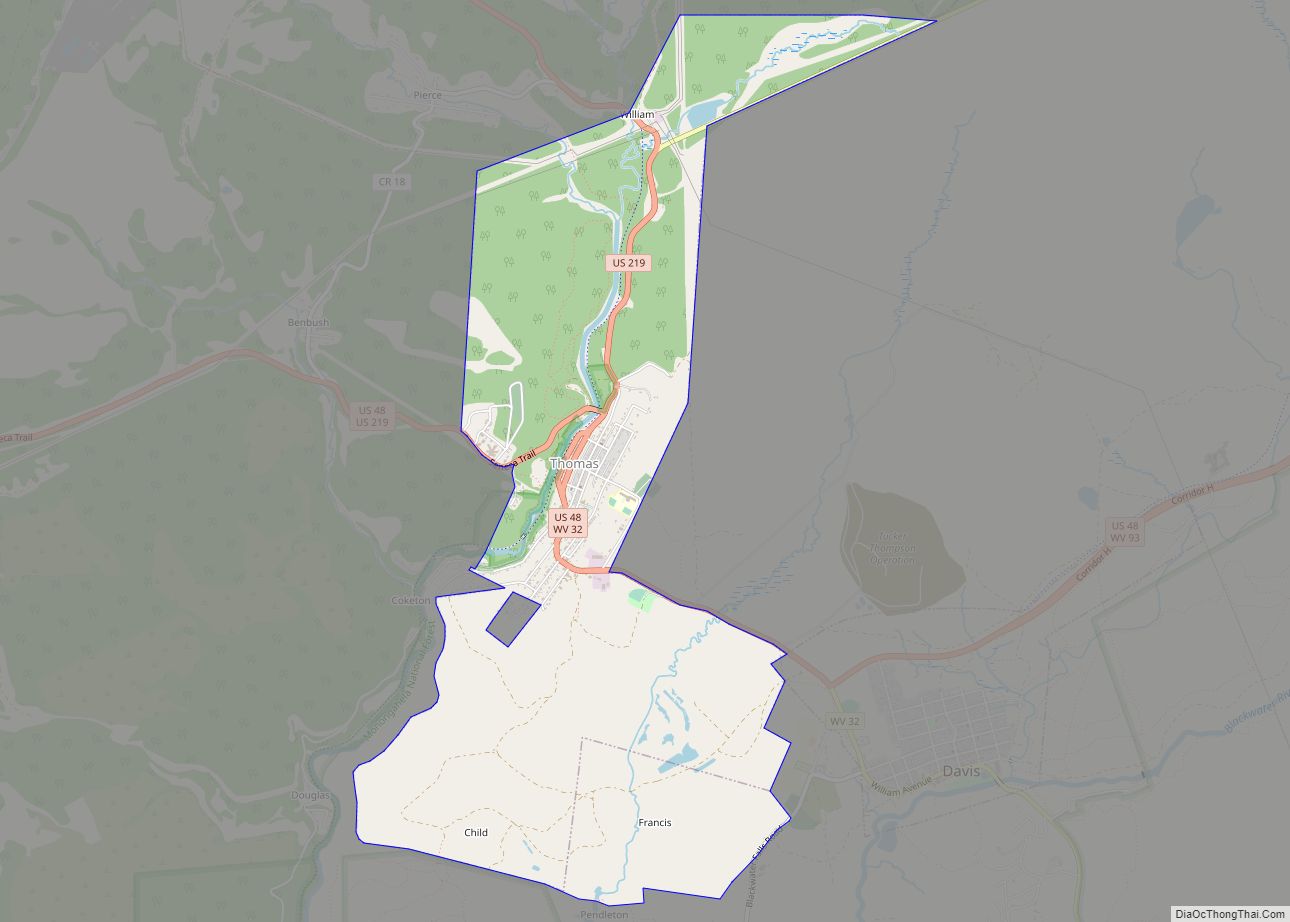
Online Interactive Map
Click on ![]() to view map in "full screen" mode.
to view map in "full screen" mode.
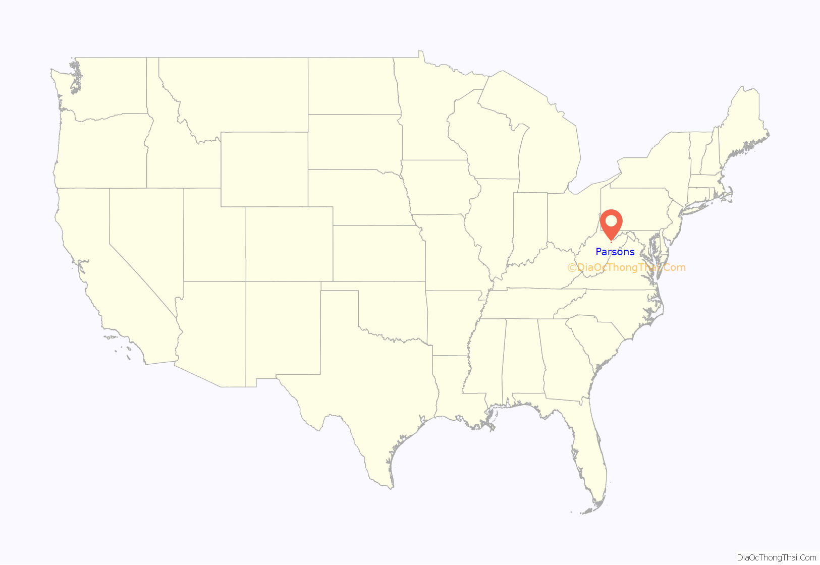
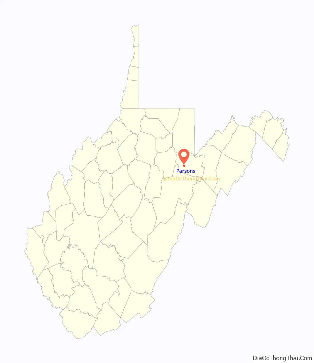
Parsons location map. Where is Parsons city?
History
Parsons was named for Ward Parsons, described by one source as having once owned the land on which the town was built, and by another as having been an aged wilderness pioneer in the area.
The West Virginia Central and Pittsburg Railway was built into Parsons in 1888. The railway caused the town to boom by the 1890s. The railway was later merged into the Western Maryland Railway and provided passenger train service until the 1950s.
In the early 1890s, a dispute known as the Tucker County Seat War took place between the people in the town of Parsons and that of St. George over the location of the county seat. Although nobody was killed in the “war,” the situation came to a climax when a mob of armed men from Parsons marched on St. George and took the county records by force.
1985 flood
The 1985 Cheat River flood caused extensive damage in Parsons. Over 90 percent of the businesses and hundreds of homes were damaged or destroyed. Twenty-five years later, in 2010, several empty storefronts lined the street up to the courthouse. Bars, restaurants, clothing stores and other businesses never returned to Parsons. The floods caused an estimated $570 million in damages. More than 3,500 homes and 180 businesses were destroyed. The BF Long & Co general store had a “high water mark” more than 7’6″ from the floorboards. Flood stage in the shallow riverbed was only 7 feet.
Historic sites
Located at Parsons and listed on the National Register of Historic Places are the Tucker County Bank Building, Tucker County Courthouse and Jail, and Western Maryland Depot.
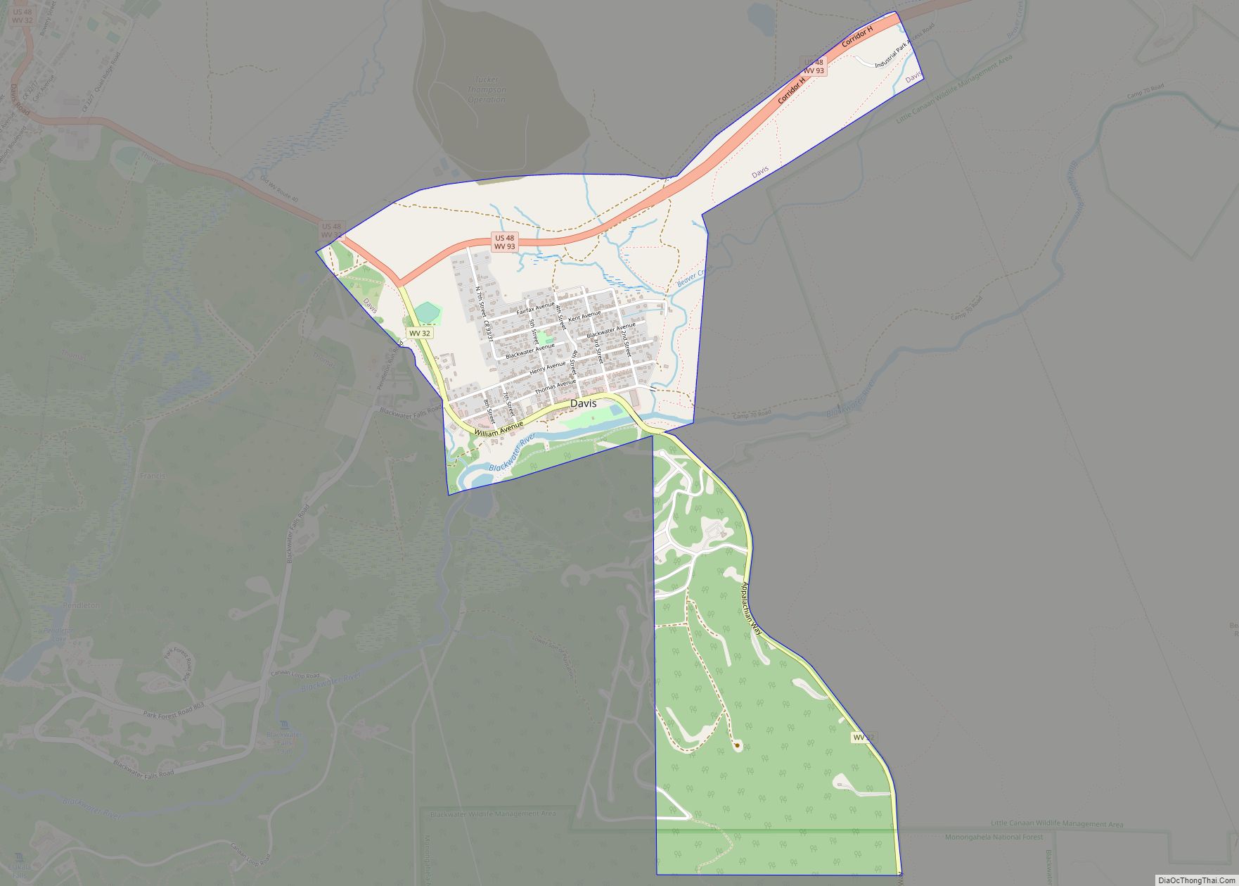
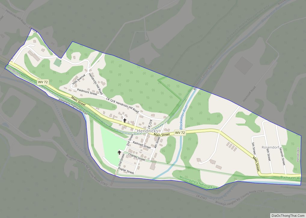
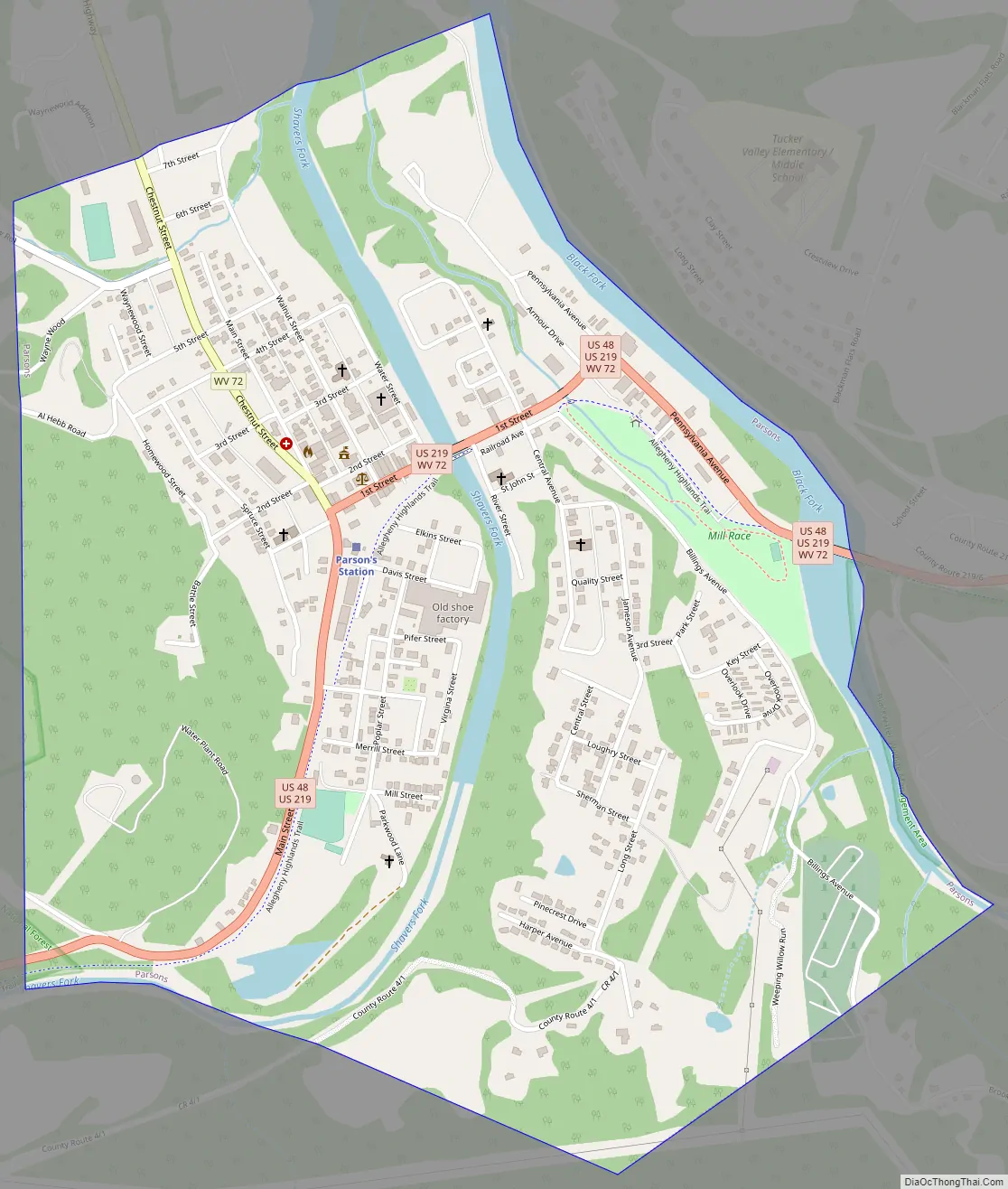
Parsons Road Map
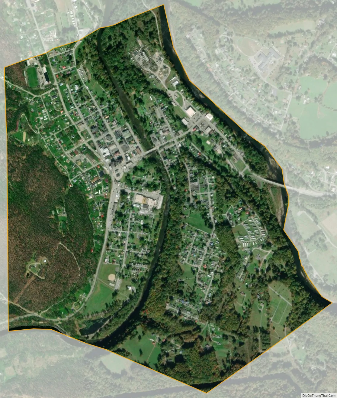
Parsons city Satellite Map
Geography
The Cheat River is formed at Parsons by the confluence of the Shavers Fork and the Black Fork.
The city has a total area of 1.20 square miles (3.11 km), of which 1.11 square miles (2.87 km) is land and 0.09 square miles (0.23 km) is water.
Climate
The climate in this area has mild differences between highs and lows, and there is adequate rainfall year-round. According to the Köppen Climate Classification system, Parsons has a marine west coast climate, abbreviated “Cfb” on climate maps.
Parsons had 96.99 inches of rain in 2018, a state record.
See also
Map of West Virginia State and its subdivision:- Barbour
- Berkeley
- Boone
- Braxton
- Brooke
- Cabell
- Calhoun
- Clay
- Doddridge
- Fayette
- Gilmer
- Grant
- Greenbrier
- Hampshire
- Hancock
- Hardy
- Harrison
- Jackson
- Jefferson
- Kanawha
- Lewis
- Lincoln
- Logan
- Marion
- Marshall
- Mason
- McDowell
- Mercer
- Mineral
- Mingo
- Monongalia
- Monroe
- Morgan
- Nicholas
- Ohio
- Pendleton
- Pleasants
- Pocahontas
- Preston
- Putnam
- Raleigh
- Randolph
- Ritchie
- Roane
- Summers
- Taylor
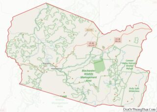
- Tucker
- Tyler
- Upshur
- Wayne
- Webster
- Wetzel
- Wirt
- Wood
- Wyoming
- Alabama
- Alaska
- Arizona
- Arkansas
- California
- Colorado
- Connecticut
- Delaware
- District of Columbia
- Florida
- Georgia
- Hawaii
- Idaho
- Illinois
- Indiana
- Iowa
- Kansas
- Kentucky
- Louisiana
- Maine
- Maryland
- Massachusetts
- Michigan
- Minnesota
- Mississippi
- Missouri
- Montana
- Nebraska
- Nevada
- New Hampshire
- New Jersey
- New Mexico
- New York
- North Carolina
- North Dakota
- Ohio
- Oklahoma
- Oregon
- Pennsylvania
- Rhode Island
- South Carolina
- South Dakota
- Tennessee
- Texas
- Utah
- Vermont
- Virginia
- Washington
- West Virginia
- Wisconsin
- Wyoming