Grant County is a county in the U.S. state of West Virginia. As of the 2020 census, the population was 10,976. Its county seat is Petersburg. The county was created from Hardy County in 1866 and named for Civil War General Ulysses S. Grant.
| Name: | Grant County |
|---|---|
| FIPS code: | 54-023 |
| State: | West Virginia |
| Founded: | February 14, 1866 |
| Named for: | Ulysses S. Grant |
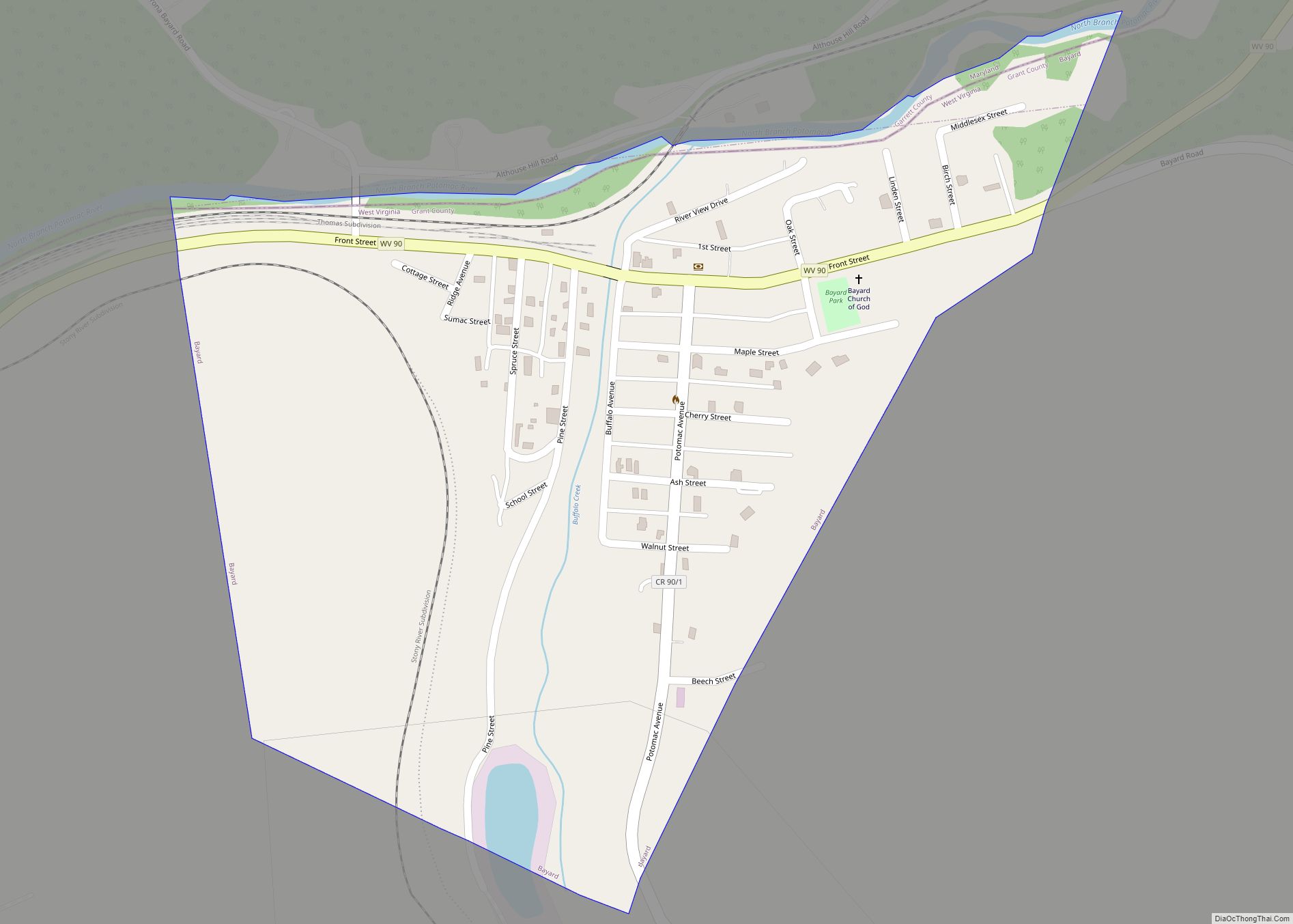
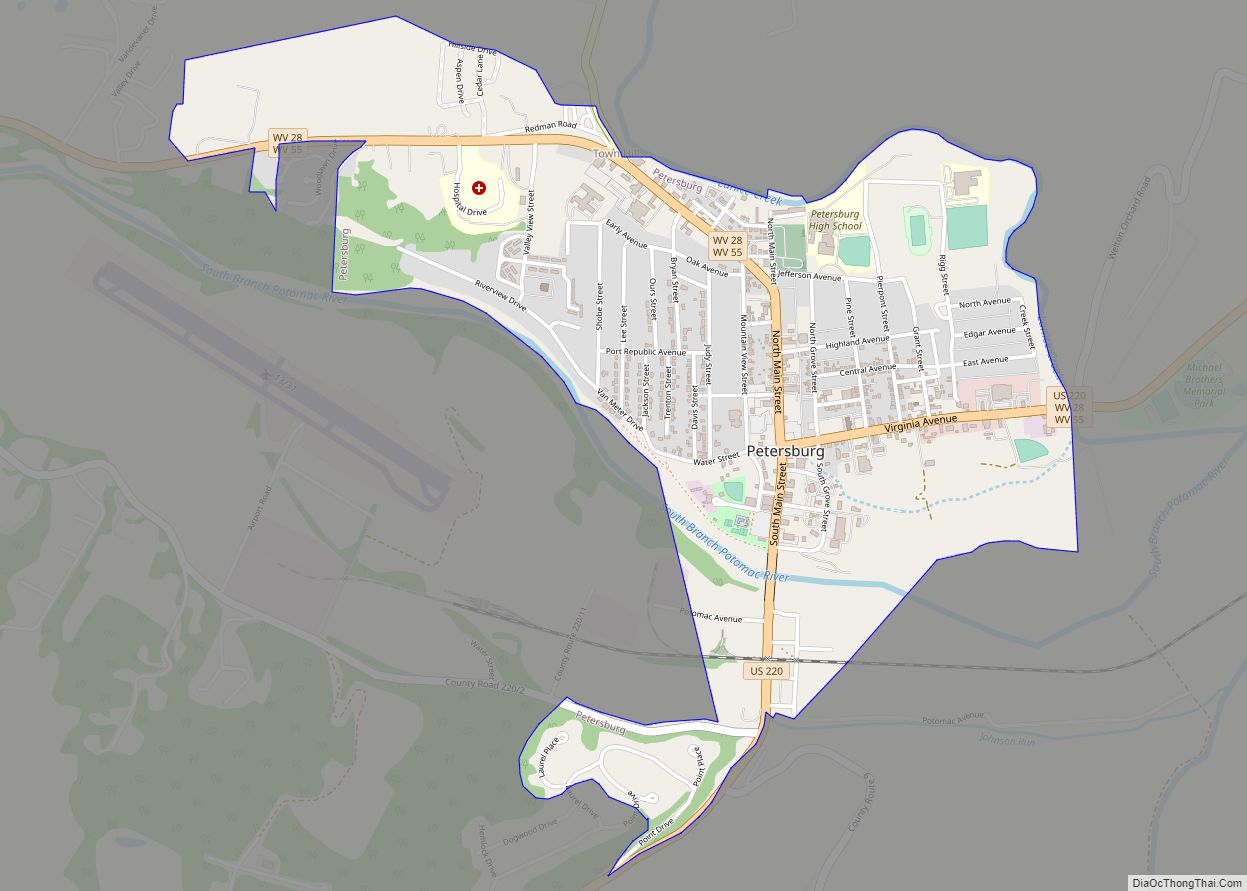
| Seat: | Petersburg |
| Largest city: | Petersburg |
| Total Area: | 480 sq mi (1,200 km²) |
| Land Area: | 477 sq mi (1,240 km²) |
| Total Population: | 10,976 |
| Population Density: | 23/sq mi (8.8/km²) |
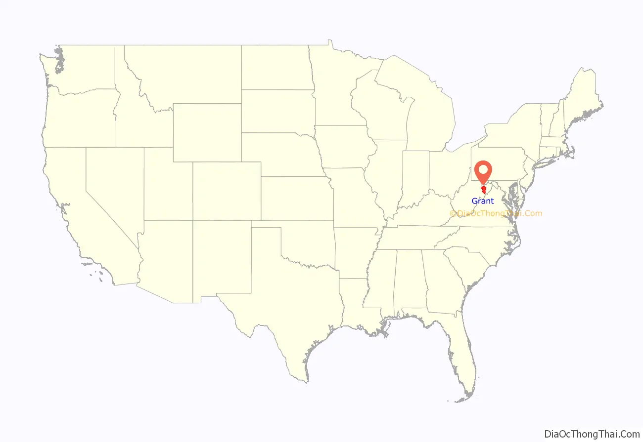
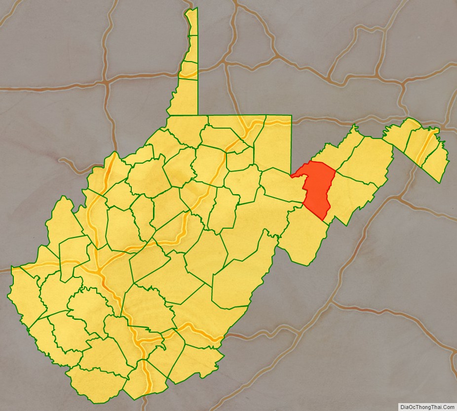
Grant County location map. Where is Grant County?
History
The territory that became Grant County in 1866 was originally part of Hampshire County, the oldest county formed within the present boundaries of West Virginia, in 1754. In 1786, Hardy County was formed from the southern portion of Hampshire County. The county’s boundaries were relatively stable from 1788 until 1866, when Grant County was formed from the western portion of Hardy. The first counties formed in the state following the admission of West Virginia to the Union were Grant and Mineral in 1866, the latter formed from the western portion of Hampshire County, and thus adjoining Grant. They were the fifty-first and fifty-second counties in West Virginia, and only Lincoln, Summers, and Mingo were created after them.
Beginning in 1863, West Virginia’s counties were divided into civil townships, with the intention of encouraging local government. This proved impractical in the heavily rural state, and in 1872 the townships were converted into magisterial districts. Between its establishment and 1870, Grant County was divided into three townships: Grant, Milroy, and Union, which became magisterial districts in 1872.
Most of the 47 people killed in the 1985 Election day floods were in Pendleton and Grant counties, according to the National Weather Service. At Franklin, the Pendleton County seat, the South Branch of the Potomac River crested at 22.6 feet during the incident. Flood stage in the shallow riverbed was only 7 feet.
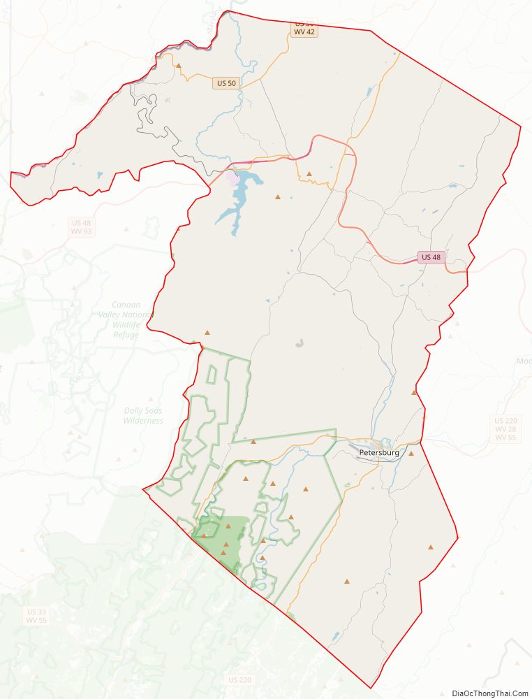
Grant County Road Map
Geography
According to the United States Census Bureau, the county has a total area of 480 square miles (1,200 km), of which 477 square miles (1,240 km) is land and 2.9 square miles (7.5 km) (0.6%) is water.
Major highways
- U.S. Route 48
- U.S. Route 50
- U.S. Route 220
- West Virginia Route 28
- West Virginia Route 42
- West Virginia Route 55
- West Virginia Route 93
Adjacent counties
- Mineral County (northeast)
- Hardy County (east)
- Pendleton County (south)
- Randolph County (southwest)
- Tucker County (west)
- Preston County (northwest)
- Garrett County, Maryland (northwest)
National protected areas
- Monongahela National Forest (part)
- Spruce Knob–Seneca Rocks National Recreation Area (part)
Grant County Topographic Map
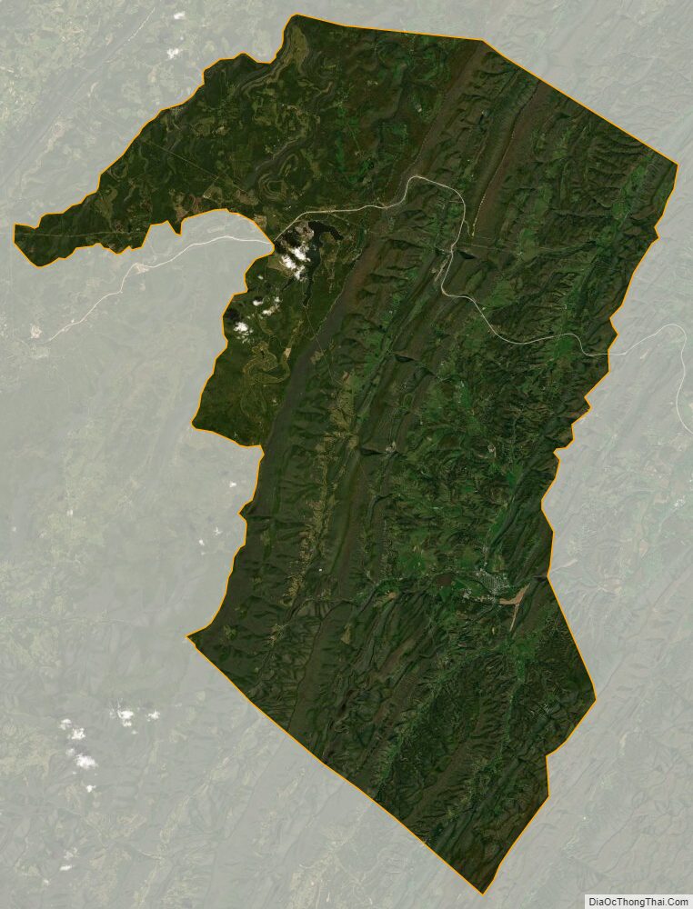
Grant County Satellite Map
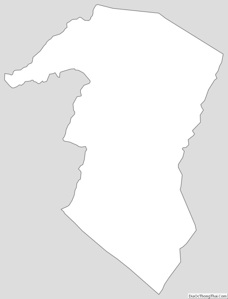
Grant County Outline Map