| Name: | Twiggs County |
|---|---|
| FIPS code: | 13-289 |
| State: | Georgia |
| Founded: | 1809 |
| Named for: | John Twiggs |
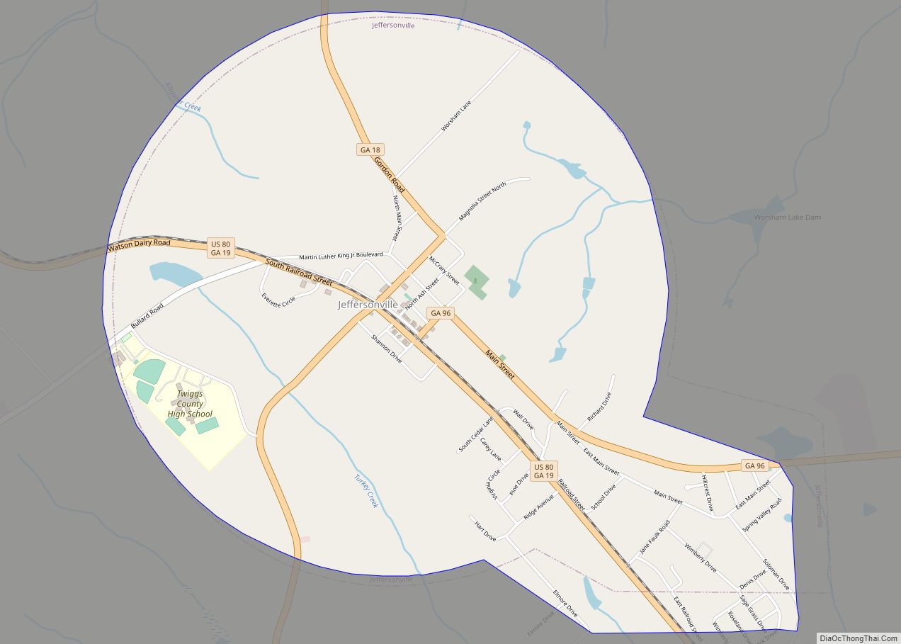
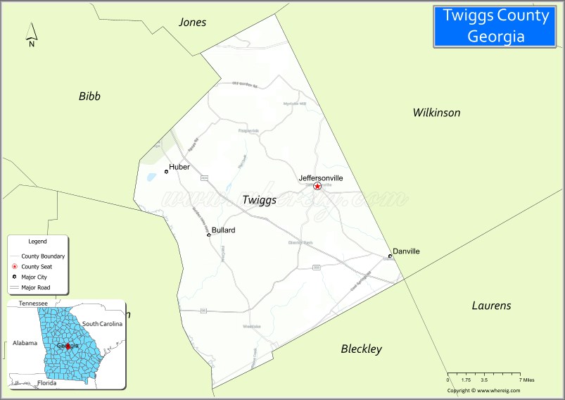
| Seat: | Jeffersonville |
| Largest city: | Jeffersonville |
| Total Area: | 363 sq mi (940 km²) |
| Land Area: | 358 sq mi (930 km²) |
| Total Population: | 8,022 |
| Population Density: | 22/sq mi (8/km²) |
| Time zone: | UTC−5 (Eastern) |
| Summer Time Zone (DST): | UTC−4 (EDT) |
| Website: | www.twiggscounty.us |
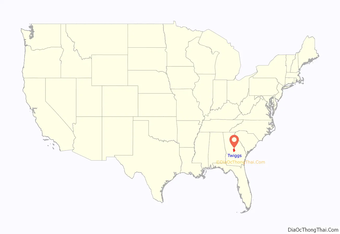
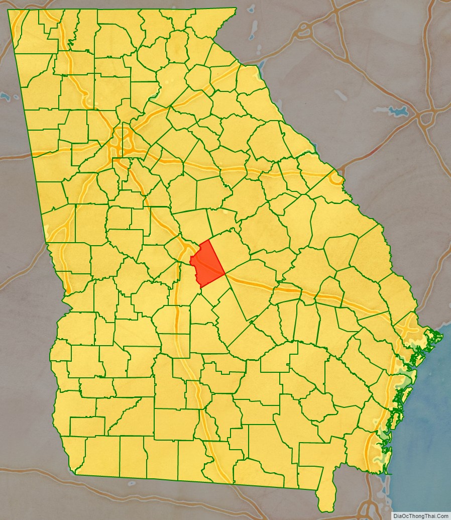
Twiggs County location map. Where is Twiggs County?
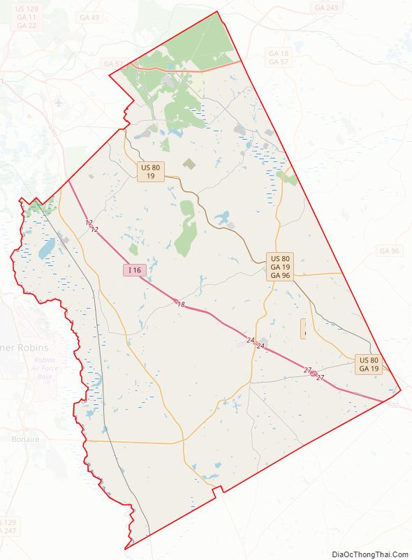
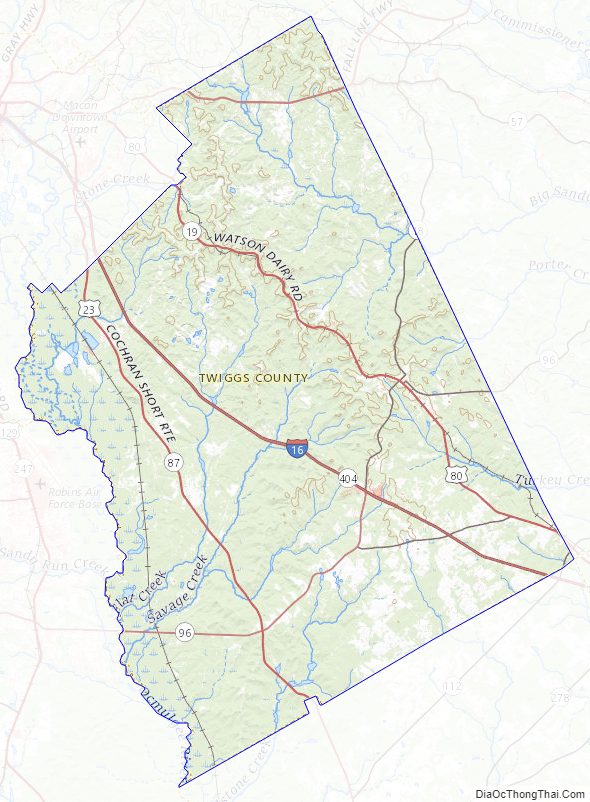
Twiggs County Road Map
Geography
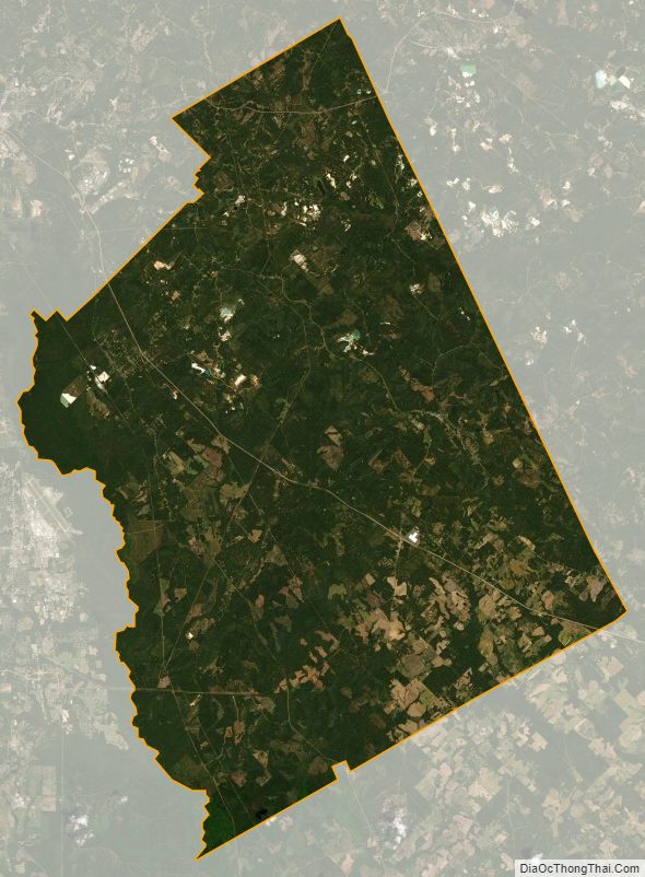
According to the U.S. Census Bureau, the county has a total area of 363 square miles (940 km), of which 358 square miles (930 km) is land and 4.2 square miles (11 km) (1.2%) is water.
Due to its location on the fall line, the county boasts a diverse geography. Northern parts of the county tend to be hillier, being part of the Piedmont region, and southern parts of the county tend to be flatter, being part of the upper Atlantic coastal plain.
The geographical center of Georgia lies in Twiggs County — off Bullard Road near Old Marion.
The southwestern and central portion of Twiggs County, south of Dry Branch and west of Jeffersonville, is located in the Lower Ocmulgee River sub-basin of the Altamaha River basin. A narrow northwestern portion of the county, from just north to southwest of Dry Branch, is located in the Upper Ocmulgee River sub-basin of the Altamaha River basin. The entire eastern edge of the county is located in the Lower Oconee River sub-basin of the same Altamaha River basin, with a small triangular portion of Twiggs County, south of Interstate 16 and west of Danville, located in the Little Ocmulgee River sub-basin of the same larger Altamaha River basin.
Major highways
- Interstate 16
- U.S. Route 23
- U.S. Route 80
U.S. Route 129 Alternate- State Route 18
- State Route 19
- State Route 57
- State Route 87
- State Route 96
- State Route 112
- State Route 358
- State Route 404 (unsigned designation for I-16)
- State Route 540 (Fall Line Freeway)
Adjacent counties
- Wilkinson County – northeast
- Laurens County – southeast
- Bleckley County – south
- Houston County – southwest
- Bibb County – west
- Jones County – northwest
National protected area
- Bond Swamp National Wildlife Refuge (part)
Twiggs County Topographic Map
Twiggs County Satellite Map
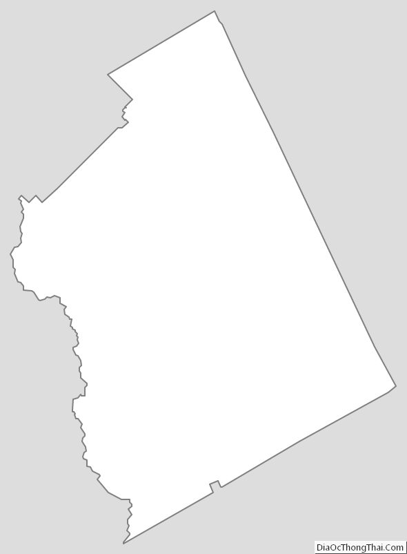
Twiggs County Outline Map