Houston County (/ˈhaʊstən/ HOW-stən) is a county located in the central portion of the U.S. state of Georgia. The population was 163,633 at the 2020 census. Its county seat is Perry; the city of Warner Robins is substantially larger in both area and population.
The county was created on May 15, 1821, along with 4 other counties in the state, and later reduced in size with the formation of Bibb, Crawford, Pulaski, Macon, and Peach counties. It was named after Georgia governor John Houstoun, with the spelling being a common 19th-century variation that later evolved to “Houston”. The pronunciation, however, remains to this day “howston.” The geographic center of the county was given the name Wattsville, which was later changed to Perry.
Houston County is included in the Warner Robins, GA Metropolitan Statistical Area, which in turn is included in the Macon-Warner Robins-Fort Valley Combined Statistical Area. Flat Creek Public Fishing Area is in Houston County, south west of Perry.
| Name: | Houston County |
|---|---|
| FIPS code: | 13-153 |
| State: | Georgia |
| Founded: | 1821 |
| Named for: | John Houstoun |
| Seat: | Perry |
| Largest city: | Warner Robins |
| Total Area: | 380 sq mi (1,000 km²) |
| Land Area: | 376 sq mi (970 km²) |
| Total Population: | 163,633 |
| Population Density: | 373/sq mi (144/km²) |
| Time zone: | UTC−5 (Eastern) |
| Summer Time Zone (DST): | UTC−4 (EDT) |
| Website: | www.houstoncountyga.com |
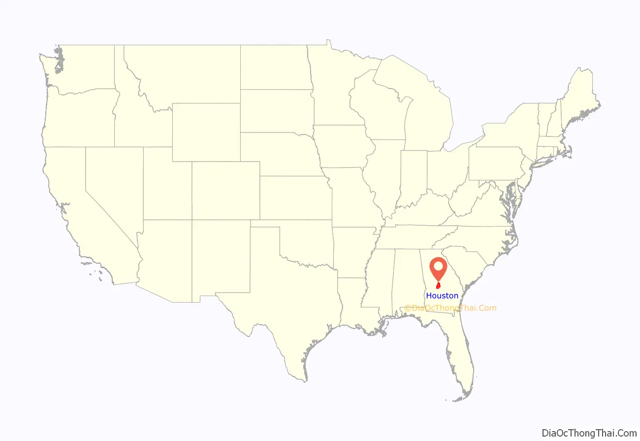
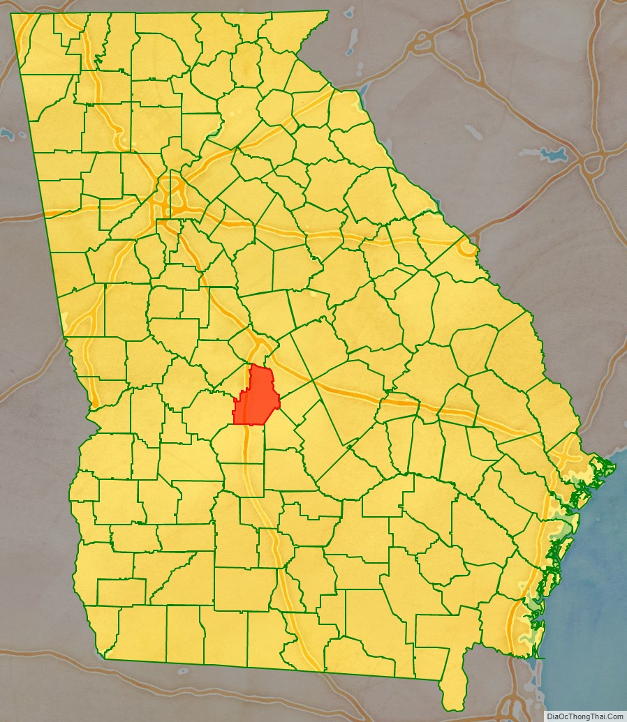
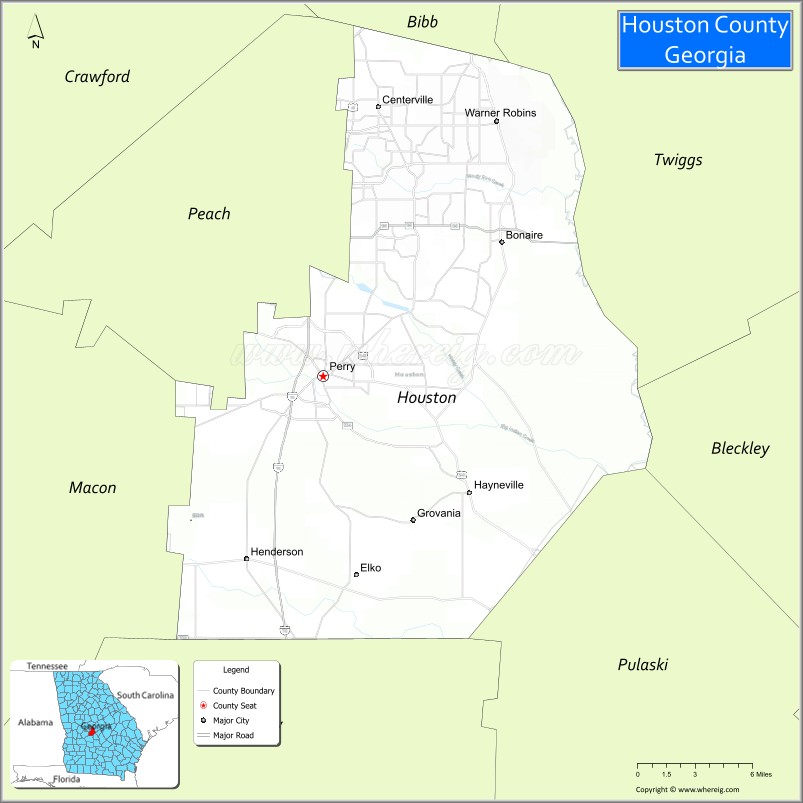
Houston County location map. Where is Houston County?
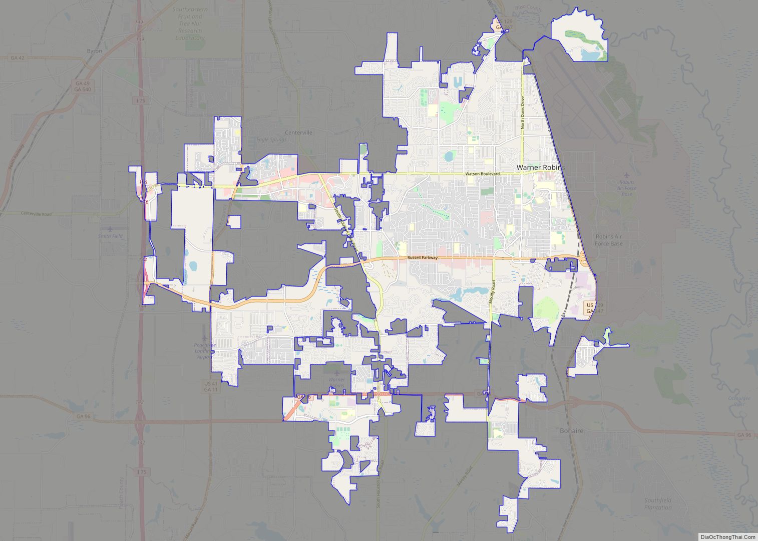
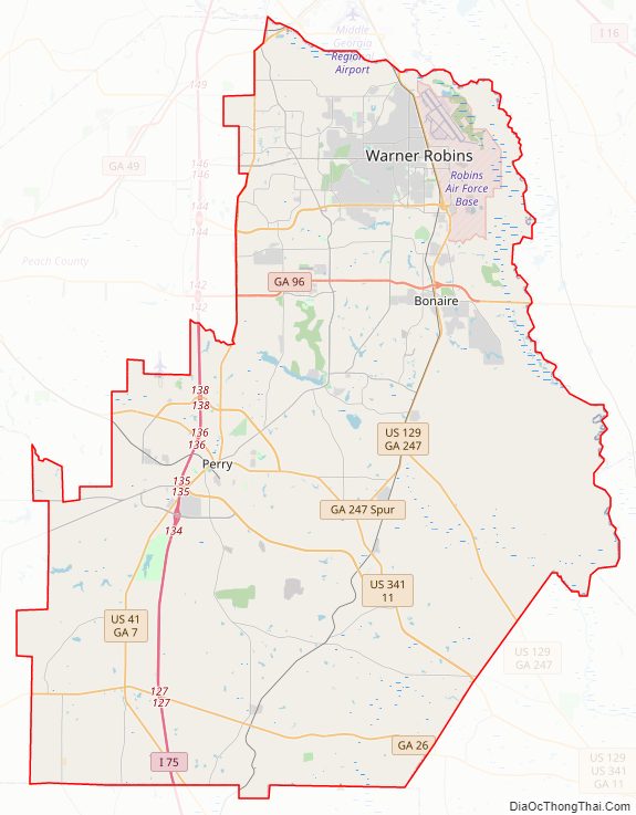
Houston County Road Map
Geography
According to the U.S. Census Bureau, the county has a total area of 380 square miles (980 km), of which 376 square miles (970 km) is land and 4.4 square miles (11 km) (1.2%) is water. The county is located in the upper Atlantic coastal plain region of the state.
The vast majority of Houston County is located in the Lower Ocmulgee River sub-basin of the Altamaha River basin. The very northern edge of the county, north of Centerville and Warner Robins, is located in the Upper Ocmulgee River sub-basin of the same Altamaha River basin. The very southwestern corner of Houston County, well west of Interstate 75, is located in the Middle Flint River sub-basin of the ACF River Basin (Apalachicola-Chattahoochee-Flint River Basin).
Adjacent counties
- Bibb County – north
- Peach County – west
- Twiggs County – east
- Bleckley County – southeast
- Pulaski County – south-southeast
- Dooly County – south
- Macon County – southwest
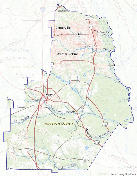
Houston County Topographic Map
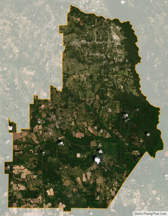
Houston County Satellite Map
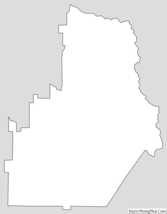
Houston County Outline Map