La Grande /ləˈɡrænd/ is a city in Union County, Oregon, United States. La Grande is Union County’s largest city, with a population of 13,082 at the time of the 2010 U.S. Census. The La Grande metro population is 25,076. It is the 16th largest metropolitan area in Oregon.
La Grande is located within the Grande Ronde Valley and is the only true valley in Oregon as it is surrounded by mountains. The Blue Mountains, Elkhorn Mountains, Eagle Cap Wilderness and Grande Ronde River offer abundance of natural resources and wildlife. Economically, it started as a logging and agriculture town but is now identified as a gateway for many outdoor sports, including mountain biking, fishing, hiking, camping, rock climbing, white-water rafting, skiing, paragliding, and golf.
It is the hub for surrounding communities offering outdoor recreation, shopping centers and entertainment. La Grande is known for its theater and arts as the downtown area boasts Liberty Theater and the Elgin Opera House often has local showings. La Grande also is a college town with a student population of 2,825 at Eastern Oregon University. A unique blend between urban and rural you can enjoy the cultural aspect of the local events and traditions while being able to escape to the remote wilderness within minutes. Popular outdoor activities include going to Mt. Emily Recreation Area (MERA) to ATV/Hike/Mountain Bike, or stopping at Hot Lakes Resort to soak in the natural hot springs or enjoy some fishing on the Grande Ronde or at Morgan Lake.
| Name: | La Grande city |
|---|---|
| LSAD Code: | 25 |
| LSAD Description: | city (suffix) |
| State: | Oregon |
| County: | Union County |
| Incorporated: | 1865 |
| Elevation: | 2,785 ft (849 m) |
| Total Area: | 4.59 sq mi (11.89 km²) |
| Land Area: | 4.58 sq mi (11.87 km²) |
| Water Area: | 0.01 sq mi (0.03 km²) |
| Total Population: | 13,026 |
| Population Density: | 2,842.86/sq mi (1,097.61/km²) |
| ZIP code: | 97850 |
| Area code: | 458 and 541 |
| FIPS code: | 4140350 |
| GNISfeature ID: | 1164107 |
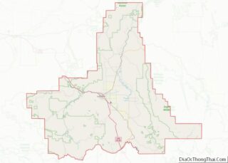
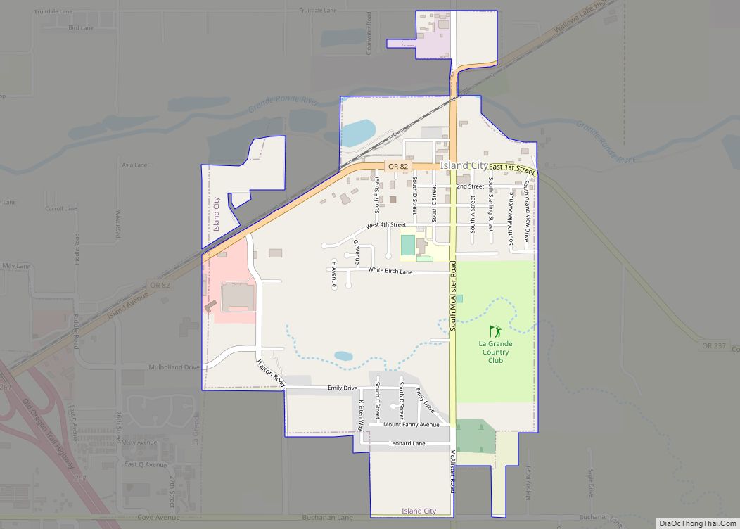
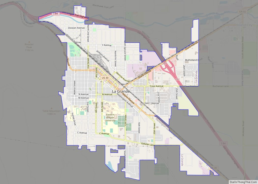
Online Interactive Map
Click on ![]() to view map in "full screen" mode.
to view map in "full screen" mode.
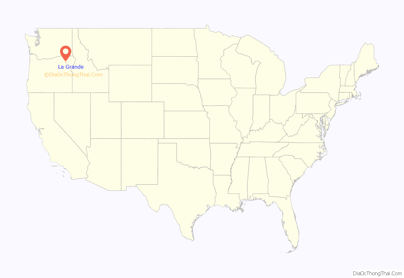
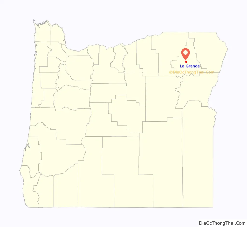
La Grande location map. Where is La Grande city?
History
Originally named “Brownsville,” it was forced to change its name because that name was being used for a city in Linn County. Located in the Grande Ronde Valley, the city’s name comes from an early French settler, Charles Dause, who often used the phrase “La Grande” to describe the area’s beauty. The population was 13,082 at the 2010 census. It is the county seat of Union County. La Grande lies east of the Blue Mountains and southeast of Pendleton.
Early settlement
The Grande Ronde Valley had long been a waypoint along the Oregon Trail. The first permanent settler in the La Grande area was Benjamin Brown in 1861. Not long after, the Leasey family and about twenty others settled there. The settlement was originally named after Ben Brown as Brown’s Fort, Brown’s Town, or Brownsville. There was already a Brownsville in Linn County, so when the post office was established in 1863, a more distinctive name was needed. It was decided to use “La Grande”, a phrase used by a Frenchman, Charles Dause, to describe the area’s scenic splendor. Before the post office was established, William Currey charged 50 cents a letter to carry the mail on horseback to and from the nearest post office, in Walla Walla, Washington. La Grande was incorporated as a city in 1865, and platted in 1868.
Growth
La Grande grew rapidly during the late 1860s and early 1870s, partially because of the region’s many gold mines and the valley’s agricultural capabilities. The early business establishments centered on C Avenue between present day Fourth Street and the hillside on the west end.
In 1884, the railroad came to the flat slightly east of “Old Town”. This helped the town to grow and gave rise to “New Town”, centered on Adams Avenue and built parallel to the railroad tracks.
By 1900, La Grande’s population was 2992, representing half of the population of Baker City.
La Grande’s Eastern Oregon University, formerly known as Eastern Oregon State College, began in 1929 as Eastern Oregon Normal School, a teachers college.
Sugar factory
La Grande had a factory for processing sugar beets into raw sugar. The sugar beets came from the nearby Mormon town of Nibley, Oregon, and both were owned by the Oregon Sugar Company. R. Doerstling, the superintendent of the factory in 1899, reported seeing a Native American teepee built out of used cloth filters from the factory.
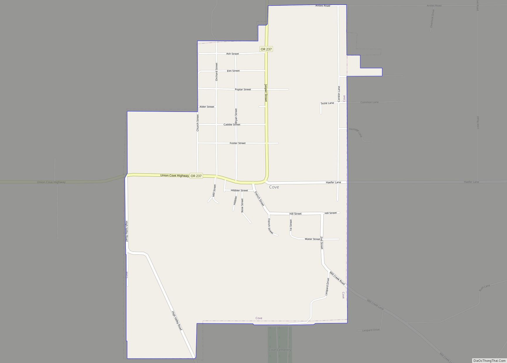
La Grande Road Map
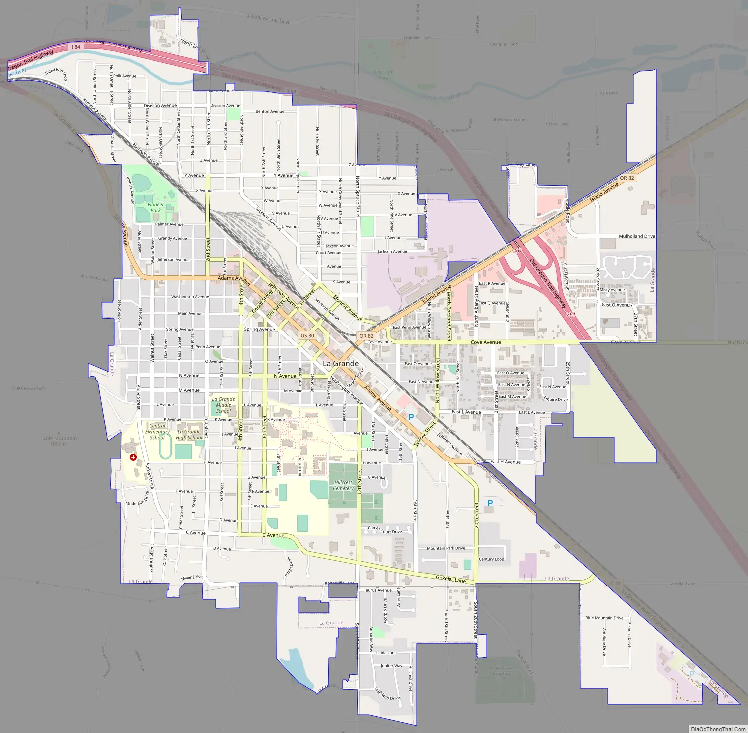
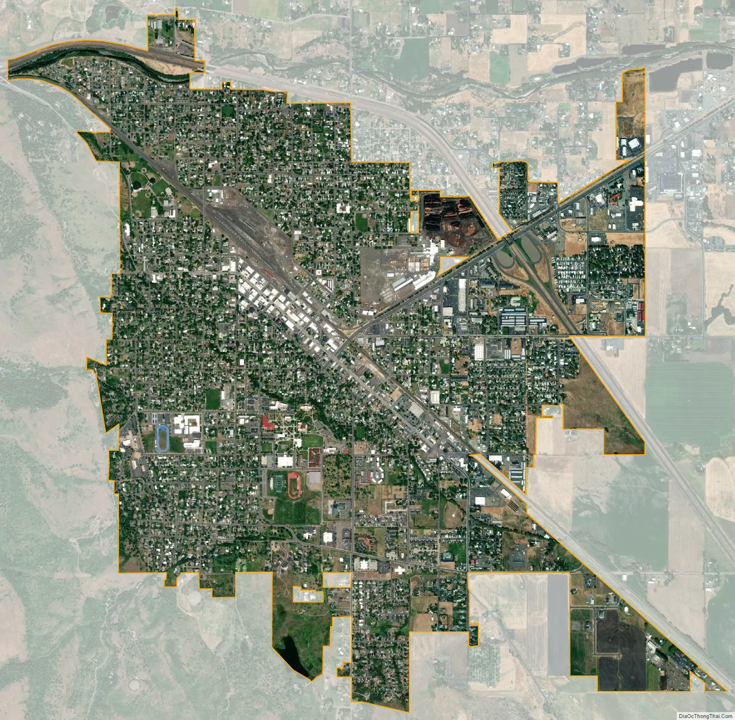
La Grande city Satellite Map
Geography
According to the United States Census Bureau, the city has a total area of 4.61 square miles (11.94 km), of which 4.58 square miles (11.86 km) is land and 0.03 square miles (0.08 km) is water. The town is a major hub in the valley. Mount Emily is a Grande Ronde Valley landmark towering over the city of La Grande to the north. It often features prominently on logos of local organizations and is matched on the other side of the valley by a similar landmark, Mount Harris.
Climate
Under the Köppen climate classification system, La Grande features a warm-summer Mediterranean climate (Köppen Csb), closely bordering on a hot-summer Mediterranean climate (Köppen Csa). This climate type is characterized by warm, dry summers and cold winters.
See also
Map of Oregon State and its subdivision: Map of other states:- Alabama
- Alaska
- Arizona
- Arkansas
- California
- Colorado
- Connecticut
- Delaware
- District of Columbia
- Florida
- Georgia
- Hawaii
- Idaho
- Illinois
- Indiana
- Iowa
- Kansas
- Kentucky
- Louisiana
- Maine
- Maryland
- Massachusetts
- Michigan
- Minnesota
- Mississippi
- Missouri
- Montana
- Nebraska
- Nevada
- New Hampshire
- New Jersey
- New Mexico
- New York
- North Carolina
- North Dakota
- Ohio
- Oklahoma
- Oregon
- Pennsylvania
- Rhode Island
- South Carolina
- South Dakota
- Tennessee
- Texas
- Utah
- Vermont
- Virginia
- Washington
- West Virginia
- Wisconsin
- Wyoming