Union is a city in Union County, Oregon, United States, originally platted in 1864, and located 15 miles (24 km) southeast of La Grande. It is the namesake of Union County, which references the Union states, or Northern States, of the American Civil War. The population was 2,152 at the 2020 census. The city is known for the numerous historic Victorian homes that line its Main Street, some of which are registered on the National Register of Historic Places. It is also home to Oregon State University’s Eastern Oregon Agricultural Research Center, founded in 1888, which is contemporarily housed in the former Union train station.
| Name: | Union city |
|---|---|
| LSAD Code: | 25 |
| LSAD Description: | city (suffix) |
| State: | Oregon |
| County: | Union County |
| Incorporated: | 1878 |
| Elevation: | 2,791 ft (851 m) |
| Total Area: | 2.49 sq mi (6.45 km²) |
| Land Area: | 2.49 sq mi (6.45 km²) |
| Water Area: | 0.00 sq mi (0.00 km²) |
| Total Population: | 2,152 |
| Population Density: | 864.60/sq mi (333.84/km²) |
| ZIP code: | 97883 |
| Area code: | 541 |
| FIPS code: | 4175850 |
| GNISfeature ID: | 1128409 |
| Website: | www.cityofunion.com |
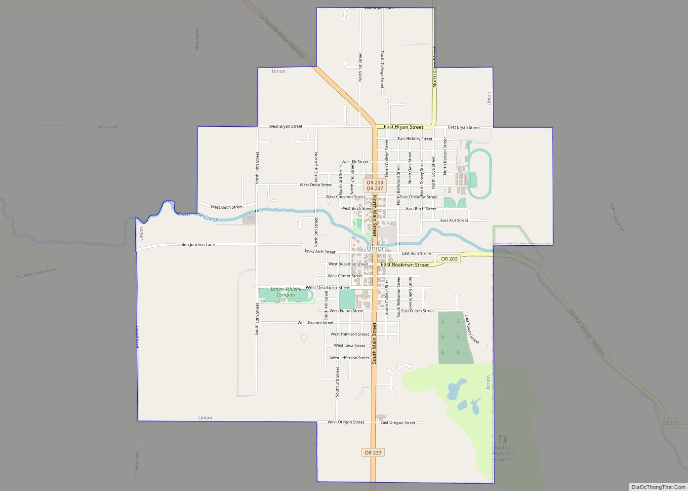
Online Interactive Map
Click on ![]() to view map in "full screen" mode.
to view map in "full screen" mode.
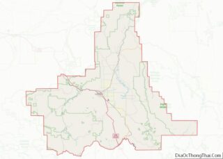
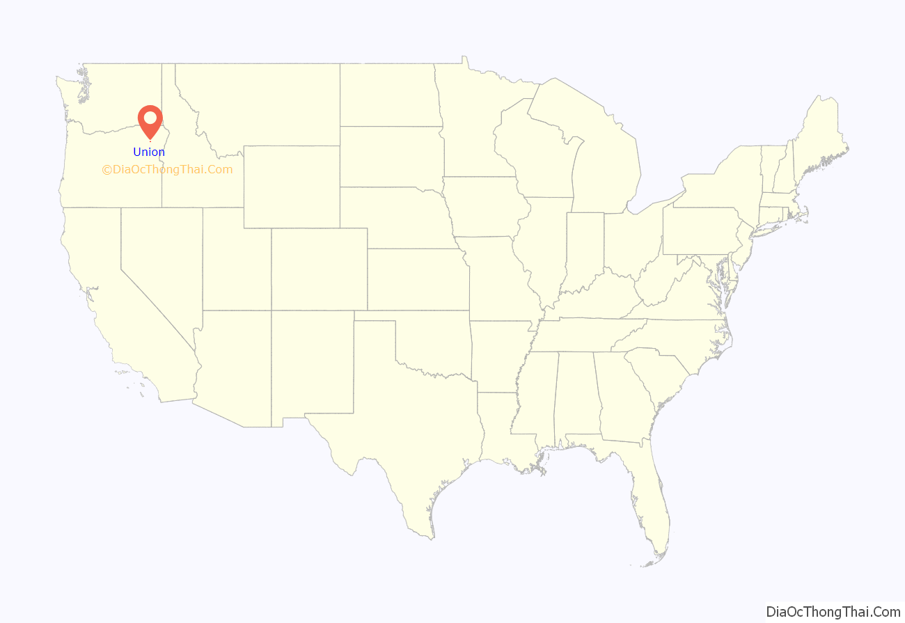
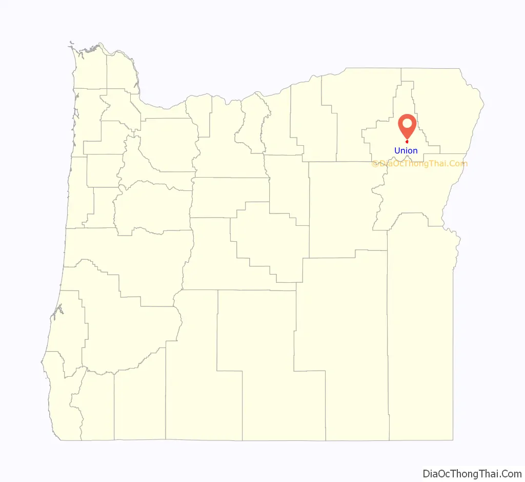
Union location map. Where is Union city?
History
Union was platted on November 11, 1864 along the Oregon Trail. The name references the Union states, or Northern States, of the American Civil War.
La Grande was named the county seat when Union County was created in 1865. Due to the Thomas and Ruckle Road going through Union, it elected the county seat in 1872, but when the railroad was built it was put through La Grande instead of Union. La Grande became the bigger town within the county and regained the county seat in 1902. J. W. Shelton, a local attorney, chartered the Union Electric Power and Light Company in March 1890 to bring the railroad from Union Junction (2.5 miles away) to Union itself. The company was renamed the Union Railway Company in July 1890, and the rail spur was built into Union by August 1892. Shelton planned to build more lines, had a fight with his company partners (the Hutchinsons), then two competing firms were formed: Shelton’s The Union Railway in January 1893, and Hutchinsons’ Union Street Railway and Suburban Railway. Both companies competed to buy the Union Railway Company. Shelton maintained control until August 1905, when The Union Railway was renamed to the Union, Cove and Valley Railway. This company was bought the following year by a timber company from the East Coast.
During the 2006 November elections, Kyle Corbin, an 18-year-old college student, was elected mayor after a successful write-in campaign. He had promised to bring an end to the political chaos that had plagued the town for the last two years, which included three councilmen and mayor Deborah Clark being removed in recall elections. “I know the procedures and rules,” he told an Oregonian reporter. “I’ve run a meeting with a bunch of high school kids.” Since then, one newspaper reports that “talk around town about whether the young mayor will succeed ranges from skepticism to sunny optimism.”
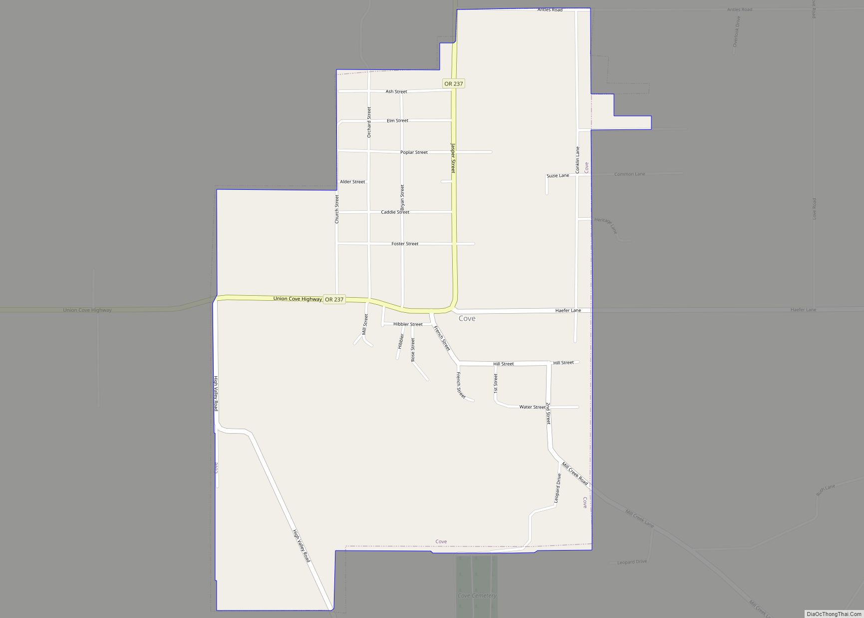
Union Road Map
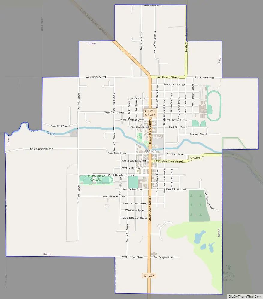
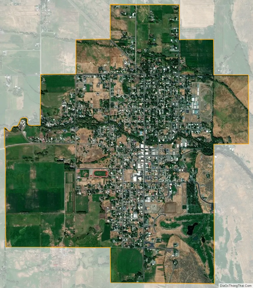
Union city Satellite Map
Geography
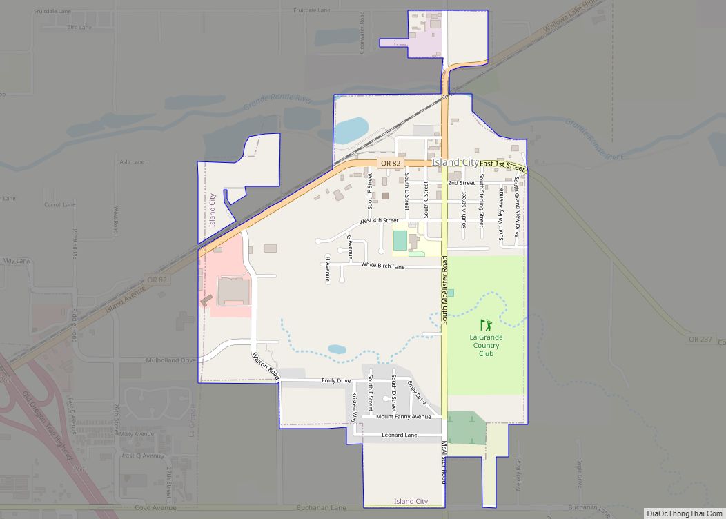
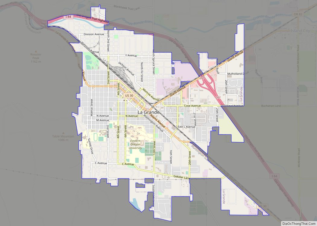
Union lies in the extreme southeast corner of the Grande Ronde Valley near the western edge of the Wallowa Mountains. Oregon Route 237 runs through the city between Cove to the north and North Powder to the south. Oregon Route 203 also passes through Union, linking it to La Grande, about 20 miles (32 km) to the northwest. Catherine Creek, a tributary of the Grande Ronde River, passes through the city.
According to the United States Census Bureau, the city has a total area of 2.50 square miles (6.47 km), all of it land.
See also
Map of Oregon State and its subdivision: Map of other states:- Alabama
- Alaska
- Arizona
- Arkansas
- California
- Colorado
- Connecticut
- Delaware
- District of Columbia
- Florida
- Georgia
- Hawaii
- Idaho
- Illinois
- Indiana
- Iowa
- Kansas
- Kentucky
- Louisiana
- Maine
- Maryland
- Massachusetts
- Michigan
- Minnesota
- Mississippi
- Missouri
- Montana
- Nebraska
- Nevada
- New Hampshire
- New Jersey
- New Mexico
- New York
- North Carolina
- North Dakota
- Ohio
- Oklahoma
- Oregon
- Pennsylvania
- Rhode Island
- South Carolina
- South Dakota
- Tennessee
- Texas
- Utah
- Vermont
- Virginia
- Washington
- West Virginia
- Wisconsin
- Wyoming