Ontario is a city in southwestern San Bernardino County in the U.S. state of California, 35 miles (56 km) east of downtown Los Angeles and 23 miles (37 km) west of downtown San Bernardino, the county seat. Located in the western part of the Inland Empire metropolitan area, it lies just east of Los Angeles County and ... Read more
California Cities and Places
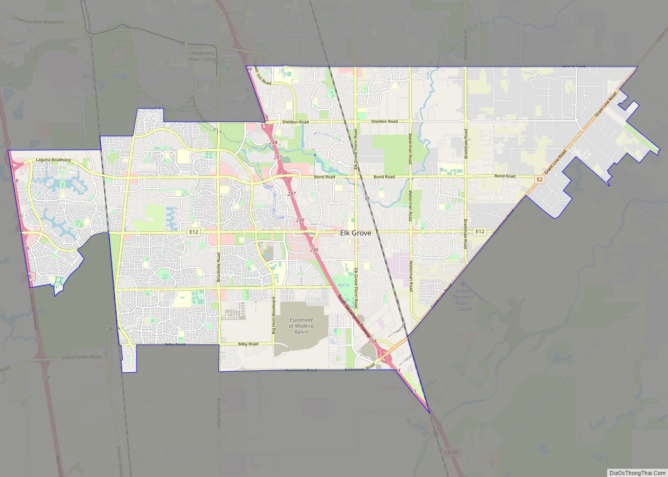
Elk Grove is a city in Sacramento County, California, United States. Located just south of the state capital of Sacramento, it is part of the Sacramento–Arden-Arcade–Roseville Metropolitan Statistical Area. As of the 2020 Census, the population of the city was 176,124. A 2021 Census estimate puts the population of the city at 178,997. Elk Grove ... Read more
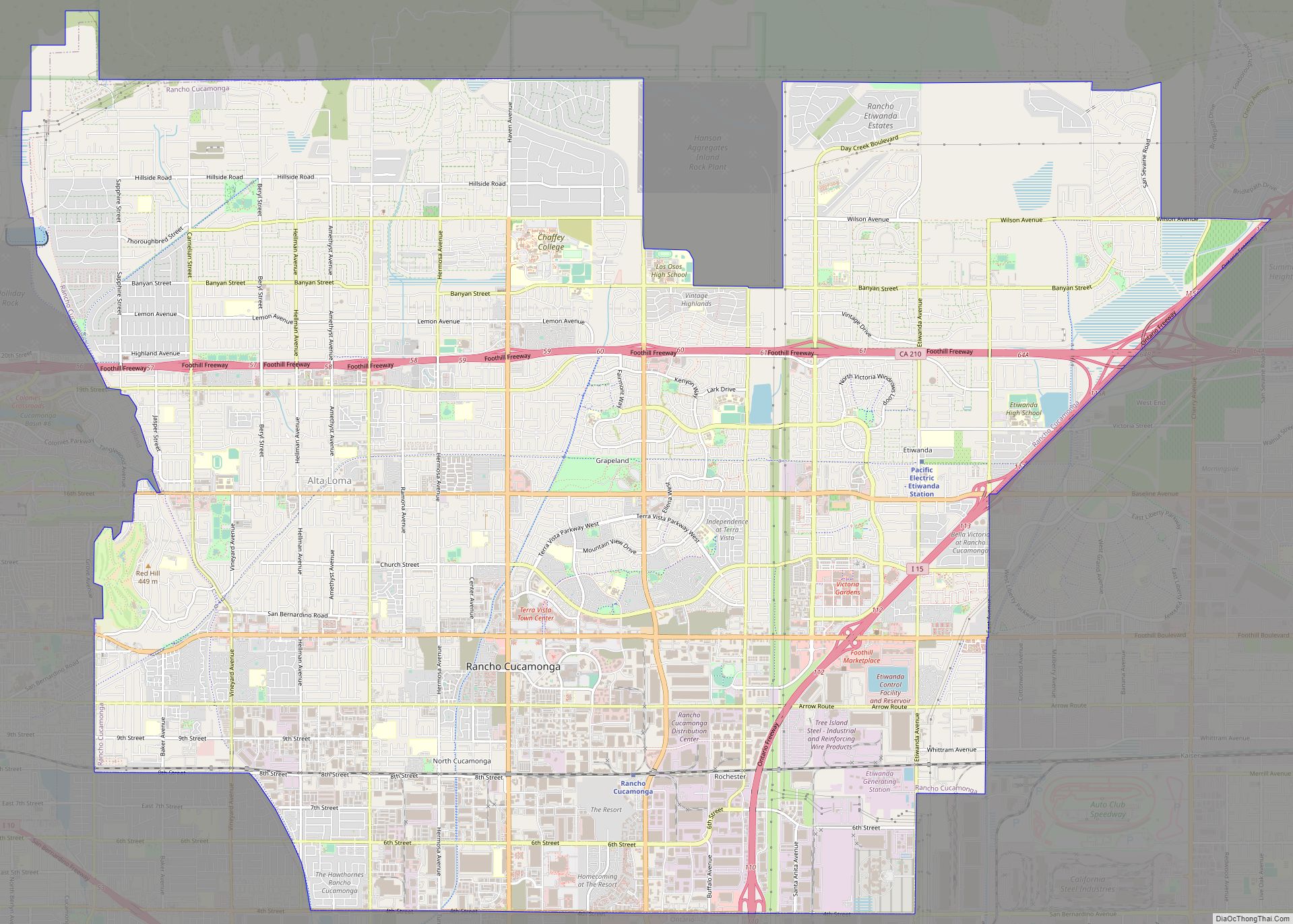
Rancho Cucamonga (/ˌræntʃoʊ kuːkəˈmʌŋɡə/ RAN-choh KOO-kə-MUNG-gə) is a city located just south of the foothills of the San Gabriel Mountains and Angeles National Forest in San Bernardino County, California, United States. About 37 mi (60 km) east of Downtown Los Angeles, Rancho Cucamonga is the 28th most populous city in California. The city’s seal, which centers on ... Read more
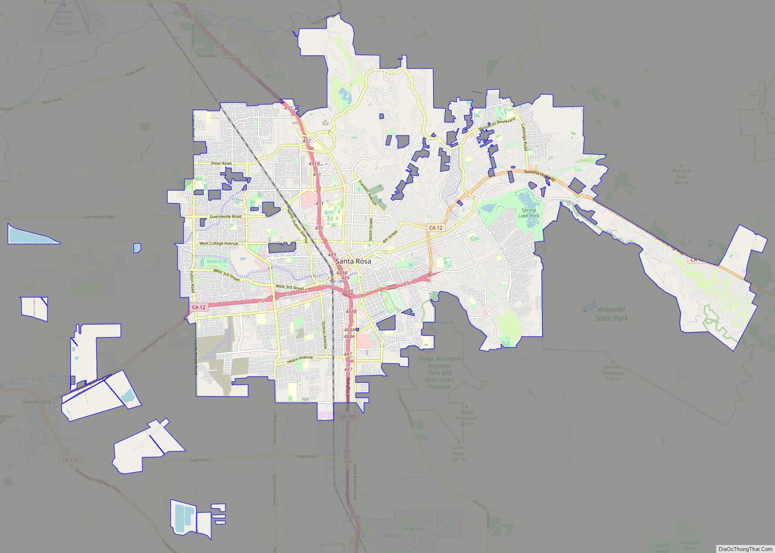
Santa Rosa (Spanish for “Saint Rose”) is a city and the county seat of Sonoma County, in the North Bay region of the Bay Area in California. Its population as of the 2020 census was 178,127. It is the largest city in California’s Wine Country and Redwood Coast. It is the fifth most populous city ... Read more
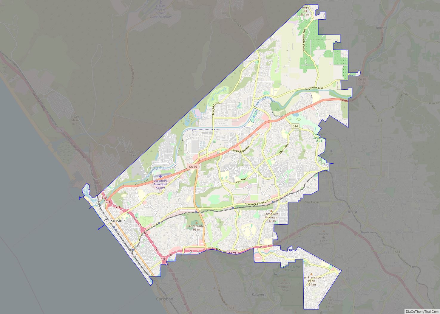
Oceanside is a city on the South Coast of California, located in San Diego County. The city had a population of 174,068 at the 2020 United States census, up from 167,086 at the 2010 census. The city is a popular tourist destination, owing to its historic landmarks, beaches, and architecture. Oceanside’s origins date to 1798, ... Read more
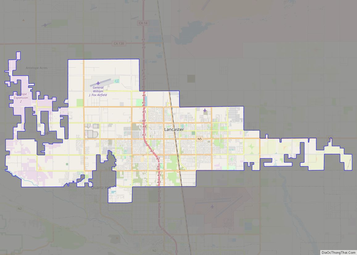
Lancaster /ˈlæŋ.kæstər/ is a charter city in northern Los Angeles County, in the Antelope Valley of the western Mojave Desert in Southern California. As of the 2020 census, the population was 173,516, making Lancaster the 153rd largest city in the United States and the 30th largest in California. Lancaster is a twin city with its ... Read more
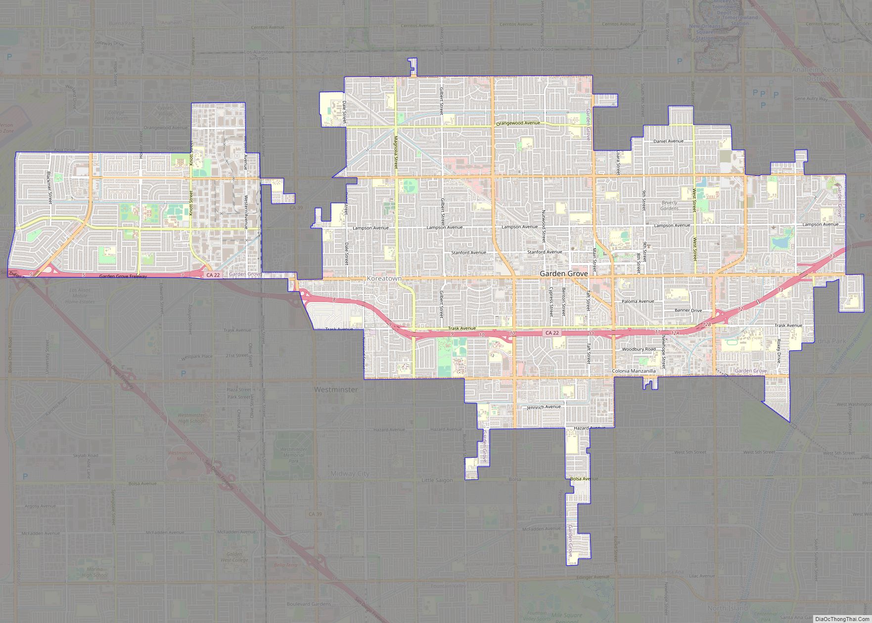
Garden Grove is a city in northern Orange County, California, United States. The population was 171,949 at the 2020 census. State Route 22, also known as the Garden Grove Freeway, passes through the city in an east–west direction. The western portion of the city is known as West Garden Grove. Garden Grove city overview: Name: ... Read more
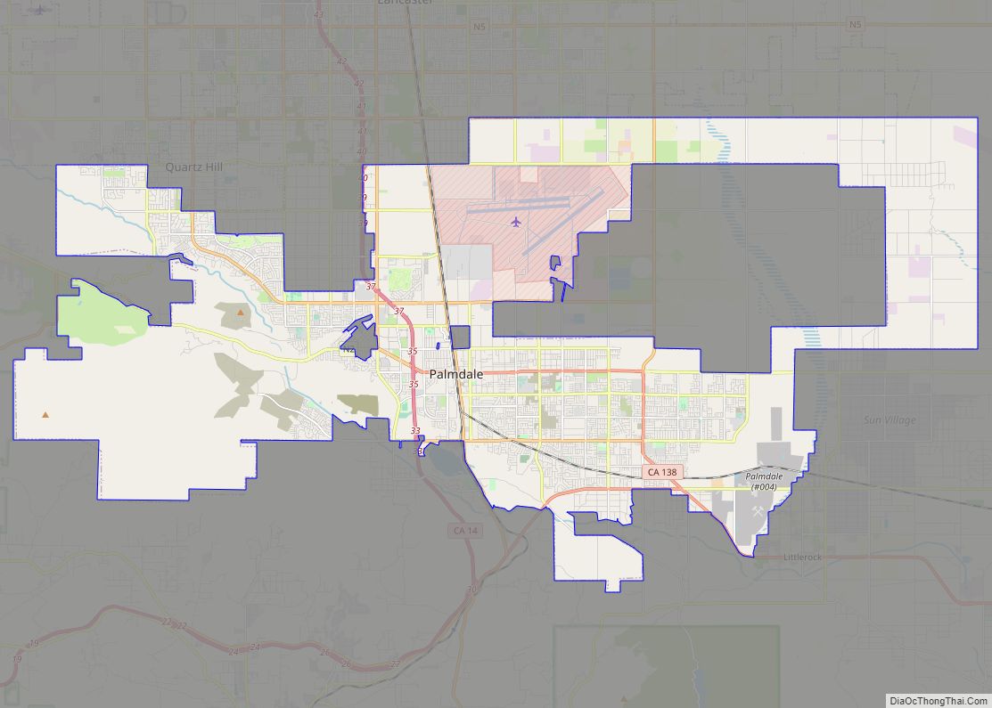
Palmdale is a city in northern Los Angeles County in the U.S. state of California. The city lies in the Antelope Valley of Southern California. The San Gabriel Mountains separate Palmdale from the Los Angeles Basin to the south. On August 24, 1962, Palmdale became the first city in Antelope Valley. Forty-seven years later, in ... Read more
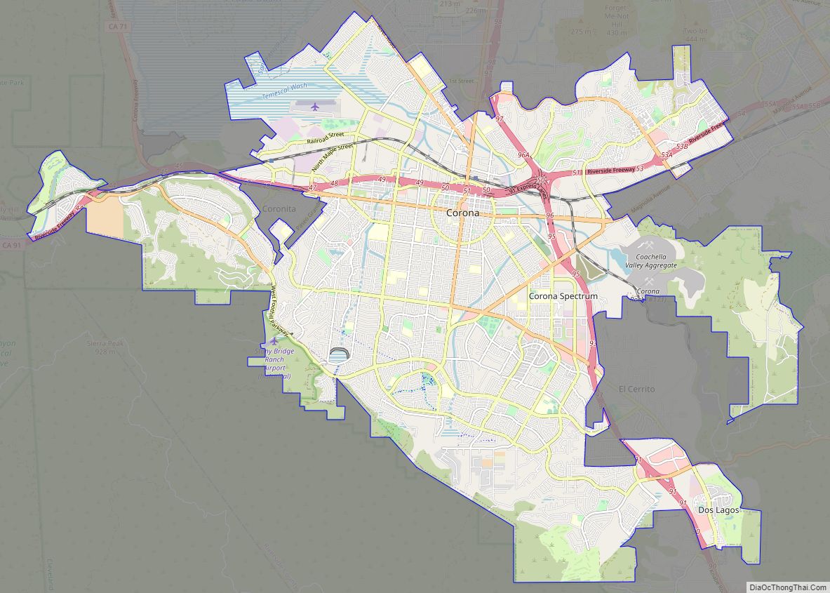
Corona (Spanish for “Crown”) is a city in northwestern Riverside County, California, United States. At the 2020 census, the city had a population of 157,136, up from 152,374 at the 2010 census. The cities of Norco and Riverside lie to the north and northeast, Chino Hills and Yorba Linda to the northwest, Anaheim to the ... Read more
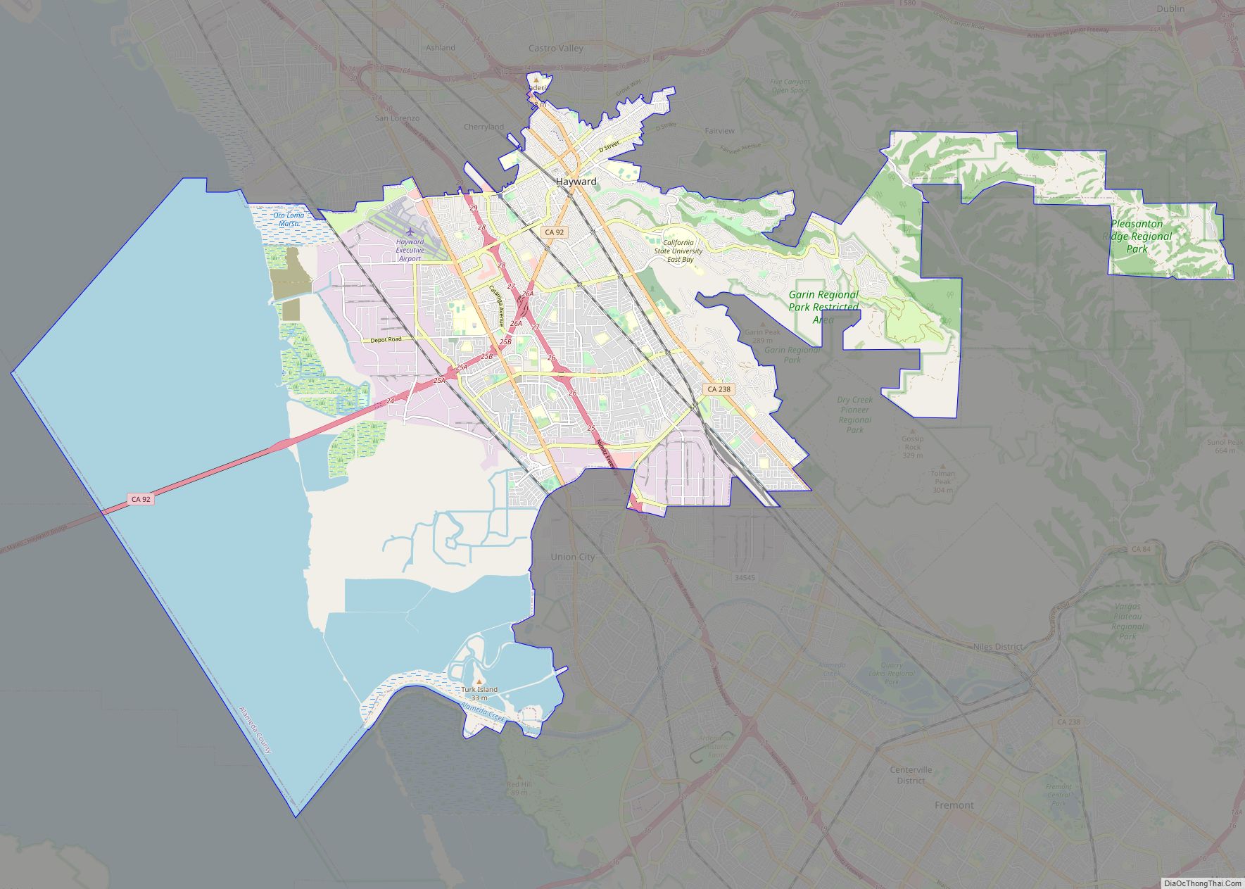
Hayward (/ˈheɪwərd/) is a city located in Alameda County, California in the East Bay subregion of the San Francisco Bay Area. With a population of 162,954 as of 2020, Hayward is the sixth largest city in the Bay Area and the third largest in Alameda County. Hayward was ranked as the 34th most populous municipality ... Read more
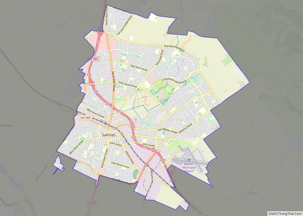
Salinas (/səˈliːnəs/; Spanish for “Salt Marsh or Salt Flats”) is a city in California and the county seat of Monterey County. With a population of 163,542 in the 2020 Census, Salinas is the most populous city in Monterey County. Salinas is an urban area located along the eastern limits of the Monterey Bay Area, lying ... Read more
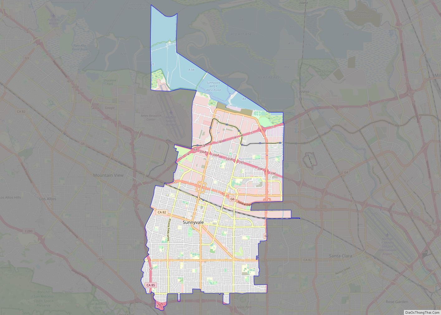
Sunnyvale (/ˈsʌniveɪl, vəl/) is a city located in the Santa Clara Valley in northwest Santa Clara County in the U.S. state of California. Sunnyvale lies along the historic El Camino Real and Highway 101 and is bordered by portions of San Jose to the north, Moffett Federal Airfield and NASA Ames Research Center to the ... Read more

