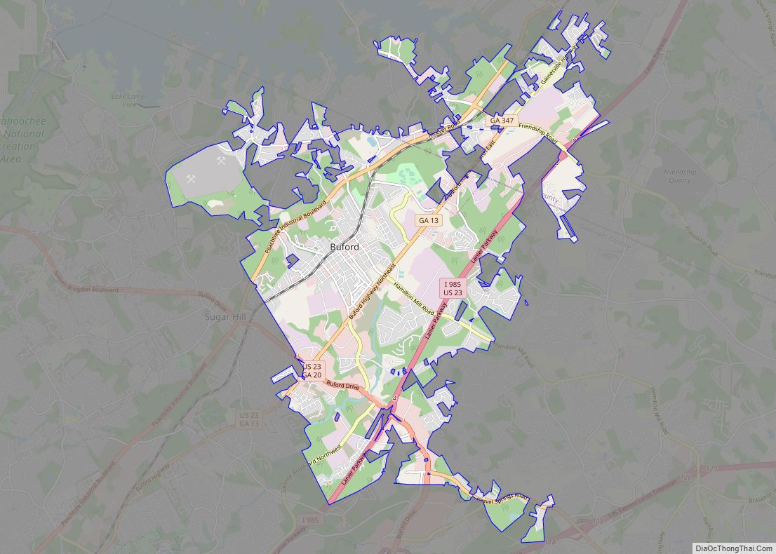
Buford is a city in Gwinnett and Hall counties in the U.S. state of Georgia. As of the 2020 census, the city had a population of 17,144. Most of the city is in Gwinnett County, which is part of the Atlanta-Sandy Springs-Marietta Metropolitan Statistical Area. The northern sliver of the city is in Hall County, ... Read more
Georgia Cities and Places
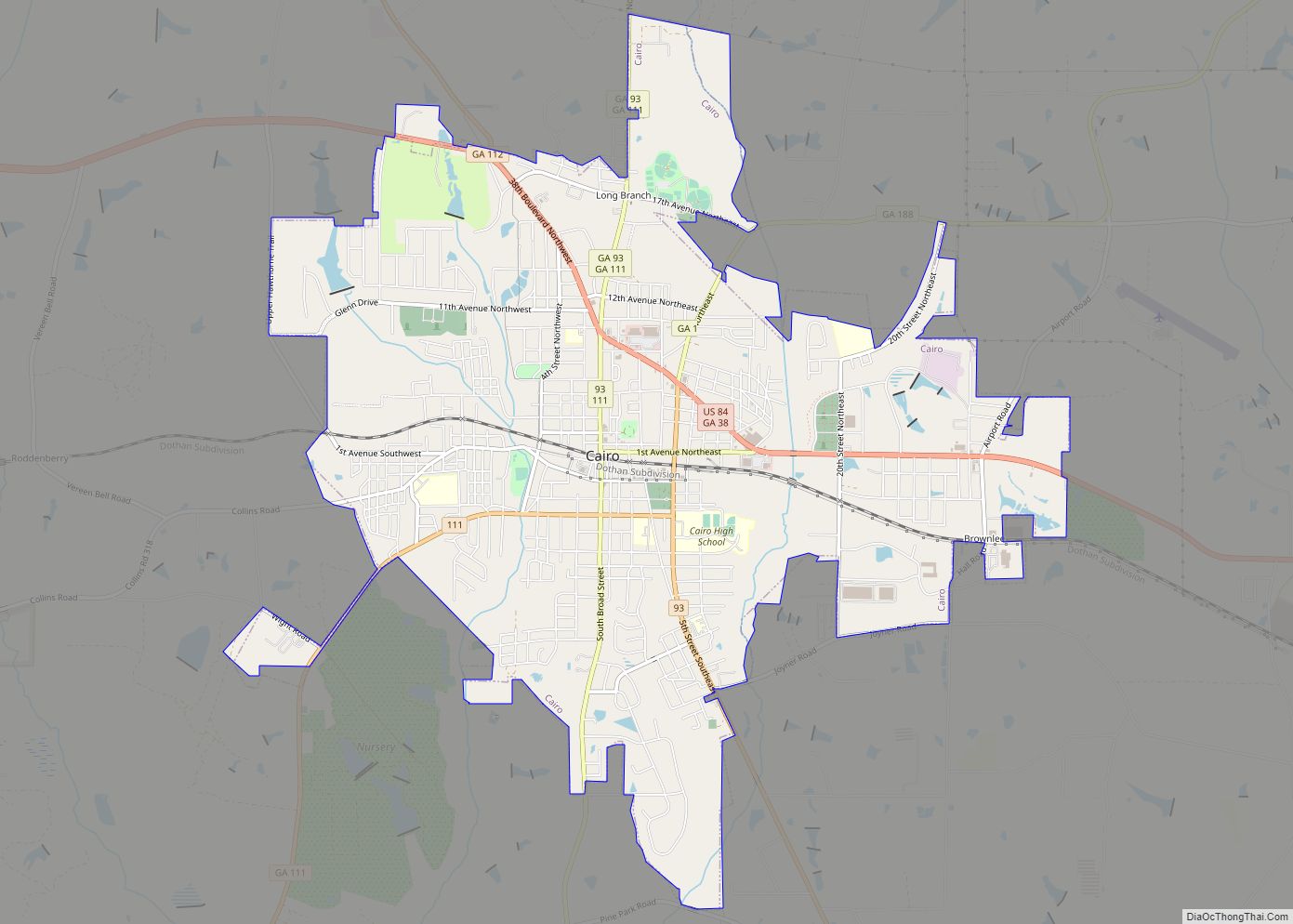
Cairo (/ˈkeɪroʊ/) is a city in Grady County, Georgia, United States. As of the 2020 census, the city had a population of 10,179. The city is the county seat of Grady County. Cairo city overview: Name: Cairo city LSAD Code: 25 LSAD Description: city (suffix) State: Georgia County: Grady County Elevation: 243 ft (74 m) Total Area: ... Read more
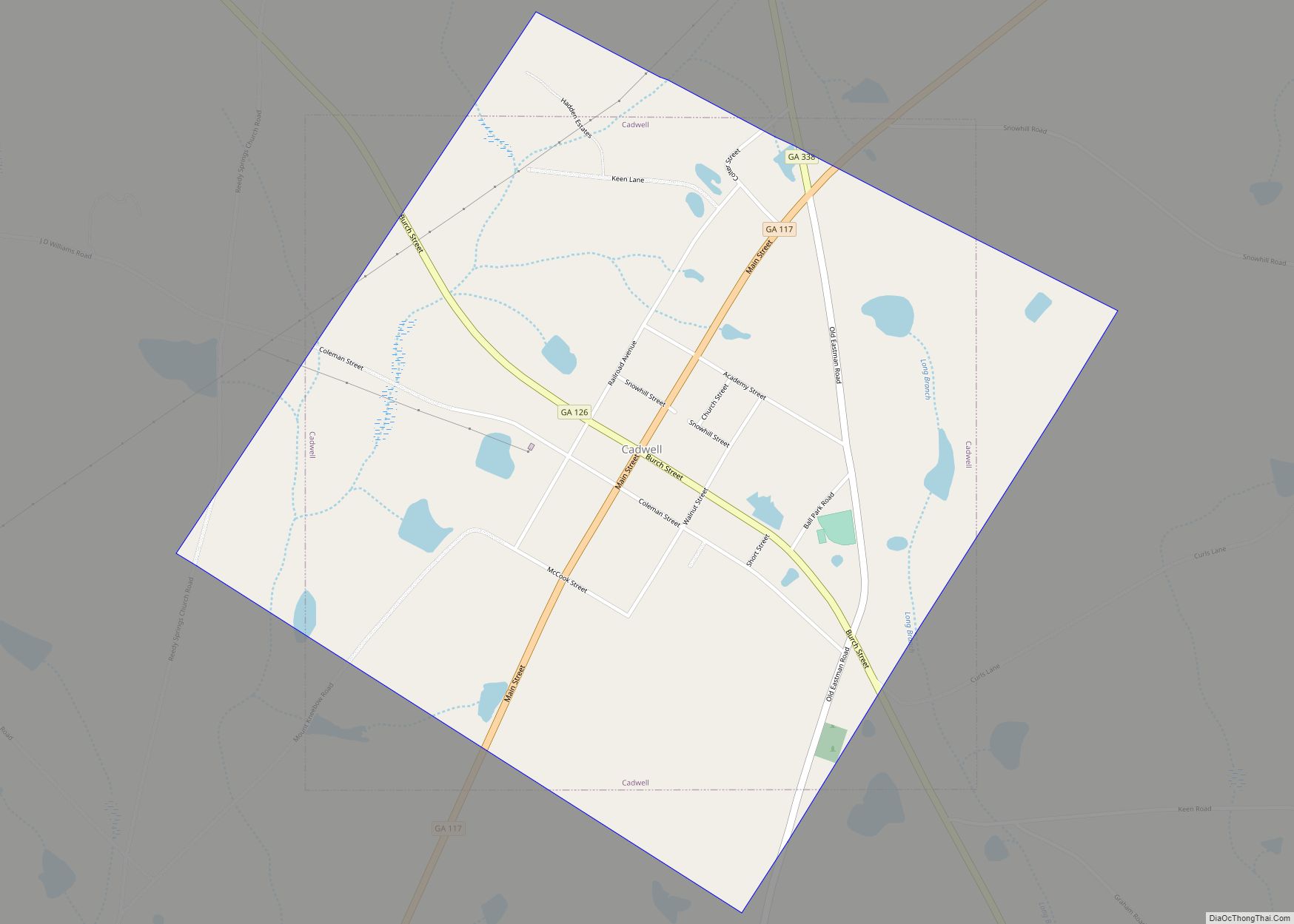
Cadwell is a town in Laurens County, Georgia, United States. The population was 528 at the 2010 census, up from 329 at the 2000 census. It is part of the Dublin Micropolitan Statistical Area. Cadwell town overview: Name: Cadwell town LSAD Code: 43 LSAD Description: town (suffix) State: Georgia County: Laurens County Elevation: 394 ft (120 m) ... Read more
Byron is a city located primarily in Peach County, Georgia, United States. A small portion of the city also extends into parts of Houston and Crawford counties. The population was estimated to be 5,149 in 2019 by the Census Bureau, an increasing of 14.1% from 4,512 at the 2010 census. The city is in the ... Read more
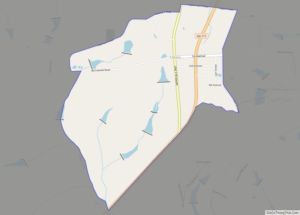
Calvary is a census-designated place and unincorporated community in Grady County, Georgia, United States. As of the 2010 census its population was 161. It is located along Georgia State Route 111, 15 miles (24 km) southwest of Cairo, the Grady County seat. Tallahassee, Florida, is 23 miles (37 km) to the south. Agriculture is an important part ... Read more
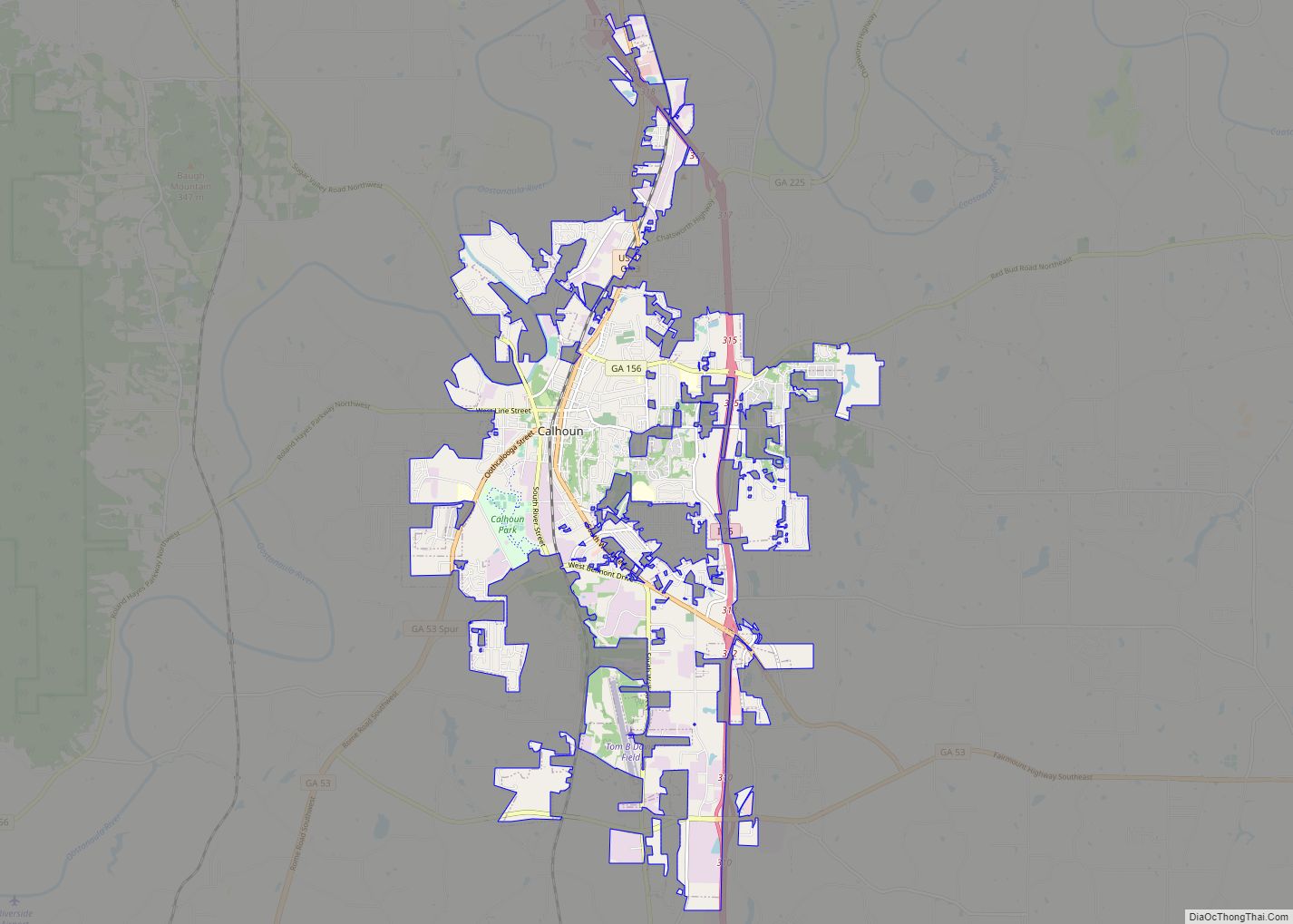
Calhoun is a city in Gordon County, Georgia, United States. As of the 2020 census, the city had a population of 16,949. Calhoun is the county seat of Gordon County. Calhoun city overview: Name: Calhoun city LSAD Code: 25 LSAD Description: city (suffix) State: Georgia County: Gordon County Elevation: 659 ft (201 m) Total Area: 16.11 sq mi (41.72 km²) ... Read more
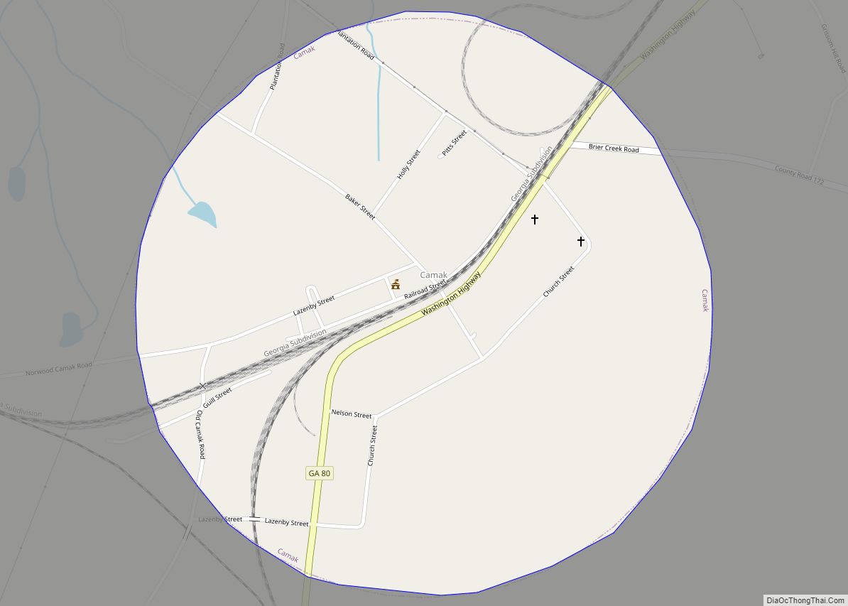
Camak is a town in Warren County, Georgia, United States. The town is located just off Interstate 20 between Atlanta and Augusta. The population was 165 at the 2000 census. Camak town overview: Name: Camak town LSAD Code: 43 LSAD Description: town (suffix) State: Georgia County: Warren County Elevation: 581 ft (177 m) Total Area: 0.79 sq mi (2.06 km²) ... Read more
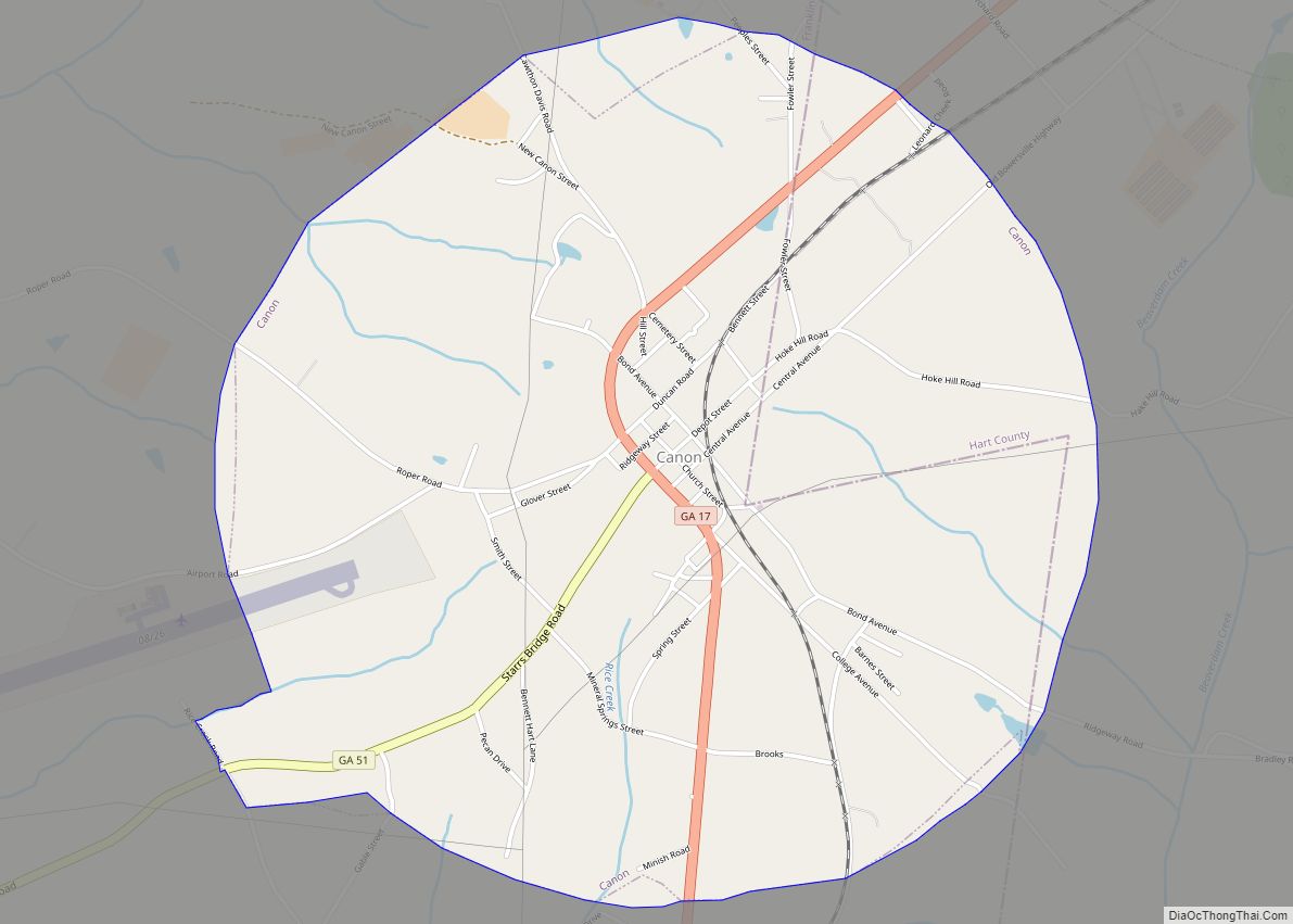
Canon is a city in Franklin and Hart counties in the U.S. state of Georgia. The population was 804 at the 2010 census. Canon city overview: Name: Canon city LSAD Code: 25 LSAD Description: city (suffix) State: Georgia County: Franklin County, Hart County Elevation: 919 ft (280 m) Total Area: 3.13 sq mi (8.10 km²) Land Area: 3.12 sq mi (8.08 km²) Water ... Read more
Candler-McAfee is a census-designated place in unincorporated DeKalb County, Georgia, United States. It is located east of Atlanta approximately 10 miles (16 km) east of Downtown Atlanta and to the south of Decatur, Georgia The population was 23,025 at the 2010 census. Candler-McAfee CDP overview: Name: Candler-McAfee CDP LSAD Code: 57 LSAD Description: CDP (suffix) State: ... Read more
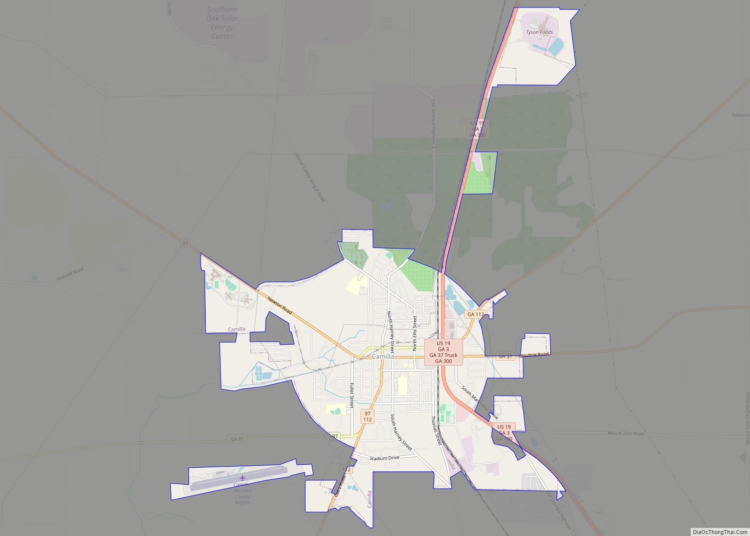
Camilla is a city in Mitchell County, Georgia, United States, and is its county seat. As of the 2020 census, the city had a population of 5,187, down from 5,360 in 2010. Camilla city overview: Name: Camilla city LSAD Code: 25 LSAD Description: city (suffix) State: Georgia County: Mitchell County Elevation: 177 ft (54 m) Total Area: ... Read more
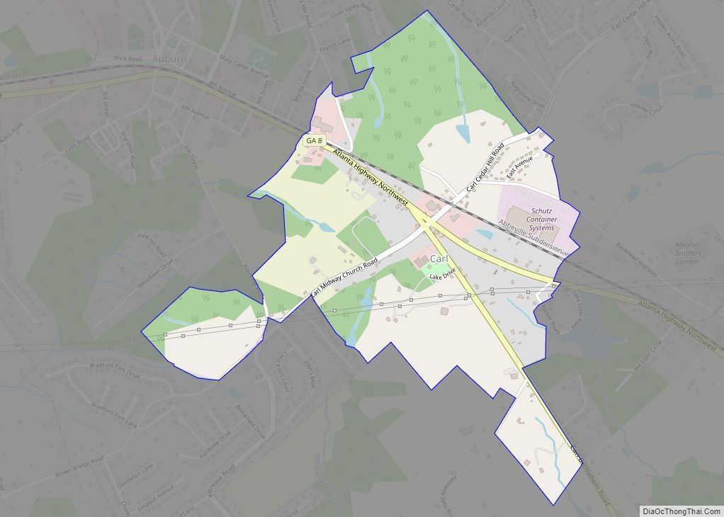
Carl is a town in Barrow County, Georgia, United States. The population was 269 at the 2016 census. Carl town overview: Name: Carl town LSAD Code: 43 LSAD Description: town (suffix) State: Georgia County: Barrow County Elevation: 1,079 ft (329 m) Total Area: 1.09 sq mi (2.84 km²) Land Area: 1.09 sq mi (2.81 km²) Water Area: 0.01 sq mi (0.02 km²) Total Population: 209 Population ... Read more
Canton is a city in and the county seat of Cherokee County, Georgia, United States. As of the 2010 census, the city had a population of 22,958, up from 7,709 in 2000. Canton city overview: Name: Canton city LSAD Code: 25 LSAD Description: city (suffix) State: Georgia County: Cherokee County Elevation: 968 ft (295 m) Total Area: ... Read more
