Byron is a city located primarily in Peach County, Georgia, United States. A small portion of the city also extends into parts of Houston and Crawford counties. The population was estimated to be 5,149 in 2019 by the Census Bureau, an increasing of 14.1% from 4,512 at the 2010 census. The city is in the Warner Robins Metropolitan Statistical Area.
Byron was home to the Middle Georgia Raceway, an auto racetrack that hosted NASCAR races and the filming of TV commercials and a feature movie. From July 3–5, 1970, in a field next to the raceway, the Atlanta International Pop Festival was held, which was the largest gathering in Georgia history until the 1996 Olympics in Atlanta. On September 15, 2012, an official Georgia Historical Society marker was placed near the raceway site to commemorate the festival.
| Name: | Byron city |
|---|---|
| LSAD Code: | 25 |
| LSAD Description: | city (suffix) |
| State: | Georgia |
| County: | Houston County, Peach County |
| Elevation: | 509 ft (155 m) |
| Total Area: | 8.79 sq mi (22.77 km²) |
| Land Area: | 8.77 sq mi (22.70 km²) |
| Water Area: | 0.02 sq mi (0.06 km²) |
| Total Population: | 5,702 |
| Population Density: | 650.47/sq mi (251.15/km²) |
| ZIP code: | 31008 |
| Area code: | 478 |
| FIPS code: | 1312260 |
| GNISfeature ID: | 0354930 |
| Website: | byronga.com |
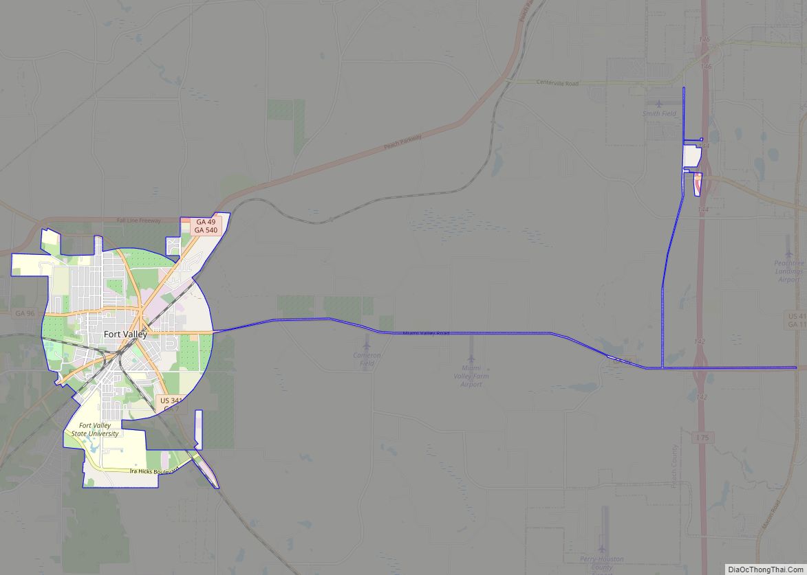
Online Interactive Map
Click on ![]() to view map in "full screen" mode.
to view map in "full screen" mode.
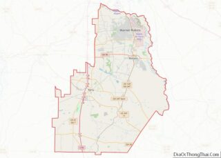
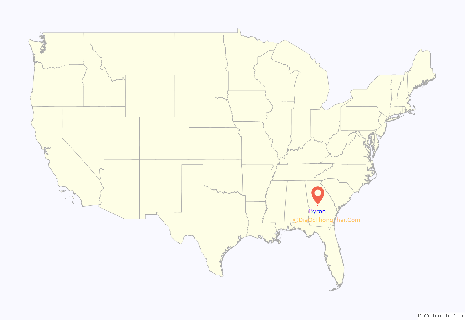
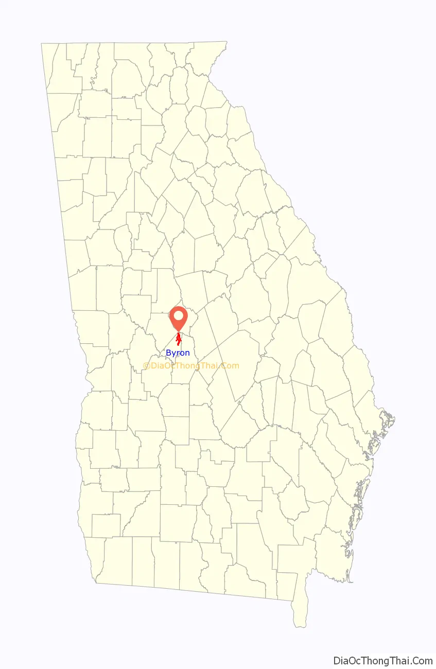
Byron location map. Where is Byron city?
History
The community was named after Lord Byron, the British Romantic poet. A former variant name was “Jackson”, but the name was changed in order to avoid repetition with the Jackson in Butts County. The Georgia General Assembly incorporated the place as the “Town of Byron” in 1874.
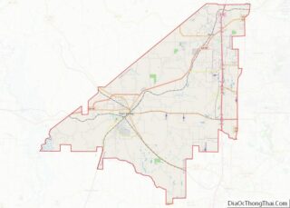
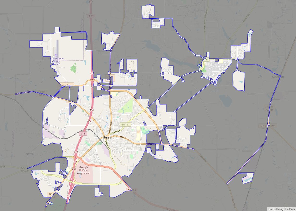
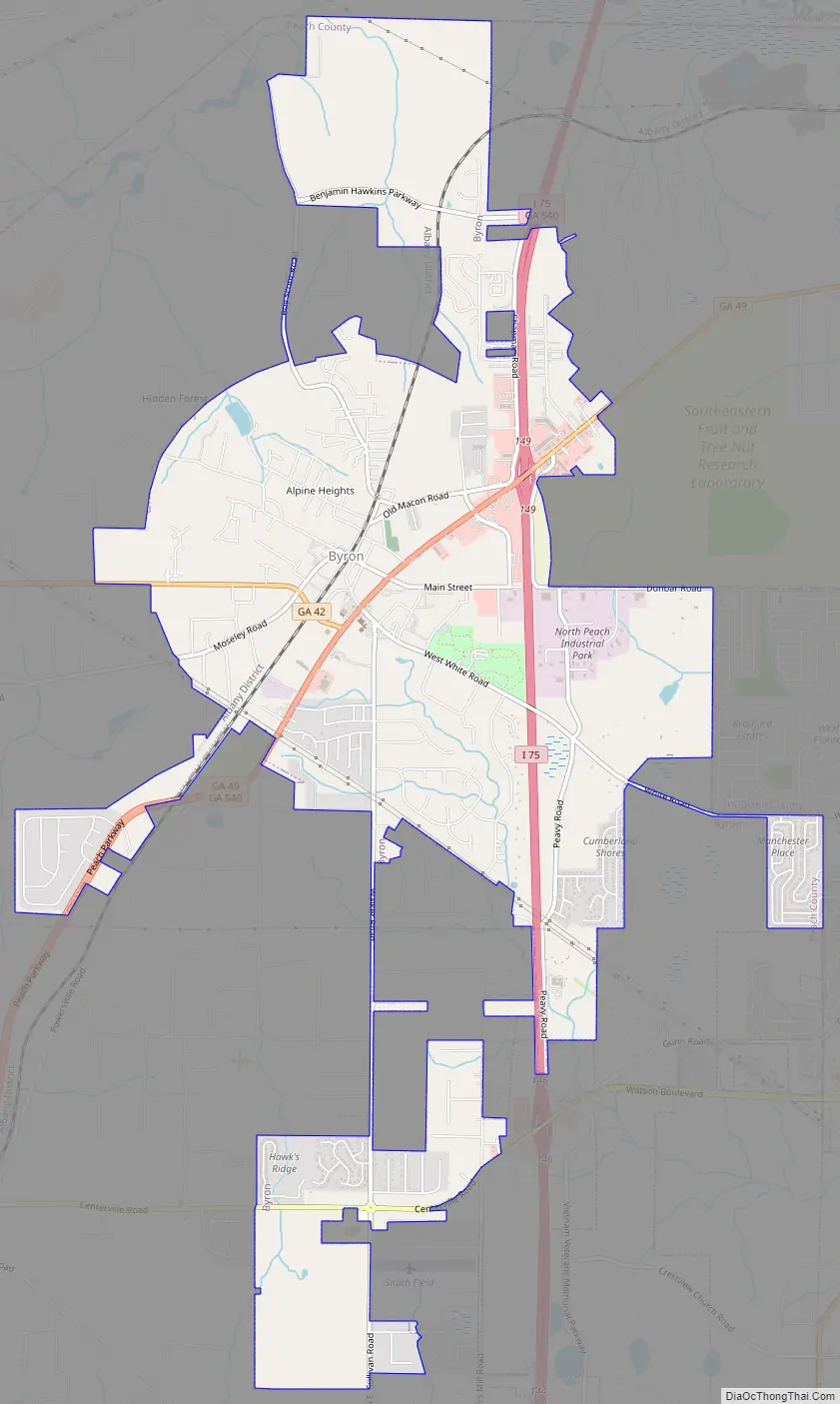
Byron Road Map
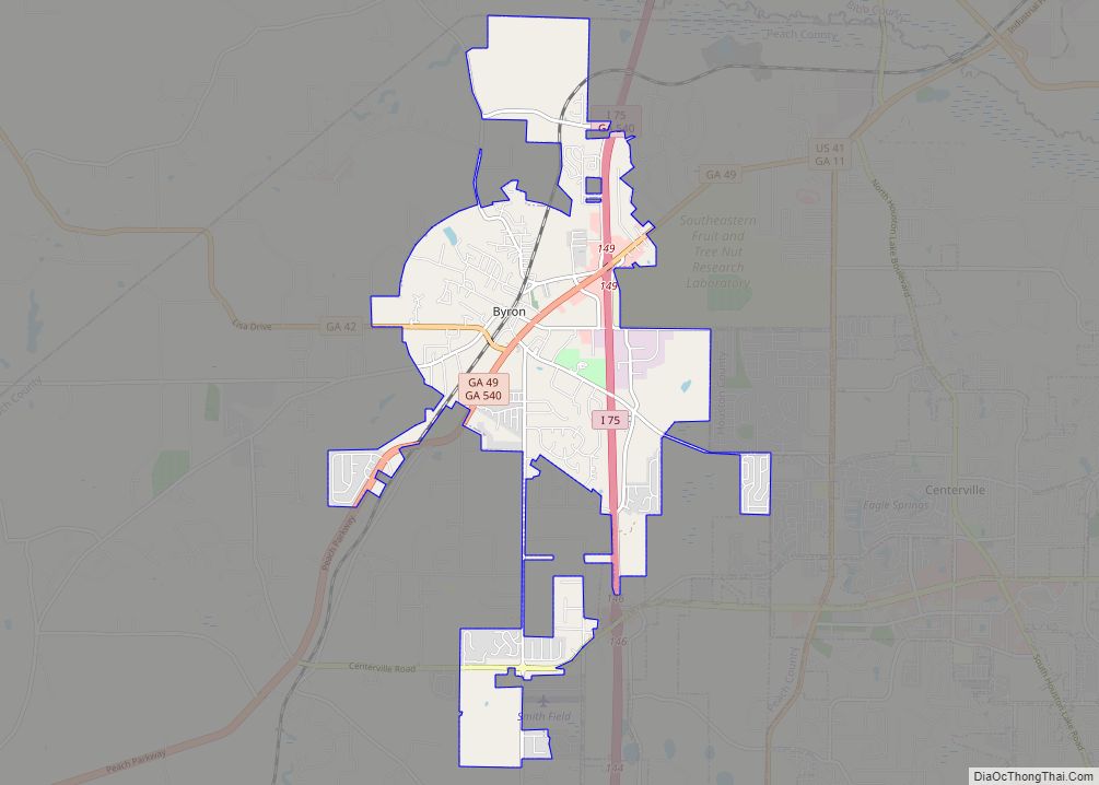
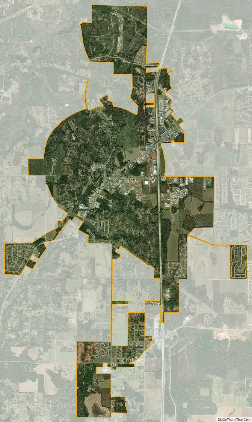
Byron city Satellite Map
Geography
Byron is located in the northeast corner of Peach County at 32°38′56″N 83°45′20″W / 32.64889°N 83.75556°W / 32.64889; -83.75556 (32.648908, -83.755640), near the geographic center of Georgia. Interstate 75 passes through the eastern side of the city, with access from Exits 146 and 149 (Georgia State Route 49). Byron is 93 miles (150 km) south of Atlanta, 16 miles (26 km) south of Macon, and 11 miles (18 km) northeast of the Peach County seat of Fort Valley.
According to the United States Census Bureau, the city has a total area of 8.6 square miles (22.4 km), of which 0.02 square miles (0.06 km), or 0.28%, are water.
See also
Map of Georgia State and its subdivision:- Appling
- Atkinson
- Bacon
- Baker
- Baldwin
- Banks
- Barrow
- Bartow
- Ben Hill
- Berrien
- Bibb
- Bleckley
- Brantley
- Brooks
- Bryan
- Bulloch
- Burke
- Butts
- Calhoun
- Camden
- Candler
- Carroll
- Catoosa
- Charlton
- Chatham
- Chattahoochee
- Chattooga
- Cherokee
- Clarke
- Clay
- Clayton
- Clinch
- Cobb
- Coffee
- Colquitt
- Columbia
- Cook
- Coweta
- Crawford
- Crisp
- Dade
- Dawson
- Decatur
- DeKalb
- Dodge
- Dooly
- Dougherty
- Douglas
- Early
- Echols
- Effingham
- Elbert
- Emanuel
- Evans
- Fannin
- Fayette
- Floyd
- Forsyth
- Franklin
- Fulton
- Gilmer
- Glascock
- Glynn
- Gordon
- Grady
- Greene
- Gwinnett
- Habersham
- Hall
- Hancock
- Haralson
- Harris
- Hart
- Heard
- Henry
- Houston
- Irwin
- Jackson
- Jasper
- Jeff Davis
- Jefferson
- Jenkins
- Johnson
- Jones
- Lamar
- Lanier
- Laurens
- Lee
- Liberty
- Lincoln
- Long
- Lowndes
- Lumpkin
- Macon
- Madison
- Marion
- McDuffie
- McIntosh
- Meriwether
- Miller
- Mitchell
- Monroe
- Montgomery
- Morgan
- Murray
- Muscogee
- Newton
- Oconee
- Oglethorpe
- Paulding
- Peach
- Pickens
- Pierce
- Pike
- Polk
- Pulaski
- Putnam
- Quitman
- Rabun
- Randolph
- Richmond
- Rockdale
- Schley
- Screven
- Seminole
- Spalding
- Stephens
- Stewart
- Sumter
- Talbot
- Taliaferro
- Tattnall
- Taylor
- Telfair
- Terrell
- Thomas
- Tift
- Toombs
- Towns
- Treutlen
- Troup
- Turner
- Twiggs
- Union
- Upson
- Walker
- Walton
- Ware
- Warren
- Washington
- Wayne
- Webster
- Wheeler
- White
- Whitfield
- Wilcox
- Wilkes
- Wilkinson
- Worth
- Alabama
- Alaska
- Arizona
- Arkansas
- California
- Colorado
- Connecticut
- Delaware
- District of Columbia
- Florida
- Georgia
- Hawaii
- Idaho
- Illinois
- Indiana
- Iowa
- Kansas
- Kentucky
- Louisiana
- Maine
- Maryland
- Massachusetts
- Michigan
- Minnesota
- Mississippi
- Missouri
- Montana
- Nebraska
- Nevada
- New Hampshire
- New Jersey
- New Mexico
- New York
- North Carolina
- North Dakota
- Ohio
- Oklahoma
- Oregon
- Pennsylvania
- Rhode Island
- South Carolina
- South Dakota
- Tennessee
- Texas
- Utah
- Vermont
- Virginia
- Washington
- West Virginia
- Wisconsin
- Wyoming