Canton is a city in and the county seat of Cherokee County, Georgia, United States. As of the 2010 census, the city had a population of 22,958, up from 7,709 in 2000.
| Name: | Canton city |
|---|---|
| LSAD Code: | 25 |
| LSAD Description: | city (suffix) |
| State: | Georgia |
| County: | Cherokee County |
| Elevation: | 968 ft (295 m) |
| Total Area: | 19.03 sq mi (49.29 km²) |
| Land Area: | 18.33 sq mi (47.47 km²) |
| Water Area: | 0.70 sq mi (1.82 km²) |
| Total Population: | 32,973 |
| Population Density: | 1,799.15/sq mi (694.66/km²) |
| Area code: | 770/678/470 |
| FIPS code: | 1312988 |
| GNISfeature ID: | 0331320 |
| Website: | www.cantonga.gov |
Online Interactive Map
Click on ![]() to view map in "full screen" mode.
to view map in "full screen" mode.
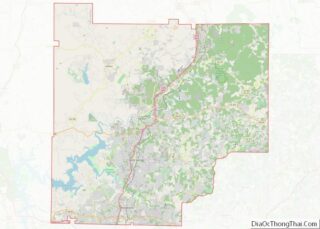
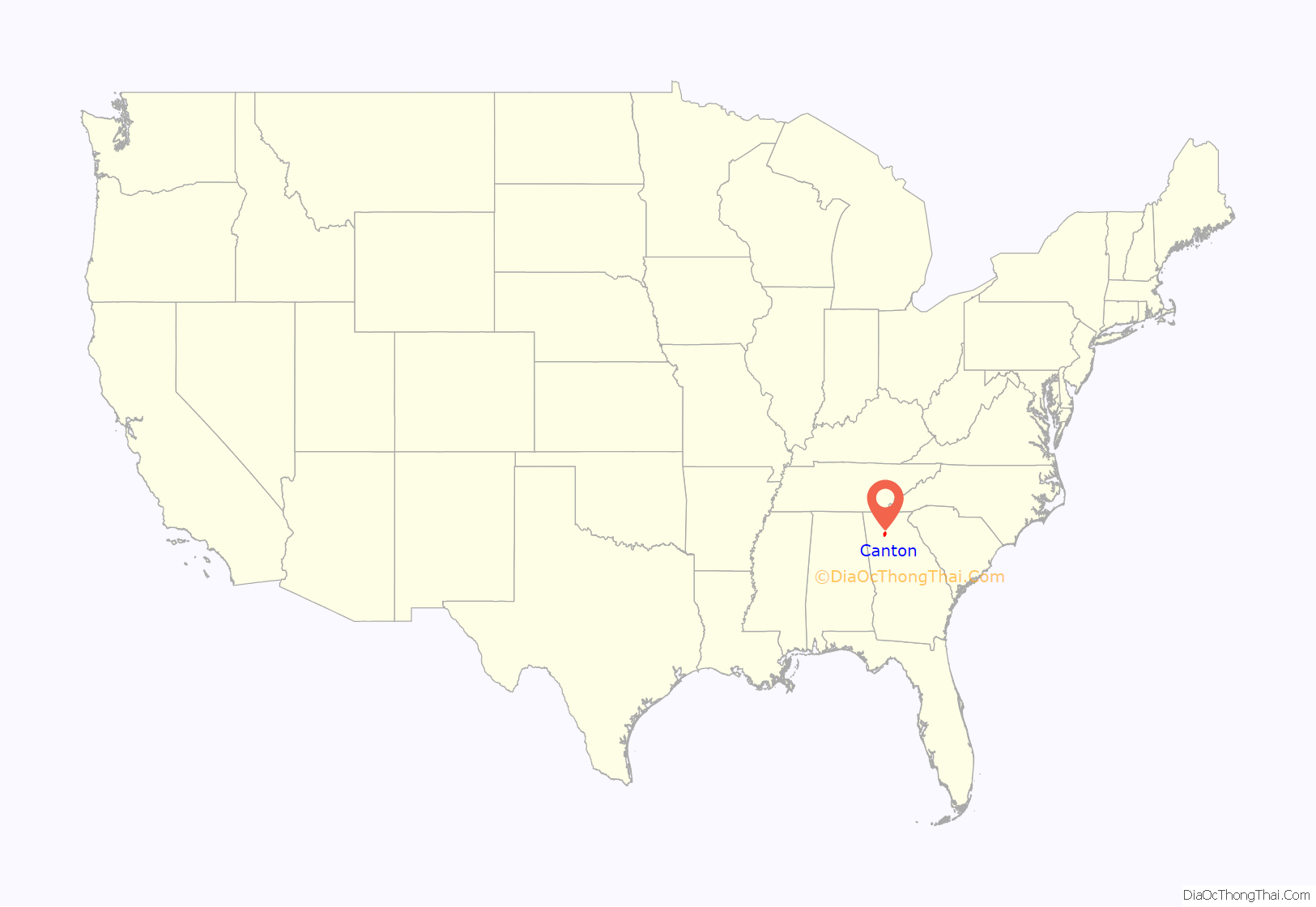
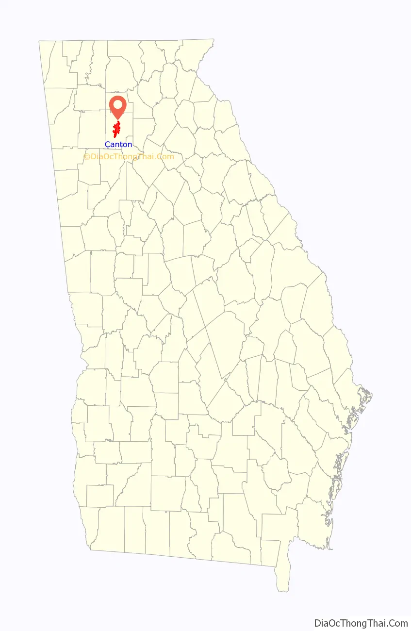
Canton location map. Where is Canton city?
History
Located in the foothills of the Blue Ridge Mountains, the site where Canton would be founded lay in the heart of the original Cherokee Nation. During the first 100 years of Georgia’s history, Northwest Georgia was generally considered “Indian Country” and was bypassed by settlers going West. Georgia reached an agreement with the federal government in 1802 shortly after the Revolutionary War to relinquish its Western Territory (it claimed the Pacific Ocean as its western boundary) in exchange for the removal of all Indians within its boundaries. Although other tribes had been removed, the Cherokee remained. Since this was the heartland of the Cherokee Nation, the state and nation were reluctant to disturb them. But following the Georgia Gold Rush in 1829, European-American settlers ignored the Indian problems and began to move into the area north of Carrollton and west of the Chattahoochee River and named it Cherokee.
Many members of the Cherokee Nation moved west in 1829, but the majority stayed until removed by federal troops sent into the area during the summer of 1838. The remaining Cherokee were gathered and held in forts until the removal could be completed. Present-day Cherokee County had the largest and most southerly of these forts, Fort Buffington, which stood 6 miles (10 km) east of Canton. Today nothing stands to identify its timber structure, but the area is marked by a large piece of green Cherokee marble quarried near Holly Springs. By autumn of 1838, the federal troops had accomplished their mission, and the Cherokee at Fort Buffington were marched off to join other groups on the infamous “Trail of Tears,” a lengthy march in worsening winter weather to Indian Territory west of the Mississippi River.
The new settlers chose a site for a permanent county seat and courthouse in 1833, naming it “Etowah”. The name was changed to “Cherokee Courthouse” in 1833. In 1834 it was changed to “Canton” (pronounced cant’n), after the Chinese city of Guangzhou, which was then known in English as Canton (pronounced can tahn). The name was chosen because a group of citizens had dreams of making the Georgia town a center of the silk industry, which was concentrated in China at the time. Though Canton never became a significant silk center, it did become a successful manufacturing community.
During the American Civil War, Canton, which had a population of about 200, was burned between November 1 and 5, 1864, by the Union Army under the command of Maj. Gen. William T. Sherman. Canton was destroyed by a foraging party of the Ohio 5th Cavalry under the command of Major Thomas T. Heath. At the time the Ohio 5th Cavalry was headquartered in Cartersville. The written order for destruction was given on October 30, 1864, by Brig. General John E. Smith. Union troops were ordered to burn the town because of Confederate guerrilla attacks coming from Canton and directed against the Western and Atlantic Railroad near the town of Cassville. The railroad was a vital supply line for the Union Army from the captured city of Chattanooga, Tennessee, to newly captured Atlanta. The Union troops identified the Canton home of Governor Joseph E. Brown for destruction. The same Union party destroyed Cassville, the county seat of neighboring Bartow County, on November 5, 1864, as it has also been a base of guerrilla actions. Cassville never rebuilt, but Canton survived to prosper, as it was the county seat.
Over the years, Canton evolved from unsettled territory to a prosperous mill town known the world over for its “Canton Denim”. The original county of 1831 now includes 24 counties. The city of Canton remains the county seat.
Cherokee Poultry, founded by T.B.Bradshaw was built on Univeter Road in 1955; later sold to Central Soya in 1962. The Canton Cotton Mills, which produced the famous “Canton Denim”, closed in 1981. Since then, Canton has grown as the suburbs of Atlanta have expanded northward, and is currently experiencing its period of greatest population growth, which nearly tripled between 2000 and 2010.
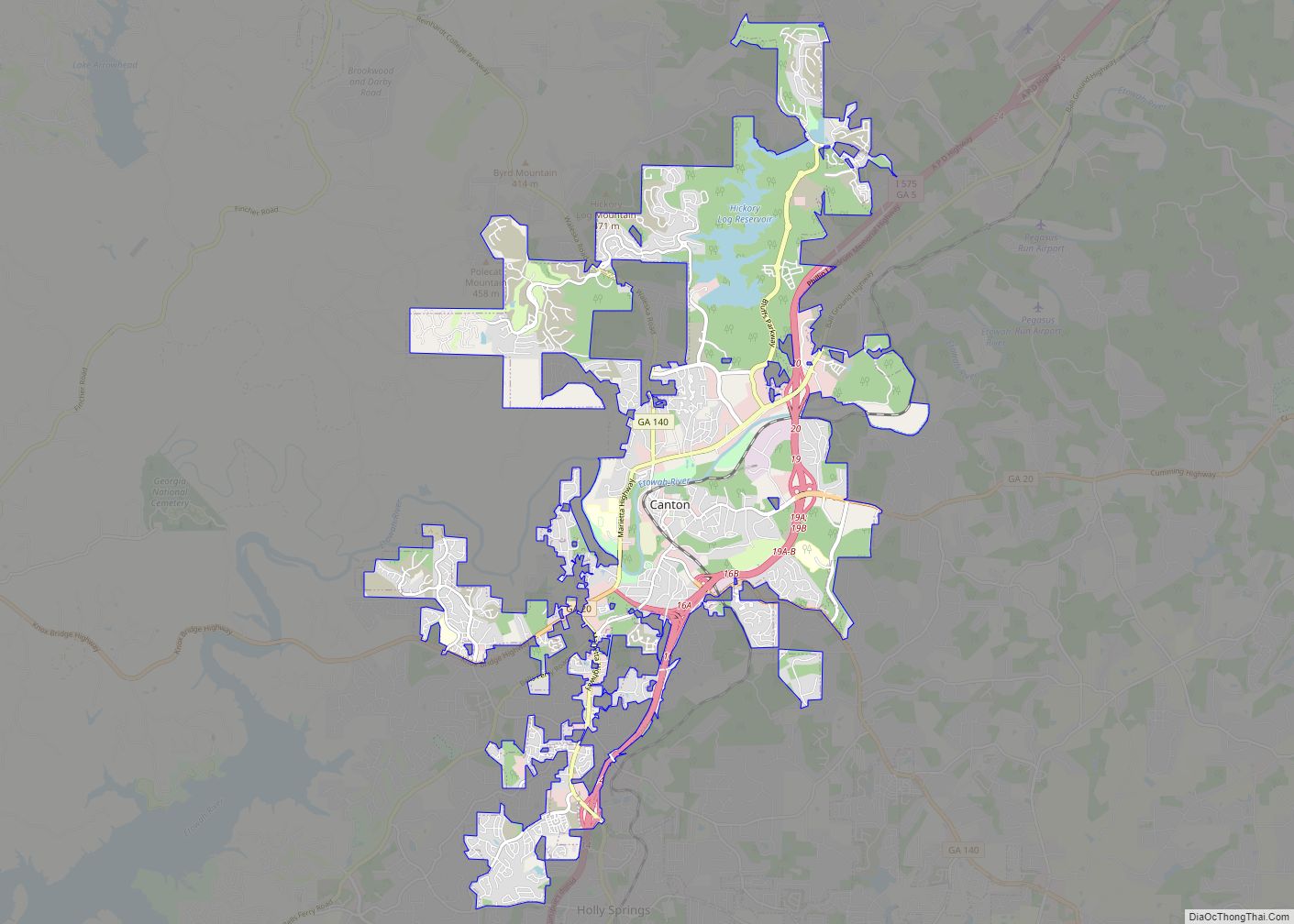
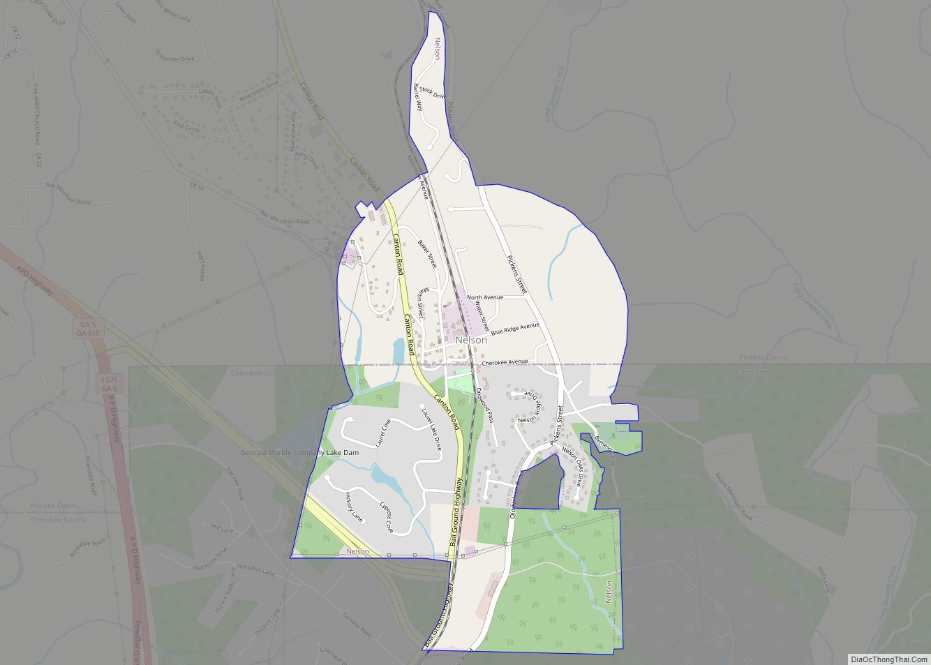
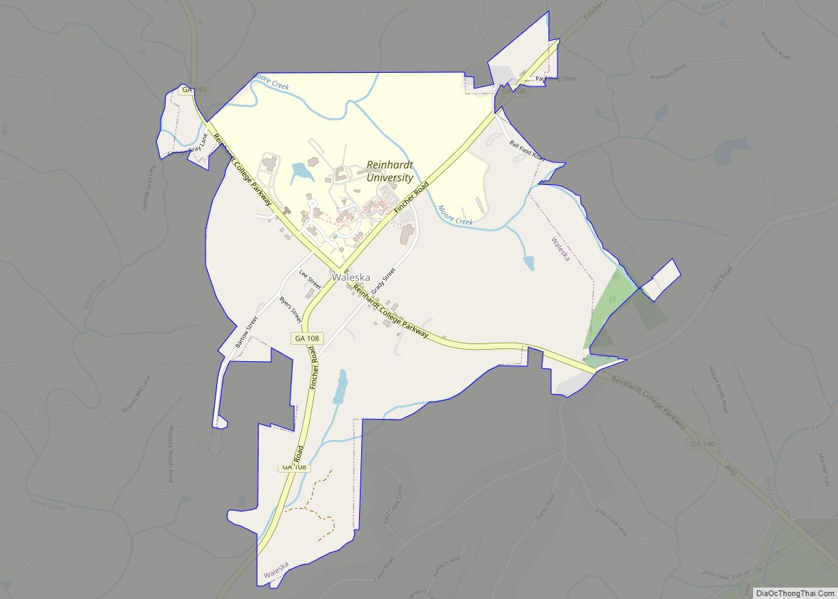
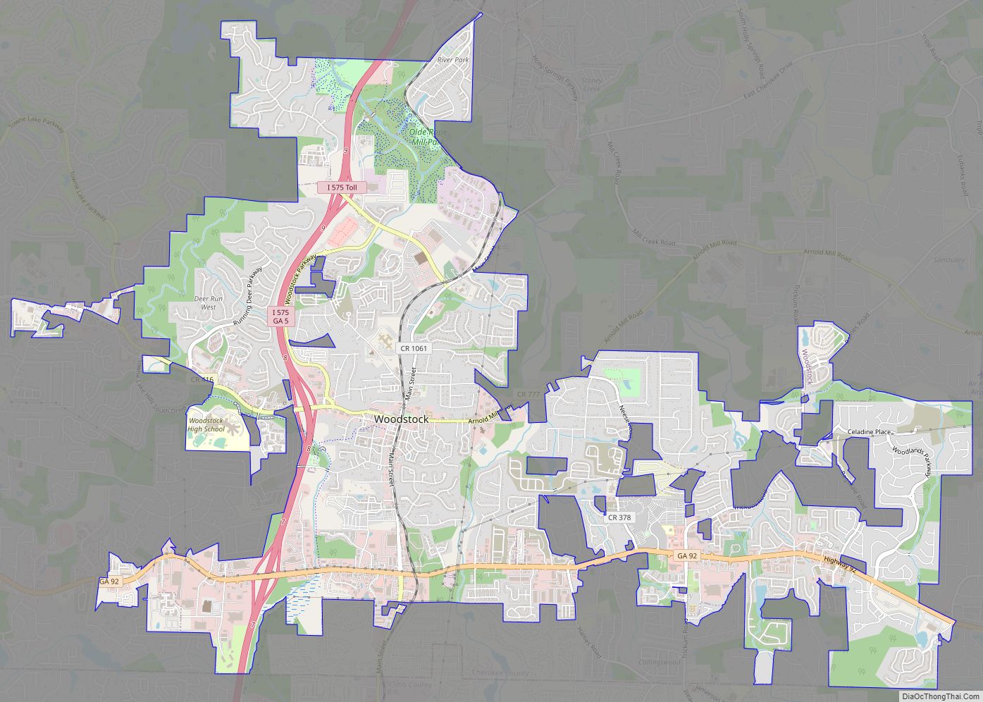
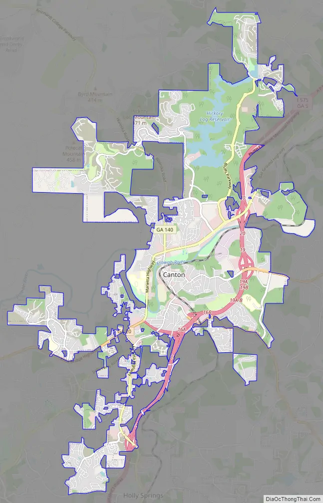
Canton Road Map
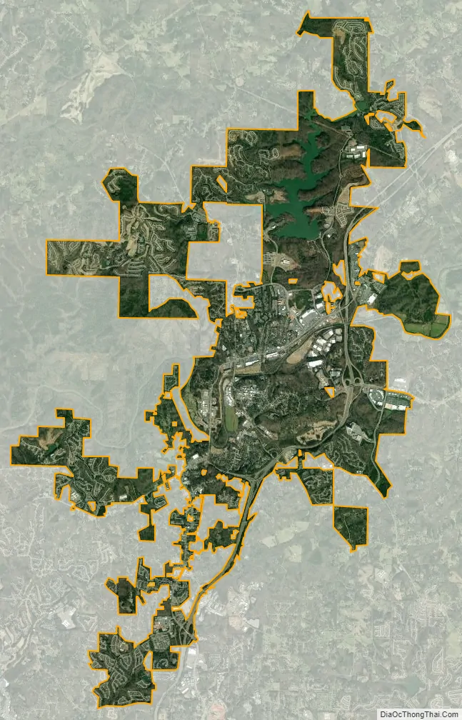
Canton city Satellite Map
Geography
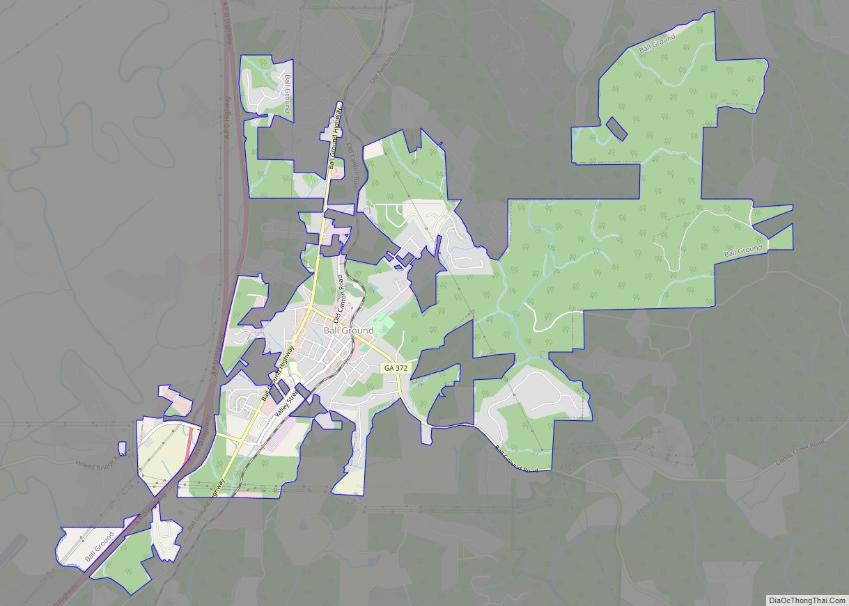
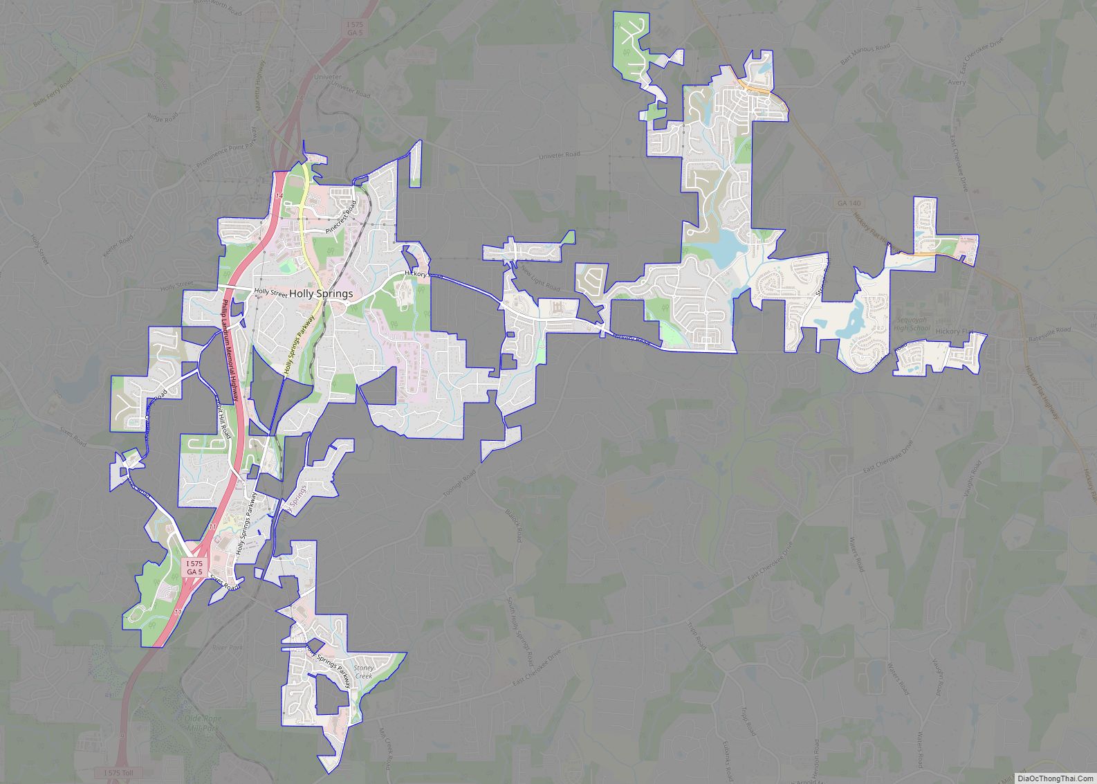
Canton is located near the center of Cherokee County at 34°13′38″N 84°29′41″W / 34.22722°N 84.49472°W / 34.22722; -84.49472 (34.227307, −84.494727). The city lies just north of Holly Springs and south of Ball Ground. Interstate 575 passes through the eastern side of the city, with access from exits 14 through 20. Canton is 40 miles (64 km) north of downtown Atlanta via I-575 and I-75.
According to the United States Census Bureau, the city has a total area of 18.7 square miles (48.5 km), of which 18.6 square miles (48.2 km) is land and 0.15 square miles (0.4 km), or 0.76%, is water. The Etowah River, a tributary of the Coosa River, flows from east to west through the center of the city.
See also
Map of Georgia State and its subdivision:- Appling
- Atkinson
- Bacon
- Baker
- Baldwin
- Banks
- Barrow
- Bartow
- Ben Hill
- Berrien
- Bibb
- Bleckley
- Brantley
- Brooks
- Bryan
- Bulloch
- Burke
- Butts
- Calhoun
- Camden
- Candler
- Carroll
- Catoosa
- Charlton
- Chatham
- Chattahoochee
- Chattooga
- Cherokee
- Clarke
- Clay
- Clayton
- Clinch
- Cobb
- Coffee
- Colquitt
- Columbia
- Cook
- Coweta
- Crawford
- Crisp
- Dade
- Dawson
- Decatur
- DeKalb
- Dodge
- Dooly
- Dougherty
- Douglas
- Early
- Echols
- Effingham
- Elbert
- Emanuel
- Evans
- Fannin
- Fayette
- Floyd
- Forsyth
- Franklin
- Fulton
- Gilmer
- Glascock
- Glynn
- Gordon
- Grady
- Greene
- Gwinnett
- Habersham
- Hall
- Hancock
- Haralson
- Harris
- Hart
- Heard
- Henry
- Houston
- Irwin
- Jackson
- Jasper
- Jeff Davis
- Jefferson
- Jenkins
- Johnson
- Jones
- Lamar
- Lanier
- Laurens
- Lee
- Liberty
- Lincoln
- Long
- Lowndes
- Lumpkin
- Macon
- Madison
- Marion
- McDuffie
- McIntosh
- Meriwether
- Miller
- Mitchell
- Monroe
- Montgomery
- Morgan
- Murray
- Muscogee
- Newton
- Oconee
- Oglethorpe
- Paulding
- Peach
- Pickens
- Pierce
- Pike
- Polk
- Pulaski
- Putnam
- Quitman
- Rabun
- Randolph
- Richmond
- Rockdale
- Schley
- Screven
- Seminole
- Spalding
- Stephens
- Stewart
- Sumter
- Talbot
- Taliaferro
- Tattnall
- Taylor
- Telfair
- Terrell
- Thomas
- Tift
- Toombs
- Towns
- Treutlen
- Troup
- Turner
- Twiggs
- Union
- Upson
- Walker
- Walton
- Ware
- Warren
- Washington
- Wayne
- Webster
- Wheeler
- White
- Whitfield
- Wilcox
- Wilkes
- Wilkinson
- Worth
- Alabama
- Alaska
- Arizona
- Arkansas
- California
- Colorado
- Connecticut
- Delaware
- District of Columbia
- Florida
- Georgia
- Hawaii
- Idaho
- Illinois
- Indiana
- Iowa
- Kansas
- Kentucky
- Louisiana
- Maine
- Maryland
- Massachusetts
- Michigan
- Minnesota
- Mississippi
- Missouri
- Montana
- Nebraska
- Nevada
- New Hampshire
- New Jersey
- New Mexico
- New York
- North Carolina
- North Dakota
- Ohio
- Oklahoma
- Oregon
- Pennsylvania
- Rhode Island
- South Carolina
- South Dakota
- Tennessee
- Texas
- Utah
- Vermont
- Virginia
- Washington
- West Virginia
- Wisconsin
- Wyoming