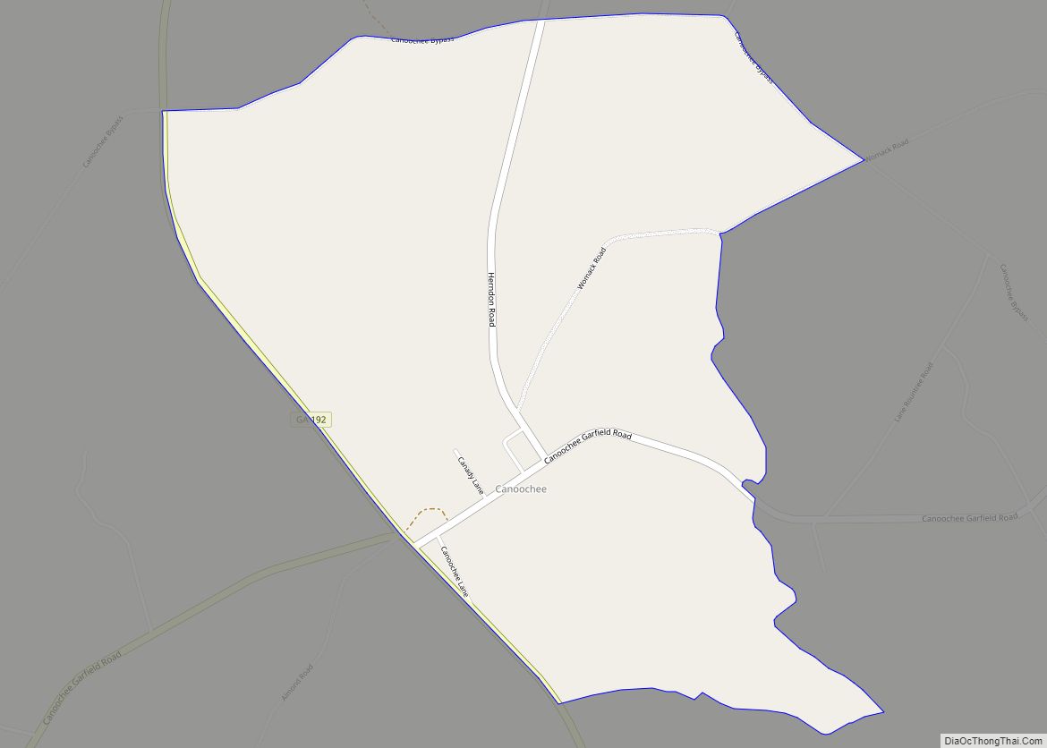
Canoochee is a census-designated place and unincorporated community in Emanuel County, Georgia, United States. Its population was 70 as of the 2020 census. Georgia State Route 192 passes through the community. Canoochee CDP overview: Name: Canoochee CDP LSAD Code: 57 LSAD Description: CDP (suffix) State: Georgia County: Emanuel County Elevation: 354 ft (108 m) Total Area: 2.41 sq mi ... Read more
Georgia Cities and Places
Carrollton, Georgia is a city in the northwest region of Georgia, about 45 miles (72 km) west of Atlanta near the Alabama state line. It is the county seat of Carroll County, which is included in the Atlanta Metropolitan Area. Historically, Carrollton has been a commercial center for several mostly rural counties in both Georgia and ... Read more
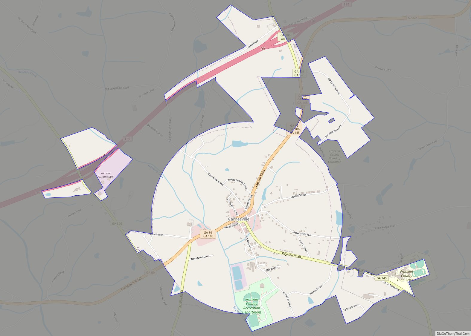
Carnesville is a city in Franklin County, Georgia, United States, and the county seat. The population was 741 at the 2020 census. Carnesville city overview: Name: Carnesville city LSAD Code: 25 LSAD Description: city (suffix) State: Georgia County: Franklin County Elevation: 709 ft (216 m) Total Area: 3.17 sq mi (8.21 km²) Land Area: 3.14 sq mi (8.14 km²) Water Area: 0.03 sq mi (0.07 km²) ... Read more
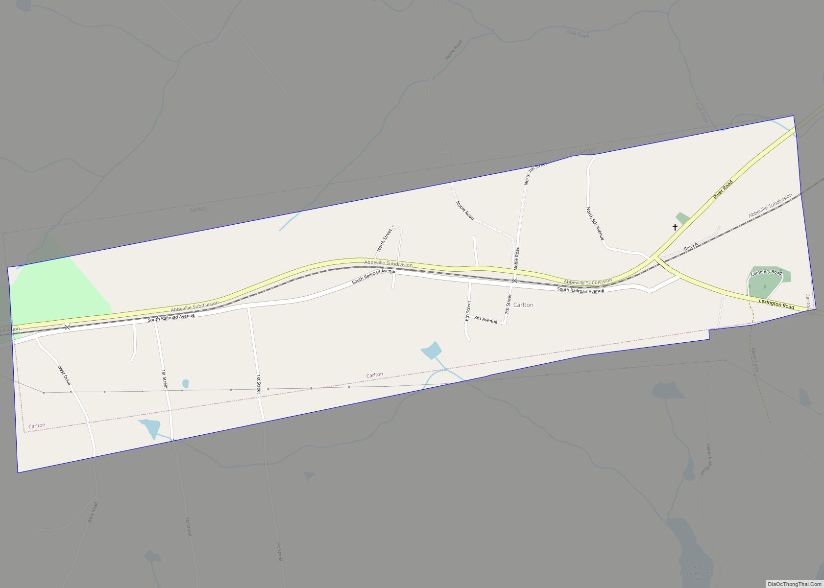
Carlton is a city in Madison County, Georgia, United States. The population was 263 at the 2020 census. Carlton city overview: Name: Carlton city LSAD Code: 25 LSAD Description: city (suffix) State: Georgia County: Madison County Elevation: 597 ft (182 m) Total Area: 1.01 sq mi (2.61 km²) Land Area: 1.01 sq mi (2.61 km²) Water Area: 0.00 sq mi (0.01 km²) Total Population: 263 Population ... Read more
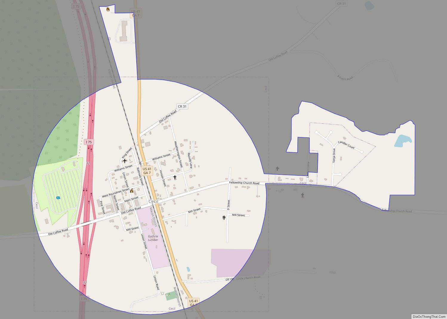
Cecil is a town in Cook County, Georgia, United States. The population was 286 at the 2010 census. Cecil city overview: Name: Cecil city LSAD Code: 25 LSAD Description: city (suffix) State: Georgia County: Cook County Elevation: 240 ft (73 m) Total Area: 0.97 sq mi (2.52 km²) Land Area: 0.95 sq mi (2.47 km²) Water Area: 0.02 sq mi (0.05 km²) Total Population: 284 Population ... Read more
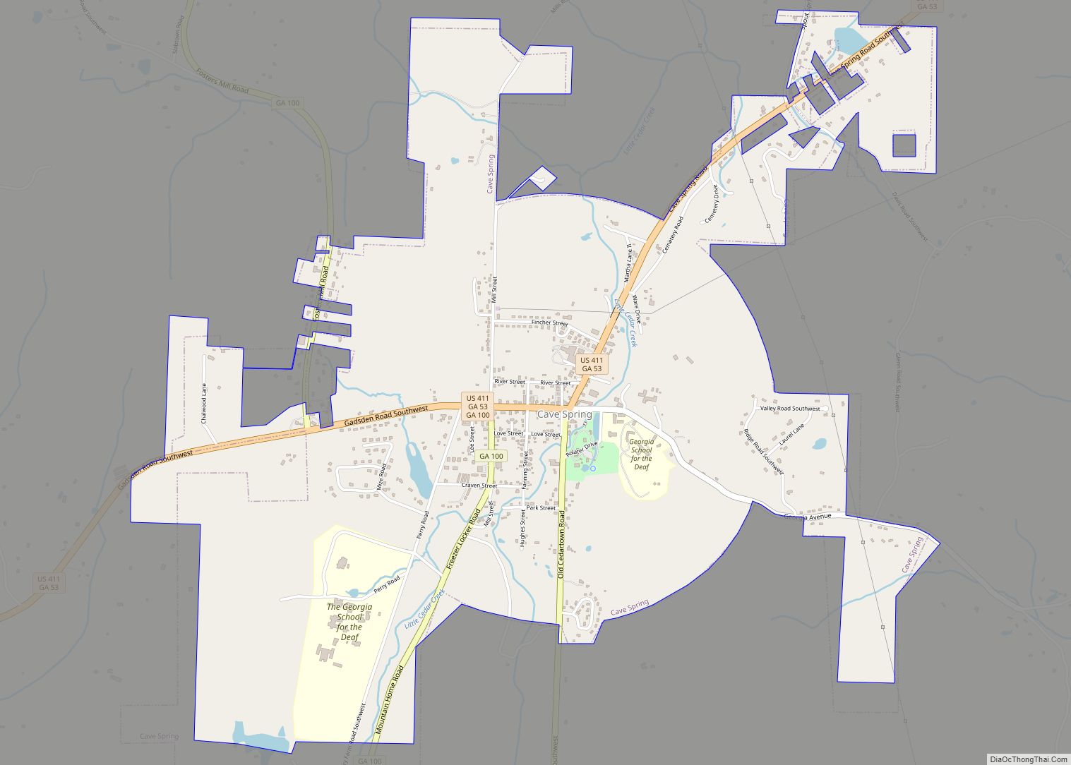
Cave Spring is a city in Floyd County, Georgia, United States. It is located 17 miles (27 km) southwest of Rome, the county seat. The population of Cave Spring was 1,200 at the 2010 census, up from 975 at the 2000 census. It is part of the Rome, Georgia Metropolitan Statistical Area. The town is named ... Read more
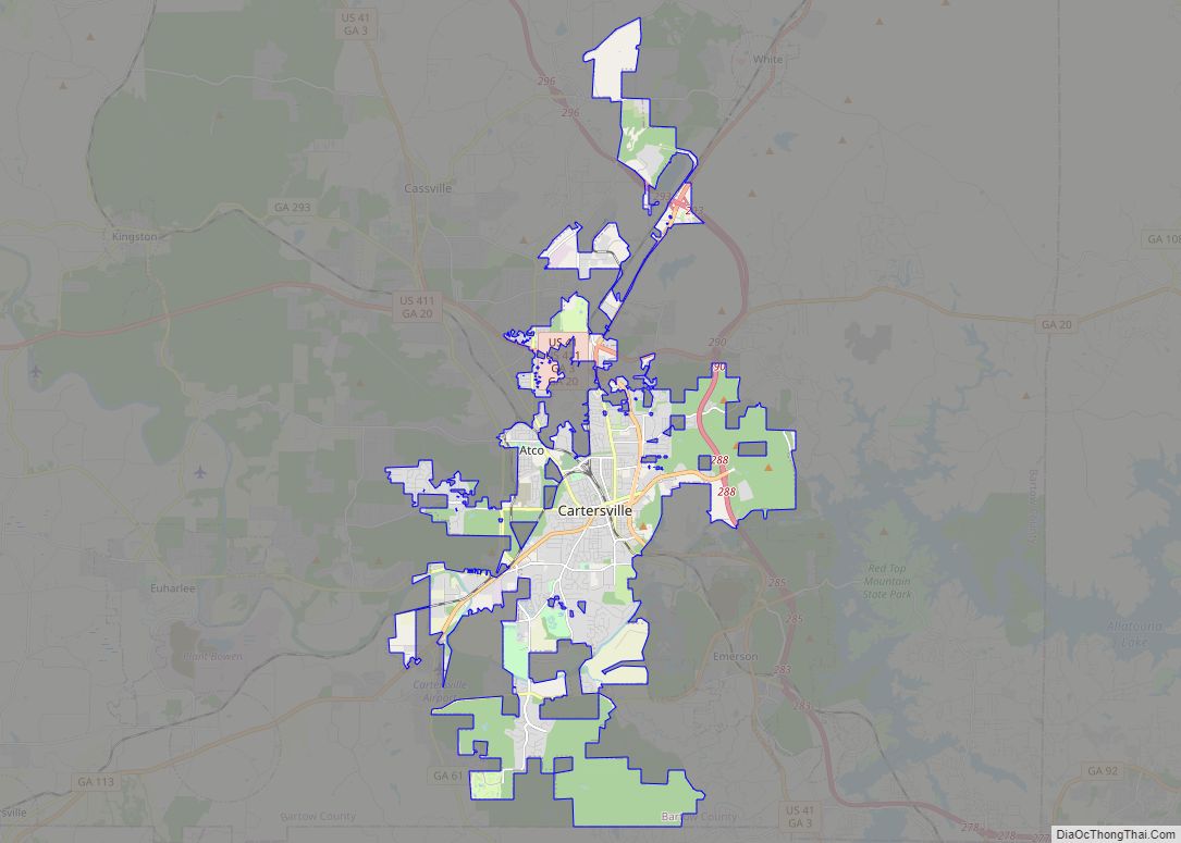
Cartersville is a city in Bartow County, Georgia, United States; it is located within the northwest edge of the Atlanta metropolitan area. As of the 2020 census, the city had a population of 23,187. Cartersville is the county seat of Bartow County. Cartersville city overview: Name: Cartersville city LSAD Code: 25 LSAD Description: city (suffix) ... Read more
Centerville is a city in Houston County, Georgia, United States. The city is a part of the larger Macon-Warner Robins Combined Statistical Area. It was incorporated March 25, 1958. As of the 2010 census, the city had a population of 7,148, up from 4,278 in 2000. The city’s central location, proximity to major highways and ... Read more
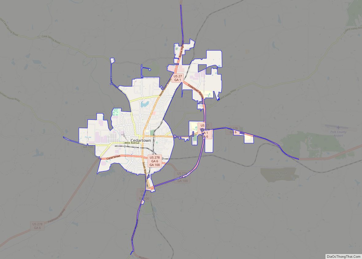
Cedartown is a city and the county seat of Polk County, Georgia. As of the 2020 census, the city had a population of 10,190. Cedartown is the principal city of and is included in the Cedartown, Georgia Micropolitan Statistical Area, which is included in the Atlanta-Sandy Springs–Gainesville, Georgia–Alabama (part) Combined Statistical Area. The Cedartown Commercial ... Read more
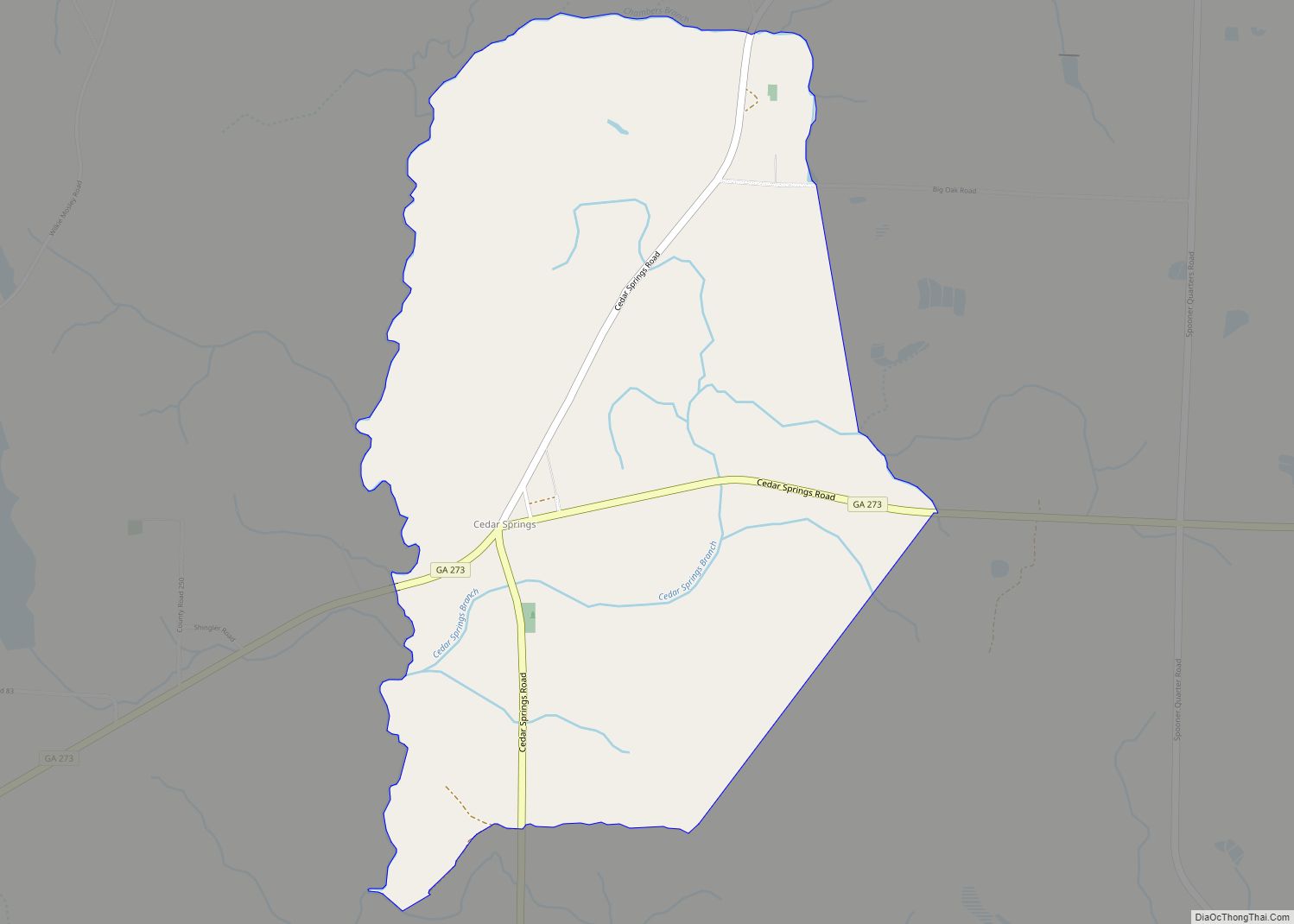
Cedar Springs is a census-designated place and unincorporated community in Early County, Georgia, United States. At the time of the 2020 census, the population was 75. Cedar Springs has a post office with ZIP code 39832. Georgia State Route 273 passes through the community. Georgia Pacific is 2 miles southwest from it. The community was ... Read more
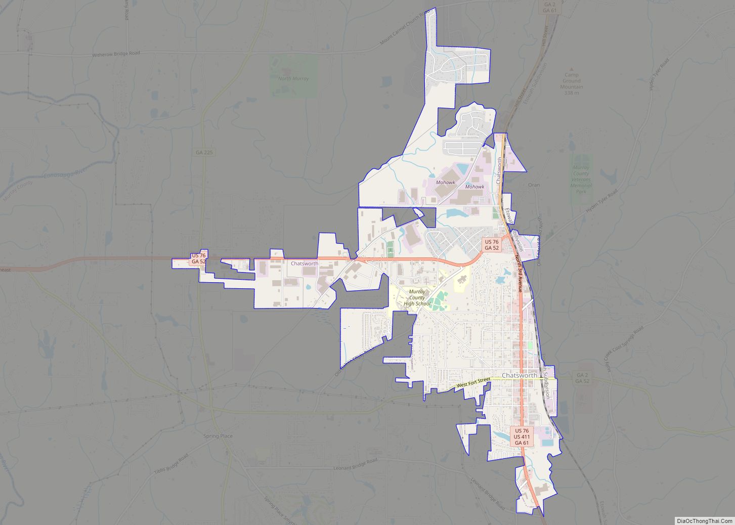
Chatsworth is a city in and the county seat of Murray County, Georgia, United States. It is part of the Dalton, Georgia, Metropolitan Statistical Area. Its population was 4,874 at the 2020 census, up from 4,299 in 2010. The city is the site of the coldest recorded temperature in Georgia, −17 °F (−27 °C) on January 27, ... Read more
Chamblee (/ˈʃæmbliː/ SHAM-blee) is a city in northern DeKalb County, Georgia, United States, northeast of Atlanta. The population was 30,164 as of the 2020 census. Chamblee city overview: Name: Chamblee city LSAD Code: 25 LSAD Description: city (suffix) State: Georgia County: DeKalb County Elevation: 1,020 ft (311 m) Total Area: 7.70 sq mi (19.94 km²) Land Area: 7.69 sq mi (19.93 km²) Water ... Read more
