Centerville is a city in Houston County, Georgia, United States. The city is a part of the larger Macon-Warner Robins Combined Statistical Area. It was incorporated March 25, 1958. As of the 2010 census, the city had a population of 7,148, up from 4,278 in 2000. The city’s central location, proximity to major highways and interstates, and excellent quality of life makes it one of the top bedroom communities in Georgia. In 2016, Centerville was ranked 7th Happiest City in Georgia by zippia.com, a website devoted to career-related rankings.
| Name: | Centerville city |
|---|---|
| LSAD Code: | 25 |
| LSAD Description: | city (suffix) |
| State: | Georgia |
| County: | Houston County |
| Founded: | March 25, 1958 |
| Elevation: | 449 ft (137 m) |
| Total Area: | 3.97 sq mi (10.28 km²) |
| Land Area: | 3.94 sq mi (10.22 km²) |
| Water Area: | 0.02 sq mi (0.06 km²) 0.58% |
| Total Population: | 8,228 |
| Population Density: | 2,085.68/sq mi (805.37/km²) |
| ZIP code: | 31028 |
| Area code: | 478 |
| FIPS code: | 1314920 |
| GNISfeature ID: | 0355090 |
| Website: | www.centervillega.org |
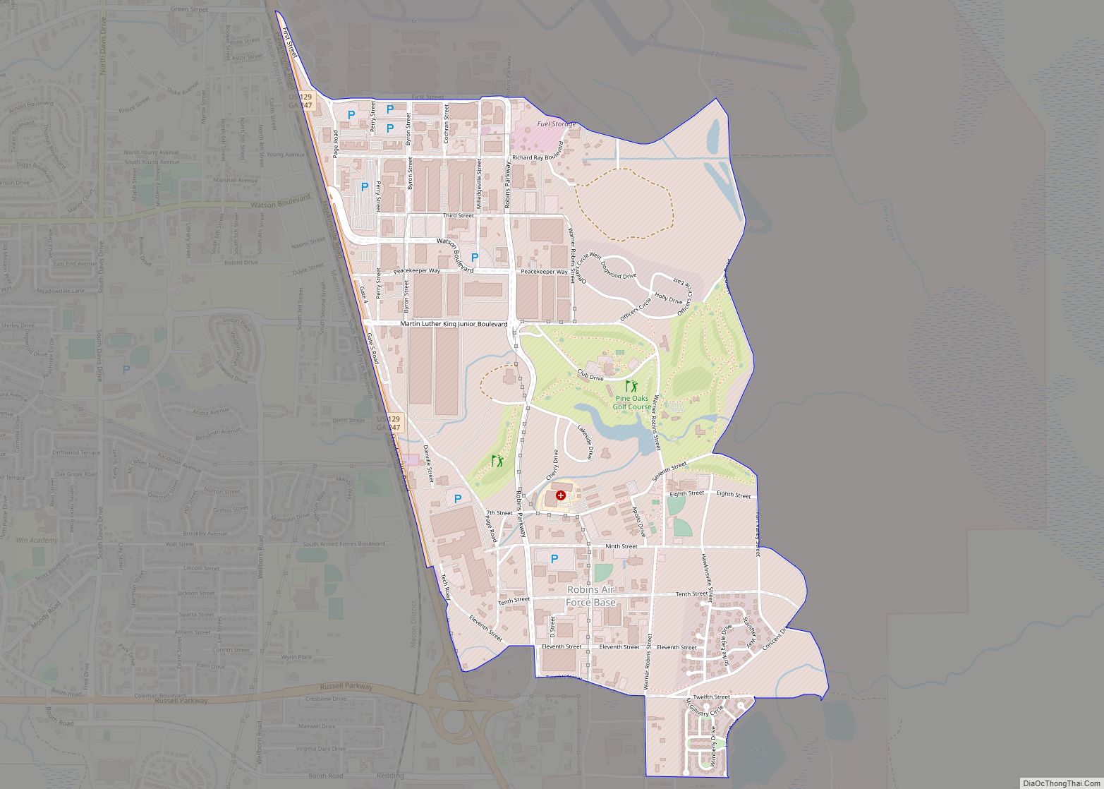
Online Interactive Map
Click on ![]() to view map in "full screen" mode.
to view map in "full screen" mode.
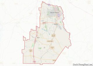
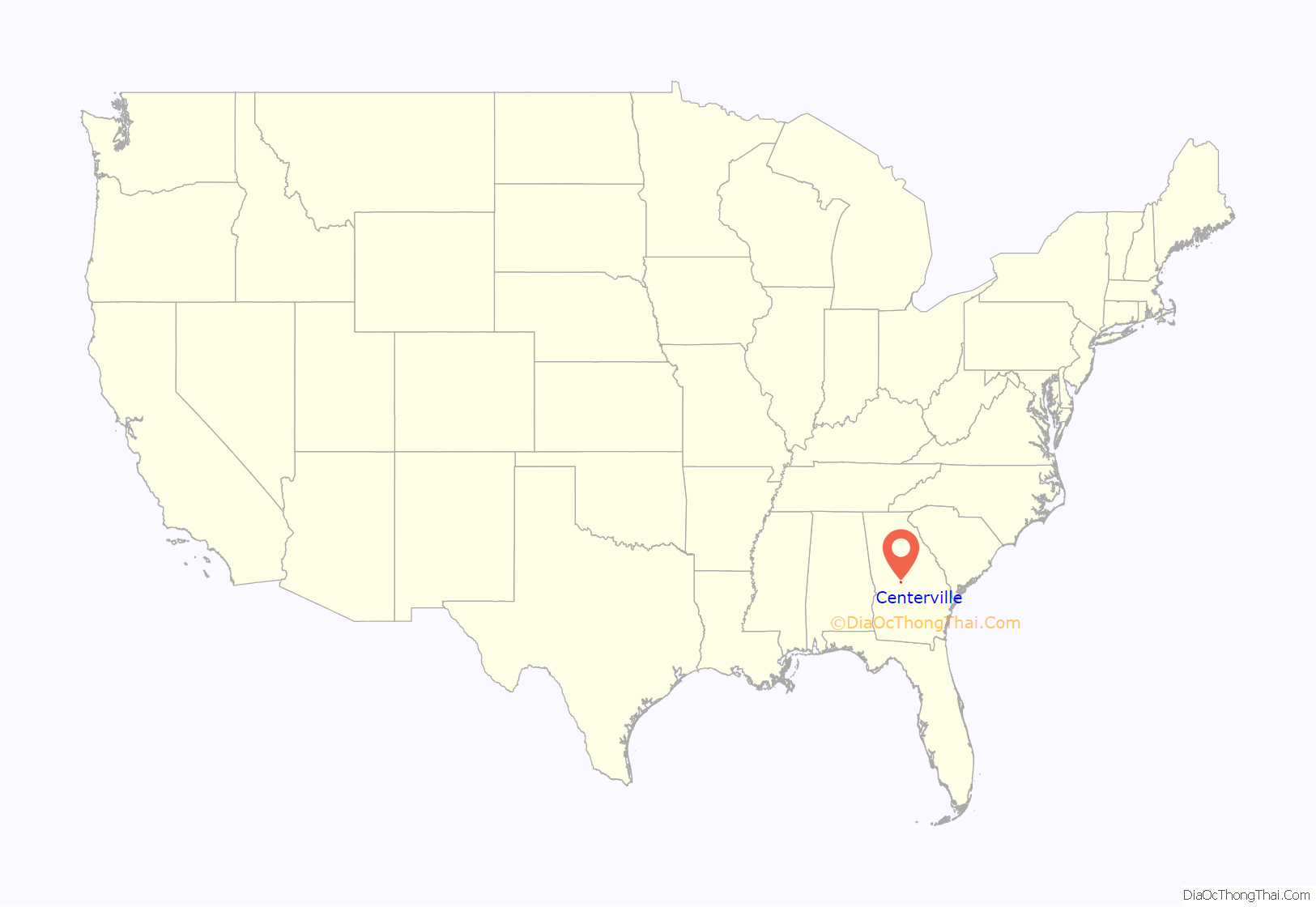
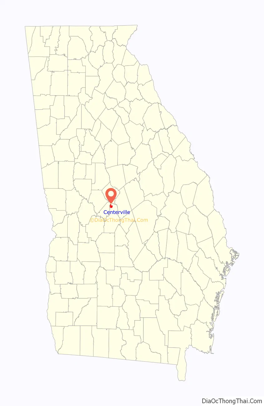
Centerville location map. Where is Centerville city?
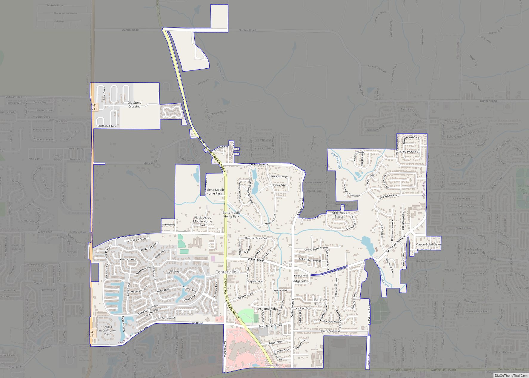
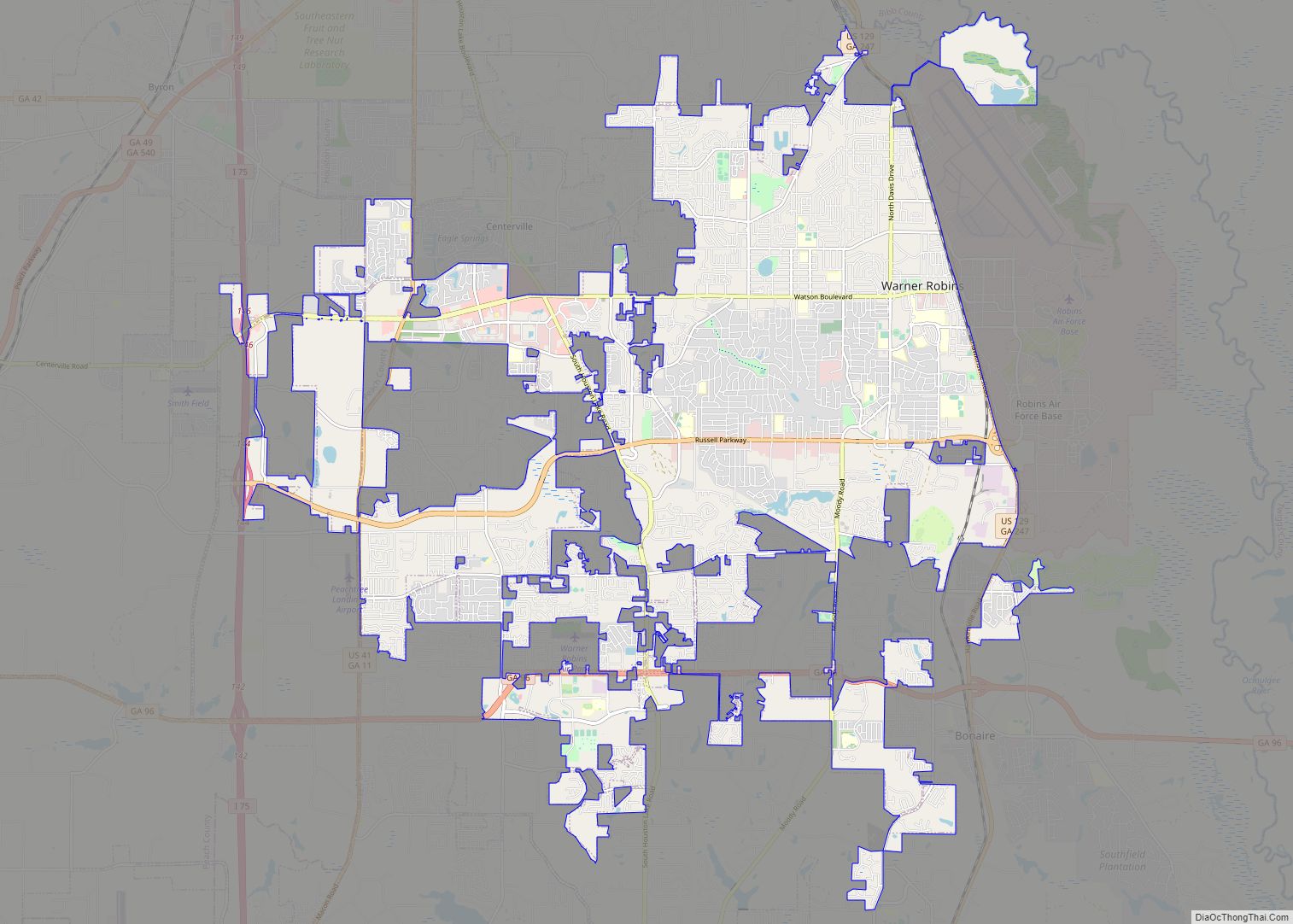
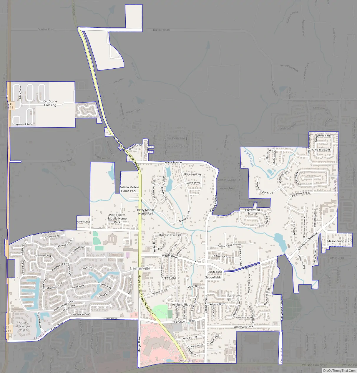
Centerville Road Map
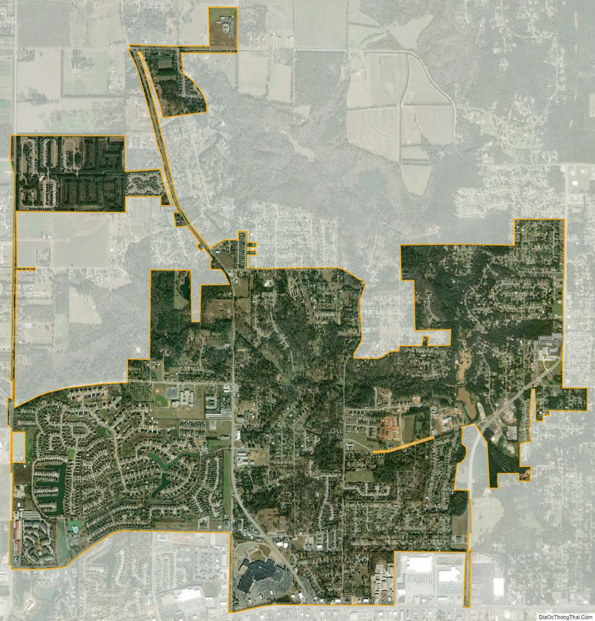
Centerville city Satellite Map
Geography
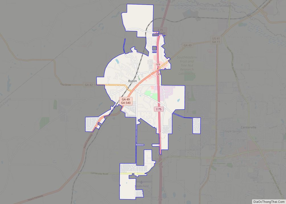
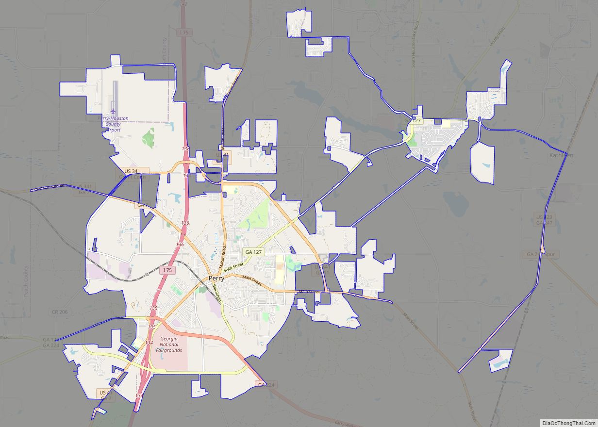
Centerville is located in northern Houston County at 32°37′56″N 83°40′41″W / 32.63222°N 83.67806°W / 32.63222; -83.67806 (32.632111, -83.677950). It is bordered to the east and south by the city of Warner Robins and to the west by the city of Byron in Peach County. U.S. Route 41 passes through the west side of Centerville, leading north 17 miles (27 km) to Macon and south 12 miles (19 km) to Perry, the Houston County seat. State Route 247 Connector (Watson Boulevard) forms the southern edge of Centerville, leading east into Warner Robins and west 3 miles (5 km) to Interstate 75 at Exit 146.
According to the United States Census Bureau, Centerville has a total area of 4.0 square miles (10.3 km), of which 0.023 square miles (0.06 km), or 0.58%, are water.
See also
Map of Georgia State and its subdivision:- Appling
- Atkinson
- Bacon
- Baker
- Baldwin
- Banks
- Barrow
- Bartow
- Ben Hill
- Berrien
- Bibb
- Bleckley
- Brantley
- Brooks
- Bryan
- Bulloch
- Burke
- Butts
- Calhoun
- Camden
- Candler
- Carroll
- Catoosa
- Charlton
- Chatham
- Chattahoochee
- Chattooga
- Cherokee
- Clarke
- Clay
- Clayton
- Clinch
- Cobb
- Coffee
- Colquitt
- Columbia
- Cook
- Coweta
- Crawford
- Crisp
- Dade
- Dawson
- Decatur
- DeKalb
- Dodge
- Dooly
- Dougherty
- Douglas
- Early
- Echols
- Effingham
- Elbert
- Emanuel
- Evans
- Fannin
- Fayette
- Floyd
- Forsyth
- Franklin
- Fulton
- Gilmer
- Glascock
- Glynn
- Gordon
- Grady
- Greene
- Gwinnett
- Habersham
- Hall
- Hancock
- Haralson
- Harris
- Hart
- Heard
- Henry
- Houston
- Irwin
- Jackson
- Jasper
- Jeff Davis
- Jefferson
- Jenkins
- Johnson
- Jones
- Lamar
- Lanier
- Laurens
- Lee
- Liberty
- Lincoln
- Long
- Lowndes
- Lumpkin
- Macon
- Madison
- Marion
- McDuffie
- McIntosh
- Meriwether
- Miller
- Mitchell
- Monroe
- Montgomery
- Morgan
- Murray
- Muscogee
- Newton
- Oconee
- Oglethorpe
- Paulding
- Peach
- Pickens
- Pierce
- Pike
- Polk
- Pulaski
- Putnam
- Quitman
- Rabun
- Randolph
- Richmond
- Rockdale
- Schley
- Screven
- Seminole
- Spalding
- Stephens
- Stewart
- Sumter
- Talbot
- Taliaferro
- Tattnall
- Taylor
- Telfair
- Terrell
- Thomas
- Tift
- Toombs
- Towns
- Treutlen
- Troup
- Turner
- Twiggs
- Union
- Upson
- Walker
- Walton
- Ware
- Warren
- Washington
- Wayne
- Webster
- Wheeler
- White
- Whitfield
- Wilcox
- Wilkes
- Wilkinson
- Worth
- Alabama
- Alaska
- Arizona
- Arkansas
- California
- Colorado
- Connecticut
- Delaware
- District of Columbia
- Florida
- Georgia
- Hawaii
- Idaho
- Illinois
- Indiana
- Iowa
- Kansas
- Kentucky
- Louisiana
- Maine
- Maryland
- Massachusetts
- Michigan
- Minnesota
- Mississippi
- Missouri
- Montana
- Nebraska
- Nevada
- New Hampshire
- New Jersey
- New Mexico
- New York
- North Carolina
- North Dakota
- Ohio
- Oklahoma
- Oregon
- Pennsylvania
- Rhode Island
- South Carolina
- South Dakota
- Tennessee
- Texas
- Utah
- Vermont
- Virginia
- Washington
- West Virginia
- Wisconsin
- Wyoming