Chatsworth is a city in and the county seat of Murray County, Georgia, United States. It is part of the Dalton, Georgia, Metropolitan Statistical Area. Its population was 4,874 at the 2020 census, up from 4,299 in 2010. The city is the site of the coldest recorded temperature in Georgia, −17 °F (−27 °C) on January 27, 1940.
According to a popular legend, the town received its name after a road sign with the word “Chatsworth” fell off a passing freight train nearby. Someone put the sign on a post, and the name stuck.
| Name: | Chatsworth city |
|---|---|
| LSAD Code: | 25 |
| LSAD Description: | city (suffix) |
| State: | Georgia |
| County: | Murray County |
| Elevation: | 752 ft (227 m) |
| Total Area: | 5.14 sq mi (13.3 km²) |
| Land Area: | 5.13 sq mi (13.3 km²) |
| Water Area: | 0.01 sq mi (0.03 km²) |
| Total Population: | 4,874 |
| Population Density: | 916.85/sq mi (354.02/km²) |
| ZIP code: | 30705 |
| Area code: | 706/762 |
| FIPS code: | 1315508 |
| GNISfeature ID: | 03274178 |
| Website: | www.chatsworthga.gov |
Online Interactive Map
Click on ![]() to view map in "full screen" mode.
to view map in "full screen" mode.
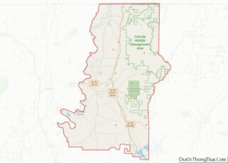
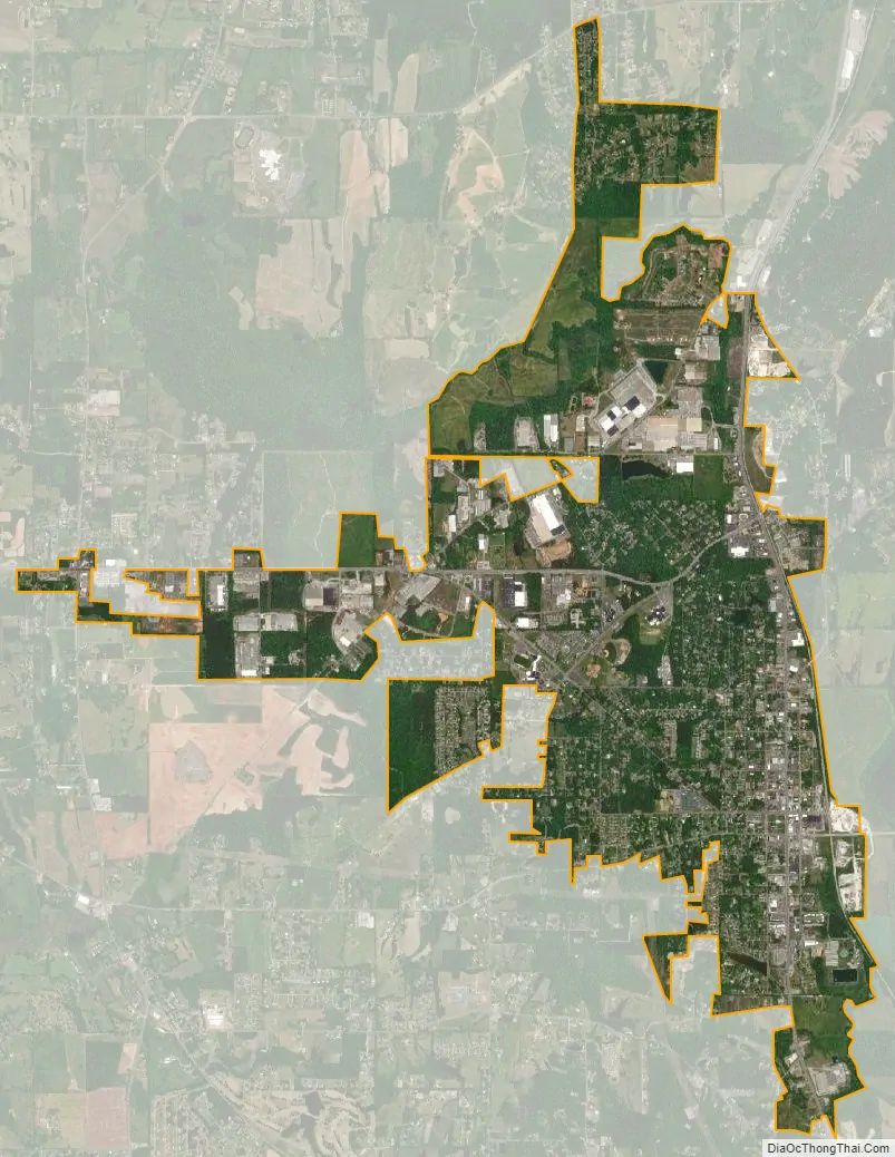
Chatsworth location map. Where is Chatsworth city?


History
Chatsworth was founded in 1905 as a depot on the Louisville and Nashville Railroad. It was incorporated as a town in 1906 and as a city in 1923. In 1915, the seat of Murray County transferred to Chatsworth from Spring Place.
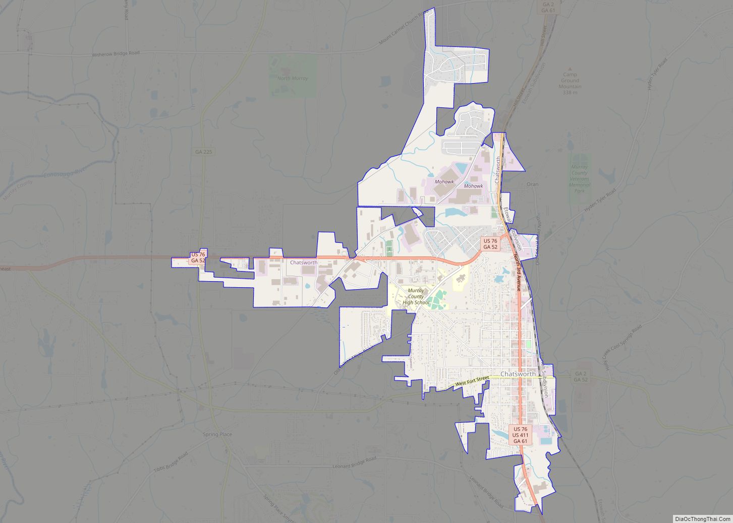
Chatsworth Road Map
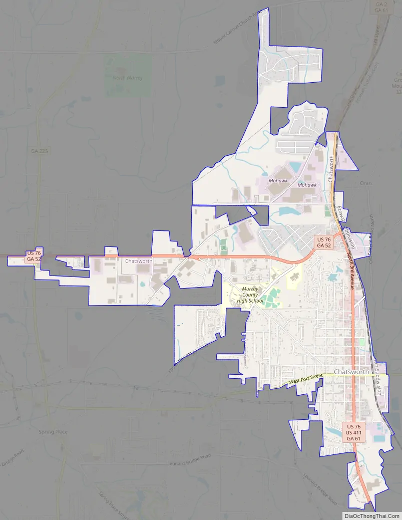
Chatsworth city Satellite Map
Geography
Chatsworth is located in central Murray County at 34°46′20″N 84°46′44″W / 34.77222°N 84.77889°W / 34.77222; -84.77889 (34.772336, -84.778977), in northwestern Georgia. It sits at an elevation of 750 feet (230 m) on the west side of the valley of Holly Creek, with 2,840-foot (870 m) Fort Mountain and 2,780-foot (850 m) Cohutta Mountain rising over the valley to the east.
U.S. Routes 76 and 411 pass through the center of town on Third Avenue. US 76 leads 13 miles (21 km) west to Dalton and southeast 25 miles (40 km) to Ellijay, while US 411 leads south 24 miles (39 km) to Fairmount and north 31 miles (50 km) to Benton, Tennessee. Georgia State Routes 2 and 52 run together out of Chatsworth to the east, climbing into the Cohutta Mountains and passing through Fort Mountain State Park 7 miles (11 km) east of the city center.
According to the United States Census Bureau, Chatsworth has a total area of 5.1 square miles (13 km), of which 0.01 square miles (0.03 km), or 0.18%, are water. Holly Creek, which runs along the eastern edge of the city, is a south- and west-flowing tributary of the Conasauga River, part of the Oostanaula/Coosa/Alabama River watershed.
See also
Map of Georgia State and its subdivision:- Appling
- Atkinson
- Bacon
- Baker
- Baldwin
- Banks
- Barrow
- Bartow
- Ben Hill
- Berrien
- Bibb
- Bleckley
- Brantley
- Brooks
- Bryan
- Bulloch
- Burke
- Butts
- Calhoun
- Camden
- Candler
- Carroll
- Catoosa
- Charlton
- Chatham
- Chattahoochee
- Chattooga
- Cherokee
- Clarke
- Clay
- Clayton
- Clinch
- Cobb
- Coffee
- Colquitt
- Columbia
- Cook
- Coweta
- Crawford
- Crisp
- Dade
- Dawson
- Decatur
- DeKalb
- Dodge
- Dooly
- Dougherty
- Douglas
- Early
- Echols
- Effingham
- Elbert
- Emanuel
- Evans
- Fannin
- Fayette
- Floyd
- Forsyth
- Franklin
- Fulton
- Gilmer
- Glascock
- Glynn
- Gordon
- Grady
- Greene
- Gwinnett
- Habersham
- Hall
- Hancock
- Haralson
- Harris
- Hart
- Heard
- Henry
- Houston
- Irwin
- Jackson
- Jasper
- Jeff Davis
- Jefferson
- Jenkins
- Johnson
- Jones
- Lamar
- Lanier
- Laurens
- Lee
- Liberty
- Lincoln
- Long
- Lowndes
- Lumpkin
- Macon
- Madison
- Marion
- McDuffie
- McIntosh
- Meriwether
- Miller
- Mitchell
- Monroe
- Montgomery
- Morgan
- Murray
- Muscogee
- Newton
- Oconee
- Oglethorpe
- Paulding
- Peach
- Pickens
- Pierce
- Pike
- Polk
- Pulaski
- Putnam
- Quitman
- Rabun
- Randolph
- Richmond
- Rockdale
- Schley
- Screven
- Seminole
- Spalding
- Stephens
- Stewart
- Sumter
- Talbot
- Taliaferro
- Tattnall
- Taylor
- Telfair
- Terrell
- Thomas
- Tift
- Toombs
- Towns
- Treutlen
- Troup
- Turner
- Twiggs
- Union
- Upson
- Walker
- Walton
- Ware
- Warren
- Washington
- Wayne
- Webster
- Wheeler
- White
- Whitfield
- Wilcox
- Wilkes
- Wilkinson
- Worth
- Alabama
- Alaska
- Arizona
- Arkansas
- California
- Colorado
- Connecticut
- Delaware
- District of Columbia
- Florida
- Georgia
- Hawaii
- Idaho
- Illinois
- Indiana
- Iowa
- Kansas
- Kentucky
- Louisiana
- Maine
- Maryland
- Massachusetts
- Michigan
- Minnesota
- Mississippi
- Missouri
- Montana
- Nebraska
- Nevada
- New Hampshire
- New Jersey
- New Mexico
- New York
- North Carolina
- North Dakota
- Ohio
- Oklahoma
- Oregon
- Pennsylvania
- Rhode Island
- South Carolina
- South Dakota
- Tennessee
- Texas
- Utah
- Vermont
- Virginia
- Washington
- West Virginia
- Wisconsin
- Wyoming