Cartersville is a city in Bartow County, Georgia, United States; it is located within the northwest edge of the Atlanta metropolitan area. As of the 2020 census, the city had a population of 23,187. Cartersville is the county seat of Bartow County.
| Name: | Cartersville city |
|---|---|
| LSAD Code: | 25 |
| LSAD Description: | city (suffix) |
| State: | Georgia |
| County: | Bartow County |
| Incorporated: | 1850 |
| Elevation: | 787 ft (240 m) |
| Total Area: | 28.74 sq mi (74.44 km²) |
| Land Area: | 28.62 sq mi (74.12 km²) |
| Water Area: | 0.12 sq mi (0.32 km²) |
| Total Population: | 23,187 |
| Population Density: | 810.20/sq mi (312.82/km²) |
| Area code: | 770/678/470 |
| FIPS code: | 1313688 |
| GNISfeature ID: | 0355017 |
| Website: | www.cityofcartersville.org |
Online Interactive Map
Click on ![]() to view map in "full screen" mode.
to view map in "full screen" mode.
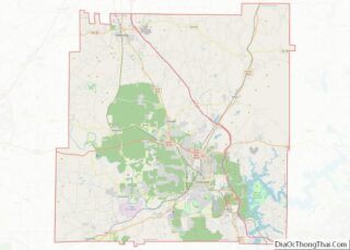
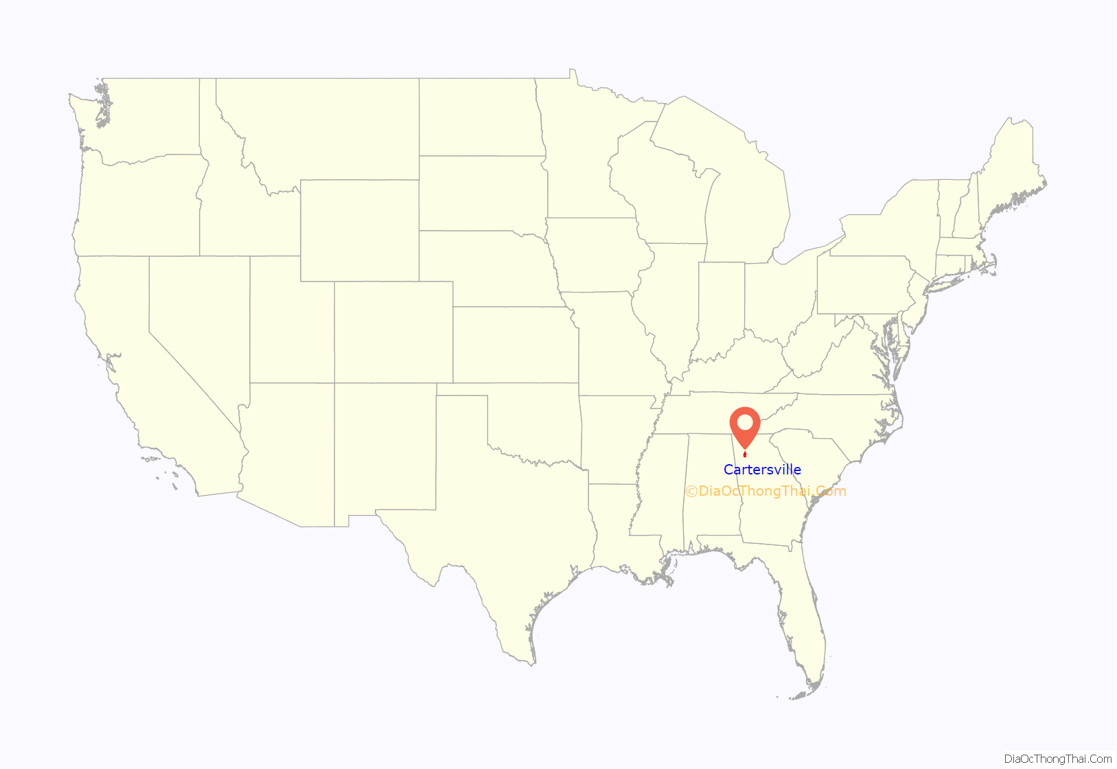
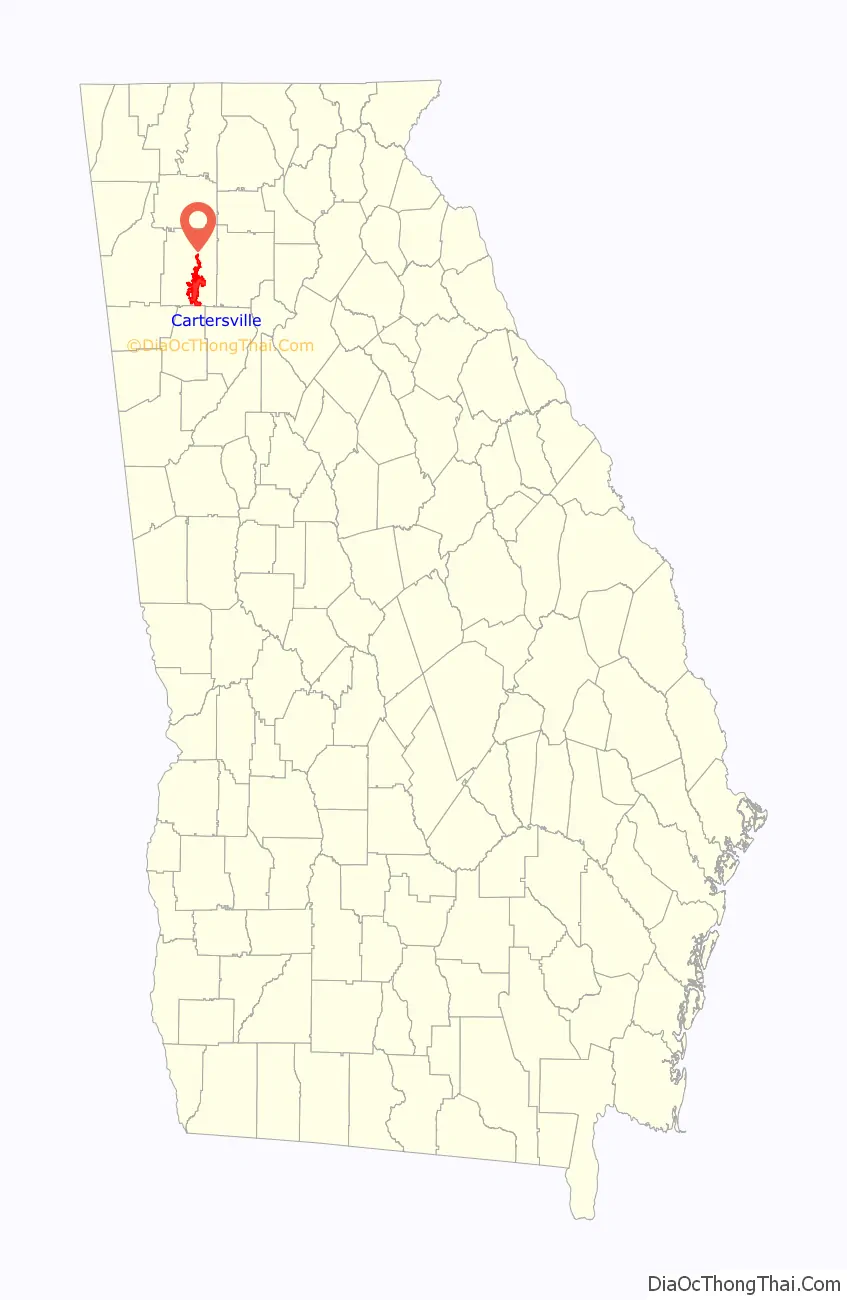
Cartersville location map. Where is Cartersville city?
History
Cartersville, originally known as Birmingham, was founded by English-Americans in 1832. The town was incorporated as Cartersville in 1854. The present name is for Col. Farish Carter of Milledgeville, the owner of a large plantation. Cartersville was the long-time home of Amos Akerman, U.S. Attorney General under President Ulysses S. Grant; in that office he spearheaded the federal prosecution of members of the Ku Klux Klan and was one of the most important public servants of the Reconstruction era.
Cartersville was designated the seat of Bartow County in 1867 following the destruction of Cassville by Sherman’s March to the Sea in American Civil War. Cartersville was incorporated as a city in 1872.
On February 26, 1916 a group of one hundred men and boys took Jesse McCorkle from the jail and hanged him from a tree in front of the city hall and riddled his body with bullets.
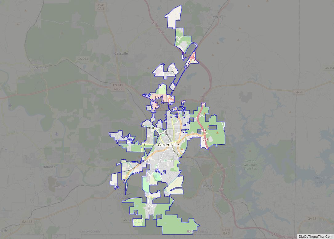
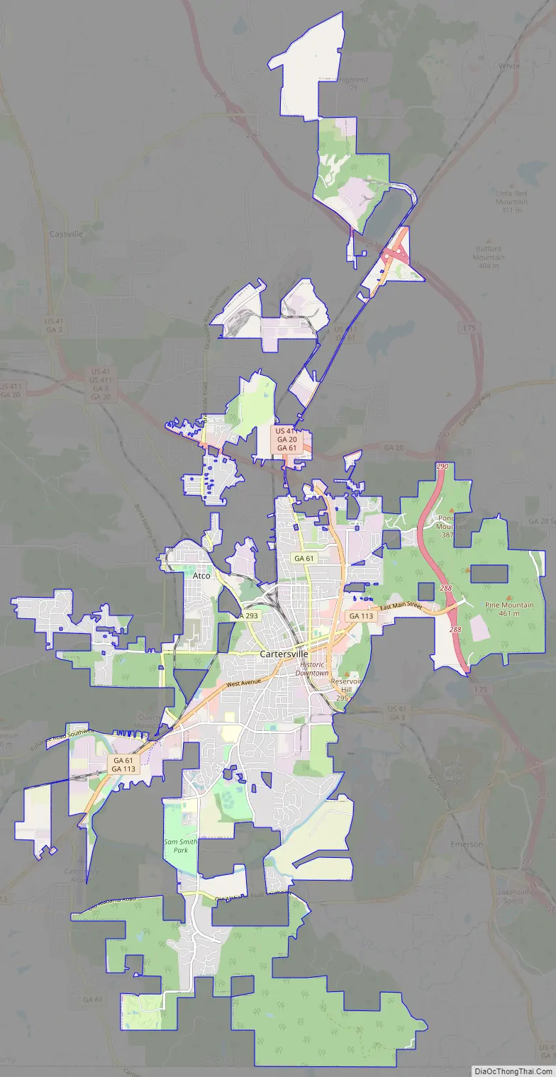
Cartersville Road Map
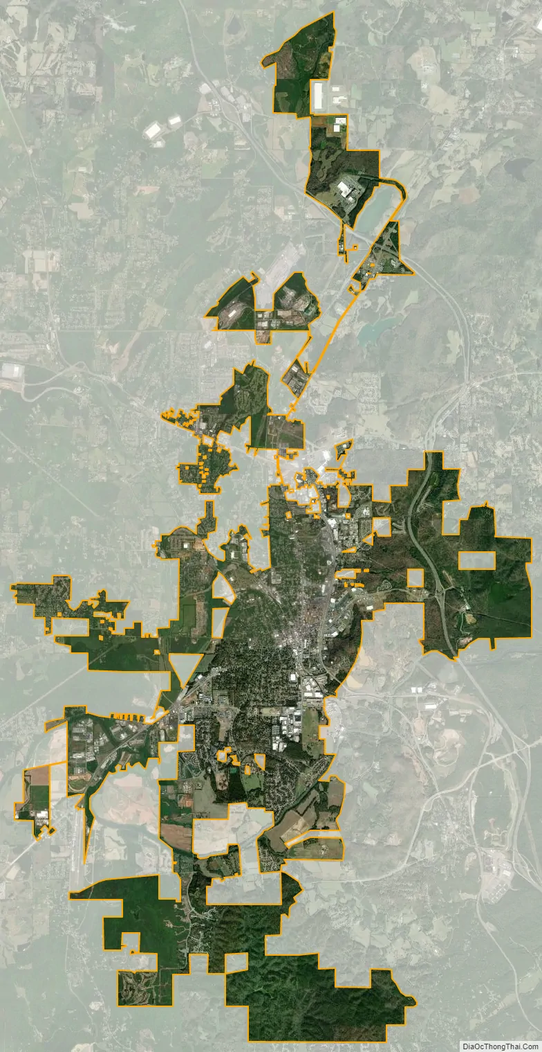
Cartersville city Satellite Map
Geography
Cartersville is located in south-central Bartow County, 42 miles (68 km) northwest of downtown Atlanta and 76 miles (122 km) southeast of Chattanooga, Tennessee.
The Etowah River flows through a broad valley south of the downtown, leading west to Rome, where it forms the Coosa River, a tributary of the Alabama River. The city limits extend eastward, upriver, as far as Allatoona Dam, which forms Lake Allatoona, a large U.S. Army Corps of Engineers reservoir. Red Top Mountain State Park sits on a peninsula in the lake, just outside the city limits. Nancy Creek also flows in the vicinity. The highest point in the city is 1,562 feet (476 m) at the summit of Pine Mountain.
According to the U.S. Census Bureau, Cartersville has a total area of 29.3 square miles (75.9 km), of which 29.2 square miles (75.5 km) is land and 0.15 square miles (0.4 km), or 0.59%, is water.
Transportation
Interstate 75, the major north-south route through the area, passes through the eastern edge of the city, with access from five exits: Exit 285 just south of the city limits in Emerson, Exit 288 (East Main Street) closest to downtown, and exits 290, 293, and 296 along the city’s northern outskirts. U.S. Highway 41, which is concurrent with State Route 3, is an older, parallel highway to Interstate 75 that goes through the eastern edge of downtown, leading north to Calhoun and Dalton and south to Marietta. U.S. Highway 411 passes through the northern edge of the city, leading west to Rome and north to Chatsworth. State Route 20 runs west to Rome concurrent with U.S. Highway 411 and runs east to Canton. State Route 61 runs north to White concurrent with U.S. Highway 411 and runs south to Dallas, Georgia. State Route 113 runs southwesterly to Rockmart. State Route 293 runs west-northwest to Kingston.
Cartersville Airport is a public use airport located in the west side of Cartersville on State Route 61. It is the home base of Phoenix Air.
Cartersville area communities
The following communities border the city:
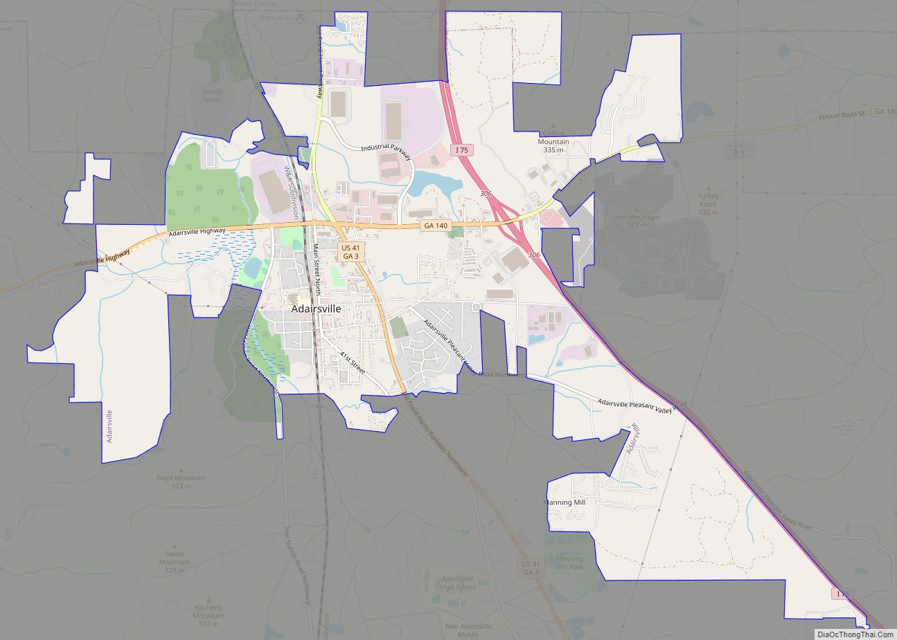
- Adairsville (north-northwest)
- Cassville (north)
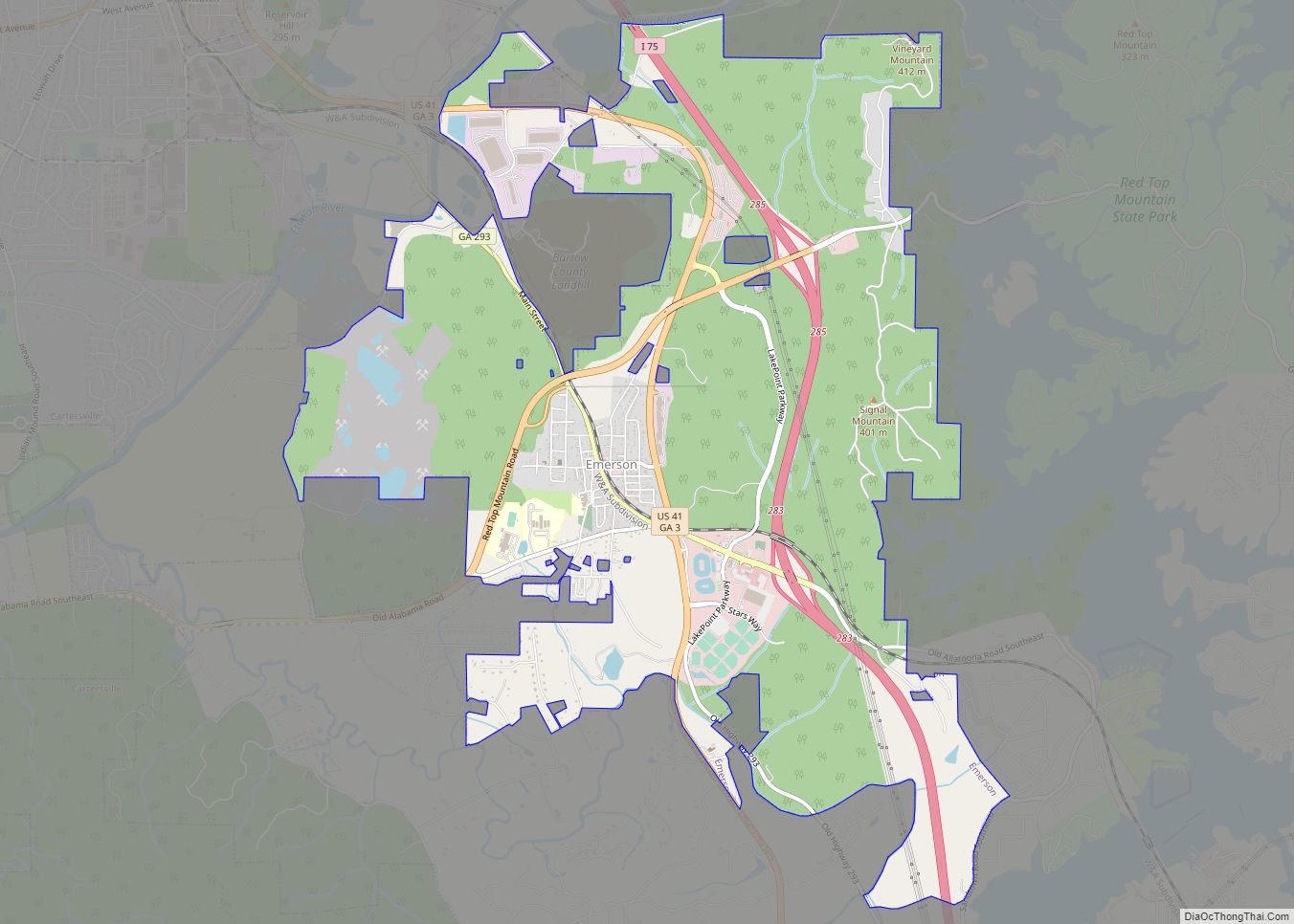
- Emerson (south)
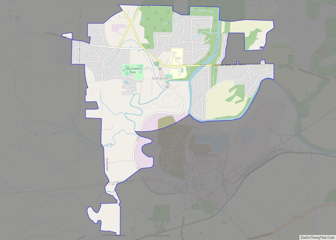
- Euharlee (west)
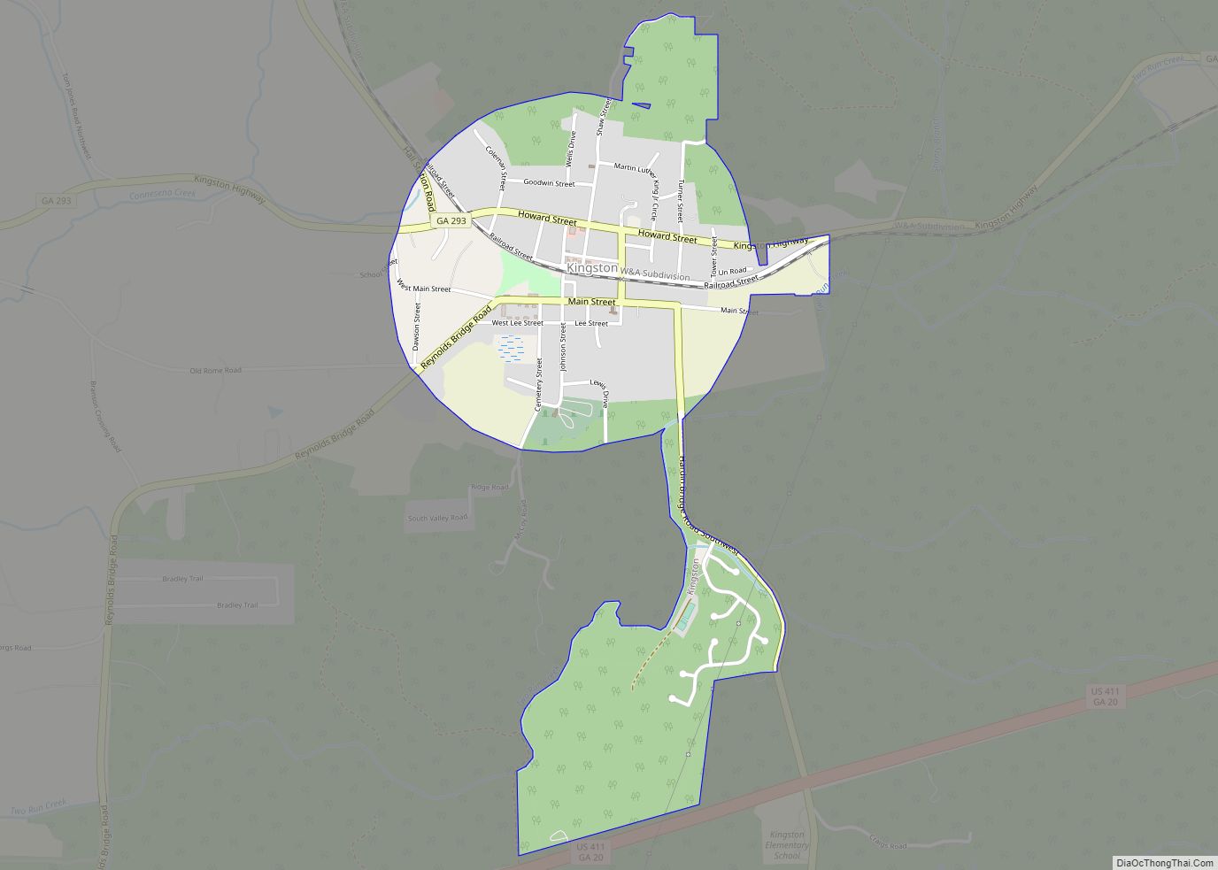
- Kingston (northwest)
- Stilesboro (southwest)
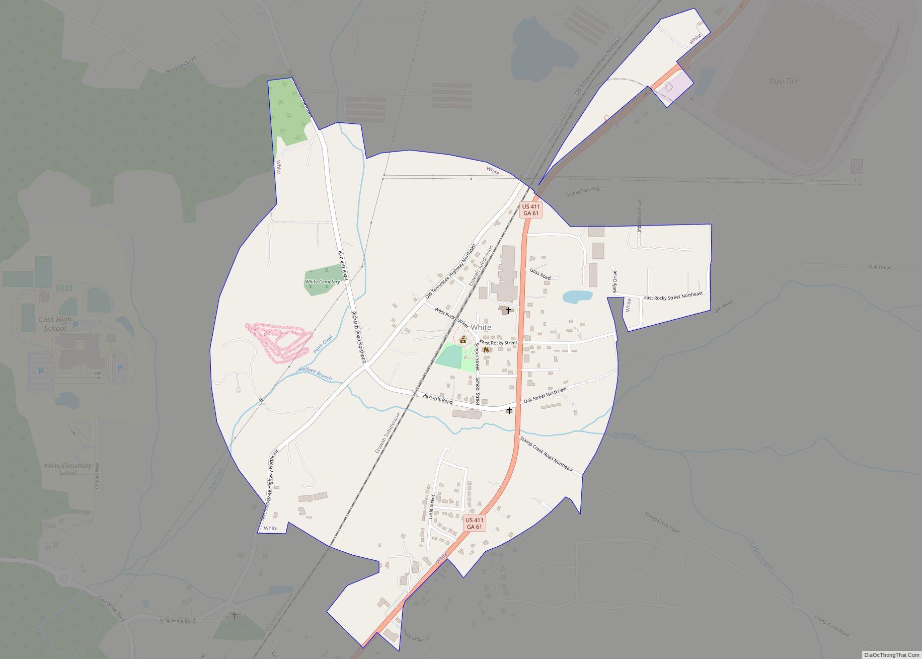
- White (northern)
- Grassdale Road (west)
Climate
See also
Map of Georgia State and its subdivision:- Appling
- Atkinson
- Bacon
- Baker
- Baldwin
- Banks
- Barrow
- Bartow
- Ben Hill
- Berrien
- Bibb
- Bleckley
- Brantley
- Brooks
- Bryan
- Bulloch
- Burke
- Butts
- Calhoun
- Camden
- Candler
- Carroll
- Catoosa
- Charlton
- Chatham
- Chattahoochee
- Chattooga
- Cherokee
- Clarke
- Clay
- Clayton
- Clinch
- Cobb
- Coffee
- Colquitt
- Columbia
- Cook
- Coweta
- Crawford
- Crisp
- Dade
- Dawson
- Decatur
- DeKalb
- Dodge
- Dooly
- Dougherty
- Douglas
- Early
- Echols
- Effingham
- Elbert
- Emanuel
- Evans
- Fannin
- Fayette
- Floyd
- Forsyth
- Franklin
- Fulton
- Gilmer
- Glascock
- Glynn
- Gordon
- Grady
- Greene
- Gwinnett
- Habersham
- Hall
- Hancock
- Haralson
- Harris
- Hart
- Heard
- Henry
- Houston
- Irwin
- Jackson
- Jasper
- Jeff Davis
- Jefferson
- Jenkins
- Johnson
- Jones
- Lamar
- Lanier
- Laurens
- Lee
- Liberty
- Lincoln
- Long
- Lowndes
- Lumpkin
- Macon
- Madison
- Marion
- McDuffie
- McIntosh
- Meriwether
- Miller
- Mitchell
- Monroe
- Montgomery
- Morgan
- Murray
- Muscogee
- Newton
- Oconee
- Oglethorpe
- Paulding
- Peach
- Pickens
- Pierce
- Pike
- Polk
- Pulaski
- Putnam
- Quitman
- Rabun
- Randolph
- Richmond
- Rockdale
- Schley
- Screven
- Seminole
- Spalding
- Stephens
- Stewart
- Sumter
- Talbot
- Taliaferro
- Tattnall
- Taylor
- Telfair
- Terrell
- Thomas
- Tift
- Toombs
- Towns
- Treutlen
- Troup
- Turner
- Twiggs
- Union
- Upson
- Walker
- Walton
- Ware
- Warren
- Washington
- Wayne
- Webster
- Wheeler
- White
- Whitfield
- Wilcox
- Wilkes
- Wilkinson
- Worth
- Alabama
- Alaska
- Arizona
- Arkansas
- California
- Colorado
- Connecticut
- Delaware
- District of Columbia
- Florida
- Georgia
- Hawaii
- Idaho
- Illinois
- Indiana
- Iowa
- Kansas
- Kentucky
- Louisiana
- Maine
- Maryland
- Massachusetts
- Michigan
- Minnesota
- Mississippi
- Missouri
- Montana
- Nebraska
- Nevada
- New Hampshire
- New Jersey
- New Mexico
- New York
- North Carolina
- North Dakota
- Ohio
- Oklahoma
- Oregon
- Pennsylvania
- Rhode Island
- South Carolina
- South Dakota
- Tennessee
- Texas
- Utah
- Vermont
- Virginia
- Washington
- West Virginia
- Wisconsin
- Wyoming