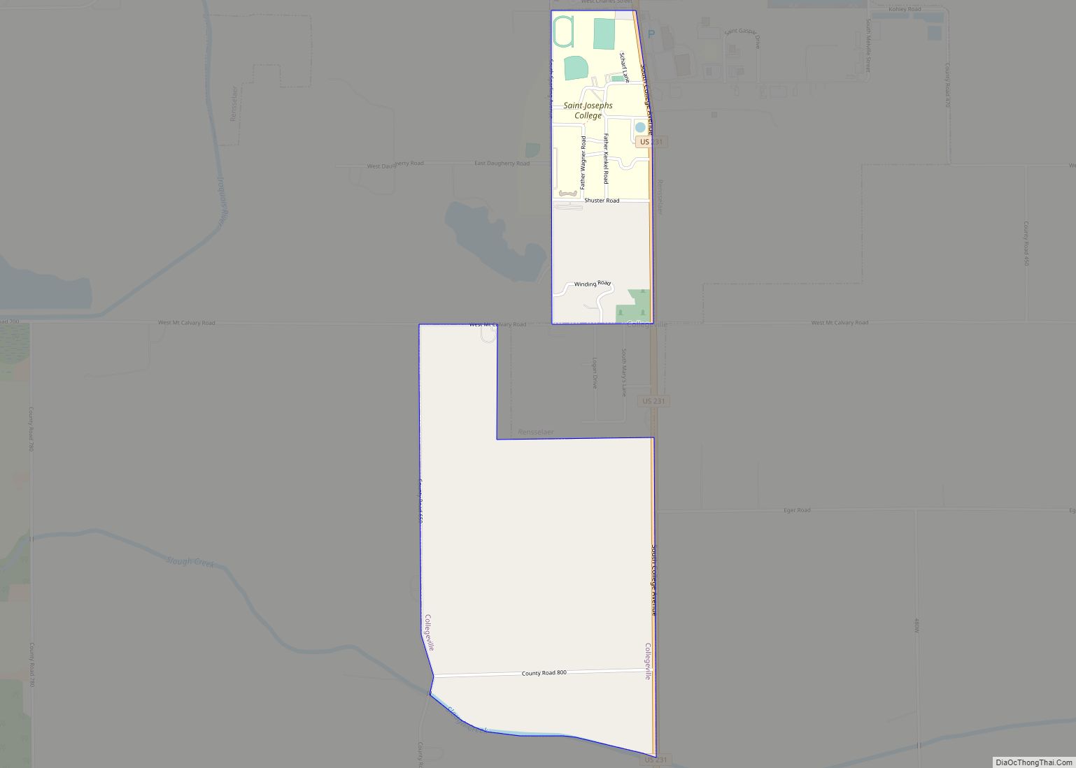
Collegeville is a census-designated place (CDP) in Jasper County, Indiana, United States. The population was 330 at the 2010 census. Collegeville is home to the now-closed Saint Joseph’s College, the source of the town’s name. Collegeville CDP overview: Name: Collegeville CDP LSAD Code: 57 LSAD Description: CDP (suffix) State: Indiana County: Jasper County Elevation: 656 ft ... Read more
Indiana Cities and Places
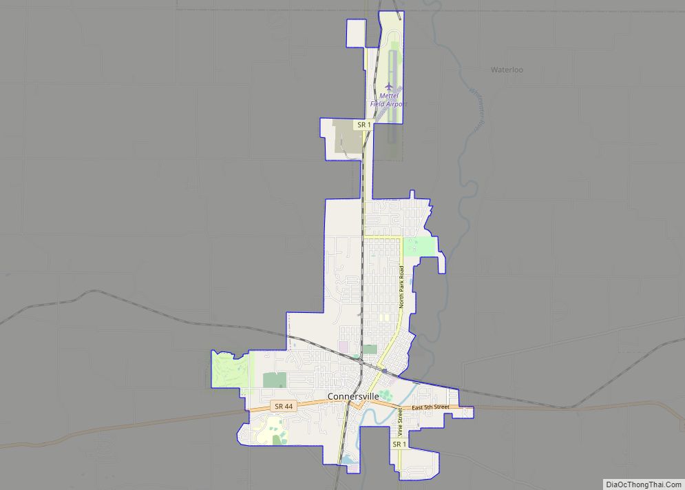
Connersville is a city in Fayette County, east central Indiana, United States, 66 miles (106 km) east by southeast of Indianapolis. The population was 13,481 at the 2010 census. The city is the county seat of and the largest and only incorporated town in Fayette County. The city is in the center of a large rural ... Read more
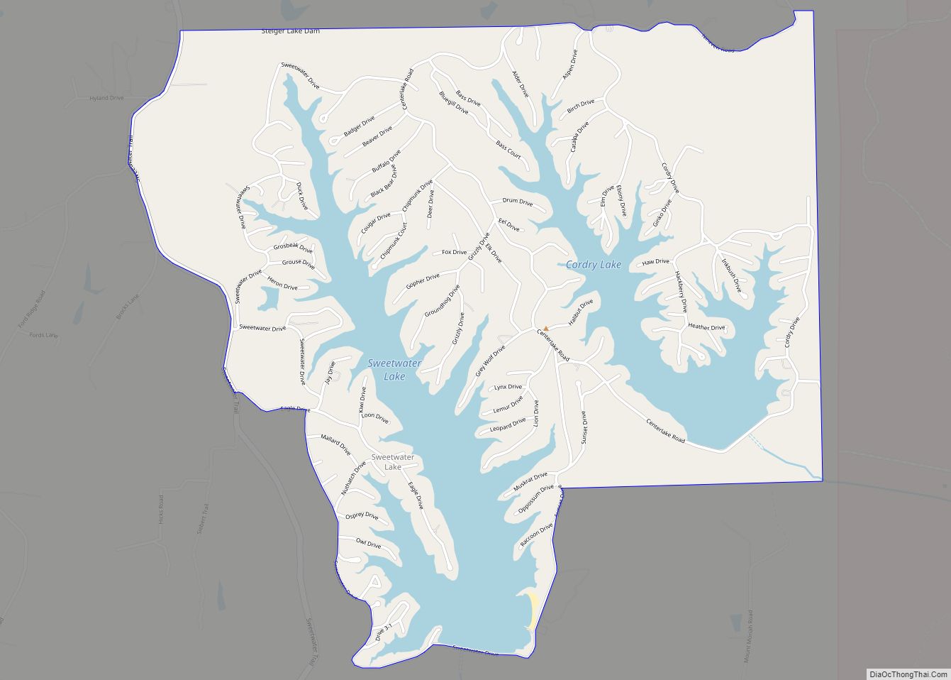
Cordry Sweetwater Lakes is a census-designated place (CDP) in Hamblen Township, Brown County, in the U.S. state of Indiana. The population was 1,128 at the 2010 census. Sweetwater Lake is 260 acres in size. Cordry Sweetwater Lakes CDP overview: Name: Cordry Sweetwater Lakes CDP LSAD Code: 57 LSAD Description: CDP (suffix) State: Indiana County: Brown ... Read more
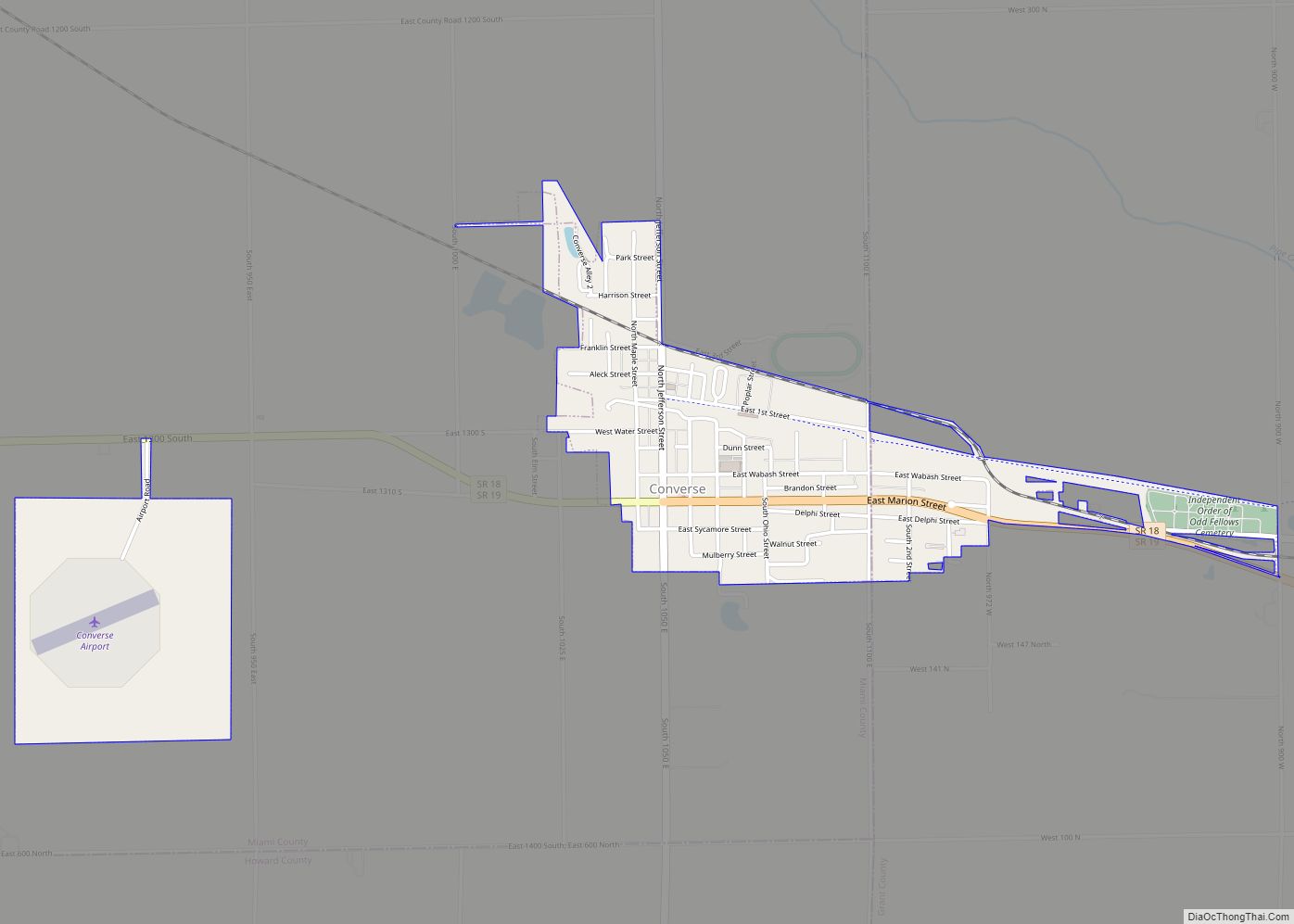
Converse is a town in Richland Township, Grant County, and Jackson Township, Miami County, in the U.S. state of Indiana. The population was 1,161 at the 2020 census. Converse town overview: Name: Converse town LSAD Code: 43 LSAD Description: town (suffix) State: Indiana County: Grant County, Miami County Elevation: 830 ft (253 m) Total Area: 0.99 sq mi (2.57 km²) ... Read more
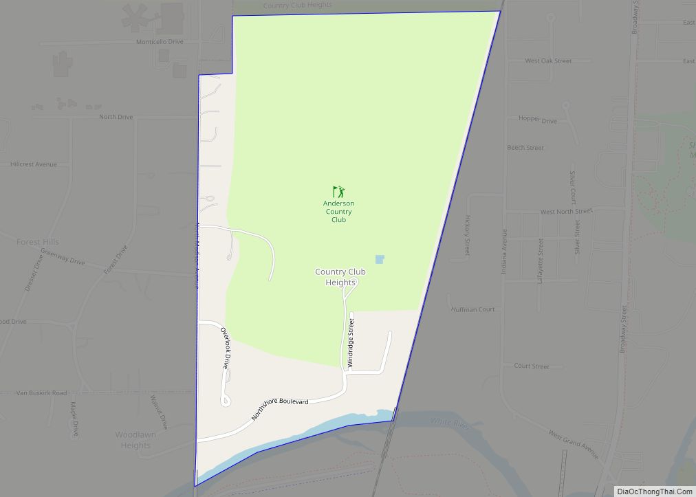
Country Club Heights is a town in Anderson Township, Madison County, Indiana, United States. The population was 98 at the 2020 census. Country Club Heights town overview: Name: Country Club Heights town LSAD Code: 43 LSAD Description: town (suffix) State: Indiana County: Madison County Elevation: 879 ft (268 m) Total Area: 0.29 sq mi (0.76 km²) Land Area: 0.29 sq mi (0.76 km²) ... Read more
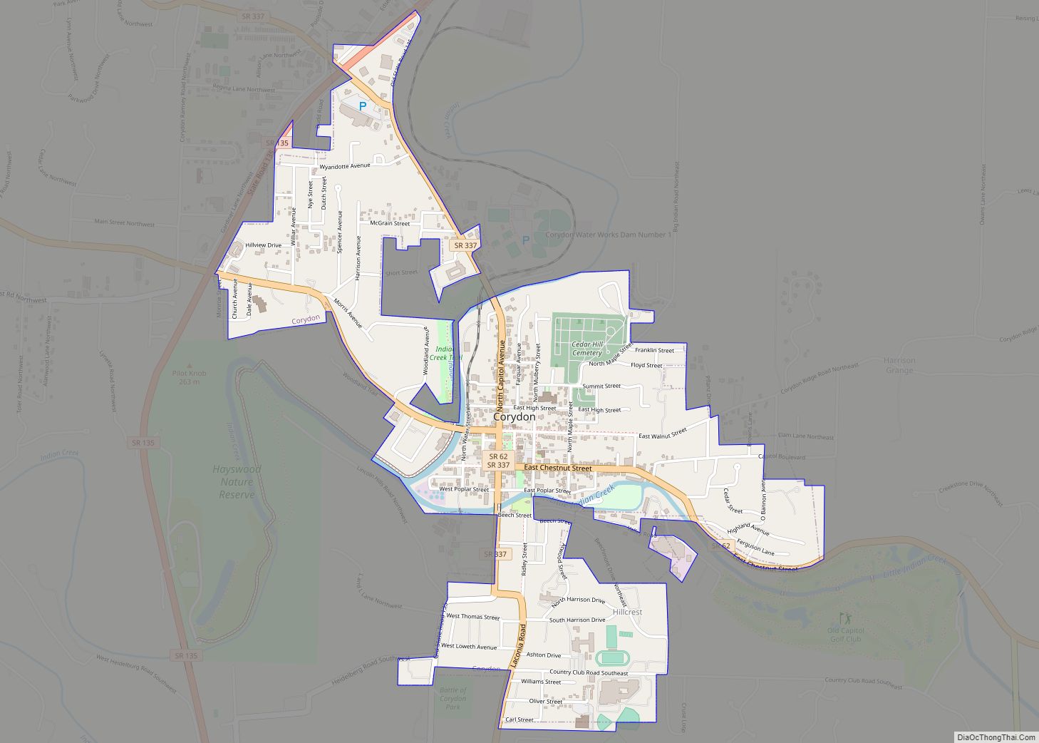
Corydon is a town in Harrison Township, Harrison County, Indiana. Located north of the Ohio River in the extreme southern part of the U.S. state of Indiana, it is the seat of government for Harrison County. Corydon was founded in 1808 and served as the capital of the Indiana Territory from 1813 to 1816. It ... Read more
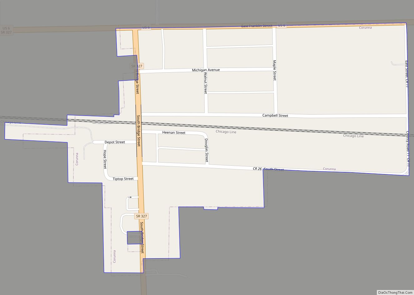
Corunna is a town in Richland Township, DeKalb County, Indiana, United States. The population was 236 at the 2020 census estimate. Corunna town overview: Name: Corunna town LSAD Code: 43 LSAD Description: town (suffix) State: Indiana County: DeKalb County Elevation: 974 ft (297 m) Total Area: 0.18 sq mi (0.46 km²) Land Area: 0.18 sq mi (0.46 km²) Water Area: 0.00 sq mi (0.00 km²) Total ... Read more
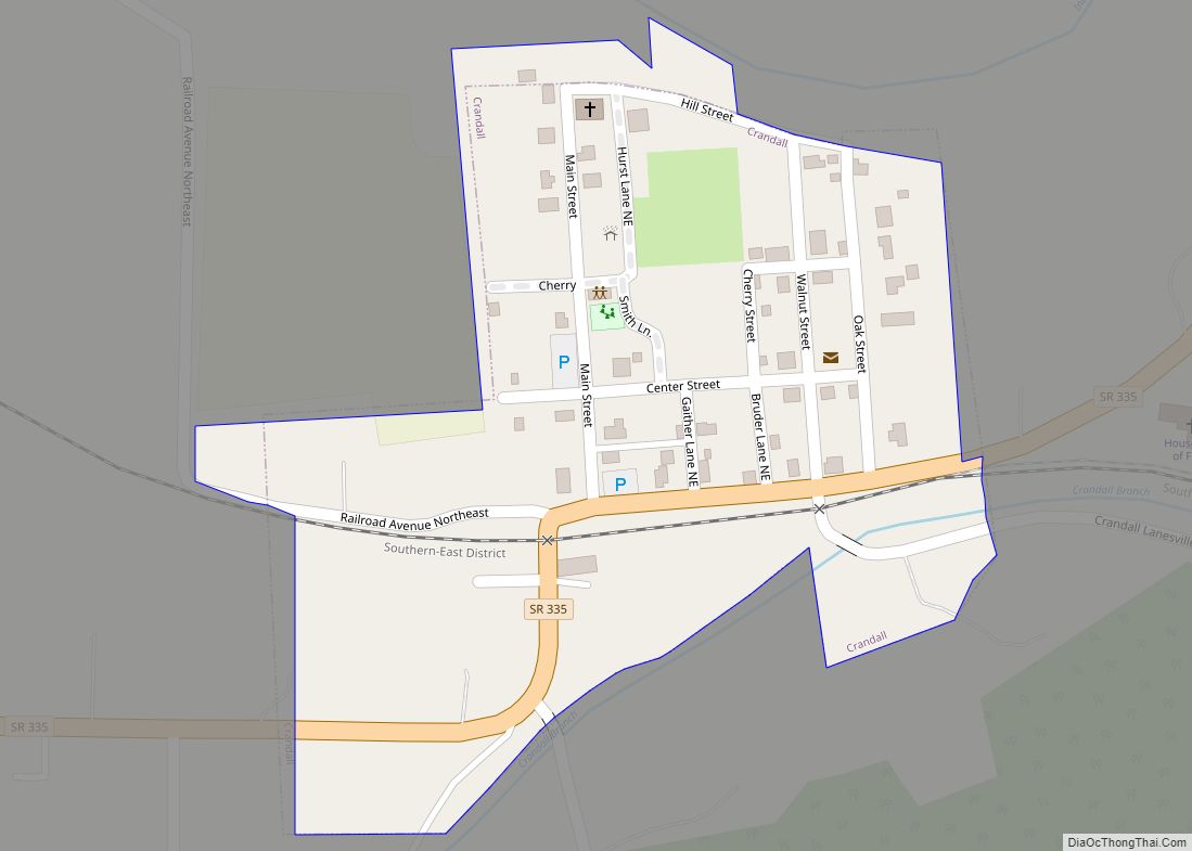
Crandall is a town in Jackson Township, Harrison County, Indiana, United States. The population was 152 at the 2010 census. Crandall town overview: Name: Crandall town LSAD Code: 43 LSAD Description: town (suffix) State: Indiana County: Harrison County Elevation: 659 ft (201 m) Total Area: 0.10 sq mi (0.27 km²) Land Area: 0.10 sq mi (0.27 km²) Water Area: 0.00 sq mi (0.00 km²) Total Population: ... Read more
Covington is a city in, and the county seat of, Fountain County, Indiana, United States. The population was 2,645 at the 2010 census. Covington city overview: Name: Covington city LSAD Code: 25 LSAD Description: city (suffix) State: Indiana County: Fountain County Elevation: 564 ft (172 m) Total Area: 1.29 sq mi (3.34 km²) Land Area: 1.29 sq mi (3.34 km²) Water Area: 0.00 sq mi ... Read more
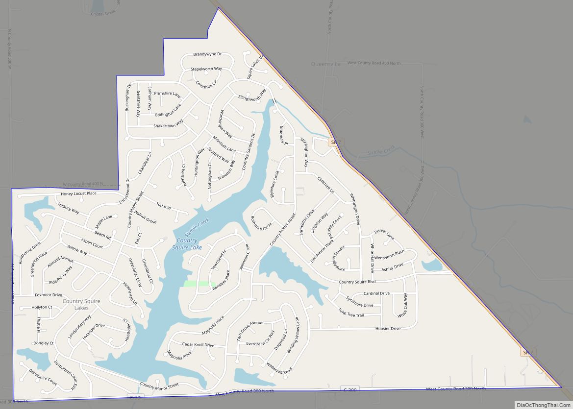
Country Squire Lakes is an unincorporated community and census-designated place (CDP) in Geneva Township, Jennings County, Indiana, United States. As of the 2010 census it had a population of 3,571. It was founded in 1973 by a property developer as a planned community built around several artificial lakes. Country Squire Lakes CDP overview: Name: Country ... Read more
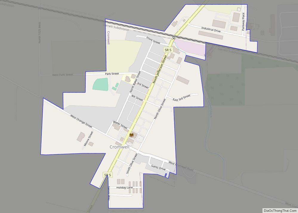
Cromwell is a town in Sparta Township, Noble County, in the U.S. state of Indiana. The population was 512 at the 2010 census. Cromwell town overview: Name: Cromwell town LSAD Code: 43 LSAD Description: town (suffix) State: Indiana County: Noble County Elevation: 958 ft (292 m) Total Area: 0.29 sq mi (0.74 km²) Land Area: 0.29 sq mi (0.74 km²) Water Area: 0.00 sq mi ... Read more
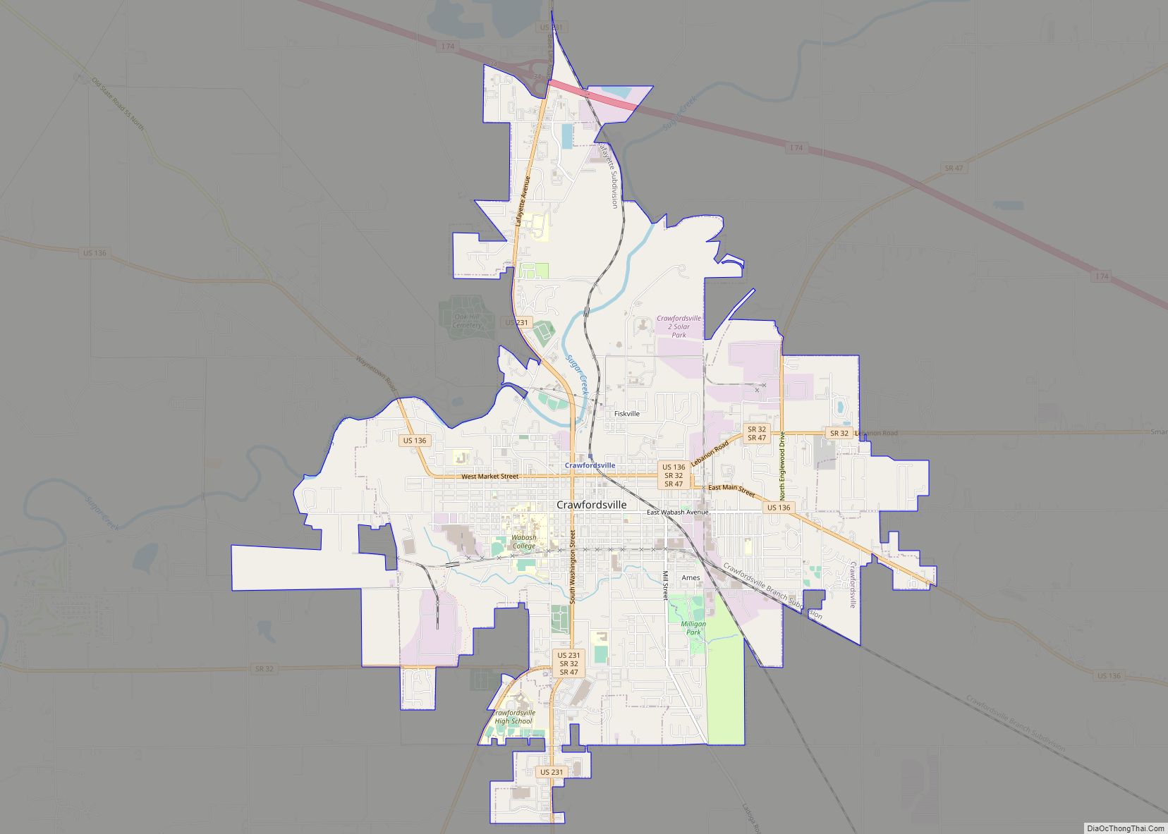
Crawfordsville is a city in Montgomery County in west central Indiana, United States, 49 miles (79 km) west by northwest of Indianapolis. As of the 2020 census, the city had a population of 16,306. The city is the county seat of Montgomery County, the only chartered city and largest populated place in the county. Crawfordsville is ... Read more
