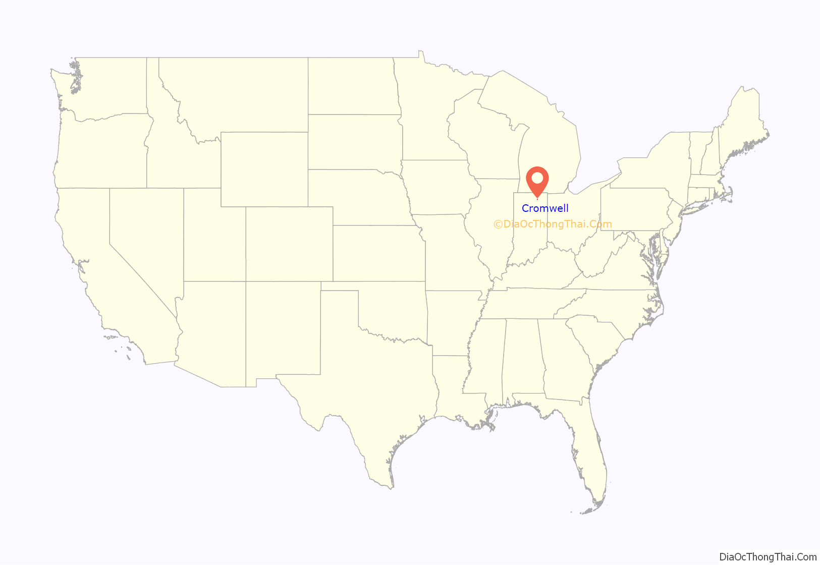
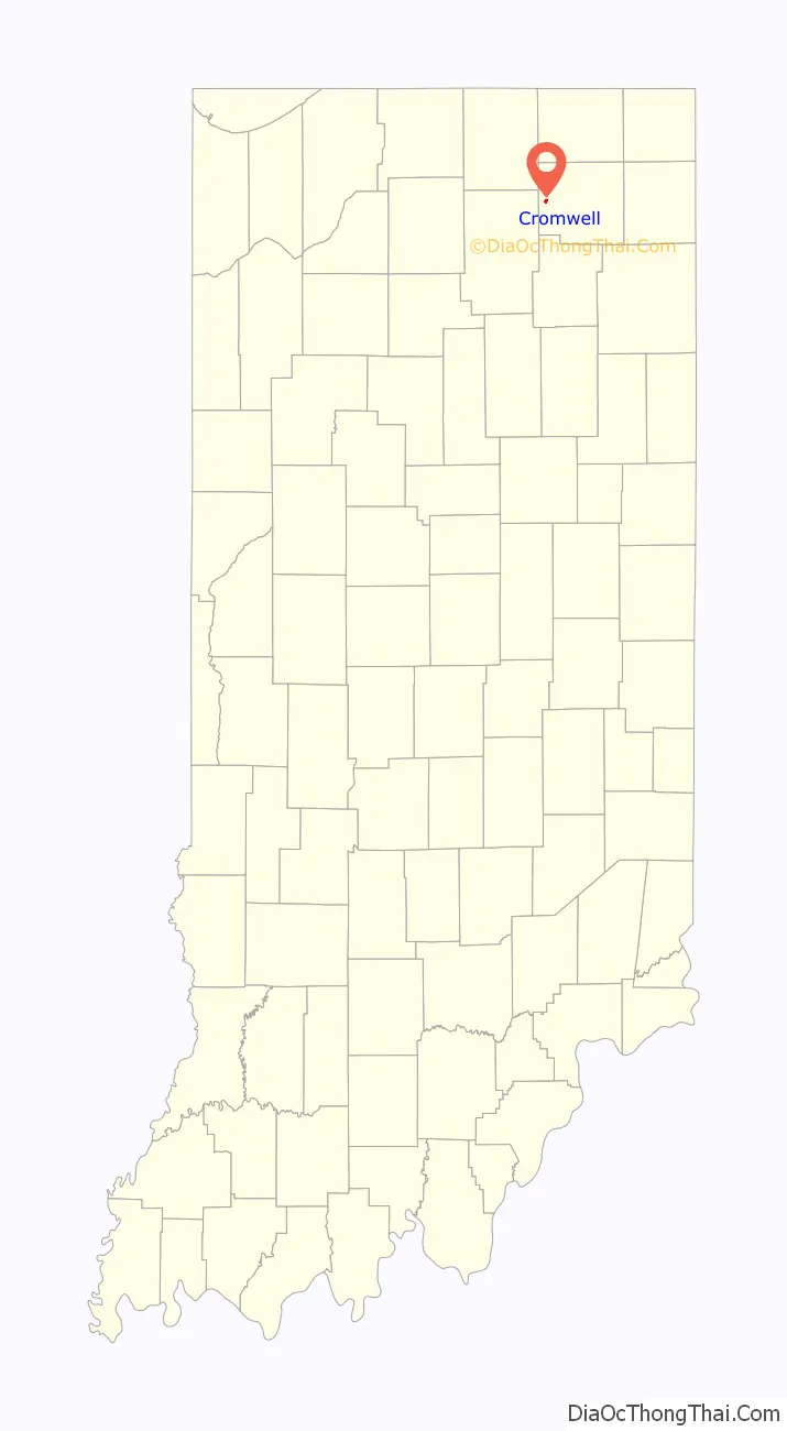
Cromwell is a town in Sparta Township, Noble County, in the U.S. state of Indiana. The population was 512 at the 2010 census.
| Name: | Cromwell town |
|---|---|
| LSAD Code: | 43 |
| LSAD Description: | town (suffix) |
| State: | Indiana |
| County: | Noble County |
| Elevation: | 958 ft (292 m) |
| Total Area: | 0.29 sq mi (0.74 km²) |
| Land Area: | 0.29 sq mi (0.74 km²) |
| Water Area: | 0.00 sq mi (0.00 km²) |
| Total Population: | 487 |
| Population Density: | 1,696.86/sq mi (655.55/km²) |
| ZIP code: | 46732 |
| Area code: | 260 |
| FIPS code: | 1815994 |
| GNISfeature ID: | 433147 |
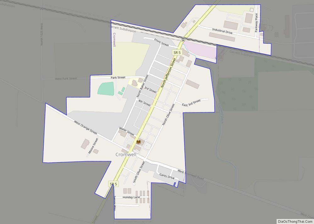
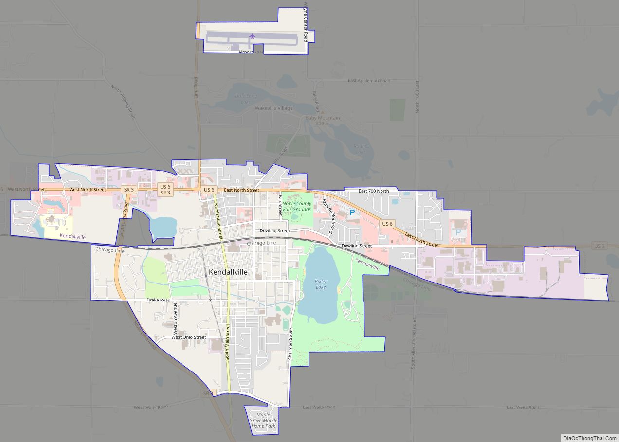
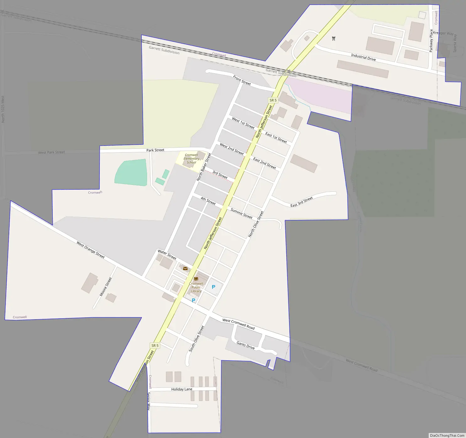
Online Interactive Map
Click on ![]() to view map in "full screen" mode.
to view map in "full screen" mode.
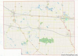
Cromwell location map. Where is Cromwell town?
History
Cromwell was platted in 1853, and so named for the fact its founder was an admirer of English politician Oliver Cromwell. A post office has been in operation at Cromwell since 1851.
The Cromwell Historic District was listed on the National Register of Historic Places in 2015.
Cromwell Road Map
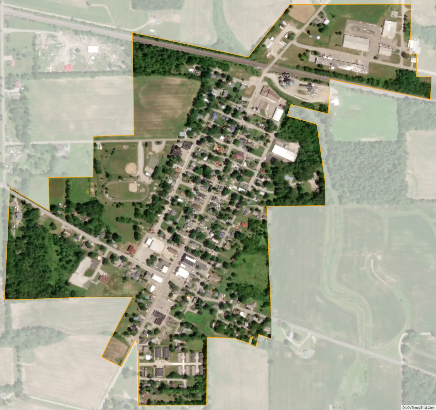
Cromwell city Satellite Map
Geography
Cromwell is located at 41°24′17″N 85°36′45″W / 41.40472°N 85.61250°W / 41.40472; -85.61250 (41.404591, -85.612512).
According to the 2010 census, Cromwell has a total area of 0.3 square miles (0.78 km), all land.
See also
Map of Indiana State and its subdivision:- Adams
- Allen
- Bartholomew
- Benton
- Blackford
- Boone
- Brown
- Carroll
- Cass
- Clark
- Clay
- Clinton
- Crawford
- Daviess
- De Kalb
- Dearborn
- Decatur
- Delaware
- Dubois
- Elkhart
- Fayette
- Floyd
- Fountain
- Franklin
- Fulton
- Gibson
- Grant
- Greene
- Hamilton
- Hancock
- Harrison
- Hendricks
- Henry
- Howard
- Huntington
- Jackson
- Jasper
- Jay
- Jefferson
- Jennings
- Johnson
- Knox
- Kosciusko
- LaGrange
- Lake
- Lake Michigan
- LaPorte
- Lawrence
- Madison
- Marion
- Marshall
- Martin
- Miami
- Monroe
- Montgomery
- Morgan
- Newton
- Noble
- Ohio
- Orange
- Owen
- Parke
- Perry
- Pike
- Porter
- Posey
- Pulaski
- Putnam
- Randolph
- Ripley
- Rush
- Saint Joseph
- Scott
- Shelby
- Spencer
- Starke
- Steuben
- Sullivan
- Switzerland
- Tippecanoe
- Tipton
- Union
- Vanderburgh
- Vermillion
- Vigo
- Wabash
- Warren
- Warrick
- Washington
- Wayne
- Wells
- White
- Whitley
- Alabama
- Alaska
- Arizona
- Arkansas
- California
- Colorado
- Connecticut
- Delaware
- District of Columbia
- Florida
- Georgia
- Hawaii
- Idaho
- Illinois
- Indiana
- Iowa
- Kansas
- Kentucky
- Louisiana
- Maine
- Maryland
- Massachusetts
- Michigan
- Minnesota
- Mississippi
- Missouri
- Montana
- Nebraska
- Nevada
- New Hampshire
- New Jersey
- New Mexico
- New York
- North Carolina
- North Dakota
- Ohio
- Oklahoma
- Oregon
- Pennsylvania
- Rhode Island
- South Carolina
- South Dakota
- Tennessee
- Texas
- Utah
- Vermont
- Virginia
- Washington
- West Virginia
- Wisconsin
- Wyoming