Crandall is a town in Jackson Township, Harrison County, Indiana, United States. The population was 152 at the 2010 census.
| Name: | Crandall town |
|---|---|
| LSAD Code: | 43 |
| LSAD Description: | town (suffix) |
| State: | Indiana |
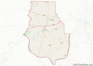
| County: | Harrison County |
| Elevation: | 659 ft (201 m) |
| Total Area: | 0.10 sq mi (0.27 km²) |
| Land Area: | 0.10 sq mi (0.27 km²) |
| Water Area: | 0.00 sq mi (0.00 km²) |
| Total Population: | 134 |
| Population Density: | 1,288.46/sq mi (497.33/km²) |
| ZIP code: | 47114 |
| Area code: | 812 |
| FIPS code: | 1815634 |
| GNISfeature ID: | 0433086 |
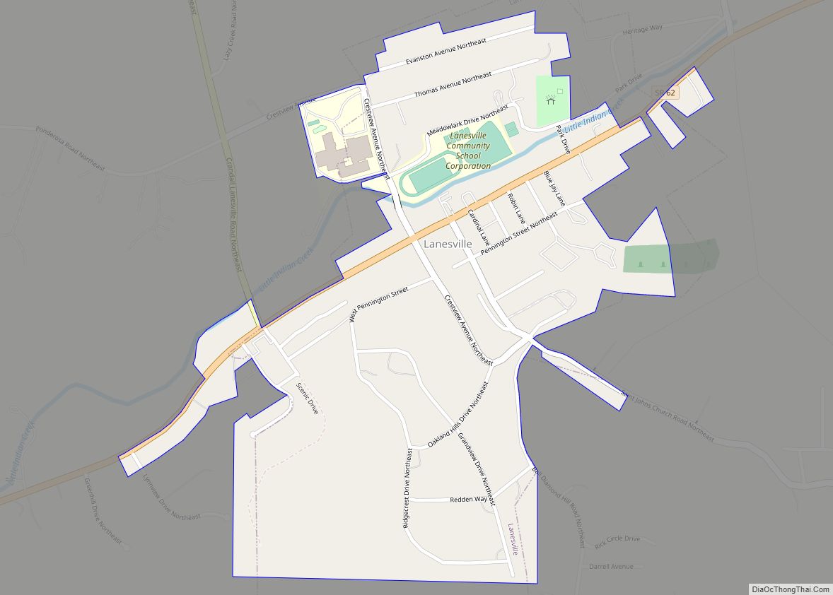
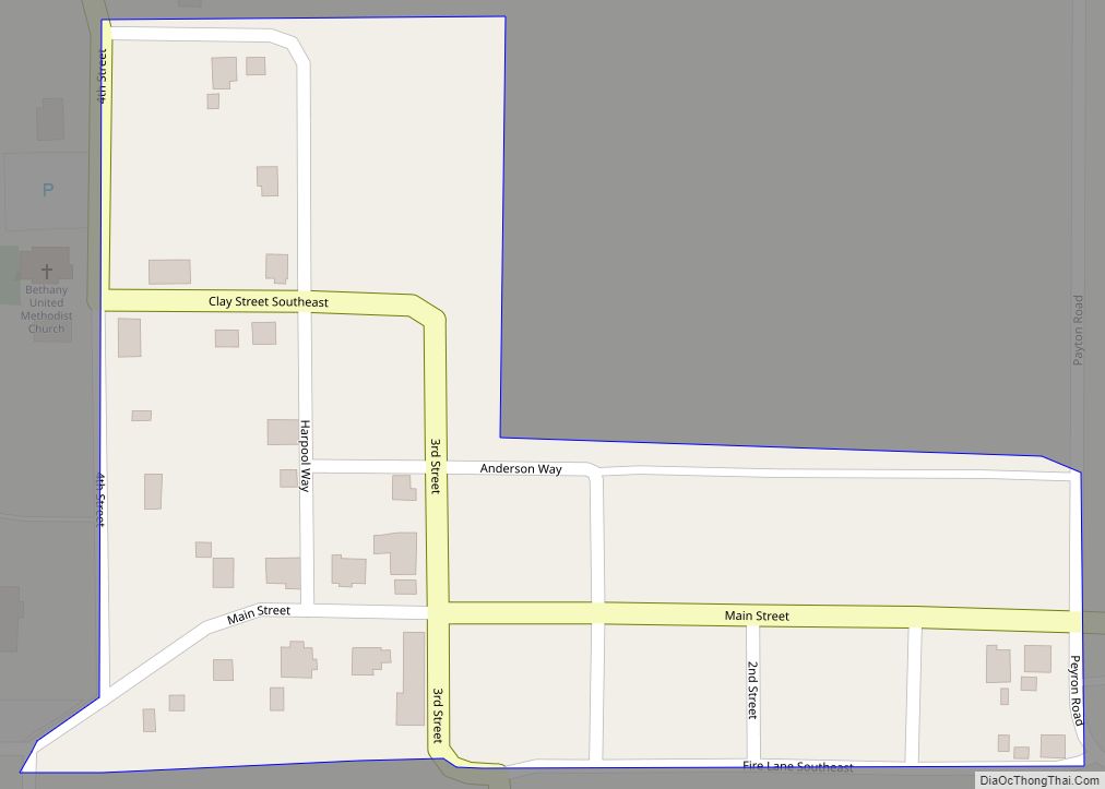
Online Interactive Map
Click on ![]() to view map in "full screen" mode.
to view map in "full screen" mode.
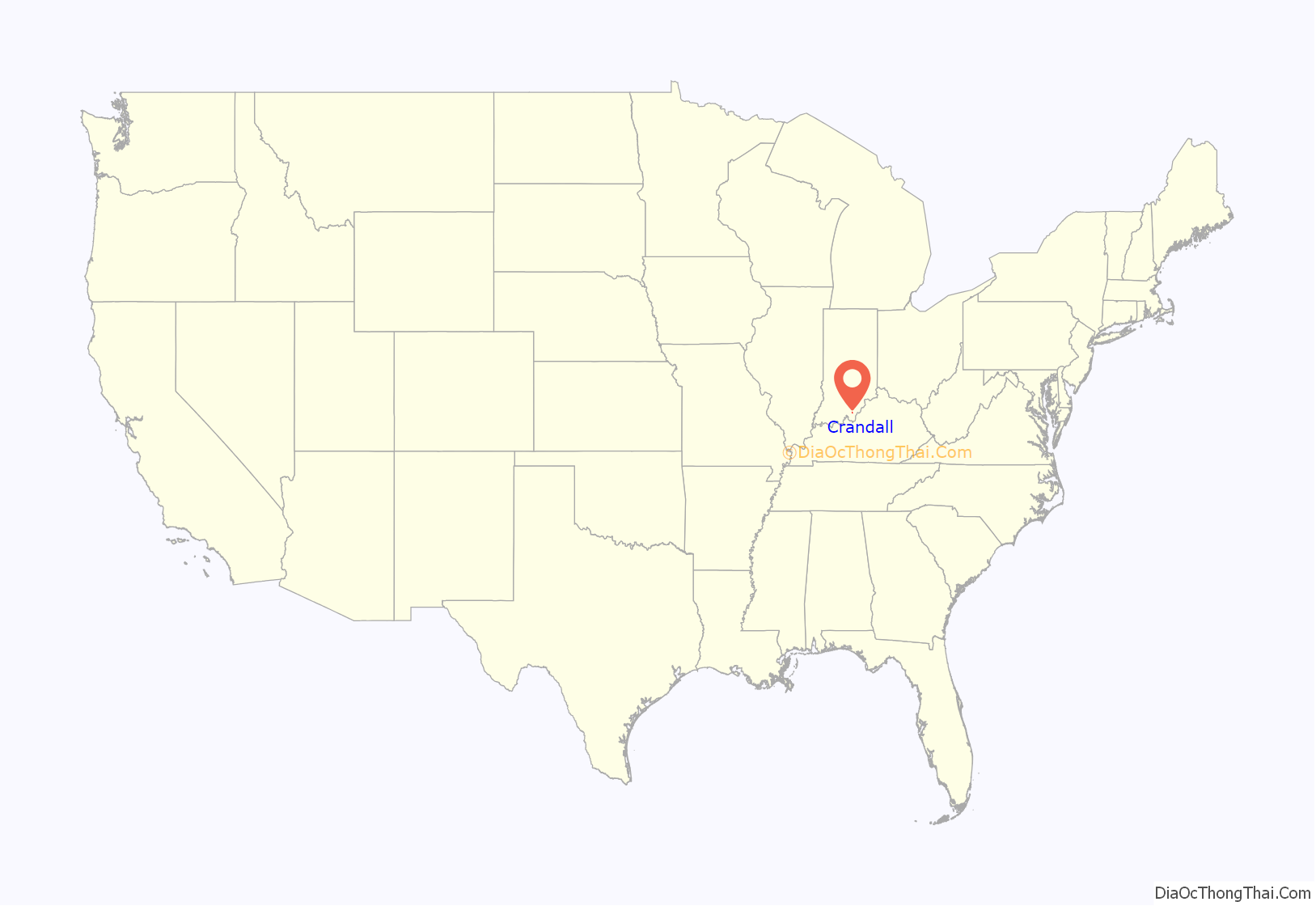
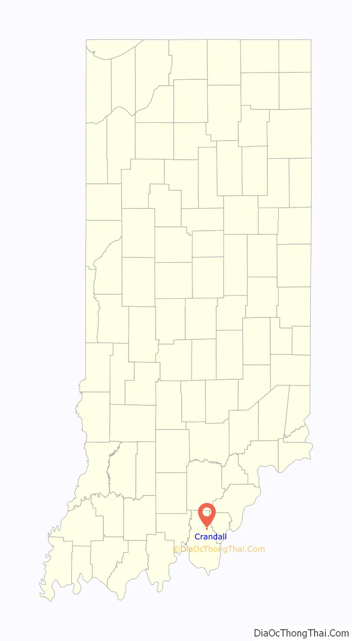
Crandall location map. Where is Crandall town?
History
Etymology
The name Crandall is derived from its founder Cornelius F. Crandall. It is often pronounced with the d belonging to the first syllable (e.g. Crand•all). The first syllable has a soft ‘a’. The second syllable is stressed with a soft ‘a’ and a long ‘l’.
Founding
Crandall was laid out in 1872 by its namesake, Cornelius F. Crandall. Cornelius persuaded the builders of the Southern Railway (US) to move the planned route for their line through the area from its original surveyed path north of the present day State Highway 64 to its present path through the town of Crandall. Cornelius later moved to Texas where he founded Crandall, Texas
The Great Fire
In 1921 there was a great fire that destroyed a store and warehouse, the post office, and several houses on the east side of town; eleven buildings were destroyed in all. The town sprang back from the destruction, and by 1936 Al Gerdon of the Corydon Democrat writes of the businessmen of Crandall. He tells of an insurance salesman, the Crandall branch of the Harrison County Bank, the feed store, two general stores, the main office for the Harrison County Farm Bureau Corporation, Incorporated, and the well-known fox chasing conventions consisted of about seventy-five dogs that would chase the foxes on the outskirts of town.
Early Year
During the 1930s Crandall became known for its saw mill and hatcheries that used the train to ship the baby chicks. Clarence A. Sims, the owner of the Thornwood Poultry Yards, introduced the world’s largest incubator at that time. It was fifty-eight by ten feet and took a carload of eggs to fill its 315,000-egg capacity that enabled the hatchery to set 105,000 eggs every week. Sixteen breeds of chickens were hatched and delivered to “every state east of the Rocky Mountains.” In June 1953 the passenger service ended thus leaving a freight line as the only rail service between Louisville and St. Louis.
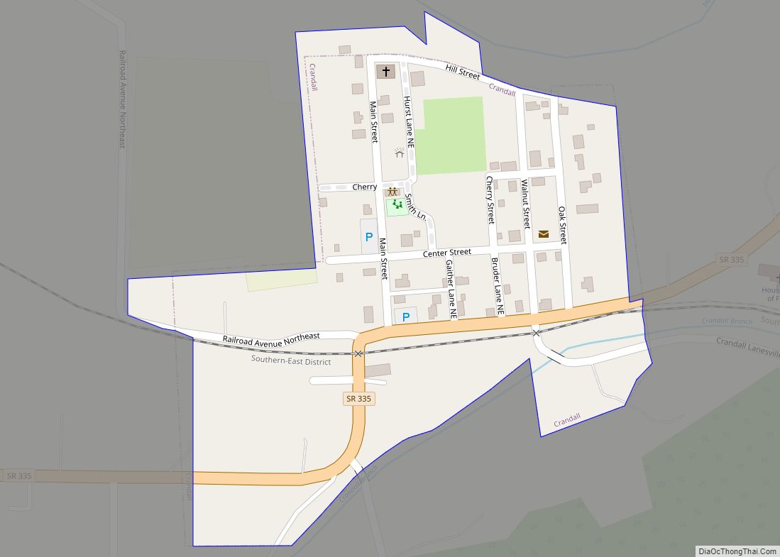
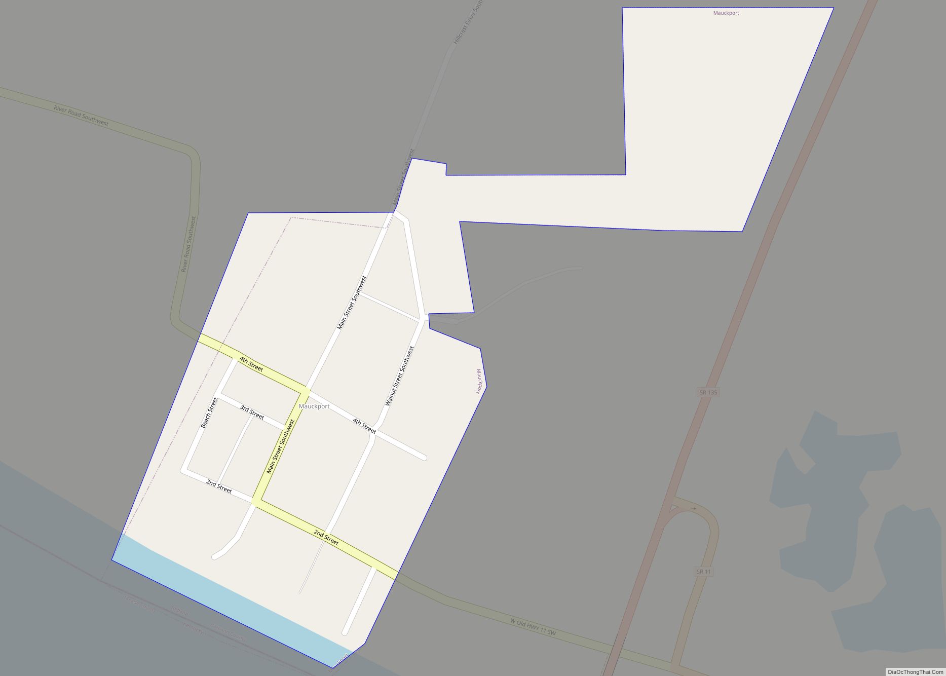
Crandall Road Map
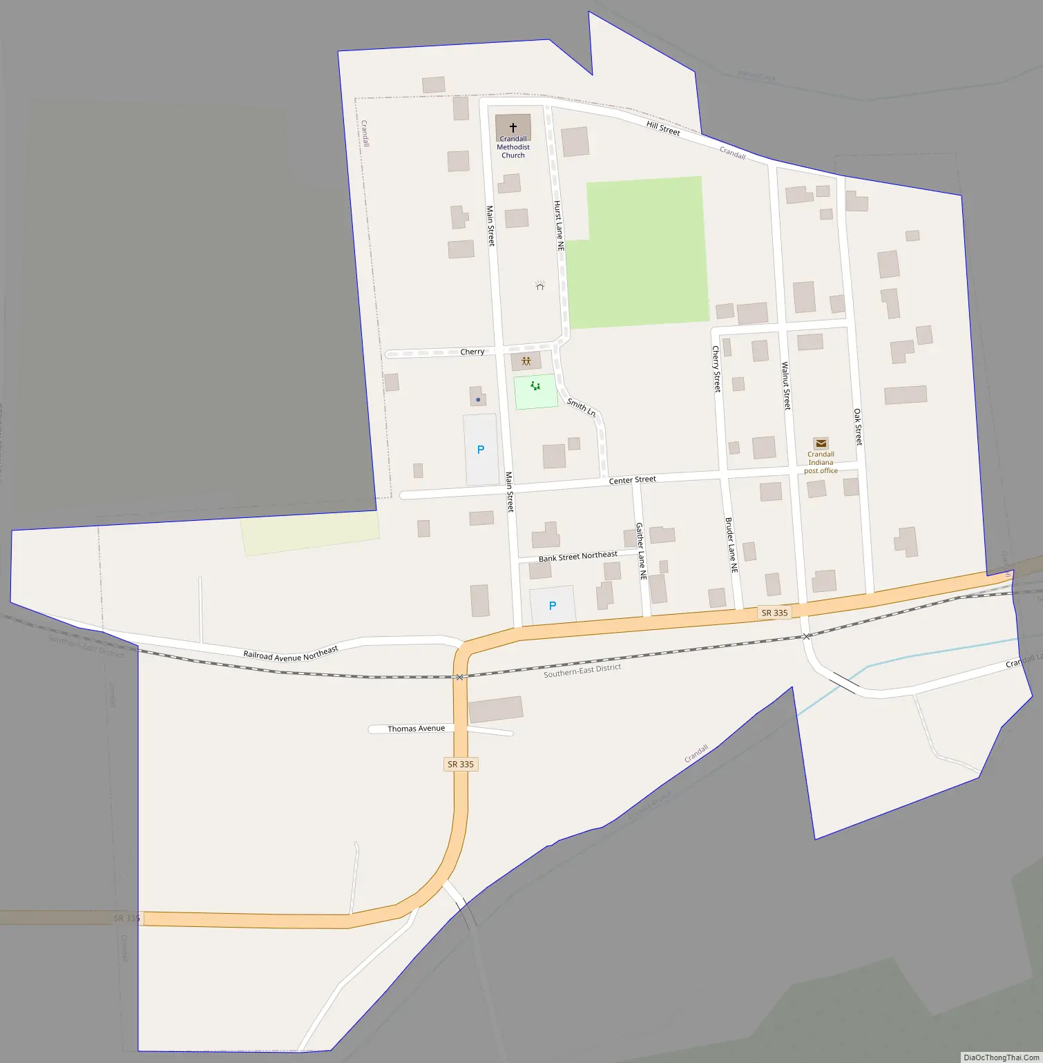
Crandall city Satellite Map

Geography
Crandall is located at 38°17′16″N 86°03′57″W / 38.287907°N 86.065800°W / 38.287907; -86.065800.
According to the 2010 census, Crandall has a total area of 0.1 square miles (0.26 km), all land.
See also
Map of Indiana State and its subdivision:- Adams
- Allen
- Bartholomew
- Benton
- Blackford
- Boone
- Brown
- Carroll
- Cass
- Clark
- Clay
- Clinton
- Crawford
- Daviess
- De Kalb
- Dearborn
- Decatur
- Delaware
- Dubois
- Elkhart
- Fayette
- Floyd
- Fountain
- Franklin
- Fulton
- Gibson
- Grant
- Greene
- Hamilton
- Hancock
- Harrison
- Hendricks
- Henry
- Howard
- Huntington
- Jackson
- Jasper
- Jay
- Jefferson
- Jennings
- Johnson
- Knox
- Kosciusko
- LaGrange
- Lake
- Lake Michigan
- LaPorte
- Lawrence
- Madison
- Marion
- Marshall
- Martin
- Miami
- Monroe
- Montgomery
- Morgan
- Newton
- Noble
- Ohio
- Orange
- Owen
- Parke
- Perry
- Pike
- Porter
- Posey
- Pulaski
- Putnam
- Randolph
- Ripley
- Rush
- Saint Joseph
- Scott
- Shelby
- Spencer
- Starke
- Steuben
- Sullivan
- Switzerland
- Tippecanoe
- Tipton
- Union
- Vanderburgh
- Vermillion
- Vigo
- Wabash
- Warren
- Warrick
- Washington
- Wayne
- Wells
- White
- Whitley
- Alabama
- Alaska
- Arizona
- Arkansas
- California
- Colorado
- Connecticut
- Delaware
- District of Columbia
- Florida
- Georgia
- Hawaii
- Idaho
- Illinois
- Indiana
- Iowa
- Kansas
- Kentucky
- Louisiana
- Maine
- Maryland
- Massachusetts
- Michigan
- Minnesota
- Mississippi
- Missouri
- Montana
- Nebraska
- Nevada
- New Hampshire
- New Jersey
- New Mexico
- New York
- North Carolina
- North Dakota
- Ohio
- Oklahoma
- Oregon
- Pennsylvania
- Rhode Island
- South Carolina
- South Dakota
- Tennessee
- Texas
- Utah
- Vermont
- Virginia
- Washington
- West Virginia
- Wisconsin
- Wyoming