Country Squire Lakes is an unincorporated community and census-designated place (CDP) in Geneva Township, Jennings County, Indiana, United States. As of the 2010 census it had a population of 3,571.
It was founded in 1973 by a property developer as a planned community built around several artificial lakes.
| Name: | Country Squire Lakes CDP |
|---|---|
| LSAD Code: | 57 |
| LSAD Description: | CDP (suffix) |
| State: | Indiana |
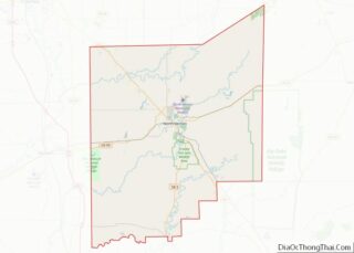
| County: | Jennings County |
| Elevation: | 710 ft (220 m) |
| Total Area: | 2.70 sq mi (6.99 km²) |
| Land Area: | 2.56 sq mi (6.63 km²) |
| Water Area: | 0.14 sq mi (0.36 km²) |
| Total Population: | 3,558 |
| Population Density: | 1,390.93/sq mi (537.02/km²) |
| ZIP code: | 47265 (North Vernon, IN) |
| FIPS code: | 1815409 |
| GNISfeature ID: | 2629850 |
Online Interactive Map
Click on ![]() to view map in "full screen" mode.
to view map in "full screen" mode.
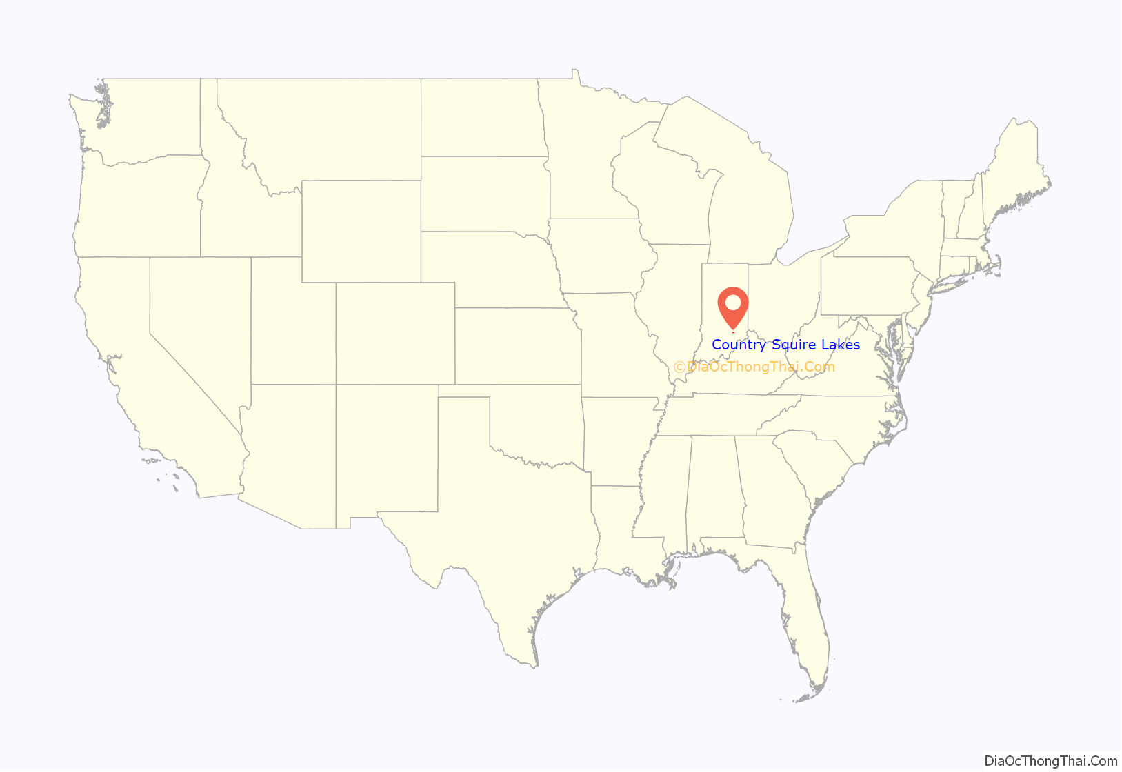
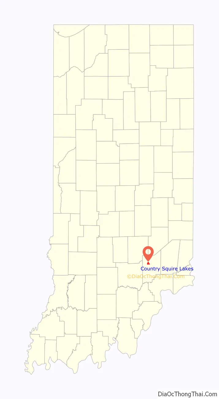
Country Squire Lakes location map. Where is Country Squire Lakes CDP?
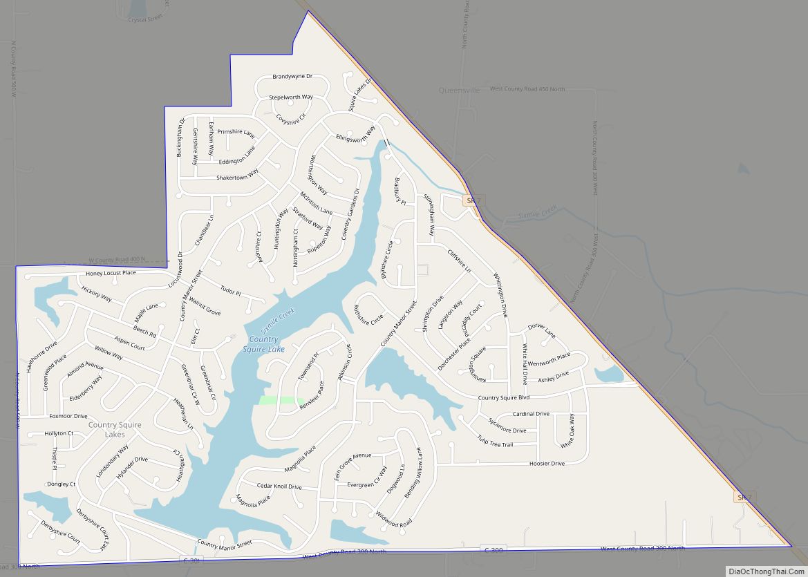
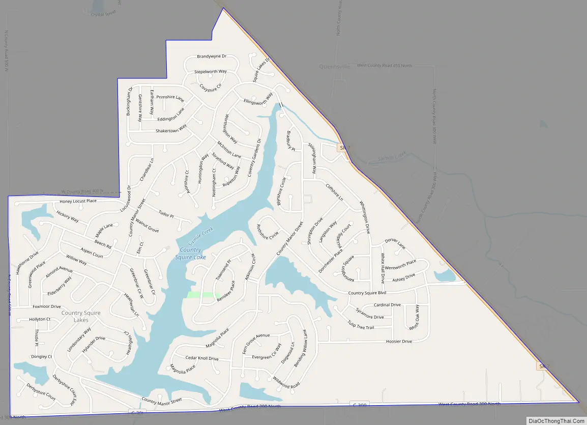
Country Squire Lakes Road Map
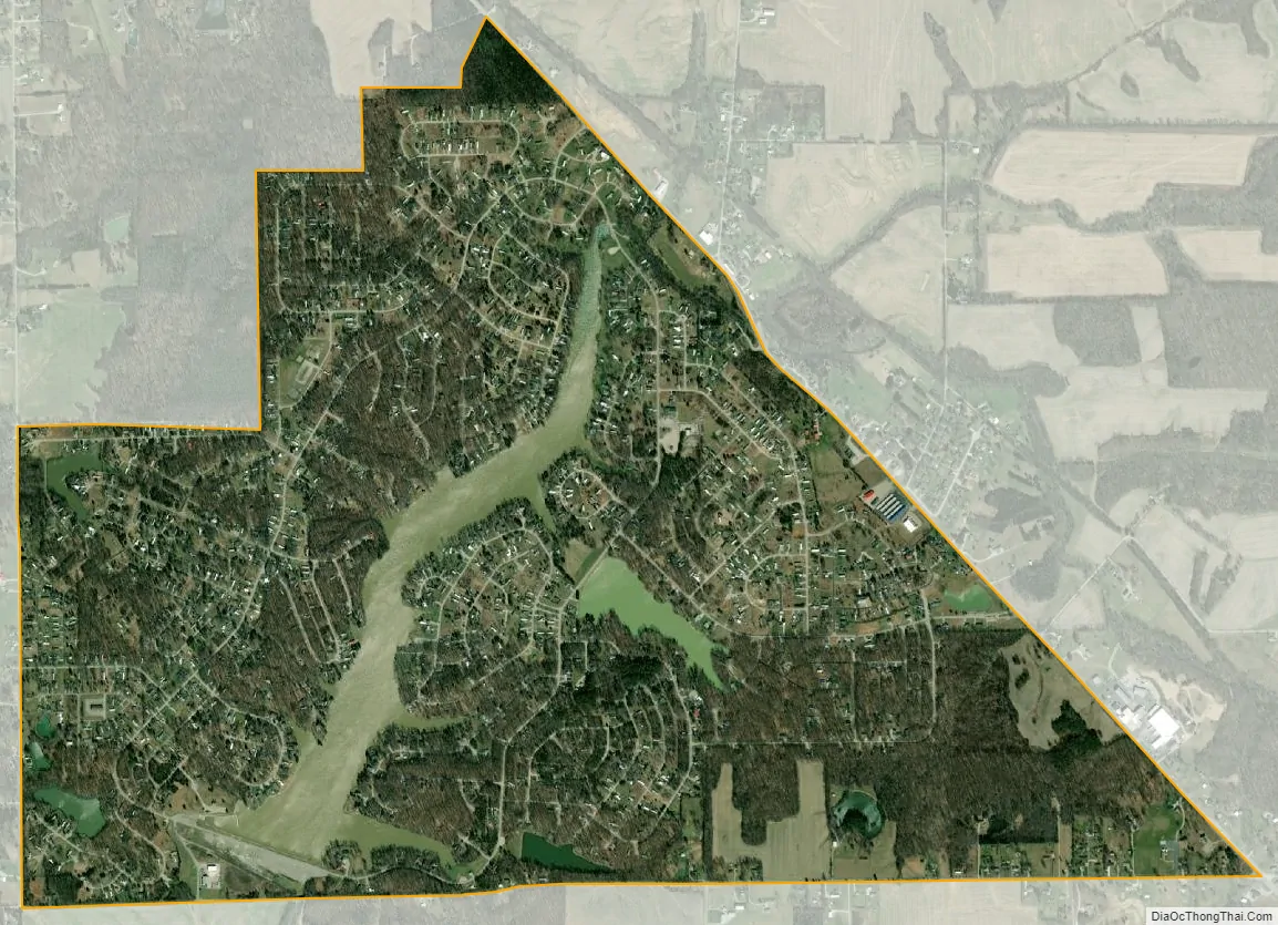
Country Squire Lakes city Satellite Map
Geography
The community is in northwestern Jennings County, it is in the southeast corner of Geneva Township. It is built around Country Squire Lake, a reservoir on Six mile Creek, as well as several smaller lakes. The lakes in the western part of the community drain to Mutton Creek. Six mile and Mutton Creeks are southwest-flowing tributaries of the Vernon Fork of the Muscatatuck River and part of the White River watershed.
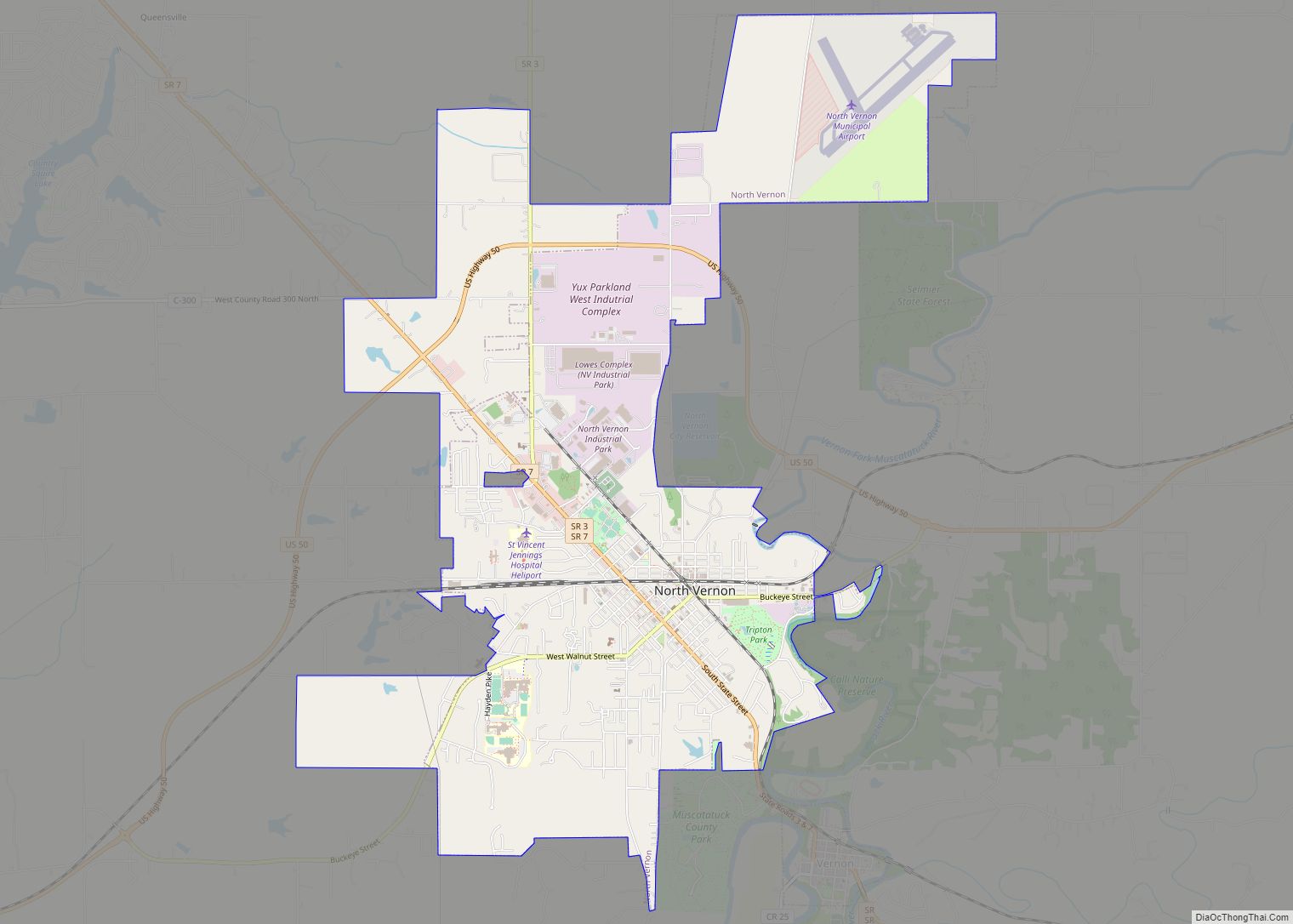
Indiana State Road 7 runs along the northeast edge of the community, leading southeast 3 miles (5 km) to North Vernon and northwest 18 miles (29 km) to Columbus. The older community of Queensville borders Country Squire Lakes to the northeast across Highway 7.
According to the U.S. Census Bureau, the Country Squire Lakes CDP has a total area of 2.7 square miles (7.0 km), of which 2.5 square miles (6.6 km) are land and 0.2 square miles (0.4 km), or 5.16%, are water.
See also
Map of Indiana State and its subdivision:- Adams
- Allen
- Bartholomew
- Benton
- Blackford
- Boone
- Brown
- Carroll
- Cass
- Clark
- Clay
- Clinton
- Crawford
- Daviess
- De Kalb
- Dearborn
- Decatur
- Delaware
- Dubois
- Elkhart
- Fayette
- Floyd
- Fountain
- Franklin
- Fulton
- Gibson
- Grant
- Greene
- Hamilton
- Hancock
- Harrison
- Hendricks
- Henry
- Howard
- Huntington
- Jackson
- Jasper
- Jay
- Jefferson
- Jennings
- Johnson
- Knox
- Kosciusko
- LaGrange
- Lake
- Lake Michigan
- LaPorte
- Lawrence
- Madison
- Marion
- Marshall
- Martin
- Miami
- Monroe
- Montgomery
- Morgan
- Newton
- Noble
- Ohio
- Orange
- Owen
- Parke
- Perry
- Pike
- Porter
- Posey
- Pulaski
- Putnam
- Randolph
- Ripley
- Rush
- Saint Joseph
- Scott
- Shelby
- Spencer
- Starke
- Steuben
- Sullivan
- Switzerland
- Tippecanoe
- Tipton
- Union
- Vanderburgh
- Vermillion
- Vigo
- Wabash
- Warren
- Warrick
- Washington
- Wayne
- Wells
- White
- Whitley
- Alabama
- Alaska
- Arizona
- Arkansas
- California
- Colorado
- Connecticut
- Delaware
- District of Columbia
- Florida
- Georgia
- Hawaii
- Idaho
- Illinois
- Indiana
- Iowa
- Kansas
- Kentucky
- Louisiana
- Maine
- Maryland
- Massachusetts
- Michigan
- Minnesota
- Mississippi
- Missouri
- Montana
- Nebraska
- Nevada
- New Hampshire
- New Jersey
- New Mexico
- New York
- North Carolina
- North Dakota
- Ohio
- Oklahoma
- Oregon
- Pennsylvania
- Rhode Island
- South Carolina
- South Dakota
- Tennessee
- Texas
- Utah
- Vermont
- Virginia
- Washington
- West Virginia
- Wisconsin
- Wyoming