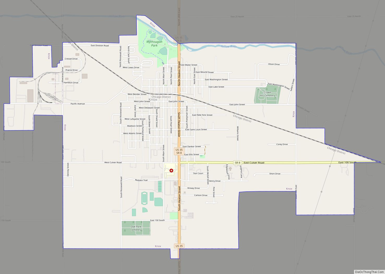
Knox is a city in Center Township, Starke County, in the U.S. state of Indiana. The population was 3,704 at the 2010 census. The city is the county seat of Starke County. Knox city overview: Name: Knox city LSAD Code: 25 LSAD Description: city (suffix) State: Indiana County: Starke County Elevation: 712 ft (217 m) Total Area: ... Read more
Indiana Cities and Places
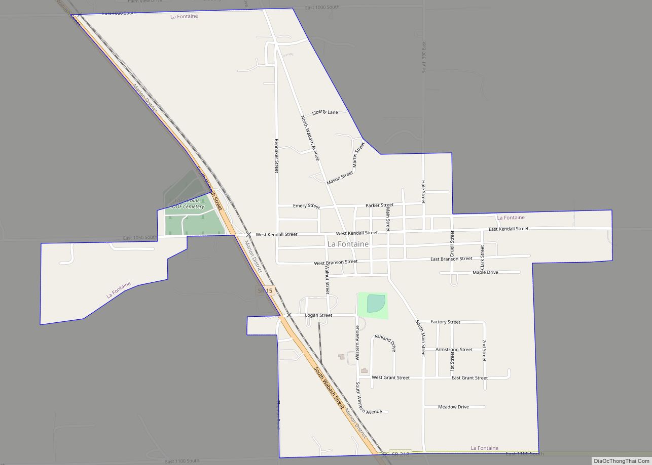
La Fontaine is a town in Liberty Township, Wabash County, in the U.S. state of Indiana. The population was 875 at the 2010 census. Its name means “The Fountain” in French. La Fontaine town overview: Name: La Fontaine town LSAD Code: 43 LSAD Description: town (suffix) State: Indiana County: Wabash County Elevation: 801 ft (244 m) Total ... Read more
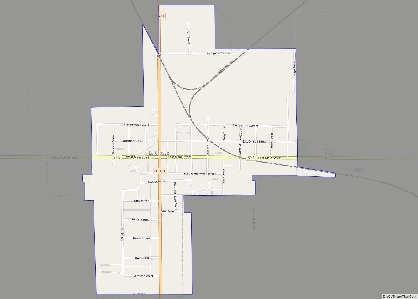
La Crosse is a town in LaPorte County, Indiana, United States. The population was 551 at the 2010 census. It is included in the Michigan City, Indiana–La Porte, Indiana Metropolitan Statistical Area. La Crosse town overview: Name: La Crosse town LSAD Code: 43 LSAD Description: town (suffix) State: Indiana County: LaPorte County Elevation: 676 ft (206 m) ... Read more
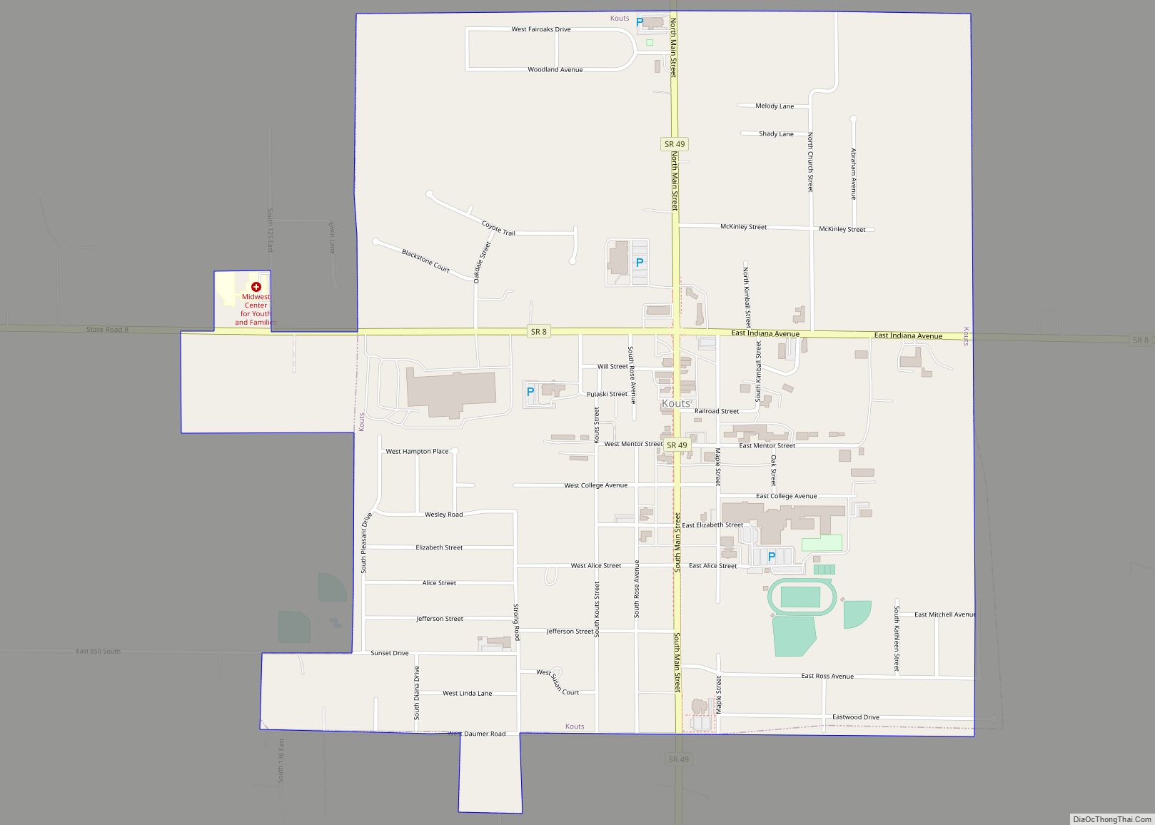
Kouts is a town in Pleasant Township, Porter County, in the U.S. state of Indiana. The population was 2,028 at the 2020 census. Since 2010, Kouts has had a population growth of 7.90 percent. Kouts town overview: Name: Kouts town LSAD Code: 43 LSAD Description: town (suffix) State: Indiana County: Porter County Elevation: 682 ft (208 m) ... Read more
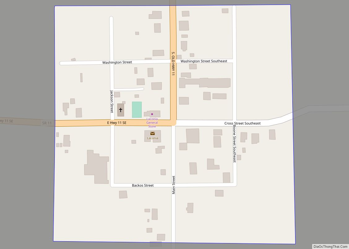
Laconia is a town in Boone Township, Harrison County, Indiana, United States. The population was 50 at the 2010 census. Laconia town overview: Name: Laconia town LSAD Code: 43 LSAD Description: town (suffix) State: Indiana County: Harrison County Elevation: 663 ft (202 m) Total Area: 0.05 sq mi (0.13 km²) Land Area: 0.05 sq mi (0.13 km²) Water Area: 0.00 sq mi (0.00 km²) Total Population: ... Read more
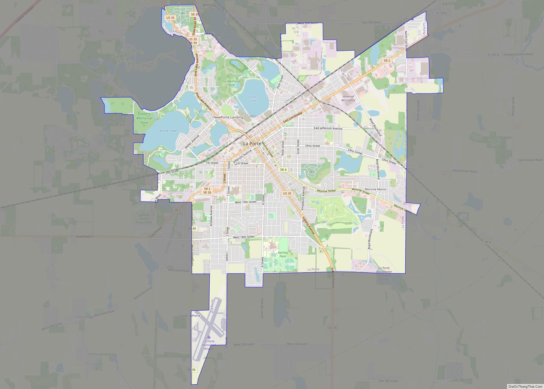
La Porte (from French ‘the door’) is a city in LaPorte County, Indiana, United States, of which it is the county seat. Its population was estimated to be 21,341 in 2022. It is one of the two principal cities of the Michigan City-La Porte, Indiana Metropolitan Statistical Area, which is included in the Chicago–Naperville–Michigan City, Illinois–Indiana–Wisconsin ... Read more
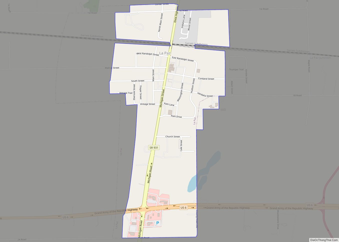
LaPaz is a town in North Township, Marshall County, Indiana, United States. The population was 475 at the 2020 census, down from 561 in 2010. La Paz town overview: Name: La Paz town LSAD Code: 43 LSAD Description: town (suffix) State: Indiana County: Marshall County Elevation: 863 ft (263 m) Total Area: 0.39 sq mi (1.00 km²) Land Area: 0.39 sq mi ... Read more
LaGrange is a town in and the county seat of LaGrange County, Indiana, United States. The population was 2,625 at the 2010 census. Lagrange town overview: Name: Lagrange town LSAD Code: 43 LSAD Description: town (suffix) State: Indiana County: LaGrange County Elevation: 932 ft (284 m) Total Area: 1.79 sq mi (4.62 km²) Land Area: 1.79 sq mi (4.62 km²) Water Area: 0.00 sq mi ... Read more
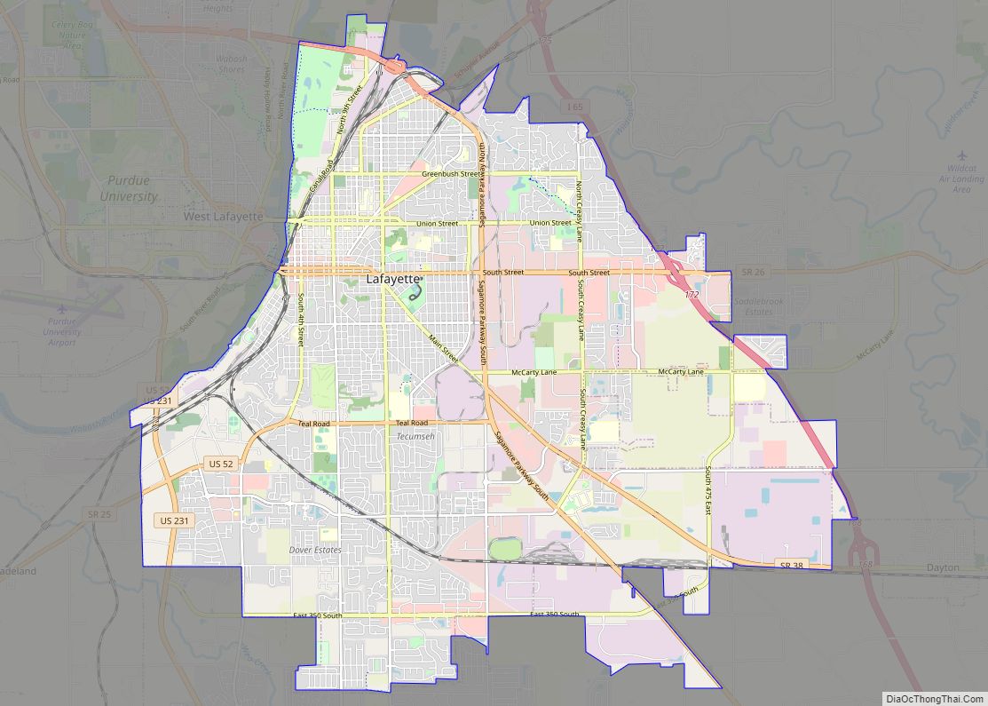
Lafayette (/ˌlɑːfiːˈɛt, ˌlæf-/ LAH-fee-ET, LAF-ee-ET) is a city in and the county seat of Tippecanoe County, Indiana, United States, located 63 miles (101 km) northwest of Indianapolis and 125 miles (201 km) southeast of Chicago. West Lafayette, on the other side of the Wabash River, is home to Purdue University, which contributes significantly to both communities. Together, ... Read more
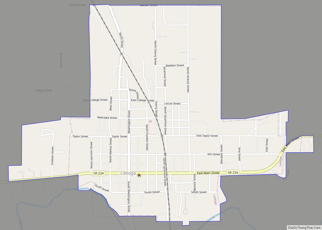
Ladoga is a town in Clark Township, Montgomery County, in the U.S. state of Indiana. The population was 1,081 at the 2020 census, up from 985 in 2010. Ladoga town overview: Name: Ladoga town LSAD Code: 43 LSAD Description: town (suffix) State: Indiana County: Montgomery County Elevation: 823 ft (251 m) Total Area: 0.54 sq mi (1.39 km²) Land Area: ... Read more
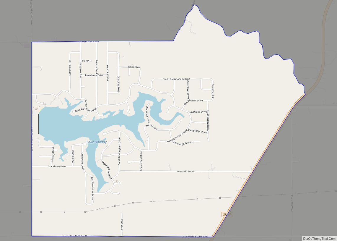
Lake Holiday is an unincorporated community and census-designated place (CDP) in Union Township, Montgomery County, in the U.S. state of Indiana. It is a private community on the banks of its eponymous body of water. As of the 2020 census, the community had a population of 921 residents. The community contains the subdivisions of Holiday ... Read more
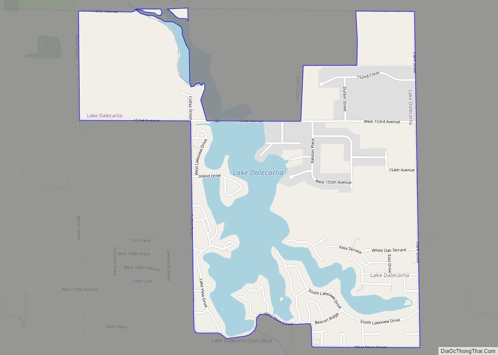
Lake Dalecarlia is a census-designated place (CDP) in Lake County, Indiana, United States. The population was 1,355 at the 2010 census. The name comes from the English name of the Dalarna region of Sweden. The community is centered on the lake of the same name, which was completed in the 1920s. Lake Dalecarlia CDP overview: ... Read more
