Laconia is a town in Boone Township, Harrison County, Indiana, United States. The population was 50 at the 2010 census.
| Name: | Laconia town |
|---|---|
| LSAD Code: | 43 |
| LSAD Description: | town (suffix) |
| State: | Indiana |
| County: | Harrison County |
| Elevation: | 663 ft (202 m) |
| Total Area: | 0.05 sq mi (0.13 km²) |
| Land Area: | 0.05 sq mi (0.13 km²) |
| Water Area: | 0.00 sq mi (0.00 km²) |
| Total Population: | 73 |
| Population Density: | 1,431.37/sq mi (557.84/km²) |
| ZIP code: | 47135 |
| Area code: | 812 |
| FIPS code: | 1840644 |
| GNISfeature ID: | 2396701 |
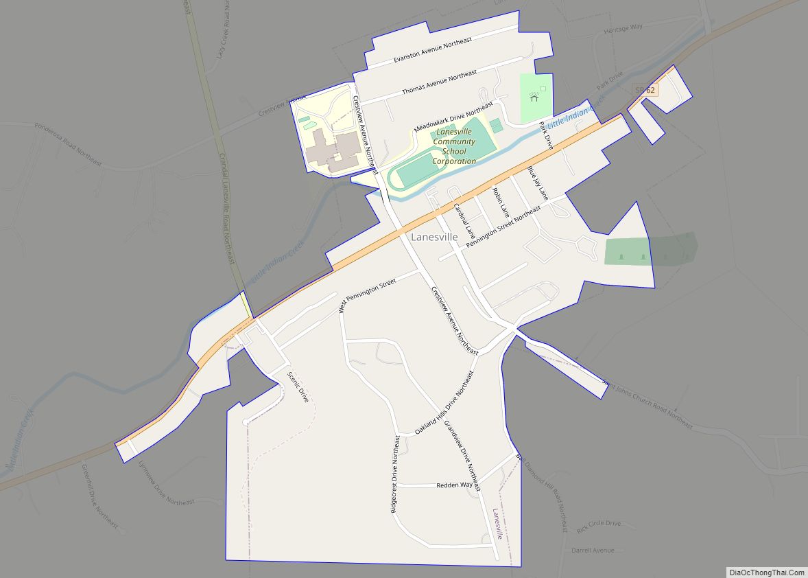
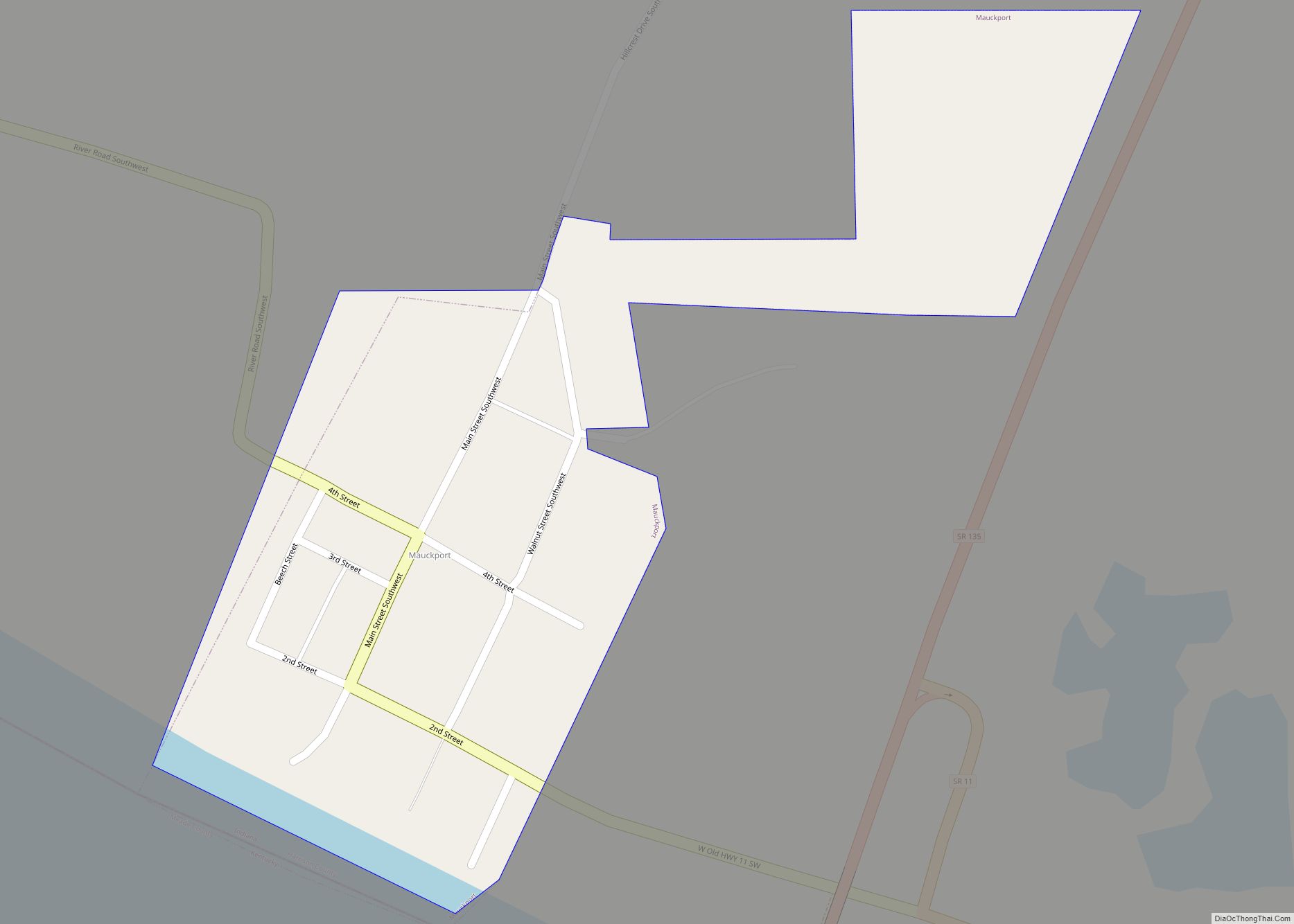
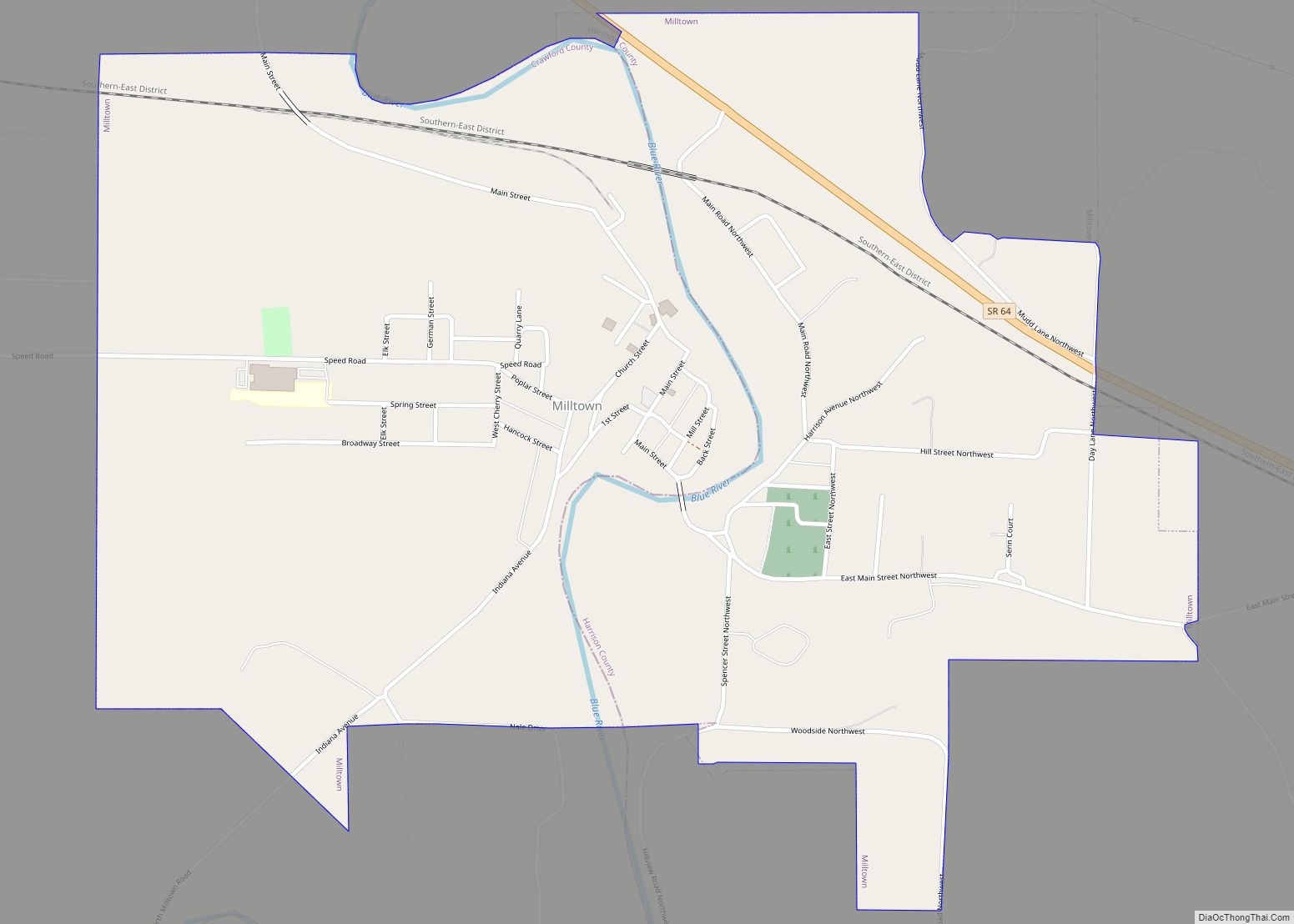
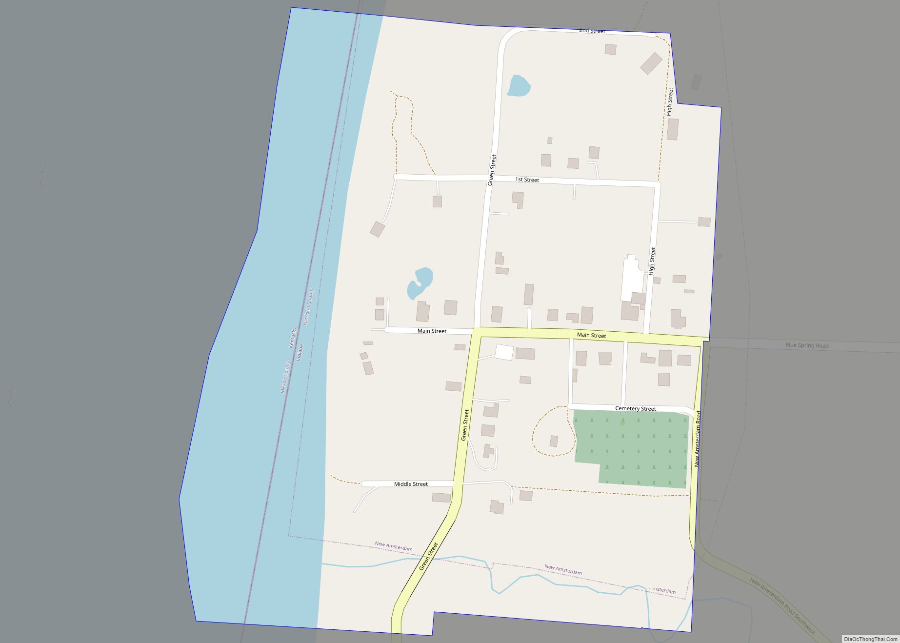
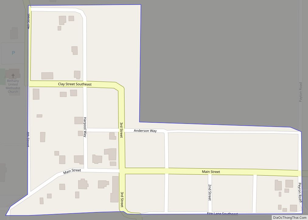
Online Interactive Map
Click on ![]() to view map in "full screen" mode.
to view map in "full screen" mode.
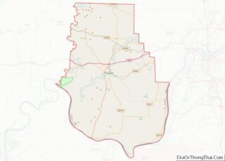
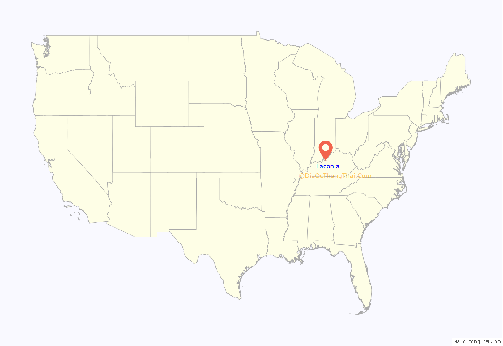
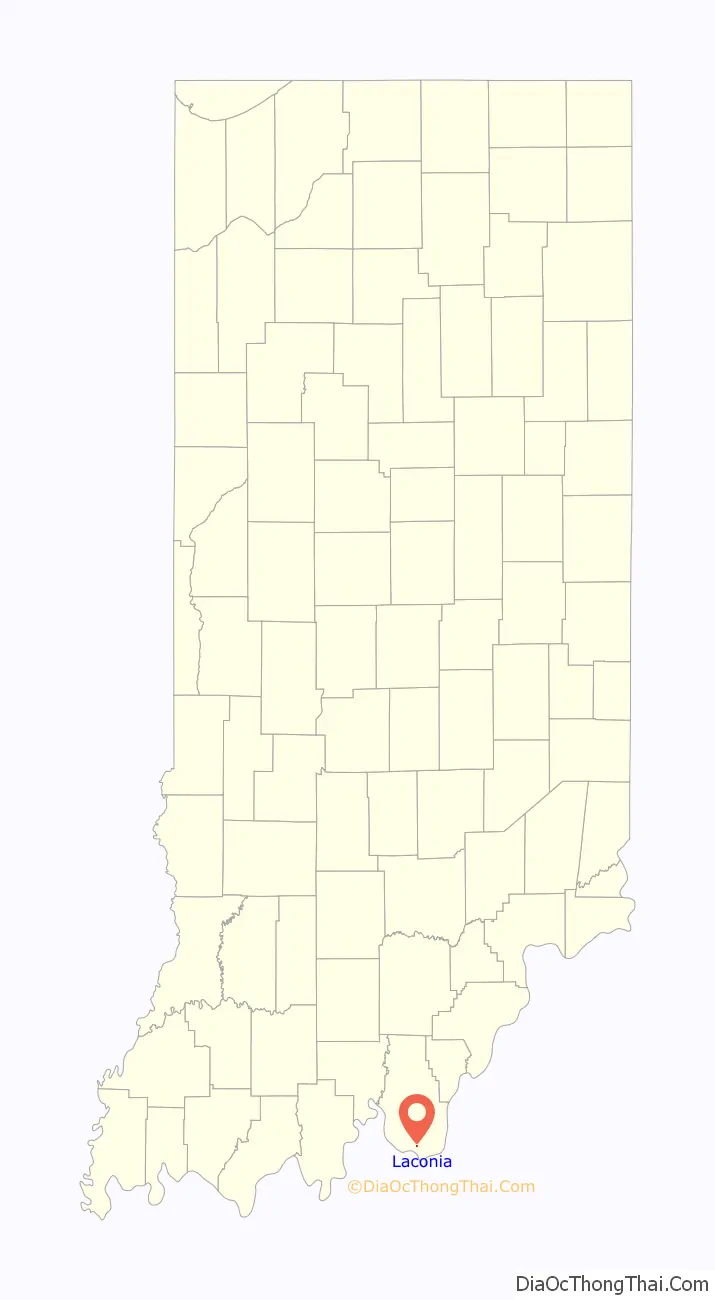
Laconia location map. Where is Laconia town?
History
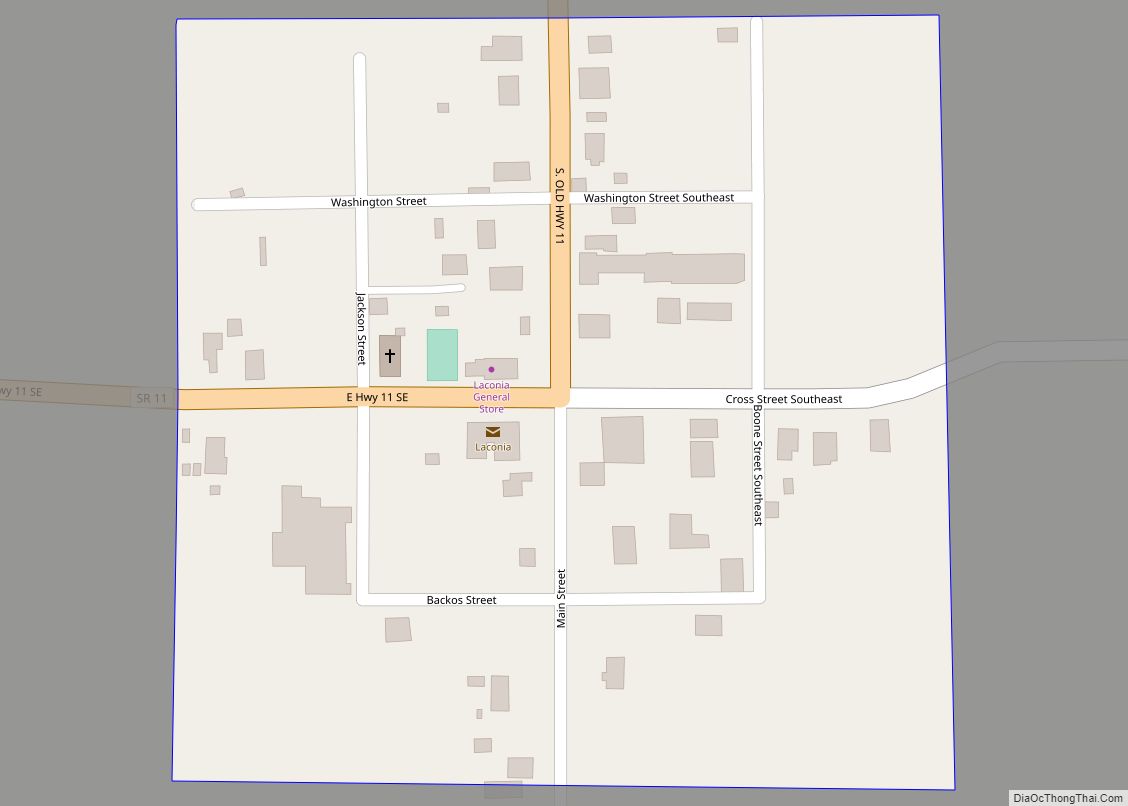
Laconia is a small farming community and was platted in 1816 by John Boone. The Boone family, prominent in the settlement of southern Harrison County, owned large tracts of land throughout the township which bears their name. The original town, consisting of 64 lots, was laid out on property of four owners: William Smith, William Winigar, William Williams, and William Madden, Sr.
Because Laconia was the only town of any size in Boone Township, the settlement became the commercial center of the area. Laconia was the distribution center for mail and was served by the L&N Railroad, which ran on the Kentucky side of the Ohio River.
Because of the proximity of an ample supply of lumber, the Elbert Brothers established a furniture factory near Laconia in 1868. The business burned in 1880 and was never rebuilt. Just south of town, John Ashton had a lumber mill which provided materials for many of Laconia’s structures.
Laconia at one time boasted three general stores, one on each corner of the town square, three hotels, several millinery stores, two doctors, a funeral parlor, and a saloon. The Laconia General Store, built in 1927, is the only remaining commercial building operating on the square.
Laconia is the home of an Odd Fellows Club first organized on May 20, 1875.
Two churches were established in Laconia. The Laconia Presbyterian Church was organized in 1874 and met in the town hall and private homes until 1880, when the present church was built on Cross St. The Laconia Methodist Church was organized in 1842, and closed in 2017. The minister traveled from Mauckport, about seven miles to the southwest, to conduct services. The present church was built in 1874 on Main St.
In March 1932, fire destroyed the frame two-story school known as Clay Hill College, and a new school was built of brick in 1932-1933 by the Works Progress Administration (WPA). Upon consolidation of the Harrison County Schools, the building was vacated in 1985. The late Bill Cook restored the structure and it now serves as a community center and apartments.
Another notable building in Laconia is on Main St, the Hurst House built in the Greek Revival style by Dr. Hurst in 1869.
Laconia Road Map
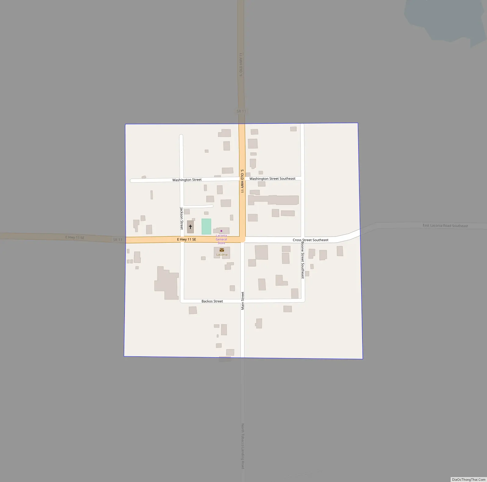
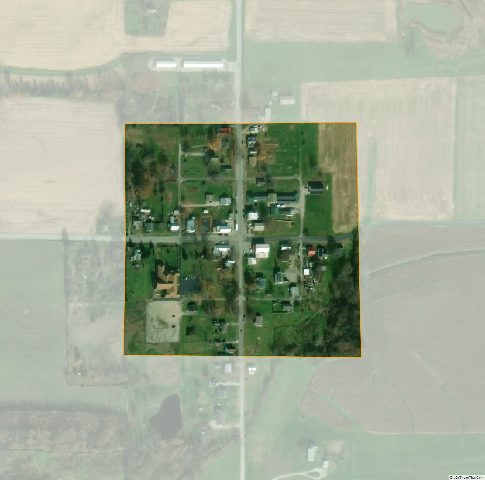
Laconia city Satellite Map
Geography
Laconia is located at 38°1′56″N 86°5′7″W / 38.03222°N 86.08528°W / 38.03222; -86.08528 (38.032174, -86.085271).
According to the 2010 census, Laconia has a total area of 0.05 square miles (0.13 km), all land.
See also
Map of Indiana State and its subdivision:- Adams
- Allen
- Bartholomew
- Benton
- Blackford
- Boone
- Brown
- Carroll
- Cass
- Clark
- Clay
- Clinton
- Crawford
- Daviess
- De Kalb
- Dearborn
- Decatur
- Delaware
- Dubois
- Elkhart
- Fayette
- Floyd
- Fountain
- Franklin
- Fulton
- Gibson
- Grant
- Greene
- Hamilton
- Hancock
- Harrison
- Hendricks
- Henry
- Howard
- Huntington
- Jackson
- Jasper
- Jay
- Jefferson
- Jennings
- Johnson
- Knox
- Kosciusko
- LaGrange
- Lake
- Lake Michigan
- LaPorte
- Lawrence
- Madison
- Marion
- Marshall
- Martin
- Miami
- Monroe
- Montgomery
- Morgan
- Newton
- Noble
- Ohio
- Orange
- Owen
- Parke
- Perry
- Pike
- Porter
- Posey
- Pulaski
- Putnam
- Randolph
- Ripley
- Rush
- Saint Joseph
- Scott
- Shelby
- Spencer
- Starke
- Steuben
- Sullivan
- Switzerland
- Tippecanoe
- Tipton
- Union
- Vanderburgh
- Vermillion
- Vigo
- Wabash
- Warren
- Warrick
- Washington
- Wayne
- Wells
- White
- Whitley
- Alabama
- Alaska
- Arizona
- Arkansas
- California
- Colorado
- Connecticut
- Delaware
- District of Columbia
- Florida
- Georgia
- Hawaii
- Idaho
- Illinois
- Indiana
- Iowa
- Kansas
- Kentucky
- Louisiana
- Maine
- Maryland
- Massachusetts
- Michigan
- Minnesota
- Mississippi
- Missouri
- Montana
- Nebraska
- Nevada
- New Hampshire
- New Jersey
- New Mexico
- New York
- North Carolina
- North Dakota
- Ohio
- Oklahoma
- Oregon
- Pennsylvania
- Rhode Island
- South Carolina
- South Dakota
- Tennessee
- Texas
- Utah
- Vermont
- Virginia
- Washington
- West Virginia
- Wisconsin
- Wyoming