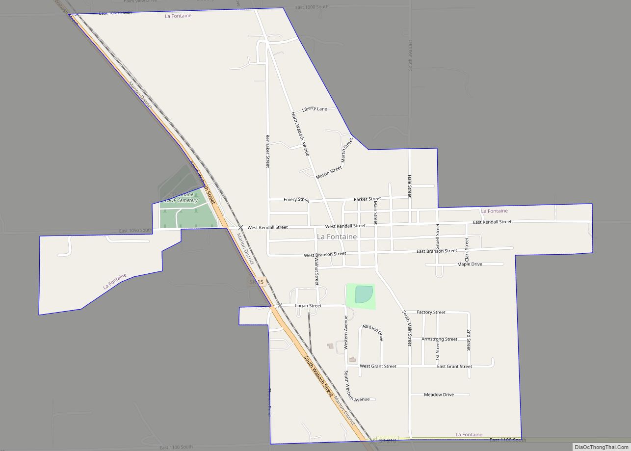
La Fontaine is a town in Liberty Township, Wabash County, in the U.S. state of Indiana. The population was 875 at the 2010 census. Its name means “The Fountain” in French.
| Name: | La Fontaine town |
|---|---|
| LSAD Code: | 43 |
| LSAD Description: | town (suffix) |
| State: | Indiana |
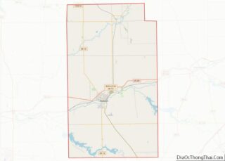
| County: | Wabash County |
| Elevation: | 801 ft (244 m) |
| Total Area: | 0.61 sq mi (1.58 km²) |
| Land Area: | 0.61 sq mi (1.58 km²) |
| Water Area: | 0.00 sq mi (0.00 km²) |
| Total Population: | 798 |
| Population Density: | 1,306.06/sq mi (504.15/km²) |
| ZIP code: | 46940 |
| Area code: | 765 |
| FIPS code: | 1840842 |
| GNISfeature ID: | 449679 |
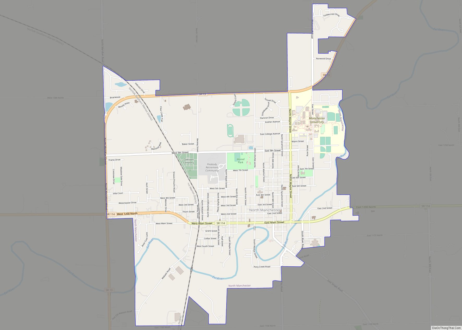
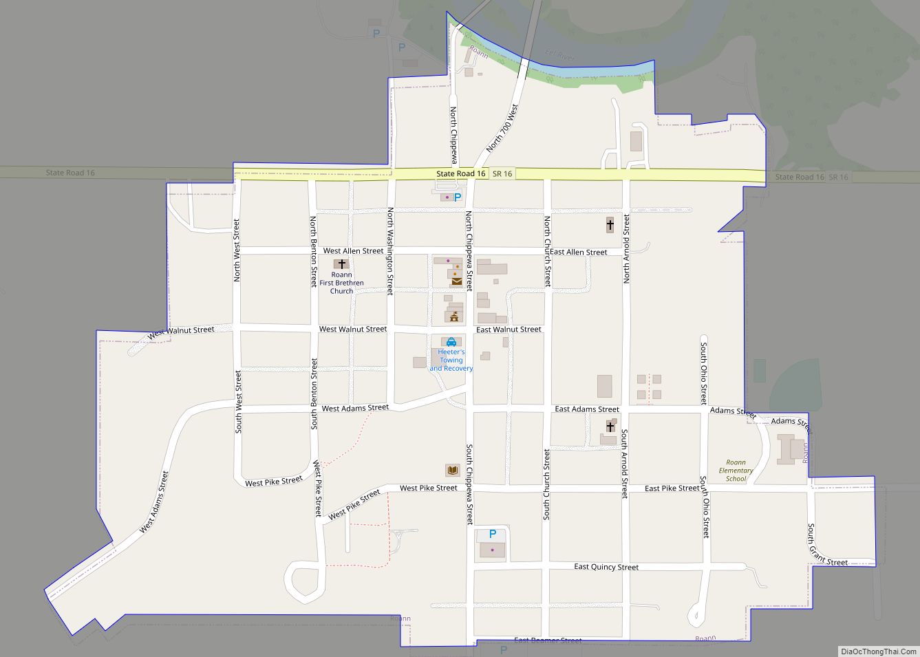
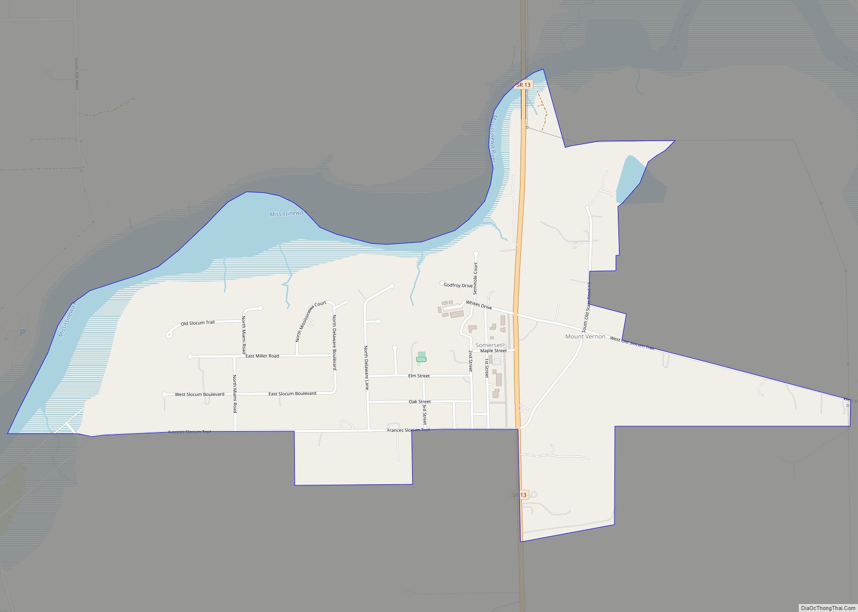
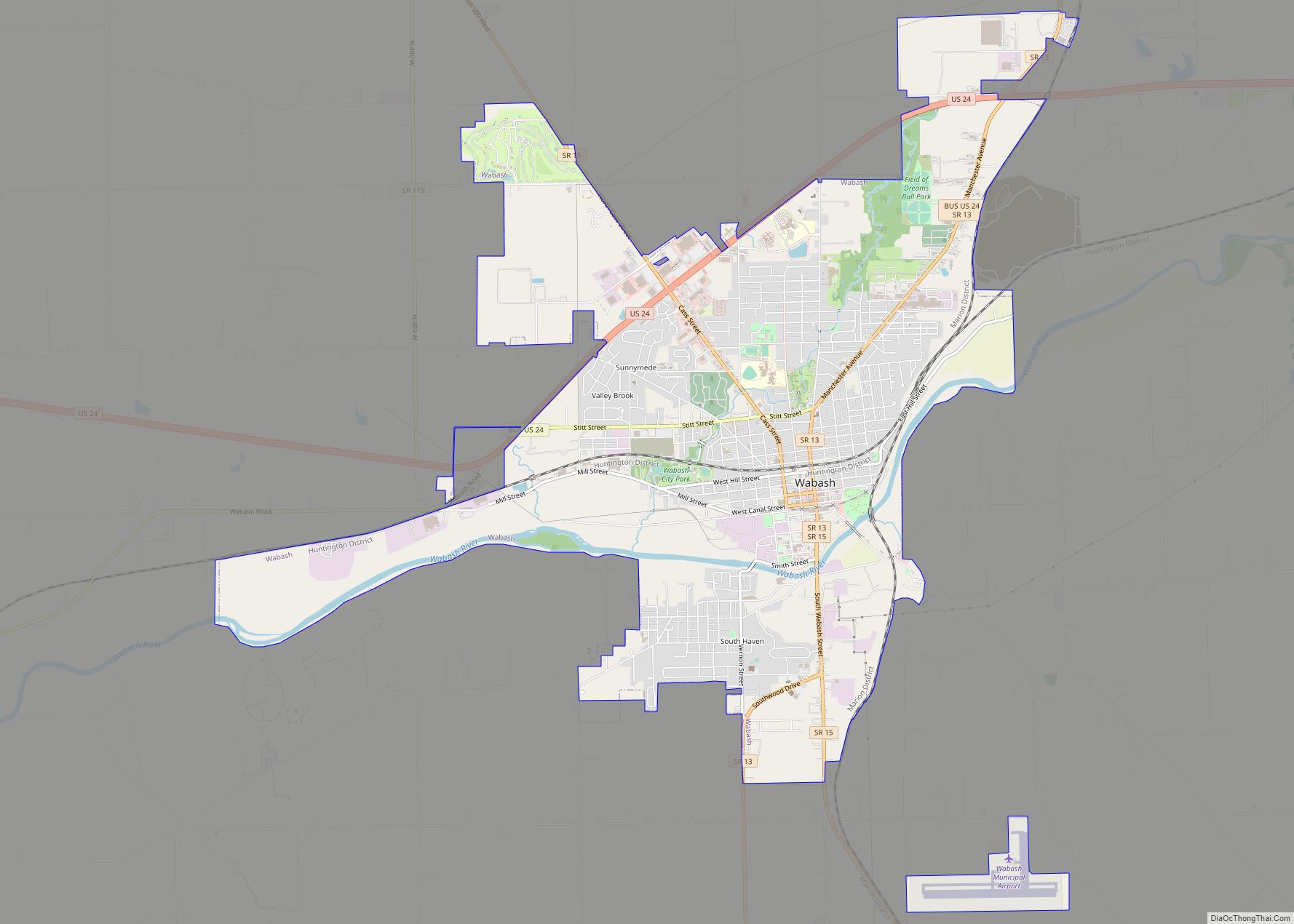
Online Interactive Map
Click on ![]() to view map in "full screen" mode.
to view map in "full screen" mode.
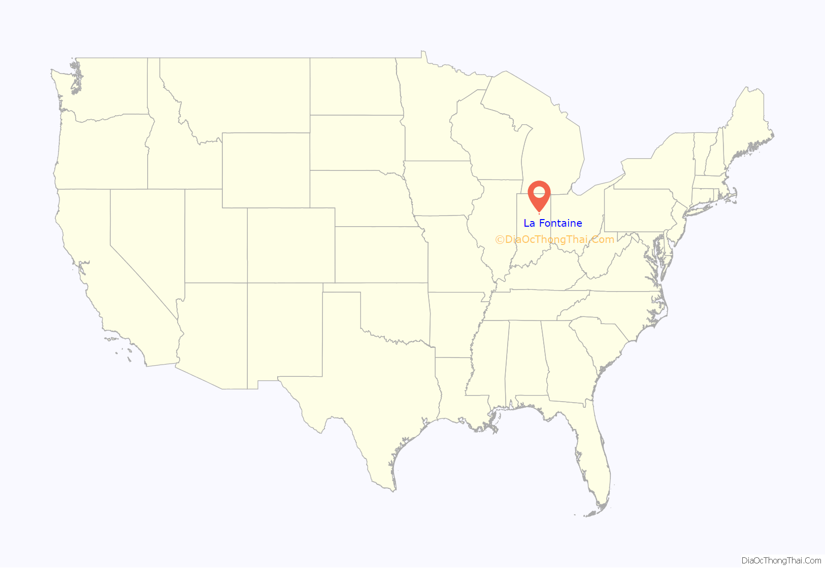
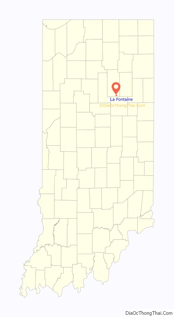
La Fontaine location map. Where is La Fontaine town?
History
The community was named after Francis La Fontaine, a Miami Indian chief. According to early maps, the town was originally known as Ashland.
The La Fontaine post office has been in operation since 1848.
The LaFontaine Historic District was listed on the National Register of Historic Places in 2014.
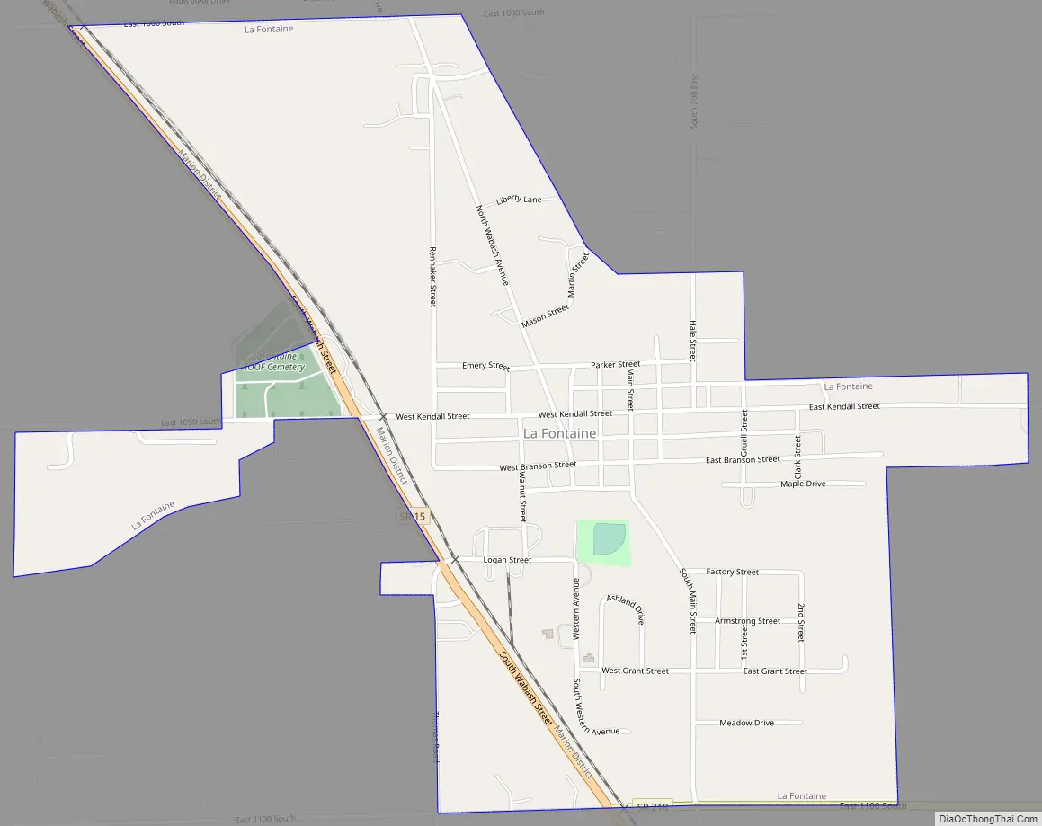
La Fontaine Road Map
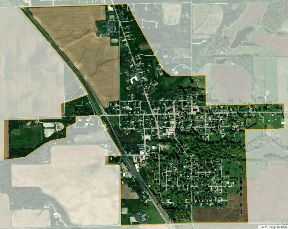
La Fontaine city Satellite Map
Geography
La Fontaine is located at 40°40′23″N 85°43′18″W / 40.67306°N 85.72167°W / 40.67306; -85.72167 (40.673048, -85.721623).
According to the 2010 census, La Fontaine has a total area of 0.61 square miles (1.58 km), of which 0.6 square miles (1.55 km) (or 98.36%) is land and 0.01 square miles (0.03 km) (or 1.64%) is water.
See also
Map of Indiana State and its subdivision:- Adams
- Allen
- Bartholomew
- Benton
- Blackford
- Boone
- Brown
- Carroll
- Cass
- Clark
- Clay
- Clinton
- Crawford
- Daviess
- De Kalb
- Dearborn
- Decatur
- Delaware
- Dubois
- Elkhart
- Fayette
- Floyd
- Fountain
- Franklin
- Fulton
- Gibson
- Grant
- Greene
- Hamilton
- Hancock
- Harrison
- Hendricks
- Henry
- Howard
- Huntington
- Jackson
- Jasper
- Jay
- Jefferson
- Jennings
- Johnson
- Knox
- Kosciusko
- LaGrange
- Lake
- Lake Michigan
- LaPorte
- Lawrence
- Madison
- Marion
- Marshall
- Martin
- Miami
- Monroe
- Montgomery
- Morgan
- Newton
- Noble
- Ohio
- Orange
- Owen
- Parke
- Perry
- Pike
- Porter
- Posey
- Pulaski
- Putnam
- Randolph
- Ripley
- Rush
- Saint Joseph
- Scott
- Shelby
- Spencer
- Starke
- Steuben
- Sullivan
- Switzerland
- Tippecanoe
- Tipton
- Union
- Vanderburgh
- Vermillion
- Vigo
- Wabash
- Warren
- Warrick
- Washington
- Wayne
- Wells
- White
- Whitley
- Alabama
- Alaska
- Arizona
- Arkansas
- California
- Colorado
- Connecticut
- Delaware
- District of Columbia
- Florida
- Georgia
- Hawaii
- Idaho
- Illinois
- Indiana
- Iowa
- Kansas
- Kentucky
- Louisiana
- Maine
- Maryland
- Massachusetts
- Michigan
- Minnesota
- Mississippi
- Missouri
- Montana
- Nebraska
- Nevada
- New Hampshire
- New Jersey
- New Mexico
- New York
- North Carolina
- North Dakota
- Ohio
- Oklahoma
- Oregon
- Pennsylvania
- Rhode Island
- South Carolina
- South Dakota
- Tennessee
- Texas
- Utah
- Vermont
- Virginia
- Washington
- West Virginia
- Wisconsin
- Wyoming