Knox is a city in Center Township, Starke County, in the U.S. state of Indiana. The population was 3,704 at the 2010 census. The city is the county seat of Starke County.
| Name: | Knox city |
|---|---|
| LSAD Code: | 25 |
| LSAD Description: | city (suffix) |
| State: | Indiana |
| County: | Starke County |
| Elevation: | 712 ft (217 m) |
| Total Area: | 3.96 sq mi (10.25 km²) |
| Land Area: | 3.96 sq mi (10.25 km²) |
| Water Area: | 0.00 sq mi (0.00 km²) |
| Total Population: | 3,662 |
| Population Density: | 925.68/sq mi (357.38/km²) |
| ZIP code: | 46534 |
| Area code: | 574 |
| FIPS code: | 1840374 |
| GNISfeature ID: | 437415 |
| Website: | http://www.cityofknox.net |
Online Interactive Map
Click on ![]() to view map in "full screen" mode.
to view map in "full screen" mode.
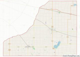
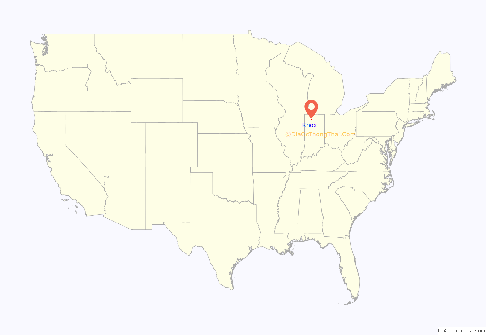
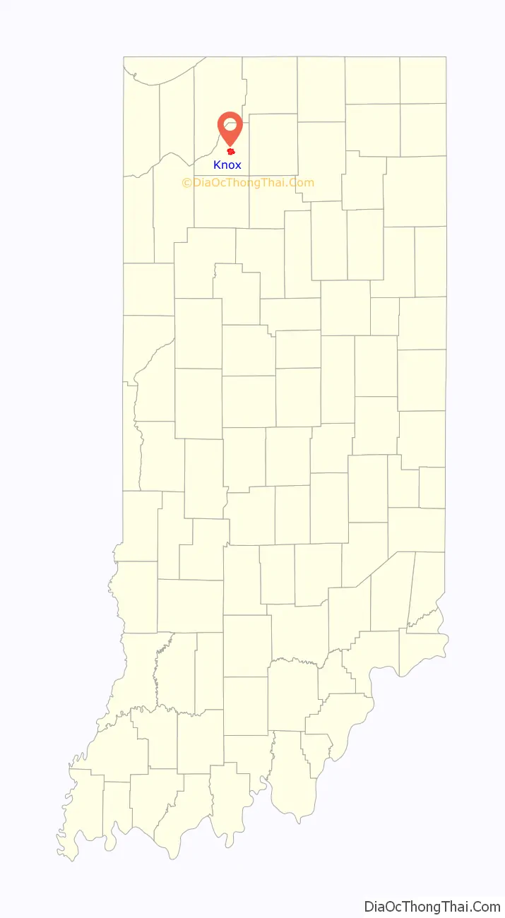
Knox location map. Where is Knox city?
History
Knox was founded in 1851, and is named for American Revolutionary War General Henry Knox. The Knox post office has been in operation since 1820.
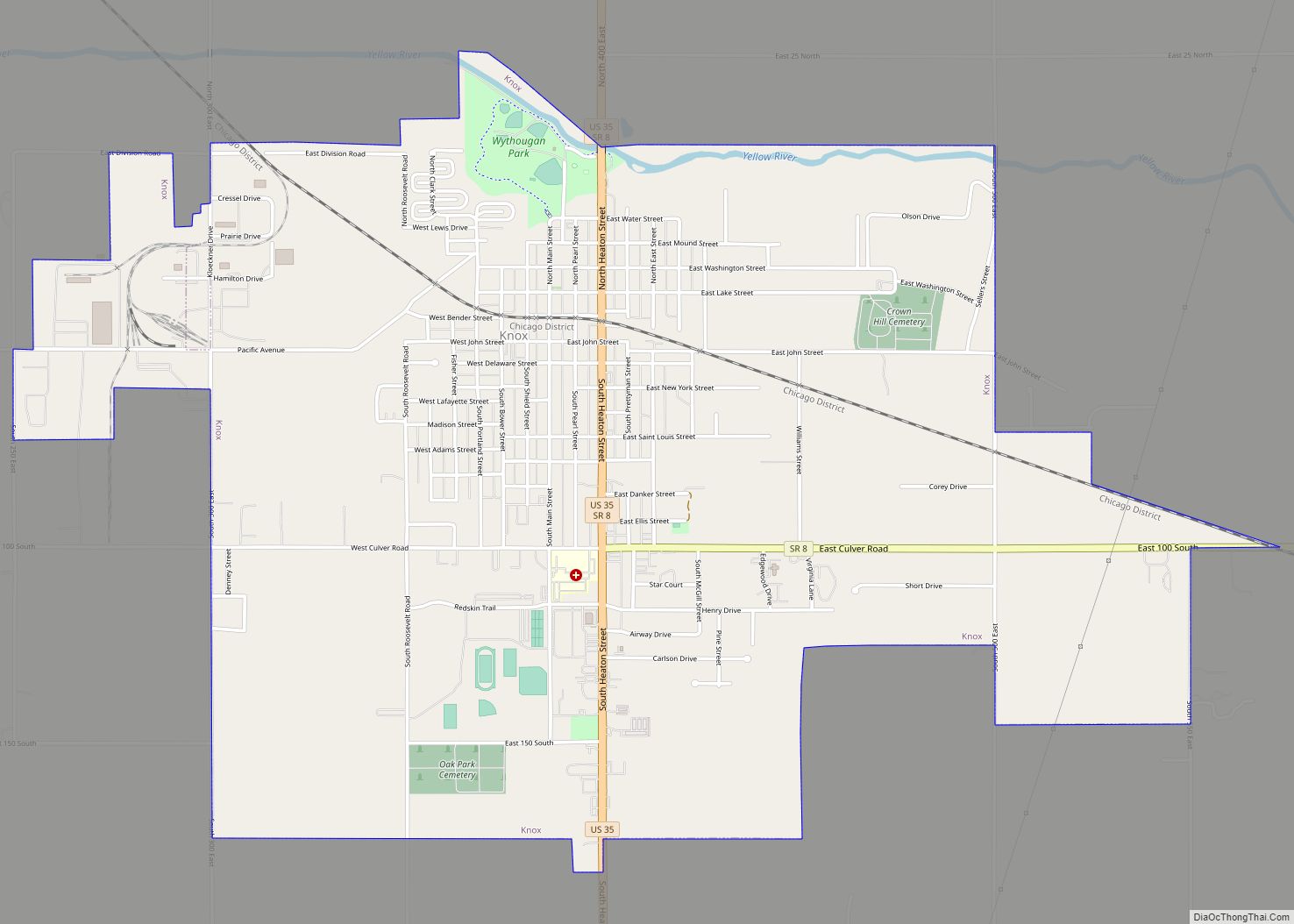
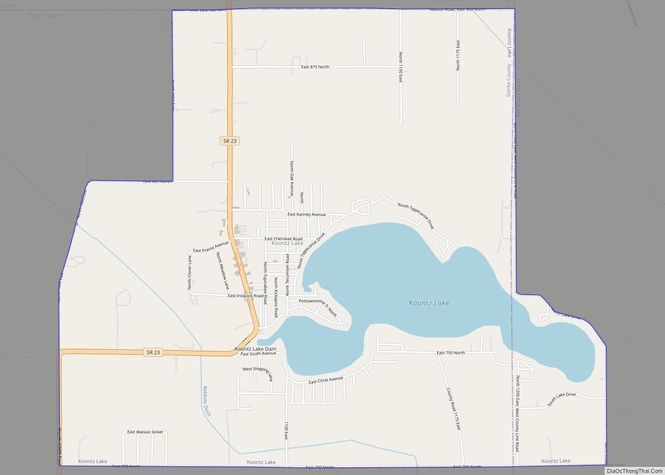
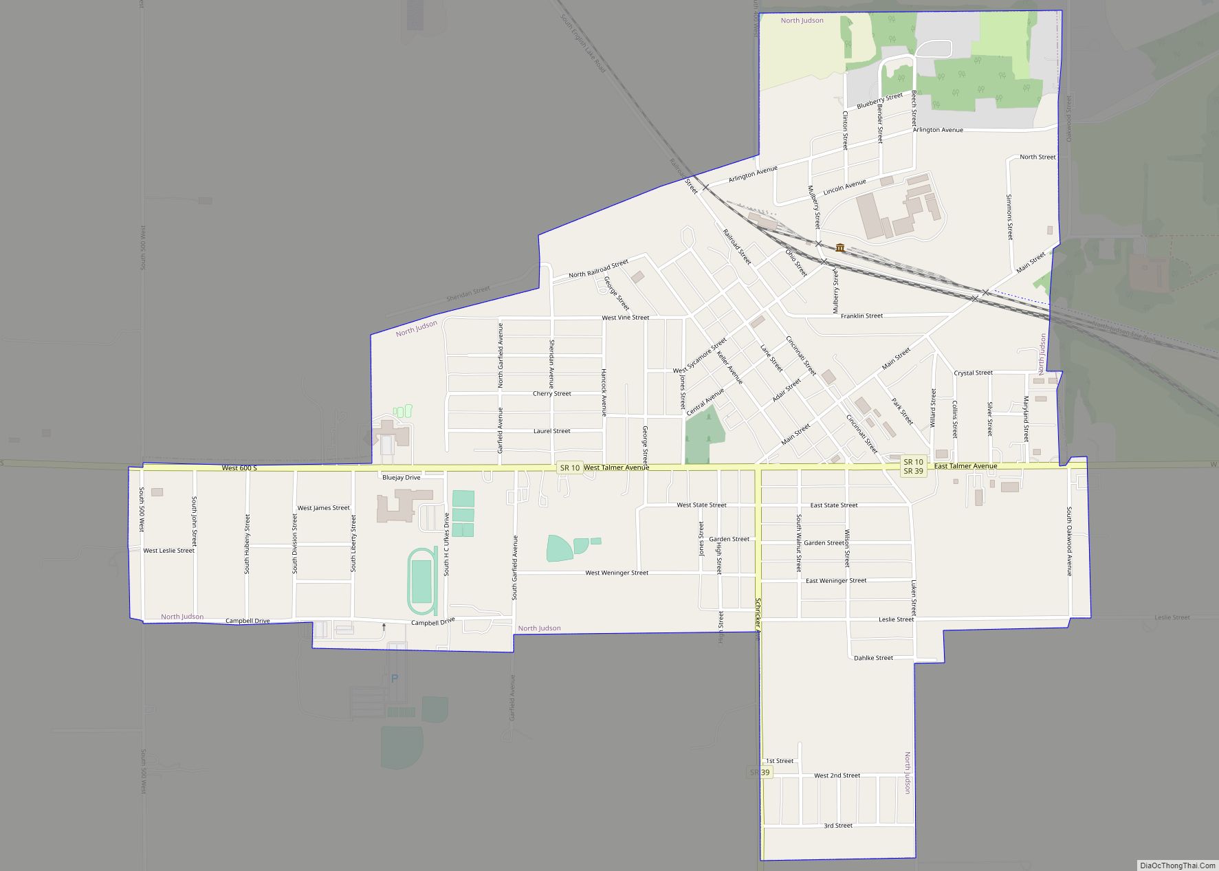
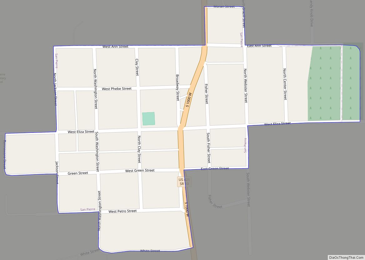
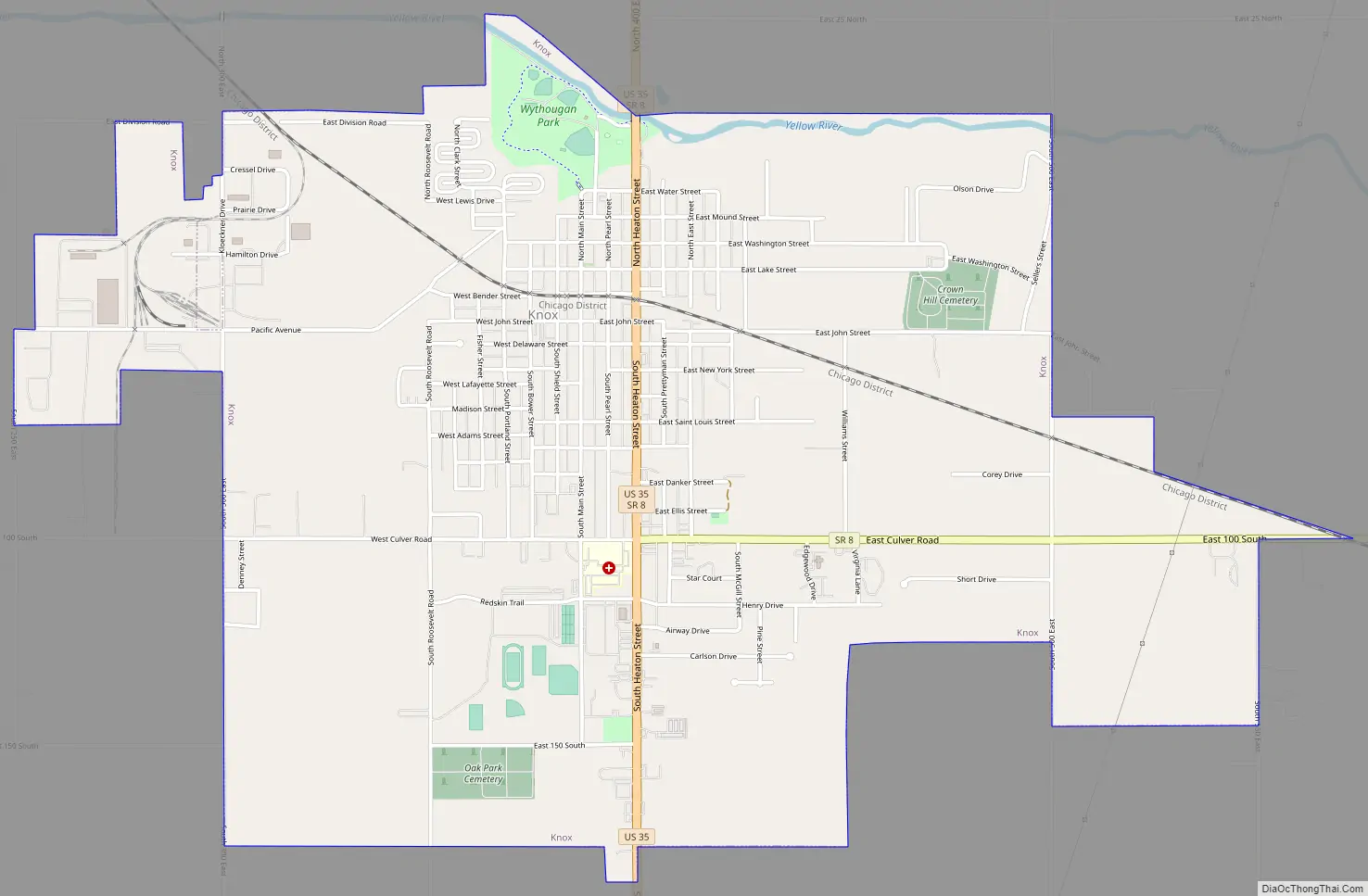
Knox Road Map
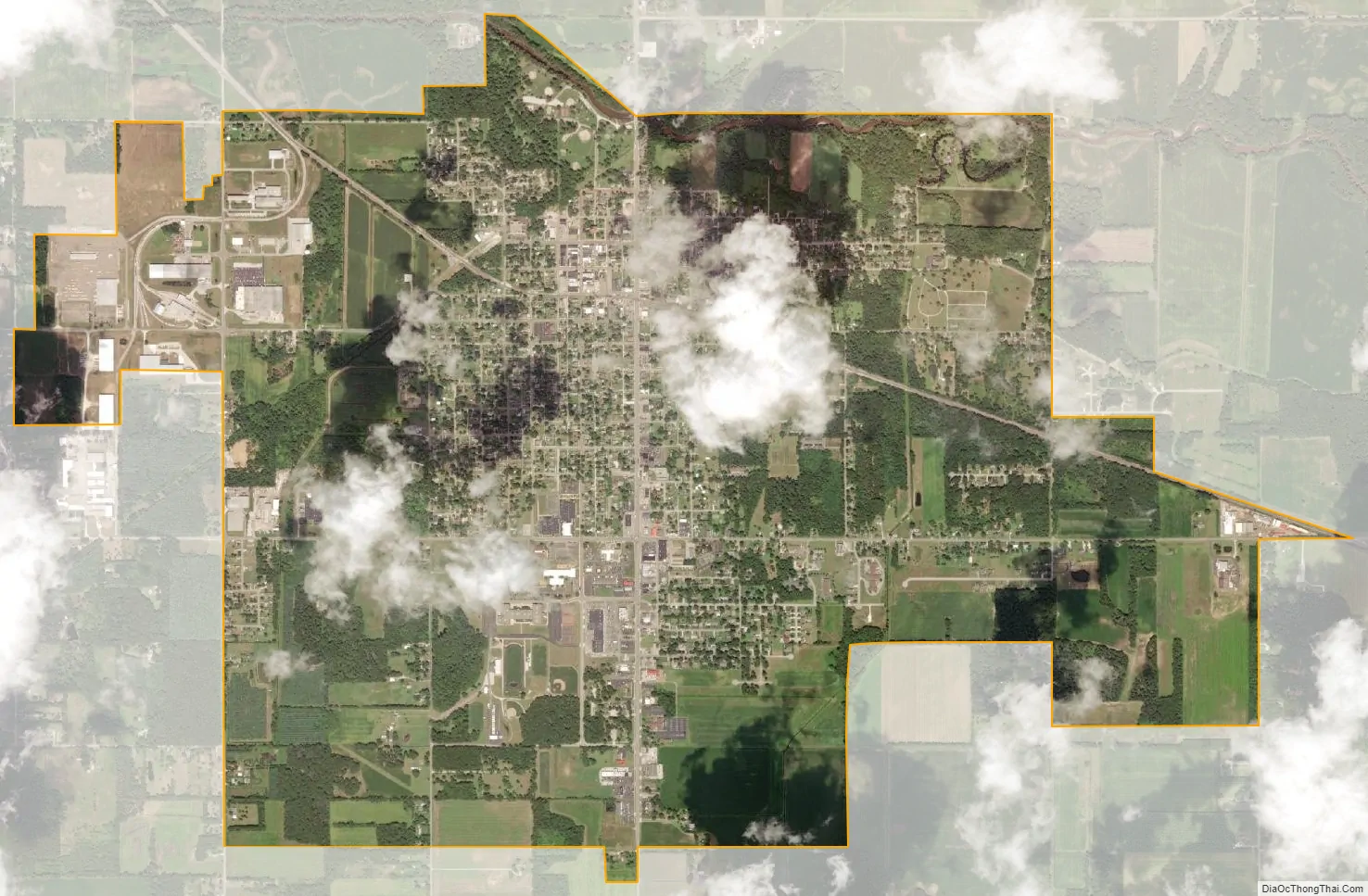
Knox city Satellite Map
Geography
Knox is located along the Yellow River.
According to the 2010 United States Census, Knox has a total area of 3.92 square miles (10.15 km), all land.
Knox is the geographic center of the Big Ten Conference, according to a 2018 article in fivethirtyeight.com that referred to locations of various NCAA Men’s Basketball Conference championships.
See also
Map of Indiana State and its subdivision:- Adams
- Allen
- Bartholomew
- Benton
- Blackford
- Boone
- Brown
- Carroll
- Cass
- Clark
- Clay
- Clinton
- Crawford
- Daviess
- De Kalb
- Dearborn
- Decatur
- Delaware
- Dubois
- Elkhart
- Fayette
- Floyd
- Fountain
- Franklin
- Fulton
- Gibson
- Grant
- Greene
- Hamilton
- Hancock
- Harrison
- Hendricks
- Henry
- Howard
- Huntington
- Jackson
- Jasper
- Jay
- Jefferson
- Jennings
- Johnson
- Knox
- Kosciusko
- LaGrange
- Lake
- Lake Michigan
- LaPorte
- Lawrence
- Madison
- Marion
- Marshall
- Martin
- Miami
- Monroe
- Montgomery
- Morgan
- Newton
- Noble
- Ohio
- Orange
- Owen
- Parke
- Perry
- Pike
- Porter
- Posey
- Pulaski
- Putnam
- Randolph
- Ripley
- Rush
- Saint Joseph
- Scott
- Shelby
- Spencer
- Starke
- Steuben
- Sullivan
- Switzerland
- Tippecanoe
- Tipton
- Union
- Vanderburgh
- Vermillion
- Vigo
- Wabash
- Warren
- Warrick
- Washington
- Wayne
- Wells
- White
- Whitley
- Alabama
- Alaska
- Arizona
- Arkansas
- California
- Colorado
- Connecticut
- Delaware
- District of Columbia
- Florida
- Georgia
- Hawaii
- Idaho
- Illinois
- Indiana
- Iowa
- Kansas
- Kentucky
- Louisiana
- Maine
- Maryland
- Massachusetts
- Michigan
- Minnesota
- Mississippi
- Missouri
- Montana
- Nebraska
- Nevada
- New Hampshire
- New Jersey
- New Mexico
- New York
- North Carolina
- North Dakota
- Ohio
- Oklahoma
- Oregon
- Pennsylvania
- Rhode Island
- South Carolina
- South Dakota
- Tennessee
- Texas
- Utah
- Vermont
- Virginia
- Washington
- West Virginia
- Wisconsin
- Wyoming