La Porte (from French ‘the door’) is a city in LaPorte County, Indiana, United States, of which it is the county seat. Its population was estimated to be 21,341 in 2022. It is one of the two principal cities of the Michigan City-La Porte, Indiana Metropolitan Statistical Area, which is included in the Chicago–Naperville–Michigan City, Illinois–Indiana–Wisconsin Combined Statistical Area.
La Porte is located in northwest Indiana, east of Gary, and west of South Bend. It was first settled by European Americans in 1832. The city is twinned with Grangemouth in Scotland.
| Name: | La Porte city |
|---|---|
| LSAD Code: | 25 |
| LSAD Description: | city (suffix) |
| State: | Indiana |
| County: | LaPorte County |
| Elevation: | 814 ft (248 m) |
| Total Area: | 12.68 sq mi (32.84 km²) |
| Land Area: | 11.92 sq mi (30.88 km²) |
| Water Area: | 0.76 sq mi (1.97 km²) |
| Total Population: | 22,471 |
| Population Density: | 1,884.83/sq mi (727.77/km²) |
| ZIP code: | 46350, 46352 |
| Area code: | 219 |
| FIPS code: | 1842246 |
| GNISfeature ID: | 0450449 |
| Website: | http://www.cityoflaporte.com |
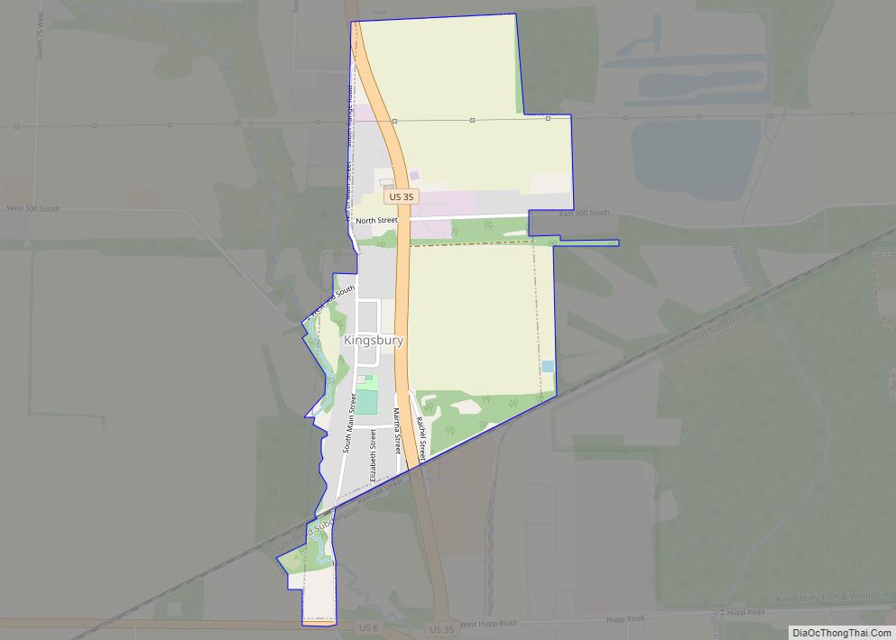
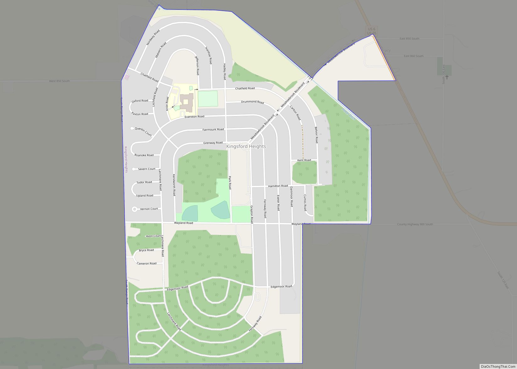
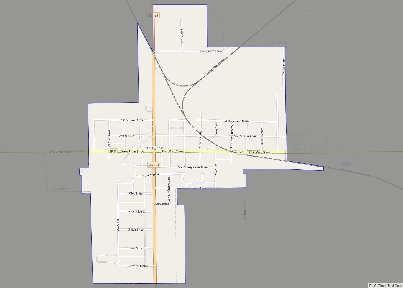
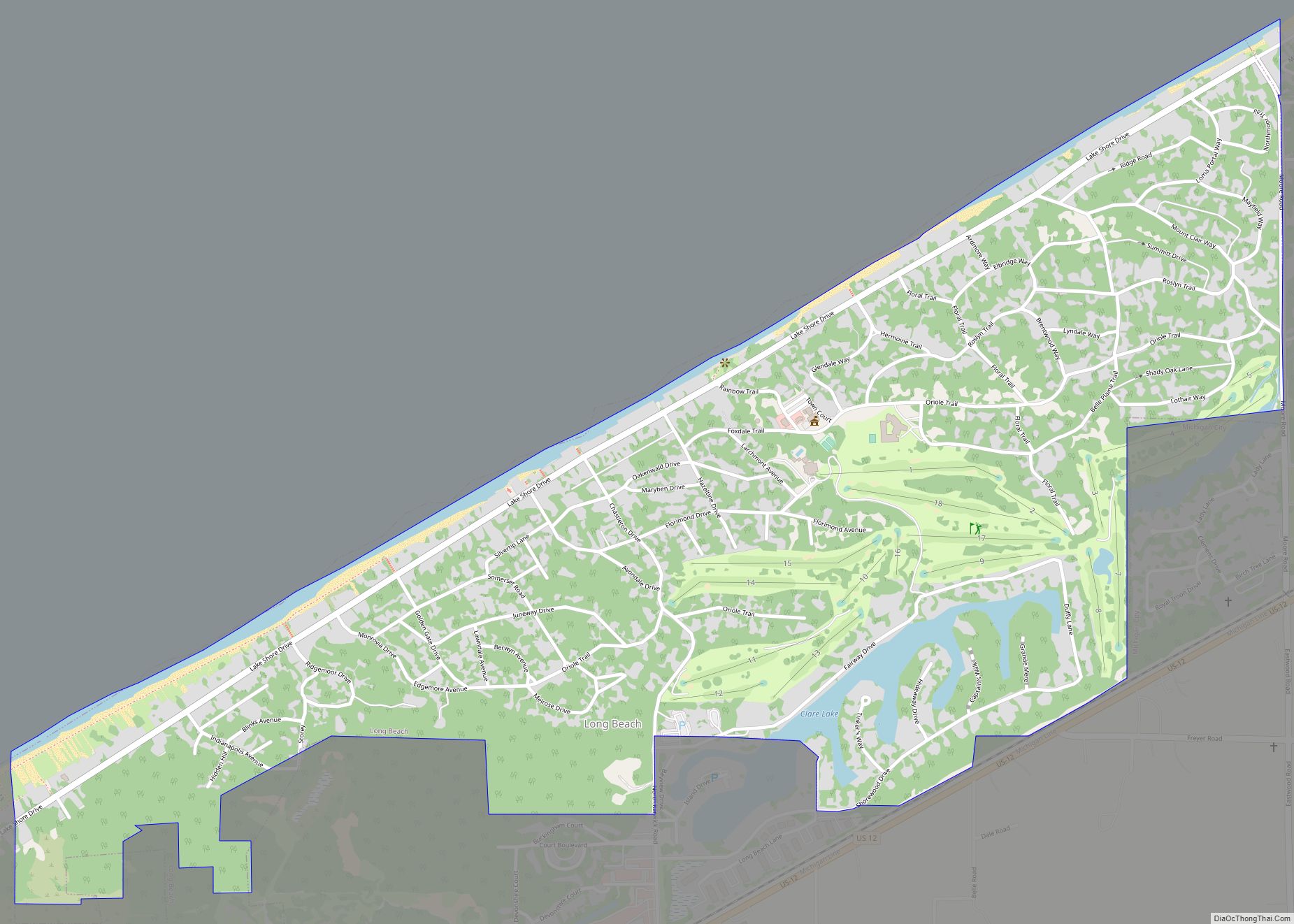
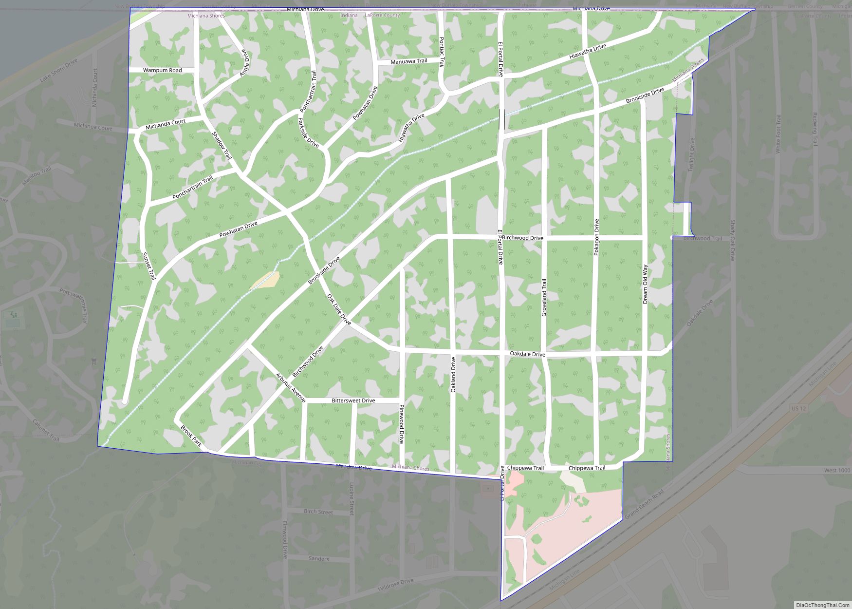
Online Interactive Map
Click on ![]() to view map in "full screen" mode.
to view map in "full screen" mode.
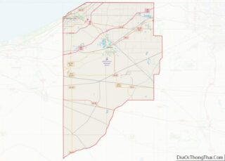
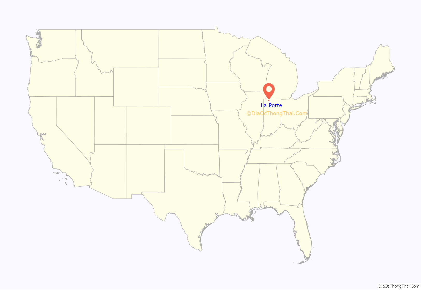
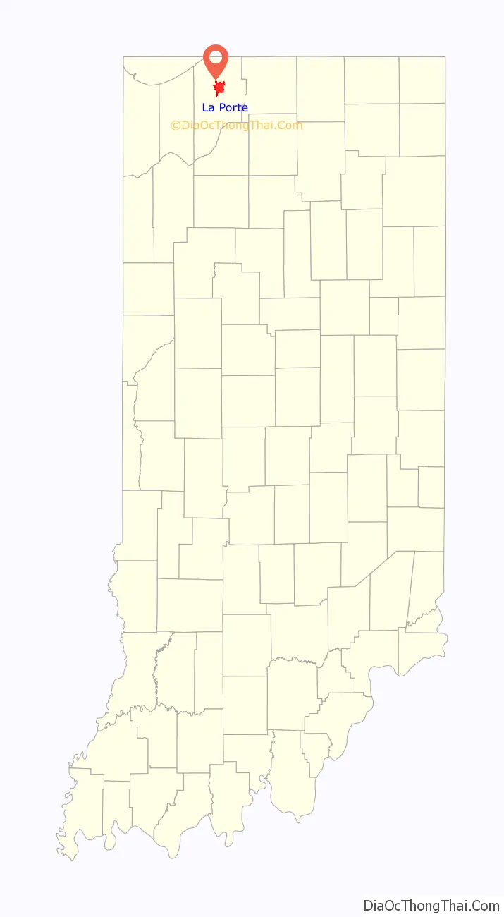
La Porte location map. Where is La Porte city?
History
The settlement of La Porte was established in July 1832. Abraham P. Andrew, one of the purchasers of the site, constructed the first sawmill in that year. The first settler arrived in October, building a permanent cabin just north of what would become the courthouse square.
After the US extinguished land claims by the Potowatomi and other historic tribes of the area by treaty and removal to Indian Territory, in 1833 a Federal Land Office was established in La Porte. People would come to this office from newly established surrounding counties to buy land from the government, including Solon Robinson, founder of Crown Point. The office was moved to Winamac in 1839.
By 1835 the settlement had grown to the extent that La Porte was incorporated as a town. A newspaper was established in 1836. La Porte Medical School, the first of its kind in the Midwest, was founded in 1842. An alumnus of school, William Worrall Mayo, established what became the famed Mayo Clinic in Minnesota in 1889.
By 1852 La Porte had become a well-established settlement of considerable size for its time and vicinity, with 5,000 residents. In that same year it was granted a city charter by the Indiana General Assembly, and the first mayor was elected. La Porte continued to grow, attracting numerous diverse industries, the largest of which became the Advance-Rumely company. Advance-Rumely developed and manufactured the Oil-Pull tractor engine, considered to have played a pivotal role in the agricultural development of the Great Plains. By 1869, Advance-Rumely was the largest employer in La Porte.
During the 1850s numerous maple trees were planted along Indiana and Michigan avenues in the city by local resident Sebastian Lay. Subsequently, La Porte became known as the “Maple City”. Today, Indiana and Michigan Avenues comprise a historic district in the city, containing many homes and other structures of architectural and historical interest. Between 1892 and 1894, the third and current LaPorte county courthouse was erected at a cost of $300,000. The structure is built of red sandstone from Lake Superior, shipped via boat to Michigan City and then by rail to La Porte. The courthouse is considered to be one of La Porte’s best known structures. In 2007 the exterior of the building was extensively restored at a cost of $2.9 million.
Historic sites districts
- Downtown LaPorte Historic District
- Francis H. Morrison House
- Indiana and Michigan Avenues Historic District
- Marion Ridgeway Polygonal Barn
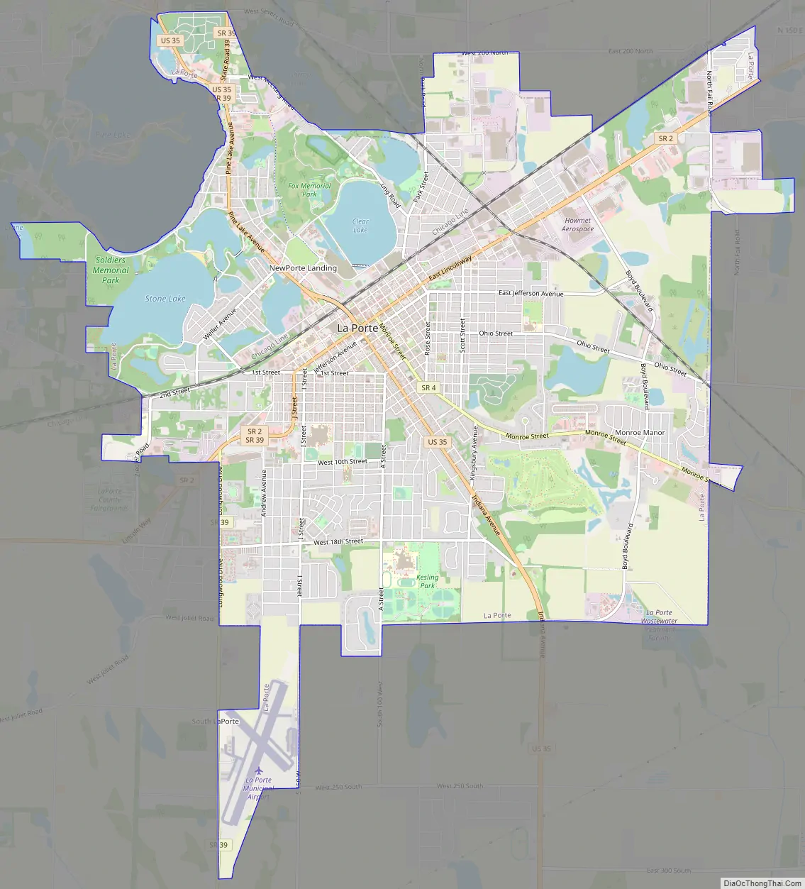
La Porte Road Map
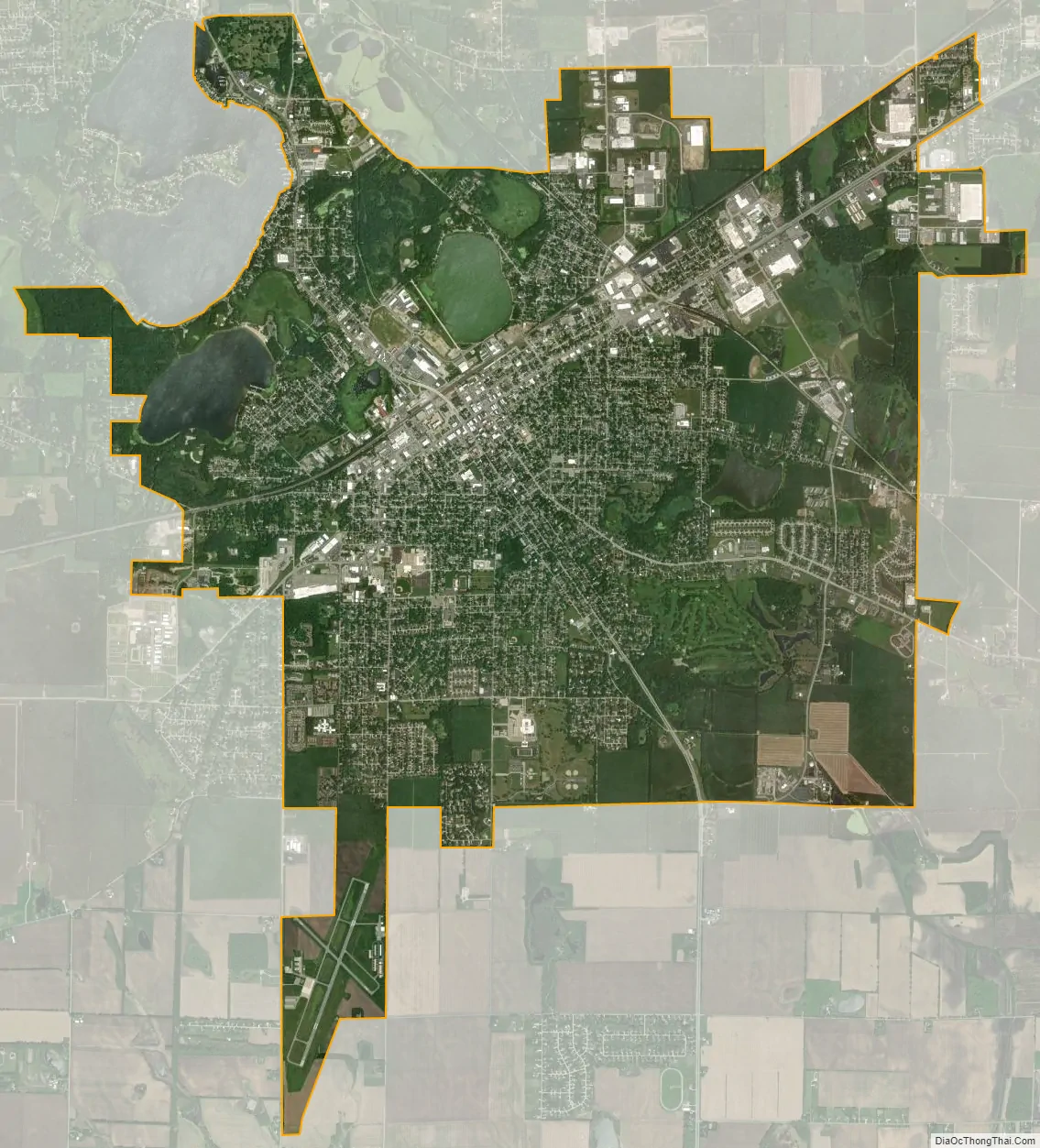
La Porte city Satellite Map
Geography
La Porte is located at 41°36′33″N 86°43′3″W / 41.60917°N 86.71750°W / 41.60917; -86.71750 (41.609057, −86.717567).
According to the 2010 census, La Porte has a total area of 12.37 square miles (32.04 km), of which 11.66 square miles (30.20 km) (or 94.26%) is land and 0.71 square miles (1.84 km) (or 5.74%) is water. U.S. 35 passes through La Porte.
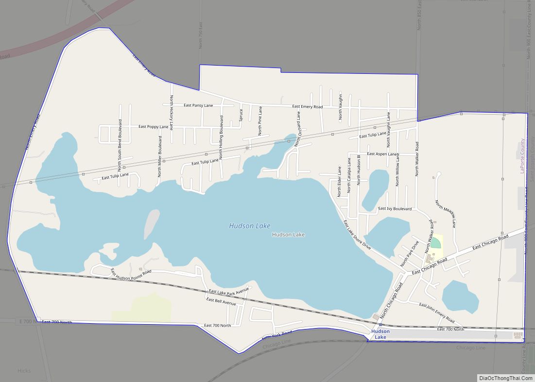
La Porte is accessible from Chicago by the South Shore train line which begins at Millennium Station and ends in Michigan City, Indiana. With multiple stops in between including Chesterton and Hudson Lake, Indiana. Which are both only a short drive from La Porte.
La Porte is also accessible by Automobile.
See also
Map of Indiana State and its subdivision:- Adams
- Allen
- Bartholomew
- Benton
- Blackford
- Boone
- Brown
- Carroll
- Cass
- Clark
- Clay
- Clinton
- Crawford
- Daviess
- De Kalb
- Dearborn
- Decatur
- Delaware
- Dubois
- Elkhart
- Fayette
- Floyd
- Fountain
- Franklin
- Fulton
- Gibson
- Grant
- Greene
- Hamilton
- Hancock
- Harrison
- Hendricks
- Henry
- Howard
- Huntington
- Jackson
- Jasper
- Jay
- Jefferson
- Jennings
- Johnson
- Knox
- Kosciusko
- LaGrange
- Lake
- Lake Michigan
- LaPorte
- Lawrence
- Madison
- Marion
- Marshall
- Martin
- Miami
- Monroe
- Montgomery
- Morgan
- Newton
- Noble
- Ohio
- Orange
- Owen
- Parke
- Perry
- Pike
- Porter
- Posey
- Pulaski
- Putnam
- Randolph
- Ripley
- Rush
- Saint Joseph
- Scott
- Shelby
- Spencer
- Starke
- Steuben
- Sullivan
- Switzerland
- Tippecanoe
- Tipton
- Union
- Vanderburgh
- Vermillion
- Vigo
- Wabash
- Warren
- Warrick
- Washington
- Wayne
- Wells
- White
- Whitley
- Alabama
- Alaska
- Arizona
- Arkansas
- California
- Colorado
- Connecticut
- Delaware
- District of Columbia
- Florida
- Georgia
- Hawaii
- Idaho
- Illinois
- Indiana
- Iowa
- Kansas
- Kentucky
- Louisiana
- Maine
- Maryland
- Massachusetts
- Michigan
- Minnesota
- Mississippi
- Missouri
- Montana
- Nebraska
- Nevada
- New Hampshire
- New Jersey
- New Mexico
- New York
- North Carolina
- North Dakota
- Ohio
- Oklahoma
- Oregon
- Pennsylvania
- Rhode Island
- South Carolina
- South Dakota
- Tennessee
- Texas
- Utah
- Vermont
- Virginia
- Washington
- West Virginia
- Wisconsin
- Wyoming