Arcadia is a town in Jackson Township, Hamilton County, Indiana, United States. The population was 1,666 at the 2010 census. Arcadia town overview: Name: Arcadia town LSAD Code: 43 LSAD Description: town (suffix) State: Indiana County: Hamilton County Elevation: 860 ft (262 m) Total Area: 0.55 sq mi (1.43 km²) Land Area: 0.55 sq mi (1.43 km²) Water Area: 0.00 sq mi (0.00 km²) Total Population: ... Read more
Indiana Cities and Places
Ashley is a town in Indiana located on the border of Smithfield Township, DeKalb County and Steuben Township, Steuben County. The population was 983 at the 2010 census. Ashley town overview: Name: Ashley town LSAD Code: 43 LSAD Description: town (suffix) State: Indiana County: DeKalb County, Steuben County Elevation: 1,001 ft (305 m) Total Area: 1.90 sq mi (4.93 km²) ... Read more
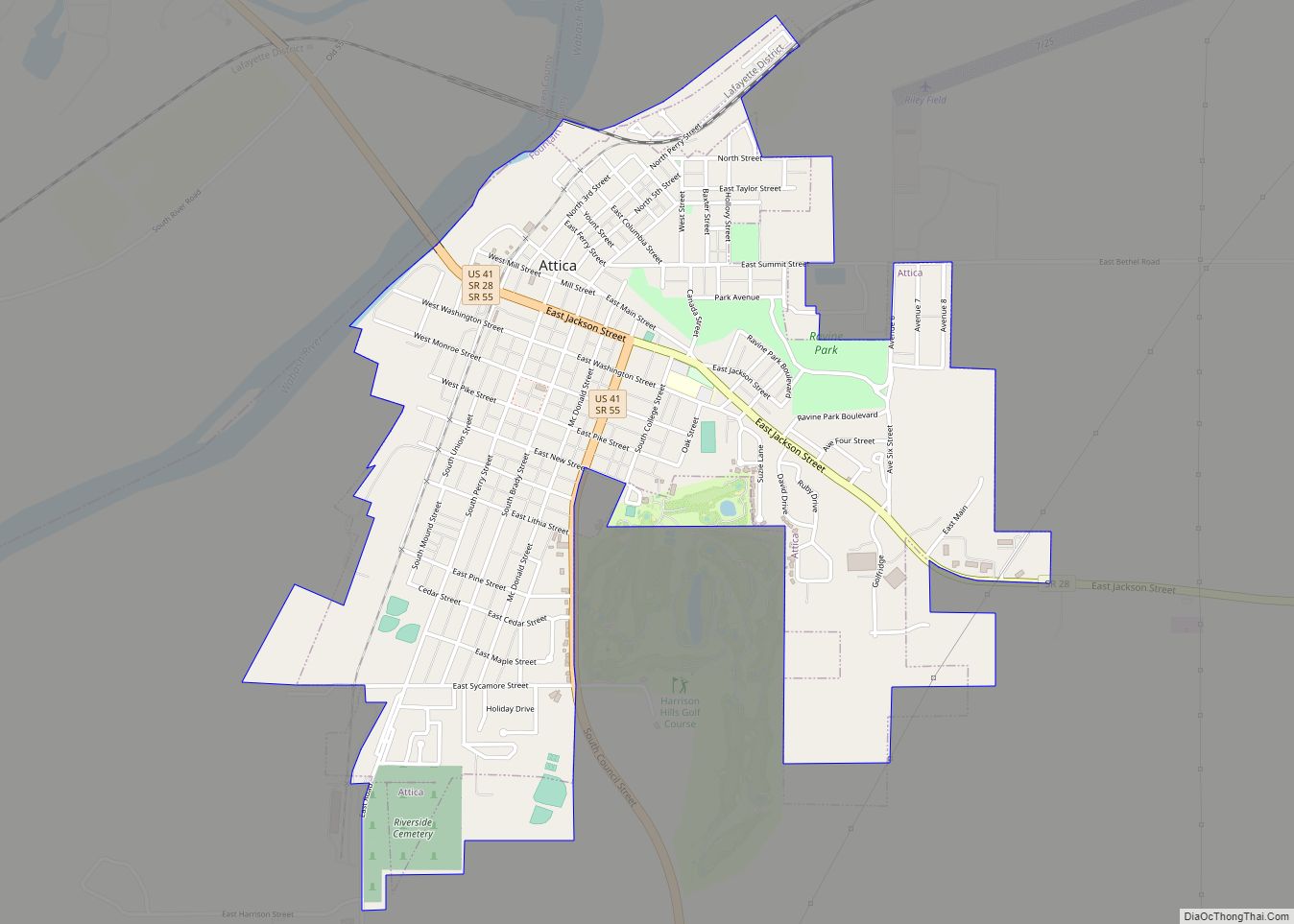
Attica is a city in Logan Township, Fountain County, Indiana, United States. Attica city overview: Name: Attica city LSAD Code: 25 LSAD Description: city (suffix) State: Indiana County: Fountain County Elevation: 545 ft (166 m) Total Area: 1.80 sq mi (4.67 km²) Land Area: 1.80 sq mi (4.67 km²) Water Area: 0.00 sq mi (0.00 km²) Total Population: 3,036 Population Density: 1,682.93/sq mi (649.85/km²) ZIP code: 47918 ... Read more
Atlanta town overview: Name: Atlanta town LSAD Code: 43 LSAD Description: town (suffix) State: Indiana County: Hamilton County FIPS code: 1802602 Online Interactive Map Atlanta online map. Source: Basemap layers from Google Map, Open Street Map (OSM), Arcgisonline, Wmflabs. Boundary Data from Database of Global Administrative Areas. Atlanta location map. Where is Atlanta town? Atlanta ... Read more
Austin is a city in Jennings Township, Scott County, in the U.S. state of Indiana. The population was 4,272 at the 2000 census, at which time it was a town; Austin became a city on January 1, 2008. The population was 4,295 at the 2010 census. Austin city overview: Name: Austin city LSAD Code: 25 ... Read more
Aurora is a city in Center Township, Dearborn County, Indiana, United States. The population was 3,750 at the 2010 census. Aurora city overview: Name: Aurora city LSAD Code: 25 LSAD Description: city (suffix) State: Indiana County: Dearborn County Incorporated: 1848 Elevation: 486 ft (148 m) Total Area: 3.54 sq mi (9.16 km²) Land Area: 3.29 sq mi (8.53 km²) Water Area: 0.24 sq mi (0.63 km²) ... Read more
Auburn is a city in DeKalb County, Indiana, United States. The population was 13,820 at the 2020 census. Founded in 1836 by Wesley Park (1811–1868), the city is the county seat of DeKalb County. Auburn is also known as Home of the Classics. Auburn city overview: Name: Auburn city LSAD Code: 25 LSAD Description: city ... Read more
Avon is a town in Washington Township, Hendricks County, Indiana, United States. The population was 21,474 at the 2020 census. It is part of the Indianapolis metropolitan area. Avon town overview: Name: Avon town LSAD Code: 43 LSAD Description: town (suffix) State: Indiana County: Hendricks County Elevation: 833 ft (254 m) Total Area: 19.41 sq mi (50.26 km²) Land Area: ... Read more
Avoca is an unincorporated community and census-designated place in Marshall Township, Lawrence County, Indiana, United States. As of the 2010 census the population was 583. Avoca CDP overview: Name: Avoca CDP LSAD Code: 57 LSAD Description: CDP (suffix) State: Indiana County: Lawrence County Elevation: 623 ft (190 m) Total Area: 2.10 sq mi (5.43 km²) Land Area: 2.10 sq mi (5.43 km²) Water ... Read more
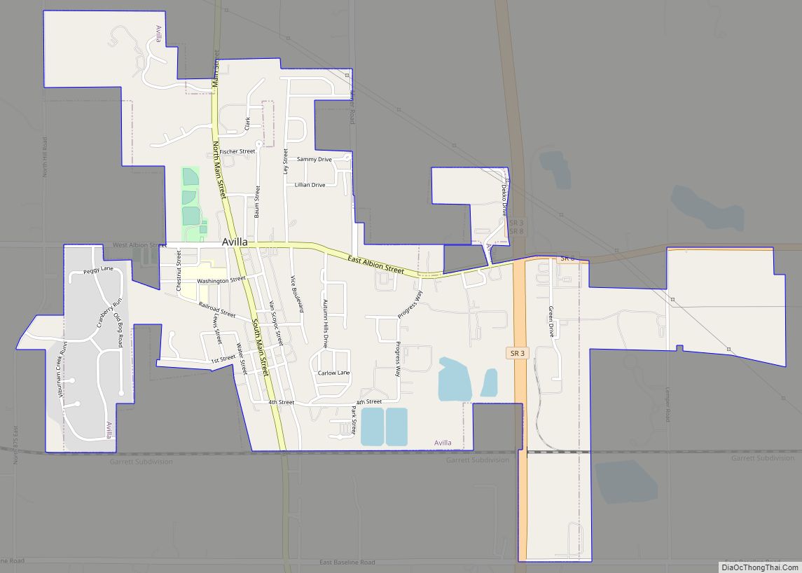
Avilla is a town in Allen Township, Noble County, in the U.S. state of Indiana. The population was 2,401 at the 2010 census. Avilla town overview: Name: Avilla town LSAD Code: 43 LSAD Description: town (suffix) State: Indiana County: Noble County Elevation: 968 ft (295 m) Total Area: 1.71 sq mi (4.42 km²) Land Area: 1.71 sq mi (4.42 km²) Water Area: 0.00 sq mi ... Read more
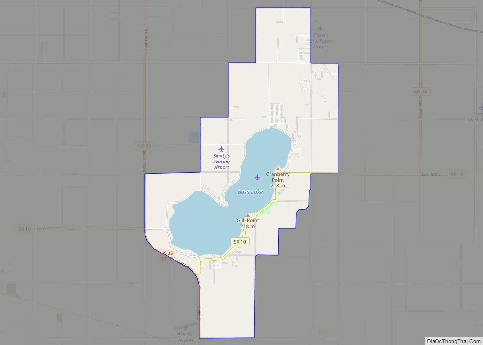
Bass Lake is a census-designated place (CDP) in California and North Bend Townships, Starke County, in the U.S. state of Indiana. The population was 1,195 at the 2010 census. Covering over 1,300 surface acres, Bass Lake is the third-largest natural lake in Indiana. Bass Lake CDP overview: Name: Bass Lake CDP LSAD Code: 57 LSAD ... Read more
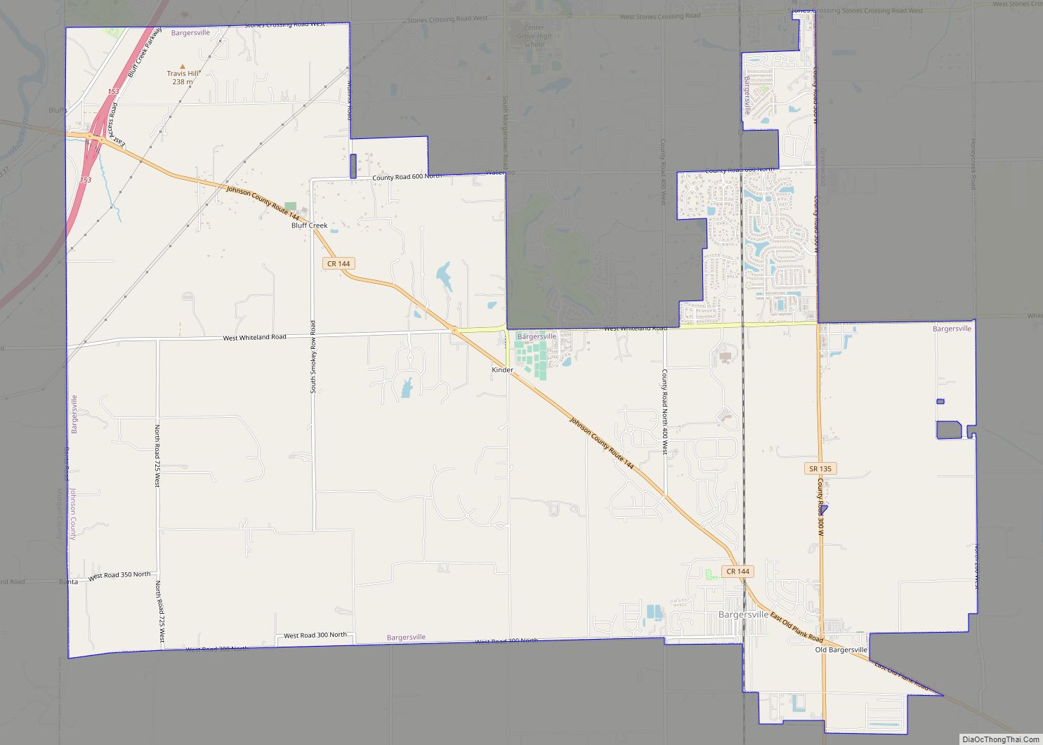
Bargersville is a town in White River and Union townships, Johnson County, Indiana, United States. The population was 9,560 at the 2020 census. Bargersville town overview: Name: Bargersville town LSAD Code: 43 LSAD Description: town (suffix) State: Indiana County: Johnson County Elevation: 820 ft (250 m) Total Area: 18.73 sq mi (48.50 km²) Land Area: 18.71 sq mi (48.46 km²) Water Area: 0.02 sq mi ... Read more


