Avilla is a town in Allen Township, Noble County, in the U.S. state of Indiana. The population was 2,401 at the 2010 census.
| Name: | Avilla town |
|---|---|
| LSAD Code: | 43 |
| LSAD Description: | town (suffix) |
| State: | Indiana |
| County: | Noble County |
| Elevation: | 968 ft (295 m) |
| Total Area: | 1.71 sq mi (4.42 km²) |
| Land Area: | 1.71 sq mi (4.42 km²) |
| Water Area: | 0.00 sq mi (0.00 km²) |
| Total Population: | 2,438 |
| Population Density: | 1,427.40/sq mi (551.00/km²) |
| ZIP code: | 46710 |
| Area code: | 260 |
| FIPS code: | 1802872 |
| Website: | avilla-in.org |
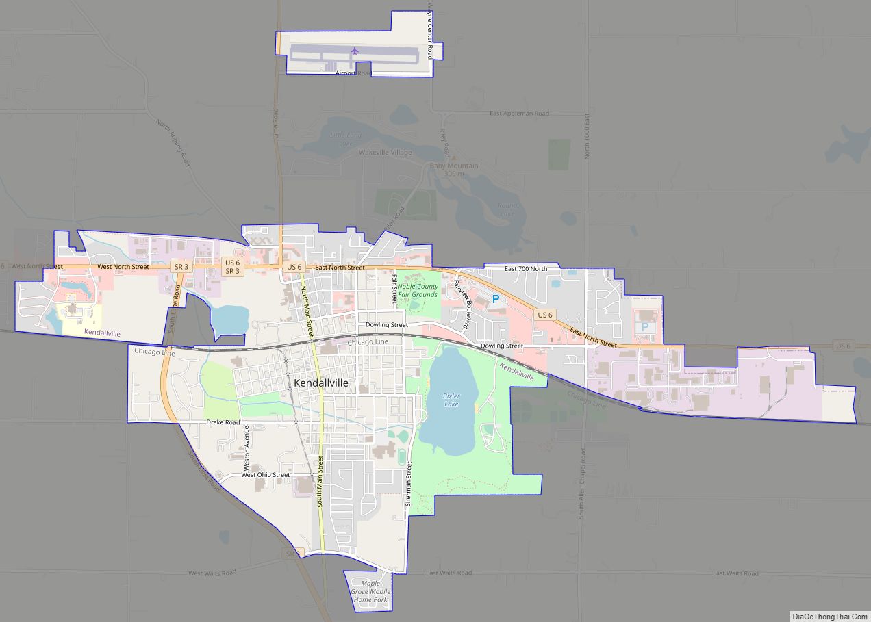
Online Interactive Map
Click on ![]() to view map in "full screen" mode.
to view map in "full screen" mode.
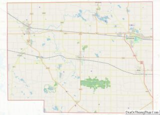
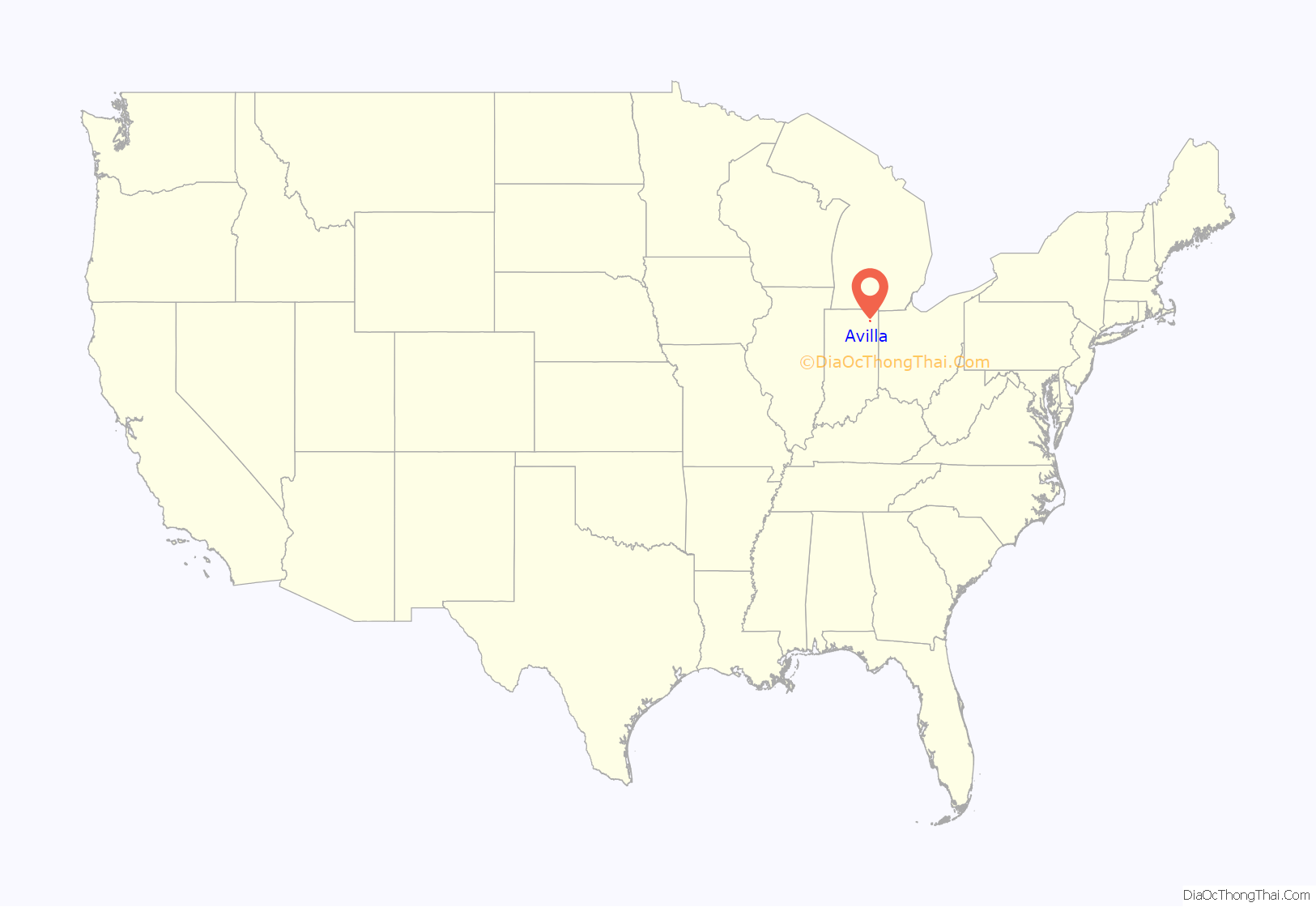
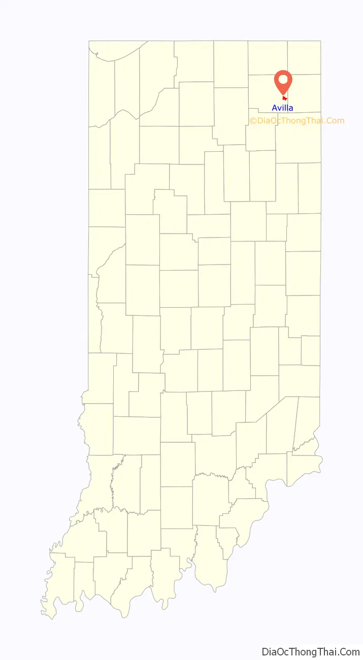
Avilla location map. Where is Avilla town?
History
A post office has been in operation at Avilla since 1846. According to Ronald L. Baker, the town may be named after Ávila, Spain, other sources indicated the name was given to represent the French word “villa,” meaning a small town.
Among the oldest buildings is the St. James Hotel, which is now the St. James Restaurant. Today Avilla Motor Works has become one of the most well-known businesses in the city, serving many nearby cities.
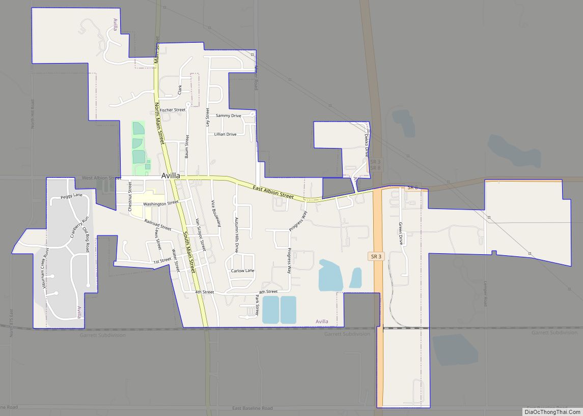
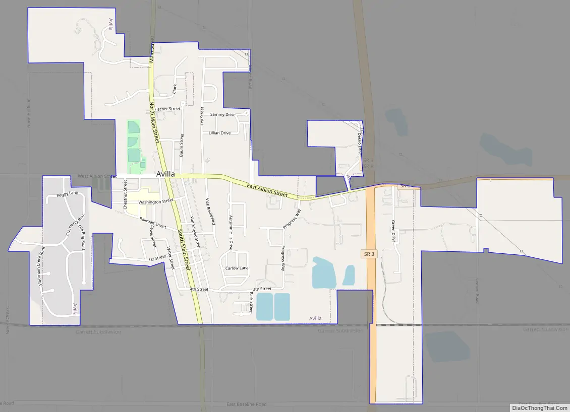
Avilla Road Map
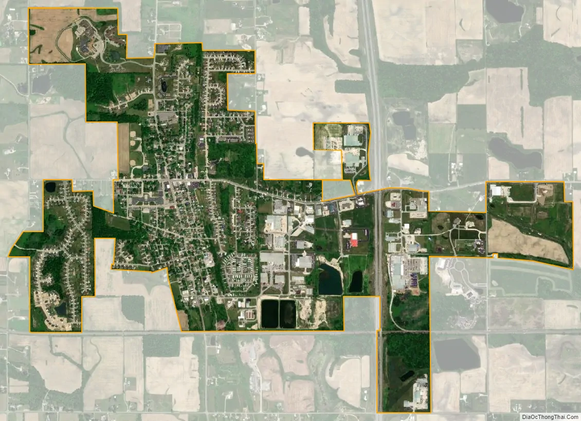
Avilla city Satellite Map
Geography
Avilla is located at 41°21′50″N 85°14′11″W / 41.36389°N 85.23639°W / 41.36389; -85.23639 (41.363977, -85.236524).
According to the 2010 census, Avilla has a total area of 1.48 square miles (3.83 km), all land.
See also
Map of Indiana State and its subdivision:- Adams
- Allen
- Bartholomew
- Benton
- Blackford
- Boone
- Brown
- Carroll
- Cass
- Clark
- Clay
- Clinton
- Crawford
- Daviess
- De Kalb
- Dearborn
- Decatur
- Delaware
- Dubois
- Elkhart
- Fayette
- Floyd
- Fountain
- Franklin
- Fulton
- Gibson
- Grant
- Greene
- Hamilton
- Hancock
- Harrison
- Hendricks
- Henry
- Howard
- Huntington
- Jackson
- Jasper
- Jay
- Jefferson
- Jennings
- Johnson
- Knox
- Kosciusko
- LaGrange
- Lake
- Lake Michigan
- LaPorte
- Lawrence
- Madison
- Marion
- Marshall
- Martin
- Miami
- Monroe
- Montgomery
- Morgan
- Newton
- Noble
- Ohio
- Orange
- Owen
- Parke
- Perry
- Pike
- Porter
- Posey
- Pulaski
- Putnam
- Randolph
- Ripley
- Rush
- Saint Joseph
- Scott
- Shelby
- Spencer
- Starke
- Steuben
- Sullivan
- Switzerland
- Tippecanoe
- Tipton
- Union
- Vanderburgh
- Vermillion
- Vigo
- Wabash
- Warren
- Warrick
- Washington
- Wayne
- Wells
- White
- Whitley
- Alabama
- Alaska
- Arizona
- Arkansas
- California
- Colorado
- Connecticut
- Delaware
- District of Columbia
- Florida
- Georgia
- Hawaii
- Idaho
- Illinois
- Indiana
- Iowa
- Kansas
- Kentucky
- Louisiana
- Maine
- Maryland
- Massachusetts
- Michigan
- Minnesota
- Mississippi
- Missouri
- Montana
- Nebraska
- Nevada
- New Hampshire
- New Jersey
- New Mexico
- New York
- North Carolina
- North Dakota
- Ohio
- Oklahoma
- Oregon
- Pennsylvania
- Rhode Island
- South Carolina
- South Dakota
- Tennessee
- Texas
- Utah
- Vermont
- Virginia
- Washington
- West Virginia
- Wisconsin
- Wyoming