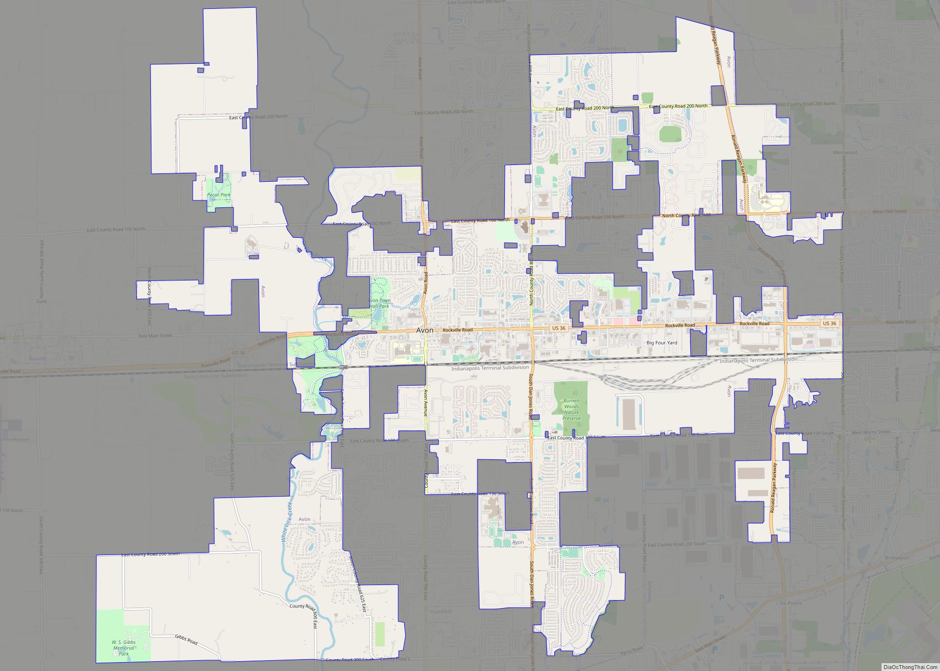
Avon is a town in Washington Township, Hendricks County, Indiana, United States. The population was 21,474 at the 2020 census. It is part of the Indianapolis metropolitan area.
| Name: | Avon town |
|---|---|
| LSAD Code: | 43 |
| LSAD Description: | town (suffix) |
| State: | Indiana |
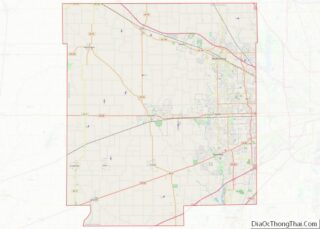
| County: | Hendricks County |
| Elevation: | 833 ft (254 m) |
| Total Area: | 19.41 sq mi (50.26 km²) |
| Land Area: | 19.25 sq mi (49.87 km²) |
| Water Area: | 0.15 sq mi (0.39 km²) |
| Total Population: | 21,474 |
| Population Density: | 1,115.24/sq mi (430.59/km²) |
| ZIP code: | 46123 |
| Area code: | 317 |
| FIPS code: | 1802908 |
| Website: | www.avongov.org |
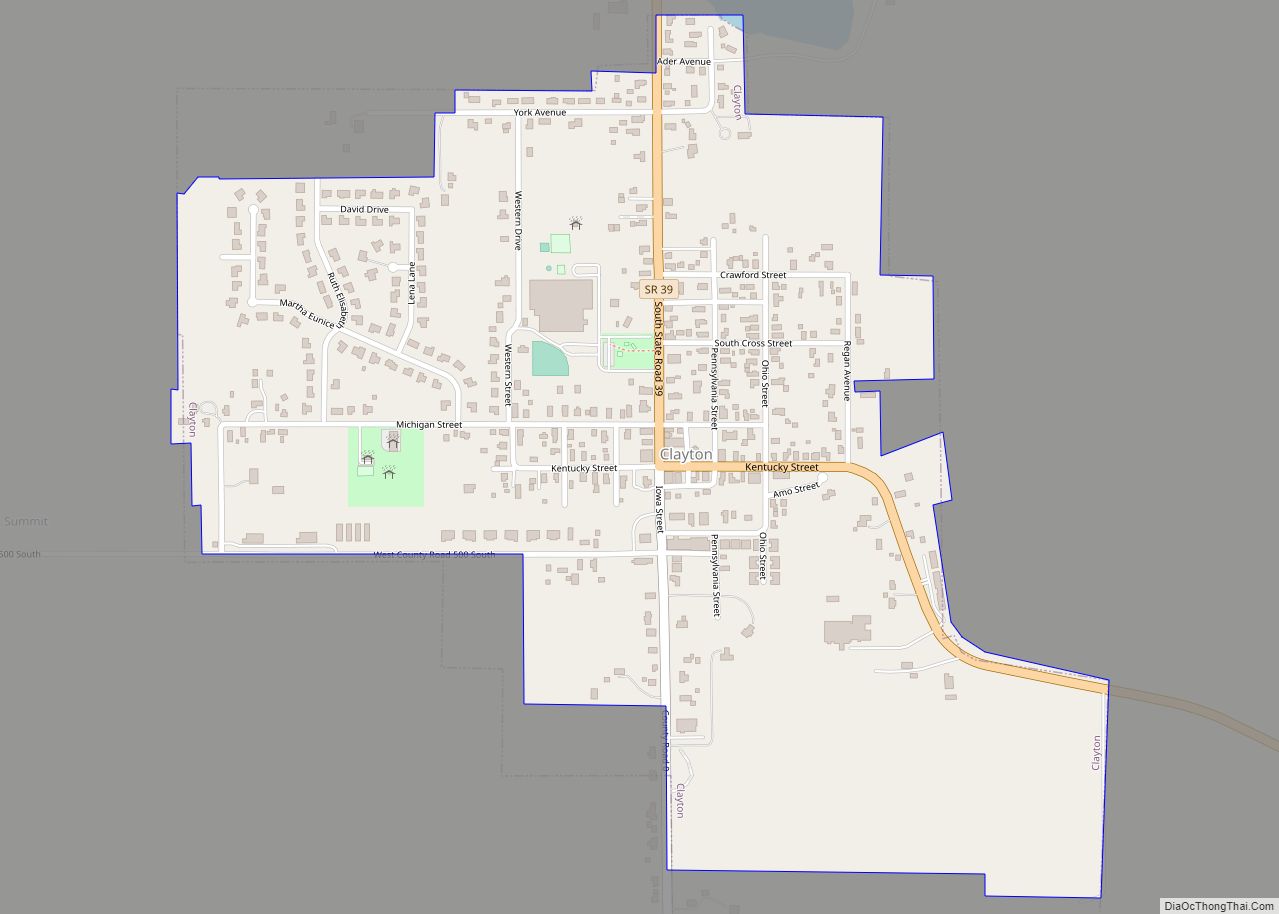
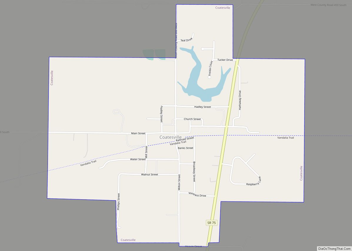
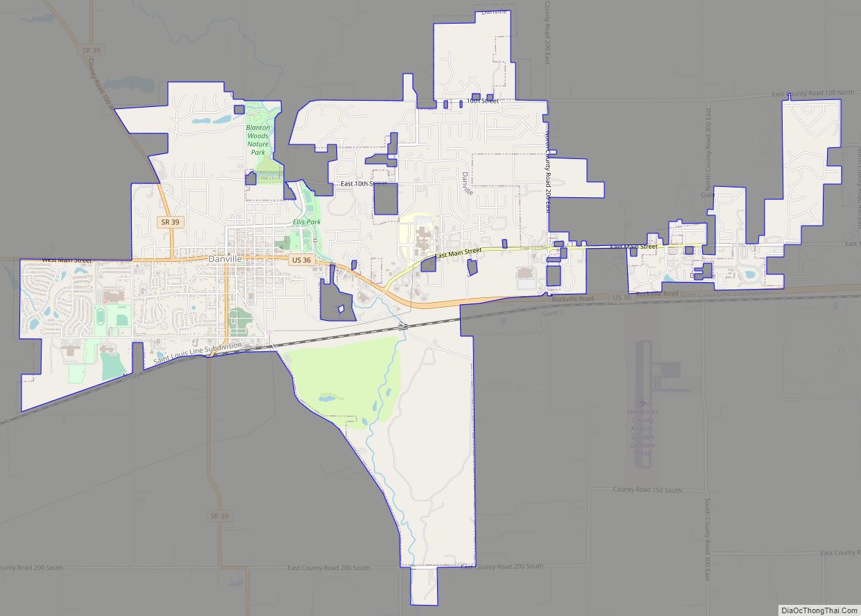
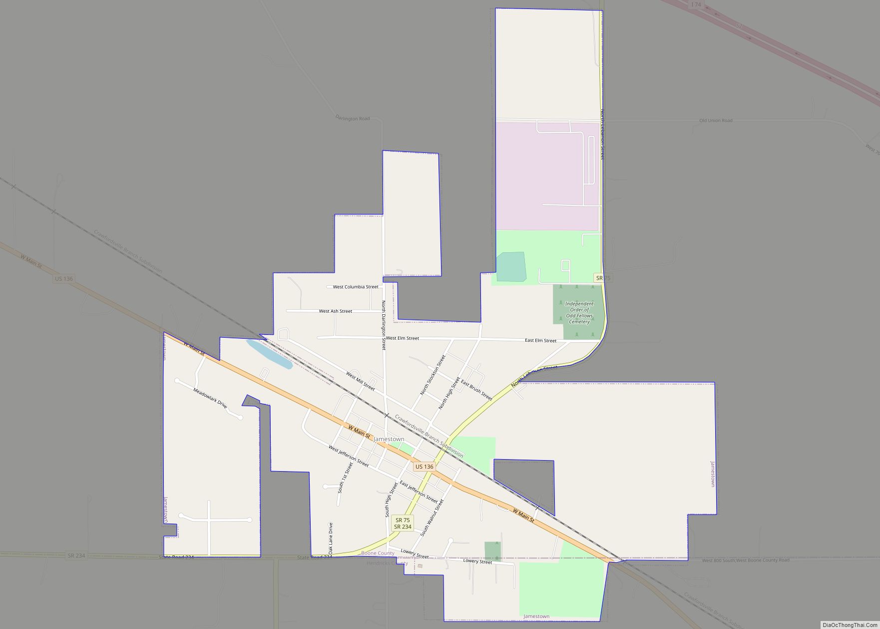
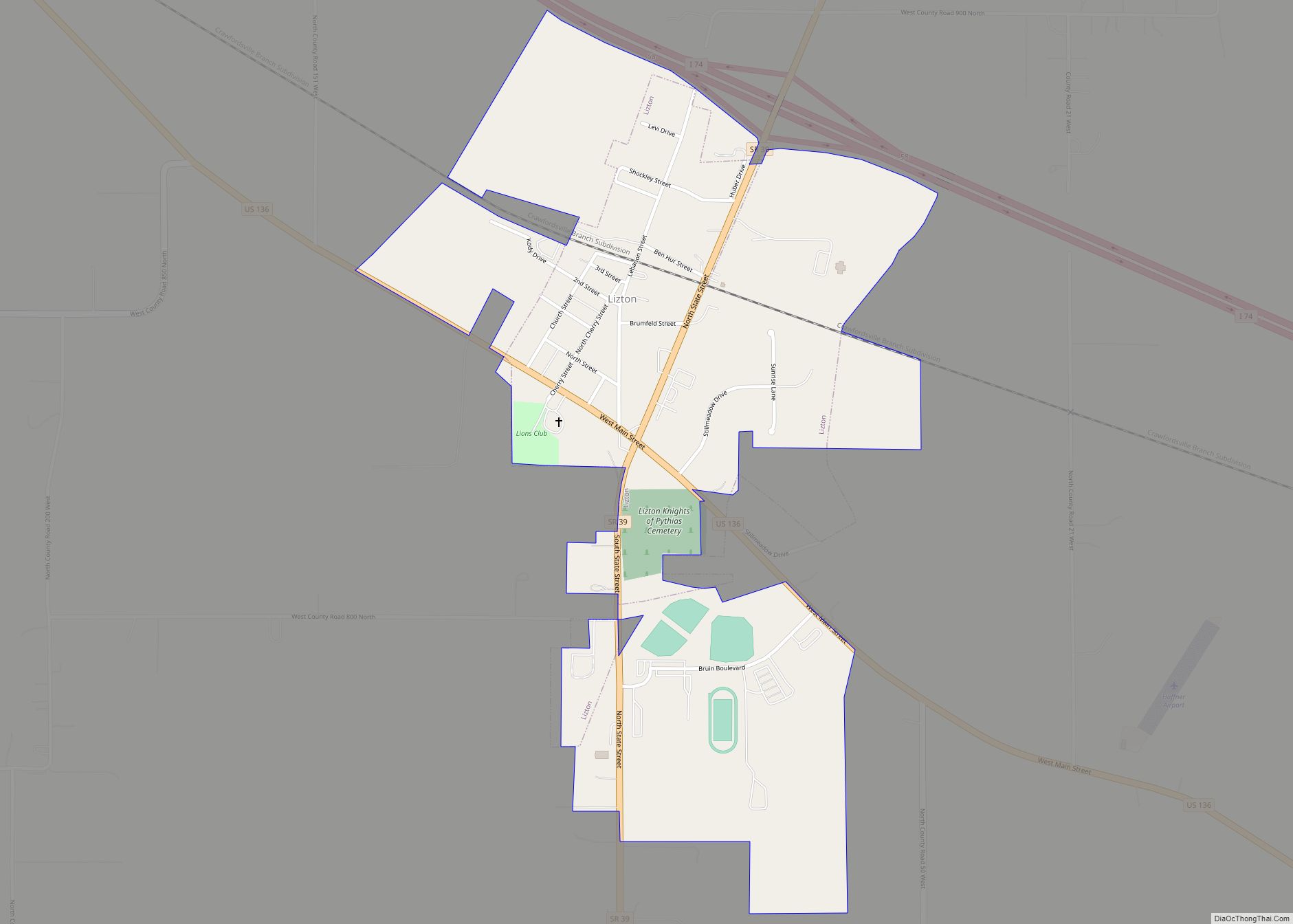
Online Interactive Map
Click on ![]() to view map in "full screen" mode.
to view map in "full screen" mode.
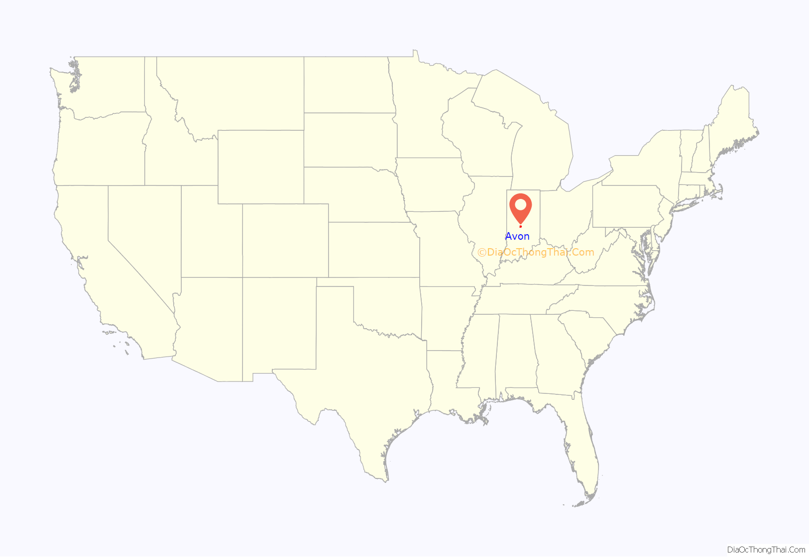
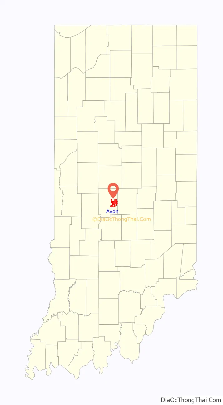
Avon location map. Where is Avon town?
History
The first settlement at Avon was made around 1830. The first post office at Avon opened as “Smootsdell”, in 1868. It was renamed “Avon” in 1870, and remained in operation until it was discontinued in 1902. The present name is after River Avon in England.
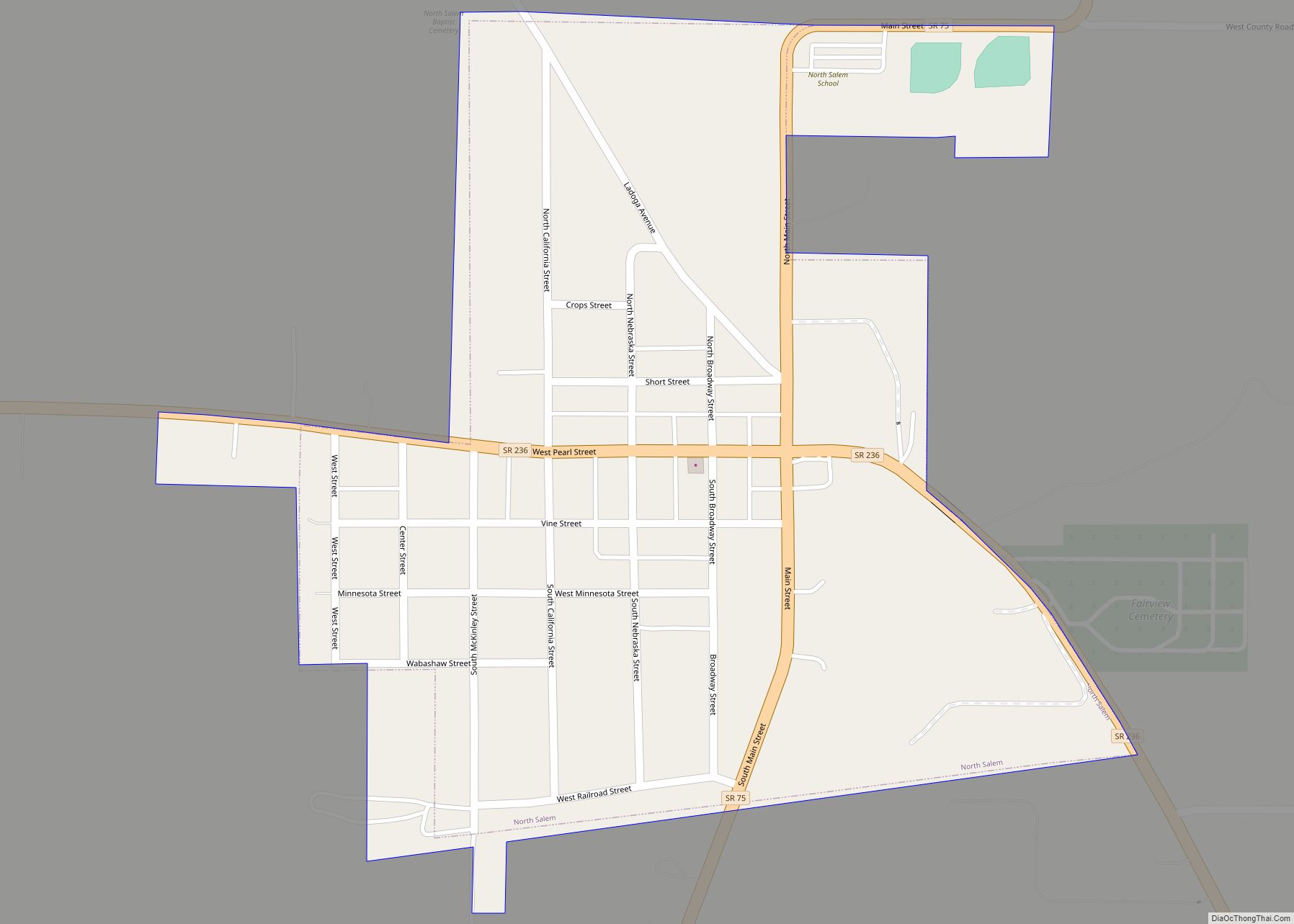
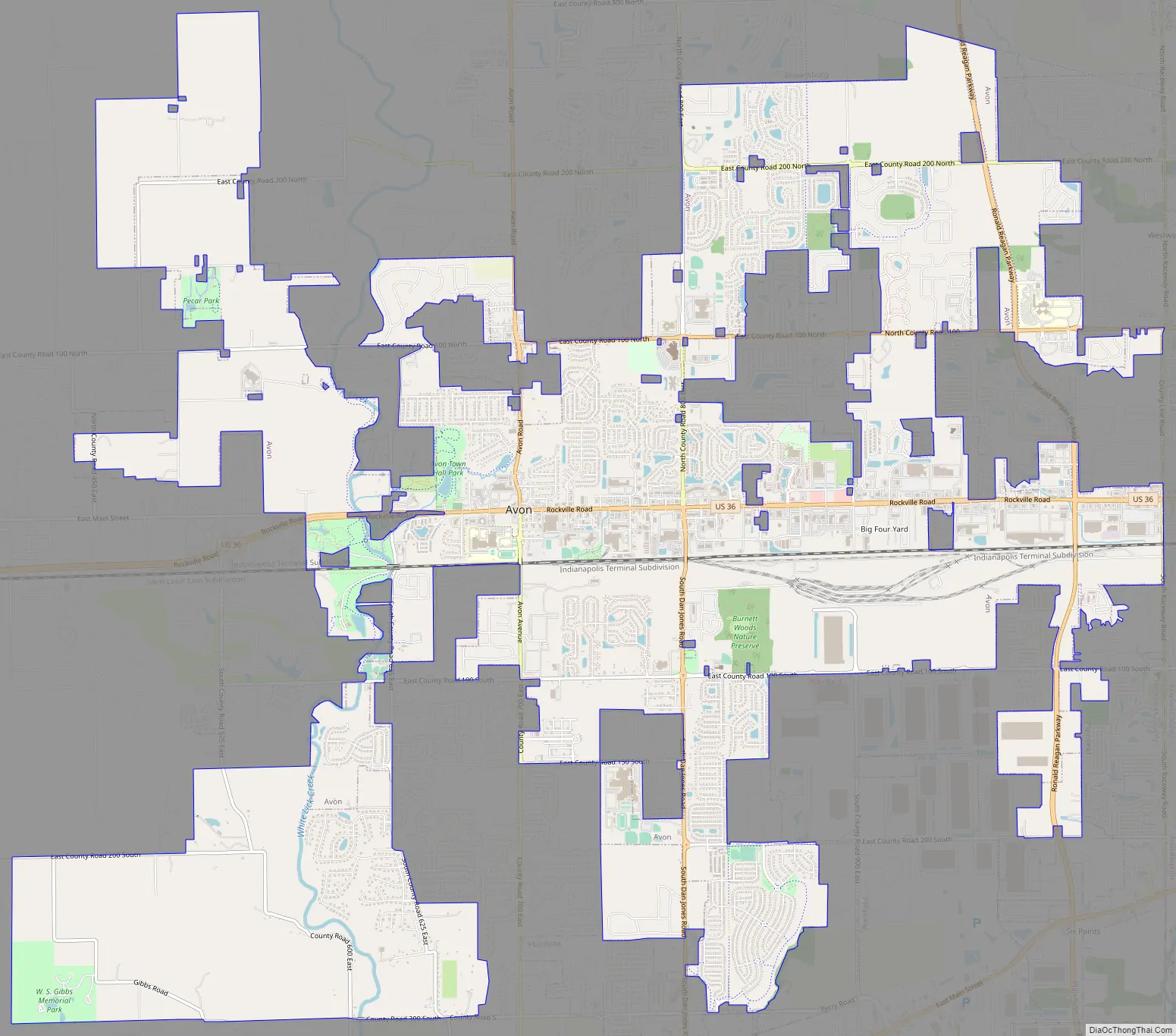
Avon Road Map
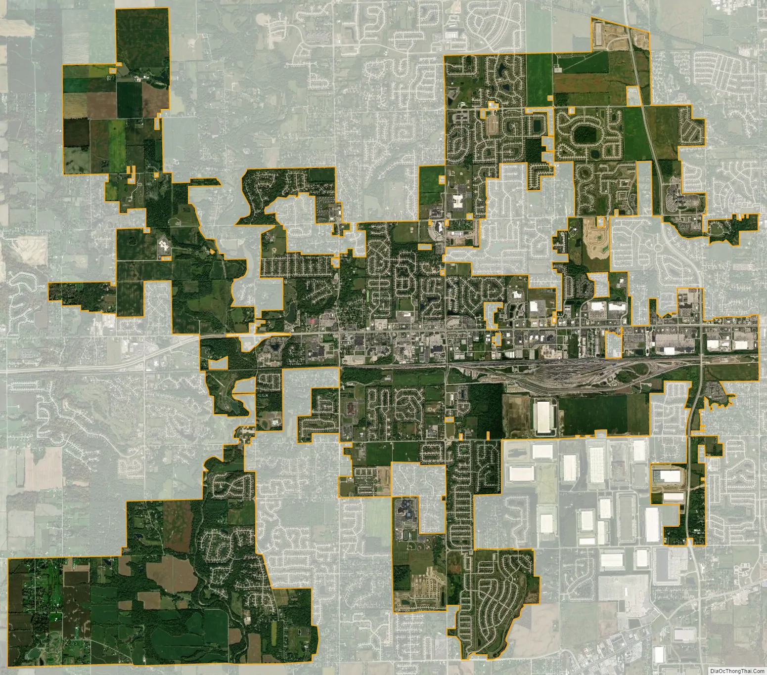
Avon city Satellite Map
Geography
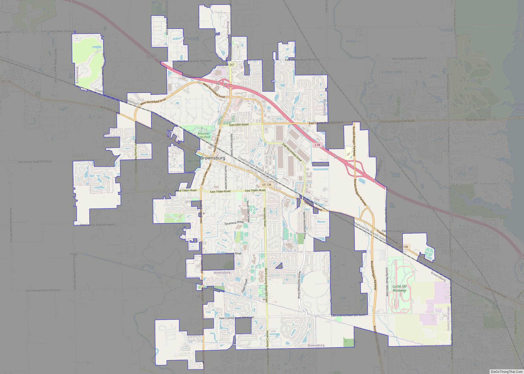
Avon is located in eastern Hendricks County at 39°45′47″N 86°23′16″W / 39.76306°N 86.38778°W / 39.76306; -86.38778 (39.763160, −86.387900). It is bordered to the north by Brownsburg, to the west by Danville, the Hendricks County seat, to the south by Plainfield, and to the east by the city of Indianapolis in Marion County.
U.S. Route 36 is the main east–west road through the town, leading east 13 miles (21 km) to downtown Indianapolis and west 7 miles (11 km) to the center of Danville. Indiana State Road 267 formerly crossed US-36 in the center of Avon, leading north 5 miles (8 km) to Brownsburg and south 4 miles (6 km) to Plainfield, but that stretch of 267 was decommissioned in 2013, and the section through Avon is now officially called Avon Avenue.
According to the 2010 census, Avon has a total area of 14.34 square miles (37.14 km), of which 14.24 square miles (36.88 km) (or 99.3%) is land and 0.1 square miles (0.26 km) (or 0.7%) is water. Avon is 4 miles (6.4 km) north to south.
See also
Map of Indiana State and its subdivision:- Adams
- Allen
- Bartholomew
- Benton
- Blackford
- Boone
- Brown
- Carroll
- Cass
- Clark
- Clay
- Clinton
- Crawford
- Daviess
- De Kalb
- Dearborn
- Decatur
- Delaware
- Dubois
- Elkhart
- Fayette
- Floyd
- Fountain
- Franklin
- Fulton
- Gibson
- Grant
- Greene
- Hamilton
- Hancock
- Harrison
- Hendricks
- Henry
- Howard
- Huntington
- Jackson
- Jasper
- Jay
- Jefferson
- Jennings
- Johnson
- Knox
- Kosciusko
- LaGrange
- Lake
- Lake Michigan
- LaPorte
- Lawrence
- Madison
- Marion
- Marshall
- Martin
- Miami
- Monroe
- Montgomery
- Morgan
- Newton
- Noble
- Ohio
- Orange
- Owen
- Parke
- Perry
- Pike
- Porter
- Posey
- Pulaski
- Putnam
- Randolph
- Ripley
- Rush
- Saint Joseph
- Scott
- Shelby
- Spencer
- Starke
- Steuben
- Sullivan
- Switzerland
- Tippecanoe
- Tipton
- Union
- Vanderburgh
- Vermillion
- Vigo
- Wabash
- Warren
- Warrick
- Washington
- Wayne
- Wells
- White
- Whitley
- Alabama
- Alaska
- Arizona
- Arkansas
- California
- Colorado
- Connecticut
- Delaware
- District of Columbia
- Florida
- Georgia
- Hawaii
- Idaho
- Illinois
- Indiana
- Iowa
- Kansas
- Kentucky
- Louisiana
- Maine
- Maryland
- Massachusetts
- Michigan
- Minnesota
- Mississippi
- Missouri
- Montana
- Nebraska
- Nevada
- New Hampshire
- New Jersey
- New Mexico
- New York
- North Carolina
- North Dakota
- Ohio
- Oklahoma
- Oregon
- Pennsylvania
- Rhode Island
- South Carolina
- South Dakota
- Tennessee
- Texas
- Utah
- Vermont
- Virginia
- Washington
- West Virginia
- Wisconsin
- Wyoming