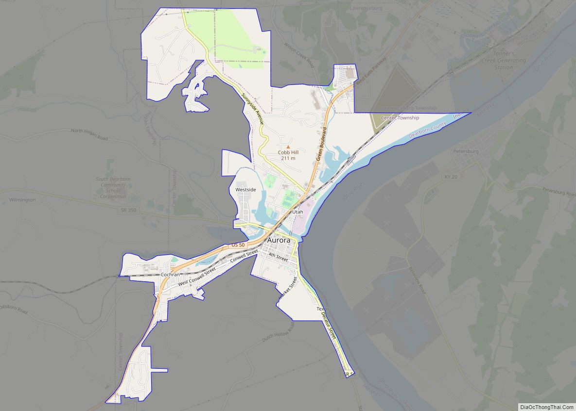
Aurora is a city in Center Township, Dearborn County, Indiana, United States. The population was 3,750 at the 2010 census.
| Name: | Aurora city |
|---|---|
| LSAD Code: | 25 |
| LSAD Description: | city (suffix) |
| State: | Indiana |
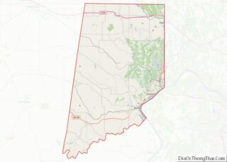
| County: | Dearborn County |
| Incorporated: | 1848 |
| Elevation: | 486 ft (148 m) |
| Total Area: | 3.54 sq mi (9.16 km²) |
| Land Area: | 3.29 sq mi (8.53 km²) |
| Water Area: | 0.24 sq mi (0.63 km²) |
| Total Population: | 3,479 |
| Population Density: | 1,056.80/sq mi (408.05/km²) |
| ZIP code: | 47001 |
| Area code: | 812 |
| FIPS code: | 1802782 |
| Website: | www.aurora.in.us |
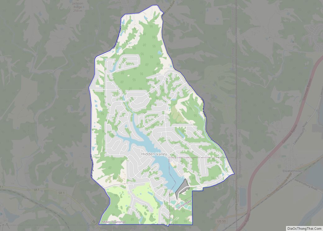
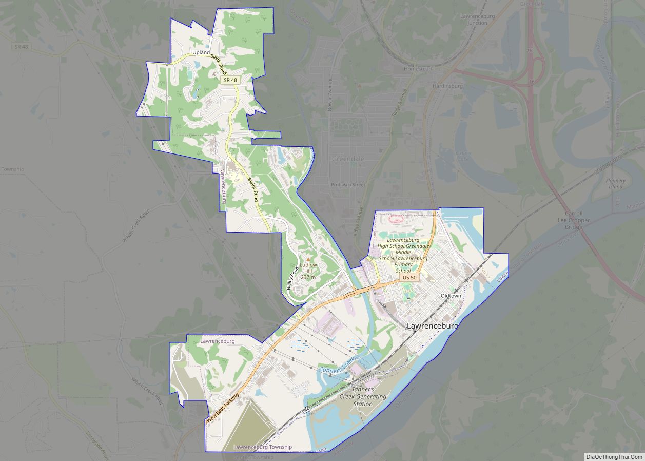
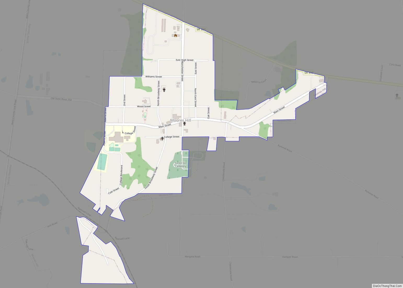
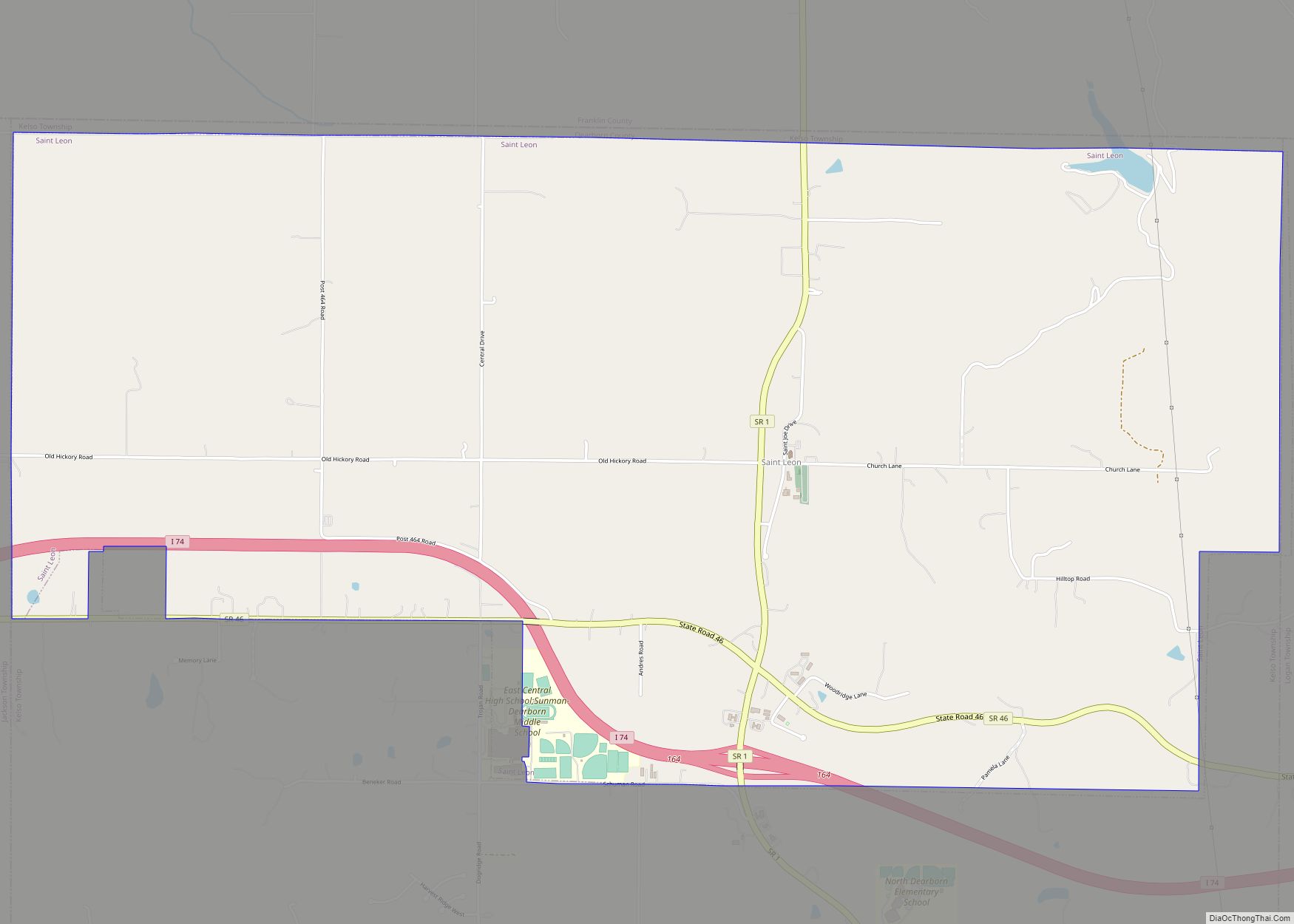
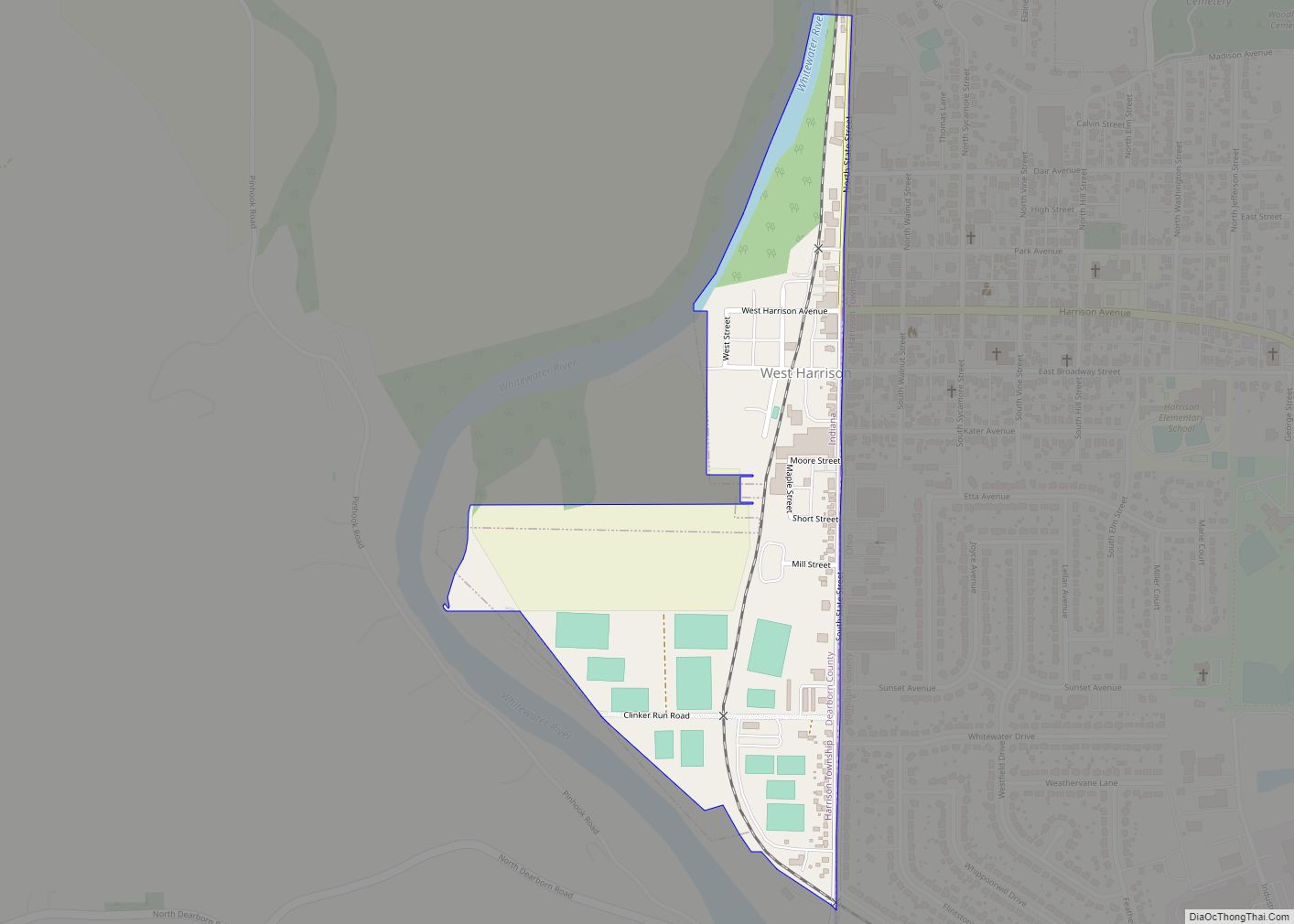
Online Interactive Map
Click on ![]() to view map in "full screen" mode.
to view map in "full screen" mode.
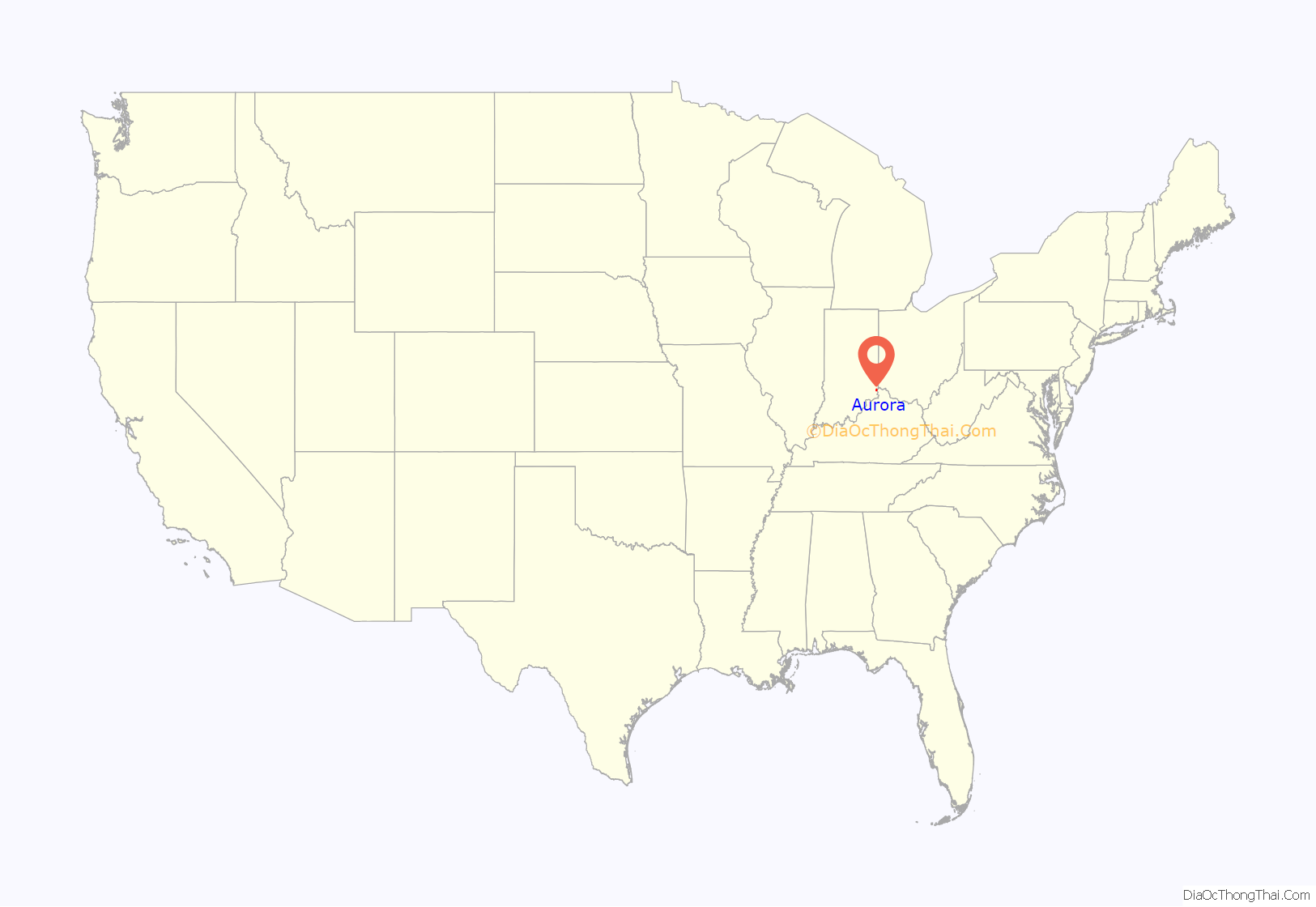
Aurora location map. Where is Aurora city?

History
Aurora was platted in 1819. It was named for Aurora, the goddess of dawn in Roman mythology. Aurora was incorporated in 1848.
Aurora is known for its historic downtown area and the ornate Hillforest mansion built for Thomas Gaff who earned his fortune shipping goods on the Ohio River by steamboat. The mansion was designed by architect Isaiah Rogers and was completed in 1855 in the Italian Renaissance style. The design is symmetrical. Details include deep overhangs, arched windows and balconies and porches. Hillforest was declared a National Historic Landmark in 1992.
In addition to Hillforest, the Aurora City Hall, Aurora Methodist Episcopal Church, Aurora Public Library, Downtown Aurora Historic District, First Evangelical United Church of Christ, First Presbyterian Church, George Street Bridge, Lewis Hurlbert, Sr. House, Leive, Parks and Stapp Opera House, Levi Stevens House, and George Sutton Medical Office are listed on the National Register of Historic Places.
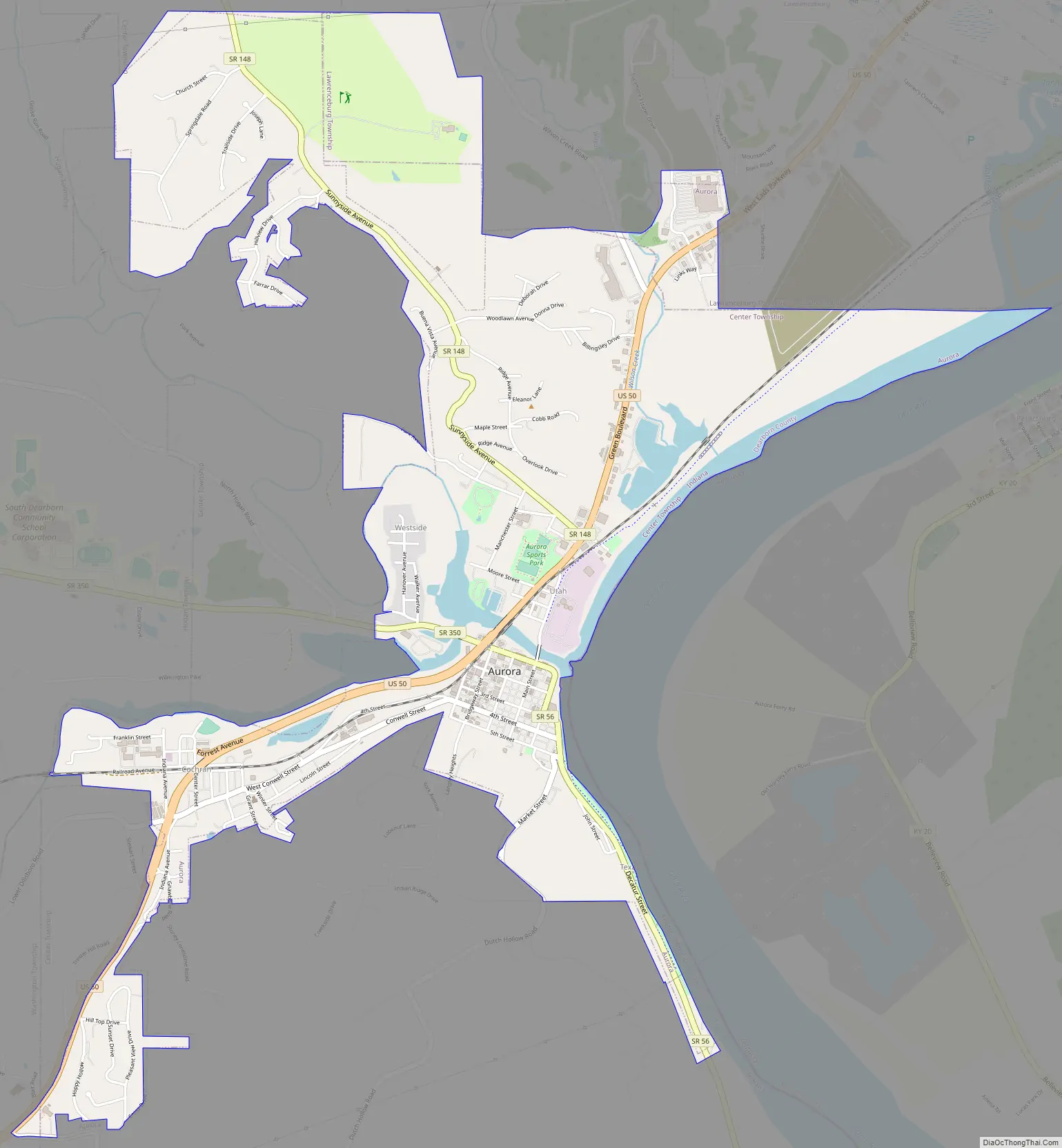
Aurora Road Map
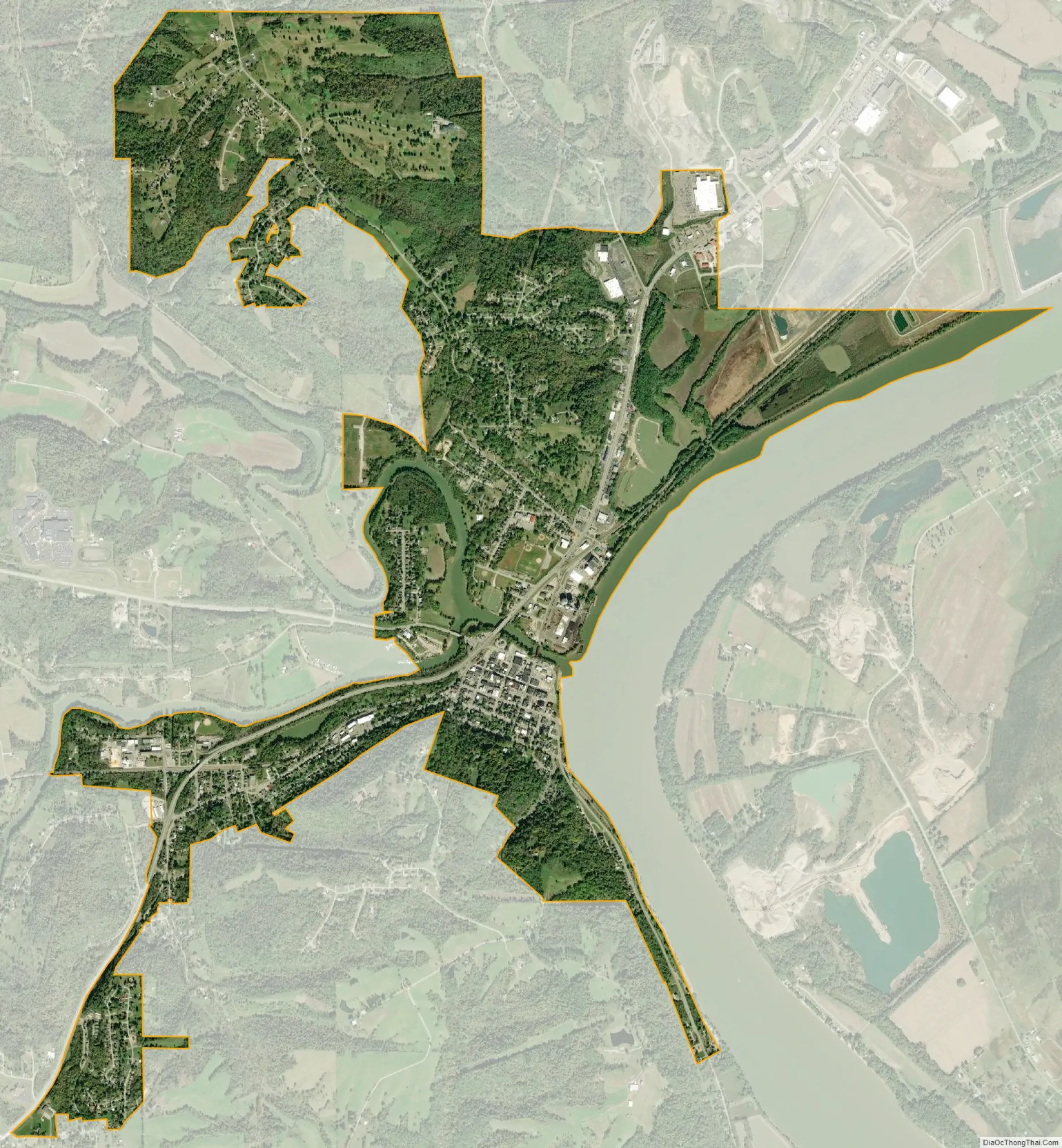
Aurora city Satellite Map
Geography
Aurora is located at 39°3′31″N 84°54′23″W / 39.05861°N 84.90639°W / 39.05861; -84.90639 (39.058551, -84.906351).
According to the 2010 census, Aurora has a total area of 3.087 square miles (8.00 km), of which 2.76 square miles (7.15 km) (or 89.41%) is land and 0.327 square miles (0.85 km) (or 10.59%) is water.
See also
Map of Indiana State and its subdivision:- Adams
- Allen
- Bartholomew
- Benton
- Blackford
- Boone
- Brown
- Carroll
- Cass
- Clark
- Clay
- Clinton
- Crawford
- Daviess
- De Kalb
- Dearborn
- Decatur
- Delaware
- Dubois
- Elkhart
- Fayette
- Floyd
- Fountain
- Franklin
- Fulton
- Gibson
- Grant
- Greene
- Hamilton
- Hancock
- Harrison
- Hendricks
- Henry
- Howard
- Huntington
- Jackson
- Jasper
- Jay
- Jefferson
- Jennings
- Johnson
- Knox
- Kosciusko
- LaGrange
- Lake
- Lake Michigan
- LaPorte
- Lawrence
- Madison
- Marion
- Marshall
- Martin
- Miami
- Monroe
- Montgomery
- Morgan
- Newton
- Noble
- Ohio
- Orange
- Owen
- Parke
- Perry
- Pike
- Porter
- Posey
- Pulaski
- Putnam
- Randolph
- Ripley
- Rush
- Saint Joseph
- Scott
- Shelby
- Spencer
- Starke
- Steuben
- Sullivan
- Switzerland
- Tippecanoe
- Tipton
- Union
- Vanderburgh
- Vermillion
- Vigo
- Wabash
- Warren
- Warrick
- Washington
- Wayne
- Wells
- White
- Whitley
- Alabama
- Alaska
- Arizona
- Arkansas
- California
- Colorado
- Connecticut
- Delaware
- District of Columbia
- Florida
- Georgia
- Hawaii
- Idaho
- Illinois
- Indiana
- Iowa
- Kansas
- Kentucky
- Louisiana
- Maine
- Maryland
- Massachusetts
- Michigan
- Minnesota
- Mississippi
- Missouri
- Montana
- Nebraska
- Nevada
- New Hampshire
- New Jersey
- New Mexico
- New York
- North Carolina
- North Dakota
- Ohio
- Oklahoma
- Oregon
- Pennsylvania
- Rhode Island
- South Carolina
- South Dakota
- Tennessee
- Texas
- Utah
- Vermont
- Virginia
- Washington
- West Virginia
- Wisconsin
- Wyoming