Austin is a city in Jennings Township, Scott County, in the U.S. state of Indiana. The population was 4,272 at the 2000 census, at which time it was a town; Austin became a city on January 1, 2008. The population was 4,295 at the 2010 census.
| Name: | Austin city |
|---|---|
| LSAD Code: | 25 |
| LSAD Description: | city (suffix) |
| State: | Indiana |
| County: | Scott County |
| Elevation: | 558 ft (170 m) |
| Total Area: | 2.66 sq mi (6.90 km²) |
| Land Area: | 2.66 sq mi (6.90 km²) |
| Water Area: | 0.00 sq mi (0.00 km²) |
| Total Population: | 4,064 |
| Population Density: | 1,525.53/sq mi (589.09/km²) |
| ZIP code: | 47102 |
| Area code: | 812 |
| FIPS code: | 1802800 |
| Website: | cityofaustin.in.gov |
Online Interactive Map
Click on ![]() to view map in "full screen" mode.
to view map in "full screen" mode.
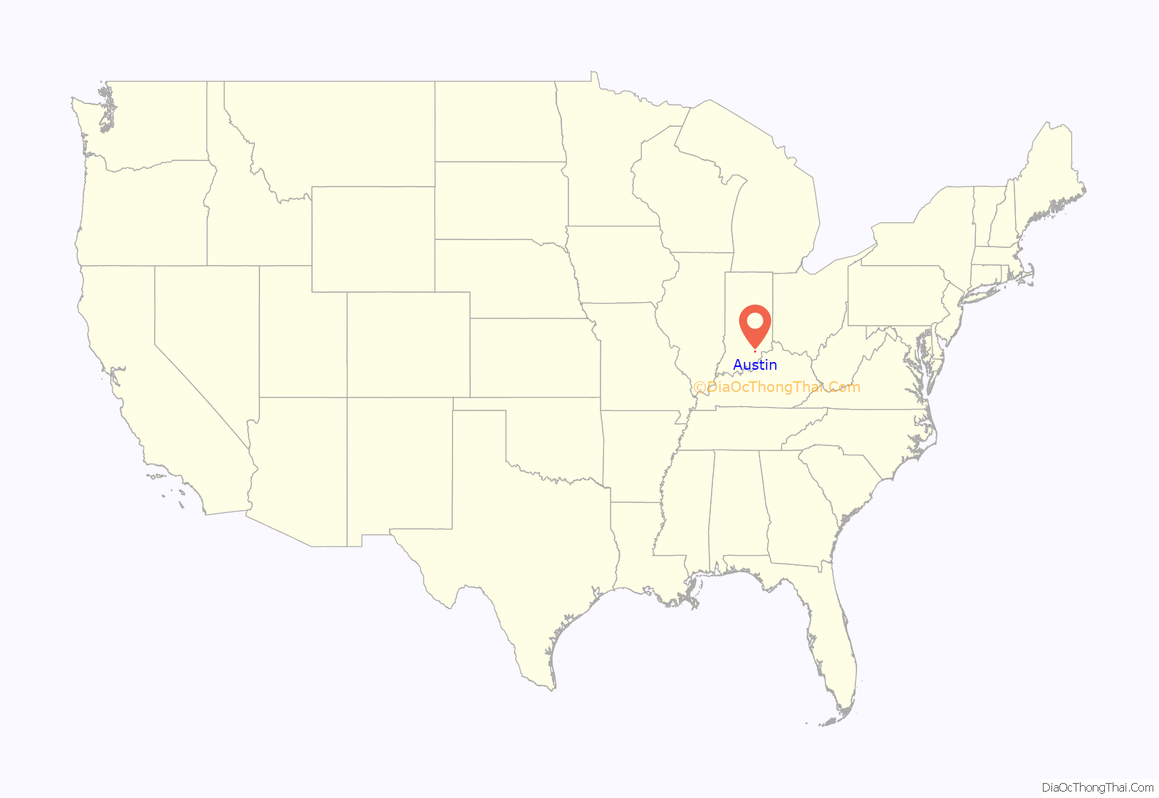
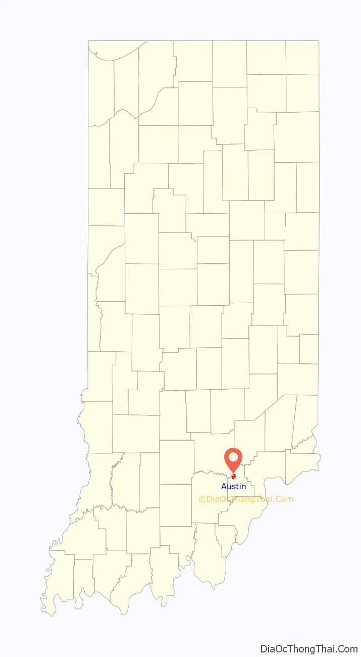
Austin location map. Where is Austin city?
History
Austin was platted in 1853, and named after Austin, Texas. A post office has been in operation at Austin since 1854.
HIV Crisis
The federal Centers for Disease Control and Prevention confirms that Austin “contains the largest drug-fueled H.I.V. outbreak to hit rural America in recent history.” Its 5 percent infection rate “is comparable to some African nations.” According to New York Times columnist Thomas Friedman, who visited with Austin’s only doctor, Will Cooke, Austin “doesn’t just sit at the intersection between Indianapolis and Louisville but at the intersection of hopelessness and economic ruin.”
In 2015, press reports indicated the city was the center of an outbreak of HIV caused by the use of Opana as an injectable recreational drug. The outbreak required emergency action by state officials. When the outbreak was first detected there were 30 HIV cases in a town that had, up until this point, only had 3 cases over several decades. After 29 days, by the time Governor Mike Pence determined a course of action, the number of HIV cases had skyrocketed to 79. In response to the crisis Scott County established “one-stop shop,” where people could also get drug treatment referrals, free HIV testing, syringe exchanges, and other services.
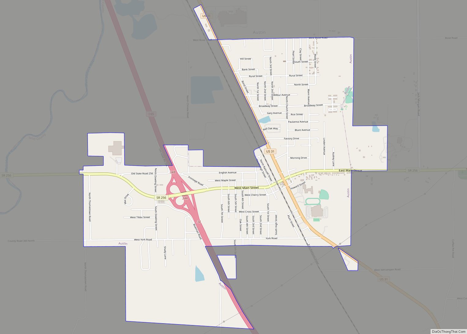
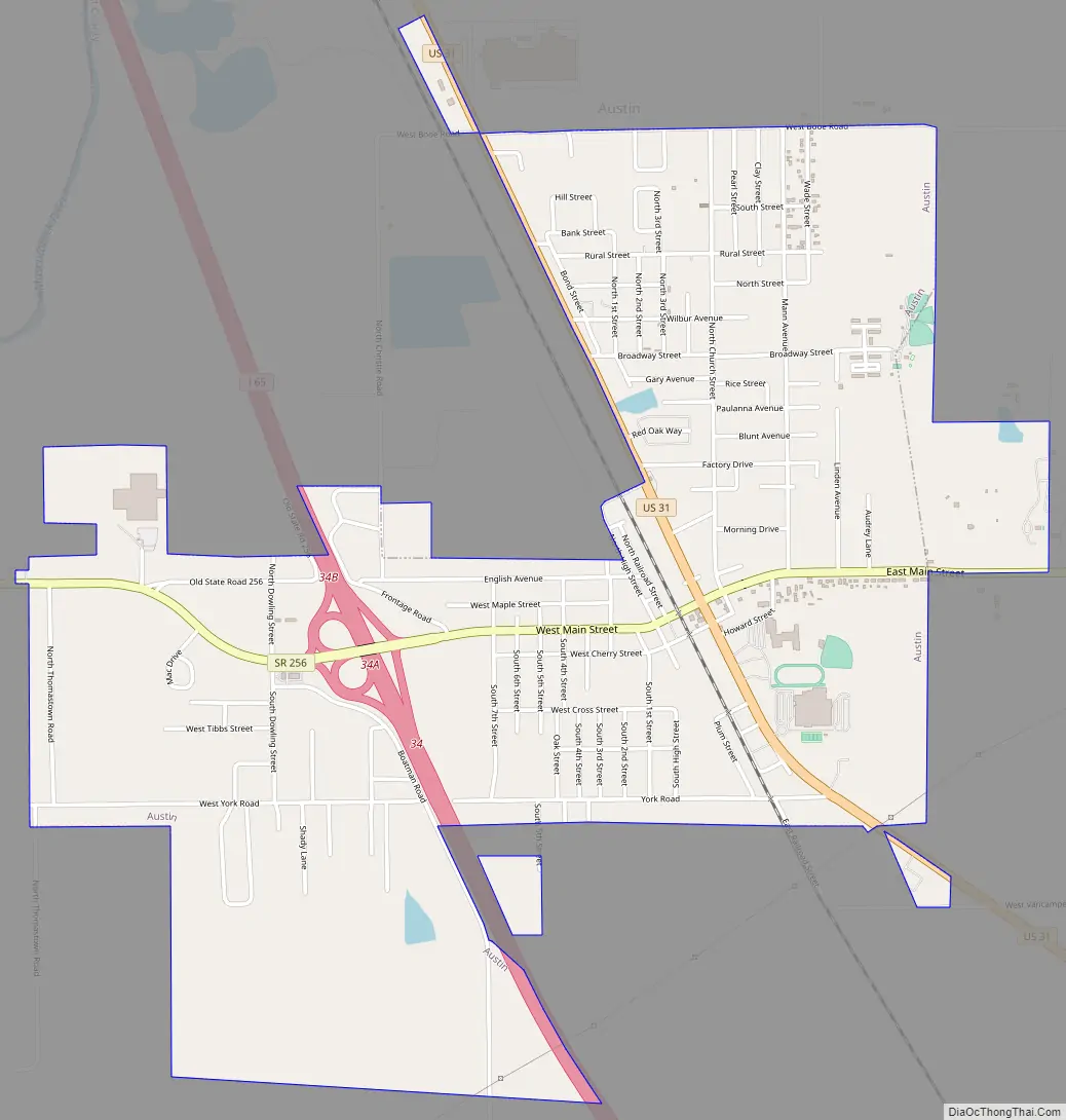
Austin Road Map
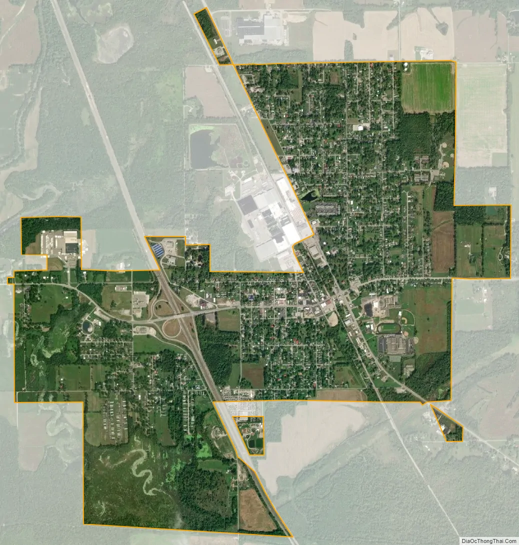
Austin city Satellite Map
Geography
Austin is located at 38°44′32.50″N 85°48′16.50″W / 38.7423611°N 85.8045833°W / 38.7423611; -85.8045833 (38.742361°,-85.804583°).
According to the 2010 census, Austin has a total area of 2.58 square miles (6.68 km), all land.
Climate
The climate in this area is characterized by hot, humid summers and generally mild to cool winters. According to the Köppen Climate Classification system, Austin has a humid subtropical climate, abbreviated “Cfa” on climate maps.
See also
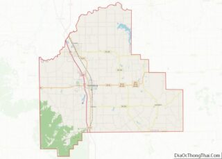
Map of Indiana State and its subdivision:- Adams
- Allen
- Bartholomew
- Benton
- Blackford
- Boone
- Brown
- Carroll
- Cass
- Clark
- Clay
- Clinton
- Crawford
- Daviess
- De Kalb
- Dearborn
- Decatur
- Delaware
- Dubois
- Elkhart
- Fayette
- Floyd
- Fountain
- Franklin
- Fulton
- Gibson
- Grant
- Greene
- Hamilton
- Hancock
- Harrison
- Hendricks
- Henry
- Howard
- Huntington
- Jackson
- Jasper
- Jay
- Jefferson
- Jennings
- Johnson
- Knox
- Kosciusko
- LaGrange
- Lake
- Lake Michigan
- LaPorte
- Lawrence
- Madison
- Marion
- Marshall
- Martin
- Miami
- Monroe
- Montgomery
- Morgan
- Newton
- Noble
- Ohio
- Orange
- Owen
- Parke
- Perry
- Pike
- Porter
- Posey
- Pulaski
- Putnam
- Randolph
- Ripley
- Rush
- Saint Joseph
- Scott
- Shelby
- Spencer
- Starke
- Steuben
- Sullivan
- Switzerland
- Tippecanoe
- Tipton
- Union
- Vanderburgh
- Vermillion
- Vigo
- Wabash
- Warren
- Warrick
- Washington
- Wayne
- Wells
- White
- Whitley
- Alabama
- Alaska
- Arizona
- Arkansas
- California
- Colorado
- Connecticut
- Delaware
- District of Columbia
- Florida
- Georgia
- Hawaii
- Idaho
- Illinois
- Indiana
- Iowa
- Kansas
- Kentucky
- Louisiana
- Maine
- Maryland
- Massachusetts
- Michigan
- Minnesota
- Mississippi
- Missouri
- Montana
- Nebraska
- Nevada
- New Hampshire
- New Jersey
- New Mexico
- New York
- North Carolina
- North Dakota
- Ohio
- Oklahoma
- Oregon
- Pennsylvania
- Rhode Island
- South Carolina
- South Dakota
- Tennessee
- Texas
- Utah
- Vermont
- Virginia
- Washington
- West Virginia
- Wisconsin
- Wyoming