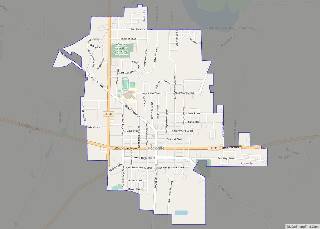
Rockville is a town in Adams Township, Parke County, in the U.S. state of Indiana. The population was 2,607 at the 2010 census. The town is the county seat of Parke County. It is known as “The Covered Bridge Capital of the World”. Rockville town overview: Name: Rockville town LSAD Code: 43 LSAD Description: town ... Read more
Indiana Cities and Places
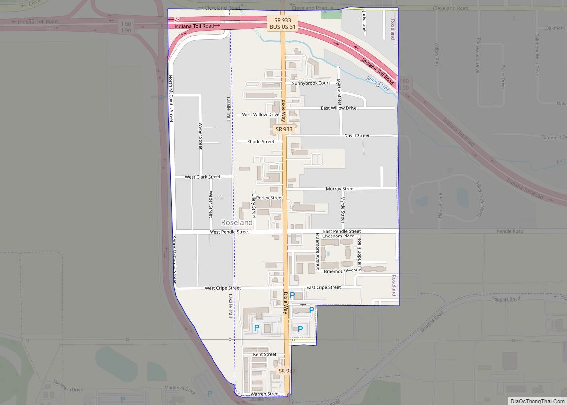
Roseland is a town in Clay Township, St. Joseph County, in the U.S. state of Indiana. The population was 630 at the 2010 Census. It is part of the South Bend–Mishawaka, IN-MI, Metropolitan Statistical Area. Roseland is known as “The Gateway Town”, on account of its location at the Notre Dame/South Bend exit of the ... Read more
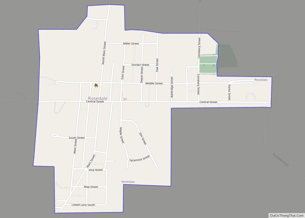
Rosedale is a town in Florida Township, Parke County, in the U.S. state of Indiana. The population was 725 at the 2010 census. Rosedale town overview: Name: Rosedale town LSAD Code: 43 LSAD Description: town (suffix) State: Indiana County: Parke County Elevation: 535 ft (163 m) Total Area: 0.40 sq mi (1.02 km²) Land Area: 0.40 sq mi (1.02 km²) Water Area: 0.00 sq mi ... Read more
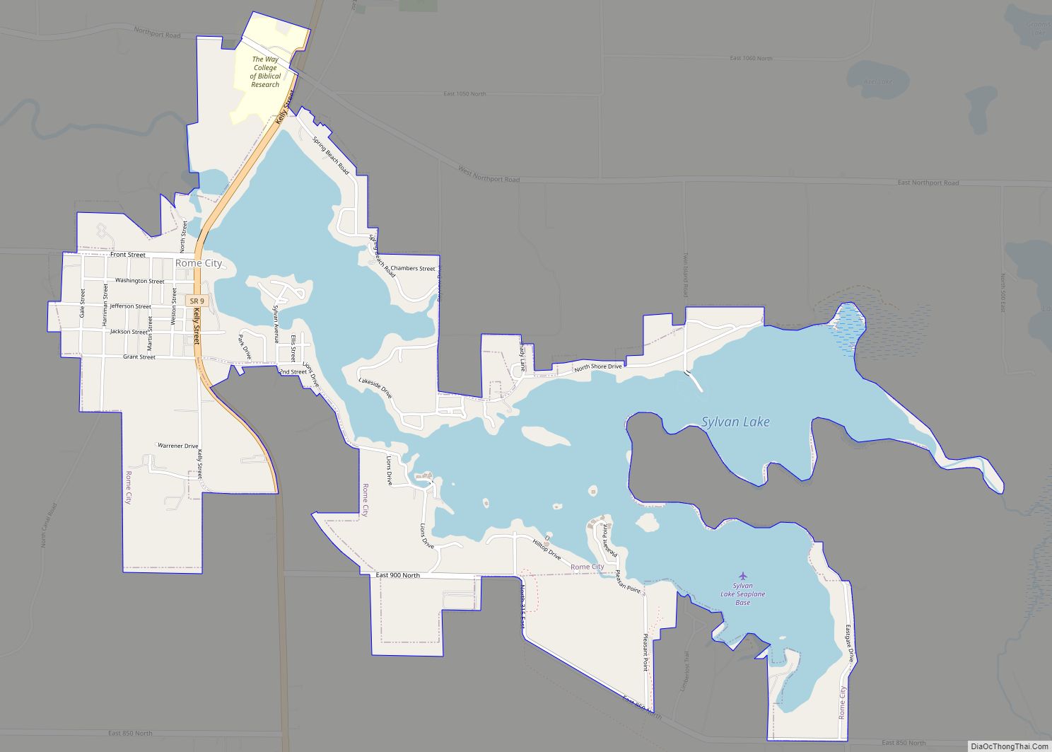
Rome City is a town in Orange Township, Noble County, in the U.S. state of Indiana. The population was 1,361 at the 2010 census. Rome City town overview: Name: Rome City town LSAD Code: 43 LSAD Description: town (suffix) State: Indiana County: Noble County Elevation: 935 ft (285 m) Total Area: 2.47 sq mi (6.40 km²) Land Area: 1.47 sq mi (3.81 km²) ... Read more
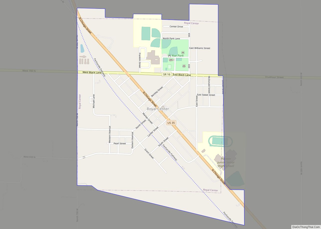
Royal Center is a town in Boone Township, Cass County, Indiana, United States. The population was 861 at the 2010 census. Royal Center town overview: Name: Royal Center town LSAD Code: 43 LSAD Description: town (suffix) State: Indiana County: Cass County Elevation: 735 ft (224 m) Total Area: 0.57 sq mi (1.48 km²) Land Area: 0.57 sq mi (1.48 km²) Water Area: 0.00 sq mi ... Read more
Rossville is a town in Ross Township, Clinton County, Indiana, United States. The population was 1,653 at the 2010 census. Rossville town overview: Name: Rossville town LSAD Code: 43 LSAD Description: town (suffix) State: Indiana County: Clinton County Founded: 1832 Incorporated: 1870 Elevation: 725 ft (221 m) Total Area: 0.46 sq mi (1.19 km²) Land Area: 0.46 sq mi (1.19 km²) Water Area: ... Read more
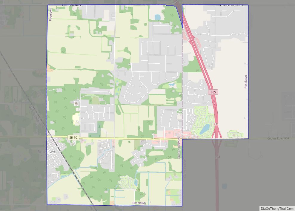
Roselawn is a census-designated place (CDP) in Newton and Jasper counties in the U.S. state of Indiana. The population was 4,131 at the 2010 census. Roselawn is known within northwestern Indiana for the two nudist resorts which operate in this town: the Ponderosa Sun Club and Sun Aura. Sun Aura resort was previously known as ... Read more
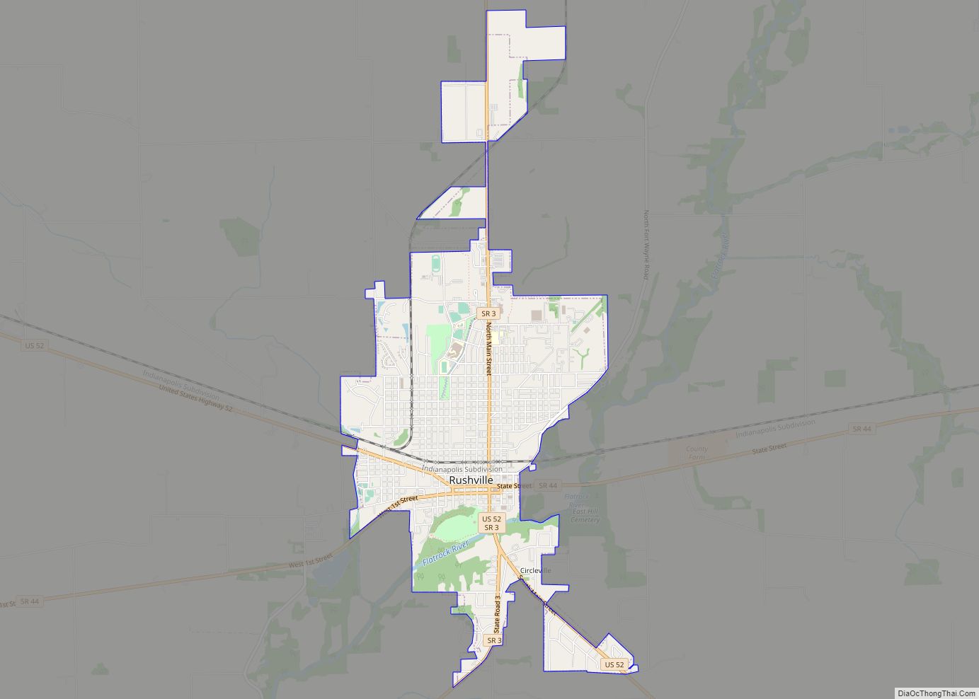
Rushville is a city in Rushville Township, Rush County, in the U.S. state of Indiana. The population was 6,341 at the 2010 census. The city is the county seat of Rush County. It, like the county, was named in honor of Dr. Benjamin Rush, who signed the Declaration of Independence. Rushville city overview: Name: Rushville ... Read more
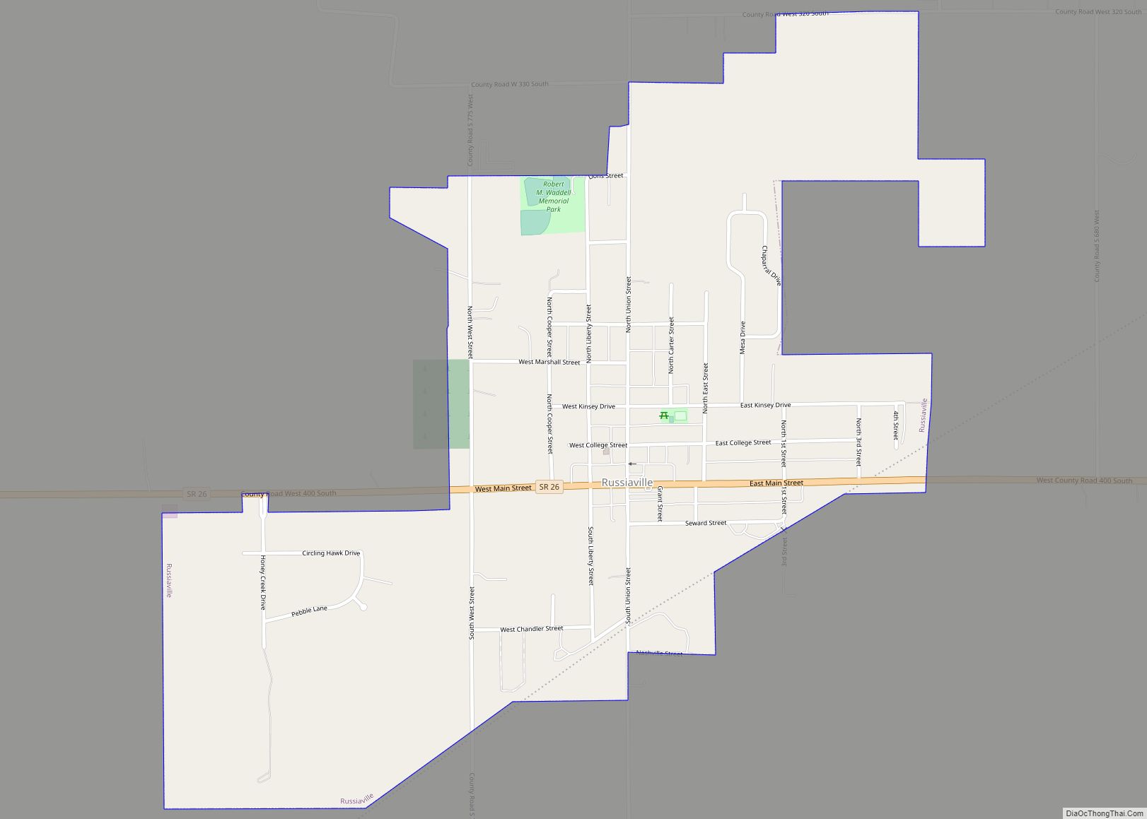
Russiaville (/ˈruːʃəvɪl/) is a town in Honey Creek Township, Howard County, Indiana, United States. The population was 1,094 at the 2010 census. It is part of the Kokomo Metropolitan Statistical Area. Russiaville was incorporated sometime between the 1860 and 1870 US Census. Russiaville town overview: Name: Russiaville town LSAD Code: 43 LSAD Description: town (suffix) ... Read more
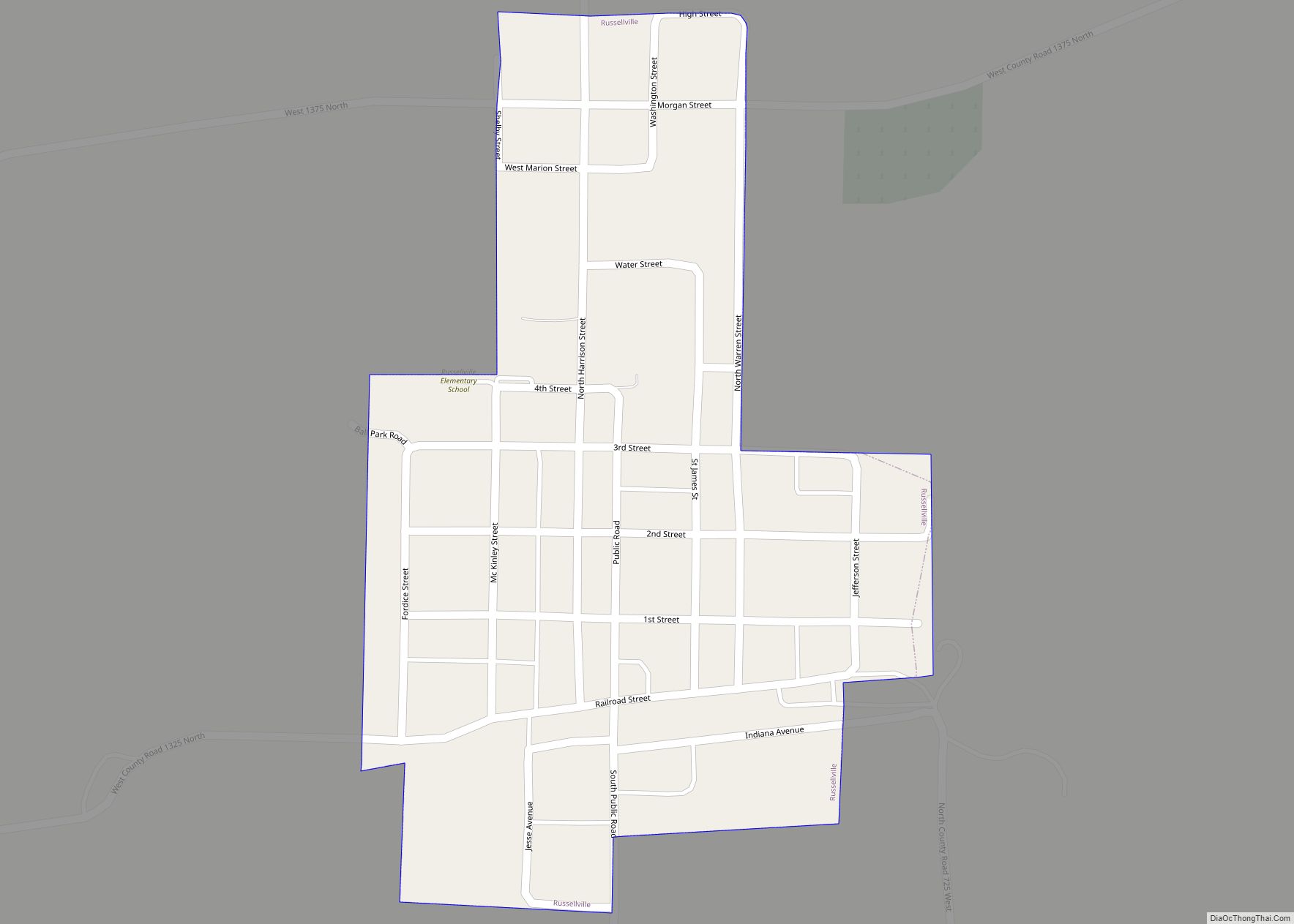
Russellville is a town in Russell Township, Putnam County, in the U.S. state of Indiana. The population was 358 at the 2010 census. Russellville town overview: Name: Russellville town LSAD Code: 43 LSAD Description: town (suffix) State: Indiana County: Putnam County Elevation: 820 ft (250 m) Total Area: 0.20 sq mi (0.52 km²) Land Area: 0.20 sq mi (0.52 km²) Water Area: 0.00 sq mi ... Read more
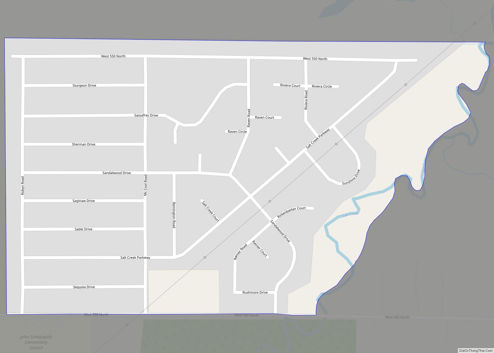
Salt Creek Commons is a census-designated place (CDP) in Union Township, Porter County, in the U.S. state of Indiana. The population was 2,117 at the 2010 census. Salt Creek Commons CDP overview: Name: Salt Creek Commons CDP LSAD Code: 57 LSAD Description: CDP (suffix) State: Indiana County: Porter County Elevation: 666 ft (203 m) Total Area: 0.37 sq mi ... Read more
Salem is a city in and the county seat of Washington Township, Washington County, in the U.S. state of Indiana. The population was 6,319 at the 2010 census. Salem city overview: Name: Salem city LSAD Code: 25 LSAD Description: city (suffix) State: Indiana County: Washington County Elevation: 748 ft (228 m) Total Area: 4.02 sq mi (10.40 km²) Land Area: ... Read more
