Rushville is a city in Rushville Township, Rush County, in the U.S. state of Indiana. The population was 6,341 at the 2010 census. The city is the county seat of Rush County. It, like the county, was named in honor of Dr. Benjamin Rush, who signed the Declaration of Independence.
| Name: | Rushville city |
|---|---|
| LSAD Code: | 25 |
| LSAD Description: | city (suffix) |
| State: | Indiana |
| County: | Rush County |
| Elevation: | 958 ft (292 m) |
| Total Area: | 3.31 sq mi (8.56 km²) |
| Land Area: | 3.31 sq mi (8.56 km²) |
| Water Area: | 0.00 sq mi (0.00 km²) 0% |
| Total Population: | 6,208 |
| Population Density: | 1,877.80/sq mi (725.04/km²) |
| ZIP code: | 46173 |
| Area code: | 765 |
| FIPS code: | 1866438 |
| GNISfeature ID: | 442410 |
| Website: | http://www.cityofrushville.in.gov/ |
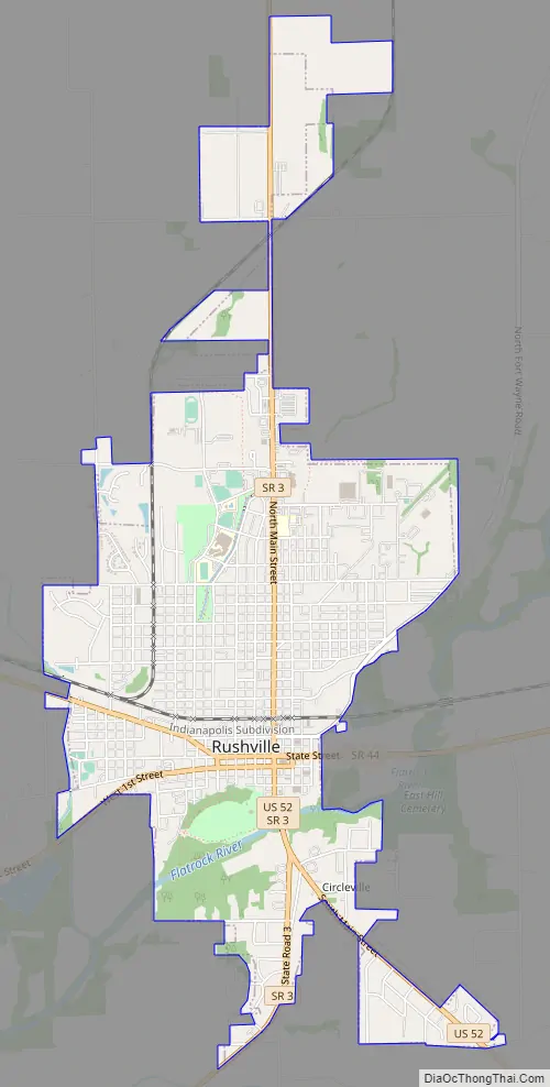
Online Interactive Map
Click on ![]() to view map in "full screen" mode.
to view map in "full screen" mode.
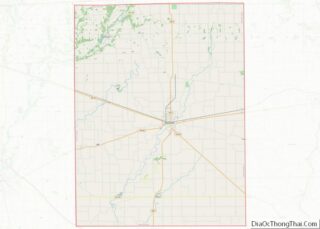
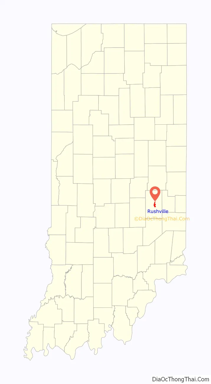
Rushville location map. Where is Rushville city?

History
Rush County was formed from the unorganized Delaware County April 1, 1822. On July 29 town lots were sold and the town started to form. A school had already been started in 1821 by Dr. W.B. Laughlin, who was a member of the Legislature when the county was formed, and is considered the founding father of the town. A jail was built, Charles Veeder, was the first postmaster in 1822, and a courthouse was built in 1823. The Dog Fennel Gazette was published in 1823. The railroad was built in 1850 and after that a bank, factories, mills, and grain elevators sprang up.
The Rushville post office has been in operation since 1822.
Rushville was the campaign headquarters for Wendell Willkie’s 1940 presidential campaign against Franklin D. Roosevelt. Willkie is buried in the city’s East Hill Cemetery.
The Durbin Hotel, John K. Gowdy House, Melodeon Hall, Rush County Courthouse, Rushville Commercial Historic District, St. Paul Methodist Episcopal Church, St. Prendergast Catholic church, Booker T. Washington School, and Wendell Lewis Willkie House are listed on the National Register of Historic Places.
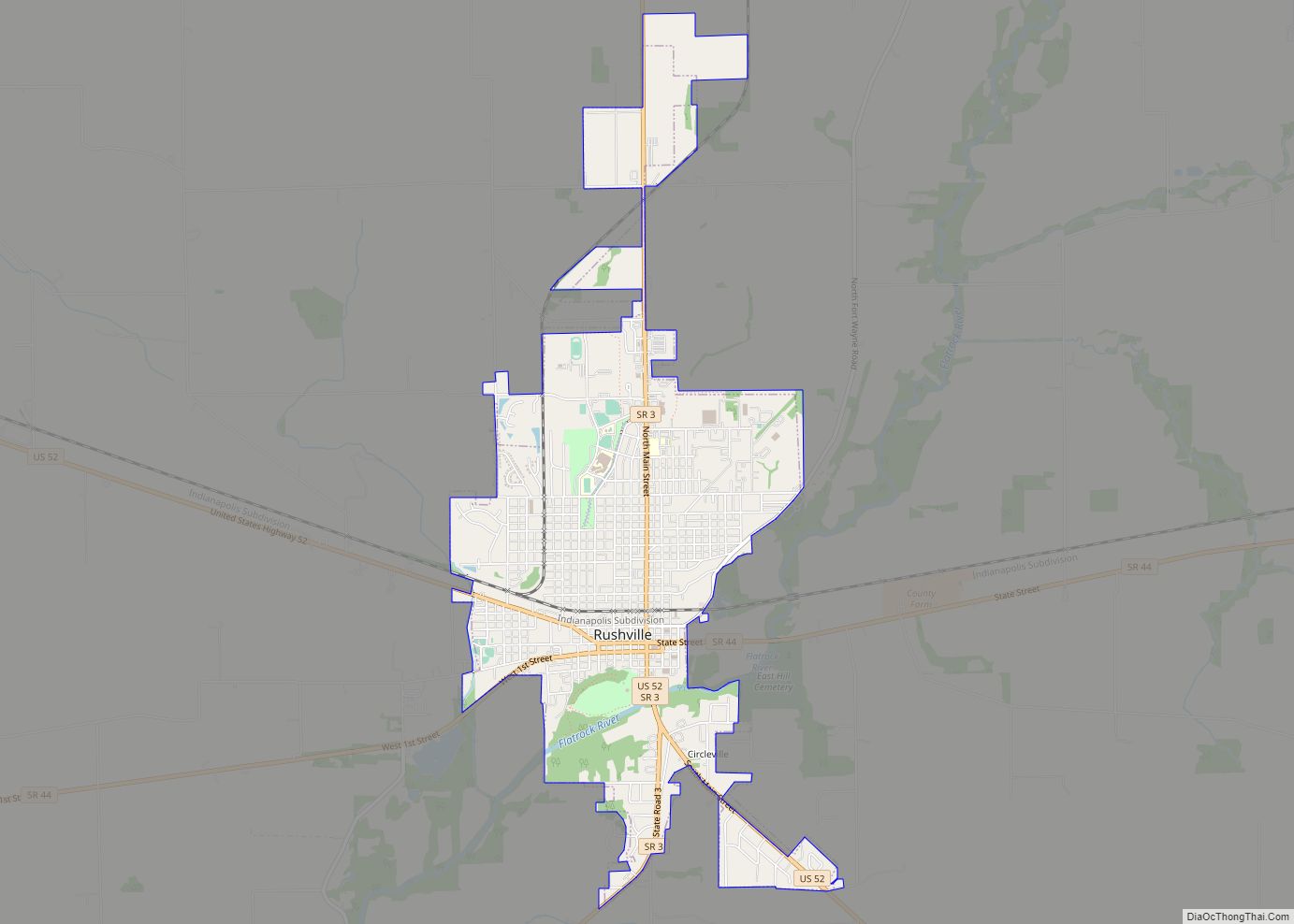
Rushville Road Map
Rushville city Satellite Map

Geography
Rushville is located at 39°36′52″N 85°26′55″W / 39.61444°N 85.44861°W / 39.61444; -85.44861 (39.614482, -85.448657), along the Flatrock River.
According to the 2010 census, Rushville has a total area of 3.09 square miles (8.00 km), all land.
See also
Map of Indiana State and its subdivision:- Adams
- Allen
- Bartholomew
- Benton
- Blackford
- Boone
- Brown
- Carroll
- Cass
- Clark
- Clay
- Clinton
- Crawford
- Daviess
- De Kalb
- Dearborn
- Decatur
- Delaware
- Dubois
- Elkhart
- Fayette
- Floyd
- Fountain
- Franklin
- Fulton
- Gibson
- Grant
- Greene
- Hamilton
- Hancock
- Harrison
- Hendricks
- Henry
- Howard
- Huntington
- Jackson
- Jasper
- Jay
- Jefferson
- Jennings
- Johnson
- Knox
- Kosciusko
- LaGrange
- Lake
- Lake Michigan
- LaPorte
- Lawrence
- Madison
- Marion
- Marshall
- Martin
- Miami
- Monroe
- Montgomery
- Morgan
- Newton
- Noble
- Ohio
- Orange
- Owen
- Parke
- Perry
- Pike
- Porter
- Posey
- Pulaski
- Putnam
- Randolph
- Ripley
- Rush
- Saint Joseph
- Scott
- Shelby
- Spencer
- Starke
- Steuben
- Sullivan
- Switzerland
- Tippecanoe
- Tipton
- Union
- Vanderburgh
- Vermillion
- Vigo
- Wabash
- Warren
- Warrick
- Washington
- Wayne
- Wells
- White
- Whitley
- Alabama
- Alaska
- Arizona
- Arkansas
- California
- Colorado
- Connecticut
- Delaware
- District of Columbia
- Florida
- Georgia
- Hawaii
- Idaho
- Illinois
- Indiana
- Iowa
- Kansas
- Kentucky
- Louisiana
- Maine
- Maryland
- Massachusetts
- Michigan
- Minnesota
- Mississippi
- Missouri
- Montana
- Nebraska
- Nevada
- New Hampshire
- New Jersey
- New Mexico
- New York
- North Carolina
- North Dakota
- Ohio
- Oklahoma
- Oregon
- Pennsylvania
- Rhode Island
- South Carolina
- South Dakota
- Tennessee
- Texas
- Utah
- Vermont
- Virginia
- Washington
- West Virginia
- Wisconsin
- Wyoming