Salem is a city in and the county seat of Washington Township, Washington County, in the U.S. state of Indiana. The population was 6,319 at the 2010 census.
| Name: | Salem city |
|---|---|
| LSAD Code: | 25 |
| LSAD Description: | city (suffix) |
| State: | Indiana |
| County: | Washington County |
| Elevation: | 748 ft (228 m) |
| Total Area: | 4.02 sq mi (10.40 km²) |
| Land Area: | 4.00 sq mi (10.36 km²) |
| Water Area: | 0.02 sq mi (0.04 km²) 0.50% |
| Total Population: | 6,371 |
| Population Density: | 1,592.75/sq mi (615.02/km²) |
| ZIP code: | 47167 |
| Area code: | 812 |
| FIPS code: | 1867464 |
| GNISfeature ID: | 442876 |
| Website: | http://cityofsalemin.com/ |
Online Interactive Map
Click on ![]() to view map in "full screen" mode.
to view map in "full screen" mode.
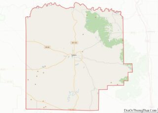
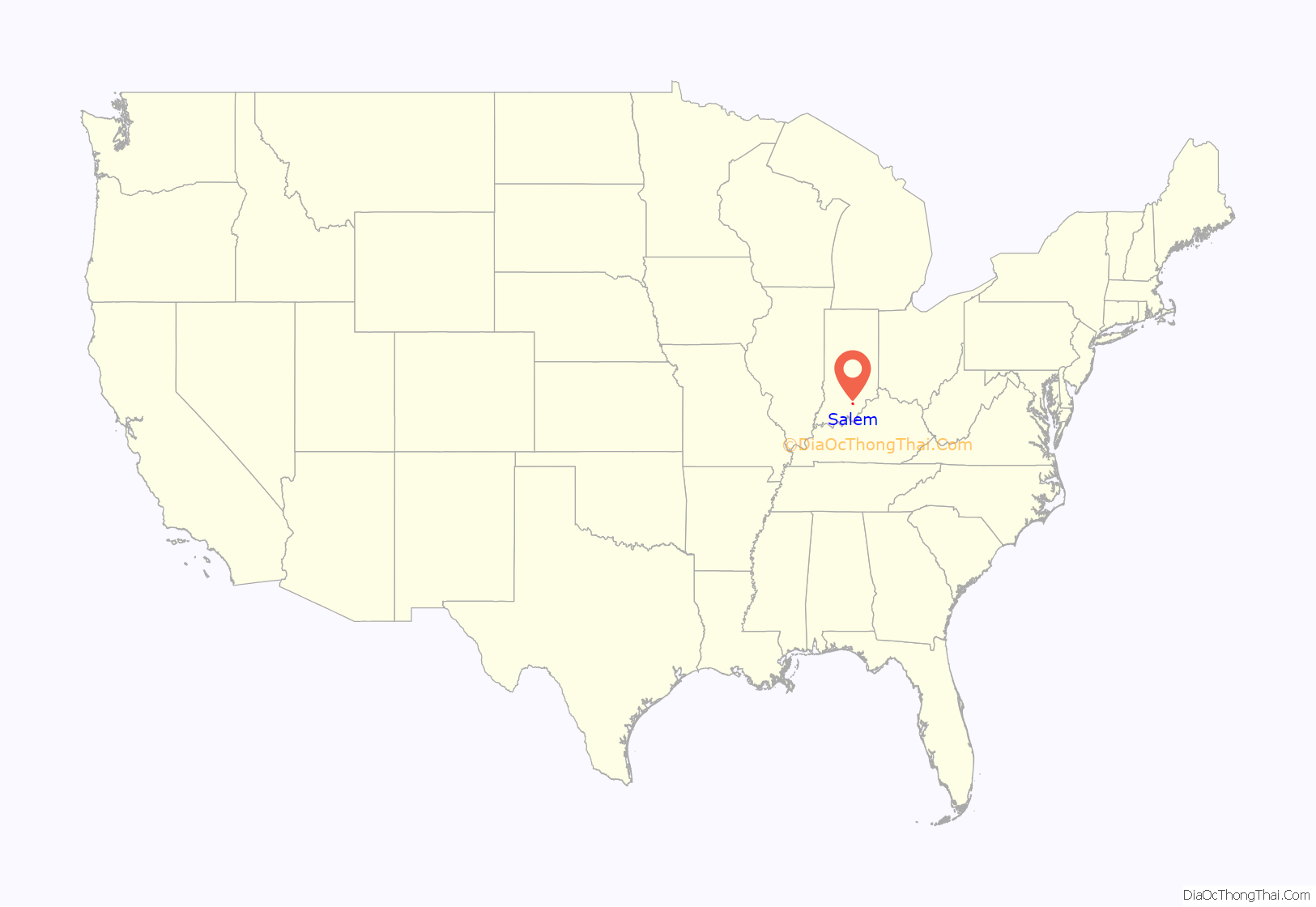
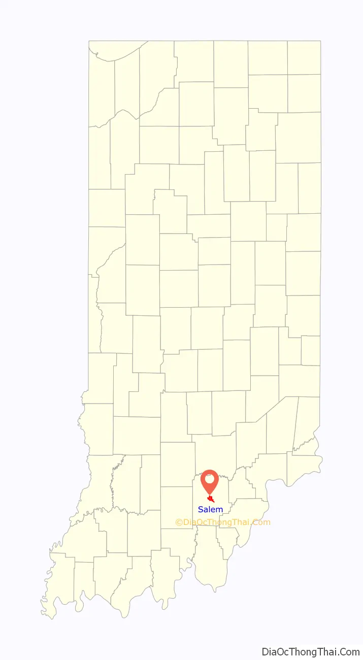
Salem location map. Where is Salem city?
History
Salem was laid out and platted in 1814. It was named for Salem, North Carolina, the hometown of one of the city founders.
The Salem post office has been in operation since 1816.
Morgan’s Raid
In June 1863, the Confederate cavalry under John Hunt Morgan had departed Tennessee on what would later become known as Morgan’s Raid. Traveling through Tennessee and into Kentucky, Morgan eventually crossed into Indiana; he reached Salem on July 10, 1863, coming north from Corydon. Upon entering Salem at approximately 9 a.m., Morgan immediately took possession of the town and placed guards over the stores and streets. The cavalrymen burned the large, brick railroad depot, along with all the train cars on the track and the railroad bridges on each side of the town. Morgan demanded taxes from the two flour mills that belonged to DePauw and Knight, and from the Allen Wollen Mill. Morgan’s men looted stores and took about $500 from the area before departing about 3 p.m.
Of the brief action at Salem, Col. Basil W. Duke, Morgan’s second-in-command and brother-in-law, later said:
“They did not pillage with any sort of method or reason; it seemed to be a mania, senseless and purposeless. One man carried for two days a bird cage containing three canaries. Another rode with a huge chafing dish on the pommel of his saddle. Although the weather was intensely warm, another slung seven pairs of skates around his neck. I saw very few articles of real value taken; they pillaged like boys robbing an orchard.”
African Americans in Salem
In 1898, Salem was recorded to be a sundown town, where African Americans were not allowed to reside. The last Black person who lived in Salem was Alexander White. The minister of the Salem Methodist Episcopal church married Alexander White and his wife Eliza Jane Demars on May 5, 1830. White ran a hotel in Salem. He was murdered in Salem in 1867. The killers were not punished, although one of them, Harvey Zink, was tried for the crime.
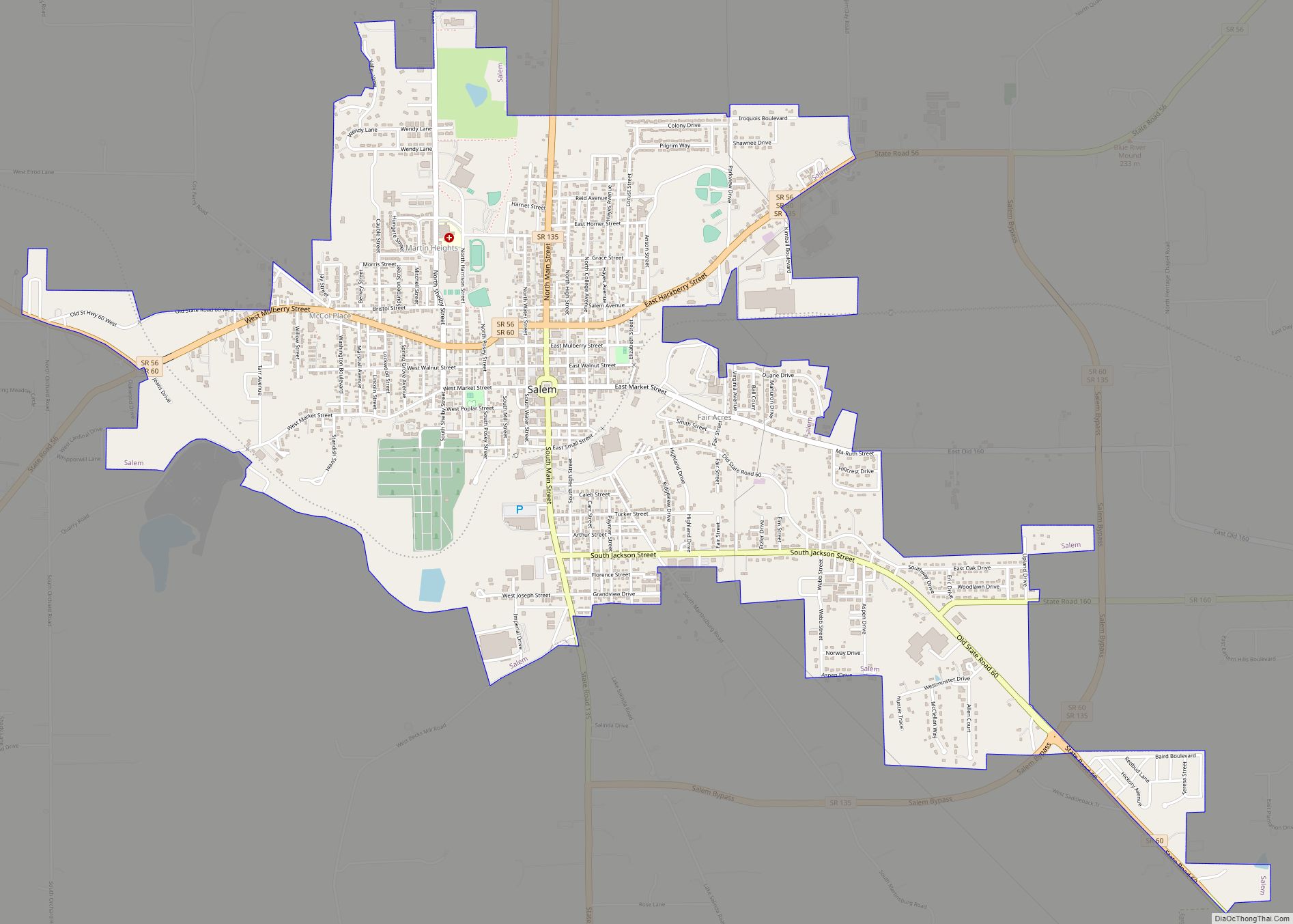
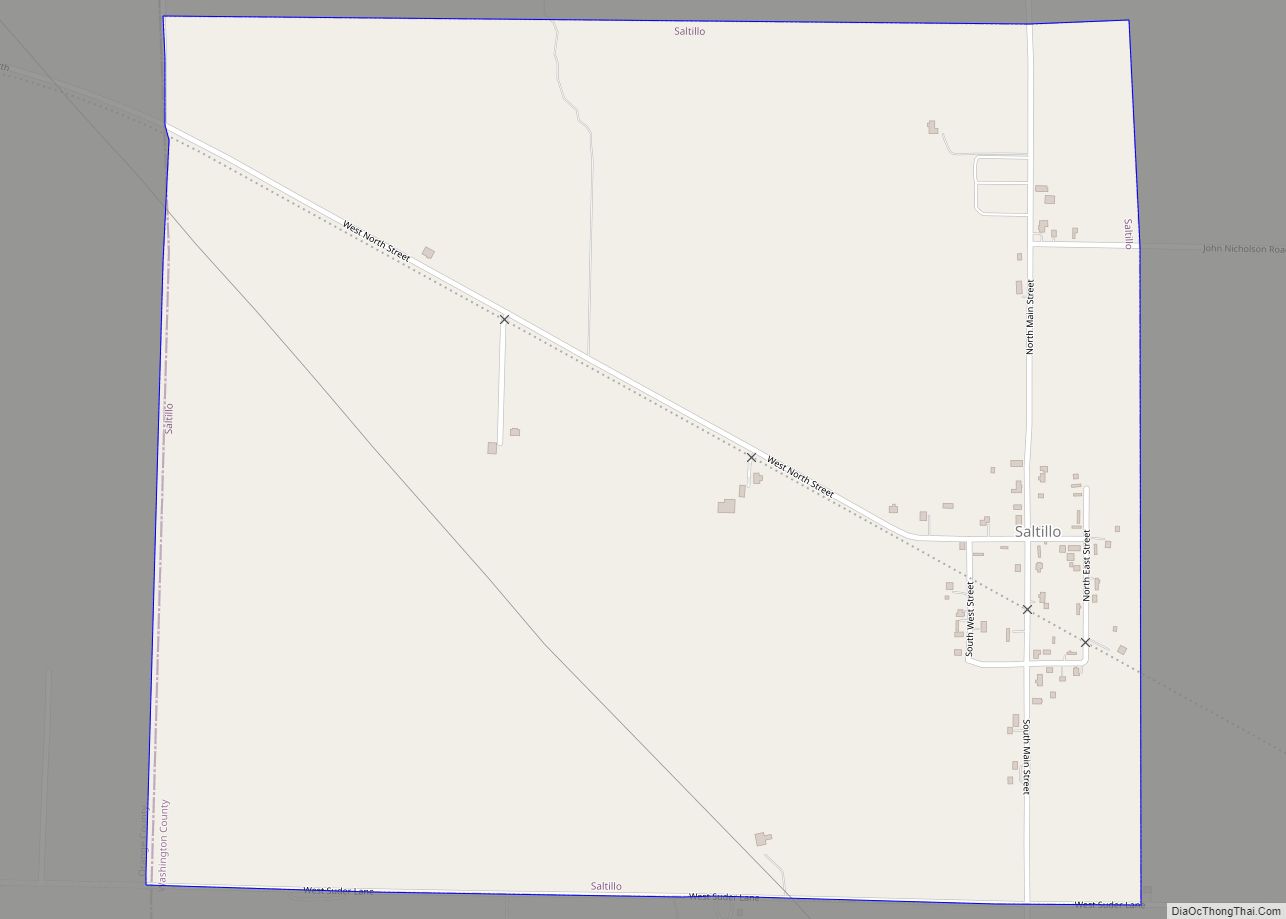
Salem Road Map
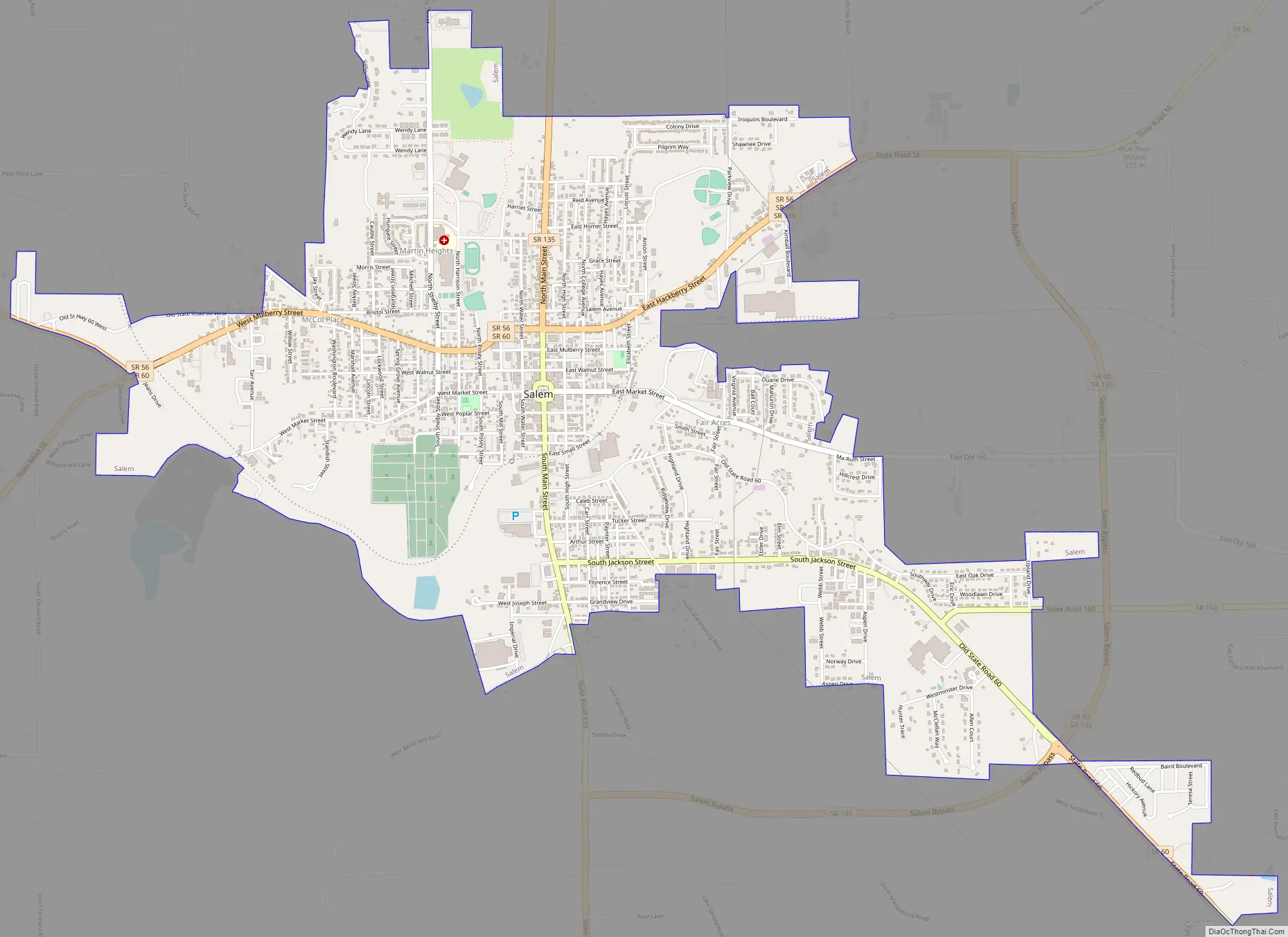
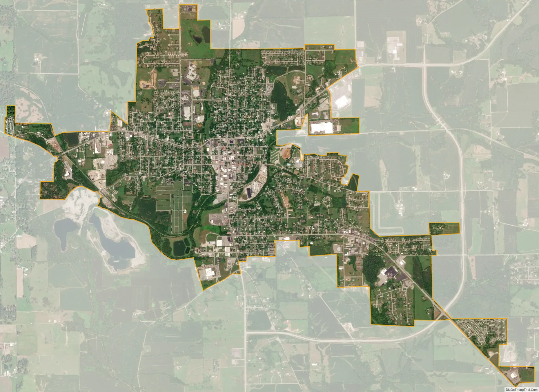
Salem city Satellite Map
Geography
Salem is primarily an agricultural community, surrounded by typical Indiana forests and farmland and small bodies of water. The primary crops grown in the area are corn and soybeans. Homes in the area are of a variety of styles, with a portion of residential homes having Victorian architectural design.
According to the 2010 census, Salem has a total area of 4.018 square miles (10.41 km), of which 4 square miles (10.36 km) (or 99.55%) is land and 0.018 square miles (0.05 km) (or 0.45%) is water.
Climate
The climate in this area is characterized by hot, humid summers, and generally mild to cool winters. According to the Köppen Climate Classification system, Salem has a humid subtropical climate, abbreviated “Cfa” on climate maps.
See also
Map of Indiana State and its subdivision:- Adams
- Allen
- Bartholomew
- Benton
- Blackford
- Boone
- Brown
- Carroll
- Cass
- Clark
- Clay
- Clinton
- Crawford
- Daviess
- De Kalb
- Dearborn
- Decatur
- Delaware
- Dubois
- Elkhart
- Fayette
- Floyd
- Fountain
- Franklin
- Fulton
- Gibson
- Grant
- Greene
- Hamilton
- Hancock
- Harrison
- Hendricks
- Henry
- Howard
- Huntington
- Jackson
- Jasper
- Jay
- Jefferson
- Jennings
- Johnson
- Knox
- Kosciusko
- LaGrange
- Lake
- Lake Michigan
- LaPorte
- Lawrence
- Madison
- Marion
- Marshall
- Martin
- Miami
- Monroe
- Montgomery
- Morgan
- Newton
- Noble
- Ohio
- Orange
- Owen
- Parke
- Perry
- Pike
- Porter
- Posey
- Pulaski
- Putnam
- Randolph
- Ripley
- Rush
- Saint Joseph
- Scott
- Shelby
- Spencer
- Starke
- Steuben
- Sullivan
- Switzerland
- Tippecanoe
- Tipton
- Union
- Vanderburgh
- Vermillion
- Vigo
- Wabash
- Warren
- Warrick
- Washington
- Wayne
- Wells
- White
- Whitley
- Alabama
- Alaska
- Arizona
- Arkansas
- California
- Colorado
- Connecticut
- Delaware
- District of Columbia
- Florida
- Georgia
- Hawaii
- Idaho
- Illinois
- Indiana
- Iowa
- Kansas
- Kentucky
- Louisiana
- Maine
- Maryland
- Massachusetts
- Michigan
- Minnesota
- Mississippi
- Missouri
- Montana
- Nebraska
- Nevada
- New Hampshire
- New Jersey
- New Mexico
- New York
- North Carolina
- North Dakota
- Ohio
- Oklahoma
- Oregon
- Pennsylvania
- Rhode Island
- South Carolina
- South Dakota
- Tennessee
- Texas
- Utah
- Vermont
- Virginia
- Washington
- West Virginia
- Wisconsin
- Wyoming