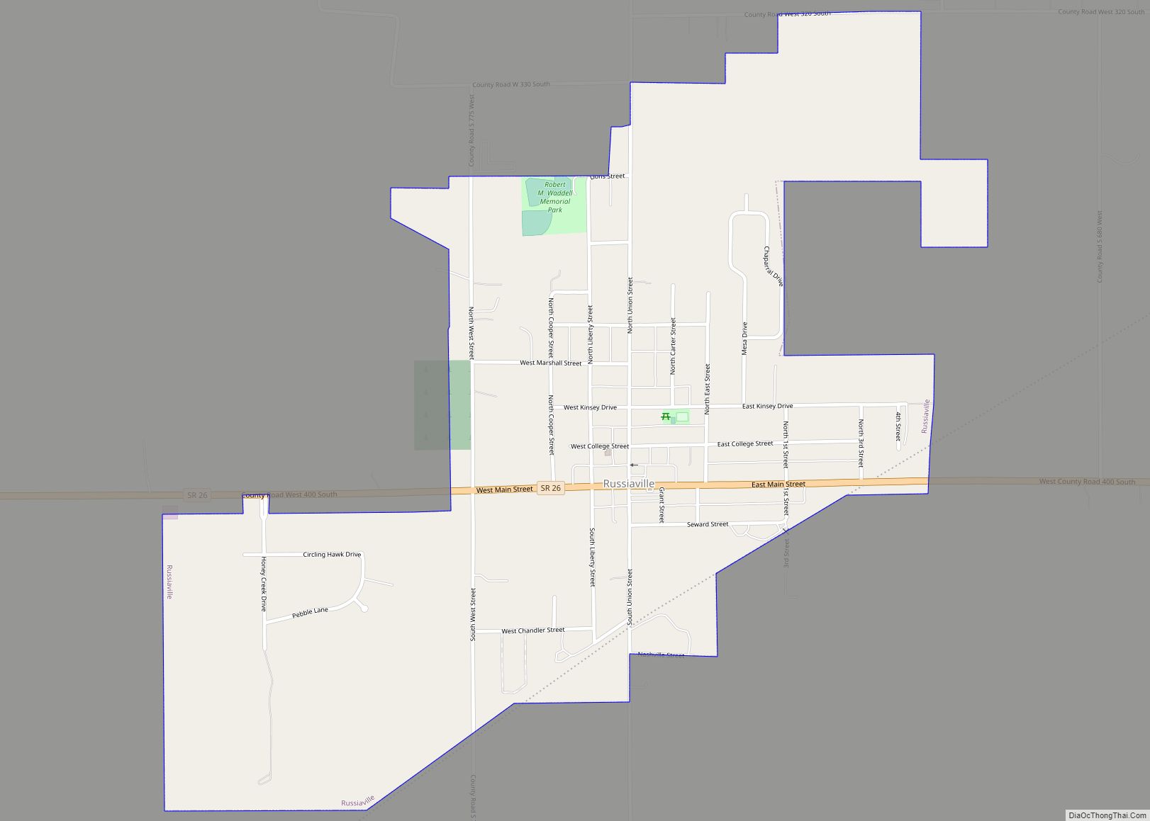
Russiaville (/ˈruːʃəvɪl/) is a town in Honey Creek Township, Howard County, Indiana, United States. The population was 1,094 at the 2010 census. It is part of the Kokomo Metropolitan Statistical Area. Russiaville was incorporated sometime between the 1860 and 1870 US Census.
| Name: | Russiaville town |
|---|---|
| LSAD Code: | 43 |
| LSAD Description: | town (suffix) |
| State: | Indiana |
| County: | Howard County |
| Elevation: | 843 ft (257 m) |
| Total Area: | 0.90 sq mi (2.32 km²) |
| Land Area: | 0.90 sq mi (2.32 km²) |
| Water Area: | 0.00 sq mi (0.00 km²) |
| Total Population: | 1,319 |
| Population Density: | 1,473.74/sq mi (569.32/km²) |
| ZIP code: | 46979 |
| Area code: | 765 |
| FIPS code: | 1866546 |
| GNISfeature ID: | 0442420 |
| Website: | http://www.townofrussiaville.com |
Online Interactive Map
Click on ![]() to view map in "full screen" mode.
to view map in "full screen" mode.
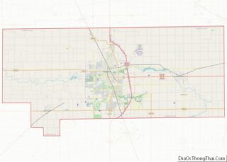
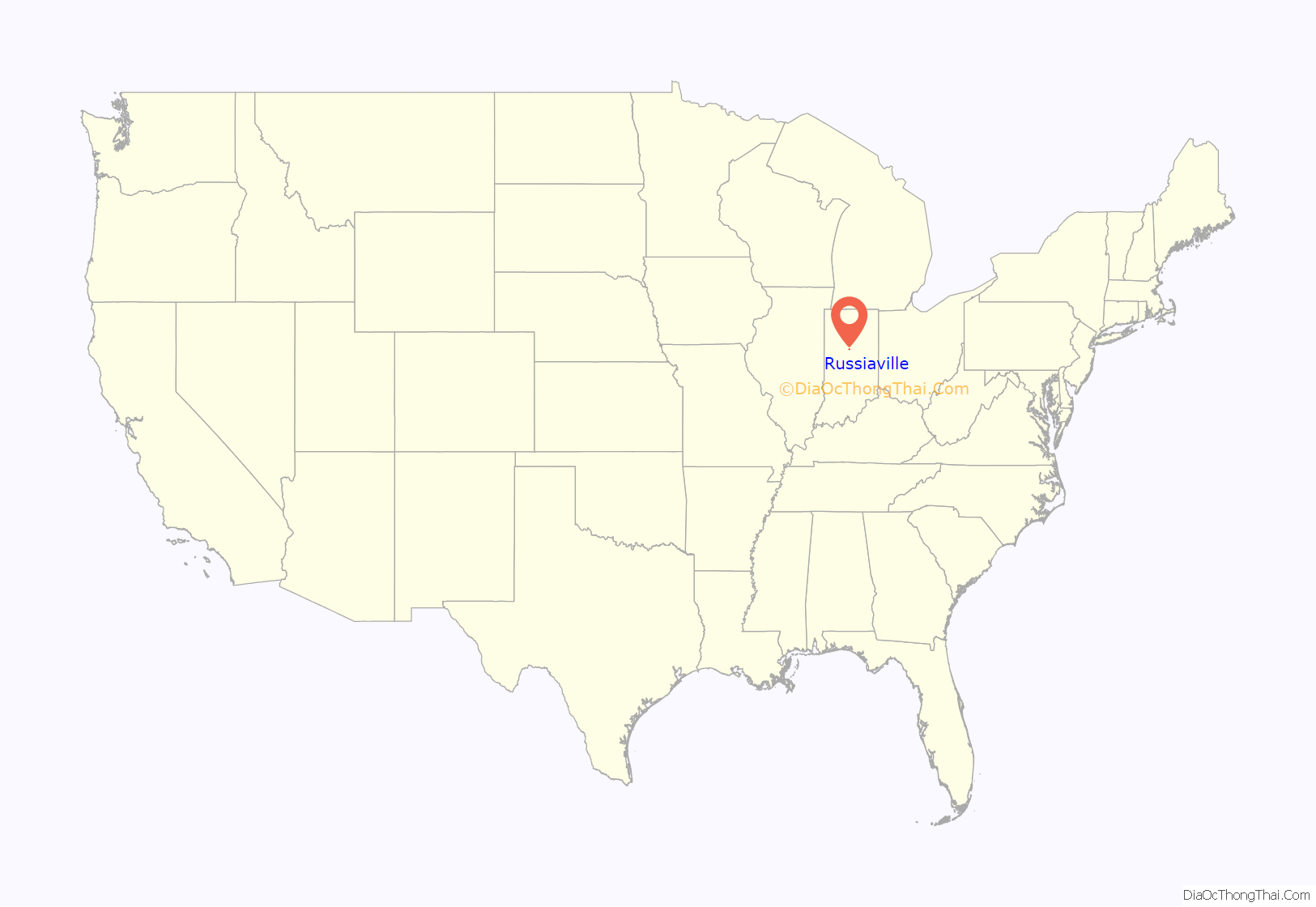
Russiaville location map. Where is Russiaville town?

History
Russiaville was laid out in 1845.
Russiaville became a Quaker settlement in the years before the Civil War. They created a stop on the Underground Railroad for fugitive slaves in the antebellum years in nearby New London, then the site of the Friends Meeting serving the entire area. A local legend tells that the stop included a tunnel under New London from a safe house to a cave in the hollow of Honey Creek, near the location of the Friends Meetinghouse.
Russiaville is the birthplace of Jonathan Dixon Maxwell (Sept. 3, 1864), builder of the Maxwell automobile. He is buried there.
Almost all of the town was destroyed on April 11, 1965, by an F4 tornado, which was part of the Palm Sunday Tornado Outbreak. With rebuilding, the town had a population of 1,094 at the 2010 census. 50 years later, the town has been growing and is greatly prospering.
In 1985, Ryan White was an American teenager going to the Western School District’s Middle School, who became a national poster child for HIV/AIDS in the United States after being denied re-admittance to school following an AIDS diagnosis. The school district faced pressure from many parents and faculty to ban student Ryan White from the campus after his diagnosis of HIV became widely known. The case, and local families’ treatment of the White family, became a focal point in the public debate around funding for HIV treatment and public perception, eventually leading to the Ryan White CARE Act. The act provides funding to improve availability of care for low-income, uninsured and under-insured victims of AIDS and their families.
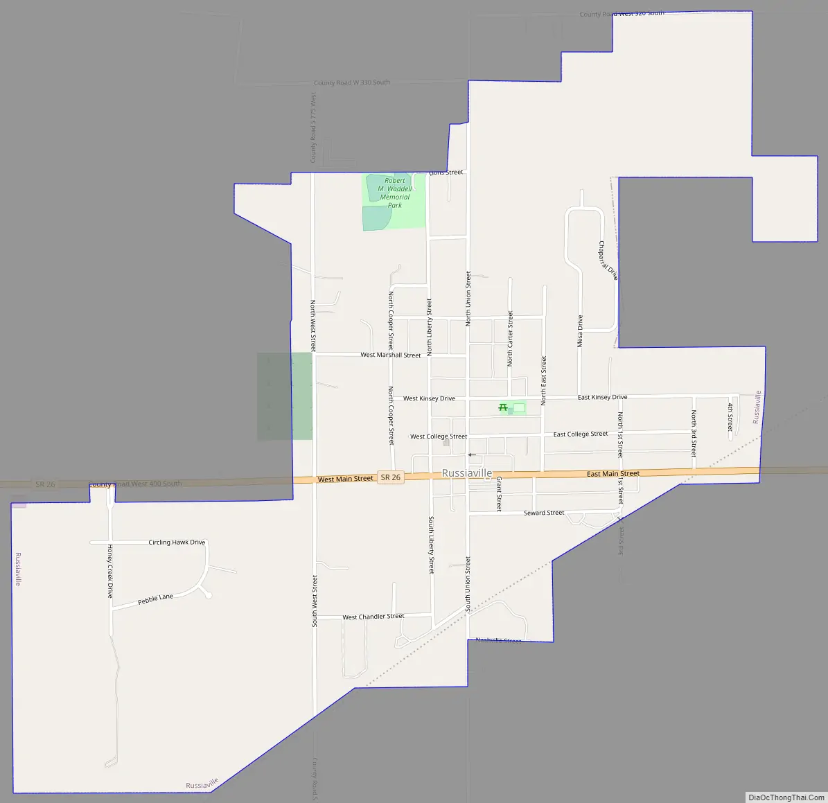
Russiaville Road Map
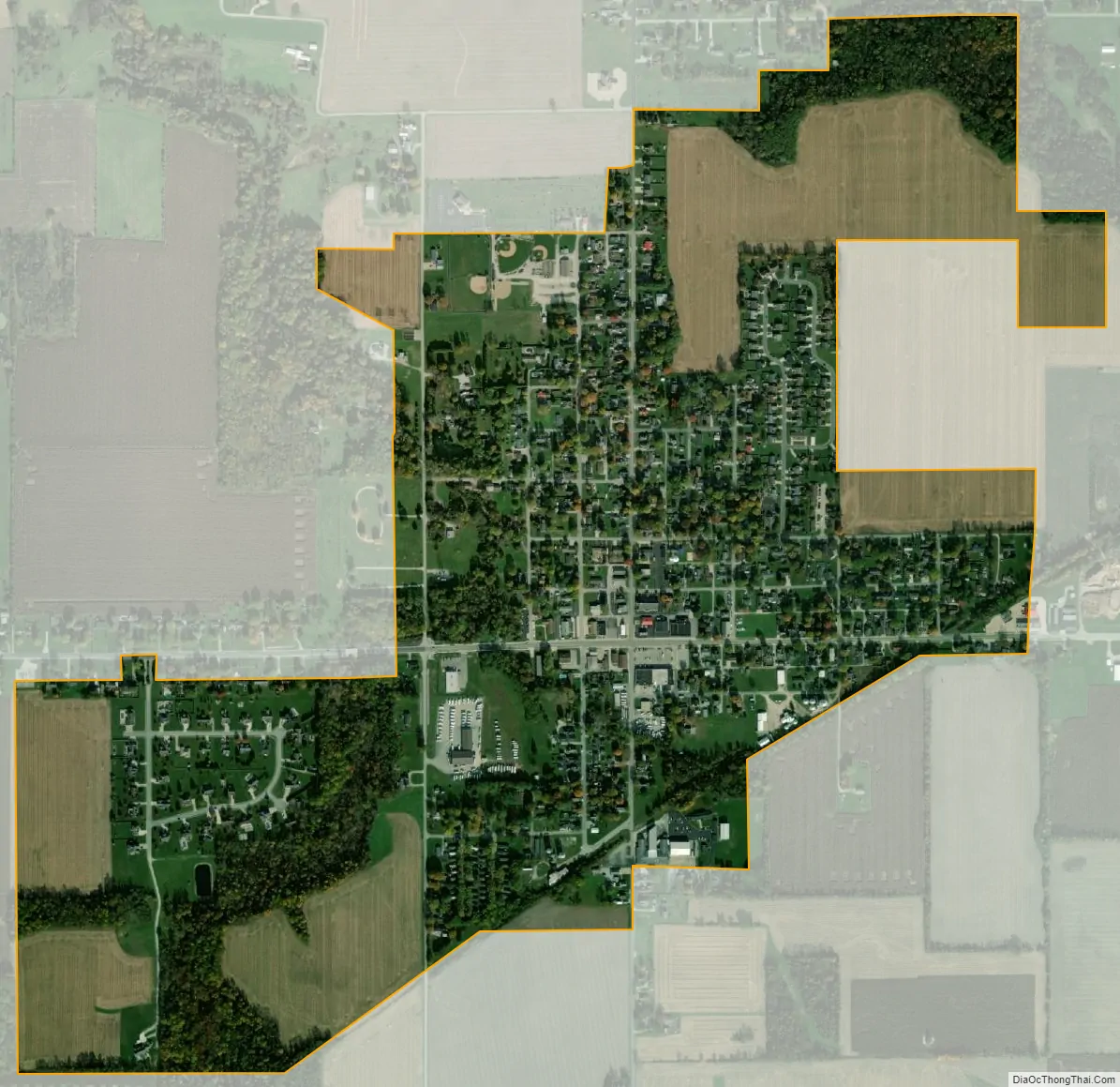
Russiaville city Satellite Map
Geography
Russiaville is located at 40°25′8″N 86°16′19″W / 40.41889°N 86.27194°W / 40.41889; -86.27194 (40.418852, -86.272010).
According to the 2010 census, Russiaville has a total area of 0.81 square miles (2.10 km), all land.
See also
Map of Indiana State and its subdivision:- Adams
- Allen
- Bartholomew
- Benton
- Blackford
- Boone
- Brown
- Carroll
- Cass
- Clark
- Clay
- Clinton
- Crawford
- Daviess
- De Kalb
- Dearborn
- Decatur
- Delaware
- Dubois
- Elkhart
- Fayette
- Floyd
- Fountain
- Franklin
- Fulton
- Gibson
- Grant
- Greene
- Hamilton
- Hancock
- Harrison
- Hendricks
- Henry
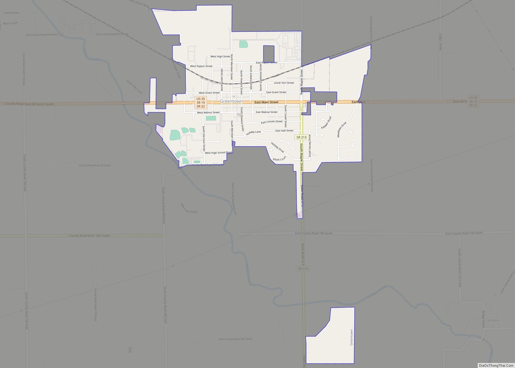
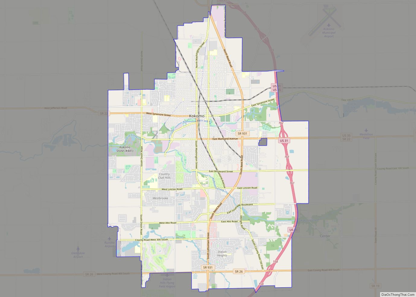
- Howard
- Huntington
- Jackson
- Jasper
- Jay
- Jefferson
- Jennings
- Johnson
- Knox
- Kosciusko
- LaGrange
- Lake
- Lake Michigan
- LaPorte
- Lawrence
- Madison
- Marion
- Marshall
- Martin
- Miami
- Monroe
- Montgomery
- Morgan
- Newton
- Noble
- Ohio
- Orange
- Owen
- Parke
- Perry
- Pike
- Porter
- Posey
- Pulaski
- Putnam
- Randolph
- Ripley
- Rush
- Saint Joseph
- Scott
- Shelby
- Spencer
- Starke
- Steuben
- Sullivan
- Switzerland
- Tippecanoe
- Tipton
- Union
- Vanderburgh
- Vermillion
- Vigo
- Wabash
- Warren
- Warrick
- Washington
- Wayne
- Wells
- White
- Whitley
- Alabama
- Alaska
- Arizona
- Arkansas
- California
- Colorado
- Connecticut
- Delaware
- District of Columbia
- Florida
- Georgia
- Hawaii
- Idaho
- Illinois
- Indiana
- Iowa
- Kansas
- Kentucky
- Louisiana
- Maine
- Maryland
- Massachusetts
- Michigan
- Minnesota
- Mississippi
- Missouri
- Montana
- Nebraska
- Nevada
- New Hampshire
- New Jersey
- New Mexico
- New York
- North Carolina
- North Dakota
- Ohio
- Oklahoma
- Oregon
- Pennsylvania
- Rhode Island
- South Carolina
- South Dakota
- Tennessee
- Texas
- Utah
- Vermont
- Virginia
- Washington
- West Virginia
- Wisconsin
- Wyoming