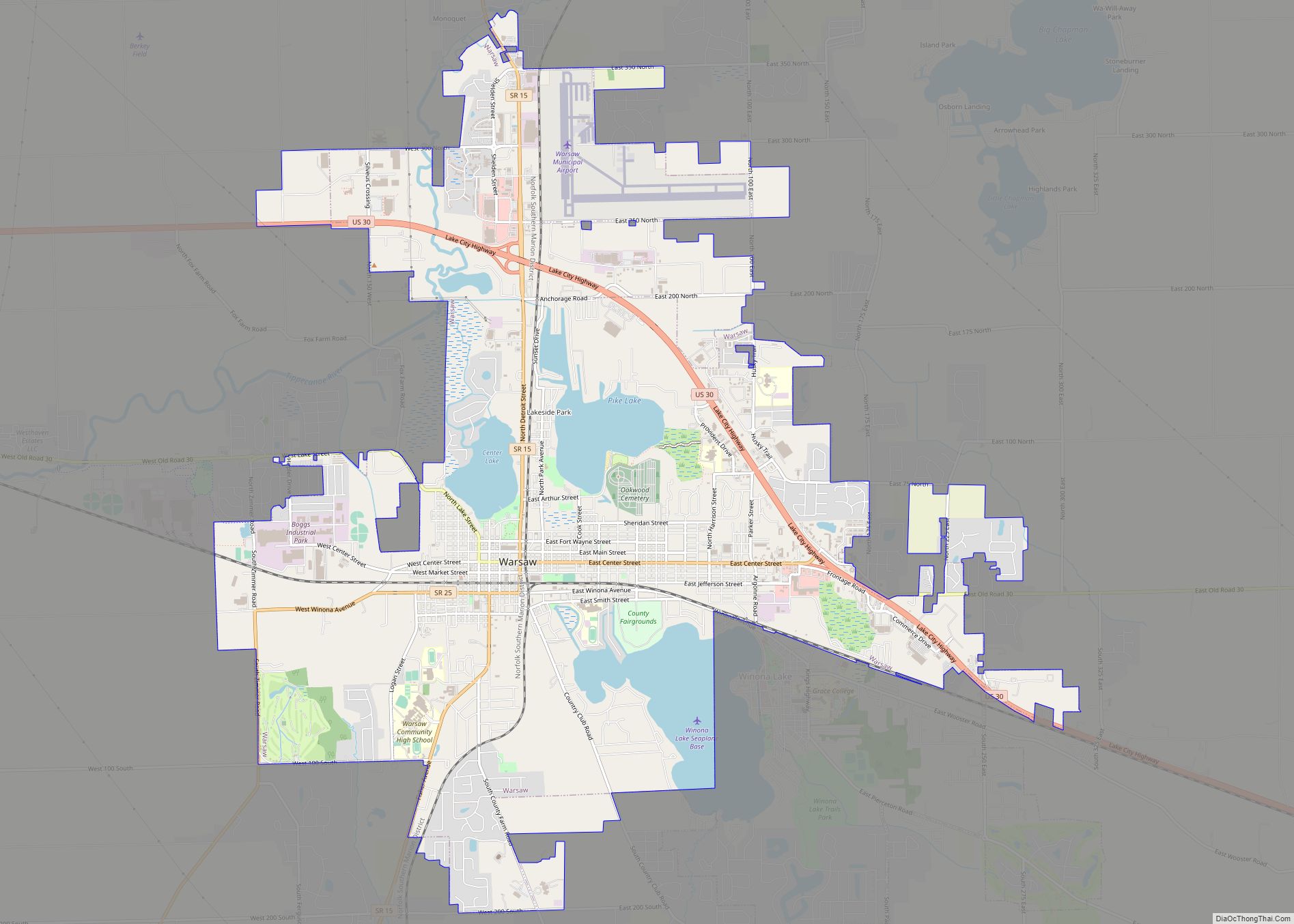
Warsaw is a city in and the county seat of Kosciusko County, Indiana, United States. Warsaw has a population of 15,804 as of the 2020 U.S. Census. Warsaw also borders a smaller town, Winona Lake. Warsaw city overview: Name: Warsaw city LSAD Code: 25 LSAD Description: city (suffix) State: Indiana County: Kosciusko County Elevation: 823 ft ... Read more
Indiana Cities and Places
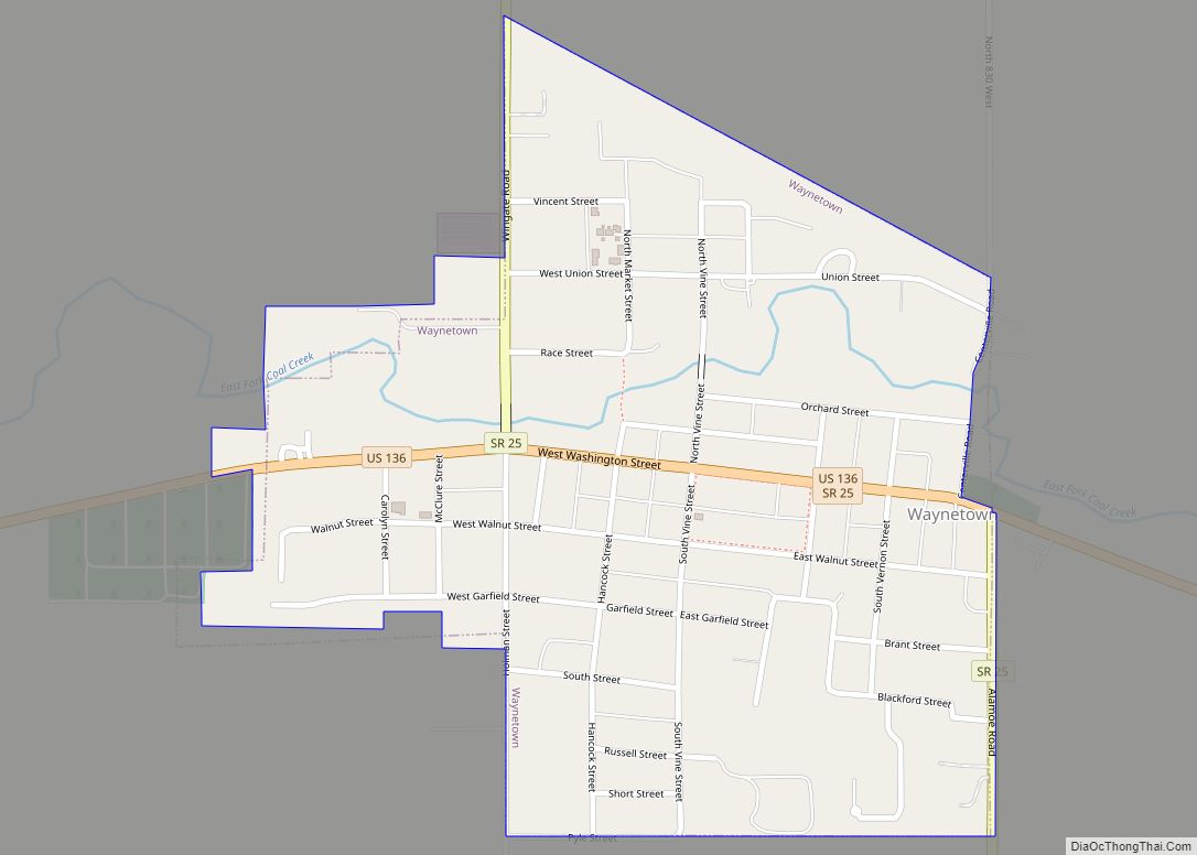
Waynetown is a town in Wayne Township, Montgomery County, in the U.S. state of Indiana. The population was 960 at the 2020 census. Waynetown town overview: Name: Waynetown town LSAD Code: 43 LSAD Description: town (suffix) State: Indiana County: Montgomery County Elevation: 764 ft (233 m) Total Area: 0.45 sq mi (1.15 km²) Land Area: 0.45 sq mi (1.15 km²) Water Area: 0.00 sq mi ... Read more
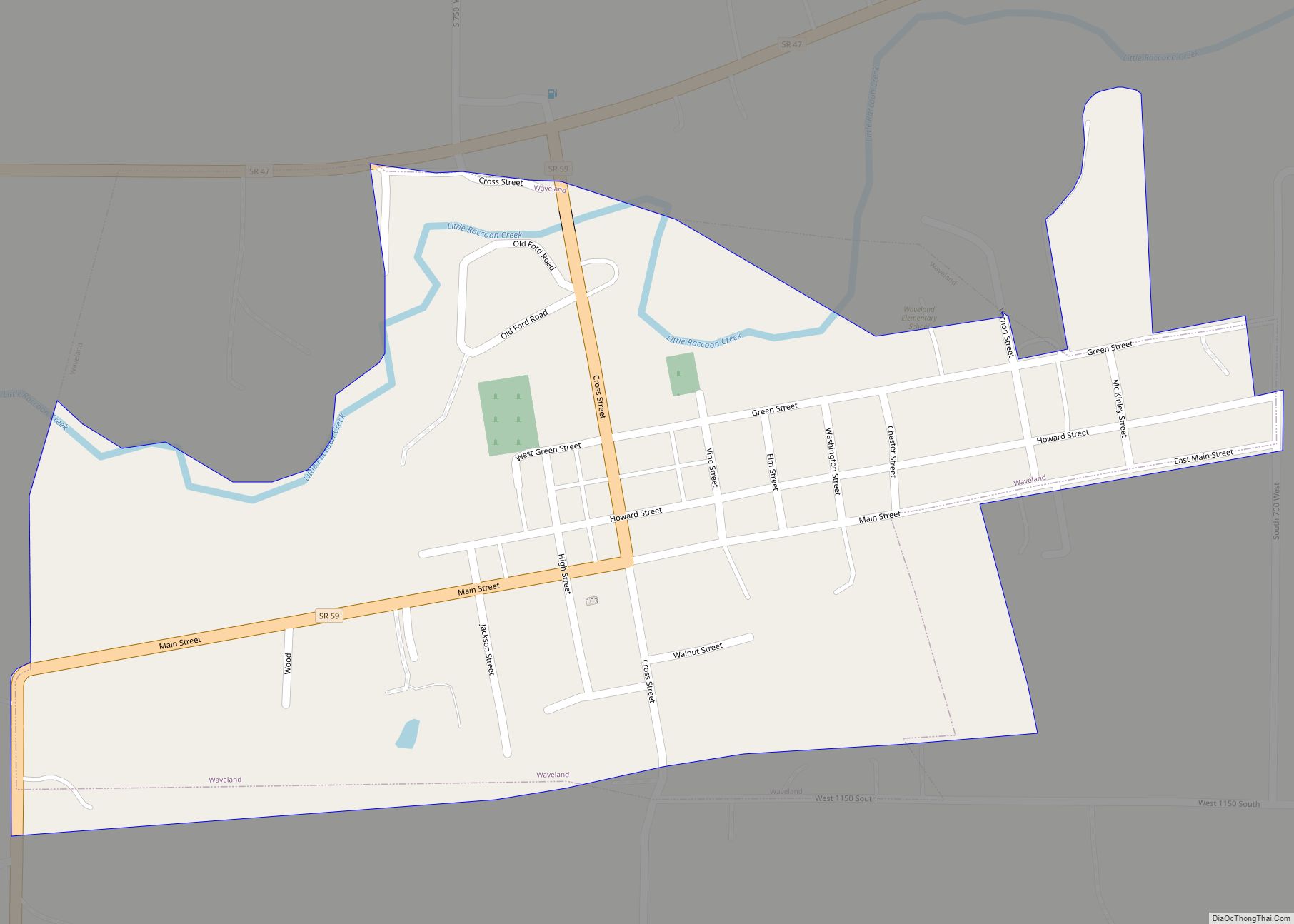
Waveland is a town in Brown Township, Montgomery County, in the U.S. state of Indiana. The population was 427 at the 2020 census. Waveland town overview: Name: Waveland town LSAD Code: 43 LSAD Description: town (suffix) State: Indiana County: Montgomery County Elevation: 781 ft (238 m) Total Area: 0.31 sq mi (0.80 km²) Land Area: 0.31 sq mi (0.80 km²) Water Area: 0.00 sq mi ... Read more
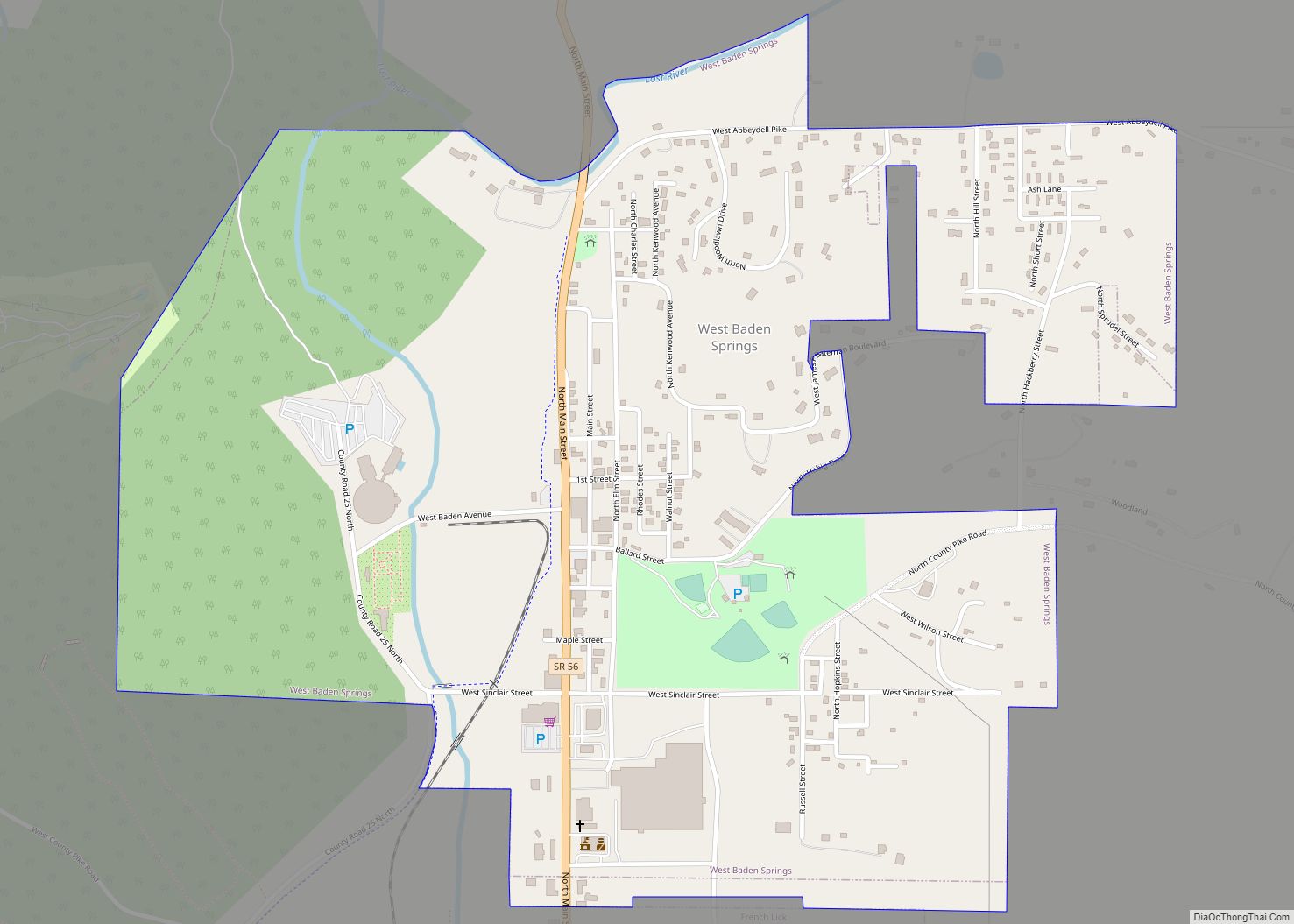
West Baden Springs is a town in French Lick Township, Orange County, in the U.S. state of Indiana. The population was 574 at the 2010 census. It is well known for its West Baden Springs Hotel and for being the birthplace of Larry Bird. West Baden Springs town overview: Name: West Baden Springs town LSAD ... Read more
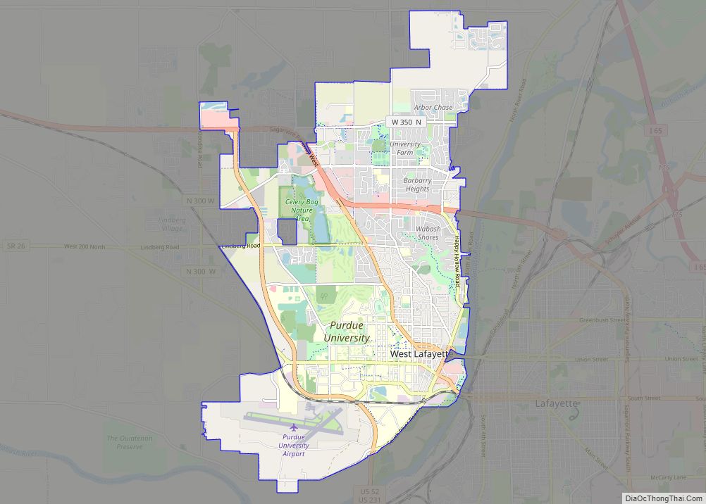
West Lafayette (/ˌlɑːfiːˈɛt, ˌlæf-/) is a city in Wabash Township, Tippecanoe County, Indiana, United States, about 65 miles (105 km) northwest of the state capital of Indianapolis and 113 miles (182 km) southeast of Chicago. West Lafayette is directly across the Wabash River from its sister city, Lafayette. As of the 2020 census, its population was 44,595. ... Read more
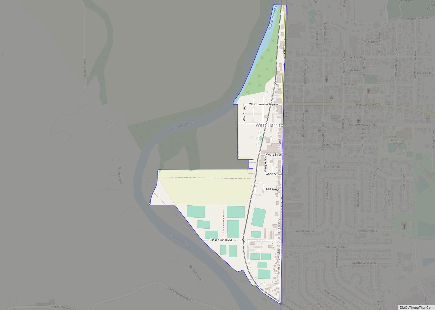
West Harrison is a town in Harrison Township, Dearborn County, Indiana, United States. The population was 289 at the 2010 census. West Harrison town overview: Name: West Harrison town LSAD Code: 43 LSAD Description: town (suffix) State: Indiana County: Dearborn County Elevation: 518 ft (158 m) Total Area: 0.23 sq mi (0.59 km²) Land Area: 0.22 sq mi (0.57 km²) Water Area: 0.01 sq mi ... Read more
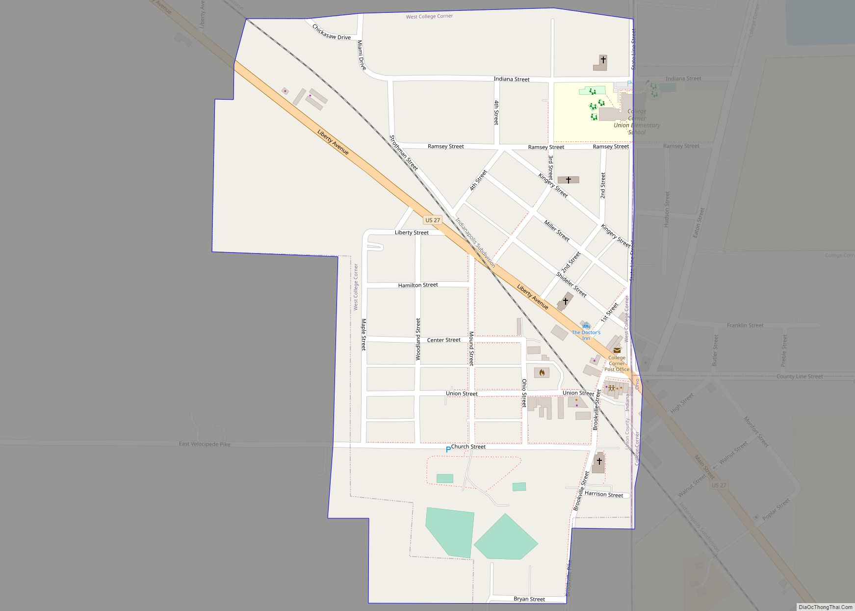
West College Corner (also known as just College Corner) is a town in Union Township, Union County, Indiana, United States. The population was 545 at the 2020 census. The town is bordered on the east by the state line with Ohio, directly bordering the village of College Corner, Ohio. The town’s public school, part of ... Read more
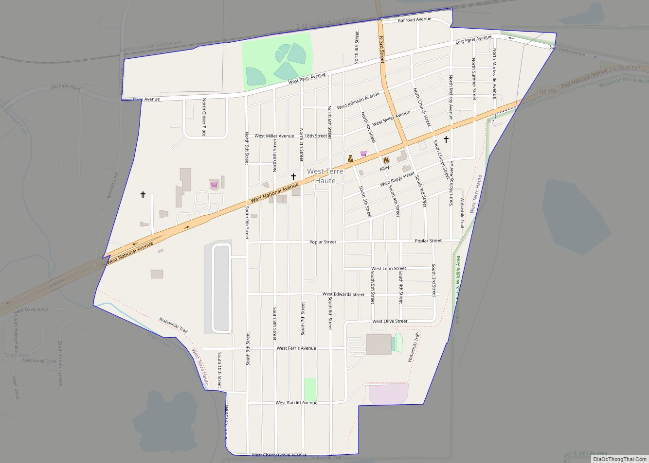
West Terre Haute is a town in Sugar Creek Township, Vigo County, Indiana, on the western side of the Wabash River near Terre Haute. The population was 2,236 at the 2010 census. It is part of the Terre Haute Metropolitan Statistical Area. Bethany Congregational Church was placed on the National Register of Historic Places in ... Read more
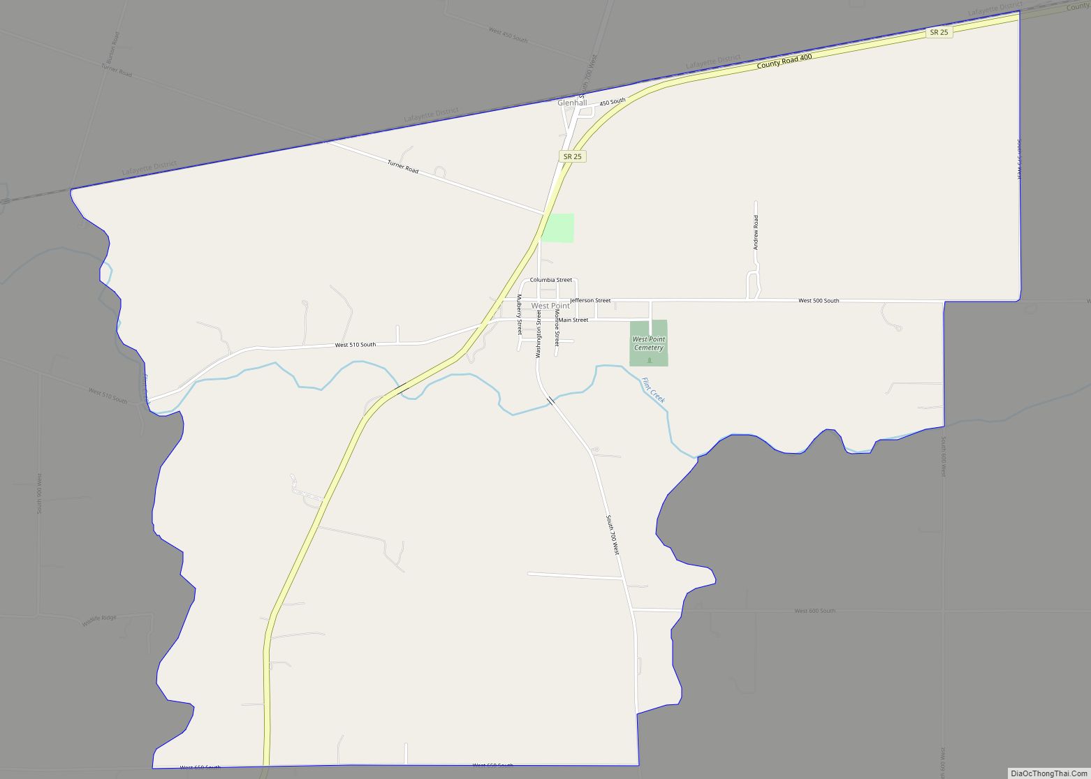
West Point (sometimes shown as Westpoint) is an unincorporated community and census-designated place in Wayne Township, Tippecanoe County, in the U.S. state of Indiana. The population was 594 at the 2010 census. The community is part of the Lafayette, Indiana Metropolitan Statistical Area. West Point CDP overview: Name: West Point CDP LSAD Code: 57 LSAD ... Read more
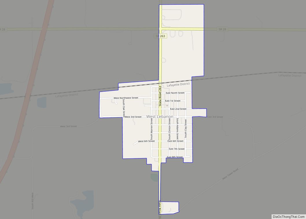
West Lebanon is a town in Pike Township, Warren County, in the U.S. state of Indiana. The population was 723 at the 2010 census. West Lebanon town overview: Name: West Lebanon town LSAD Code: 43 LSAD Description: town (suffix) State: Indiana County: Warren County Founded: 1830 Incorporated: 1869 Elevation: 718 ft (219 m) Total Area: 0.61 sq mi (1.59 km²) ... Read more
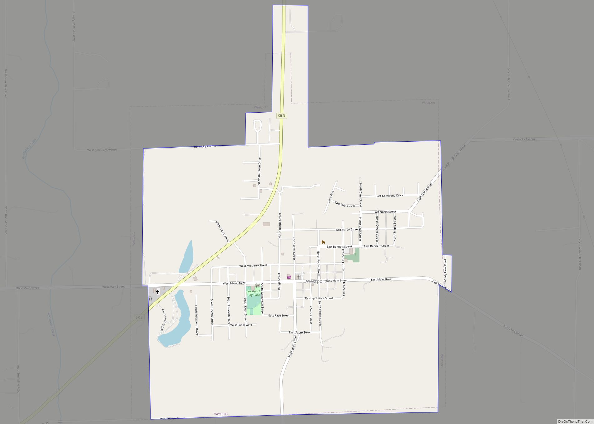
Westport is a town located in Sand Creek Township, Decatur County, Indiana. The population was 1,379 at the 2010 census. A covered bridge, built in 1880, is located about 1.5 miles east of town. Westport town overview: Name: Westport town LSAD Code: 43 LSAD Description: town (suffix) State: Indiana County: Decatur County Elevation: 814 ft (248 m) ... Read more
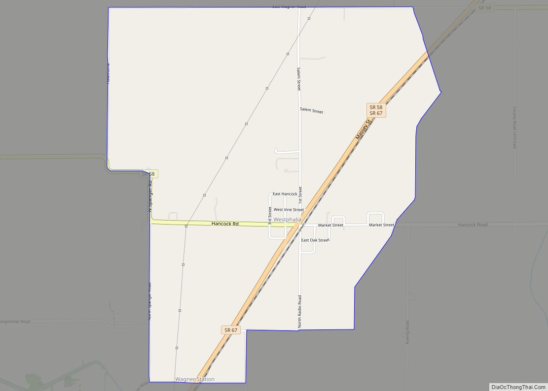
Westphalia is an unincorporated community and census-designated place (CDP) in Vigo Township, Knox County, Indiana. As of the 2010 census it had a population of 202. Westphalia CDP overview: Name: Westphalia CDP LSAD Code: 57 LSAD Description: CDP (suffix) State: Indiana County: Knox County Elevation: 466 ft (142 m) Total Area: 2.06 sq mi (5.34 km²) Land Area: 2.06 sq mi (5.34 km²) ... Read more
