West Lebanon is a town in Pike Township, Warren County, in the U.S. state of Indiana. The population was 723 at the 2010 census.
| Name: | West Lebanon town |
|---|---|
| LSAD Code: | 43 |
| LSAD Description: | town (suffix) |
| State: | Indiana |
| County: | Warren County |
| Founded: | 1830 |
| Incorporated: | 1869 |
| Elevation: | 718 ft (219 m) |
| Total Area: | 0.61 sq mi (1.59 km²) |
| Land Area: | 0.61 sq mi (1.59 km²) |
| Water Area: | 0.00 sq mi (0.00 km²) |
| Total Population: | 678 |
| Population Density: | 1,102.44/sq mi (425.34/km²) |
| ZIP code: | 47991 |
| Area code: | 765 |
| FIPS code: | 1882934 |
| GNISfeature ID: | 445780 |
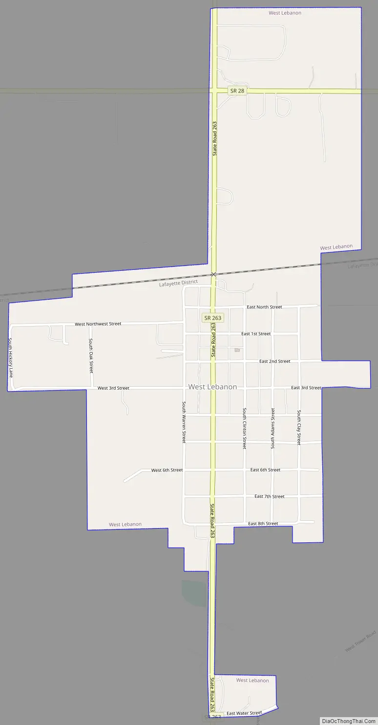
Online Interactive Map
Click on ![]() to view map in "full screen" mode.
to view map in "full screen" mode.
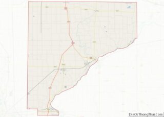
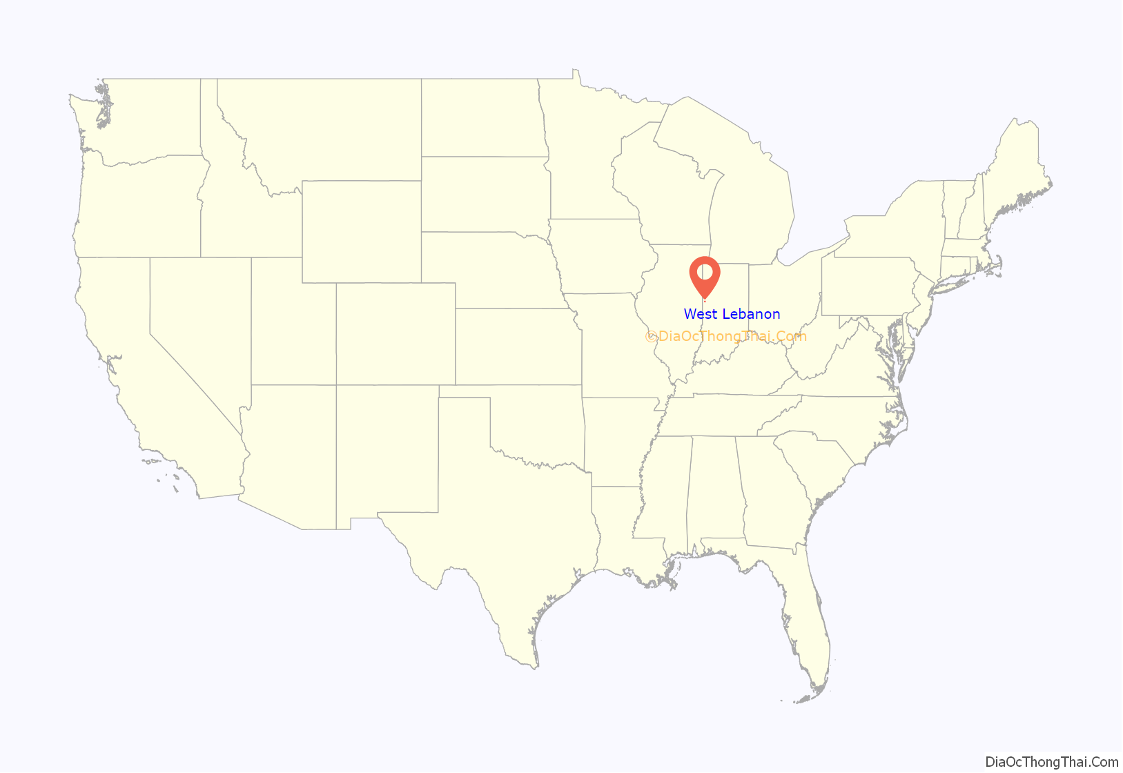
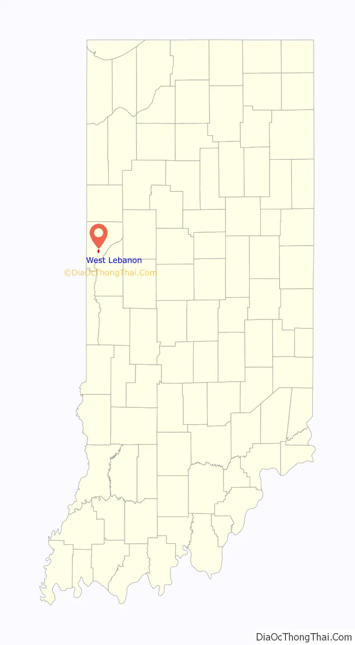
West Lebanon location map. Where is West Lebanon town?
History
West Lebanon was laid out and platted in the fall of 1830 by Ebenezer Purviance, John G. Jemison and Andrew Fleming, and consisted of 64 lots. Originally named Lebanon, the name was changed to West Lebanon in 1869 when the town was incorporated, possibly in deference to the Boone County community of the same name which established its post office on December 15, 1832, just eleven days before their own.
Not being close to any waterways, West Lebanon’s early growth was relatively slow and for many years had no more than 20 families. However, with the completion of the Wabash Railroad line one mile north of town in 1856, the community’s fortunes improved and led to most of the town relocating closer to the station. The original settlement area became known as Old Town.
A Carnegie library was built at the corner of High Street and North Street in 1916 and continues to operate as the West Lebanon-Pike Township Public Library.
Fire destroyed part of West Lebanon’s business district the evening of January 26, 2011, destroying a row of buildings along the west side of High Street between First and North streets.
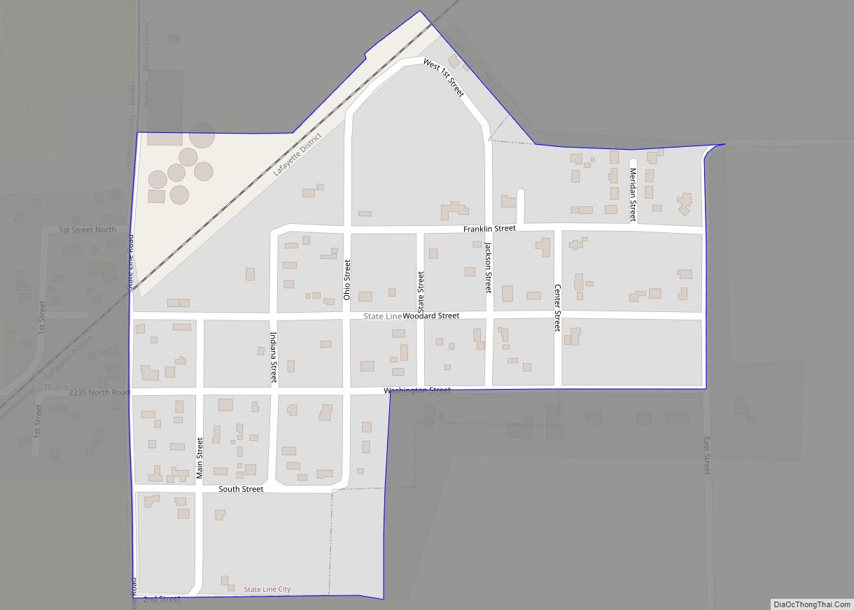
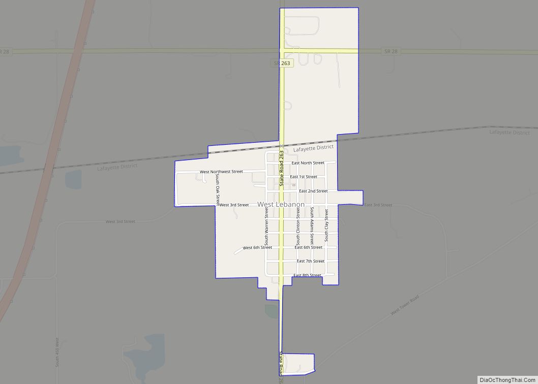
West Lebanon Road Map
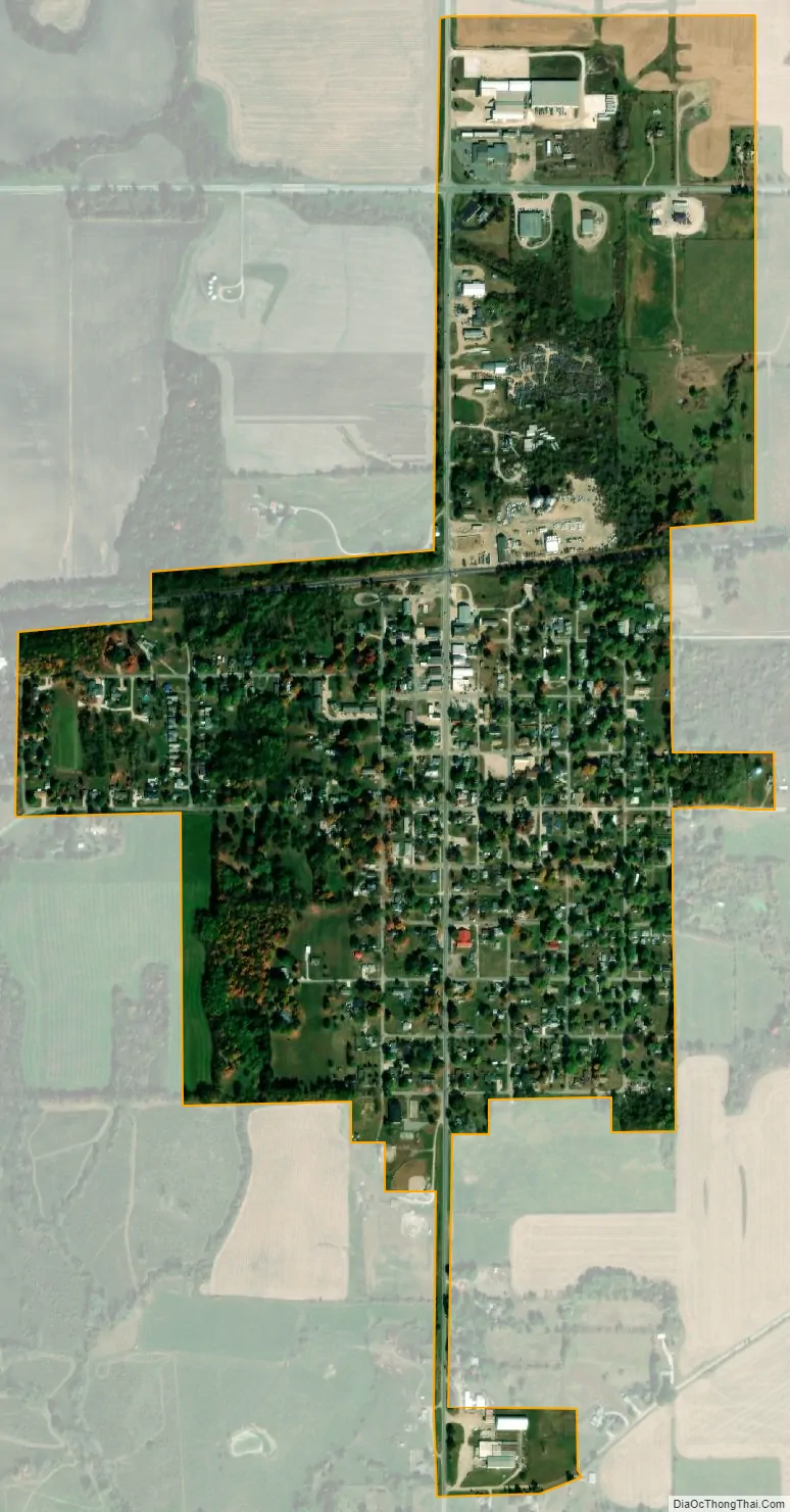
West Lebanon city Satellite Map
Geography
West Lebanon is located just south of State Road 28 about 7.5 miles (12.1 km) east of the Illinois border and about 5 miles (8.0 km) west of Williamsport. State Road 263 is concurrent with High Street and intersects State Road 28 at the north edge of town. A line of the Norfolk Southern Railway also passes through the north edge of the town. Rock Creek, east of town, flows south toward the Wabash River and forms the township’s eastern border; it is fed by the small Johnson Branch which crosses the north edge of town.
According to the 2010 census, West Lebanon has a total area of 0.62 square miles (1.61 km), all land.
See also
Map of Indiana State and its subdivision:- Adams
- Allen
- Bartholomew
- Benton
- Blackford
- Boone
- Brown
- Carroll
- Cass
- Clark
- Clay
- Clinton
- Crawford
- Daviess
- De Kalb
- Dearborn
- Decatur
- Delaware
- Dubois
- Elkhart
- Fayette
- Floyd
- Fountain
- Franklin
- Fulton
- Gibson
- Grant
- Greene
- Hamilton
- Hancock
- Harrison
- Hendricks
- Henry
- Howard
- Huntington
- Jackson
- Jasper
- Jay
- Jefferson
- Jennings
- Johnson
- Knox
- Kosciusko
- LaGrange
- Lake
- Lake Michigan
- LaPorte
- Lawrence
- Madison
- Marion
- Marshall
- Martin
- Miami
- Monroe
- Montgomery
- Morgan
- Newton
- Noble
- Ohio
- Orange
- Owen
- Parke
- Perry
- Pike
- Porter
- Posey
- Pulaski
- Putnam
- Randolph
- Ripley
- Rush
- Saint Joseph
- Scott
- Shelby
- Spencer
- Starke
- Steuben
- Sullivan
- Switzerland
- Tippecanoe
- Tipton
- Union
- Vanderburgh
- Vermillion
- Vigo
- Wabash
- Warren
- Warrick
- Washington
- Wayne
- Wells
- White
- Whitley
- Alabama
- Alaska
- Arizona
- Arkansas
- California
- Colorado
- Connecticut
- Delaware
- District of Columbia
- Florida
- Georgia
- Hawaii
- Idaho
- Illinois
- Indiana
- Iowa
- Kansas
- Kentucky
- Louisiana
- Maine
- Maryland
- Massachusetts
- Michigan
- Minnesota
- Mississippi
- Missouri
- Montana
- Nebraska
- Nevada
- New Hampshire
- New Jersey
- New Mexico
- New York
- North Carolina
- North Dakota
- Ohio
- Oklahoma
- Oregon
- Pennsylvania
- Rhode Island
- South Carolina
- South Dakota
- Tennessee
- Texas
- Utah
- Vermont
- Virginia
- Washington
- West Virginia
- Wisconsin
- Wyoming