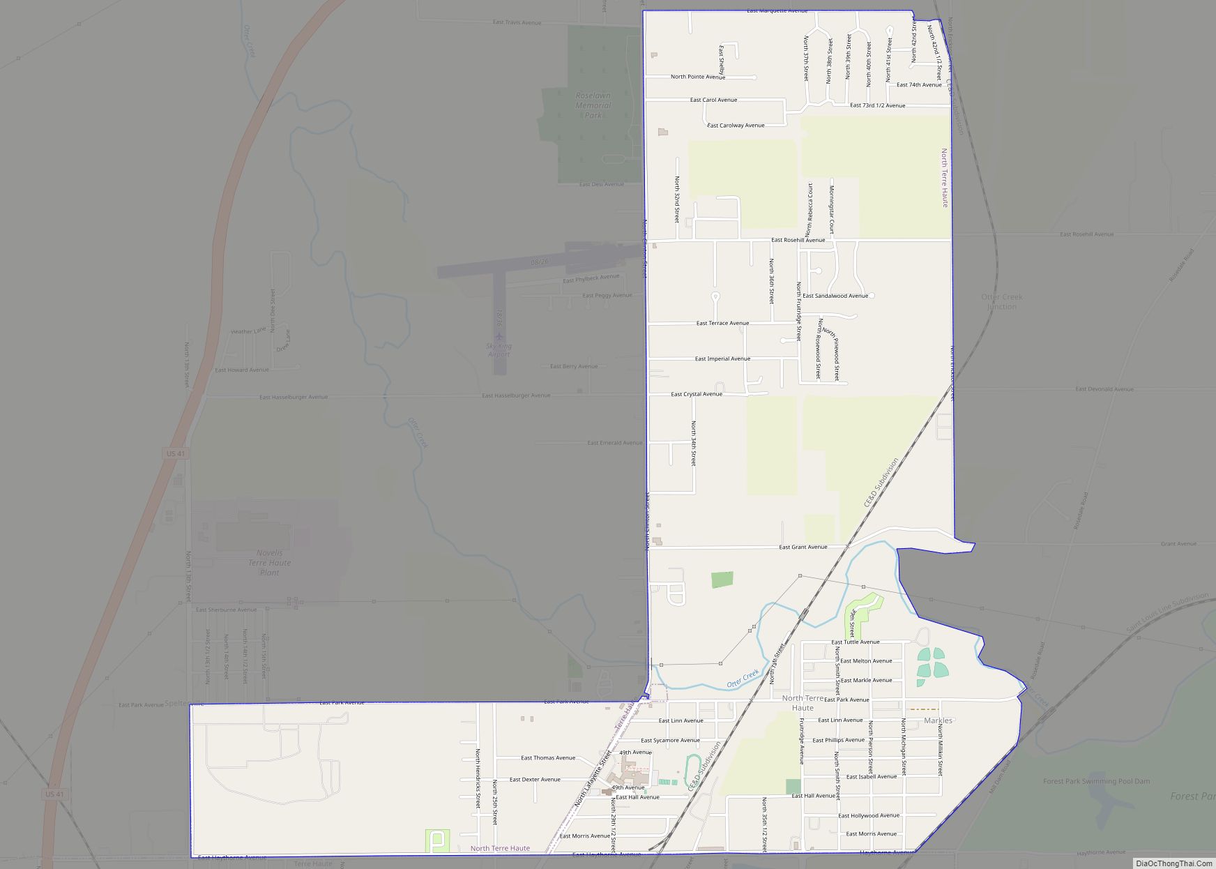
West Terre Haute is a town in Sugar Creek Township, Vigo County, Indiana, on the western side of the Wabash River near Terre Haute. The population was 2,236 at the 2010 census. It is part of the Terre Haute Metropolitan Statistical Area. Bethany Congregational Church was placed on the National Register of Historic Places in 2003.
| Name: | West Terre Haute town |
|---|---|
| LSAD Code: | 43 |
| LSAD Description: | town (suffix) |
| State: | Indiana |
| County: | Vigo County |
| Elevation: | 469 ft (143 m) |
| Total Area: | 0.75 sq mi (1.95 km²) |
| Land Area: | 0.75 sq mi (1.95 km²) |
| Water Area: | 0.00 sq mi (0.00 km²) |
| Total Population: | 2,157 |
| Population Density: | 2,864.54/sq mi (1,106.35/km²) |
| ZIP code: | 47885 |
| Area code: | 812 |
| FIPS code: | 1883384 |
| GNISfeature ID: | 445815 |
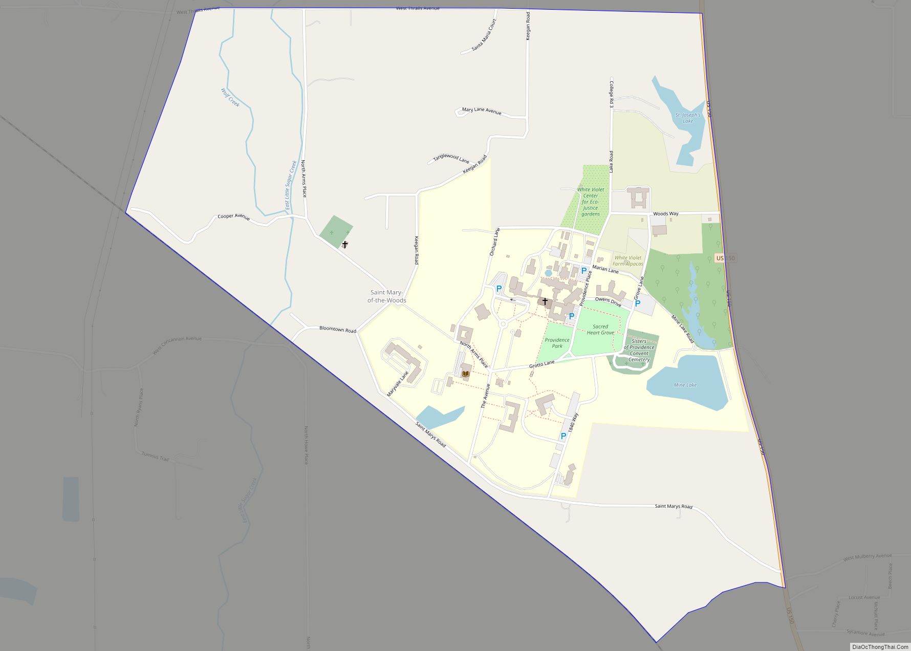
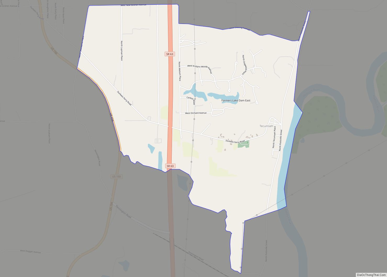
Online Interactive Map
Click on ![]() to view map in "full screen" mode.
to view map in "full screen" mode.
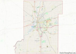
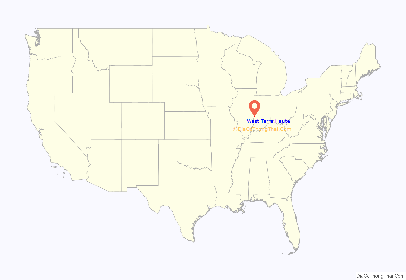
West Terre Haute location map. Where is West Terre Haute town?

History
Originally called McQuilkinsville, then simply Macksville or Maxville, West Terre Haute was laid out by Samuel McQuilkin on November 22, 1836. The first building had been put up in 1833, and in 1834 McQuilkin opened a general store on the National Road between present-day Third and Fourth Streets. The store proved useful to those working on the National Road and made McQuilkinsville an important town in the area. Because of the town’s fertile soil, soon people started settling there as vegetable farmers. John Griggs and his son Edward put up a flour mill in 1867, but the structure was burned in 1870. The town expanded quickly, with Smith Hinch building a tavern on the National Road and Richard McIlroy building a brick general store and post office in 1872.
In 1894 citizens of the town voted to change its name to West Terre Haute.
The West Terre Haute post office has been in operation since 1899.
Bethany Congregational Church was listed on the National Register of Historic Places in 2003.
Growth of industry
By 1878, industries included a lumber mill, a cigar factory, and a shingle manufacturer, and the town had grown to a population of 250.
With coal-bearing bluffs immediately to the town’s north and west, coal mining became a major industry in the town. By 1906, West Terre Haute had eleven mines in operation, served by both railroads and wagon roads. These mines averaged a daily output of 2,000 tons.
Clay deposits in the town led to the production of clay products including building brick, paving brick, sewer pipe and drain tile. Four separate companies in the area worked in this industry, including the Vigo Clay Company, the Miller Brick Company, Terre Haute Brick and Pipe Company (also known as the Vitrified Brick Company), and the National Drain Tile Company.
Just north of West Terre Haute was a large gravel pit a mile in length at its widest point. The gravel was mainly used in railroad grades.
Due to increased employment opportunities, the population of West Terre Haute increased from several hundred in the 1880s to approximately 3500 by the mid-1890s. To accommodate these new residents and commuters, in 1905 a new bridge was built to cross the Wabash River including tracks for the city’s streetcar and interurban line. The Bank of West Terre Haute was established that same year.
Decline of commerce
Beginning in the early 1920s, the coal, clay and gravel industries slowly declined. West Terre Haute became a mainly residential community for factory workers and miners. After the Great Depression, the town’s businesses included automobile repair shops and grocers. However, business faded when I-70 was constructed and circumvented the town.
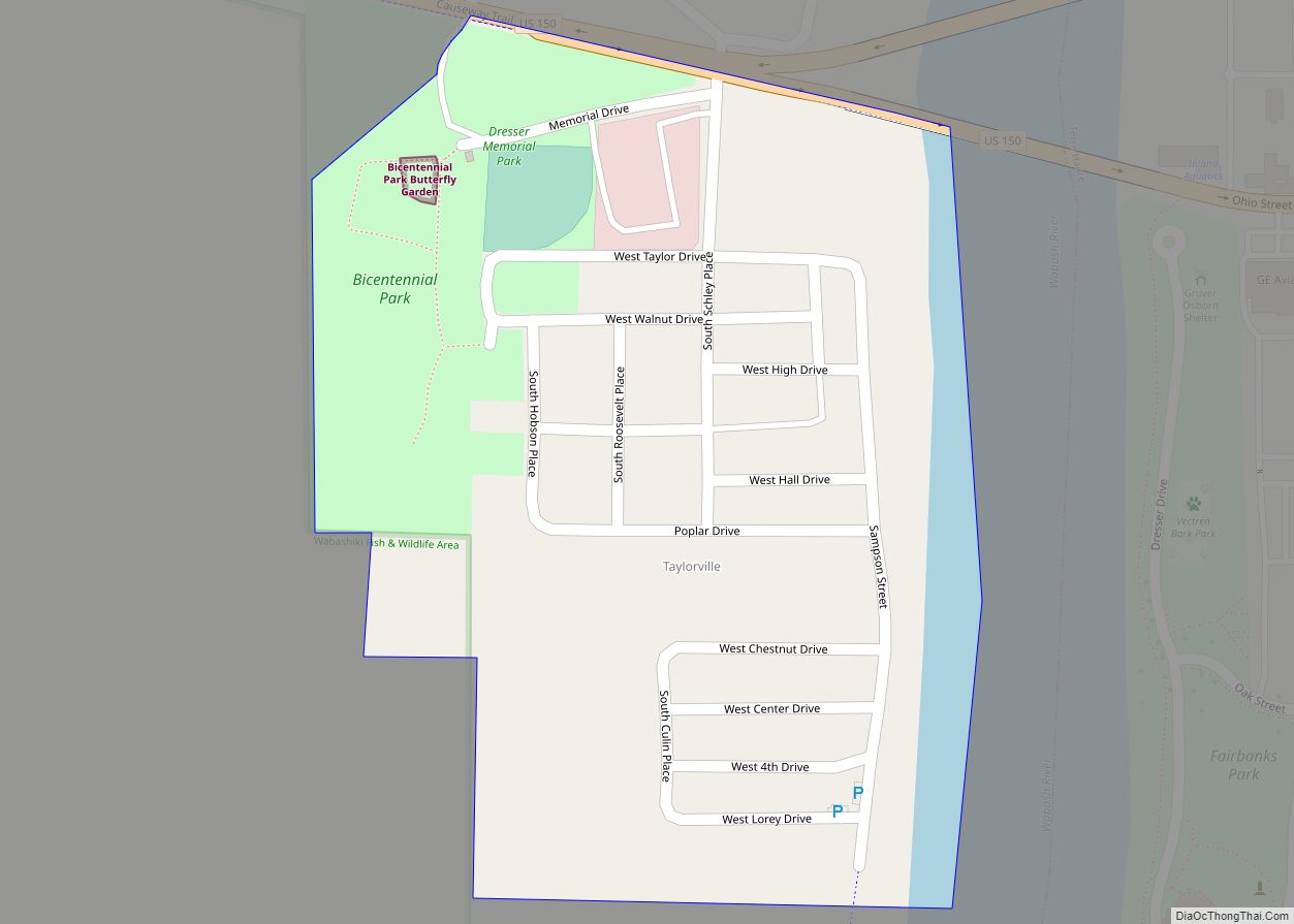
West Terre Haute Road Map
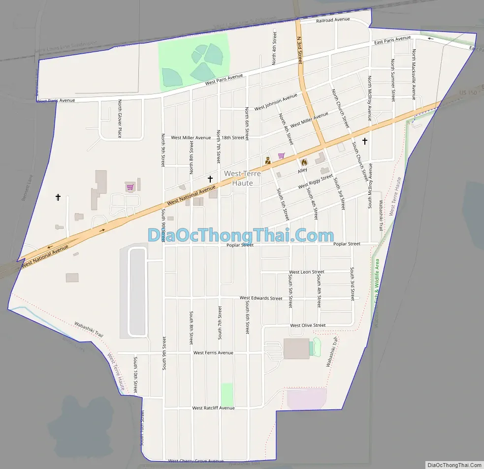
West Terre Haute city Satellite Map

Geography
West Terre Haute is located at 39°27′49″N 87°26′56″W / 39.46361°N 87.44889°W / 39.46361; -87.44889 (39.463636, -87.448963). It is separated from Terre Haute by the Wabash River and a strip of low land (known alternately as Dresser or Taylorville) on the west side of the river.
According to the 2010 census, West Terre Haute has a total area of 0.75 square miles (1.94 km), all land.
See also
Map of Indiana State and its subdivision:- Adams
- Allen
- Bartholomew
- Benton
- Blackford
- Boone
- Brown
- Carroll
- Cass
- Clark
- Clay
- Clinton
- Crawford
- Daviess
- De Kalb
- Dearborn
- Decatur
- Delaware
- Dubois
- Elkhart
- Fayette
- Floyd
- Fountain
- Franklin
- Fulton
- Gibson
- Grant
- Greene
- Hamilton
- Hancock
- Harrison
- Hendricks
- Henry
- Howard
- Huntington
- Jackson
- Jasper
- Jay
- Jefferson
- Jennings
- Johnson
- Knox
- Kosciusko
- LaGrange
- Lake
- Lake Michigan
- LaPorte
- Lawrence
- Madison
- Marion
- Marshall
- Martin
- Miami
- Monroe
- Montgomery
- Morgan
- Newton
- Noble
- Ohio
- Orange
- Owen
- Parke
- Perry
- Pike
- Porter
- Posey
- Pulaski
- Putnam
- Randolph
- Ripley
- Rush
- Saint Joseph
- Scott
- Shelby
- Spencer
- Starke
- Steuben
- Sullivan
- Switzerland
- Tippecanoe
- Tipton
- Union
- Vanderburgh
- Vermillion
- Vigo
- Wabash
- Warren
- Warrick
- Washington
- Wayne
- Wells
- White
- Whitley
- Alabama
- Alaska
- Arizona
- Arkansas
- California
- Colorado
- Connecticut
- Delaware
- District of Columbia
- Florida
- Georgia
- Hawaii
- Idaho
- Illinois
- Indiana
- Iowa
- Kansas
- Kentucky
- Louisiana
- Maine
- Maryland
- Massachusetts
- Michigan
- Minnesota
- Mississippi
- Missouri
- Montana
- Nebraska
- Nevada
- New Hampshire
- New Jersey
- New Mexico
- New York
- North Carolina
- North Dakota
- Ohio
- Oklahoma
- Oregon
- Pennsylvania
- Rhode Island
- South Carolina
- South Dakota
- Tennessee
- Texas
- Utah
- Vermont
- Virginia
- Washington
- West Virginia
- Wisconsin
- Wyoming