Waveland is a town in Brown Township, Montgomery County, in the U.S. state of Indiana. The population was 427 at the 2020 census.
| Name: | Waveland town |
|---|---|
| LSAD Code: | 43 |
| LSAD Description: | town (suffix) |
| State: | Indiana |
| County: | Montgomery County |
| Elevation: | 781 ft (238 m) |
| Total Area: | 0.31 sq mi (0.80 km²) |
| Land Area: | 0.31 sq mi (0.80 km²) |
| Water Area: | 0.00 sq mi (0.00 km²) |
| Total Population: | 427 |
| Population Density: | 1,386.36/sq mi (534.59/km²) |
| ZIP code: | 47989 |
| Area code: | 765 |
| FIPS code: | 1881458 |
| GNISfeature ID: | 445564 |
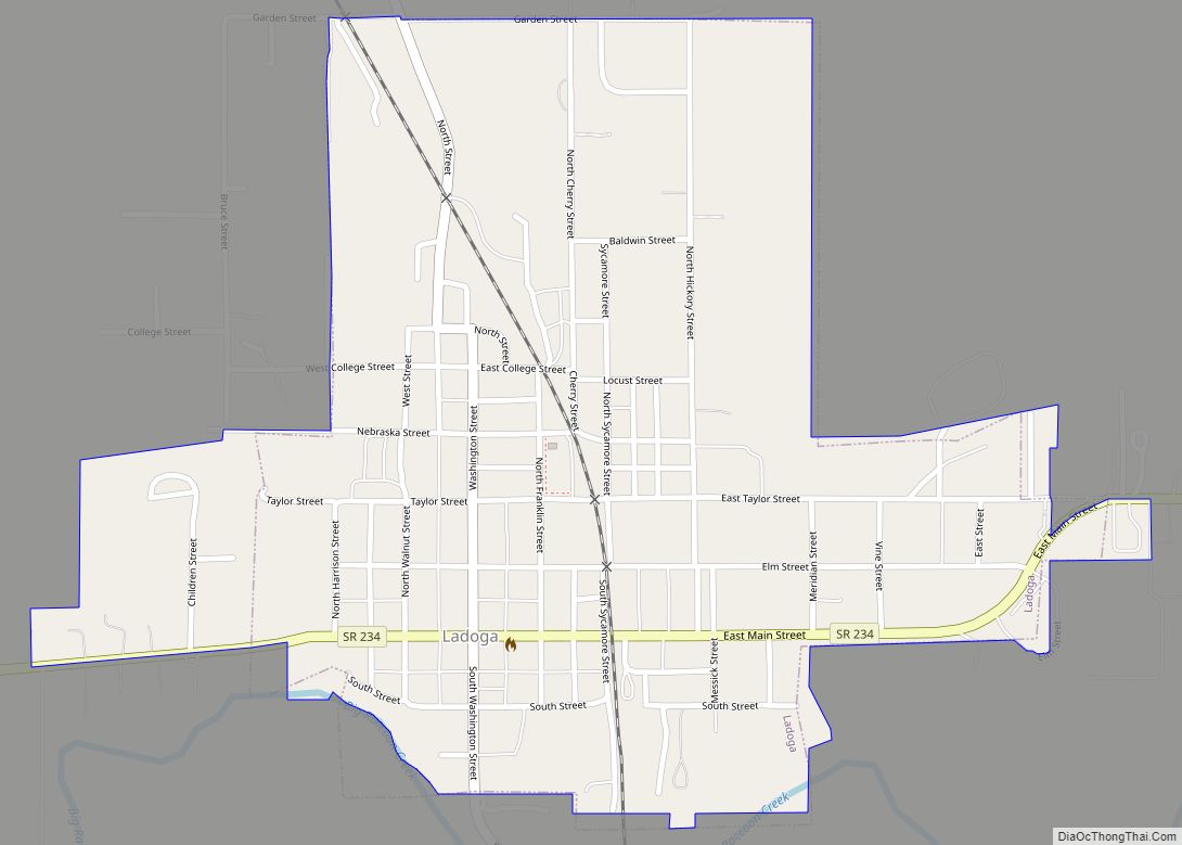
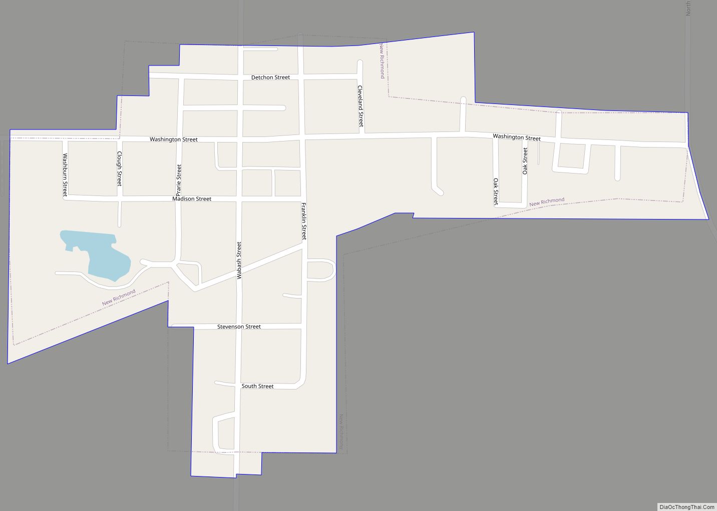
Online Interactive Map
Click on ![]() to view map in "full screen" mode.
to view map in "full screen" mode.
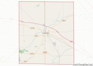
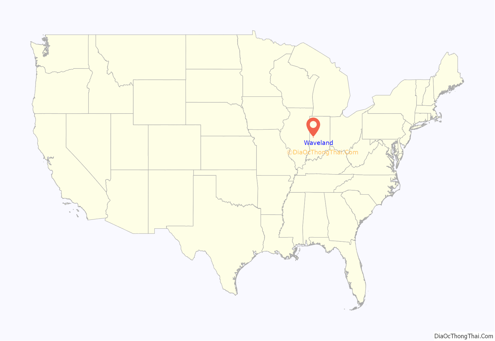
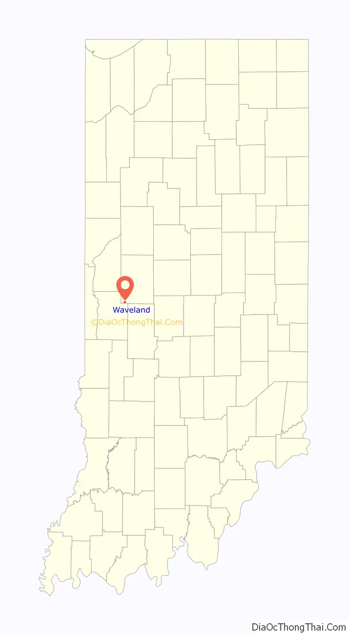
Waveland location map. Where is Waveland town?
History
Waveland was platted by John Milligan in 1835. The settlement began as a resting place at a good spring between Terre Haute and Lafayette, Indiana. After a trading post and post office were established, Milligan developed the surrounding property. By 1850, the town had three general stores, three churches, two inns, two wagon shops and a blacksmith.
Waveland was the boyhood home of American Impressionist painter T. C. Steele. His parents, Samuel and Harriett, moved to Waveland when Steele was five years old, around 1852. Steele’s father rented a saddle shop from John Milligan. Young Steele was enrolled in the Waveland Academy. The Presbyterian Church had recognized the need for higher learning in this community and provided a new brick building for the education of children. Steele family records show that, until 1870, they owned the cottage at 110 Cross Street in Waveland, built on one of Milligan’s lots.
The George Seybold House and T.C. Steele Boyhood Home are listed on the National Register of Historic Places.
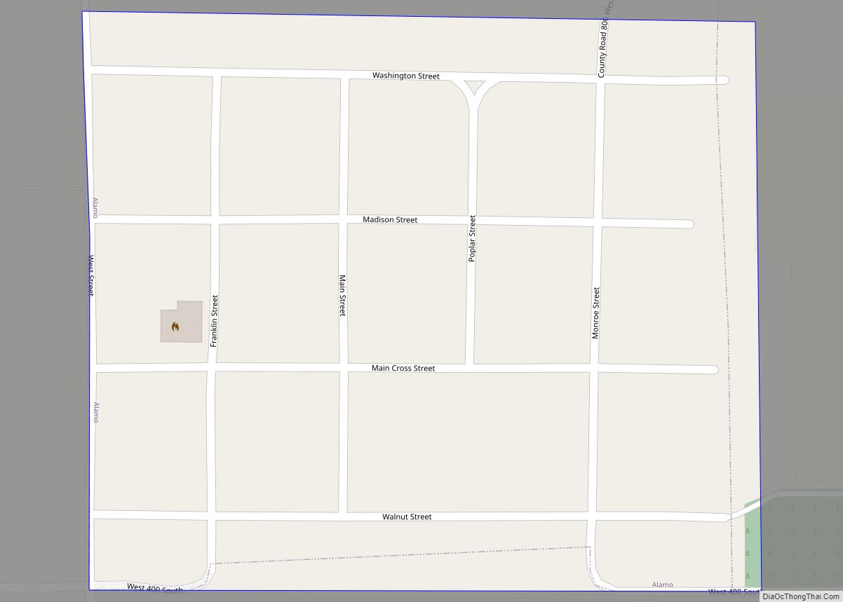
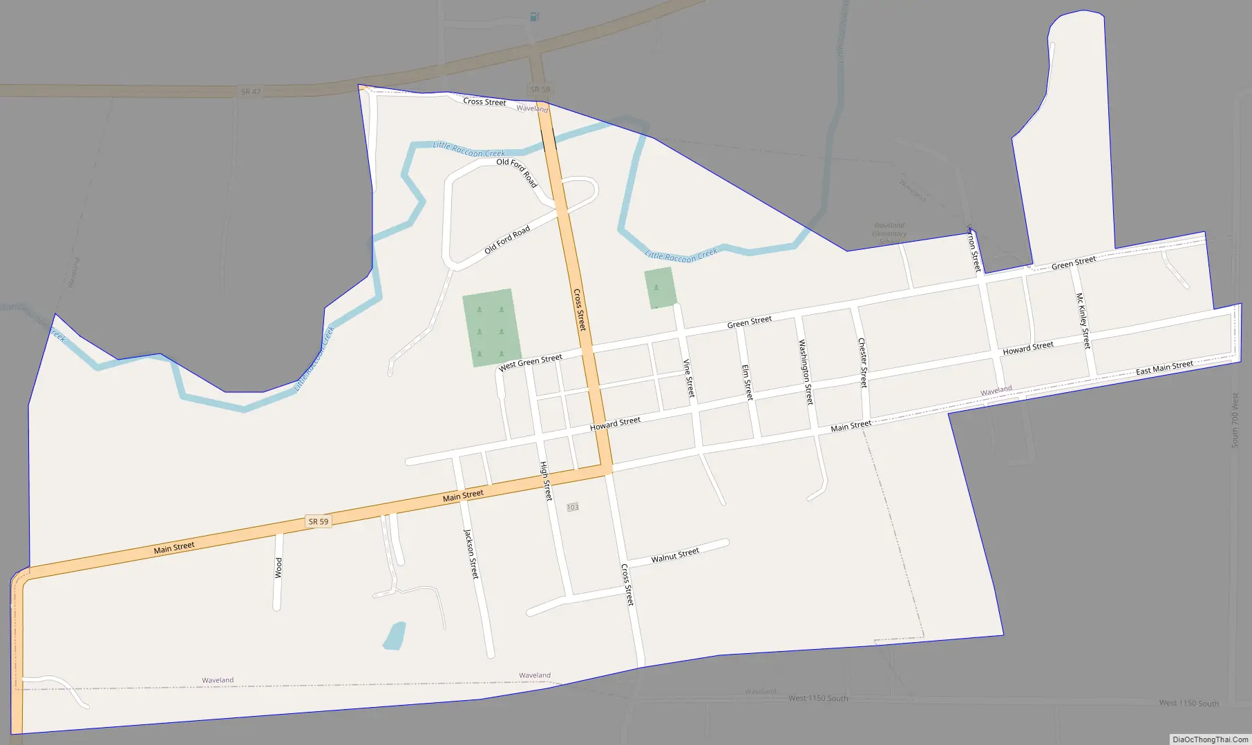
Waveland Road Map
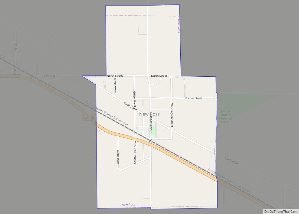
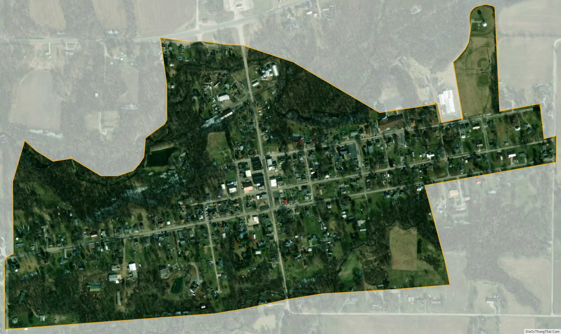
Waveland city Satellite Map
Geography
Waveland is in southwestern Montgomery County. Indiana State Road 59 passes through the center of town as Main Street and Cross Street, ending at State Road 47 at the town’s northern boundary. SR 47 leads northeast 15 miles (24 km) to Crawfordsville, the county seat, and west 10 miles (16 km) to its terminus at U.S. Route 41. SR 59 leads south 28 miles (45 km) to Brazil.
According to the U.S. Census Bureau, Waveland has a total area of 0.31 square miles (0.80 km), all land. Little Raccoon Creek runs along the northern edge of the town and flows southwest toward Big Raccoon Creek, a tributary of the Wabash River.
Climate
The climate in this area is characterized by hot, humid summers and generally mild to cool winters. According to the Köppen Climate Classification system, Waveland has a humid subtropical climate, abbreviated “Cfa” on climate maps.
See also
Map of Indiana State and its subdivision:- Adams
- Allen
- Bartholomew
- Benton
- Blackford
- Boone
- Brown
- Carroll
- Cass
- Clark
- Clay
- Clinton
- Crawford
- Daviess
- De Kalb
- Dearborn
- Decatur
- Delaware
- Dubois
- Elkhart
- Fayette
- Floyd
- Fountain
- Franklin
- Fulton
- Gibson
- Grant
- Greene
- Hamilton
- Hancock
- Harrison
- Hendricks
- Henry
- Howard
- Huntington
- Jackson
- Jasper
- Jay
- Jefferson
- Jennings
- Johnson
- Knox
- Kosciusko
- LaGrange
- Lake
- Lake Michigan
- LaPorte
- Lawrence
- Madison
- Marion
- Marshall
- Martin
- Miami
- Monroe
- Montgomery
- Morgan
- Newton
- Noble
- Ohio
- Orange
- Owen
- Parke
- Perry
- Pike
- Porter
- Posey
- Pulaski
- Putnam
- Randolph
- Ripley
- Rush
- Saint Joseph
- Scott
- Shelby
- Spencer
- Starke
- Steuben
- Sullivan
- Switzerland
- Tippecanoe
- Tipton
- Union
- Vanderburgh
- Vermillion
- Vigo
- Wabash
- Warren
- Warrick
- Washington
- Wayne
- Wells
- White
- Whitley
- Alabama
- Alaska
- Arizona
- Arkansas
- California
- Colorado
- Connecticut
- Delaware
- District of Columbia
- Florida
- Georgia
- Hawaii
- Idaho
- Illinois
- Indiana
- Iowa
- Kansas
- Kentucky
- Louisiana
- Maine
- Maryland
- Massachusetts
- Michigan
- Minnesota
- Mississippi
- Missouri
- Montana
- Nebraska
- Nevada
- New Hampshire
- New Jersey
- New Mexico
- New York
- North Carolina
- North Dakota
- Ohio
- Oklahoma
- Oregon
- Pennsylvania
- Rhode Island
- South Carolina
- South Dakota
- Tennessee
- Texas
- Utah
- Vermont
- Virginia
- Washington
- West Virginia
- Wisconsin
- Wyoming