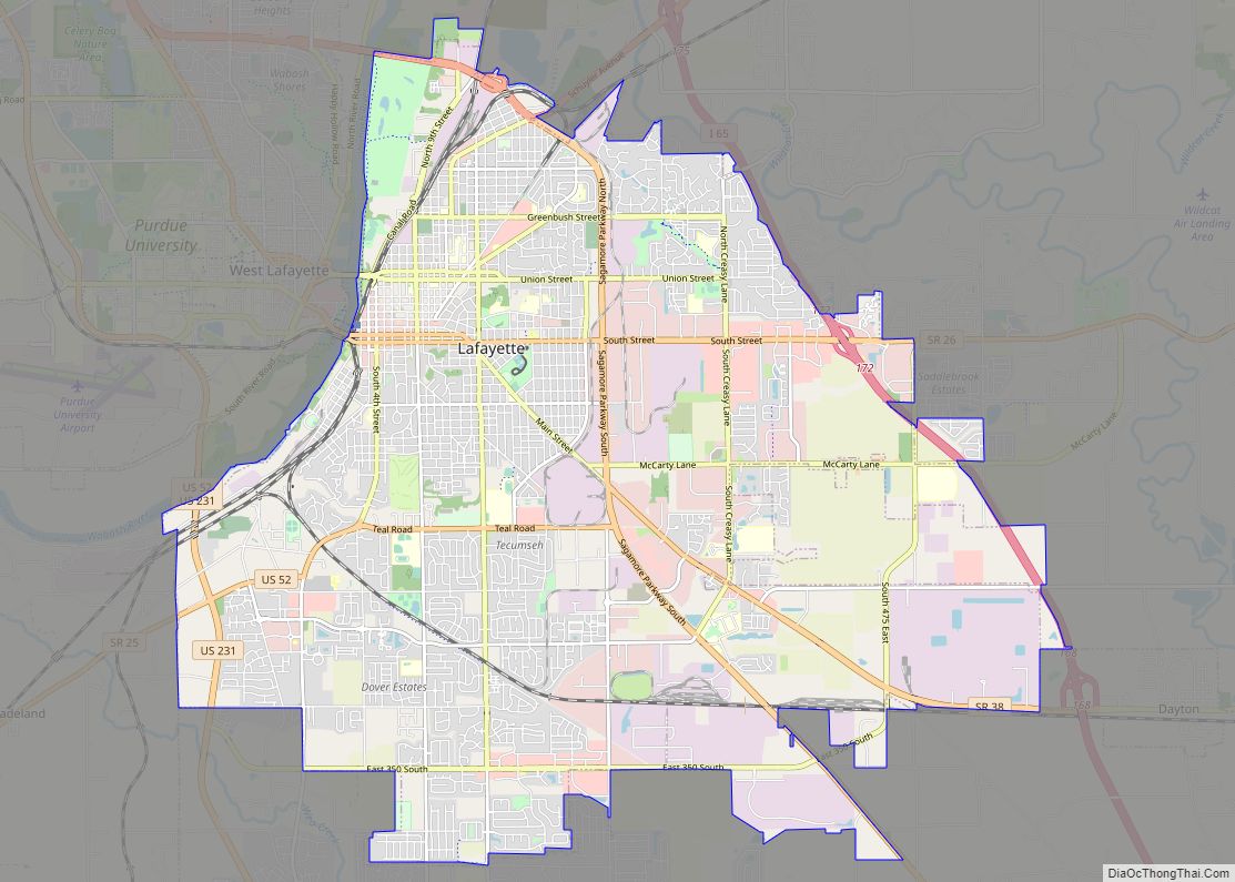
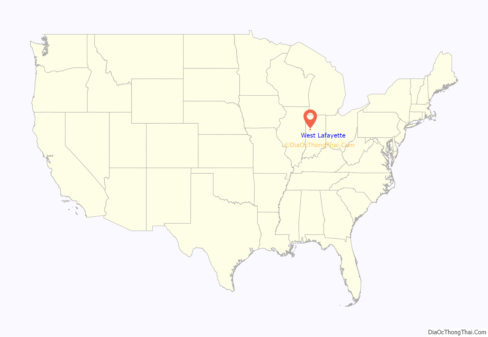
West Lafayette (/ˌlɑːfiːˈɛt, ˌlæf-/) is a city in Wabash Township, Tippecanoe County, Indiana, United States, about 65 miles (105 km) northwest of the state capital of Indianapolis and 113 miles (182 km) southeast of Chicago. West Lafayette is directly across the Wabash River from its sister city, Lafayette. As of the 2020 census, its population was 44,595. It is the most densely populated city in Indiana and is home to Purdue University.
| Name: | West Lafayette city |
|---|---|
| LSAD Code: | 25 |
| LSAD Description: | city (suffix) |
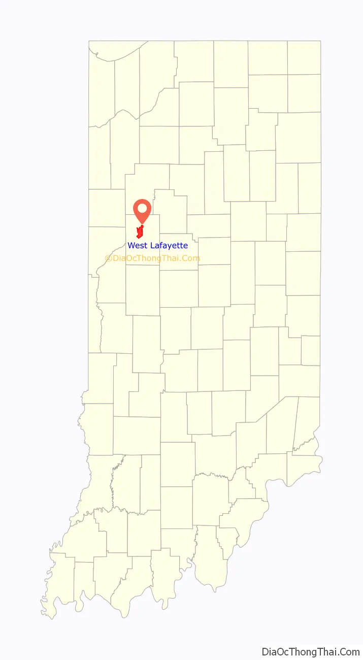
| State: | Indiana |
| County: | Tippecanoe County |
| Incorporated: | 1888 |
| Elevation: | 614 ft (187 m) |
| Land Area: | 13.59 sq mi (35.20 km²) |
| Water Area: | 0.23 sq mi (0.60 km²) |
| Population Density: | 3,281.46/sq mi (1,266.93/km²) |
| ZIP code: | 47906 |
| Area code: | 765 |
| FIPS code: | 1882862 |
| GNISfeature ID: | 445775 |
| Website: | www.westlafayette.in.gov |
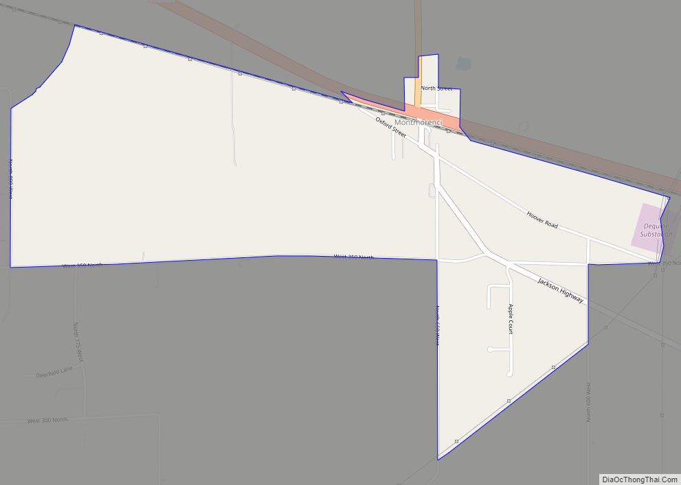
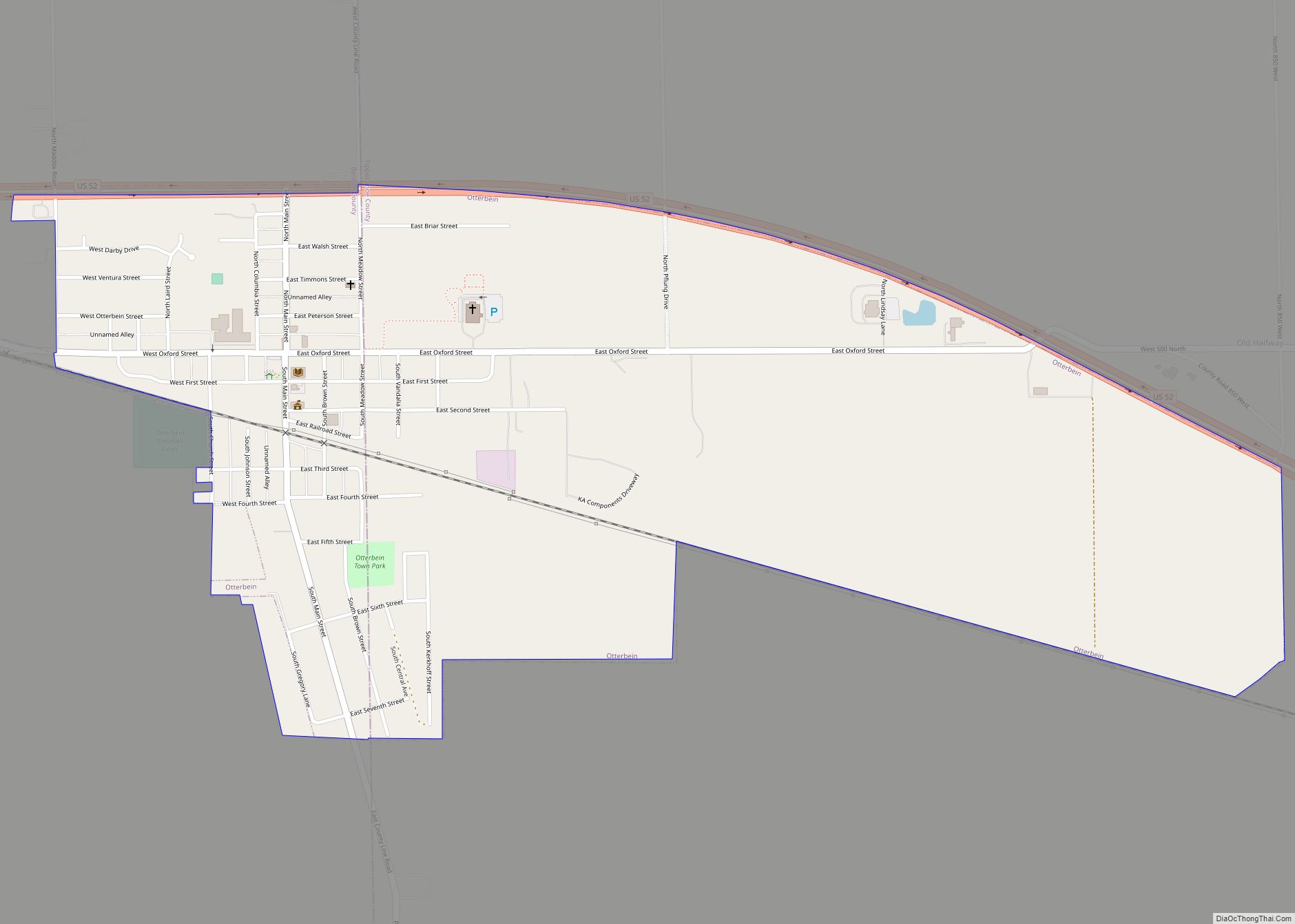
Online Interactive Map
Click on ![]() to view map in "full screen" mode.
to view map in "full screen" mode.
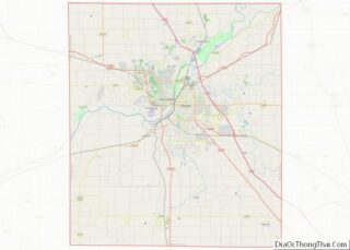
West Lafayette location map. Where is West Lafayette city?
History
Augustus Wylie laid out a town in 1836 in the Wabash River floodplain south of the present Levee. Due to regular flooding of the site, Wylie’s town was never built. The present city was formed in 1888 by the merger of the adjacent suburban towns of Chauncey, Oakwood, and Kingston, located on a bluff across the Wabash River from Lafayette, Indiana. The three towns had been small suburban villages which were directly adjacent to one another. Kingston was laid out in 1855 by Jesse B. Lutz. Chauncey was platted in 1860 by the Chauncey family of Philadelphia, wealthy land speculators. Chauncey and Kingston formed a municipal government in 1866 which selected the name “Chauncey”.
The new town of Chauncey remained a small suburban village until Purdue University opened in 1869. In 1871 Chauncey voted to be annexed by Lafayette because it was unable to provide the infrastructure (such as improved streets, waterworks, police and fire protection). Lafayette voted against annexing Chauncey because of the high cost of the many improvements that the village lacked. In May 1888, the town of Chauncey voted to change its name to West Lafayette after a petition signed by 152 electors. By that time, the growth of the university was fueling the growth of the little town. The address of Purdue University was given as “Lafayette, Indiana” until well into the twentieth century. West Lafayette never gained a railroad depot and lagged several years behind Lafayette in the establishment of municipal infrastructure and services. Today, West Lafayette has established itself as a separate city, with independent services and unique neighborhoods distinct from those of its sister city, Lafayette.
In November 2013, the City of West Lafayette approved an annexation that placed much of the Purdue University academic campus and residence hall system within the official boundaries of the municipality for the first time. This expansion also included a large section of the US Highway 231 corridor that was previously part of unincorporated Tippecanoe County.
Alpha Tau Omega Fraternity House, Jesse Andrew House, Chauncey-Stadium Avenues Historic District, John E. and Catherine E. Christian House, Curtis-Grace House, Happy Hollow Heights Historic District, Hills and Dales Historic District, Morton School, and The Varsity are listed on the National Register of Historic Places.
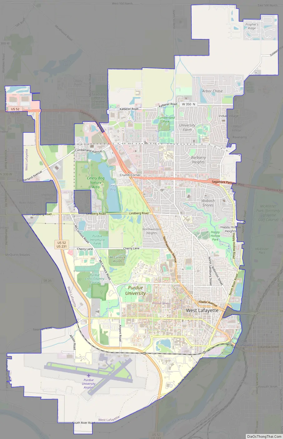
West Lafayette Road Map
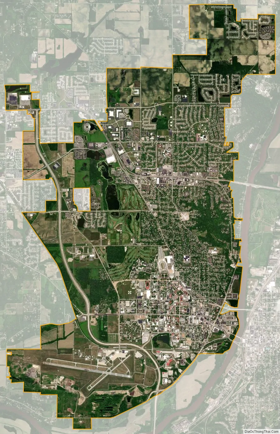
West Lafayette city Satellite Map
Geography
West Lafayette lies in central Tippecanoe County and overlooks the Wabash River, which borders the city on the east and south. Most of the city lies in eastern Wabash Township, though a small portion on the northeast side extends into Tippecanoe Township. Elevations range from slightly over 500 feet (150 m) near the river to more than 720 feet (220 m) in northern parts of the city near U.S. Route 52.
According to the 2010 census, West Lafayette has a total area of 7.63 square miles (19.76 km), of which 7.62 square miles (19.74 km) (or 99.87%) is land and 0.01 square miles (0.03 km) (or 0.13%) is water.
Neighborhoods
- Avondale
- Bar Barry Heights
- Camelback
- Glenwood Heights
- Happy Hollow
- Hills and Dales[1]
- New Chauncey Neighborhood[2]
- Northwestern Heights
- Park Ridge
- Peppermill Village
- Plaza Park
- Prophets Ridge
- Stonebridge
- University Farm
- Wabash Shores
See also
Map of Indiana State and its subdivision:- Adams
- Allen
- Bartholomew
- Benton
- Blackford
- Boone
- Brown
- Carroll
- Cass
- Clark
- Clay
- Clinton
- Crawford
- Daviess
- De Kalb
- Dearborn
- Decatur
- Delaware
- Dubois
- Elkhart
- Fayette
- Floyd
- Fountain
- Franklin
- Fulton
- Gibson
- Grant
- Greene
- Hamilton
- Hancock
- Harrison
- Hendricks
- Henry
- Howard
- Huntington
- Jackson
- Jasper
- Jay
- Jefferson
- Jennings
- Johnson
- Knox
- Kosciusko
- LaGrange
- Lake
- Lake Michigan
- LaPorte
- Lawrence
- Madison
- Marion
- Marshall
- Martin
- Miami
- Monroe
- Montgomery
- Morgan
- Newton
- Noble
- Ohio
- Orange
- Owen
- Parke
- Perry
- Pike
- Porter
- Posey
- Pulaski
- Putnam
- Randolph
- Ripley
- Rush
- Saint Joseph
- Scott
- Shelby
- Spencer
- Starke
- Steuben
- Sullivan
- Switzerland
- Tippecanoe
- Tipton
- Union
- Vanderburgh
- Vermillion
- Vigo
- Wabash
- Warren
- Warrick
- Washington
- Wayne
- Wells
- White
- Whitley
- Alabama
- Alaska
- Arizona
- Arkansas
- California
- Colorado
- Connecticut
- Delaware
- District of Columbia
- Florida
- Georgia
- Hawaii
- Idaho
- Illinois
- Indiana
- Iowa
- Kansas
- Kentucky
- Louisiana
- Maine
- Maryland
- Massachusetts
- Michigan
- Minnesota
- Mississippi
- Missouri
- Montana
- Nebraska
- Nevada
- New Hampshire
- New Jersey
- New Mexico
- New York
- North Carolina
- North Dakota
- Ohio
- Oklahoma
- Oregon
- Pennsylvania
- Rhode Island
- South Carolina
- South Dakota
- Tennessee
- Texas
- Utah
- Vermont
- Virginia
- Washington
- West Virginia
- Wisconsin
- Wyoming