Camden is a town in Jackson Township, Carroll County, Indiana, United States. The population was 611 at the 2010 census. It is part of the Lafayette, Indiana Metropolitan Statistical Area. Camden town overview: Name: Camden town LSAD Code: 43 LSAD Description: town (suffix) State: Indiana County: Carroll County Elevation: 673 ft (205 m) Total Area: 0.26 sq mi (0.67 km²) ... Read more
Indiana Cities and Places
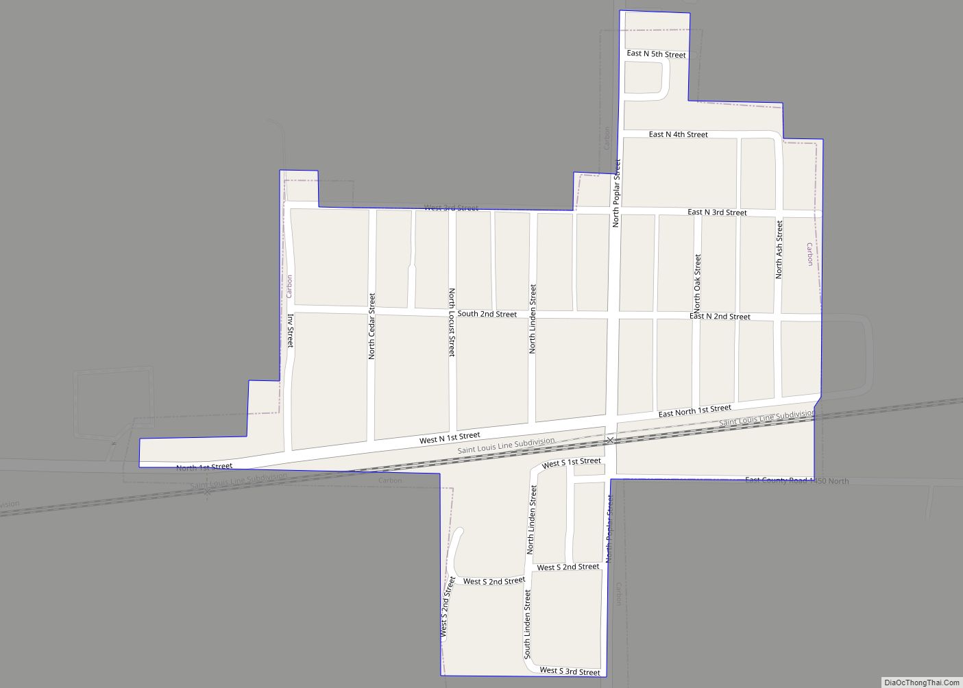
Carbon is a town in Van Buren Township, Clay County, Indiana, United States. The population was 397 at the 2010 census. It is part of the Terre Haute Metropolitan Statistical Area. Carbon town overview: Name: Carbon town LSAD Code: 43 LSAD Description: town (suffix) State: Indiana County: Clay County Elevation: 689 ft (210 m) Total Area: 0.15 sq mi ... Read more
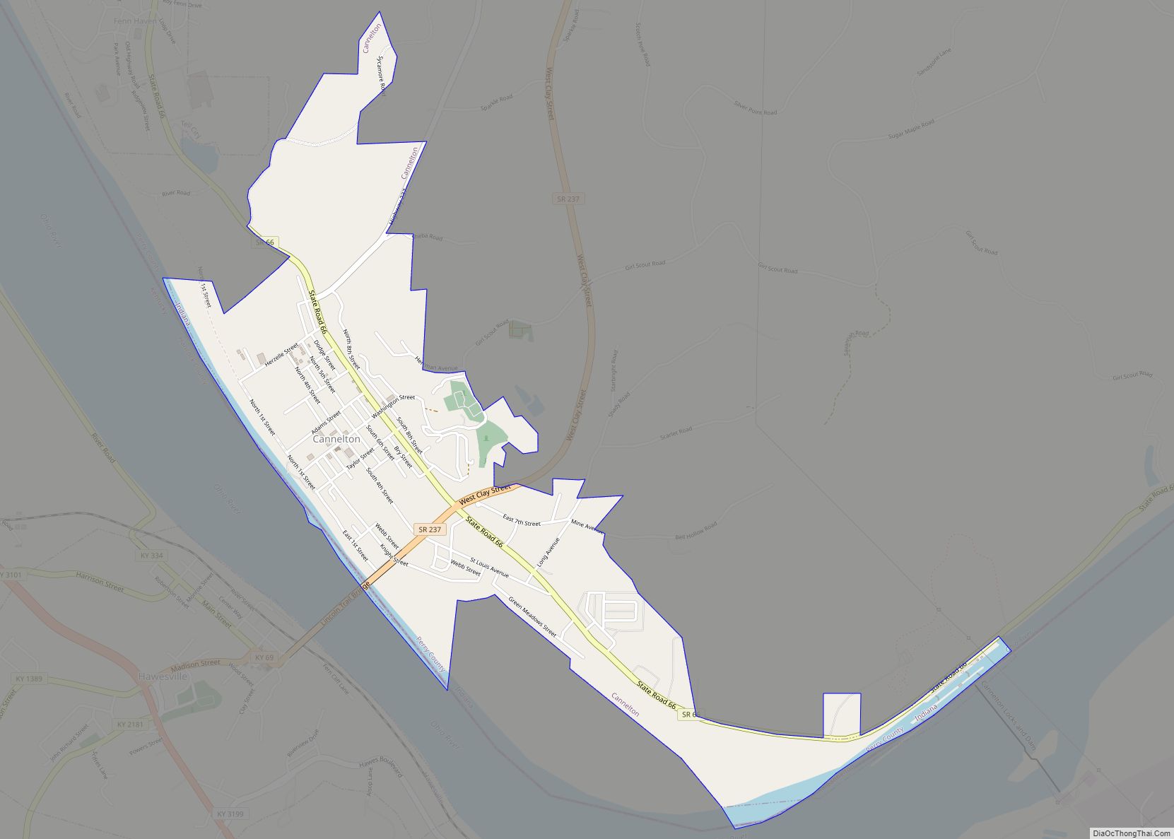
Cannelton is a city in Troy Township, Perry County, in the U.S. state of Indiana, along the Ohio River. The population was 1,563 at the 2010 census. Cannelton, which was the smallest incorporated city in the state until 2010, was formerly the county seat of Perry County until the seat was relocated to Tell City. ... Read more
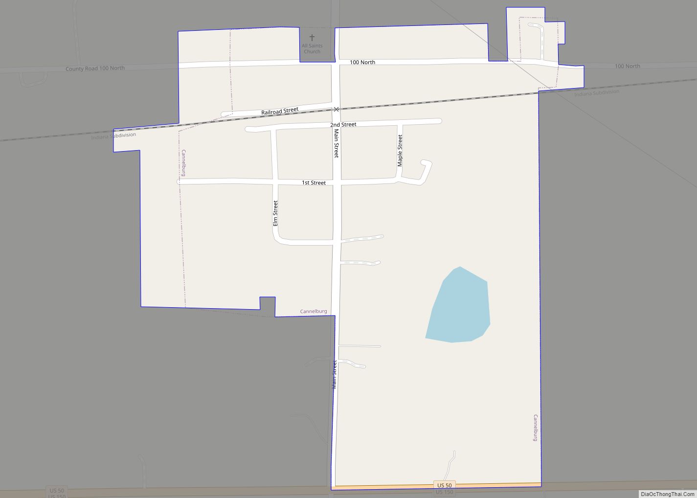
Cannelburg is a town in Barr Township, Daviess County, Indiana, United States. The population was 135 at the 2010 census. Cannelburg town overview: Name: Cannelburg town LSAD Code: 43 LSAD Description: town (suffix) State: Indiana County: Daviess County Elevation: 561 ft (171 m) Total Area: 0.21 sq mi (0.54 km²) Land Area: 0.21 sq mi (0.54 km²) Water Area: 0.00 sq mi (0.00 km²) Total Population: ... Read more
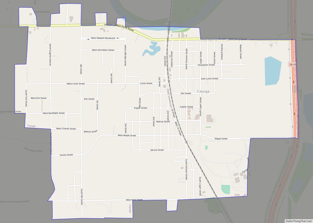
Cayuga is a town in Eugene Township, Vermillion County, in the U.S. state of Indiana. The population was 1,162 at the 2010 census. Cayuga town overview: Name: Cayuga town LSAD Code: 43 LSAD Description: town (suffix) State: Indiana County: Vermillion County Elevation: 505 ft (154 m) Total Area: 1.01 sq mi (2.62 km²) Land Area: 1.01 sq mi (2.62 km²) Water Area: 0.00 sq mi ... Read more
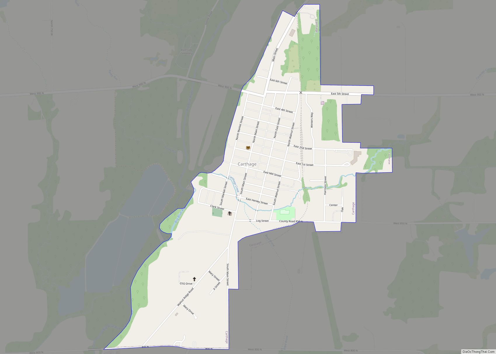
Carthage is a town in Ripley Township, Rush County, Indiana, United States, located along the Big Blue River. The population was 927 at the 2010 census. Carthage town overview: Name: Carthage town LSAD Code: 43 LSAD Description: town (suffix) State: Indiana County: Rush County Elevation: 876 ft (267 m) Total Area: 0.56 sq mi (1.46 km²) Land Area: 0.56 sq mi (1.46 km²) ... Read more
Carlisle is a town in Haddon Township, Sullivan County, in the U.S. state of Indiana. The population was 692 at the 2010 census. It is part of the Terre Haute Metropolitan Statistical Area. Carlisle is home to the Wabash Valley Correctional Facility. Carlisle town overview: Name: Carlisle town LSAD Code: 43 LSAD Description: town (suffix) ... Read more
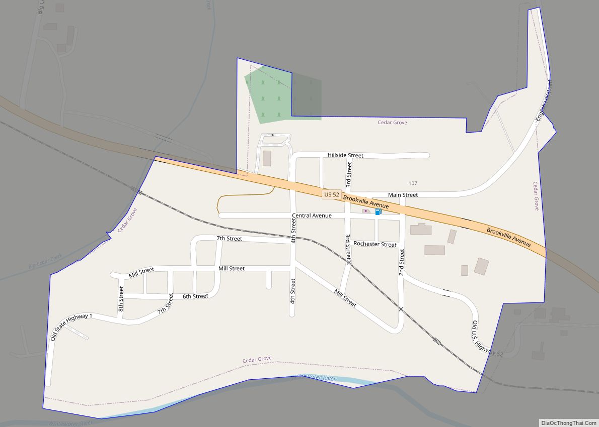
Cedar Grove is a town in Highland Township, Franklin County, Indiana, United States. The population was 156 at the 2010 census. Cedar Grove town overview: Name: Cedar Grove town LSAD Code: 43 LSAD Description: town (suffix) State: Indiana County: Franklin County Elevation: 600 ft (183 m) Total Area: 0.16 sq mi (0.41 km²) Land Area: 0.15 sq mi (0.39 km²) Water Area: 0.01 sq mi ... Read more
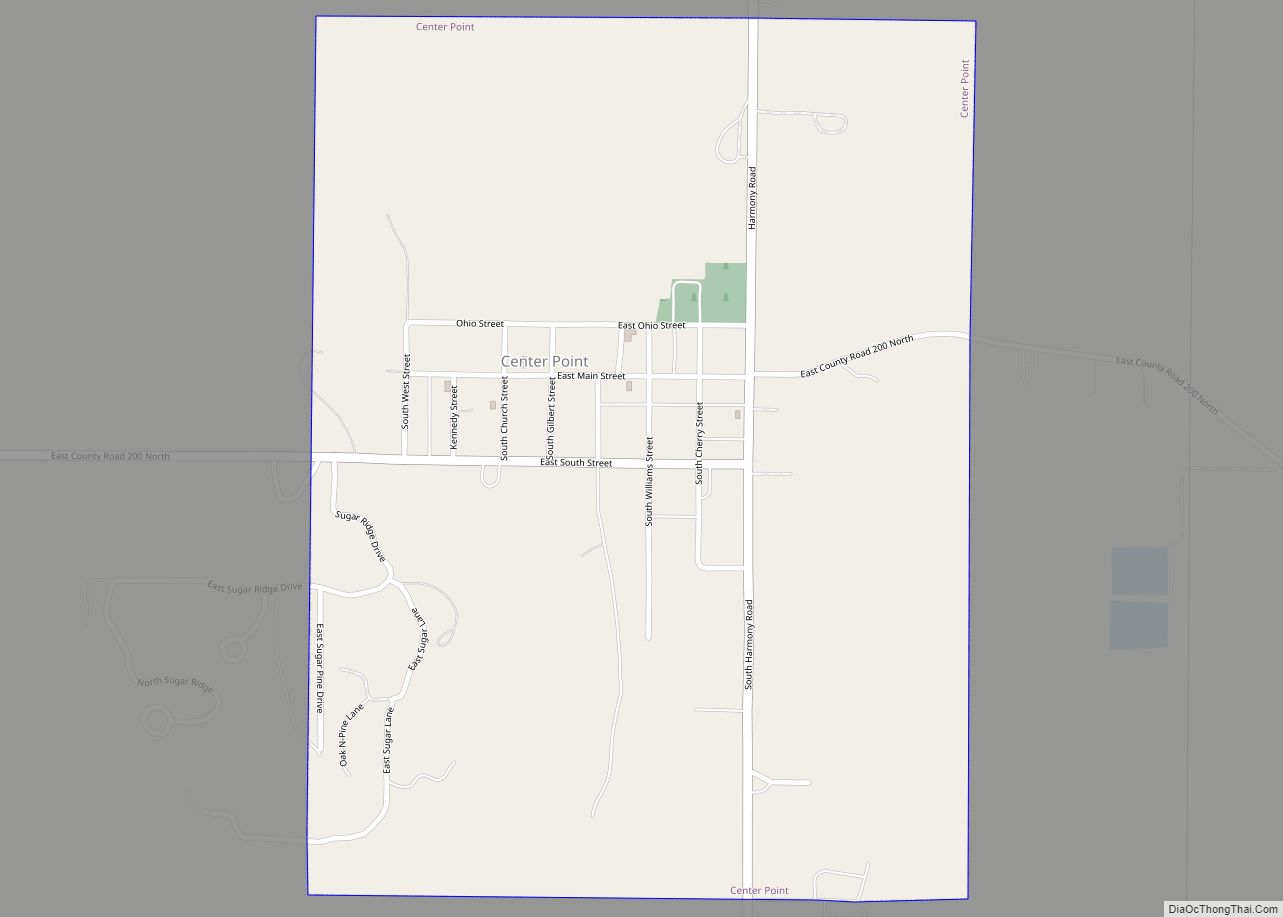
Center Point is a town in Sugar Ridge Township, Clay County, Indiana, United States. The population was 242 at the 2010 census. It is part of the Terre Haute Metropolitan Statistical Area. Center Point town overview: Name: Center Point town LSAD Code: 43 LSAD Description: town (suffix) State: Indiana County: Clay County Elevation: 656 ft (200 m) ... Read more
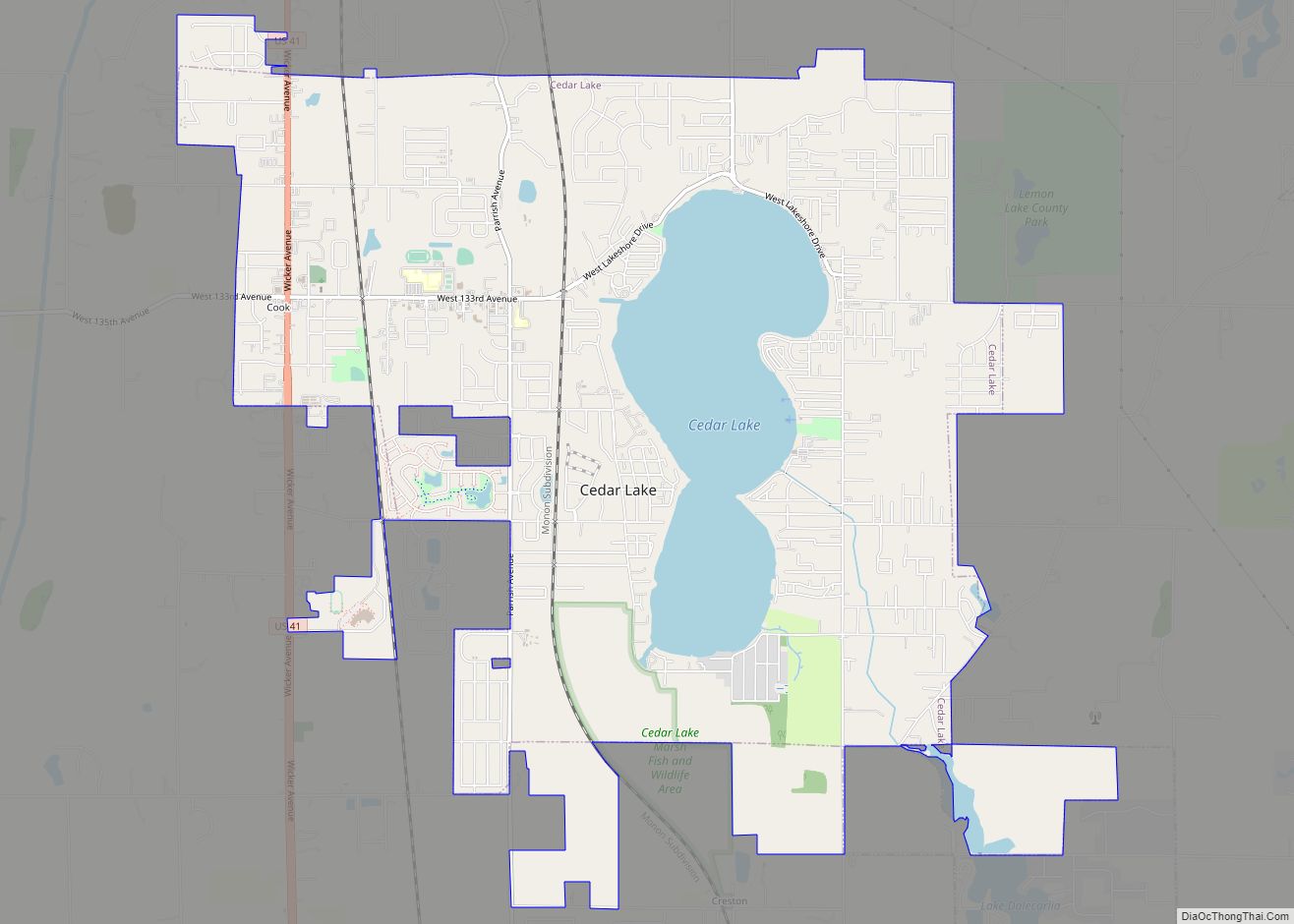
Cedar Lake is a town in Hanover and Center townships, Lake County, Indiana, United States. It is near the Illinois state line. Its population was 11,560 at the 2010 census. The town is notable for its location on Cedar Lake, the Lake of the Red Cedars museum, and veteran charity organization Operation Combat Bikesaver. Cedar ... Read more
Chandler is a town straddling Ohio and Boon Township in Warrick County, Indiana, United States, located just east of Evansville, Indiana along the Ohio River. The population was 3,693 at the 2020 census, making it Warrick County’s second-most populous municipality after Boonville. The town is part of the Evansville metropolitan area with a population of ... Read more
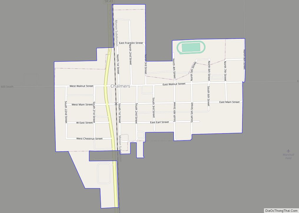
Chalmers is a town in Big Creek Township, White County in the U.S. state of Indiana. Its population was 508 at the 2010 census. Chalmers town overview: Name: Chalmers town LSAD Code: 43 LSAD Description: town (suffix) State: Indiana County: White County Incorporated: 1892 Elevation: 715 ft (218 m) Total Area: 0.30 sq mi (0.78 km²) Land Area: 0.30 sq mi (0.78 km²) ... Read more

