Cayuga is a town in Eugene Township, Vermillion County, in the U.S. state of Indiana. The population was 1,162 at the 2010 census.
| Name: | Cayuga town |
|---|---|
| LSAD Code: | 43 |
| LSAD Description: | town (suffix) |
| State: | Indiana |
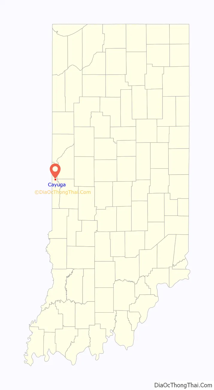
| County: | Vermillion County |
| Elevation: | 505 ft (154 m) |
| Total Area: | 1.01 sq mi (2.62 km²) |
| Land Area: | 1.01 sq mi (2.62 km²) |
| Water Area: | 0.00 sq mi (0.00 km²) |
| Total Population: | 952 |
| Population Density: | 939.78/sq mi (362.69/km²) |
| ZIP code: | 47928 |
| Area code: | 765 |
| FIPS code: | 1810954 |
| GNISfeature ID: | 432255 |
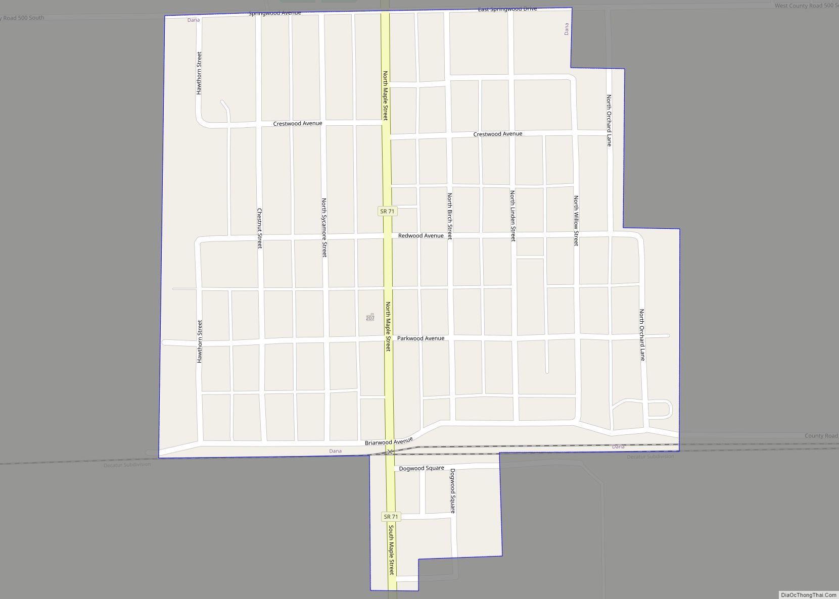
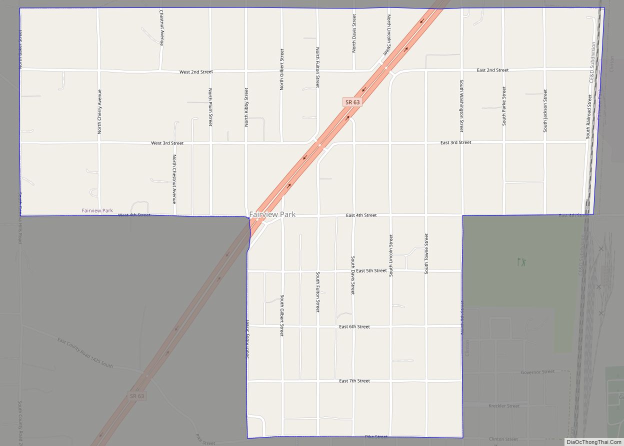
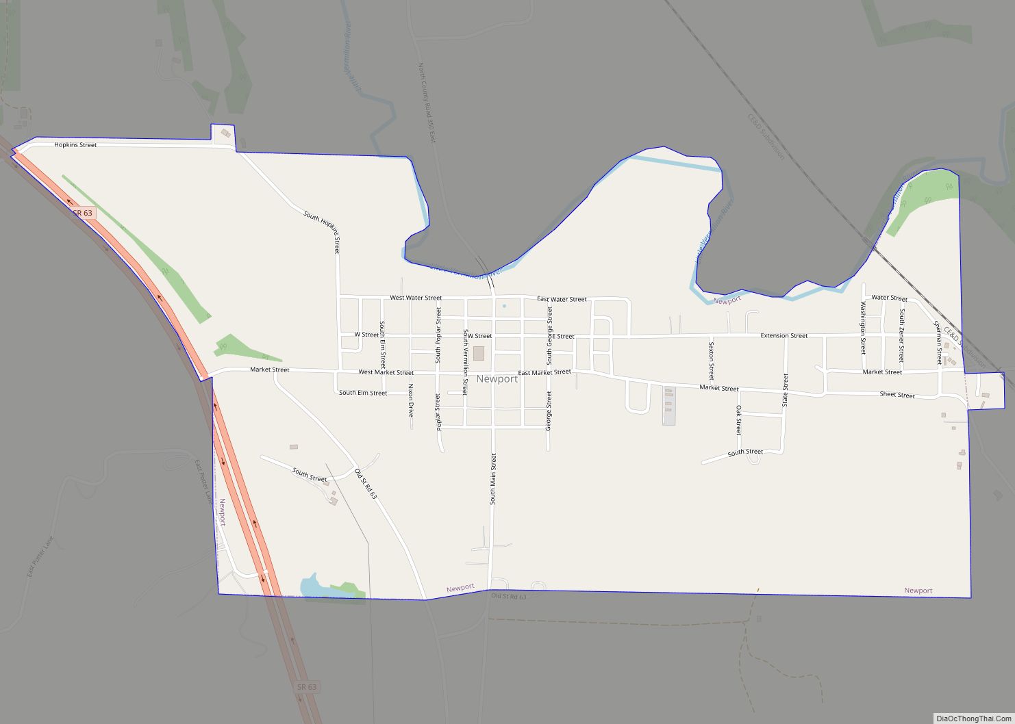
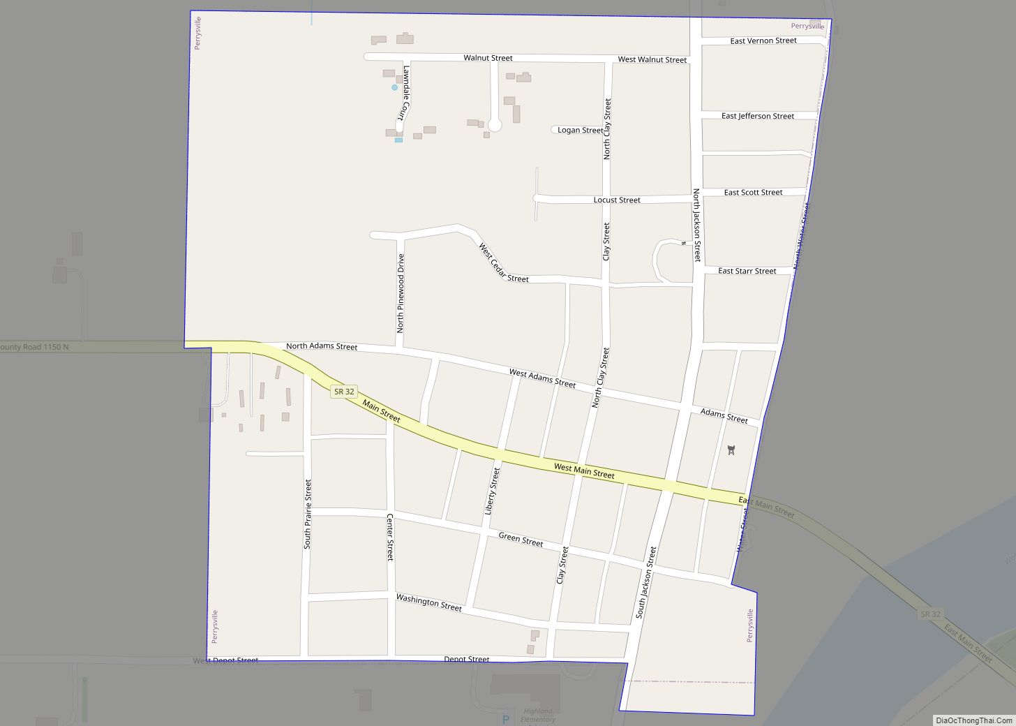
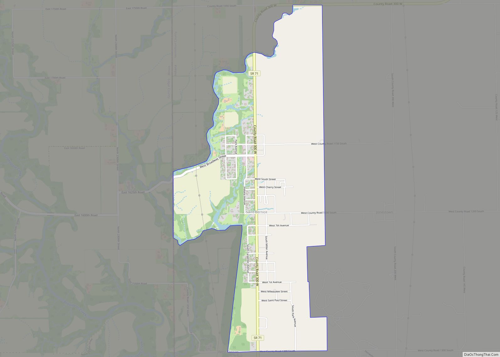
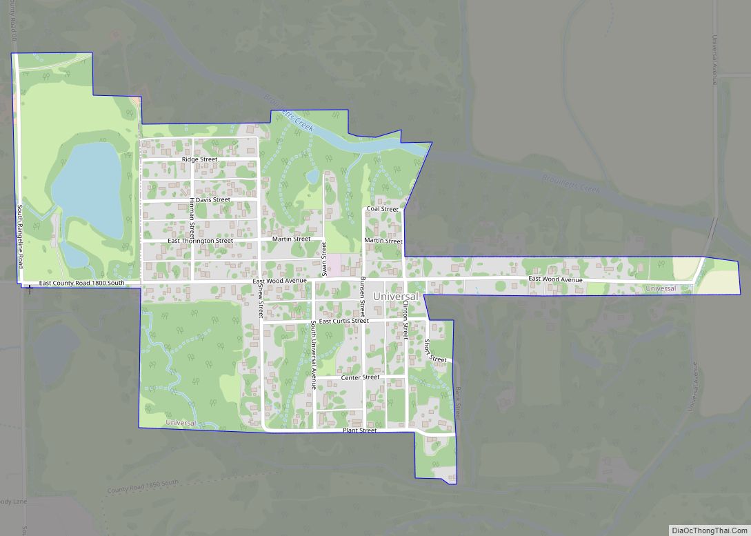
Online Interactive Map
Click on ![]() to view map in "full screen" mode.
to view map in "full screen" mode.
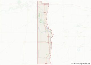
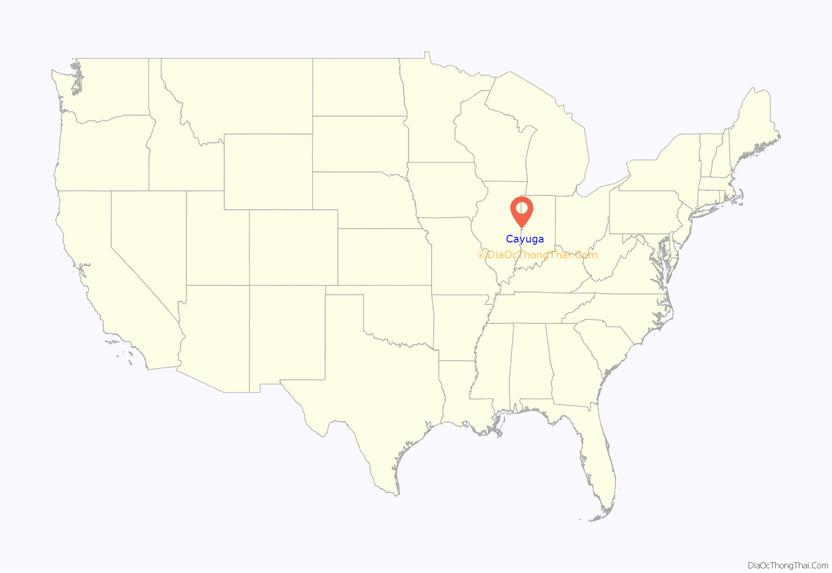
Cayuga location map. Where is Cayuga town?
History
When the town was laid out on September 20, 1827, it was called Eugene Station, though it was also called Osonimon after an Indian chief of that name. It was later renamed after the village of Cayuga and Cayuga Lake in the state of New York; an early settler named John Groenendyke had originally come from Cayuga County, New York, and moved to Vigo County in 1818, then in 1819 moved to the area that later became Vermillion County. The name is based on the Iroquois term Gwa-u-geh, meaning “the place of taking out” (in terms of a portage). Local legend attributes the name to the sound made by the horn of a Ford Model T. The town was incorporated around 1891.
The Cayuga post office has been in operation since 1886.
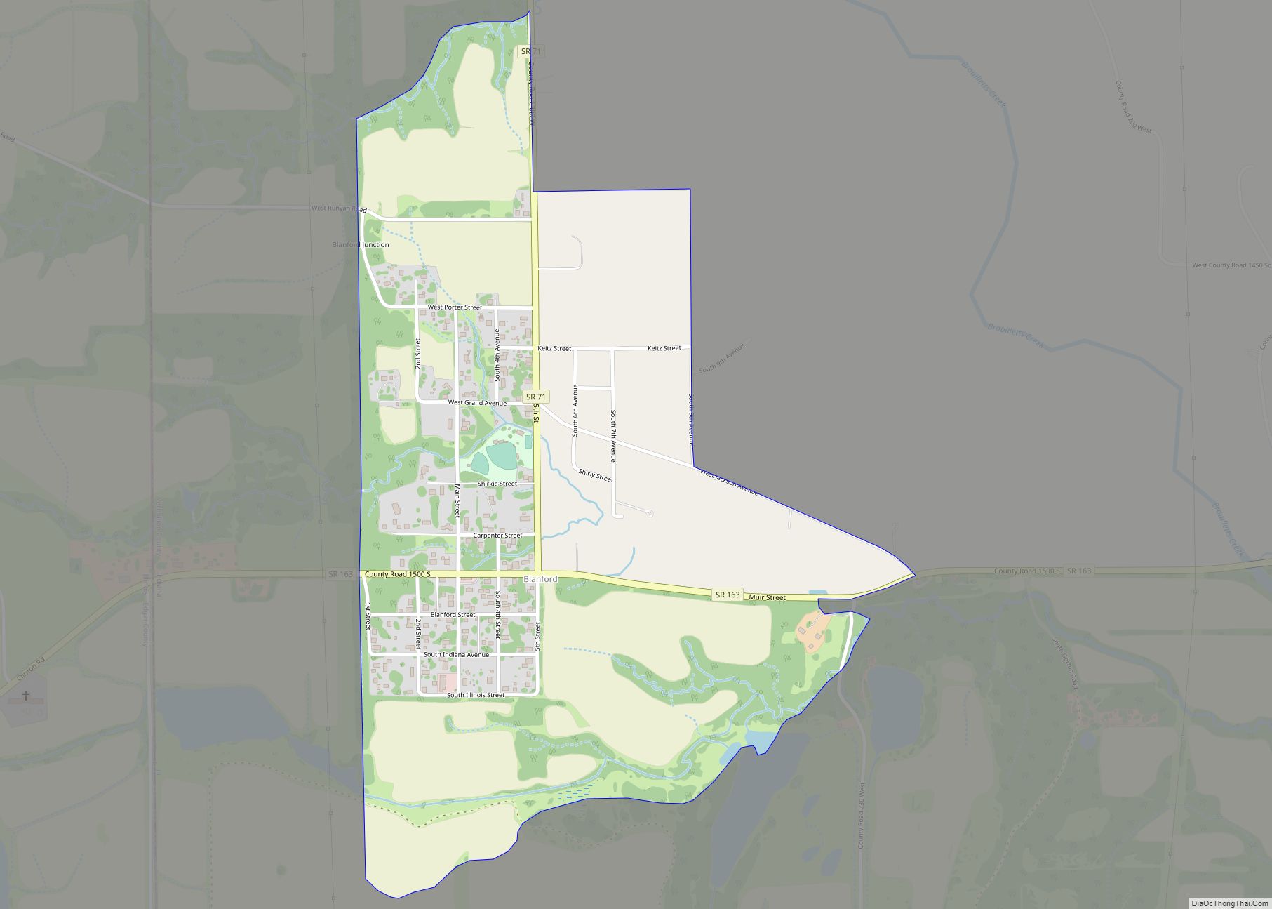
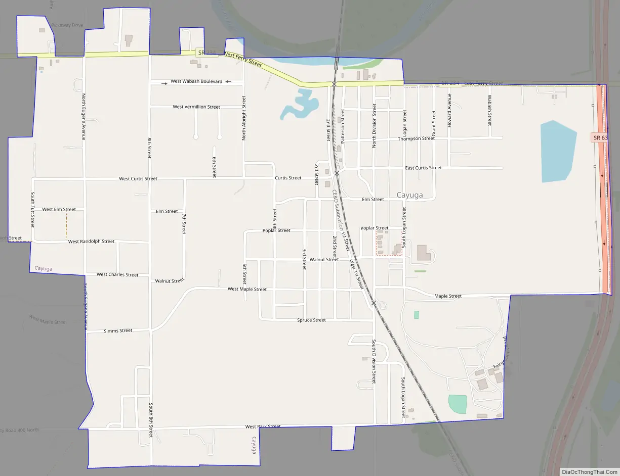
Cayuga Road Map
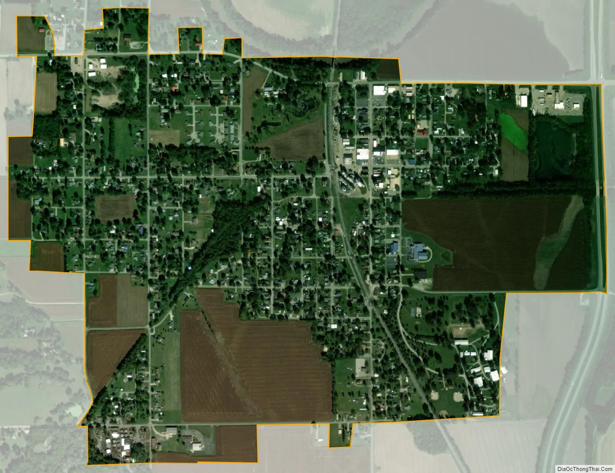
Cayuga city Satellite Map
Geography
Cayuga is located at the intersection of Indiana State Road 63 and Indiana State Road 234, in the northern half of the county, near the confluence of the Vermillion and Wabash rivers.
According to the 2010 census, Cayuga has a total area of 1.01 square miles (2.62 km), all land.
See also
Map of Indiana State and its subdivision:- Adams
- Allen
- Bartholomew
- Benton
- Blackford
- Boone
- Brown
- Carroll
- Cass
- Clark
- Clay
- Clinton
- Crawford
- Daviess
- De Kalb
- Dearborn
- Decatur
- Delaware
- Dubois
- Elkhart
- Fayette
- Floyd
- Fountain
- Franklin
- Fulton
- Gibson
- Grant
- Greene
- Hamilton
- Hancock
- Harrison
- Hendricks
- Henry
- Howard
- Huntington
- Jackson
- Jasper
- Jay
- Jefferson
- Jennings
- Johnson
- Knox
- Kosciusko
- LaGrange
- Lake
- Lake Michigan
- LaPorte
- Lawrence
- Madison
- Marion
- Marshall
- Martin
- Miami
- Monroe
- Montgomery
- Morgan
- Newton
- Noble
- Ohio
- Orange
- Owen
- Parke
- Perry
- Pike
- Porter
- Posey
- Pulaski
- Putnam
- Randolph
- Ripley
- Rush
- Saint Joseph
- Scott
- Shelby
- Spencer
- Starke
- Steuben
- Sullivan
- Switzerland
- Tippecanoe
- Tipton
- Union
- Vanderburgh
- Vermillion
- Vigo
- Wabash
- Warren
- Warrick
- Washington
- Wayne
- Wells
- White
- Whitley
- Alabama
- Alaska
- Arizona
- Arkansas
- California
- Colorado
- Connecticut
- Delaware
- District of Columbia
- Florida
- Georgia
- Hawaii
- Idaho
- Illinois
- Indiana
- Iowa
- Kansas
- Kentucky
- Louisiana
- Maine
- Maryland
- Massachusetts
- Michigan
- Minnesota
- Mississippi
- Missouri
- Montana
- Nebraska
- Nevada
- New Hampshire
- New Jersey
- New Mexico
- New York
- North Carolina
- North Dakota
- Ohio
- Oklahoma
- Oregon
- Pennsylvania
- Rhode Island
- South Carolina
- South Dakota
- Tennessee
- Texas
- Utah
- Vermont
- Virginia
- Washington
- West Virginia
- Wisconsin
- Wyoming