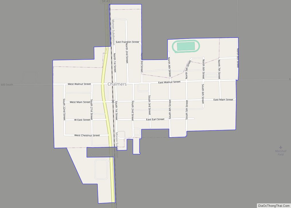
Chalmers is a town in Big Creek Township, White County in the U.S. state of Indiana. Its population was 508 at the 2010 census.
| Name: | Chalmers town |
|---|---|
| LSAD Code: | 43 |
| LSAD Description: | town (suffix) |
| State: | Indiana |
| County: | White County |
| Incorporated: | 1892 |
| Elevation: | 715 ft (218 m) |
| Total Area: | 0.30 sq mi (0.78 km²) |
| Land Area: | 0.30 sq mi (0.78 km²) |
| Water Area: | 0.00 sq mi (0.00 km²) |
| Total Population: | 523 |
| Population Density: | 1,731.79/sq mi (668.77/km²) |
| ZIP code: | 47929 |
| Area code: | Area code 219 |
| FIPS code: | 1811944 |
| GNISfeature ID: | 2396638 |
| Website: | chalmers.in.gov |
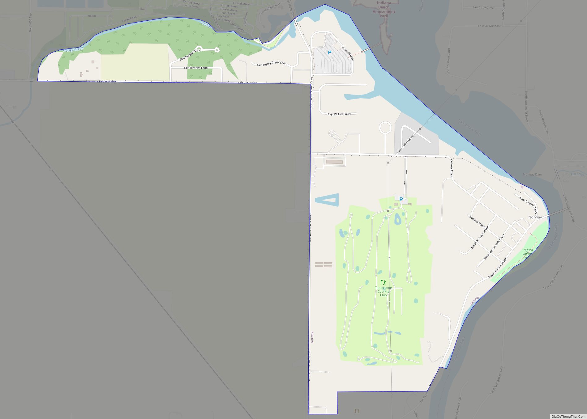
Online Interactive Map
Click on ![]() to view map in "full screen" mode.
to view map in "full screen" mode.
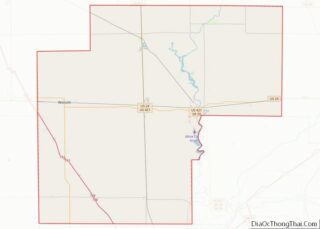
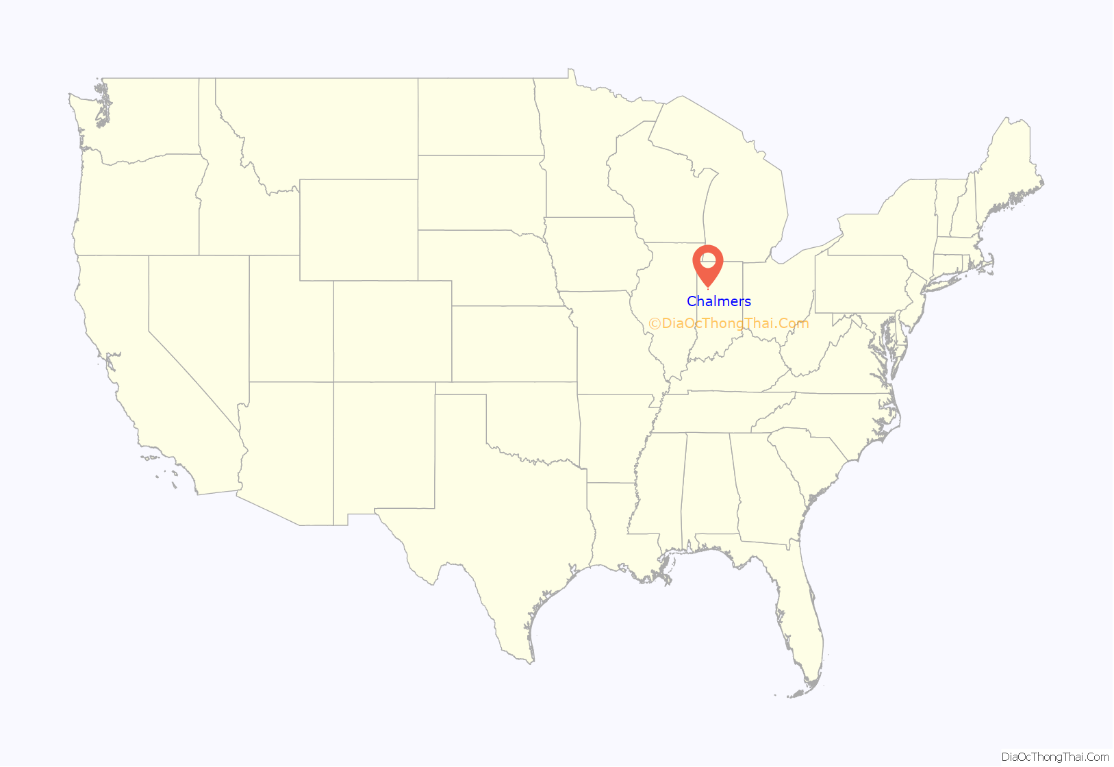
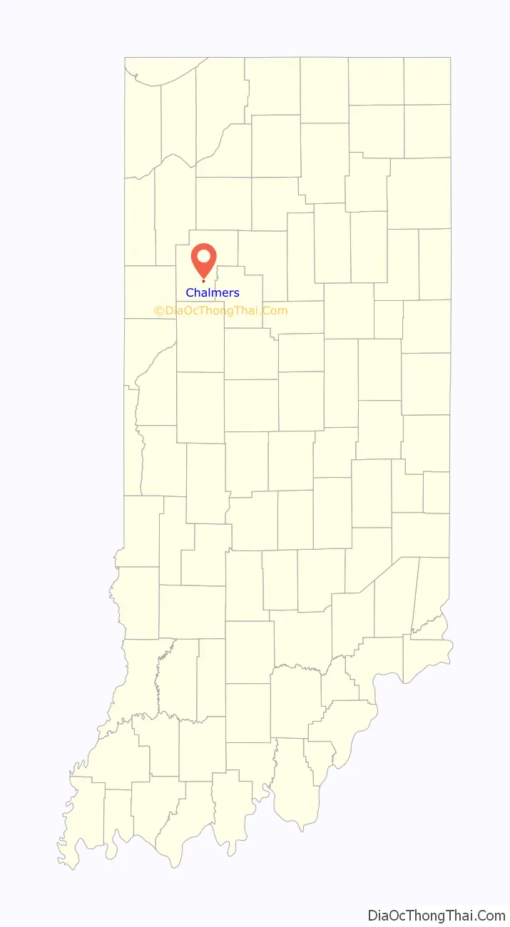
Chalmers location map. Where is Chalmers town?
History
Chalmers dates back to the early 1850s. Land was donated by Gardner Mudge to the Chicago, Indianapolis and Louisville Railway in 1854 after the company constructed a rail line through Big Creek in 1853. Mudge and his brother-in-law operated a general store. On April 21, 1854, a Post Office was established with Mudge serving as postmaster.
Chalmers was platted on July 24, 1873; it included 103 lots on six streets. Several homes and stores were erected, and a school was constructed in the early 1870s. The first church was organized in 1878, and a tile factory was erected in the same year. The Bank of Chalmers was established by Jacob Raub in the early 1890s with a capital of $10,000. Chalmers became an incorporated town in 1892. “The Ledger” served as the first community newspaper, published initially in 1893. In 1895, a train station which later became a symbol of the town’s history was constructed.
The village was originally known by many as “Mudge’s Station,” after Gardner Mudge. The name “Chalmers” was listed on railroad timetables of New Albany and Salem as early as 1856. By 1912, Chalmers had approximately 600 residents. It consisted of two grain elevators, a factory, fifteen stores, two banks, two livery barns, three blacksmith shops, a lumber yard, two hotels, two garages, and dozens of homes.
Although the depot was demolished in 1976, the railroad which passes through Chalmers is still in use and is operated by CSX Transportation.
An archive of the town’s history is maintained by the Chalmers Historical Society.
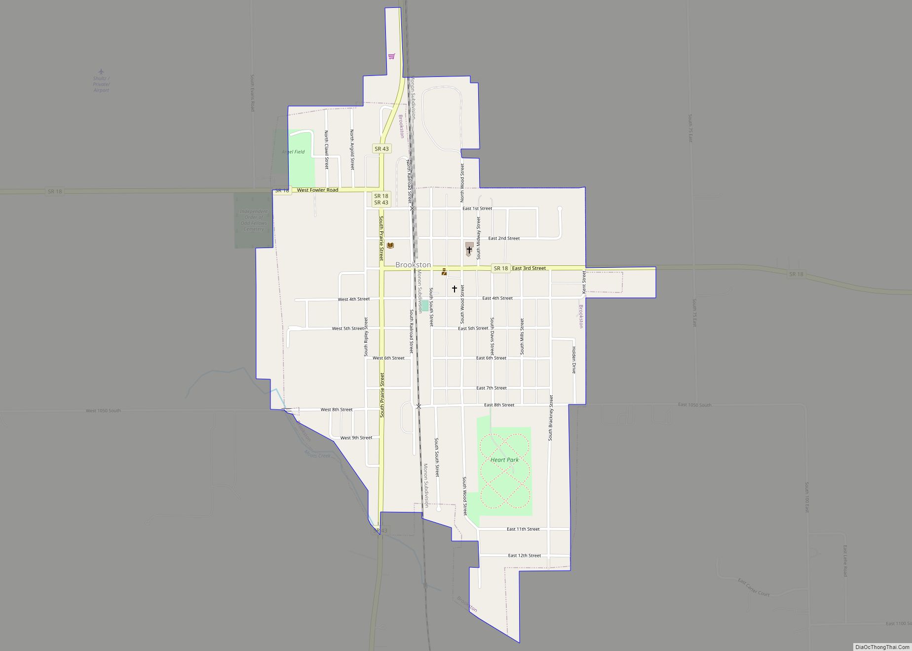
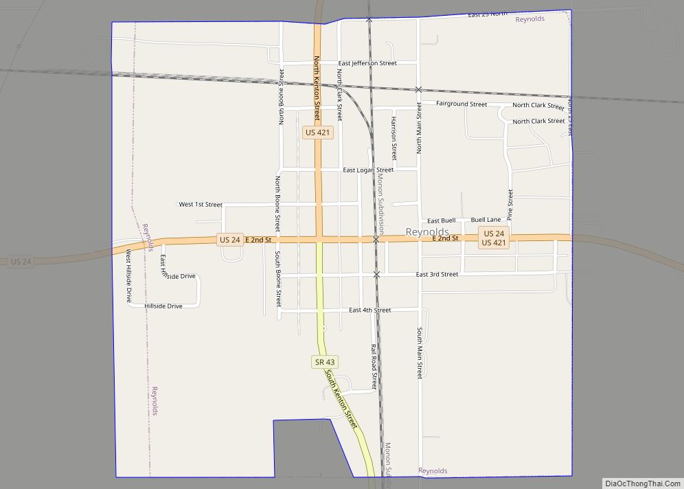
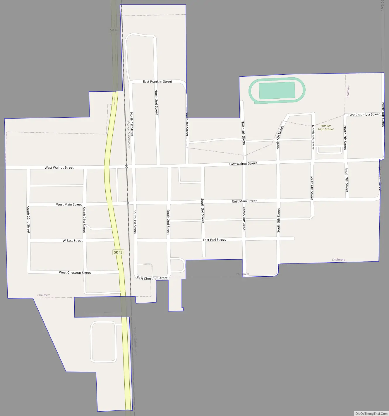
Chalmers Road Map
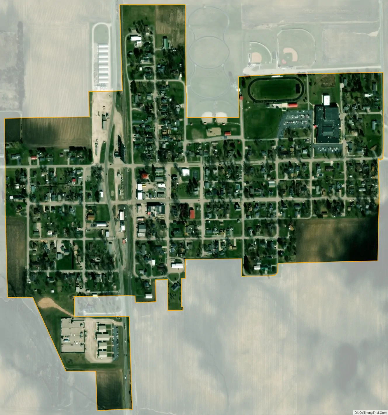
Chalmers city Satellite Map
Geography
According to the 2010 census, it has a total area of 0.25 square miles (0.65 km), all land.
See also
Map of Indiana State and its subdivision:- Adams
- Allen
- Bartholomew
- Benton
- Blackford
- Boone
- Brown
- Carroll
- Cass
- Clark
- Clay
- Clinton
- Crawford
- Daviess
- De Kalb
- Dearborn
- Decatur
- Delaware
- Dubois
- Elkhart
- Fayette
- Floyd
- Fountain
- Franklin
- Fulton
- Gibson
- Grant
- Greene
- Hamilton
- Hancock
- Harrison
- Hendricks
- Henry
- Howard
- Huntington
- Jackson
- Jasper
- Jay
- Jefferson
- Jennings
- Johnson
- Knox
- Kosciusko
- LaGrange
- Lake
- Lake Michigan
- LaPorte
- Lawrence
- Madison
- Marion
- Marshall
- Martin
- Miami
- Monroe
- Montgomery
- Morgan
- Newton
- Noble
- Ohio
- Orange
- Owen
- Parke
- Perry
- Pike
- Porter
- Posey
- Pulaski
- Putnam
- Randolph
- Ripley
- Rush
- Saint Joseph
- Scott
- Shelby
- Spencer
- Starke
- Steuben
- Sullivan
- Switzerland
- Tippecanoe
- Tipton
- Union
- Vanderburgh
- Vermillion
- Vigo
- Wabash
- Warren
- Warrick
- Washington
- Wayne
- Wells
- White
- Whitley
- Alabama
- Alaska
- Arizona
- Arkansas
- California
- Colorado
- Connecticut
- Delaware
- District of Columbia
- Florida
- Georgia
- Hawaii
- Idaho
- Illinois
- Indiana
- Iowa
- Kansas
- Kentucky
- Louisiana
- Maine
- Maryland
- Massachusetts
- Michigan
- Minnesota
- Mississippi
- Missouri
- Montana
- Nebraska
- Nevada
- New Hampshire
- New Jersey
- New Mexico
- New York
- North Carolina
- North Dakota
- Ohio
- Oklahoma
- Oregon
- Pennsylvania
- Rhode Island
- South Carolina
- South Dakota
- Tennessee
- Texas
- Utah
- Vermont
- Virginia
- Washington
- West Virginia
- Wisconsin
- Wyoming